Day 2 - Belle Fourche, SD to Tamarack, Idaho
|
|
I looked out the window in the morning and was dismayed to see it had just rained and there was a low overcast. Checking the weather, I could see it cleared up to the west. The ceiling was about 1,000 feet so I figured I could make it easily enough to the clear weather.
I talked with Jim the airport manager. Interesting guy. He keeps busy running the airport, doing aircraft maintenance, and building Super Cubs for people. His workmanship was outstanding.
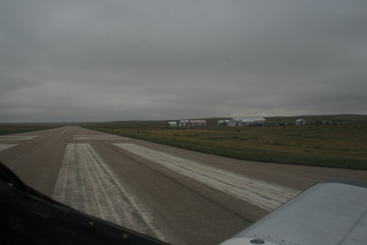
Taking off at Belle Fourche in the morning.
|
| |
 |
|
|
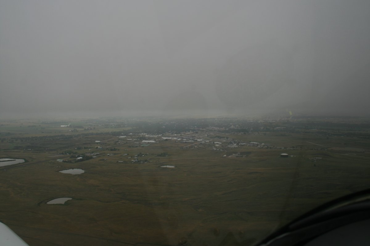
The town of Belle Fourche is a few miles south of the airport. It's not a very big town.
|
| |
 |
|
| Originally, my plan had been to fly south to the Black Hills and check out Mount Rushmore, and the Crazy Horse monument. But flying around the Black Hills was not a good idea with the low ceiling so I just headed west across South Dakota and into Wyoming. |
| |
 |
|
|
The weather wasn't great but it was flyable.
|
| |
 |
|
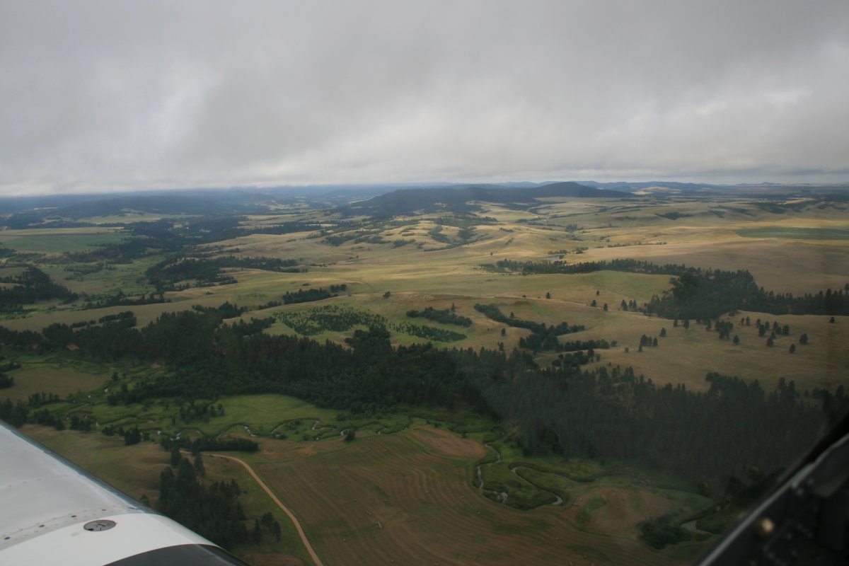
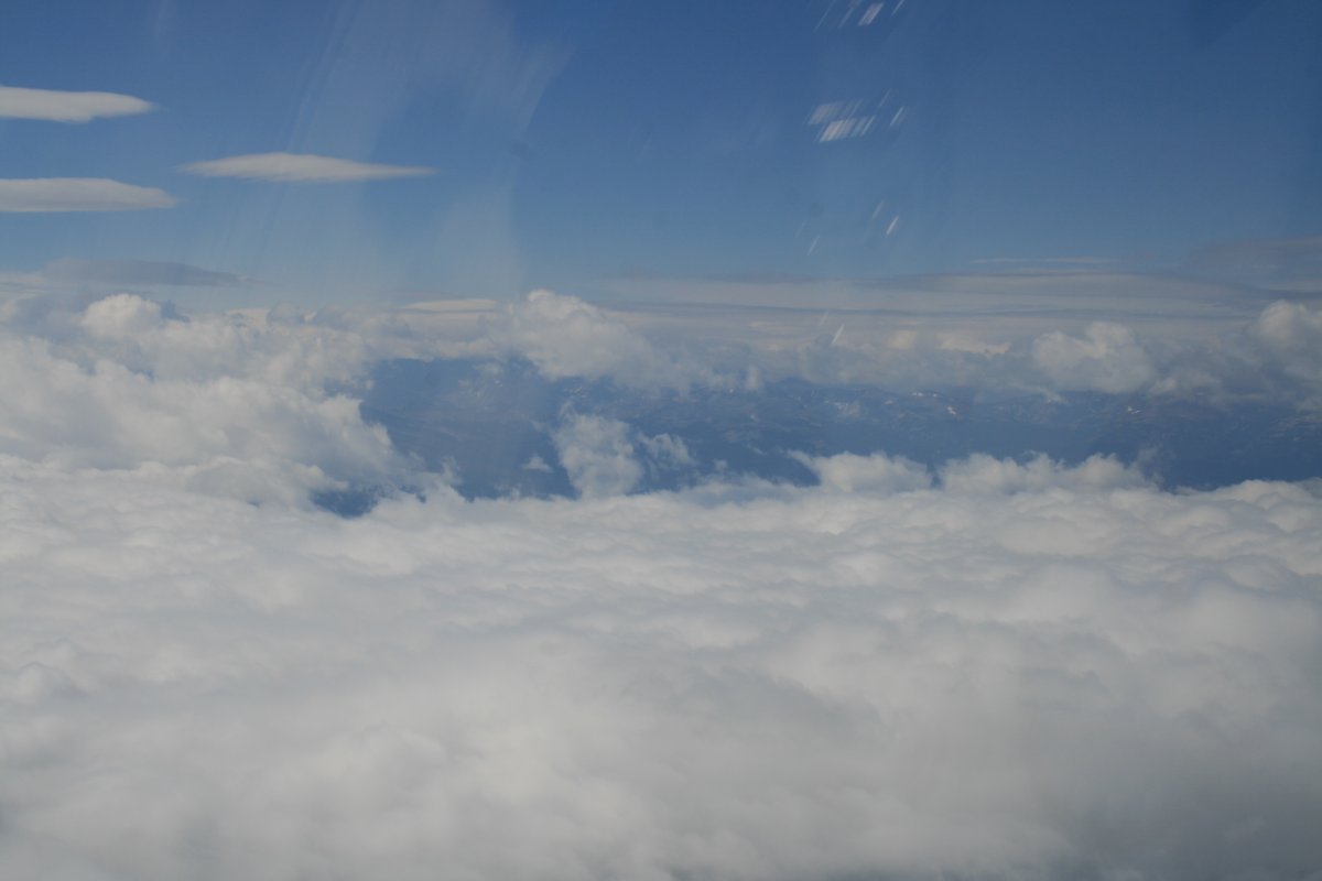
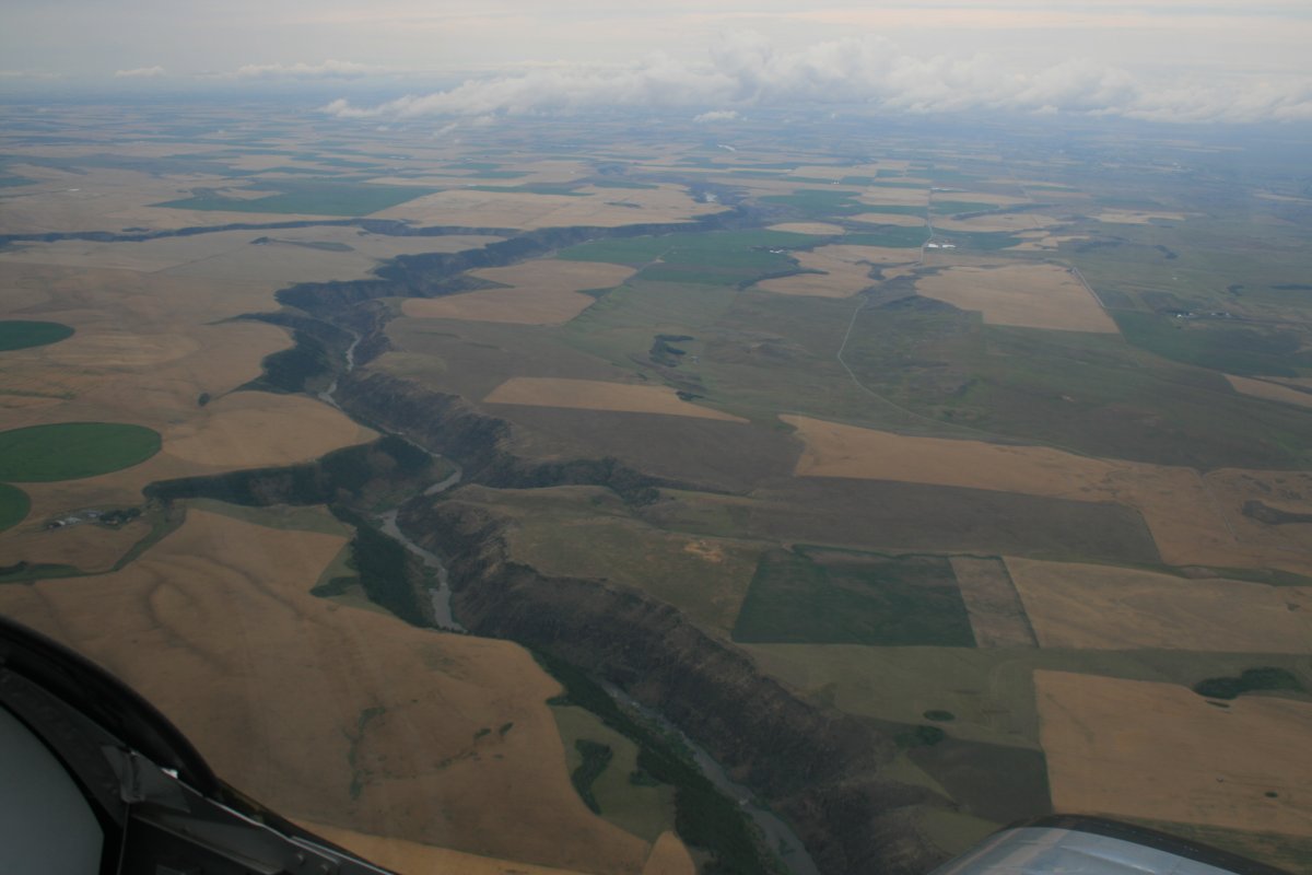
| Soon the overcast started breaking up. The country was very beautiful. |
| |
 |
|
| |
| |
 |
|
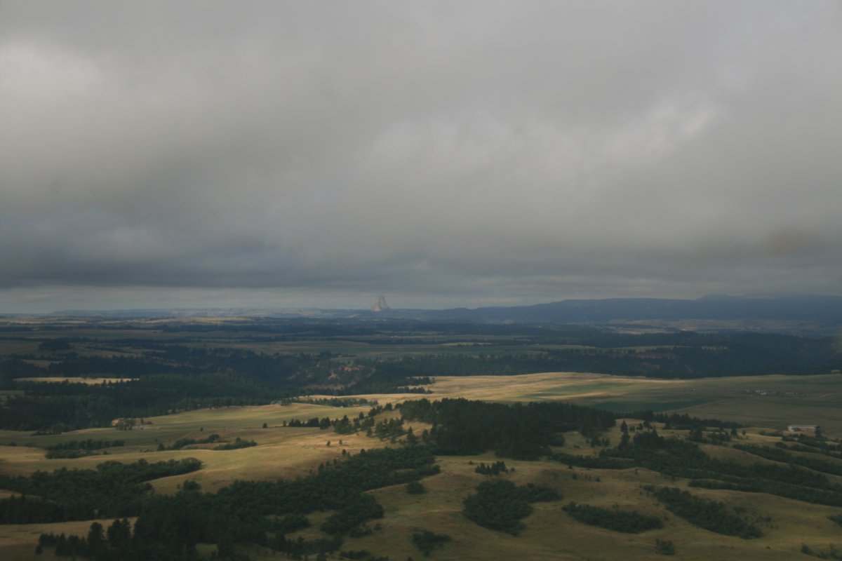
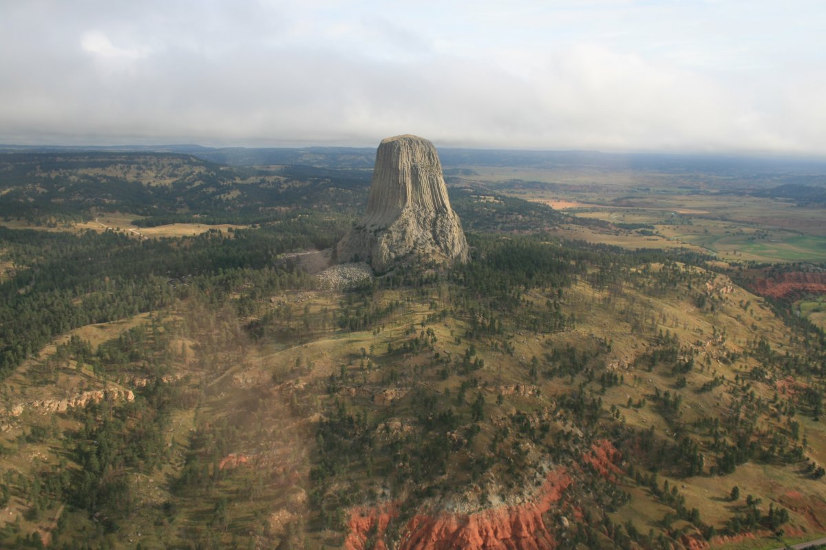
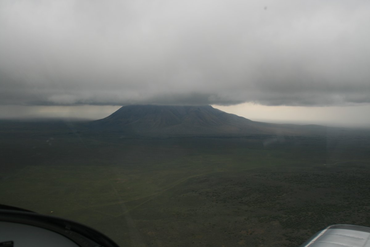
| After the Black Hills, I had planned to check out Devil's Tower. But I had forgotten all about it. Then I saw this off the nose. |
| |
 |
|
|
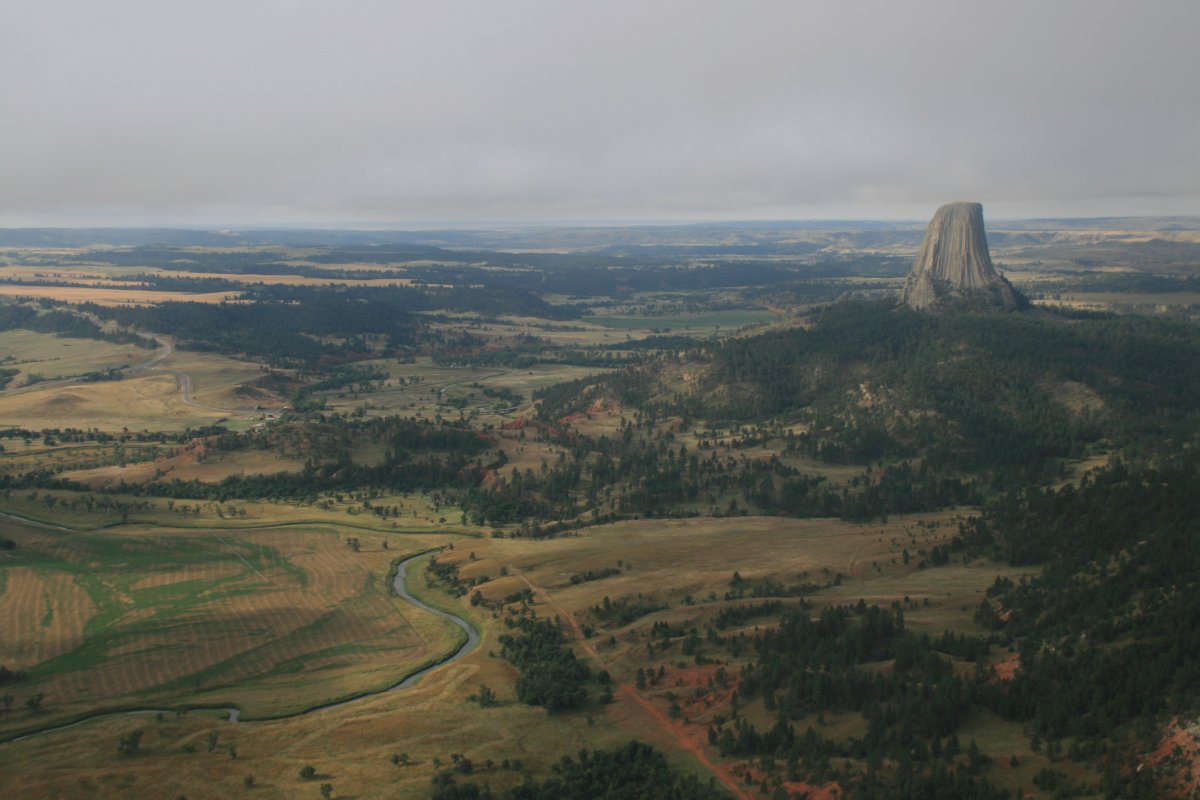
Lynnette and I saw Devil's Tower 30 years or so ago from the road, but it looked nothing like this.
|
| |
 |
|
| |
| |
 |
|
|
Leaving Devil's Tower, I continued west. I headed for Sheridan County airport on the east side of the Bighorn Mountains.
|
| |
 |
|
| |
| |
 |
|
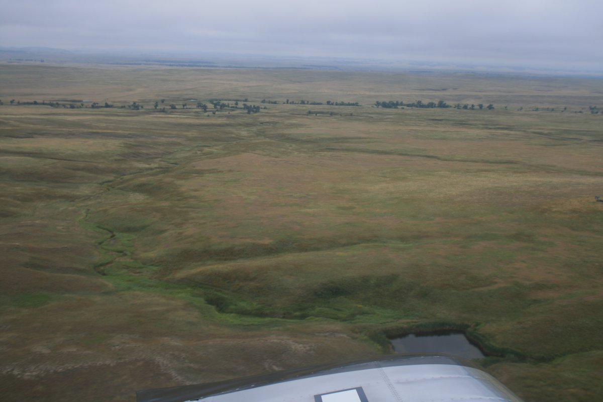
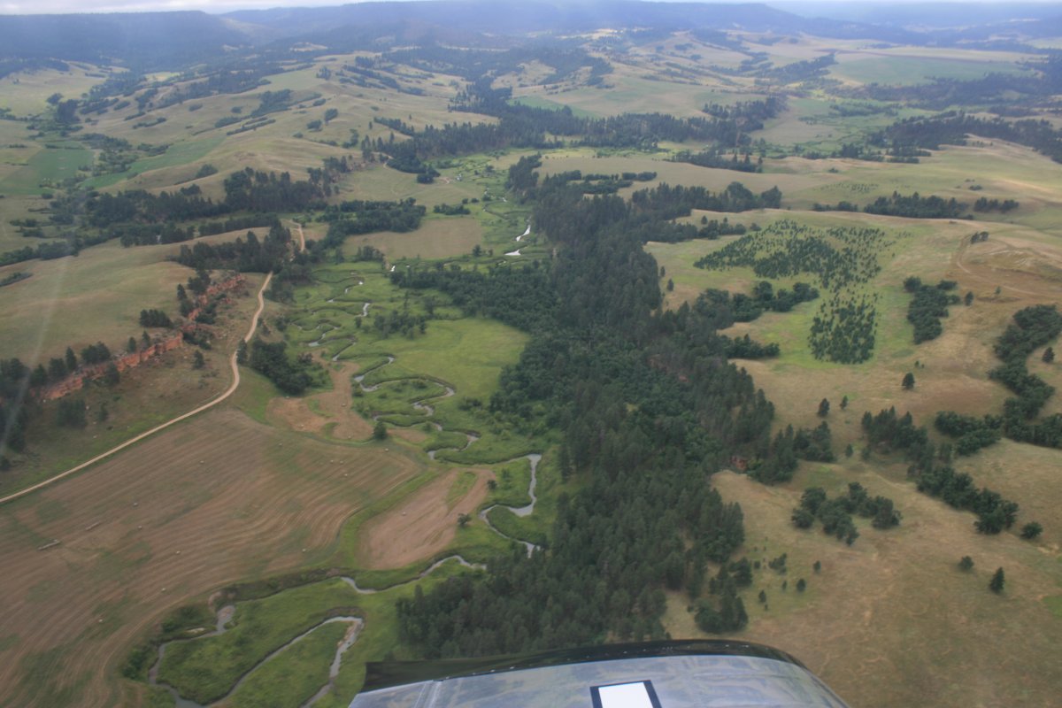
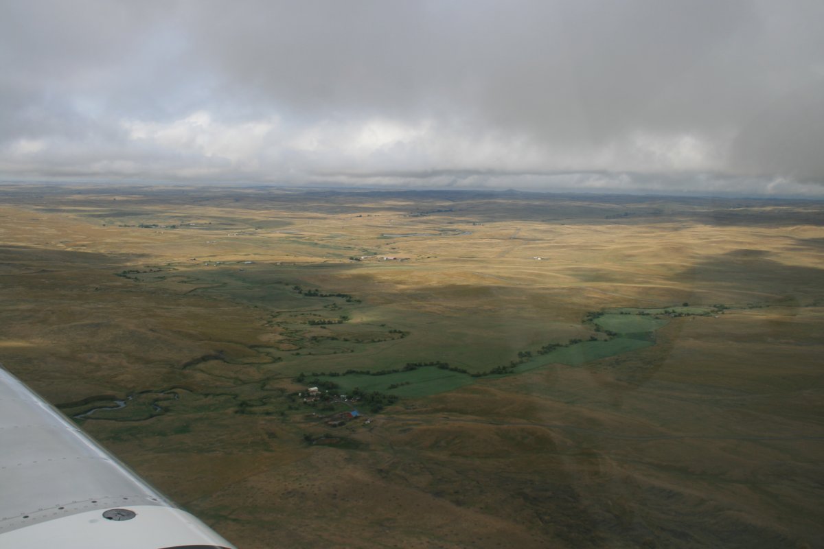
| It was beautiful country. Remote though. Not much civilization out here. There was a lot of blue sky by this time. |
| |
 |
|
| And then it started clouding up. |
| |
 |
|
|
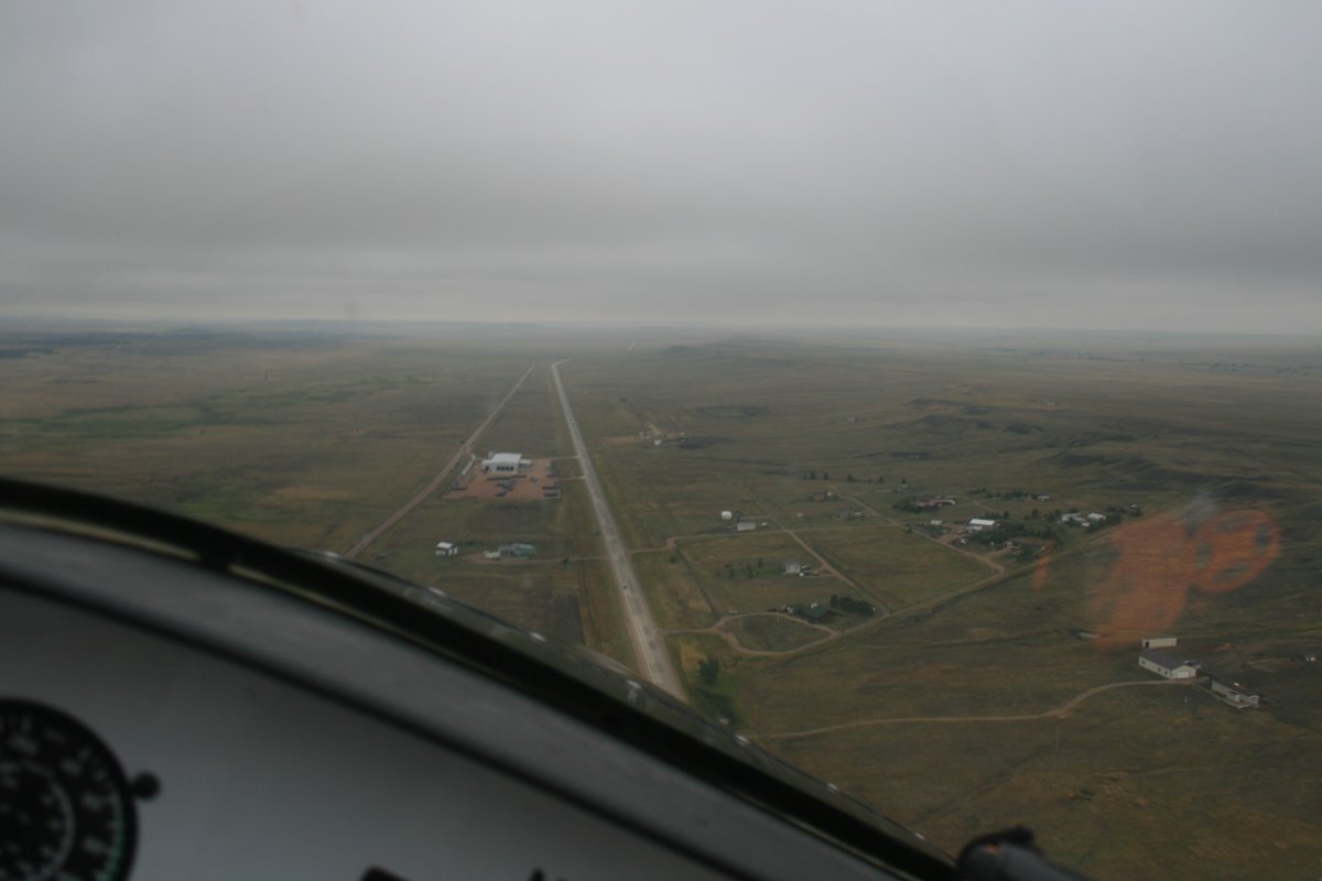
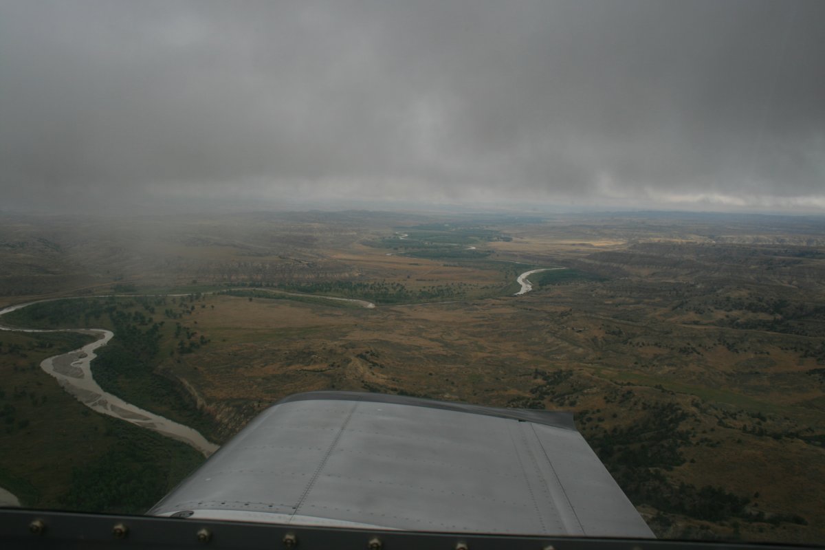
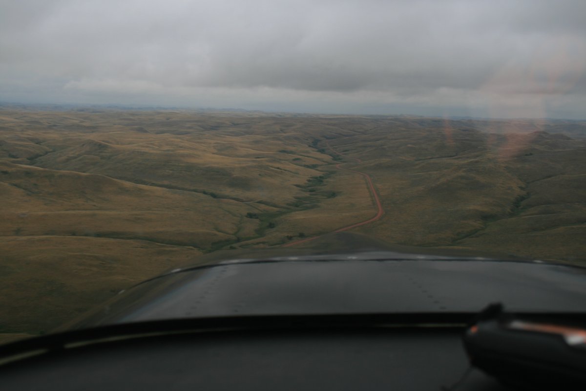
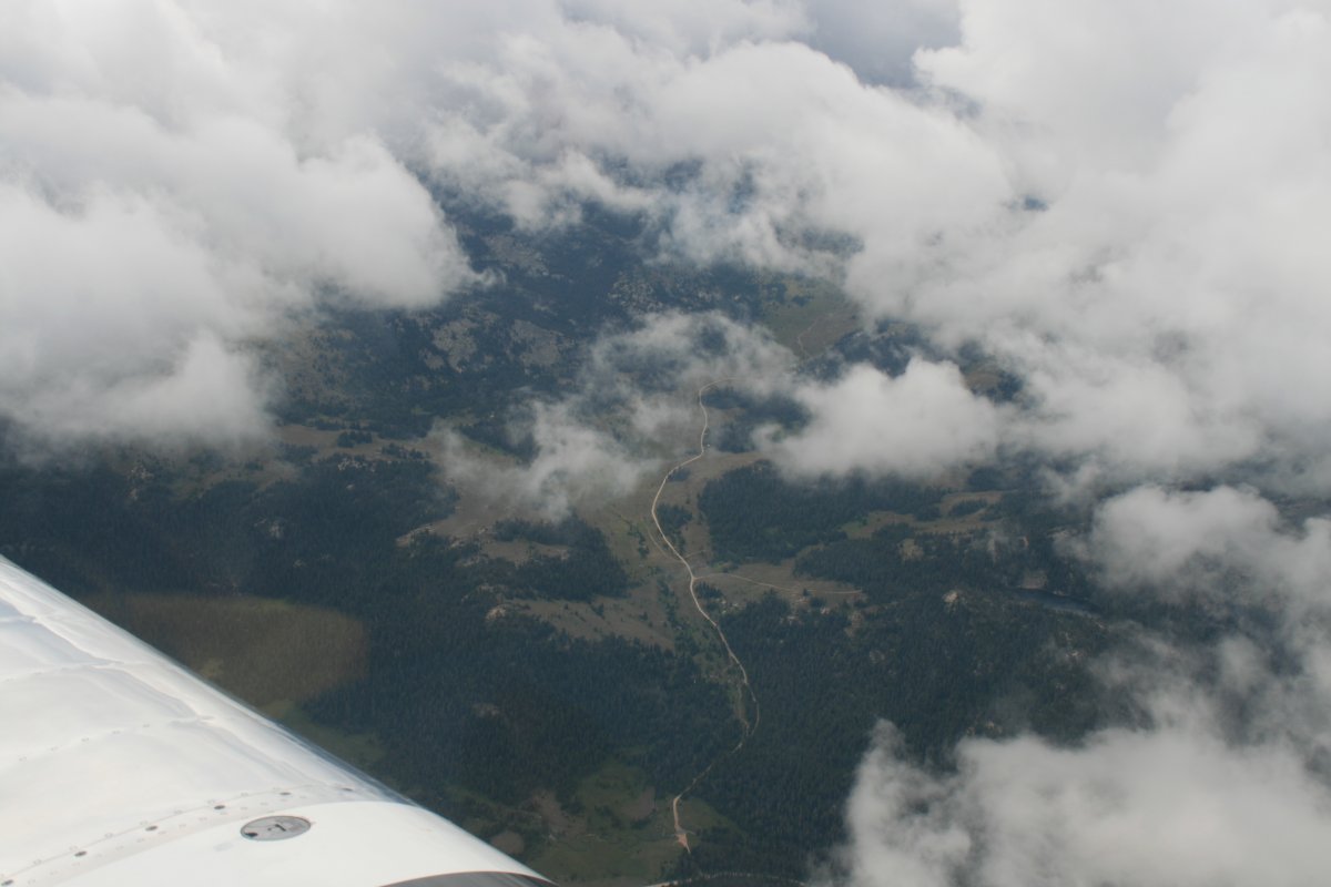
I was following this road which led to Sheridan when I started getting rained on.
|
| |
 |
|
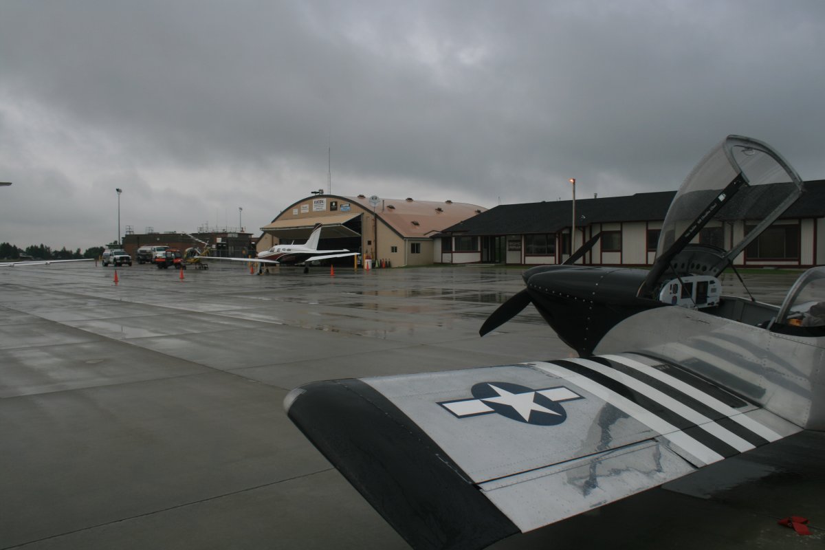
| I hadn't planned on landing at Sheridan -- was just using it as a waypoint -- but the weather was getting nasty so I just landed. In the rain. |
| |
 |
|
|
I waited around for an hour or so. Checking weather, it looked like I could backtrack east back to the clear skies then climb above the weather, and the Bighorn Mountains. I had an oxygen system with me and would need it for this next leg. I new the weather was clear in Idaho so I'd be able to get back down.
|
| |
 |
|
| The overcast broke up almost immediately after takeoff from Sheridan so I climbed up and soon was on top. I zoomed over the clouds and Bighorn Mountains at 14,500 feet, the highest I have ever been in the RV. And the first time I've used oxygen in the RV as well. |
| |
 |
|
| Once past the Bighorn Mountains, the clouds started breaking up below. My plan was working. |
| |
 |
|
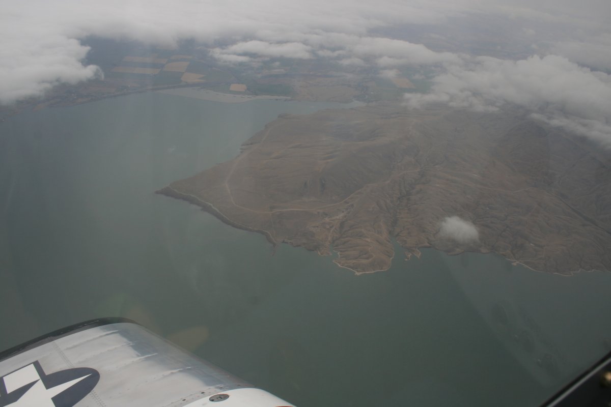
| I believe that is Buffalo Bill Reservoir down below. |
| |
 |
|
| |
|
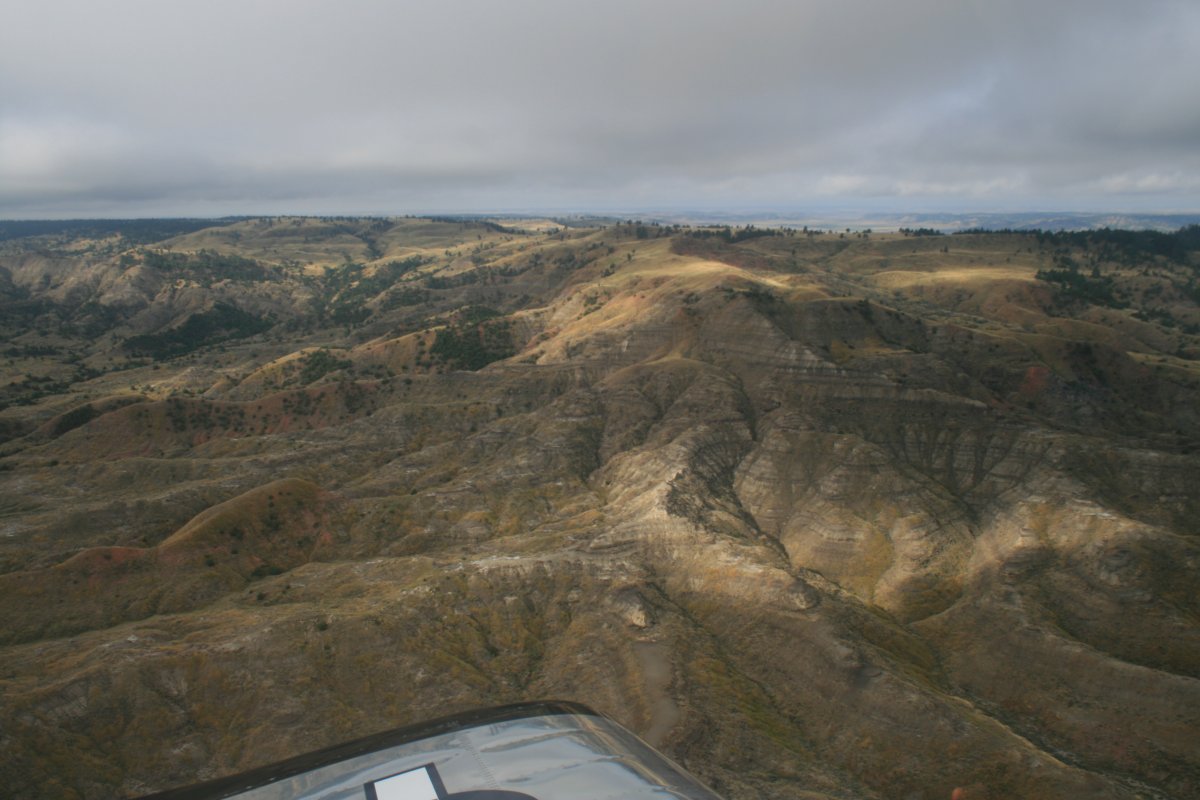
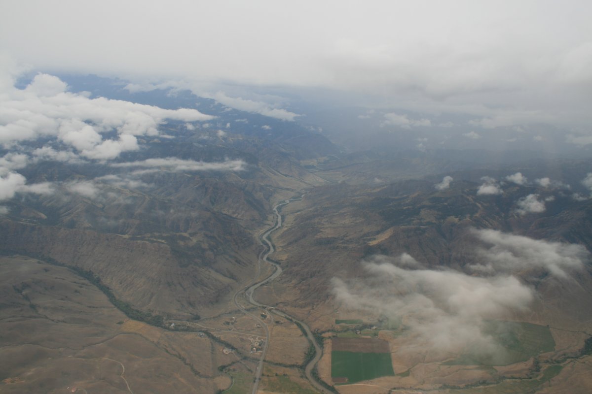
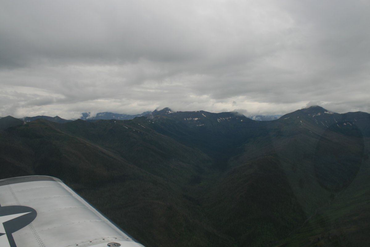
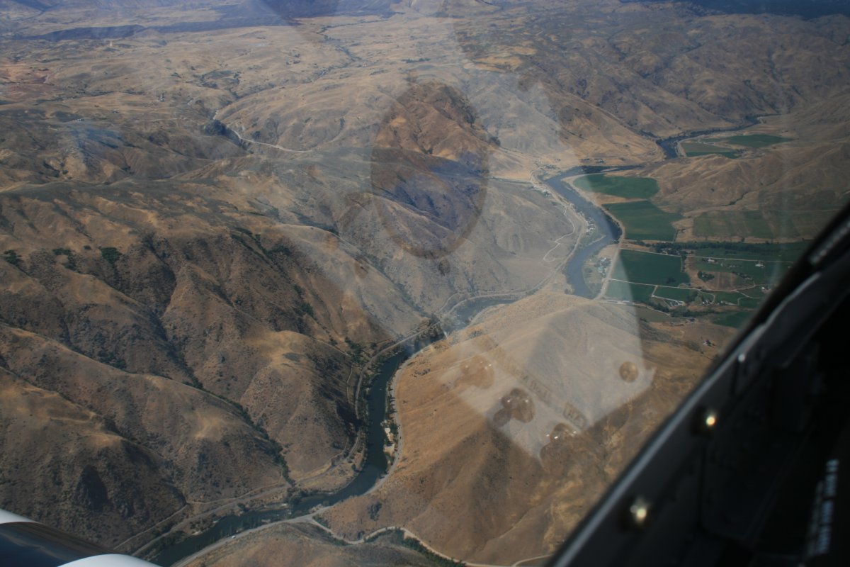
But as I approached the Absaroka Range, I encountered weather again. As high as I was, I could not go over it. I tried going under but couldn't get through -- the way was blocked by either mountains or clouds. I was resigned to backtracking and landing at an airport to wait it out, when I noticed on the chart a pass and road through the mountains to Yellowstone Lake. I figured I'd try flying through the pass. If I had to turn around, so be it, but I'd give it a try.
I'd be following the North Fork Highway alongside the Shoshone River. The highway actually leads to the east entrance to Yellowstone National Park.
|
| |
 |
|
|
Looking to the left as I flew through the pass. The pass was plenty wide and the ceiling wasn't really that low.
|
| |
 |
|
|
The pass was narrowing but I still had plenty of room to make a 180 degree turn if I had to. I knew I wasn't far from the Yellowstone Lake up ahead.
|
| |
 |
|
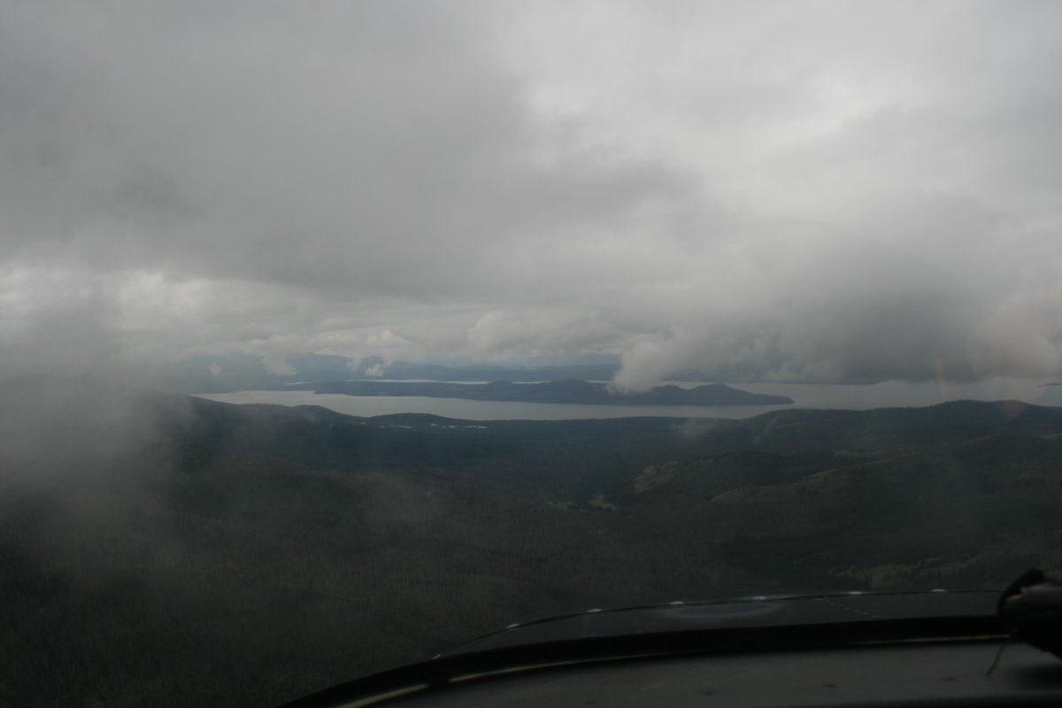
| And then there it was! With enough room between the clouds and the mountains to get through. |
| |
 |
|
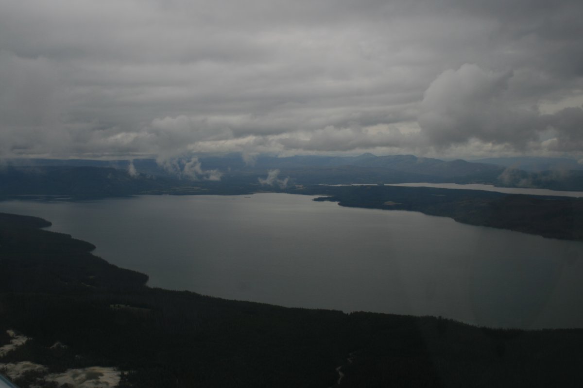
| Once over Yellowstone Lake, I knew I had it made. I'd be leaving the mountains with the Idaho flatlands ahead. |
| |
 |
|
| I'd say Yellowstone National Park is probably better seen from the ground than the air. Pretty much just trees from the air. |
| |
 |
|
|
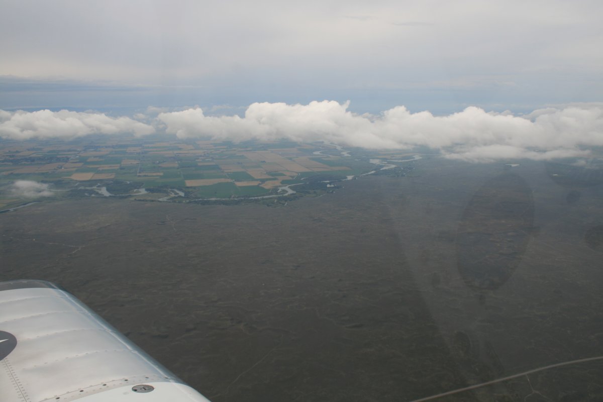
Then I was into the flatlands and civilization. I'm in Idaho looking down at Henry's Fork, a tributary of the Snake River.
|
| |
 |
|
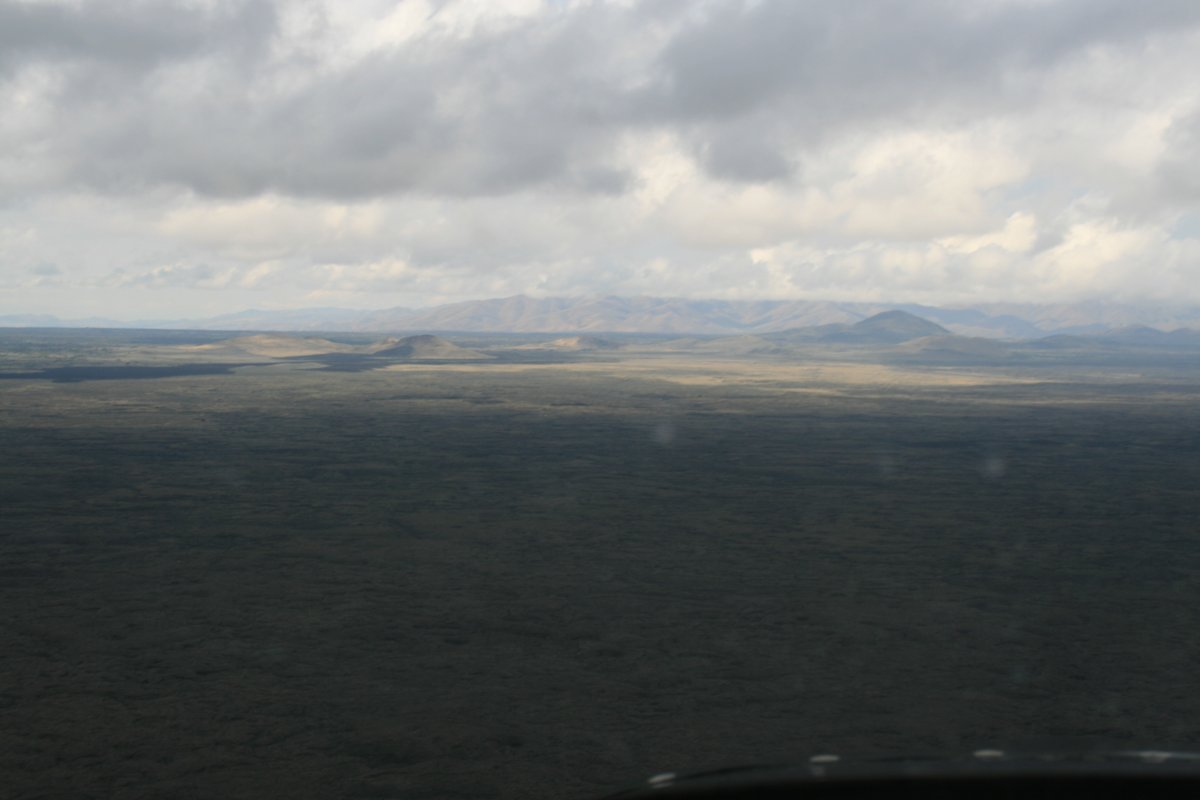
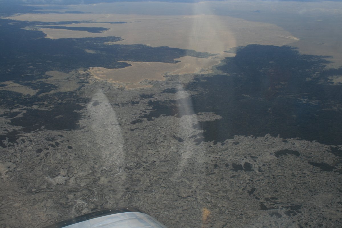
| Flying over interesting terrain, what is known as Craters of the Moon. |
| |
 |
|
|
The weather was still giving me a hard time.
|
| |
 |
|
| More moon like terrain. |
| |
 |
|
| |
| |
 |
|
| |
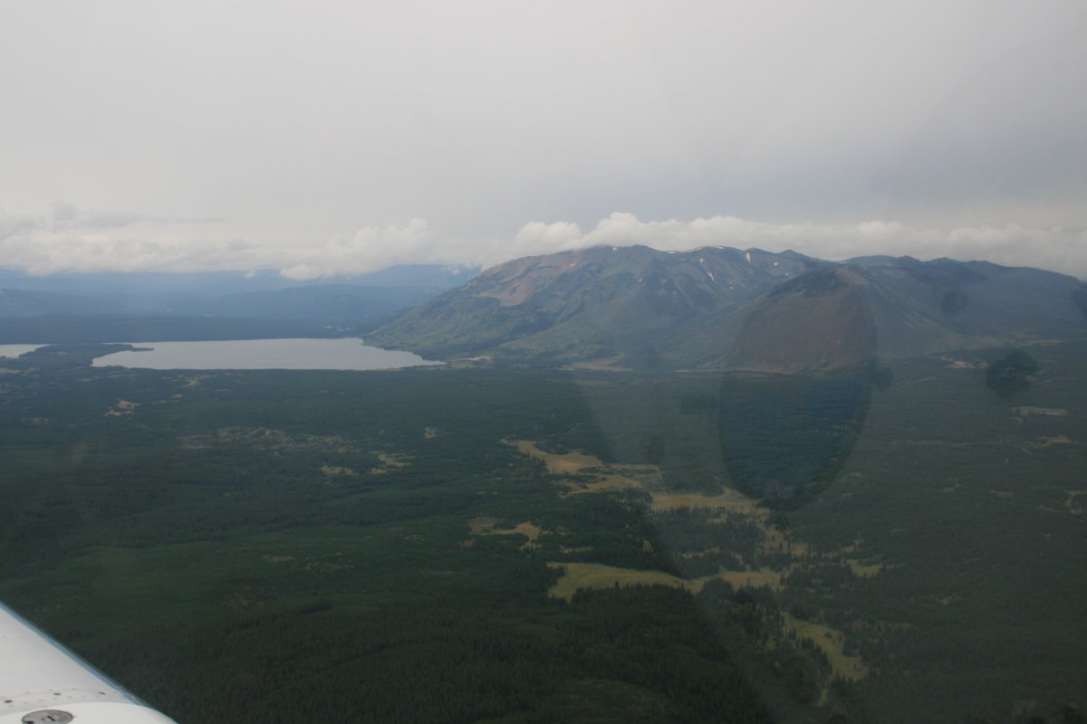
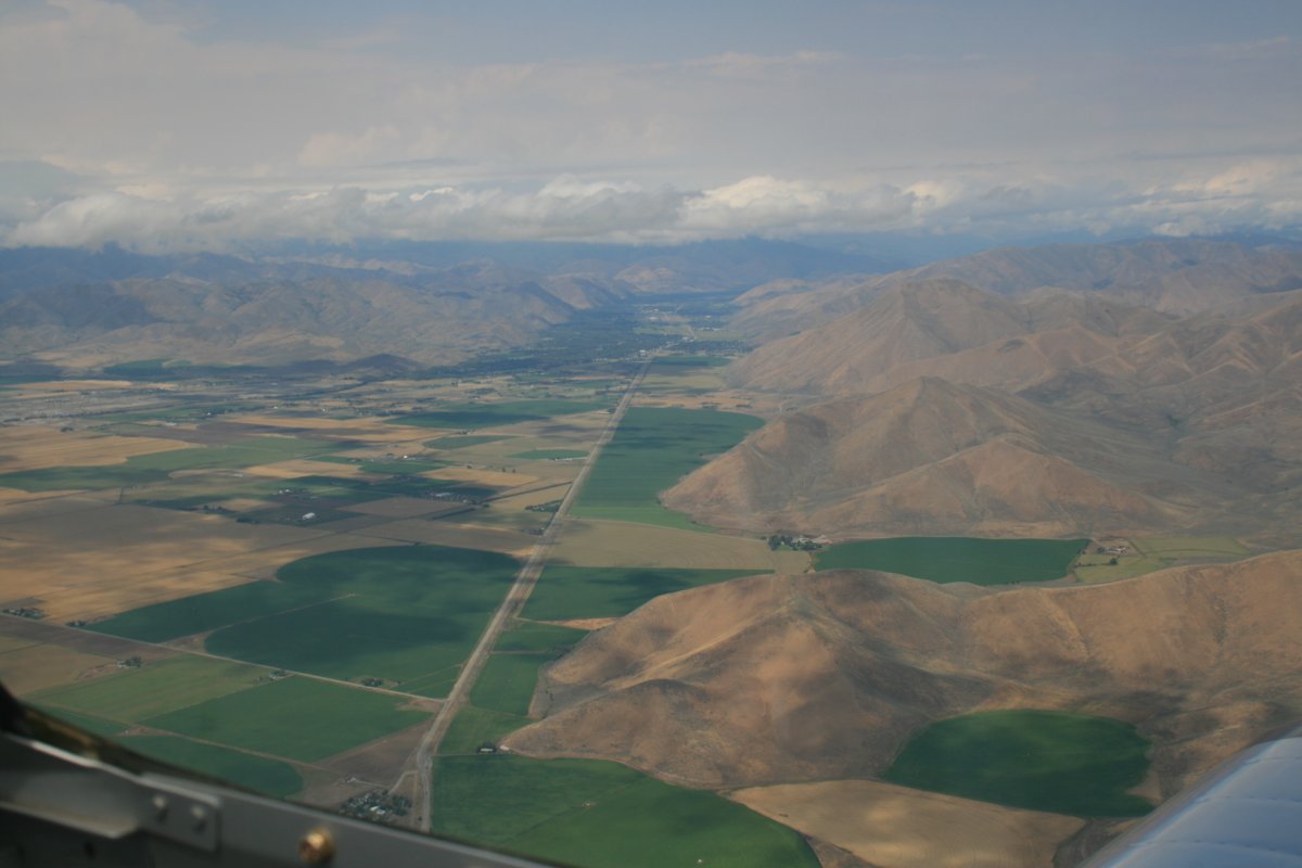
| Looking north into Sun Valley where they have an airport with a 7,500 foot runway for the private jets. |
| |
 |
|
|
I had followed the Snake River below in my old Citabria back in 2007 when I flew the Oregon Trail.
|
| |
 |
|
| |
|
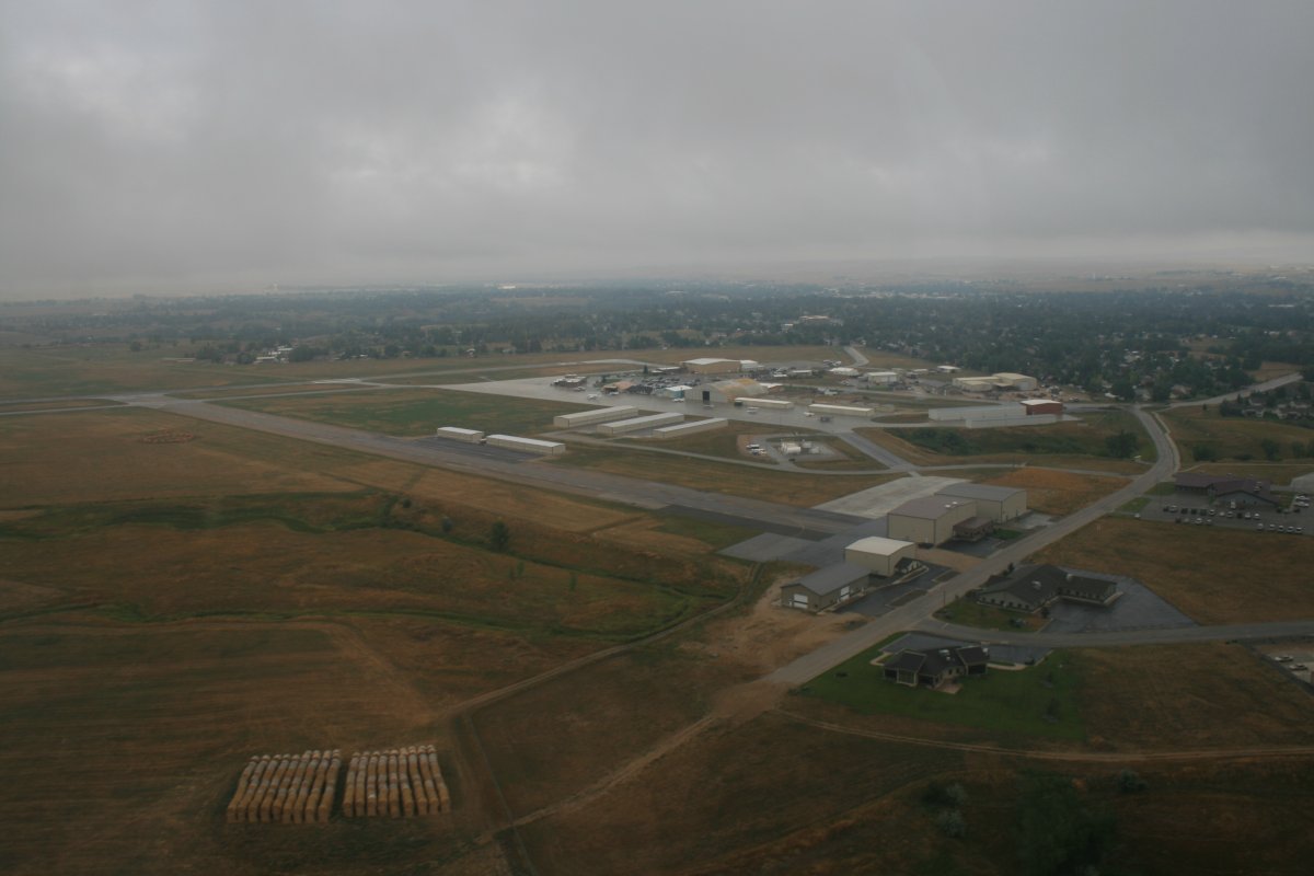
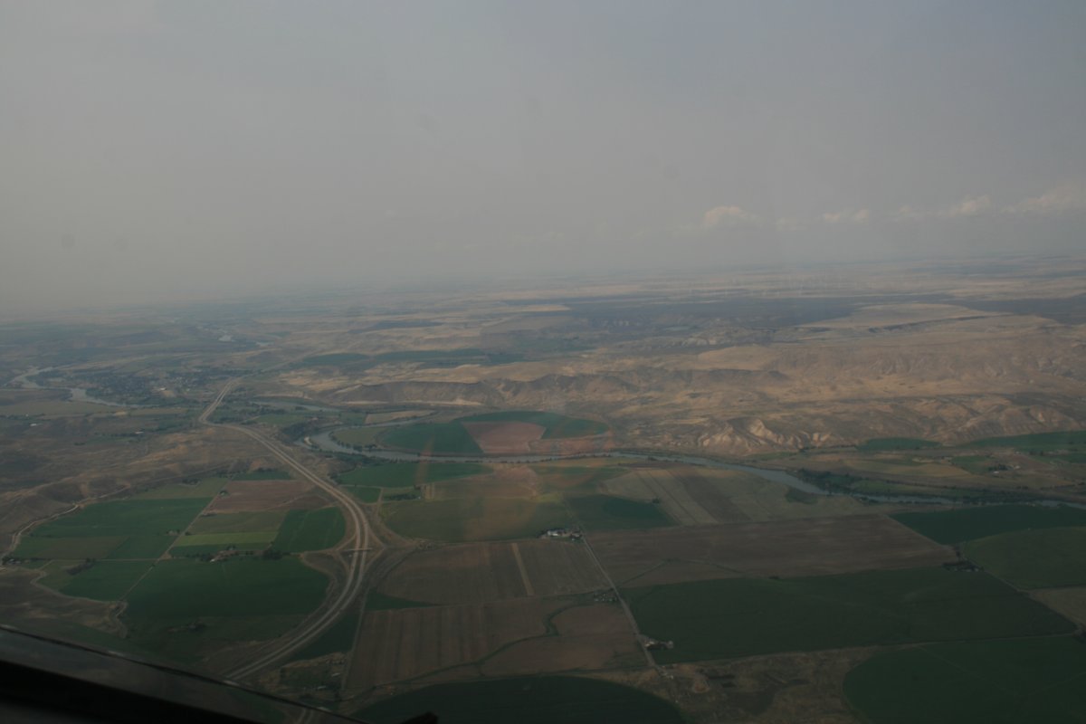
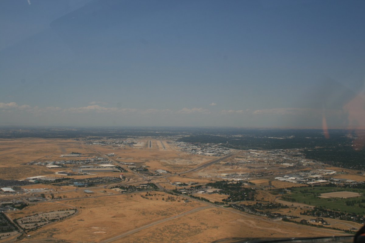
Soon I was on final for Boise International Airport, where I was stopping to pick up my Bahamas co-pilot, Captain Jack. Boise has Class C airspace so I had to talk on my radio a little bit. It took me three and a half hours to get to Boise from Sheridan.
|
| |
 |
|
|
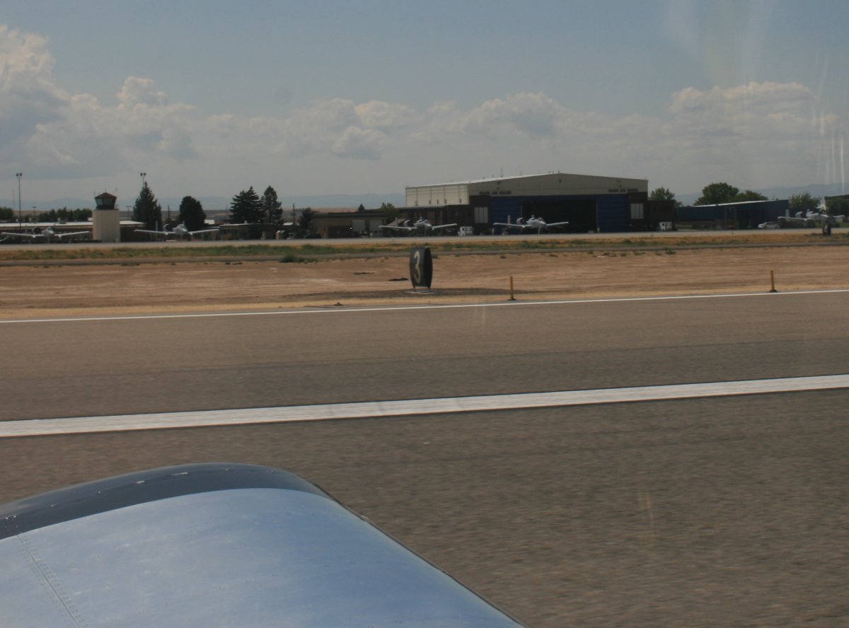
A bunch of A-10s are based here. One passed me in the air as I was coming in.
|
| |
 |
|
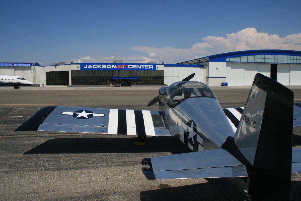
| Parked outside Jackson Jet Center which is a very upscale FBO. But they treated me the same as if I were flying a Learjet 60. I walked into the FBO right on schedule at 2PM and there was Captain Jack sitting on a richly upholstered couch. We borrowed the courtesy car and had lunch at Appleby's. |
| |
 |
|
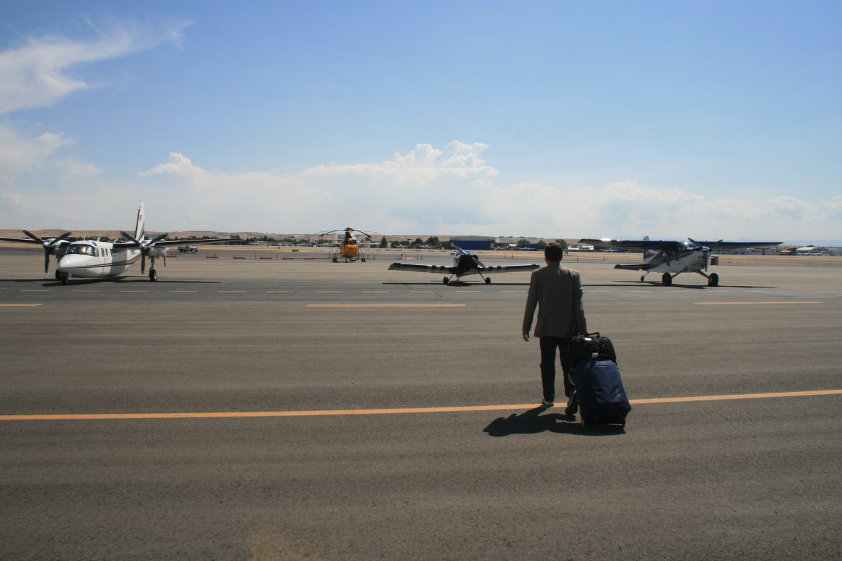
| My passenger Captain Jack walking out to board the aircraft. |
| |
 |
|
|
Our final destination, Coski Airport, was 80 statue miles due north as the crow flies from Boise. Weather looked good for a change.
I had made the trip in a car, so it was interesting to see it from the air. Plus quite a bit faster! We basically followed the Payette River all the way.
|
| |
 |
|
|
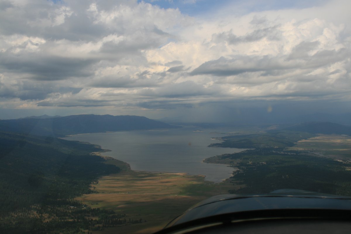
Approaching Cascade Lake. Coski Airport is on the north end of the Lake. We could see weather ahead both on the XM Satellite Weather and with our Mark I eyeballs, but fortunately the weather was just north of the field and we were able to make it in.
|
| |
 |
|
| Safe on deck at Donald D. Coski Memorial Airport (U84). Coski is a 2,500 grass strip -- well, hard sand and scrub grass might be a better description -- and has an elevation of 4,860 feet. |
| |
 |
|
|
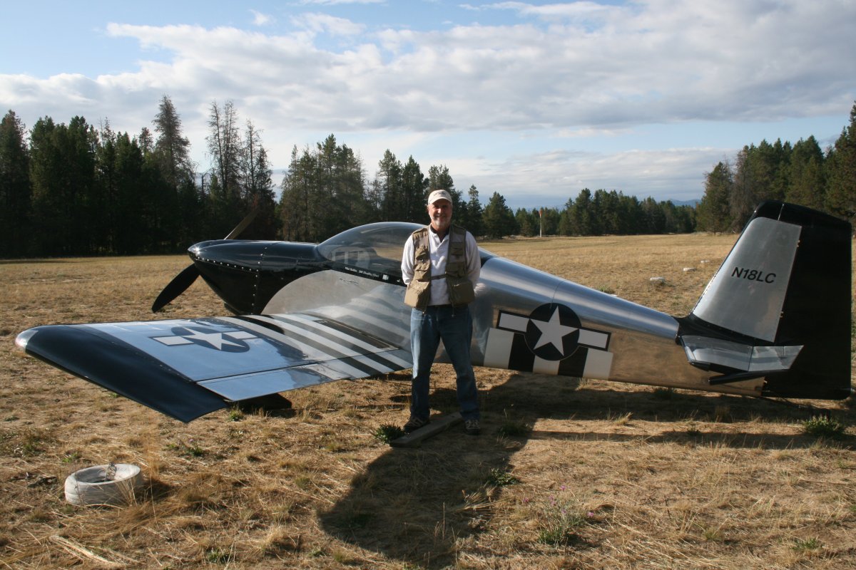
Captain Jack happy to be flying in the RV again.
Jack and I would be spending the next three days with three other high school buddies in nearby Tamarack.
|
| |
 |
|
| |
|
|
|
|
|
|