Day 1 - Essex Skypark, MD to Belle Fourche, SD
|
|
The adventure begins. My destination for today was ambitious: Belle Fourche Municipal Airport (KEFC) on the western edge of South Dakota. That's 1,450 statute miles from Essex Skypark. I got up early Thursday morning and was at the airport by daybreak. I needn't have bothered. The weather was not good. Low overcast. But it was clear to the west so I gave it a try. I ran into IMC (instrument meteorological conditions) shortly on the west side of Baltimore and had to return to Essex Skypark. I put the delay to good use, sleeping on the couch in the FBO building for an hour. The skies had cleared noticeably on my second try. The skies cleared up by the time I reached Frederick.
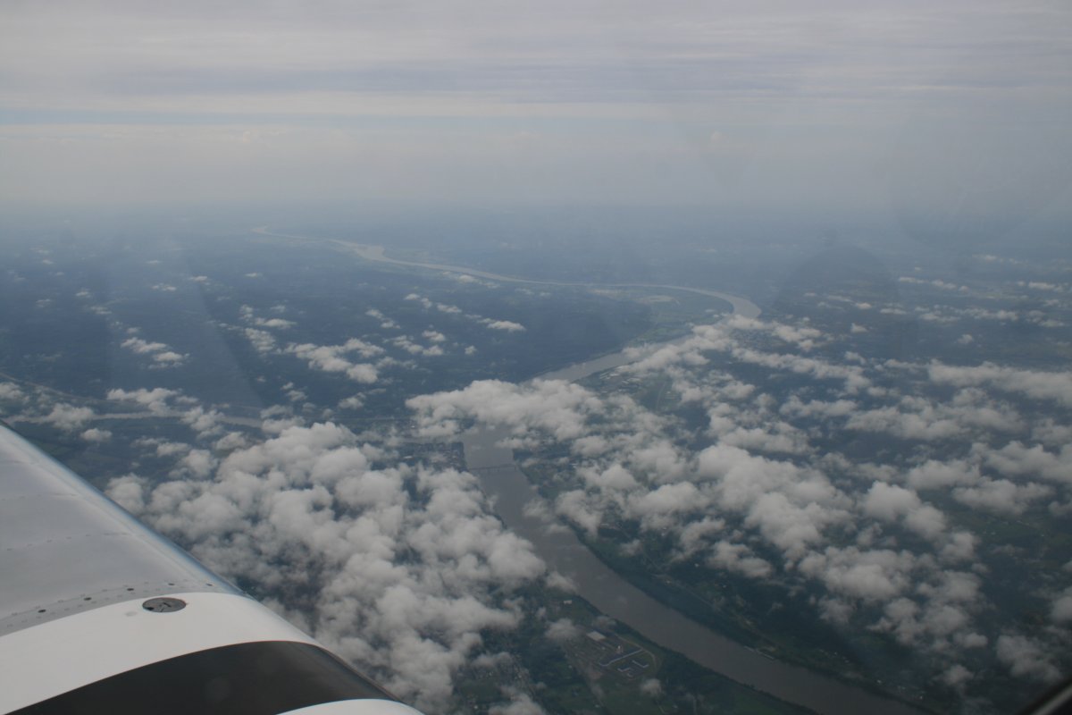
But still, I flew through typical crummy east coast weather for hours. Here I'm crossing the Ohio River.
|
| |
 |
|
|
The XM Satellite on-board weather paid off big time today. I could see there was a big line of thunderstorms stretching from Chicago to northern Kentucky. The great circle flight path to western South Dakota went through Chicago, but I had to change my course to northern Kentucky to get around the thunderstorms. I headed for one of my favorite cross country stops: Cynthiana Airport (0I8). But the weather beat me to it. So I had to go a further 23 miles further south to Mount Sterling - Montgomery County Airport (KIOB) for a fuel stop. I had been flying for almost three hours. While I fueled, I could hear thunder to the north. Soon I was back in the air, on my way.
|
| |
 |
|
|
I scooted to the north of the Lexington, Kentucky airspace and then the storms were behind me. It was clear sailing the rest of the way to South Dakota.
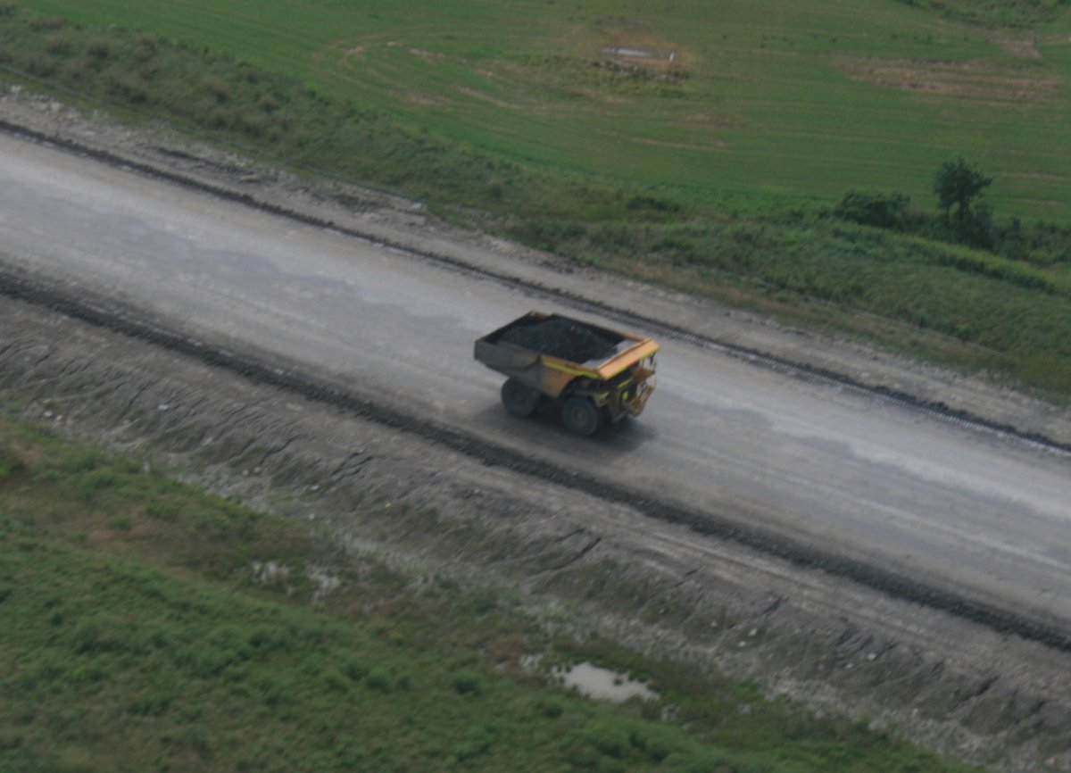
My grandson loves big trucks so I took a picture of this monster dump truck for him.
|
| |
 |
|
|
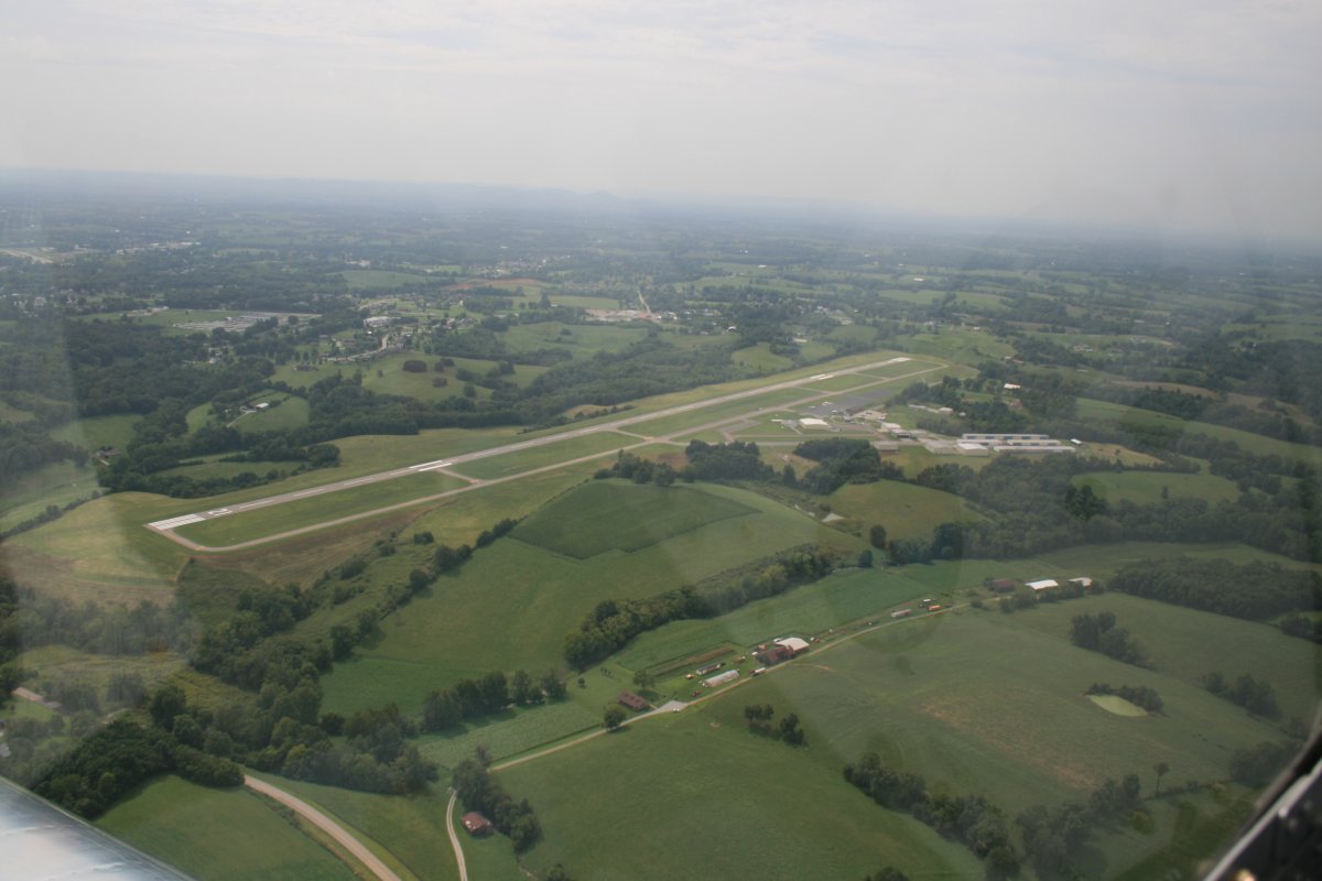
I flew on for another two and a half hours and then stopped at Pittsfield Penstone Municipal Airport (KPPQ) in Illinois for fuel and to stretch my legs.
|
| |
 |
|
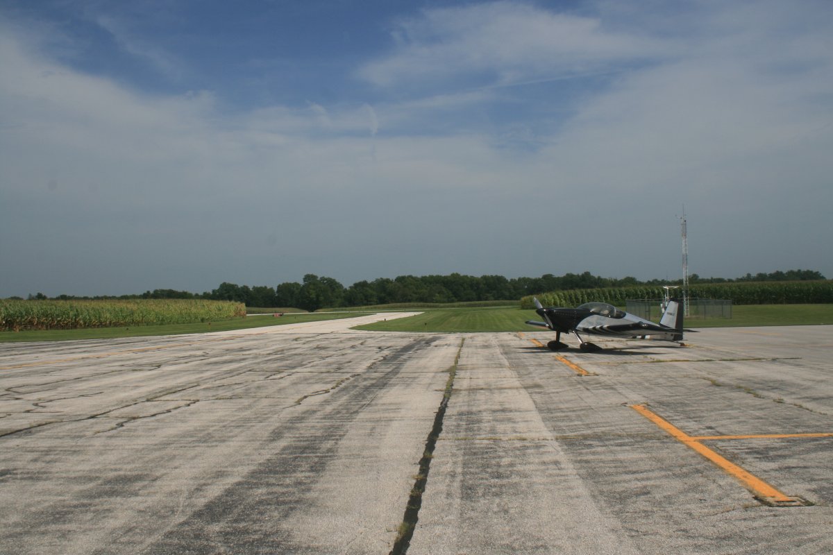
| There wasn't much to this airport except for the self-service fuel, although a guy mowing the lawn did ask me if I needed anything. |
| |
 |
|
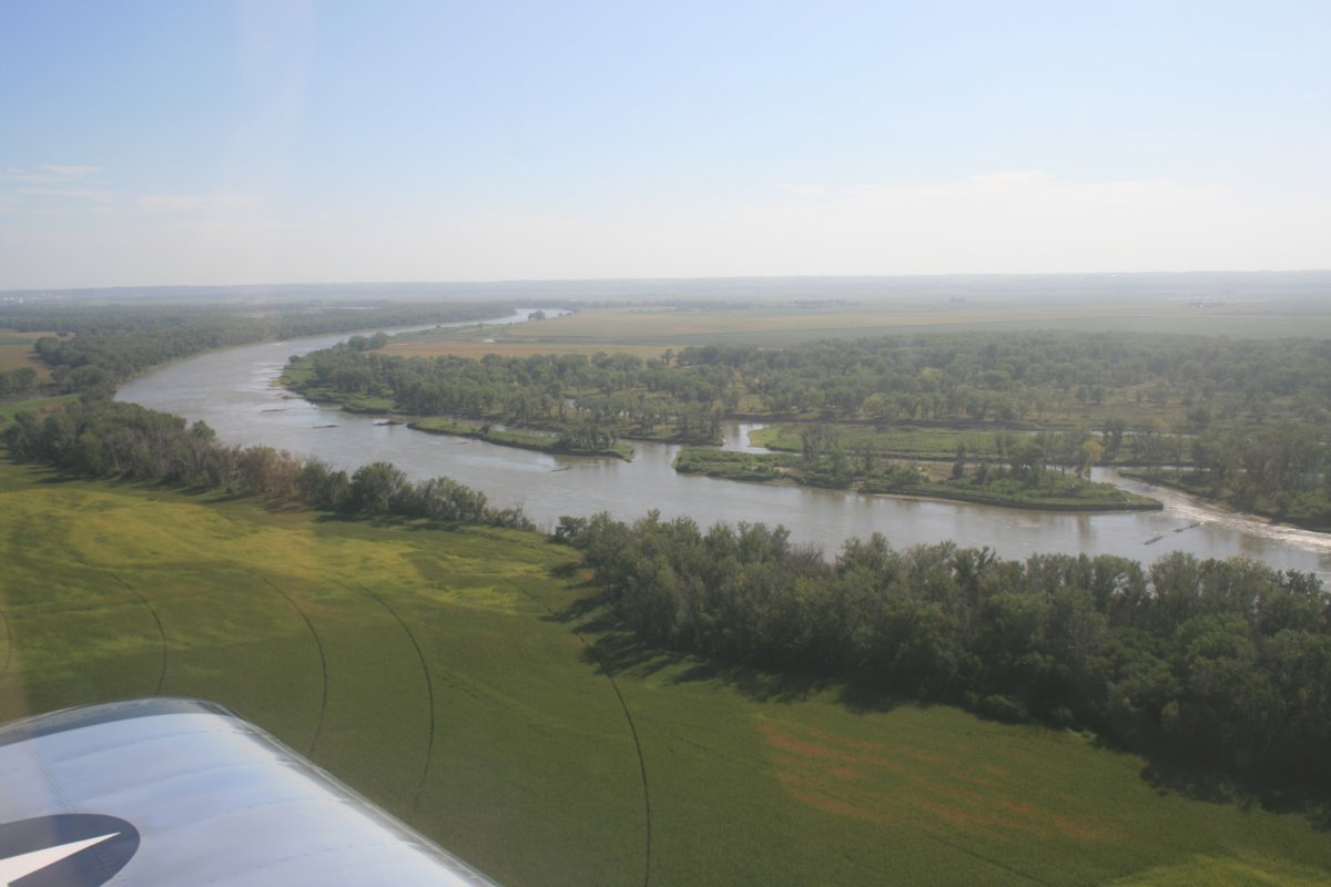
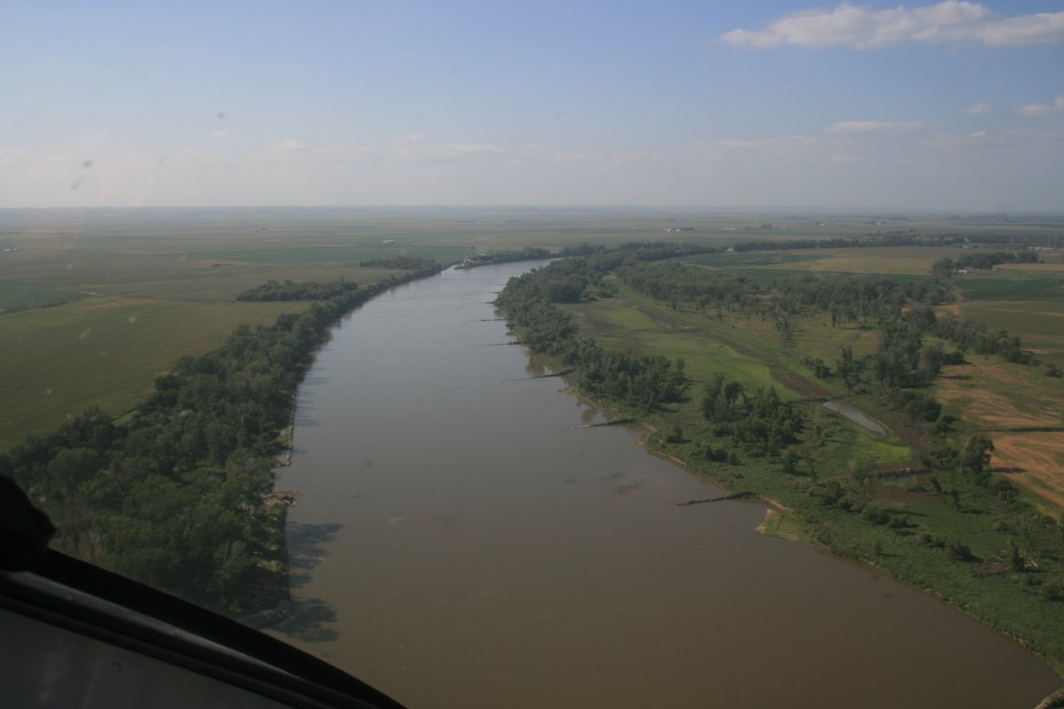
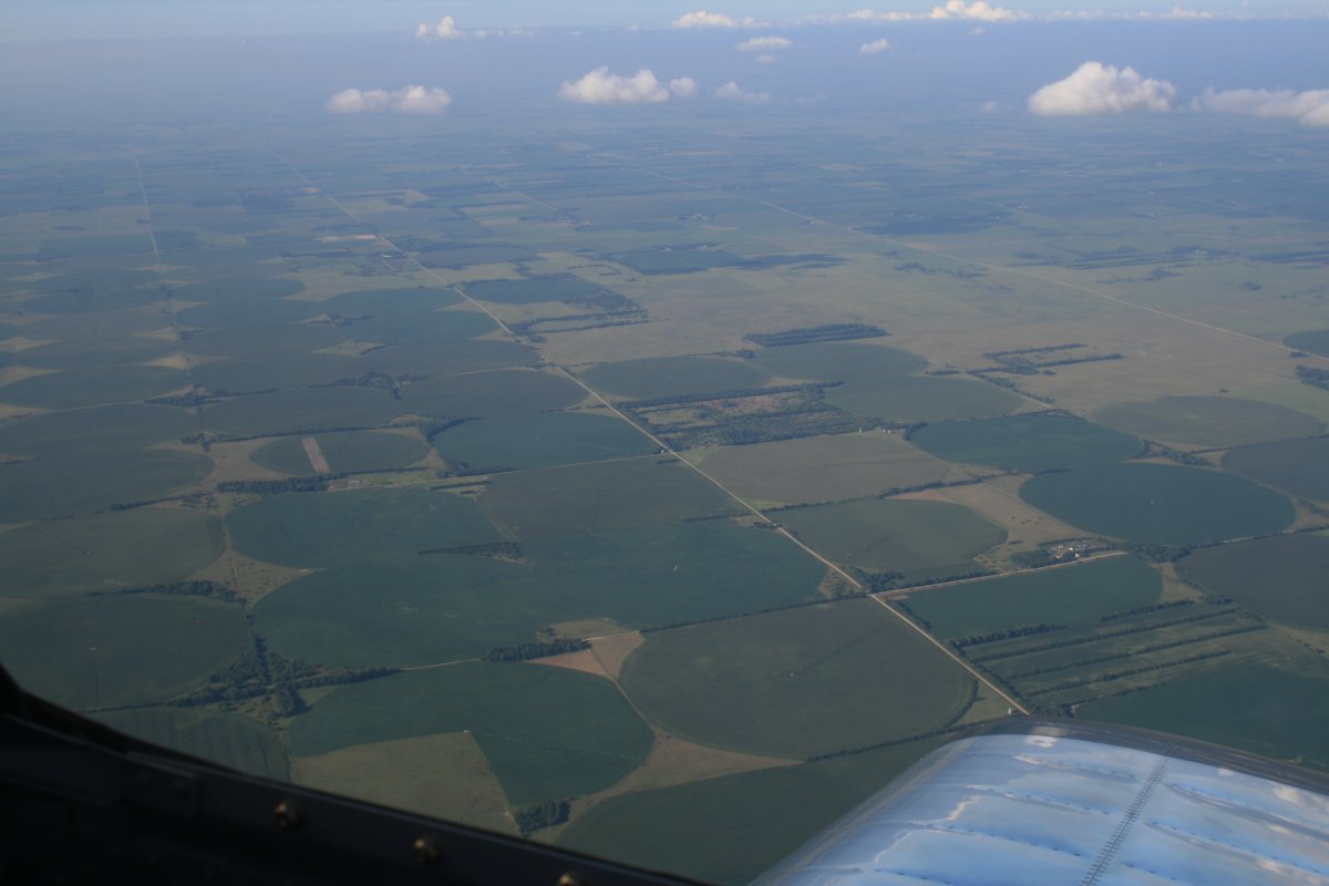
| Approaching my old friend the Missouri River. I flew it four years ago: Link. |
| |
 |
|
| I flew up the Missouri for a few minutes just for old times sake. Then I turned northwest and continued on. |
| |
 |
|
|
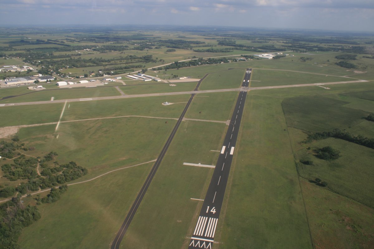
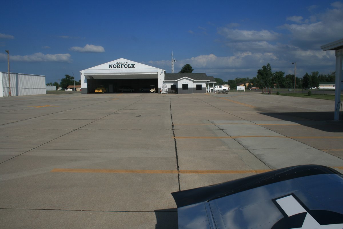
After almost two and a half hours, I'm overhead Norfolk Regional Airport (KOFK) in eastern Nebraska.
|
| |
 |
|
| They have an on-field restaurant here but I didn't have time to stop and eat. Even with two extra hours due to time zone changes, I had just enough daylight to make it to Belle Fourche, South Dakota with a half-hour left over. I just gassed up and then it was back into the air. |
| |
 |
|
|
They don't call them Cornhuskers for nothing.
|
| |
 |
|
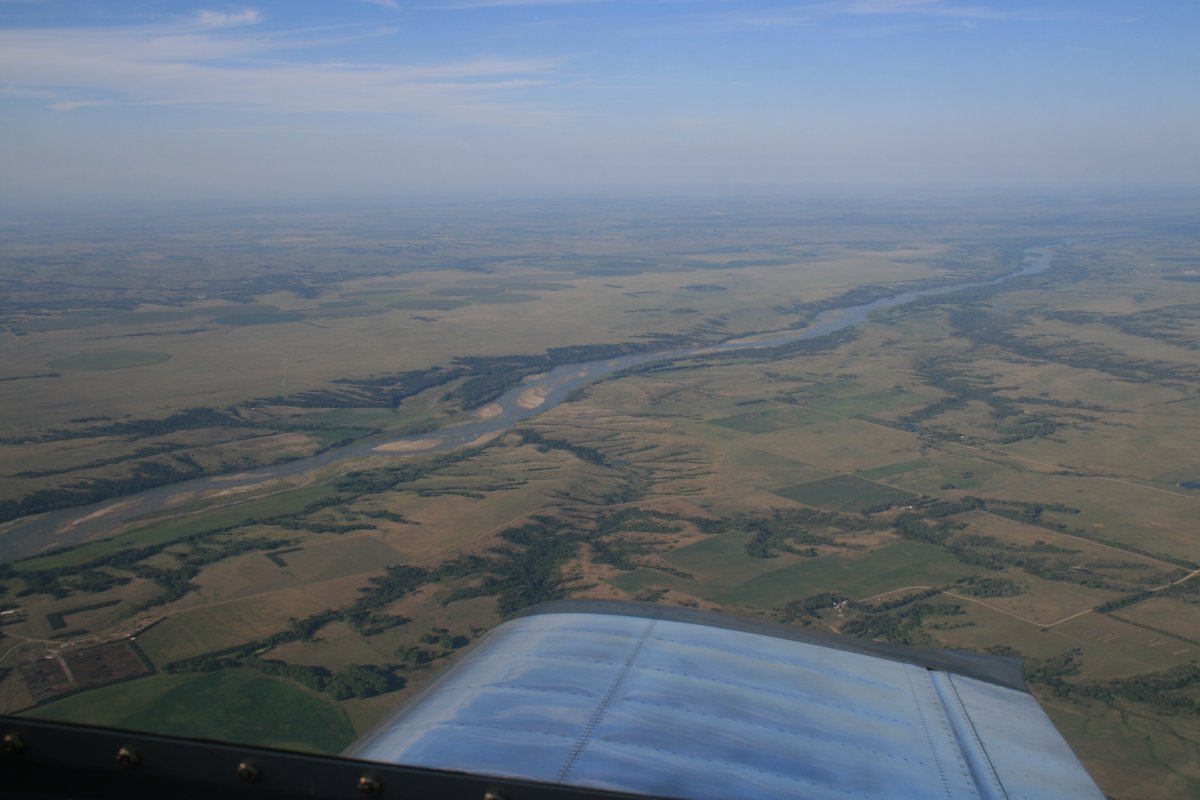
| The Niobrara River cuts through the Nebraska country. |
| |
 |
|
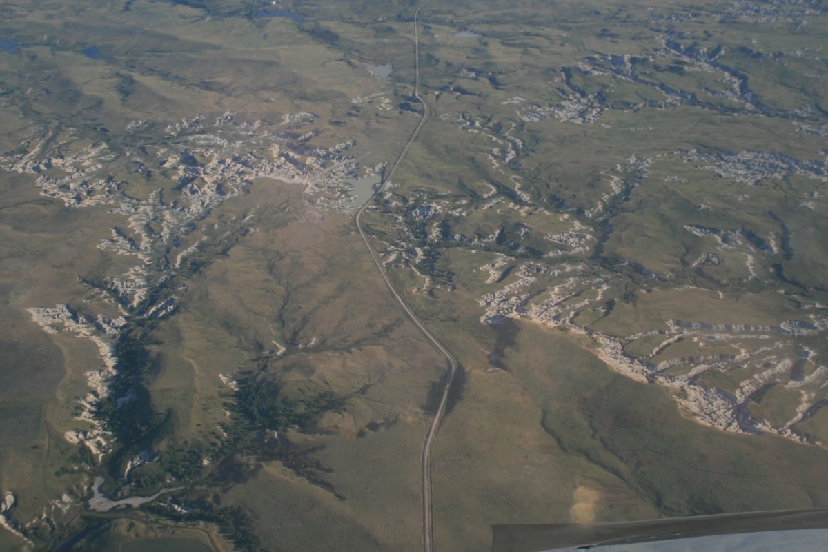
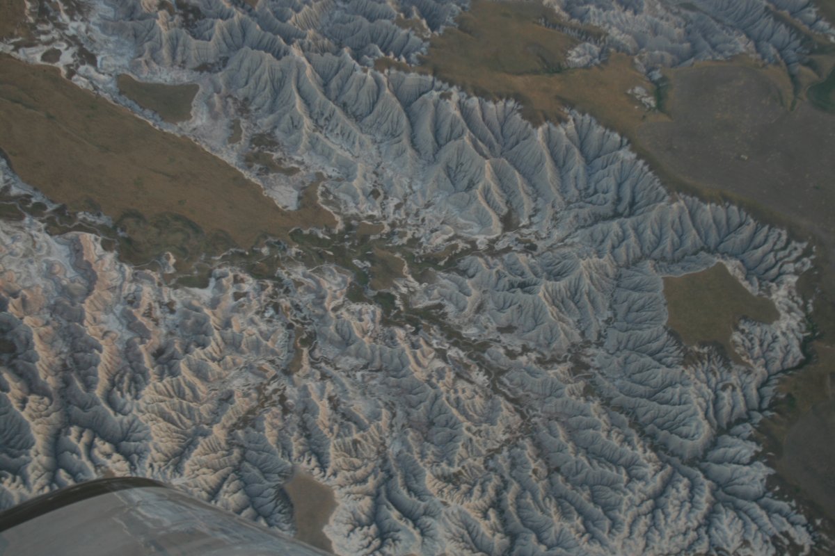
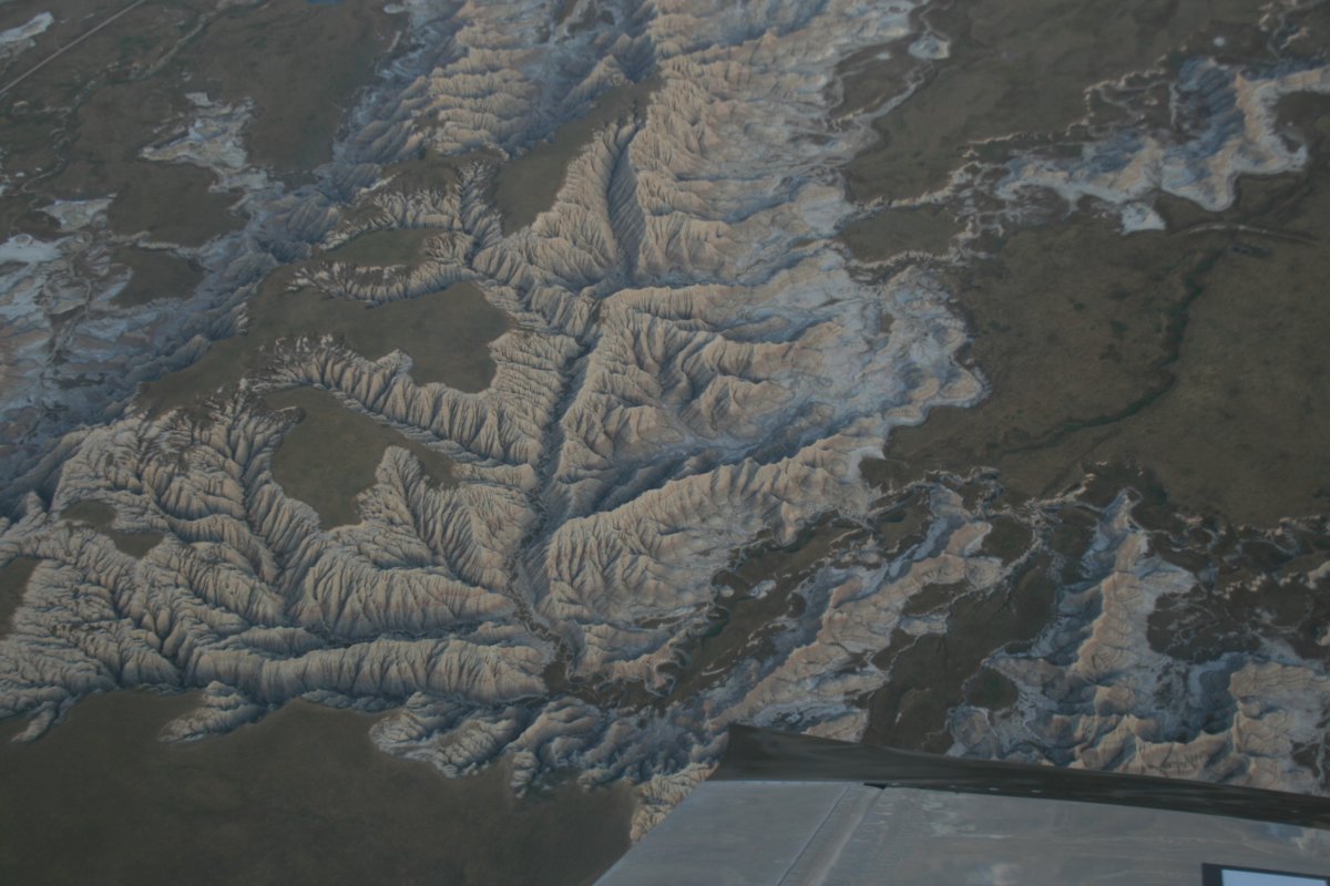
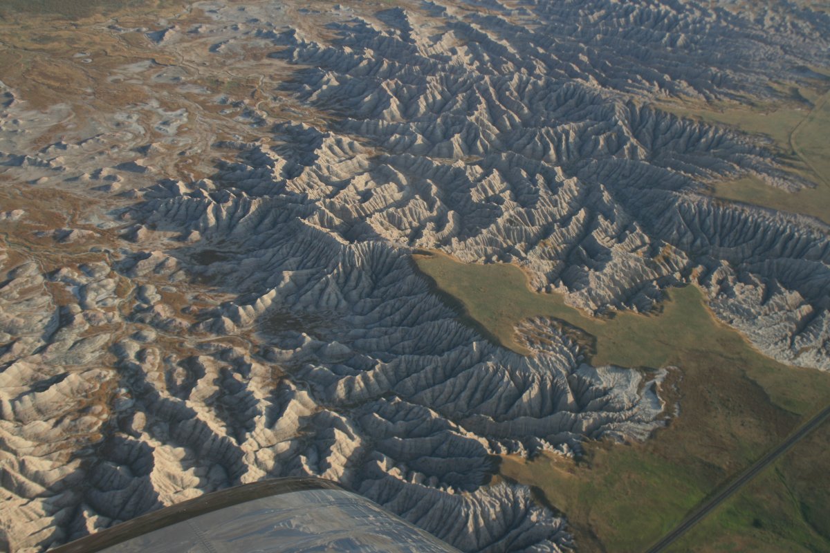
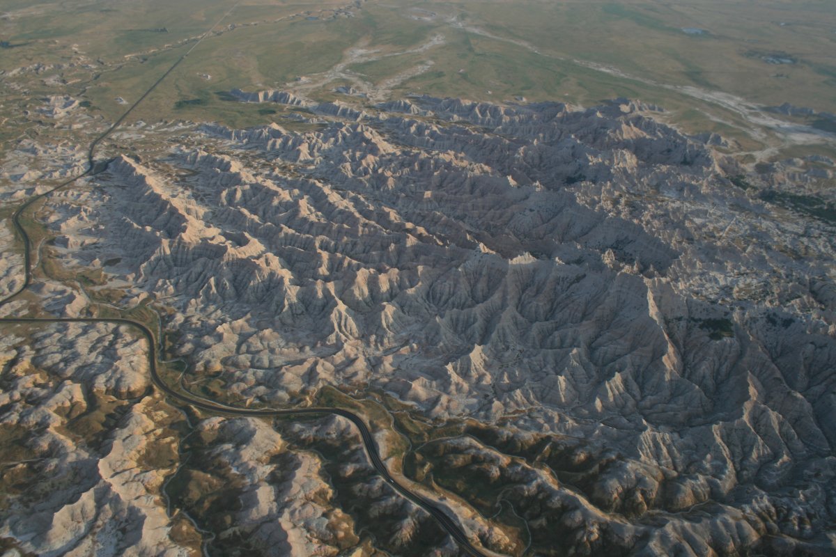
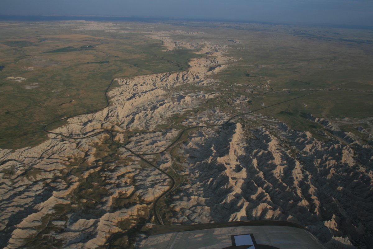
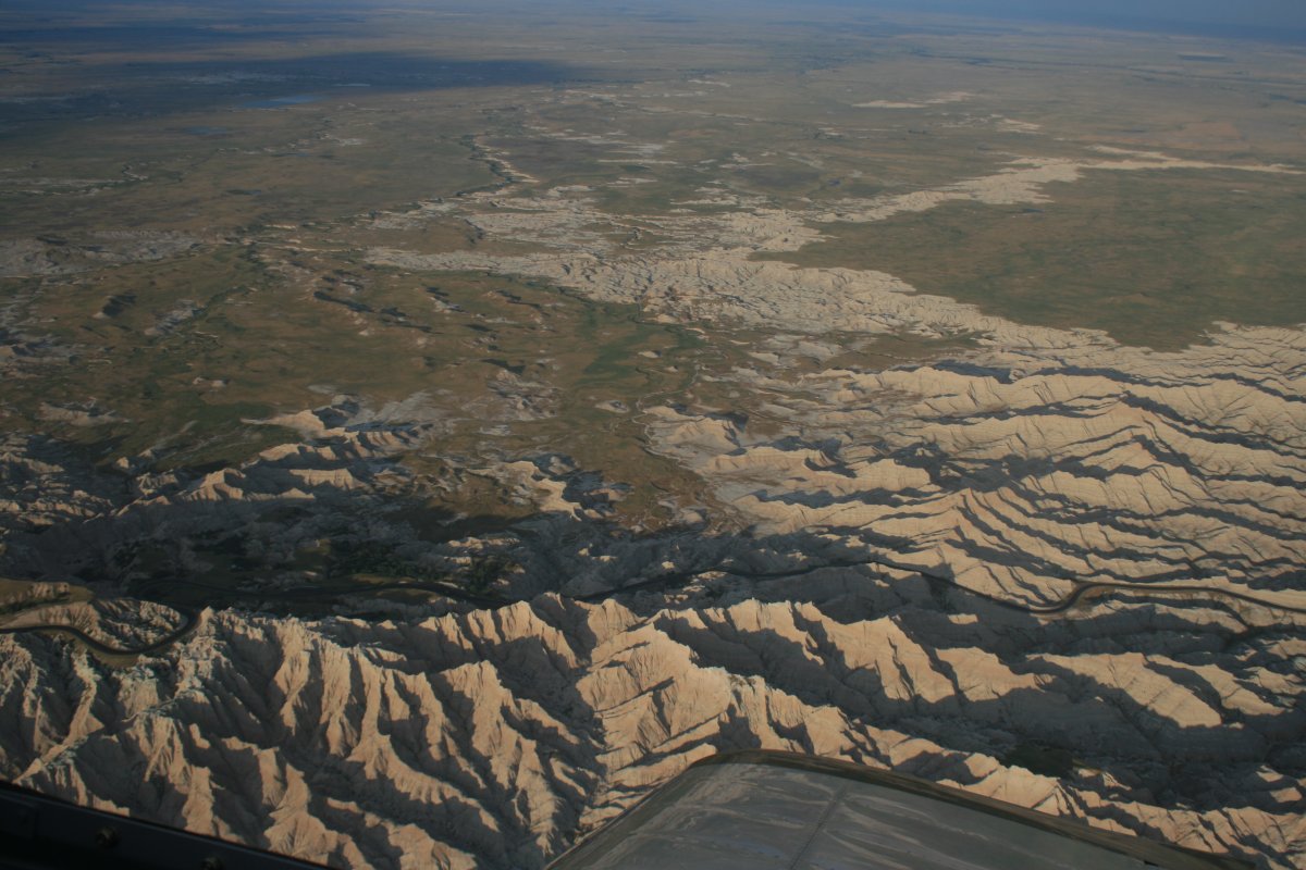
| My route took me over the Badland country. |
| |
 |
|
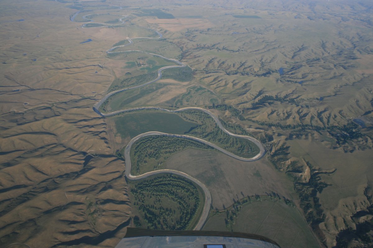
| A sidewinder river. |
| |
 |
|
|
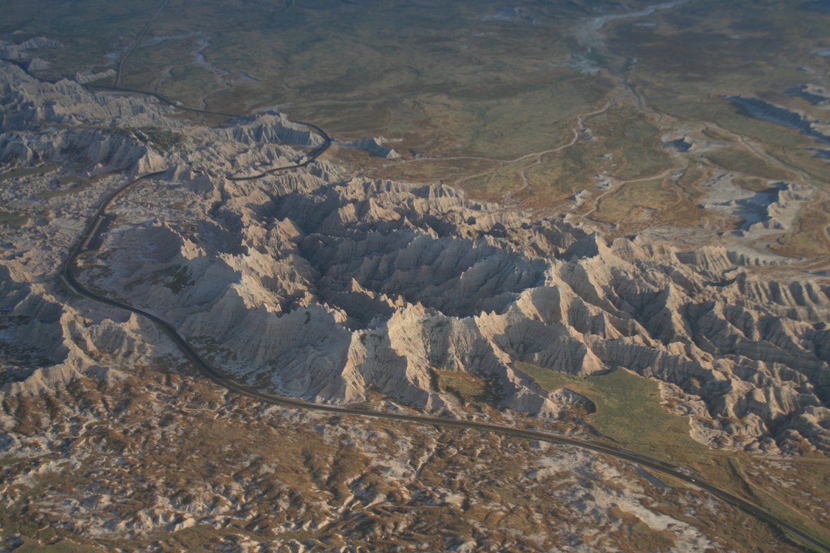
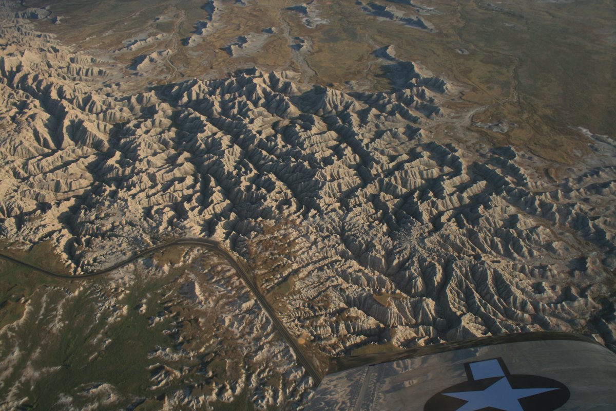
Over the Badlands National Park.
|
| |
 |
|
| |
| |
 |
|
|
This is a National Park that looks good both from the air and the ground.
|
| |
 |
|
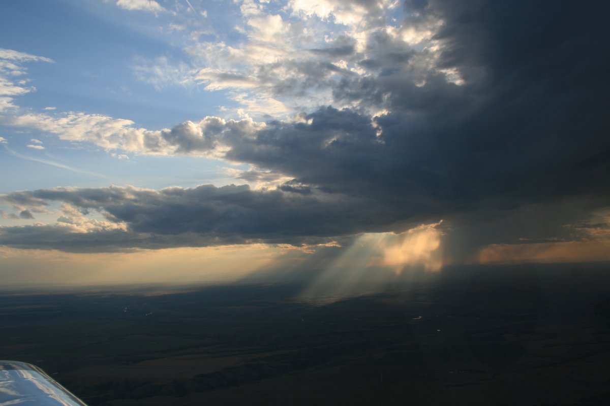
| The sun was getting low in the west and really lit things up. |
| |
 |
|
| |
| |
 |
|
| |
| |
| |
 |
|
|
|
| |
 |
|
|
|
| |
 |
|
| |
| |
 |
|
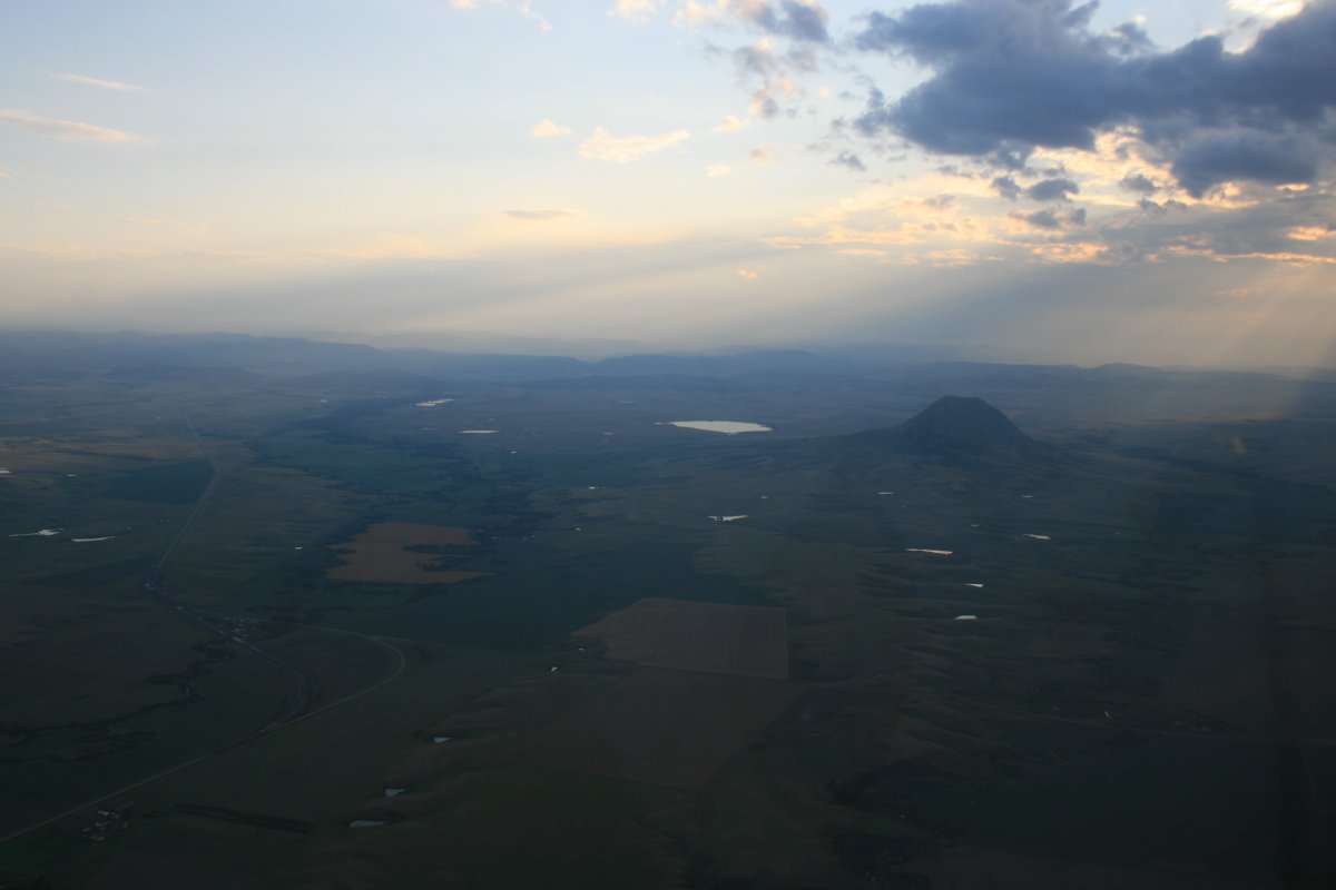
| Just north of Sturgis, South Dakota -- famous for the annual big Harley Davidson gathering. |
| |
 |
|
| |
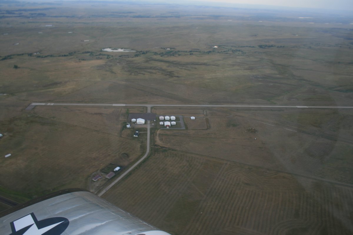
| On downwind at Belle Fourche Municipal Airport. It took just over two hours to get here from Norfolk, Nebraska. I flew ten hours today. |
| |
 |
|
|
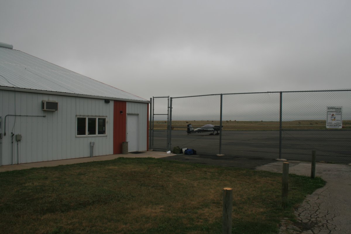
Safe on deck. Jim, the airport manager, helped me fuel up and gave me the keys to the courtesy car. Despite the morning weather delay, I had managed to make my goal for the day. I drove into town, had a nice dinner and stayed in a cheap motel. It had been a long day.
|
| |
 |
|
| |
| |
|
|
|
|
|
|