July 6, 2019 - Flight West - Day Eleven Part I
|
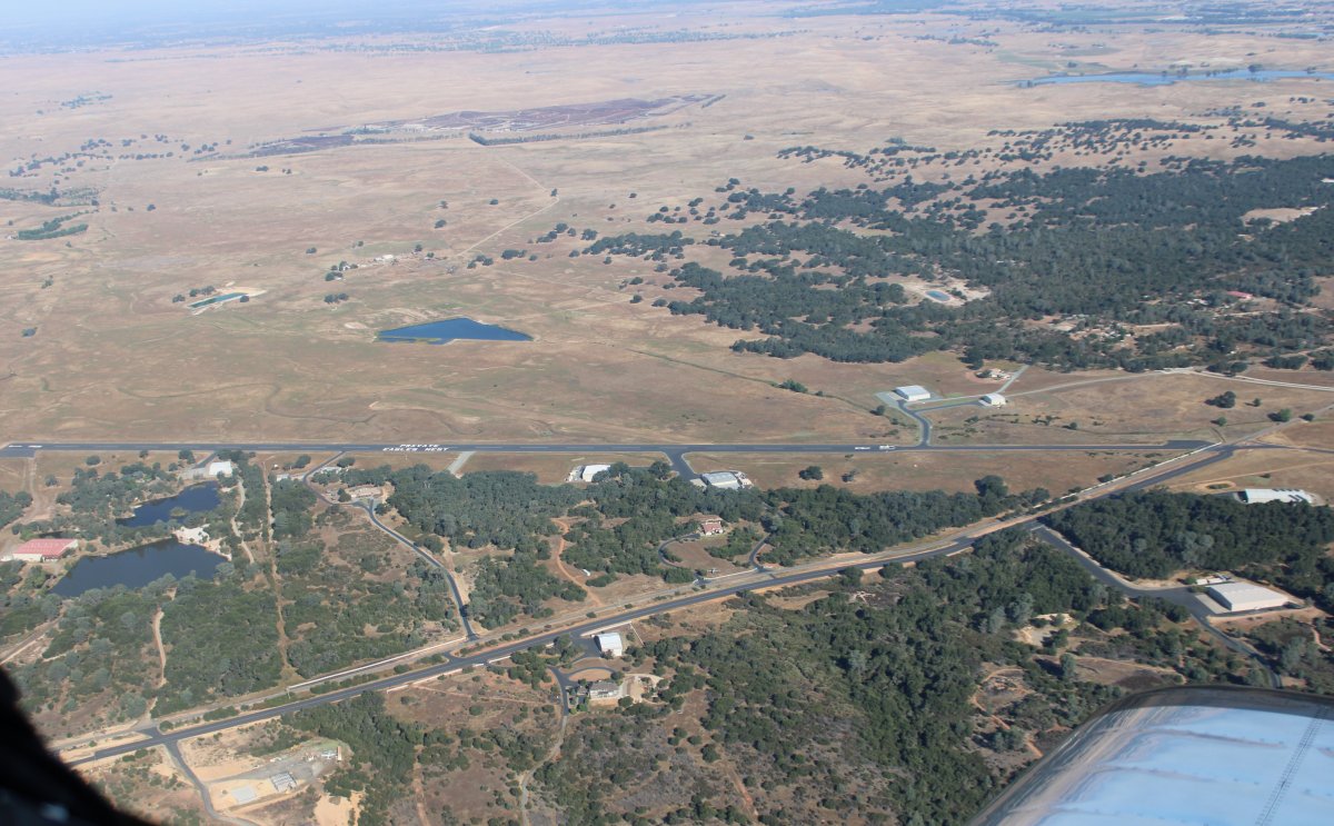
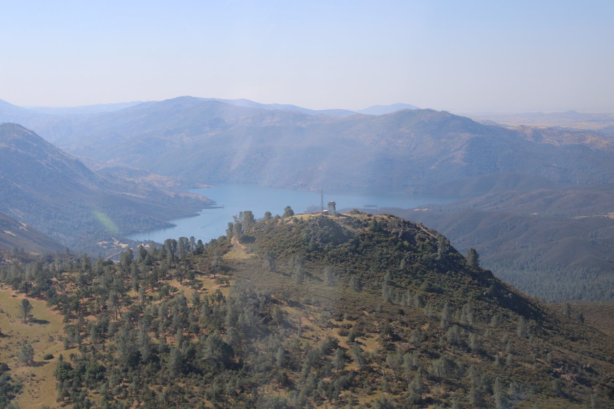
| Thanks to the great California weather, I got an early start out of Cameron Park and was soon winging my way south. Here I'm passing Eagles Nest which is private and an airport community. I must say Eagles Nest and Cameron Park are central to some great flying areas: the coast, the mountains, San Francisco Bay Area, Yosemite, you name it, whatever your flying preference, they have it all. |
| |
 |
|
|
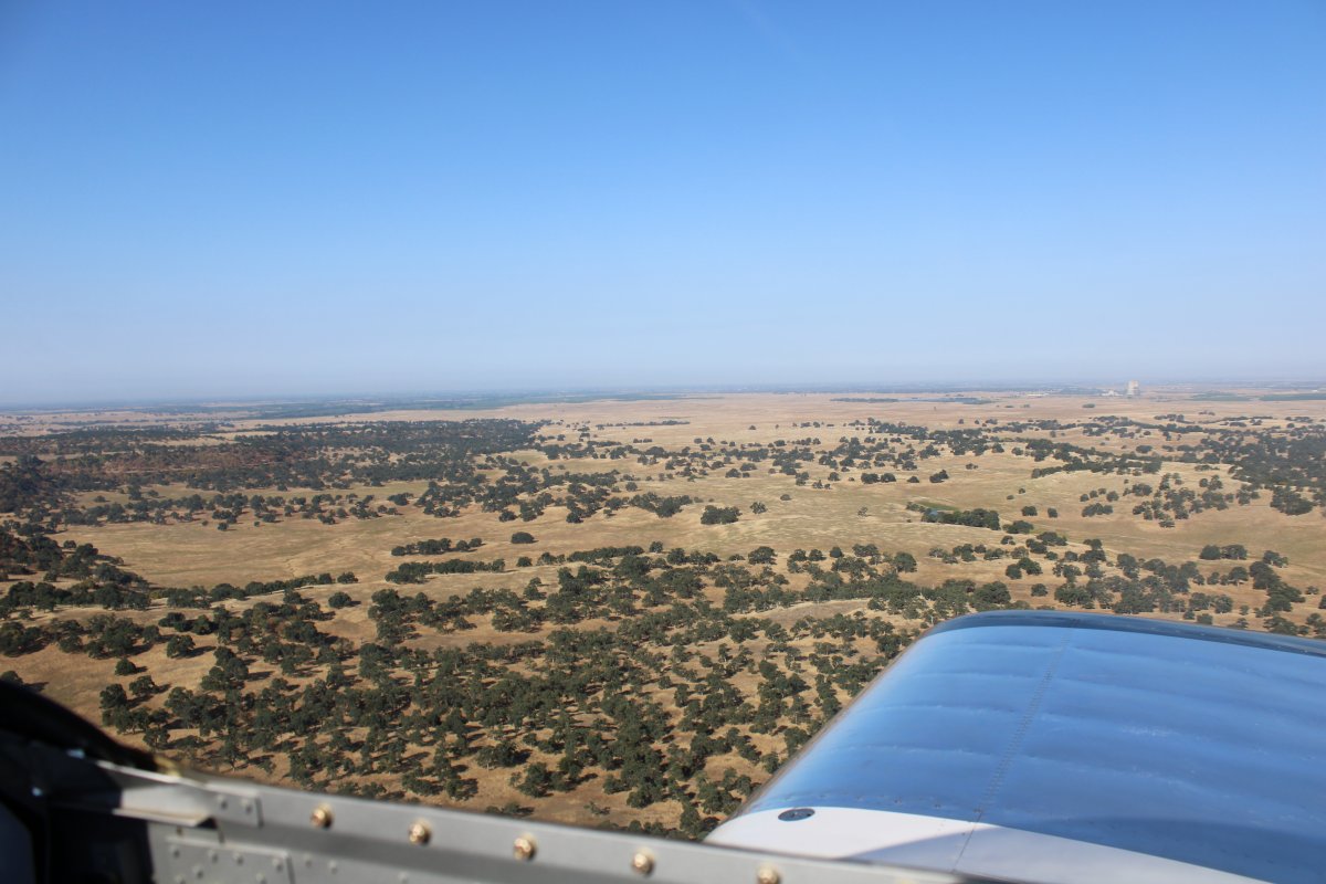
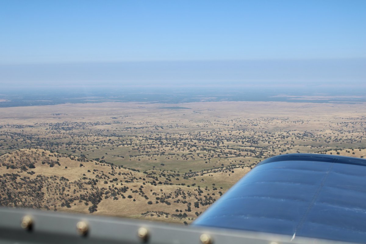
Including lots of places to fly low if you want to.
|
| |
 |
|
|
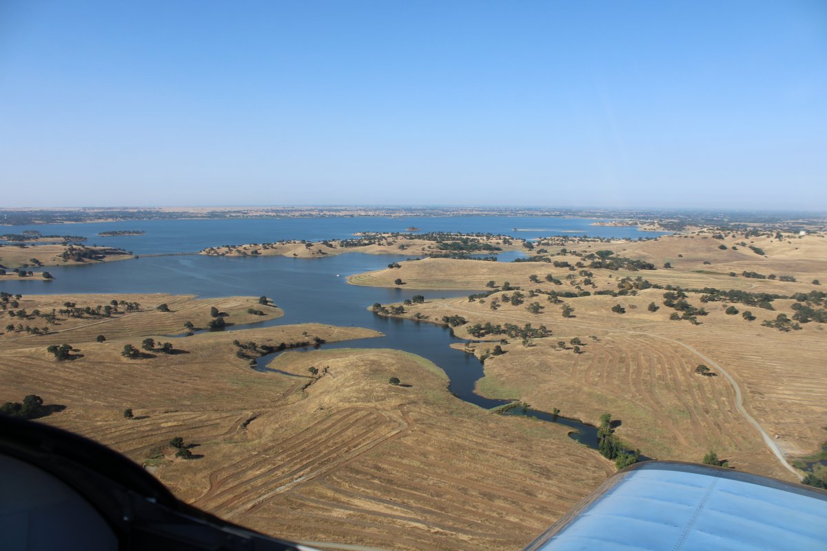
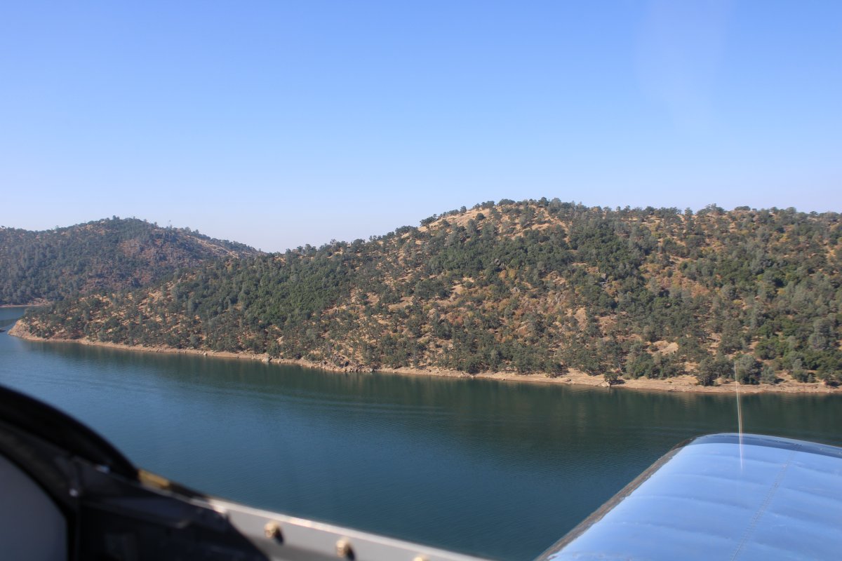
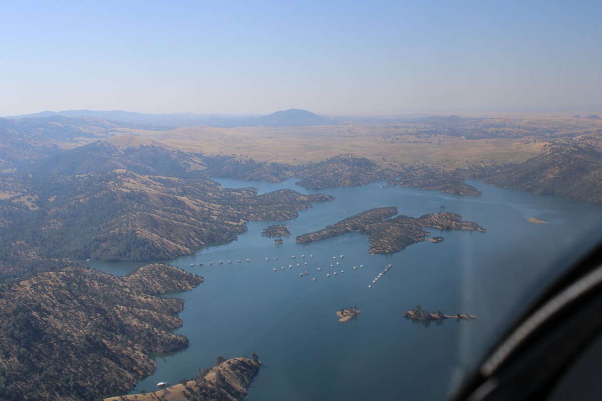
Plus water, like Camanche Reservoir.
The plan was to fly south and then take a left turn to Yosemite.
|
| |
 |
|
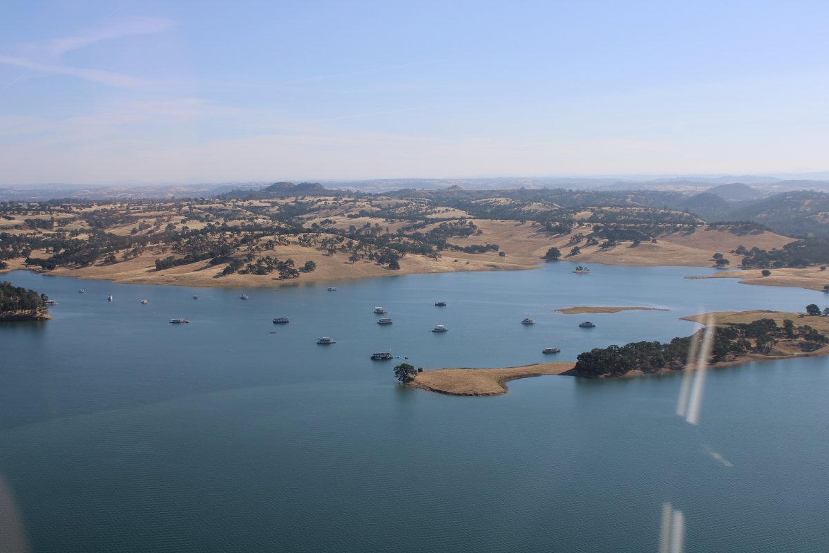
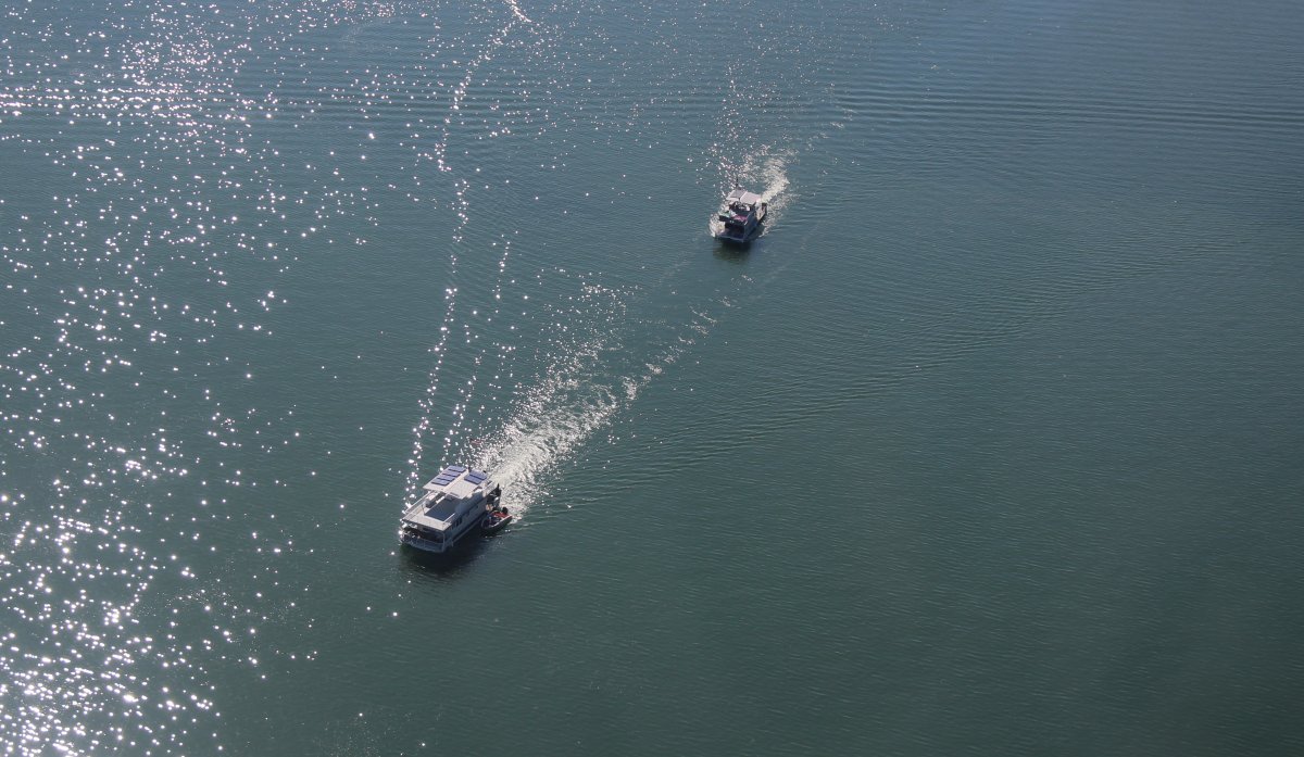
| Lots of houseboats on the water. |
| |
 |
|
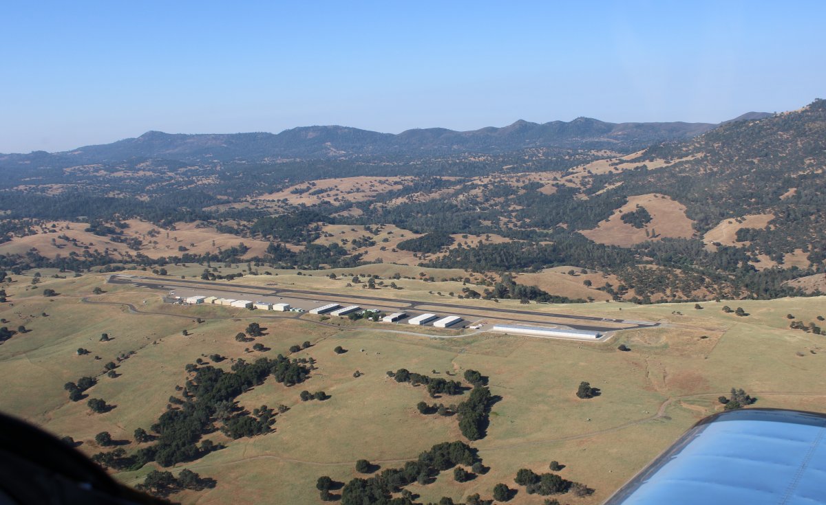
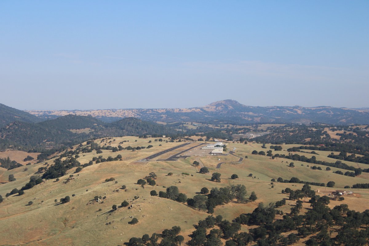
| On downwind at Calaveras County Airport. |
| |
 |
|
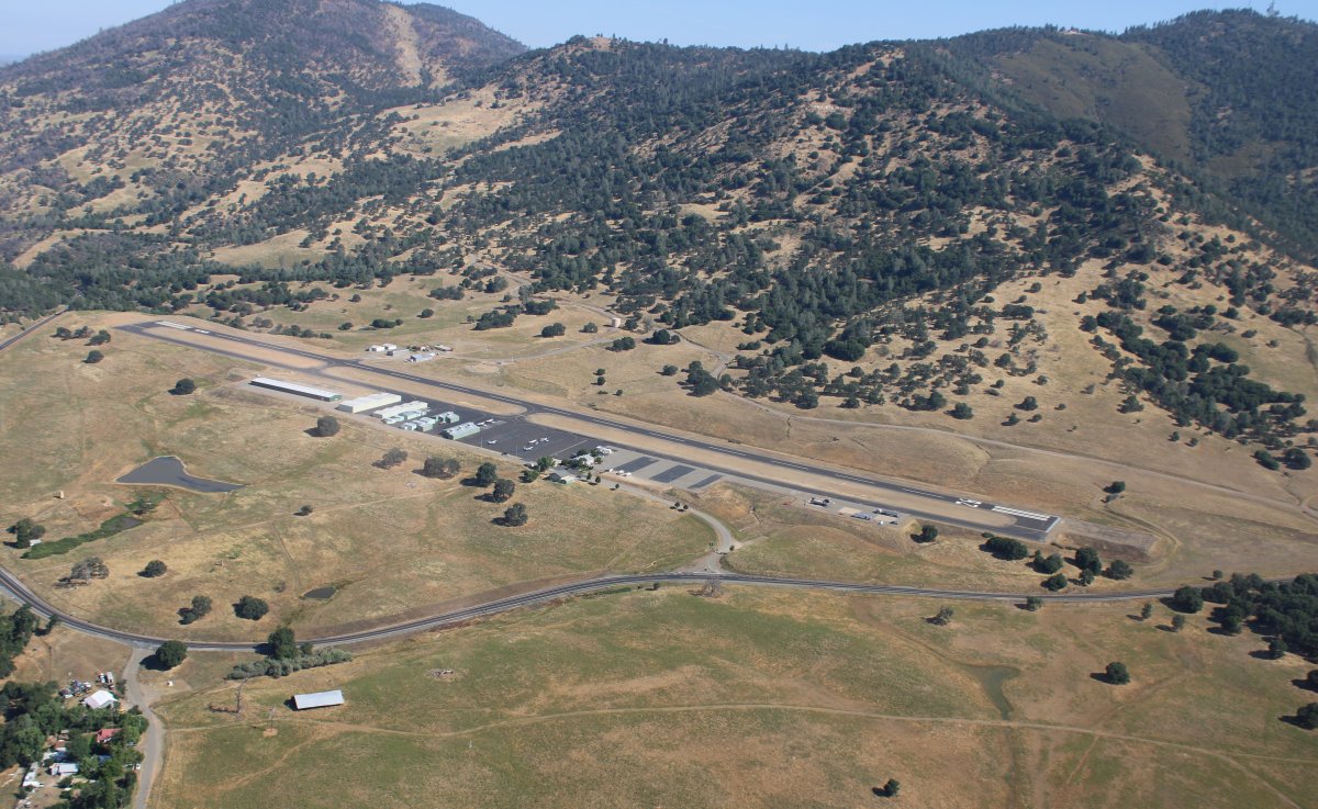
| This airport sits by itself on top of a plateau. I stopped here because of their low fuel price. |
| |
 |
|
|
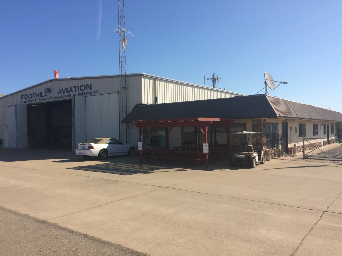
Unfortunately they were out of fuel. But it seemed like a friendly place, with a nice cozy FBO Office/Pilot's lounge.
|
| |
 |
|
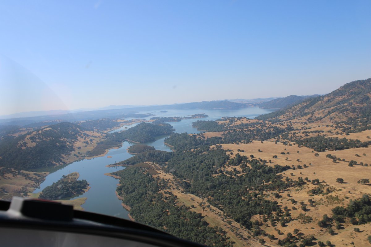
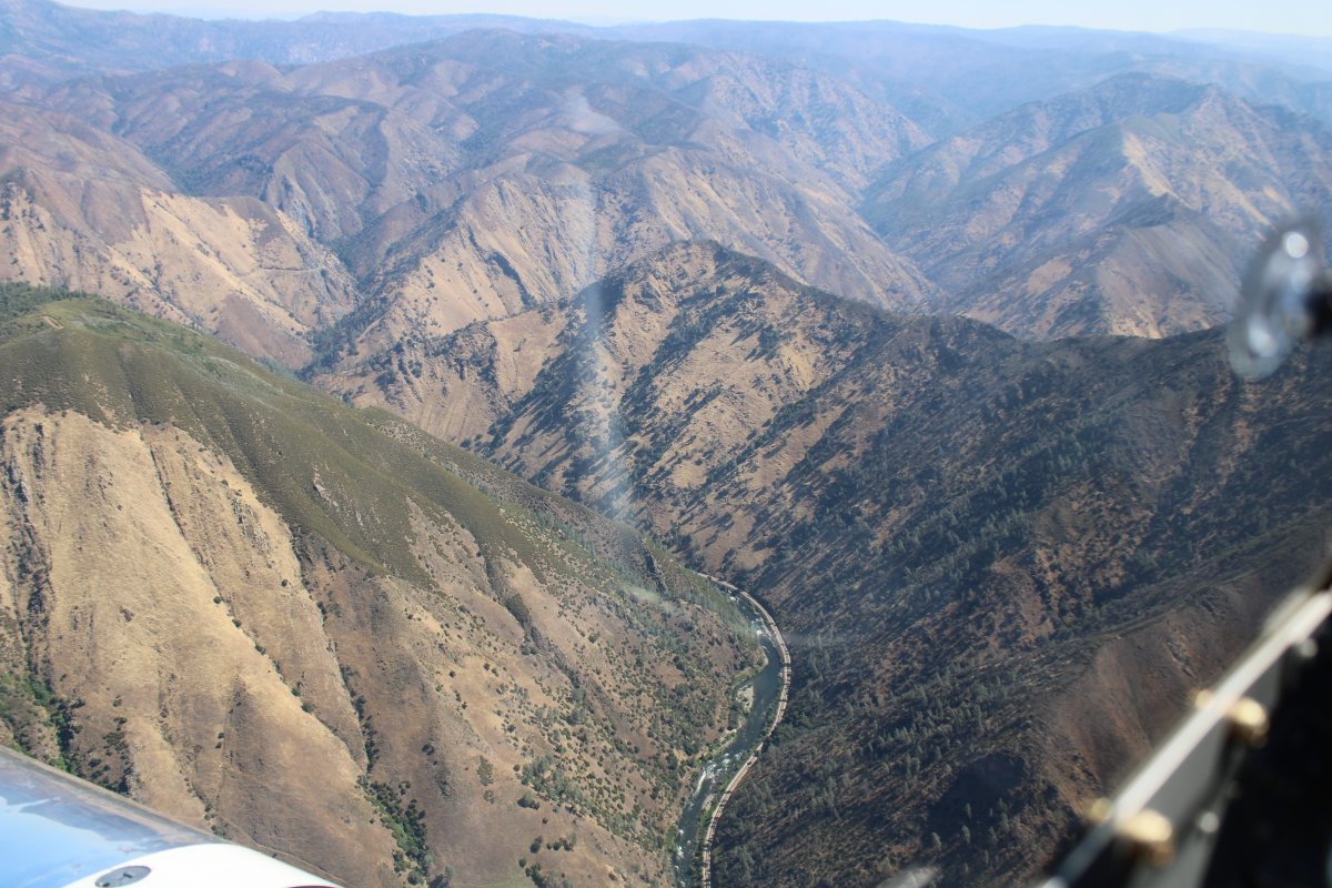
| Continuing south, I came to the Melones Reservoir. |
| |
 |
|
|
Down low on the reservoir. It looked familiar. Then I realized I had flown here many years ago in the Citabria giving rides to my nephews. Columbia and Twain Harte where my sister used to live are nearby to the east.
|
| |
 |
|
| Houseboats cruising the reservoir. |
| |
 |
|
| Now I'm over the Don Pedro Reservoir. But I will have to climb to get over that ridge up ahead. |
| |
 |
|
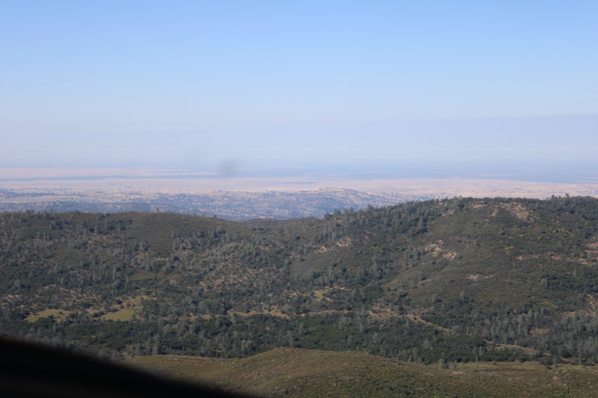
| Looking west, the Central Valley is visible over that ridge. |
| |
 |
|
|
Crossing the ridge. Another reservoir is on the other side: Lake McClure.
|
| |
 |
|
| A better look at the Central Valley. |
| |
 |
|
|
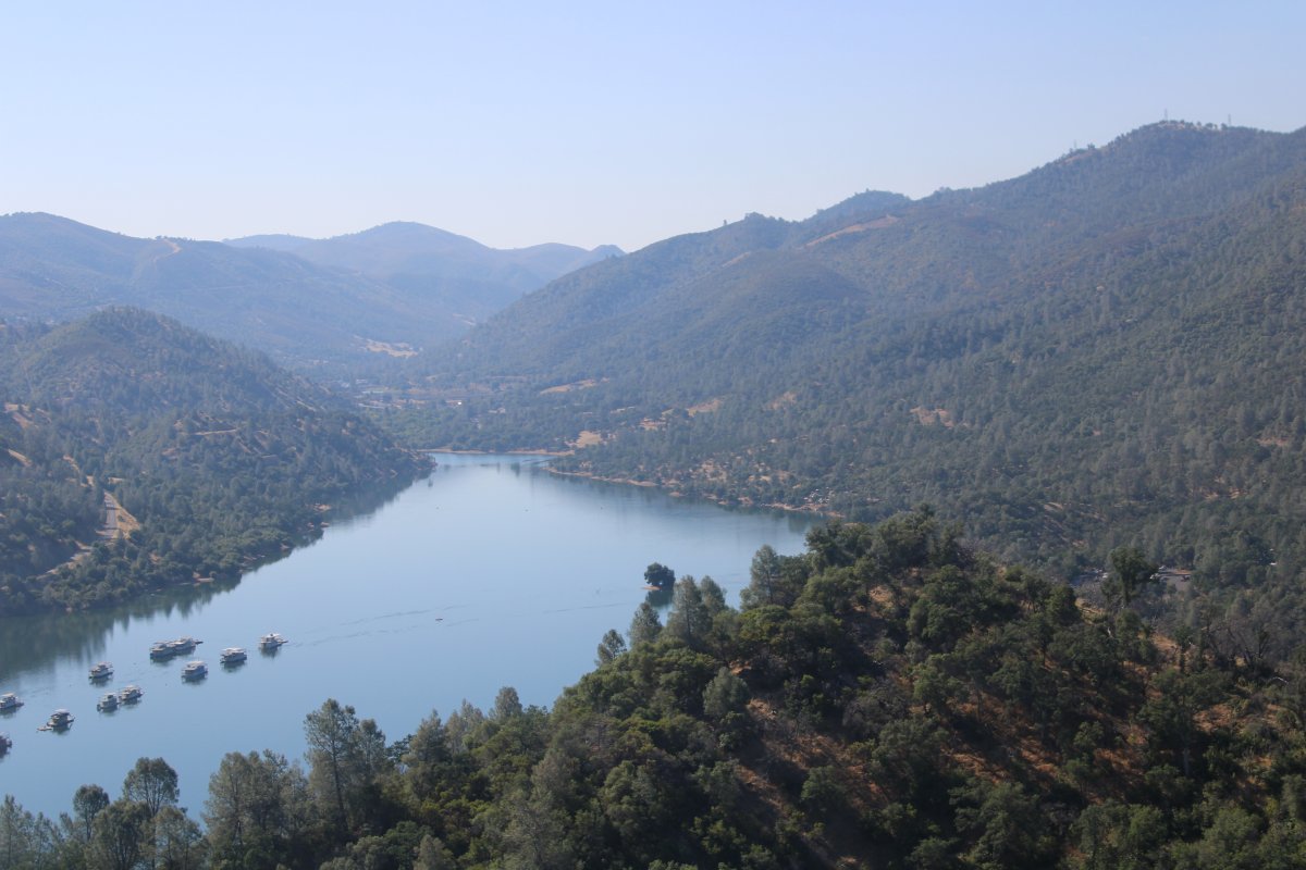
Lots of houseboats tied up on Lake McClure.
|
| |
 |
|
| I turned east and soon came to Mariposa-Yosemite Airport (KMPI), where I stopped for gas. The price was surprisingly good considering it's up here in the mountains. I didn't stay long. I got my gas, talked with an airport bum in the pilot's lounge for a few minutes and was soon on my way. |
| |
 |
|
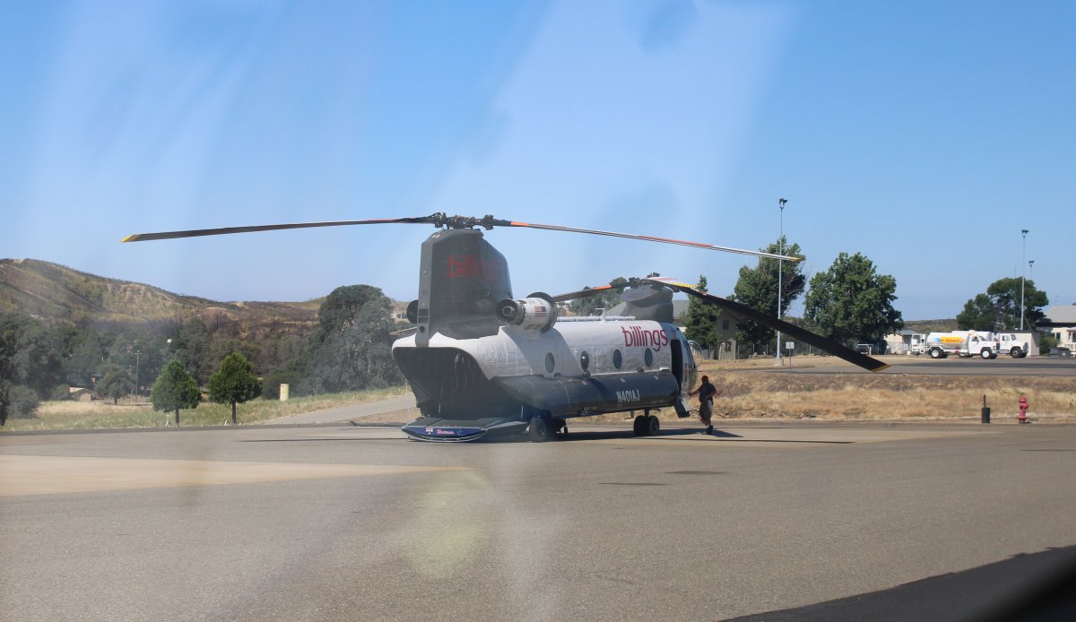
| Passing by a big privately-owned CH-47 Chinook. |
| |
 |
|
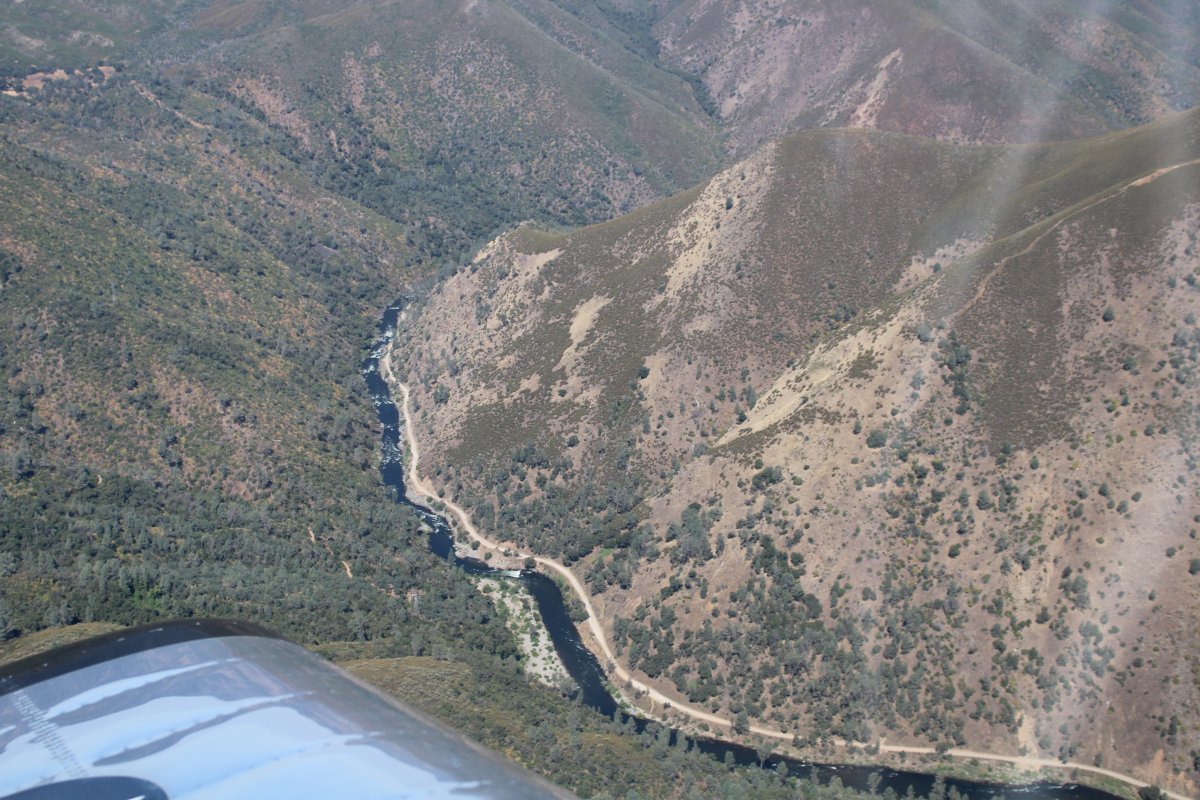
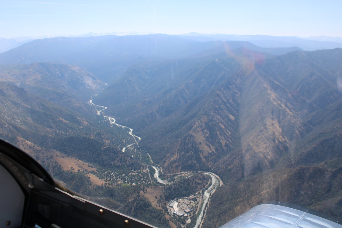
| It was easy to navigate to Yosemite Valley; just follow the Merced River way down below. |
| |
 |
|
|
Heading east into the Sierra Nevada. Unfortunately, since it is the morning, I'm flying into the sun.
|
| |
 |
|
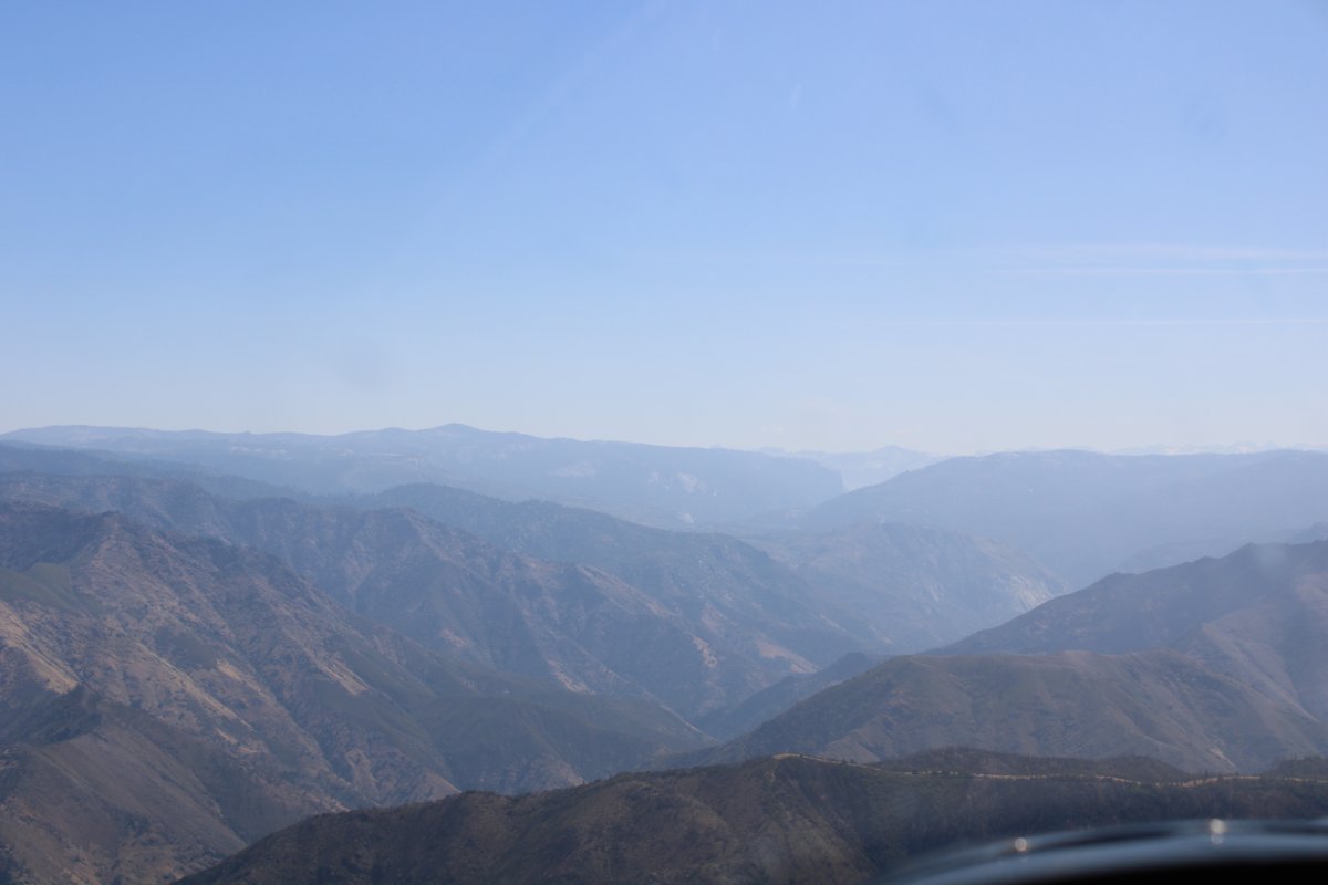
| Haze with lots of glare. |
| |
 |
|
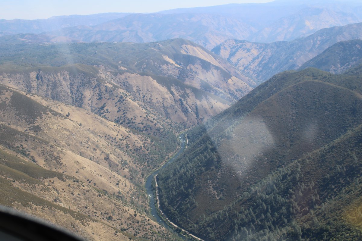
|
The road to Yosemite follows the Merced River also.
|
| |
 |
|
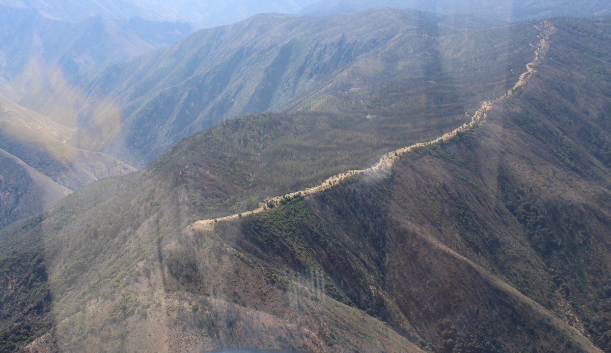
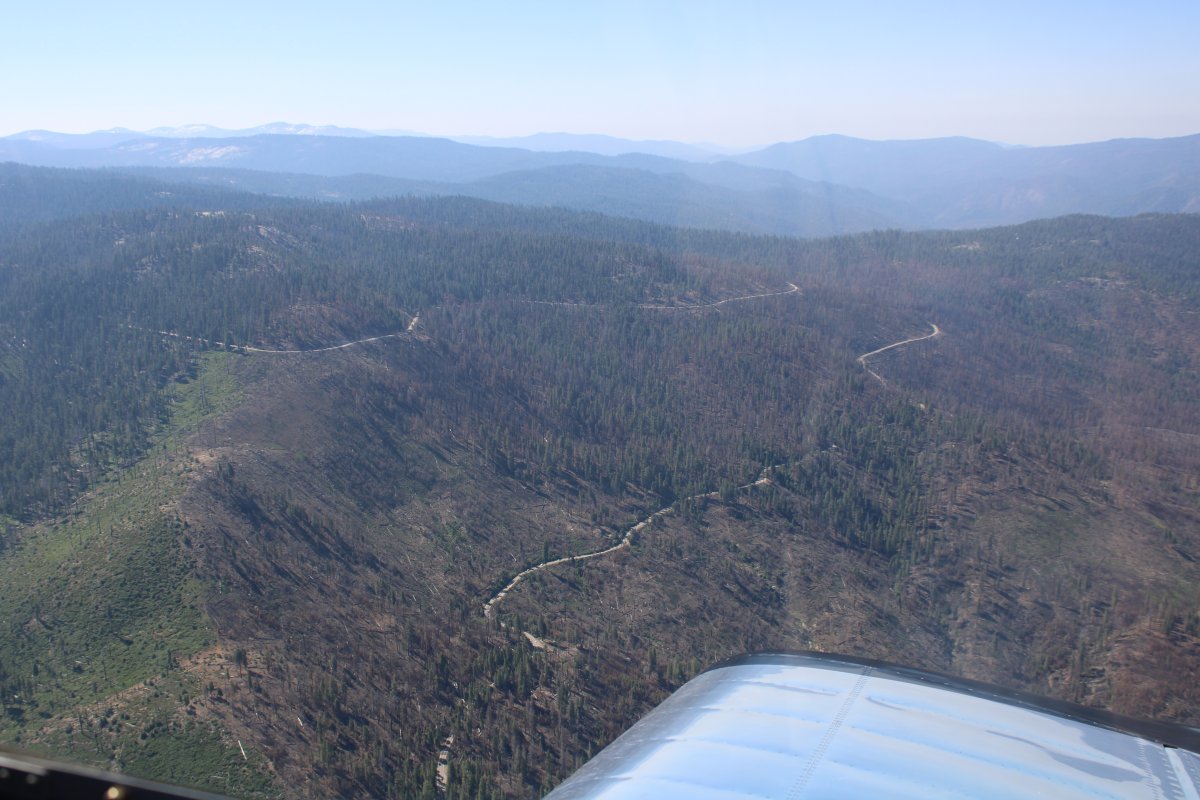
| I flew by this dirt road running along the top of a very high ridge and wondered why was it there? |
| |
 |
|
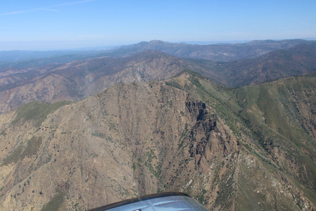
| Flying through the mountains but not the tall ones ... yet. |
| |
 |
|
| Some civilization down below -- last stop before Yosemite! |
| |
 |
|
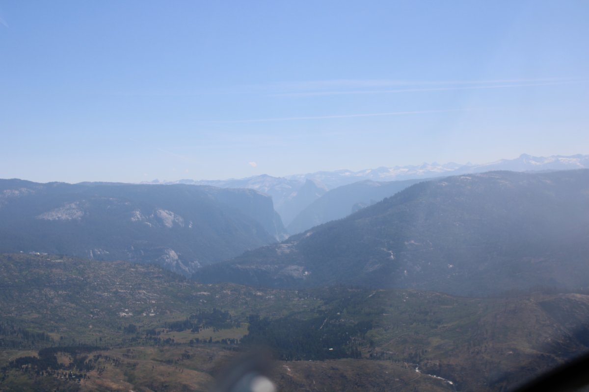
| And there it is! Half Dome is just visible through the haze. |
| |
 |
|
|
I know that Yosemite Valley is just around that bend.
|
| |
 |
|
| Wawona Road weaves through the trees southward. Lynnette and I stayed down by the Mariposa Sequoia Grove a few years ago and this is the only road between there and Yosemite so we got to know it. |
| |
 |
|
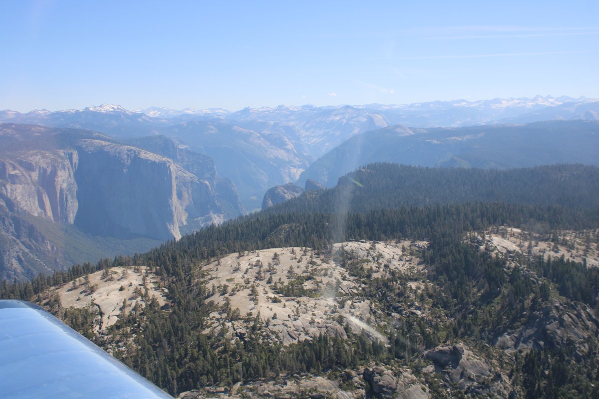
|
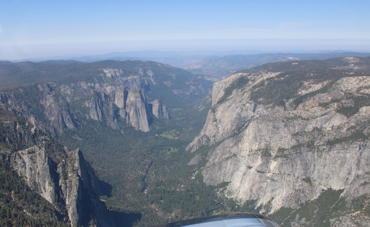
Yosemite Valley starts opening up. El Capitan is prominant at center left.
|
| |
 |
|
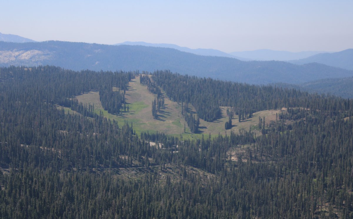
| Passing by Badger Pass Ski Area. This was the first place I ever skiied; we came up here when I was a kid. |
| |
 |
|
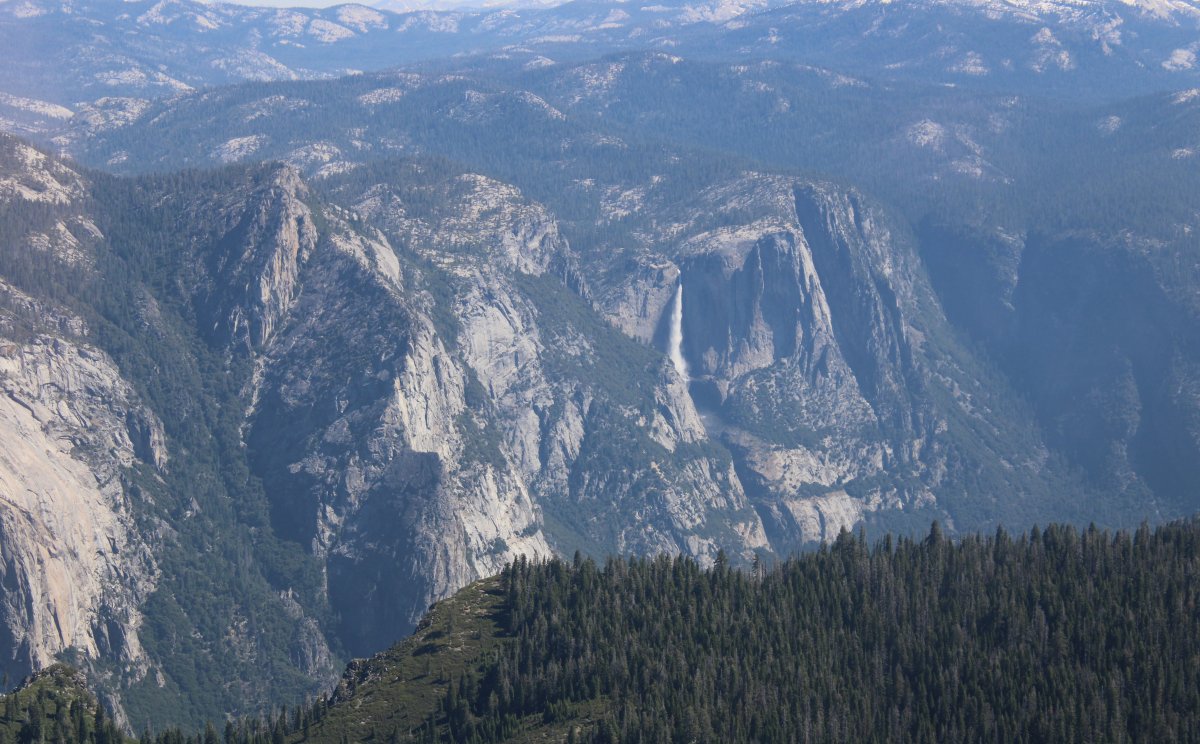
| Yosemite Falls is very visible on the north side of the valley. |
| |
 |
|
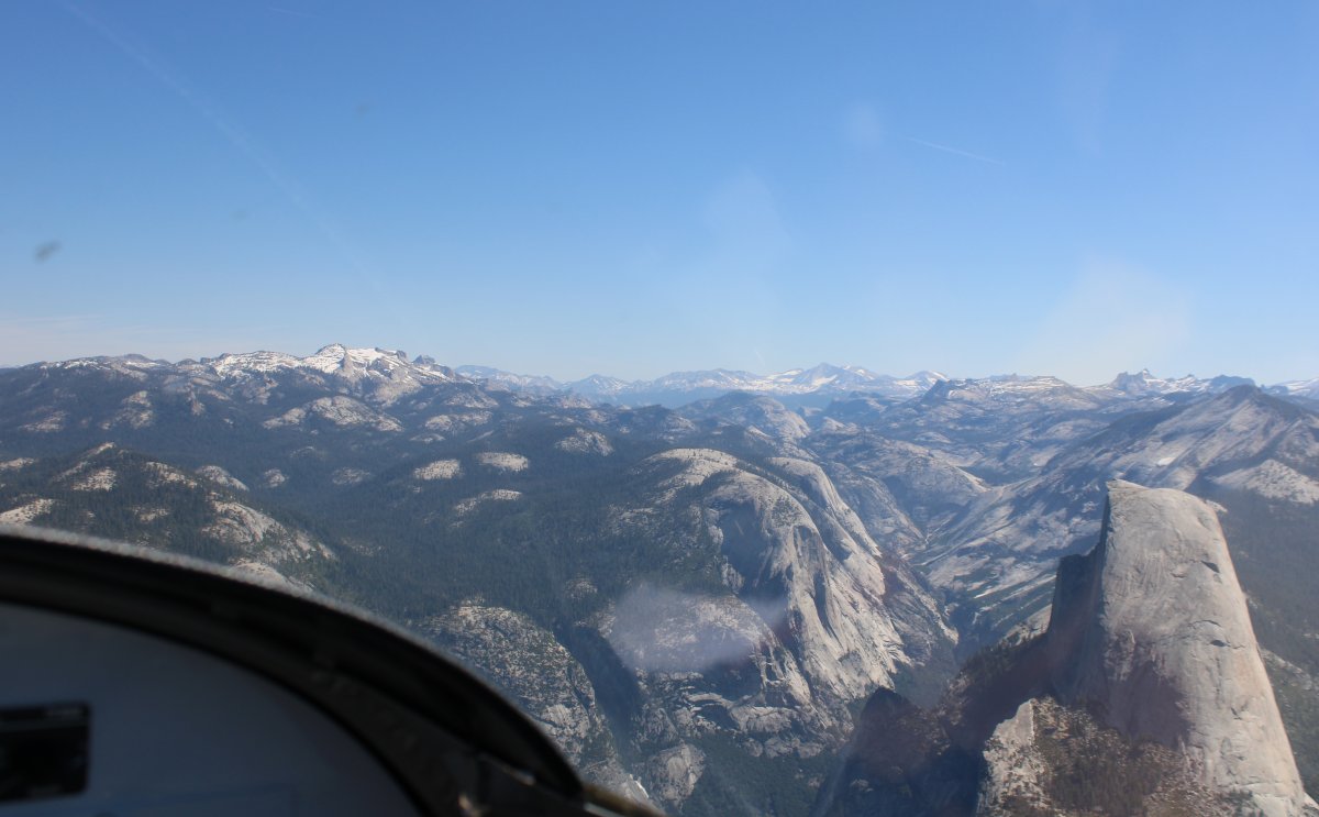
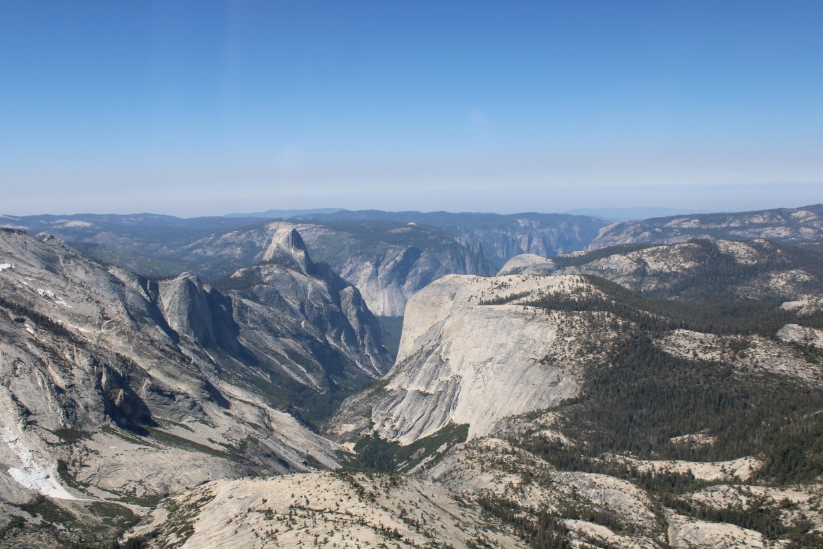
| I'm swinging by the south side of Glacier Point which overlooks Yosemite Falls, Half Dome and Vernal Falls. |
| |
 |
|
|
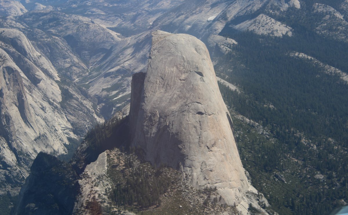
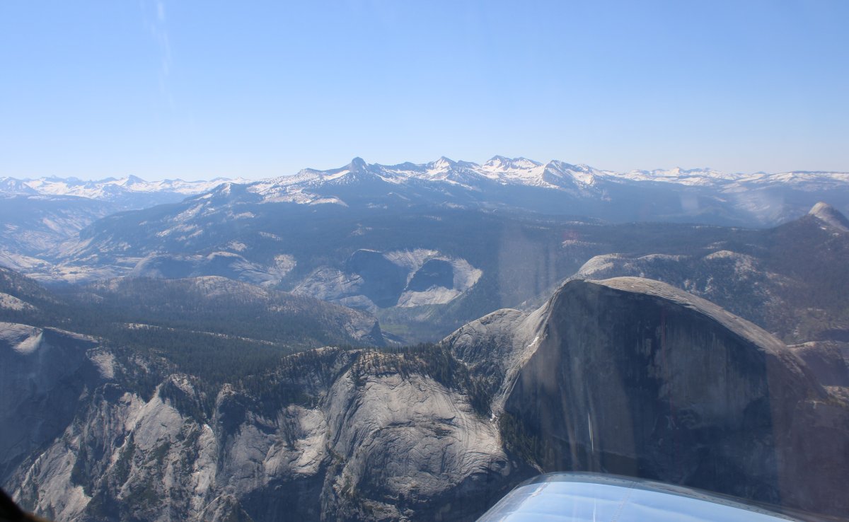
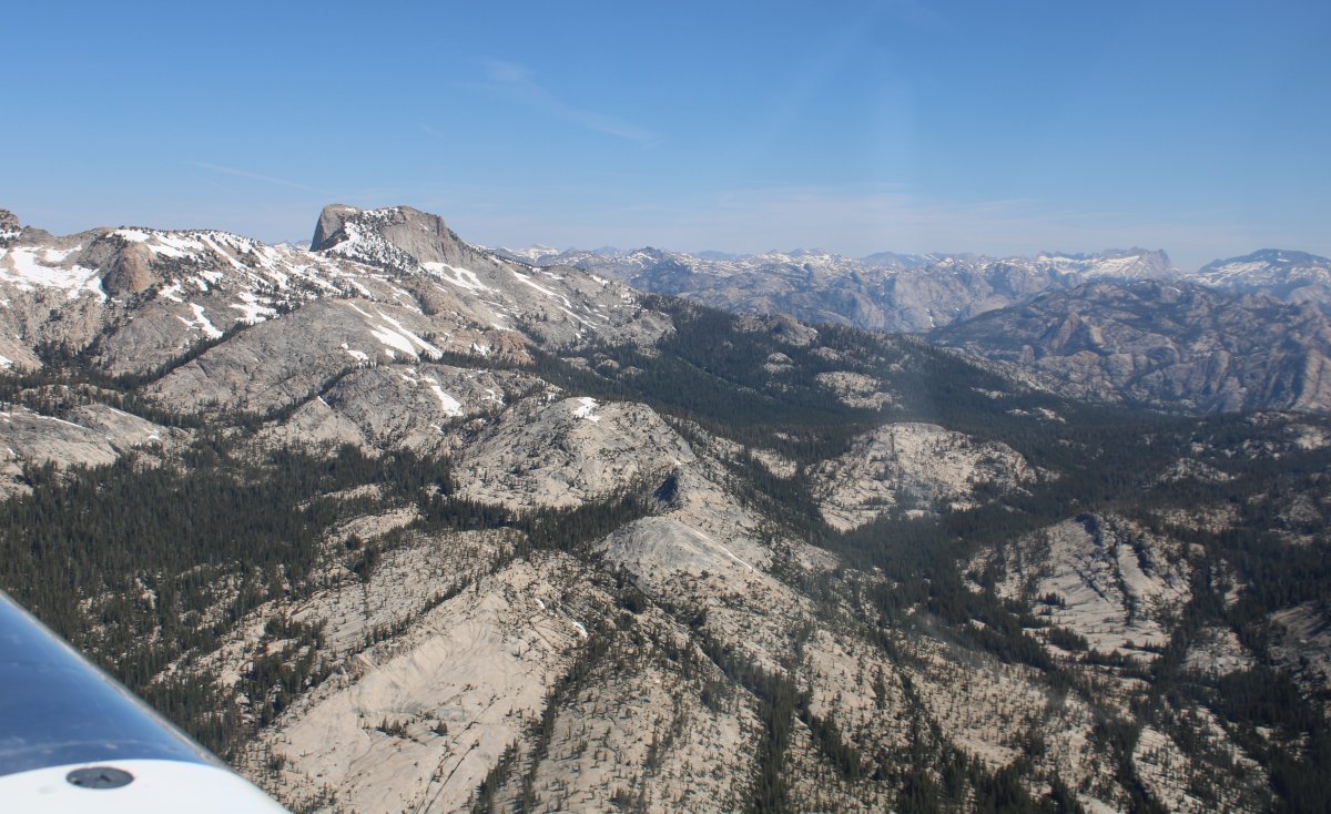
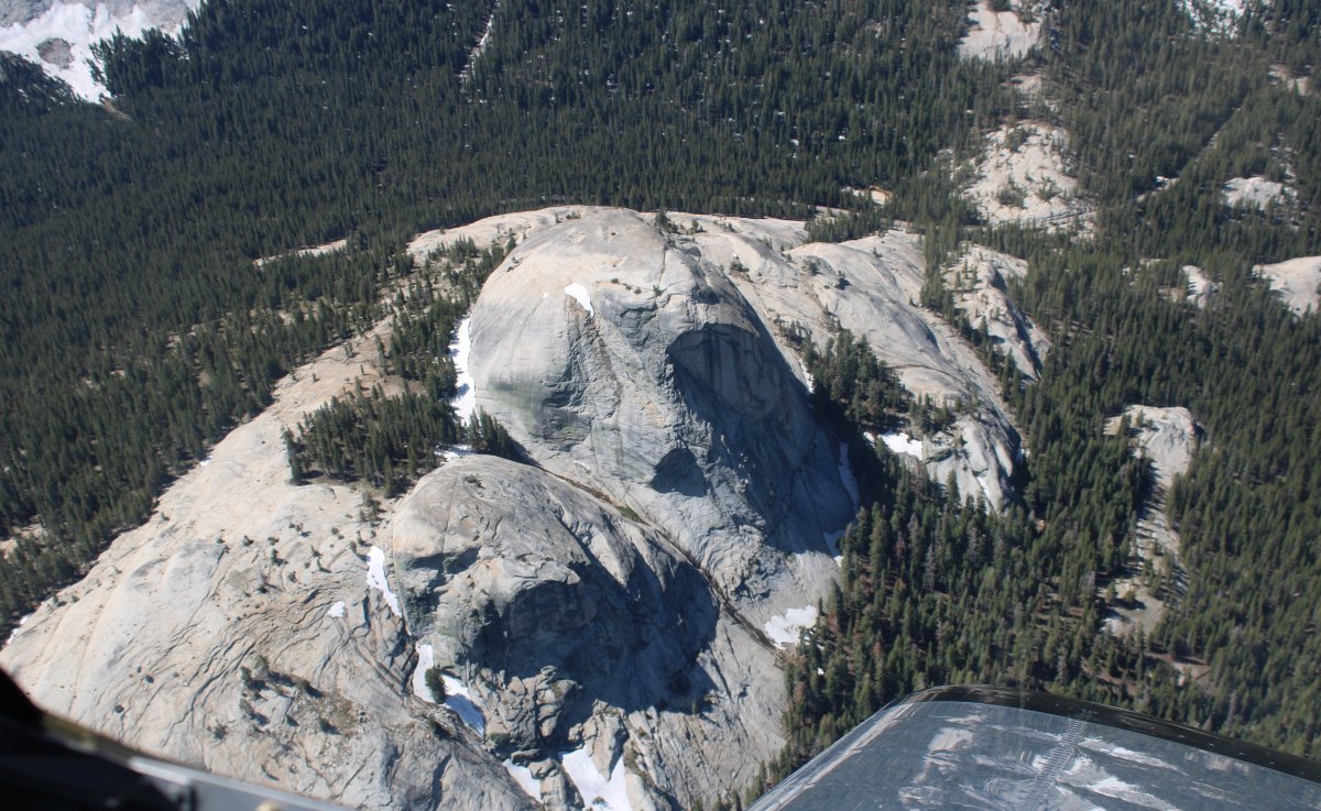
Half Dome from the side. Can you believe people day hike to the top? My two friends Keith and Pete did it many years ago.
|
| |
 |
|
|
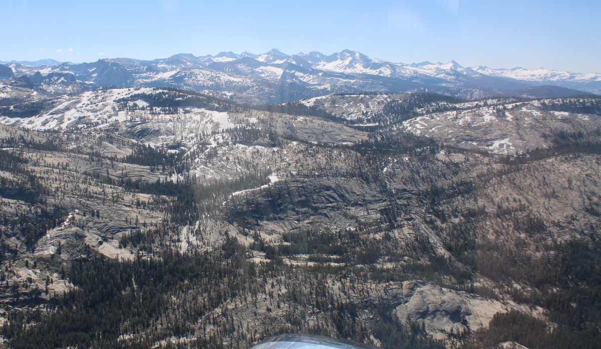
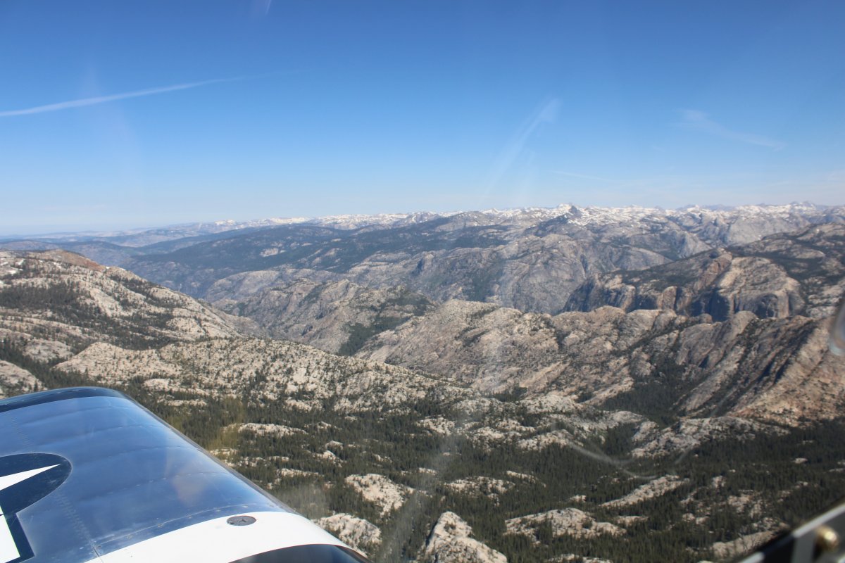
Looking northeast from Yosemite where the Sierra Nevada mountains really get big.
|
| |
 |
|
| Looking west down the Valley. |
| |
 |
|
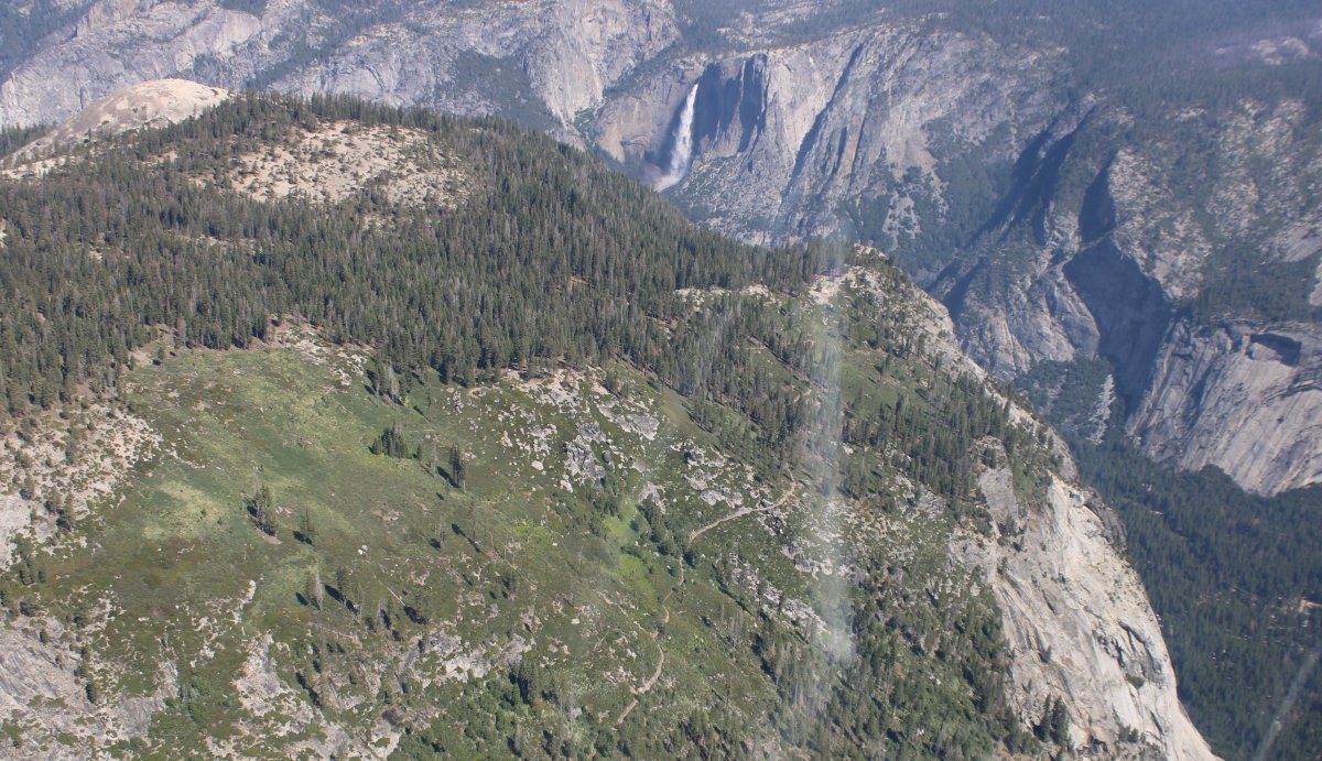
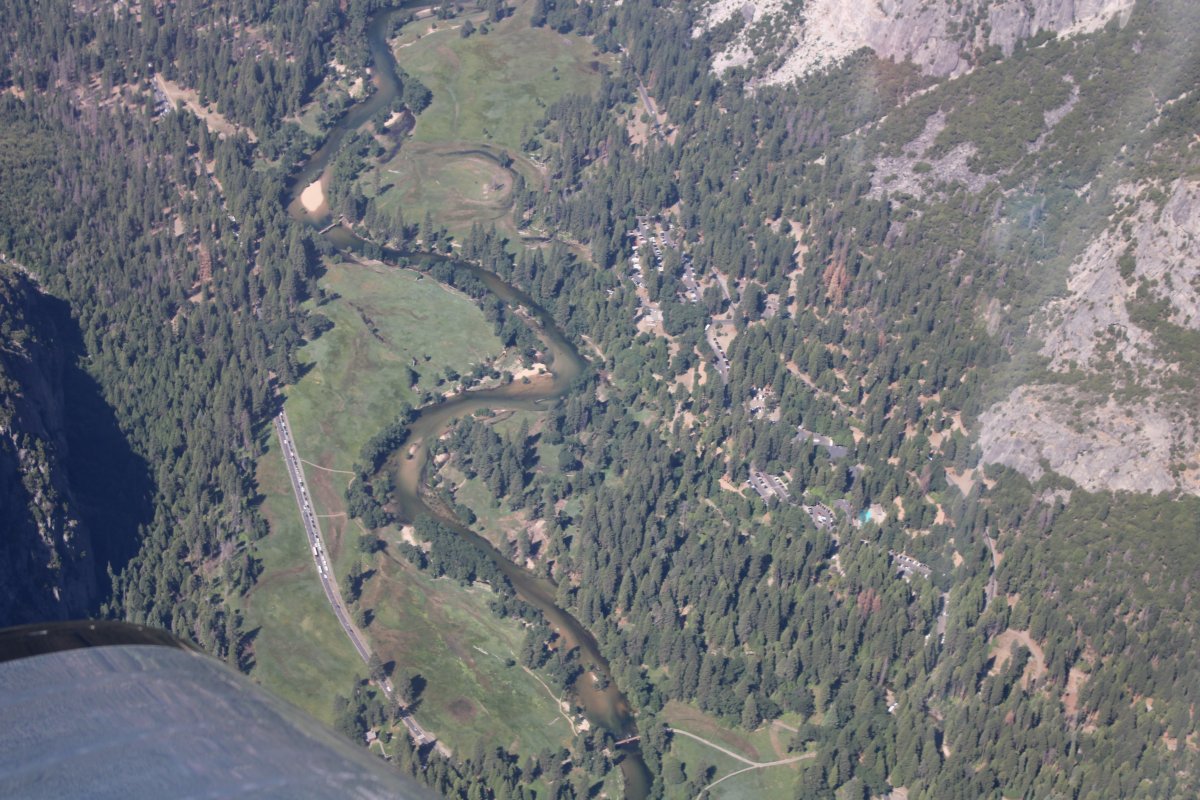
| Looking straight down into the valley. |
| |
 |
|
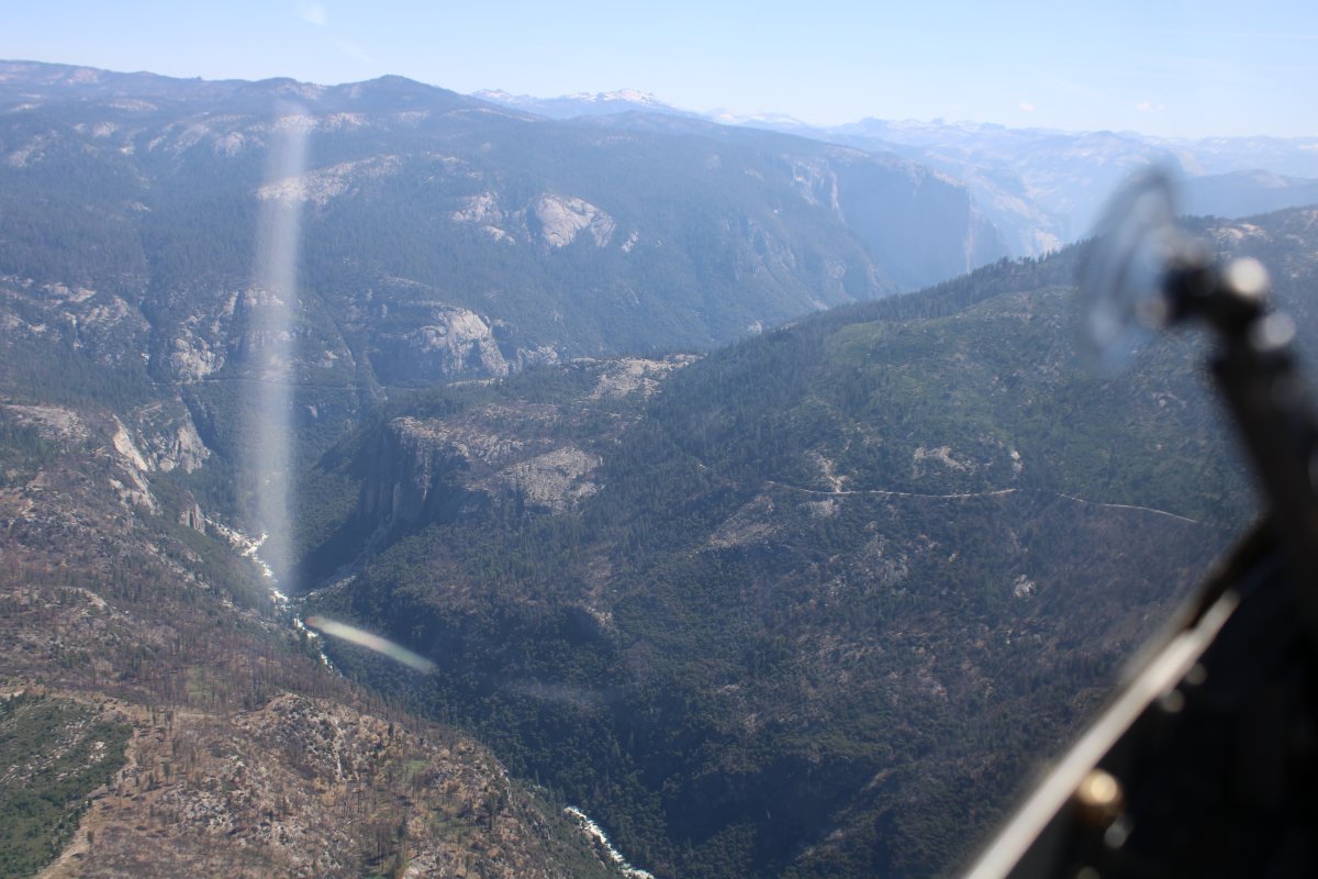
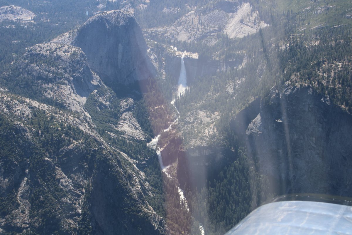
|
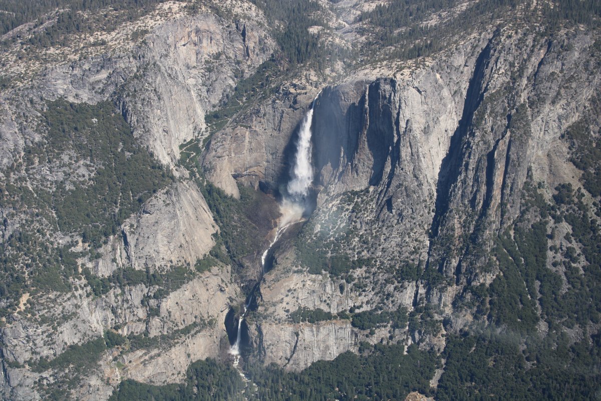
Zooming in on Yosemite Falls -- both Upper and Lower. There was a rainbow in the middle but I didn't get it with the camera.
|
| |
 |
|
| This is Vernal Falls at the east end of the Valley. |
| |
 |
|
| A better look at the gigantic snow-topped mountains east of Half Dome. |
| |
 |
|
| Having seen Yosemite valley, I now head northeast towards Tuolumne Meadows and Tioga Pass. |
| |
 |
|
| I'm flying pretty high, but the mountains are high too. |
| |
 |
|
|
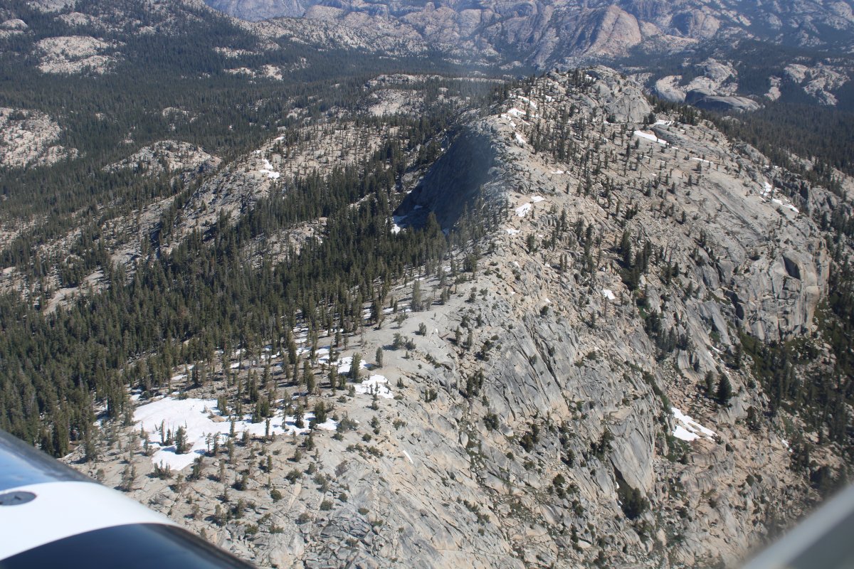
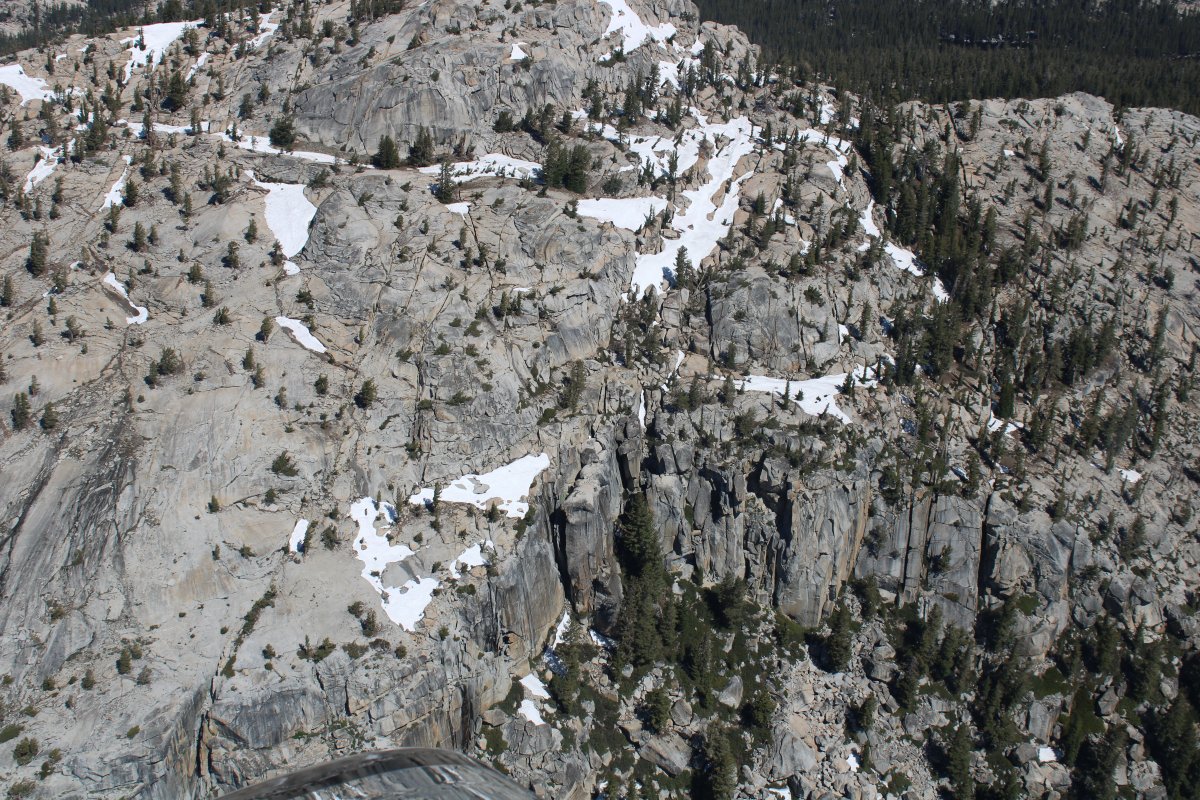
Absolutely stunning views everywhere I look.
|
| |
 |
|
| As is frequently the case, a road goes through the pass also. Appropriately named Tioga Road. |
| |
 |
|
|
Looking back at Half Dome and Glacier Point.
|
| |
 |
|
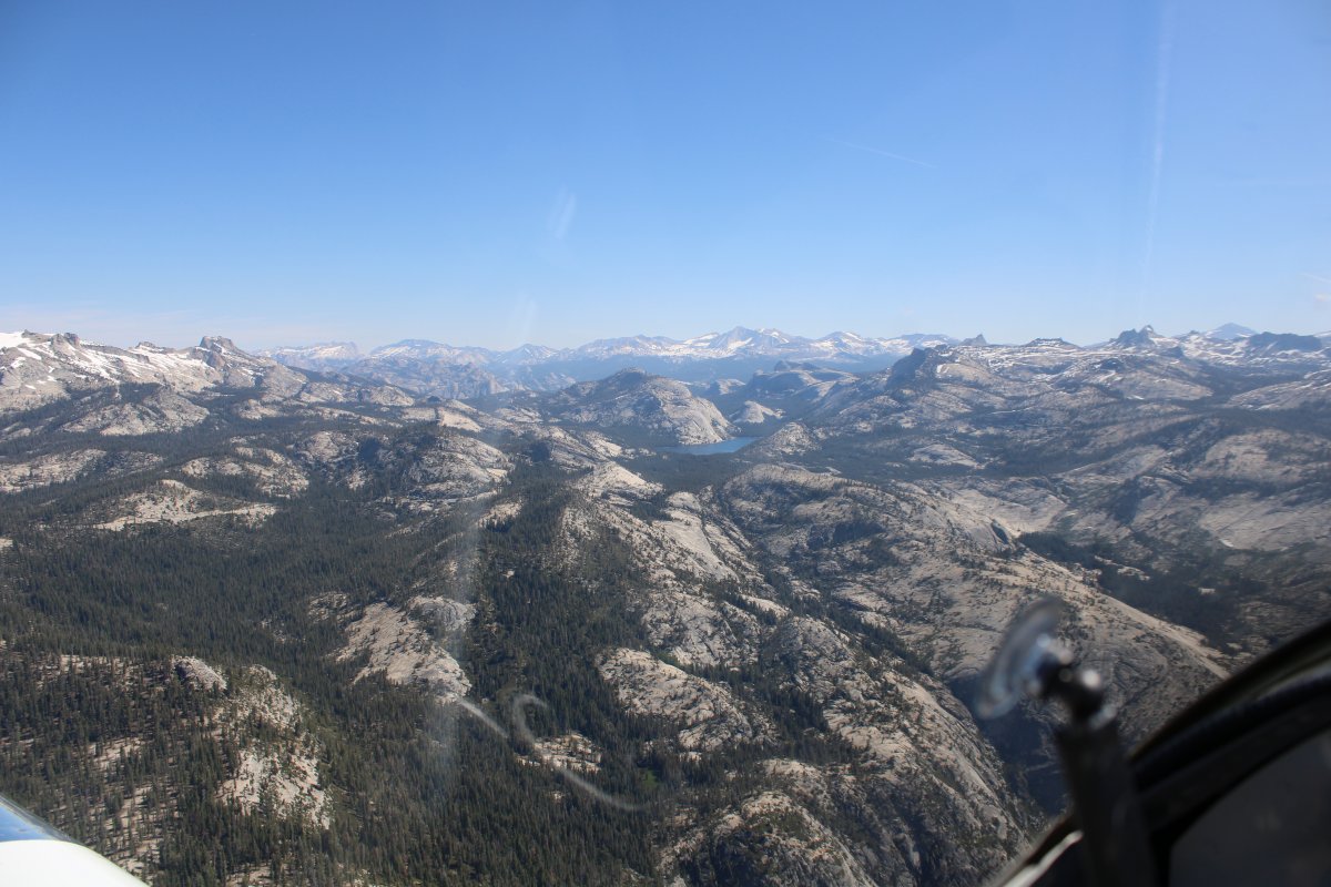
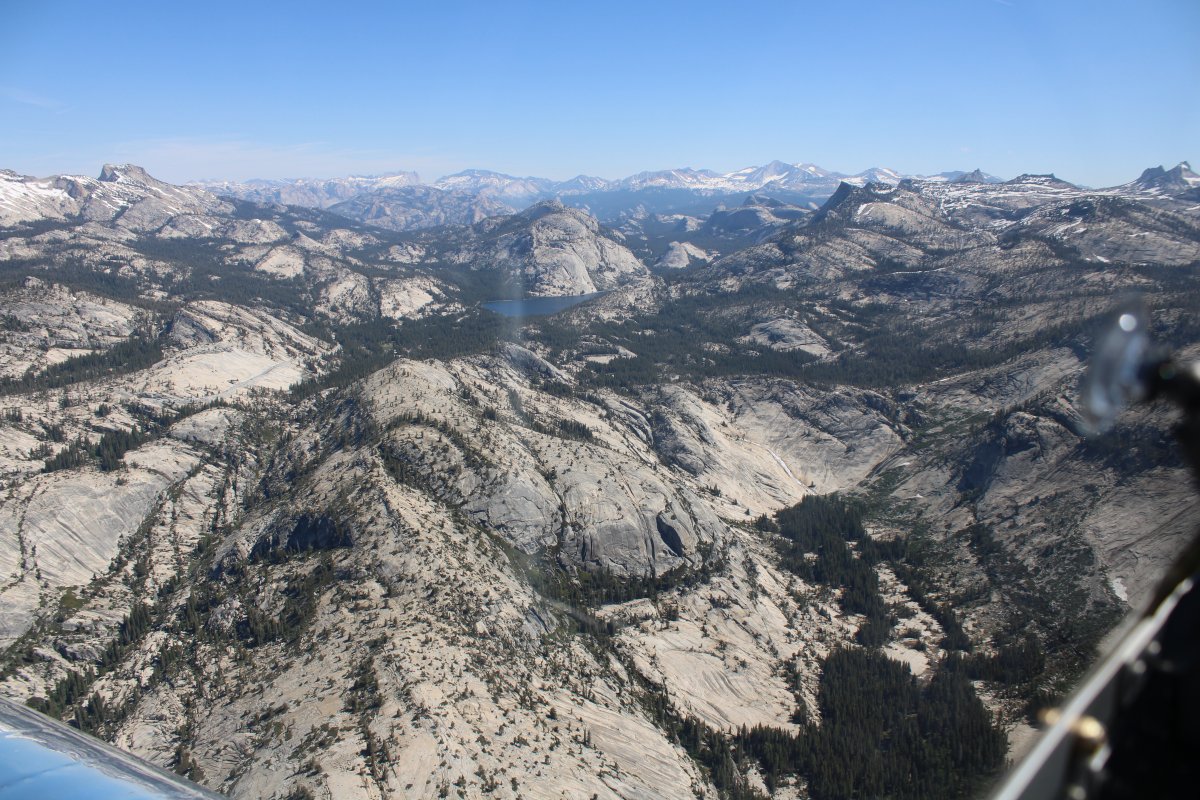
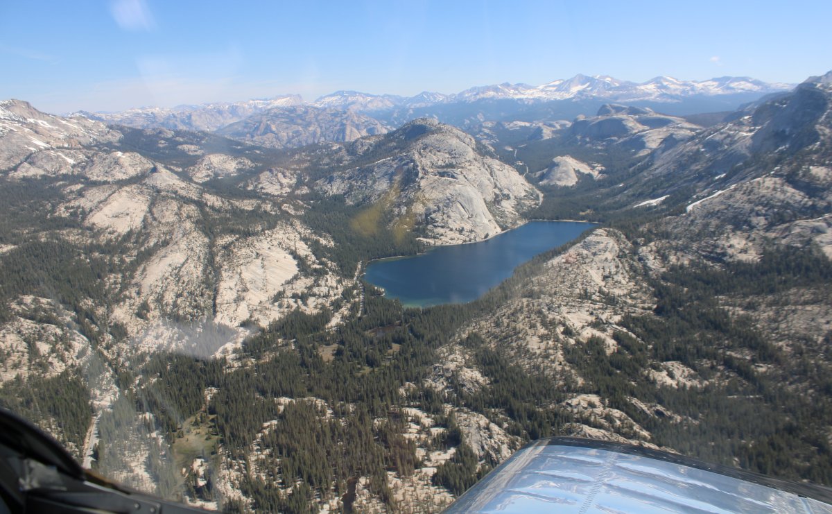
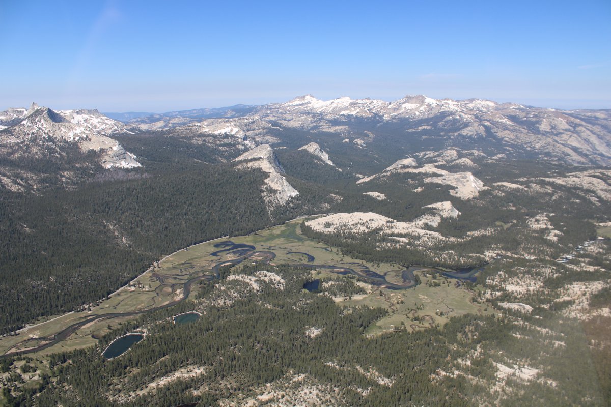
| Passing by Tenaya Lake. |
| |
 |
|
| |
| |
 |
|
| |
| |
 |
|
|
|
| |
 |
|
| |
| |
 |
|
|
The view to the north.
|
| |
 |
|
| |
| |
 |
|
|
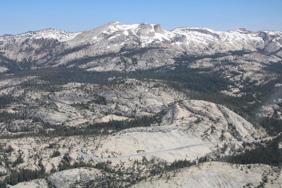
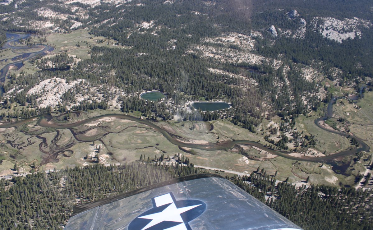
Overhead Tuolumne Meadows. I've heard the name my whole life but have never seen it.
|
| |
 |
|
|
Looks like a neat place; will have to visit here some day. I understand they have a beautiful visitor's center built in the 1930's by the CCC.
|
| |
 |
|
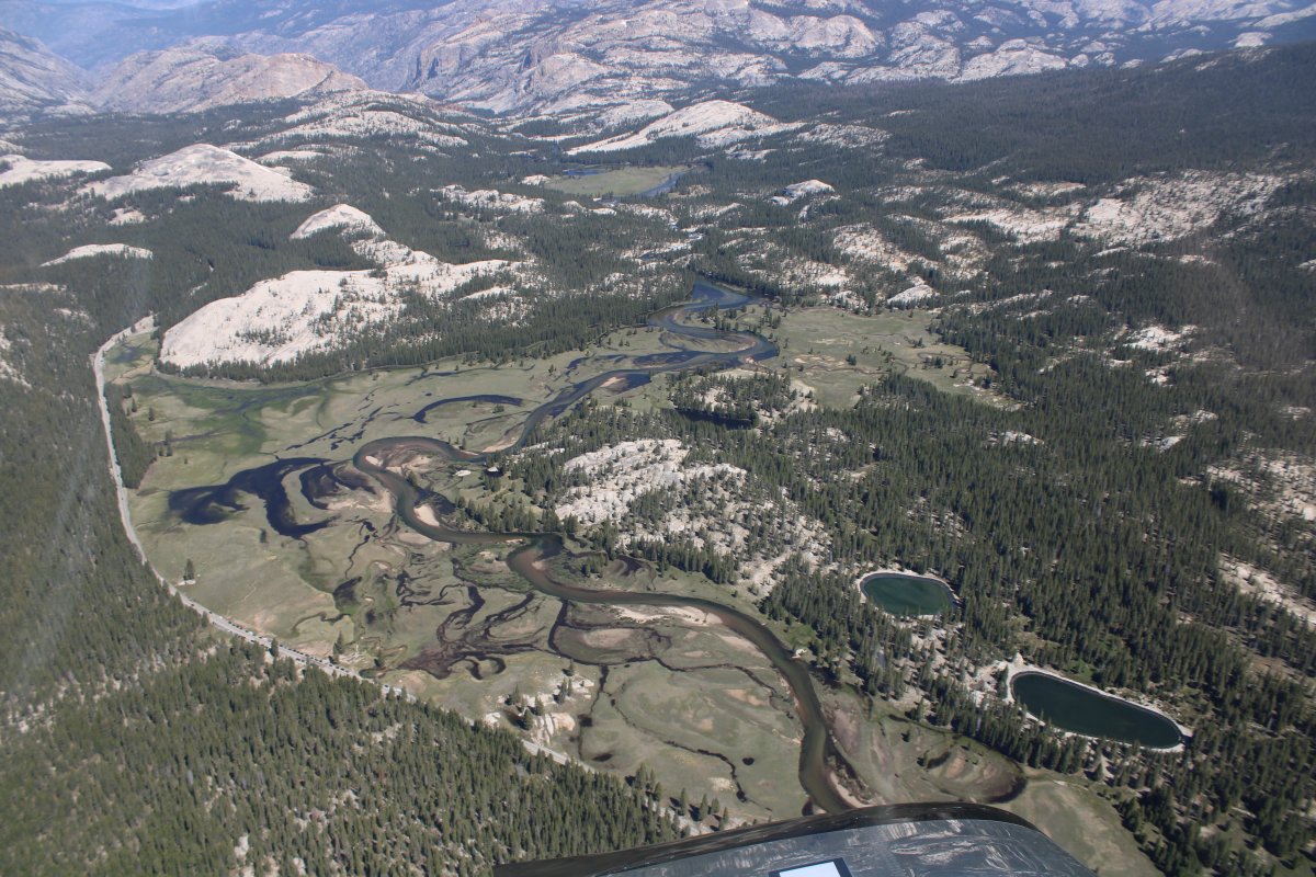
| The meadows from a distance. |
| |
 |
|
|
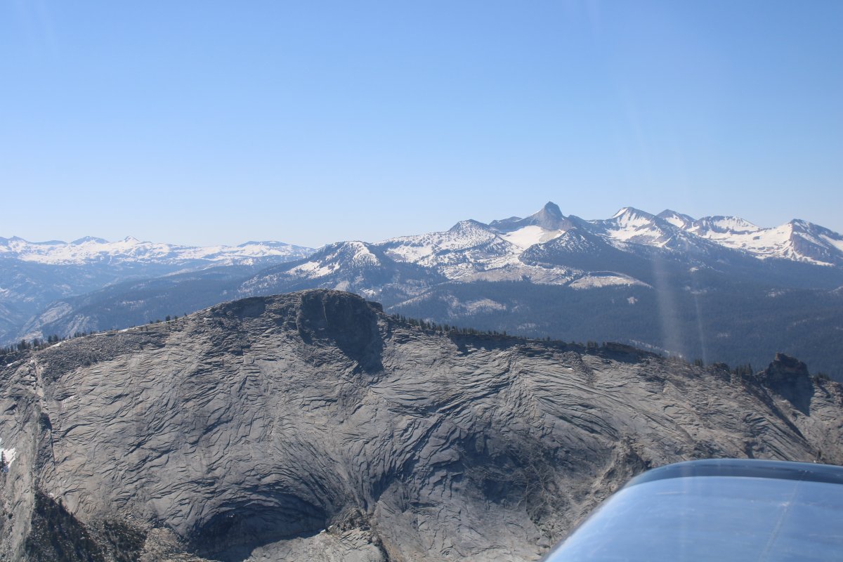
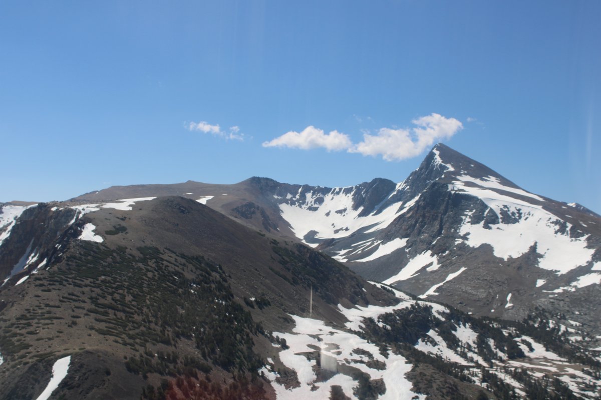
Mount Warren (12,327 ft) to the right.
|
| |
 |
|
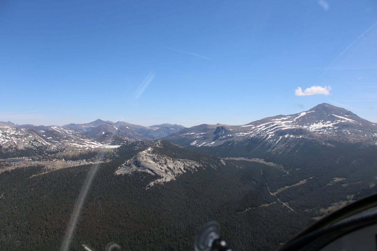
| Looking northwest as I transit through Tioga Pass, a new experience for me. |
| |
 |
|
| The view straight ahead while going through Tioga Pass. |
| |
 |
|
|
Rounding the bend.
|
| |
 |
|
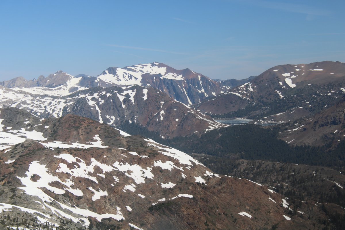
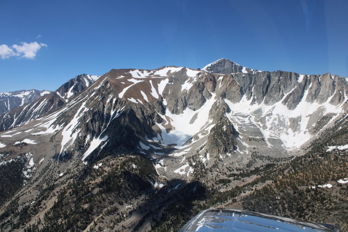
| Mount Dana to the south. |
| |
 |
|
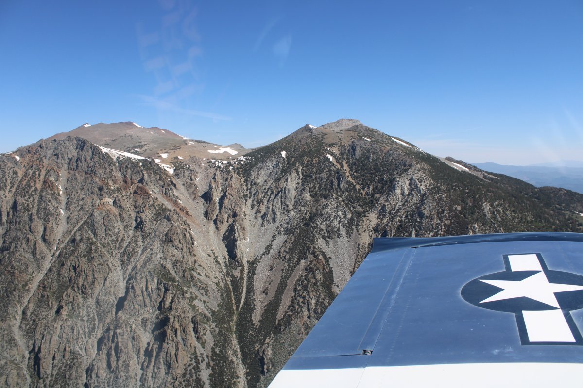
| Mount Warren on my left. |
| |
 |
|
|
Mount Dana on my right.
|
| |
 |
|
|
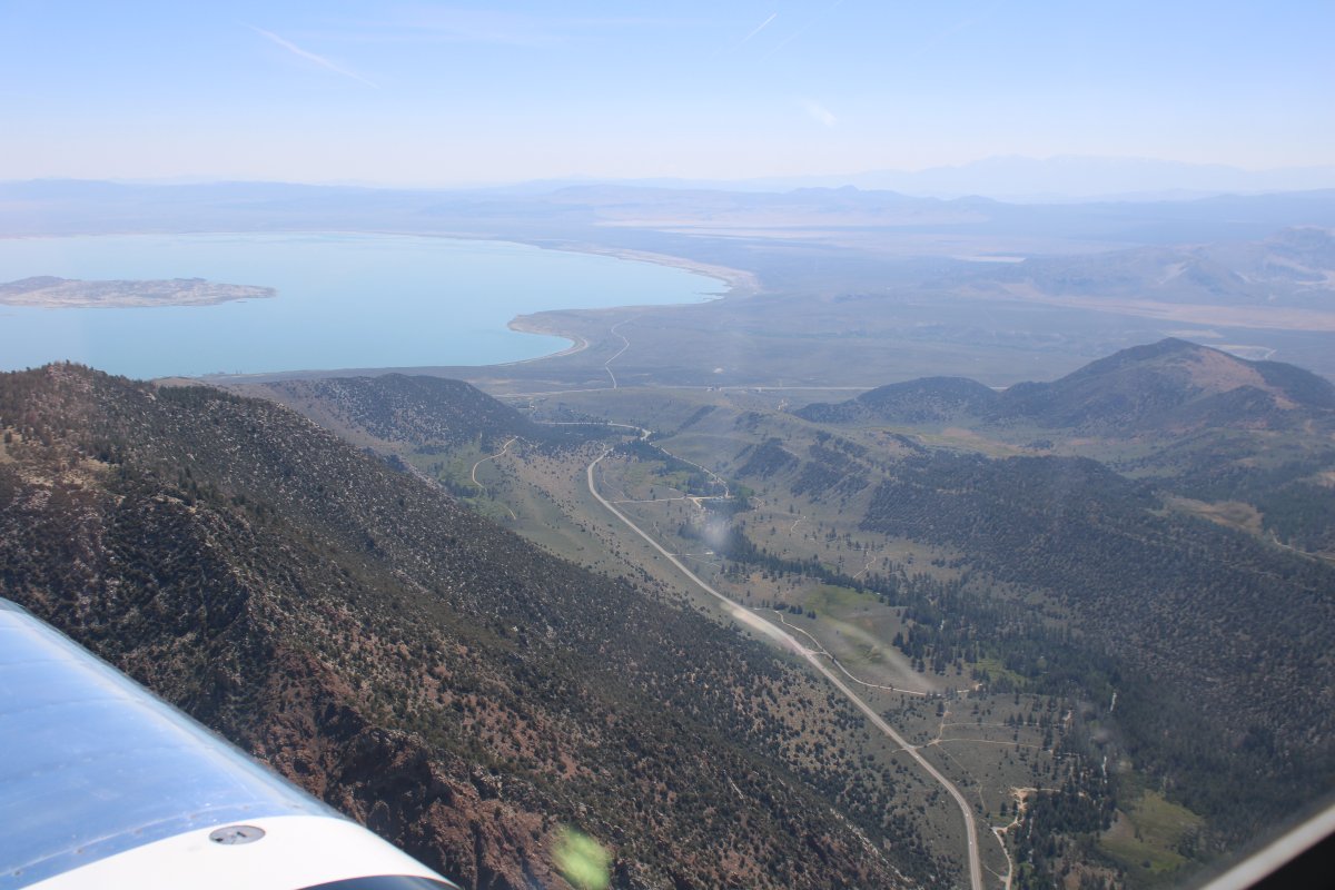
I emerge from the Sierra Nevada and there is big Mono Lake and the flat desert.
When planning this trip, I read the following passage about this leg of the flight: "The most spectacular route is definitely down the Yosemite Valley and across Tioga Pass (almost 10,000 feet high). As every pilot is aware, careful attention must be paid to the route and weather for such a flight. Your reward, however, will be one of the most thrilling aeronautical experiences to be encountered in the whole of North America."
I would have to agree with that last sentence!
|
| |
 |
|
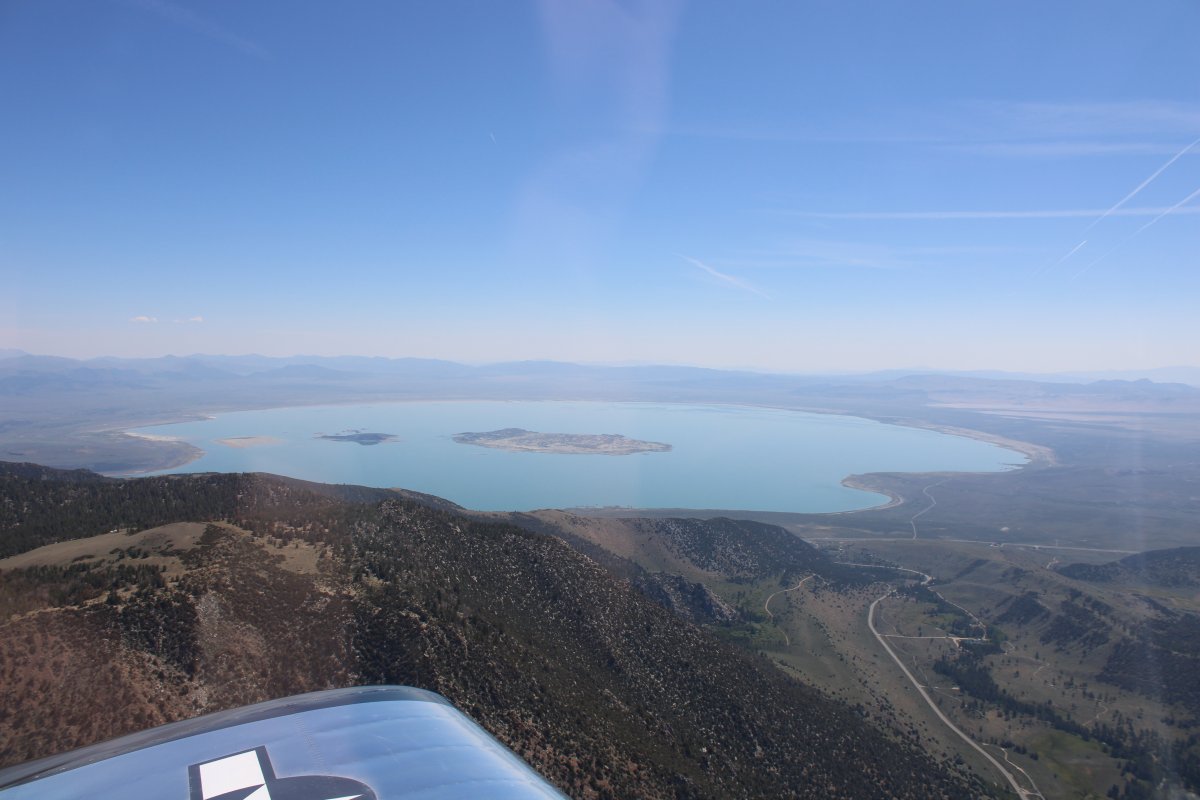
| A better look at Mono Lake in its entirety. |
| |
 |
|
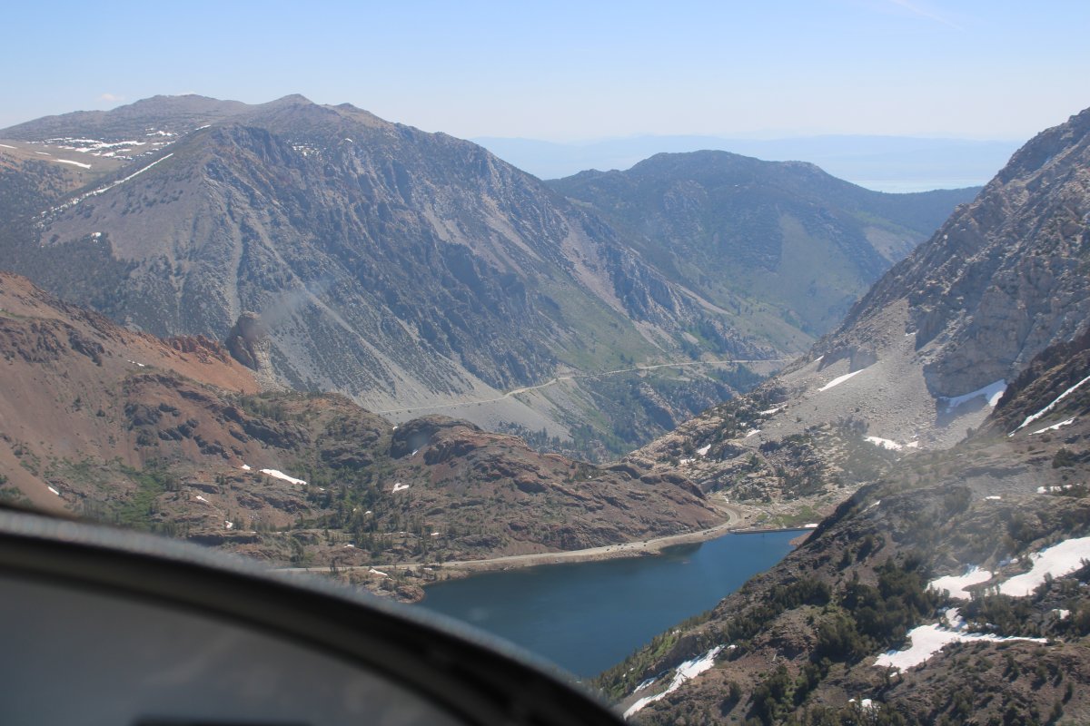
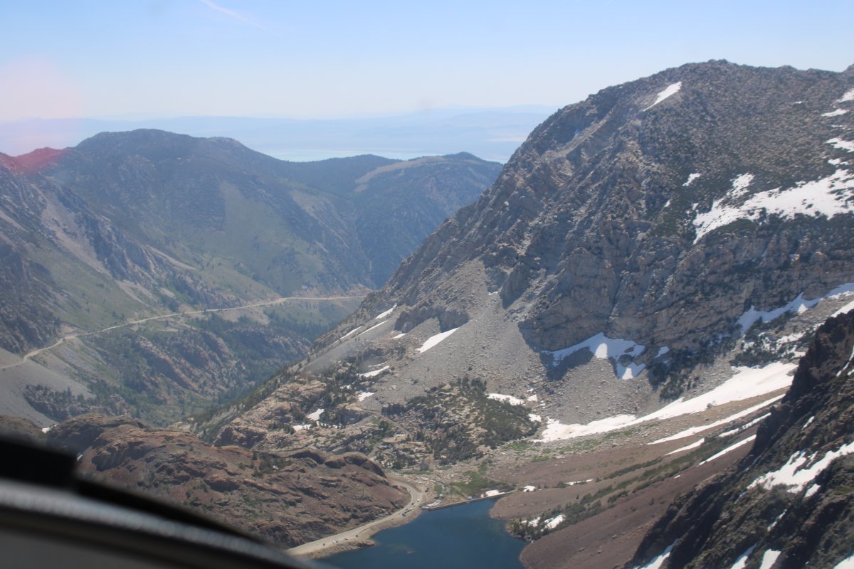
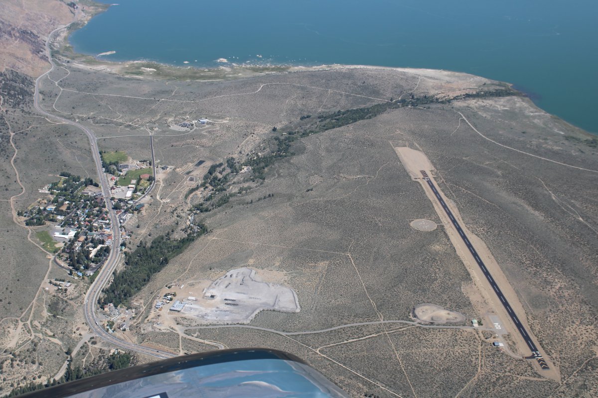
| Looking down at Lee Vining Airport (O24) on the shores of Mono Lake. No facilities, though. |
| |
 |
|
|
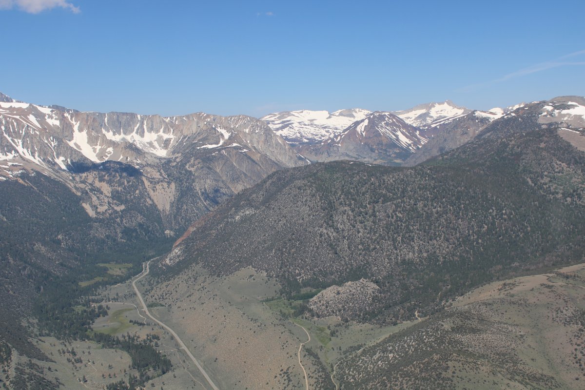
Looking back at the way I came through the Sierra Nevada. Wow! Recommended!
|
| |
 |
|
| |
| |
|
|
|
|
|
|