July 6, 2019 - Flight West - Day Eleven Part II
|
|
I headed south-southeast with the Sierra Nevada mountains to my right. I kept thinking what the covered wagon folks back in the mid 19th century must have thought looking at what was before them.
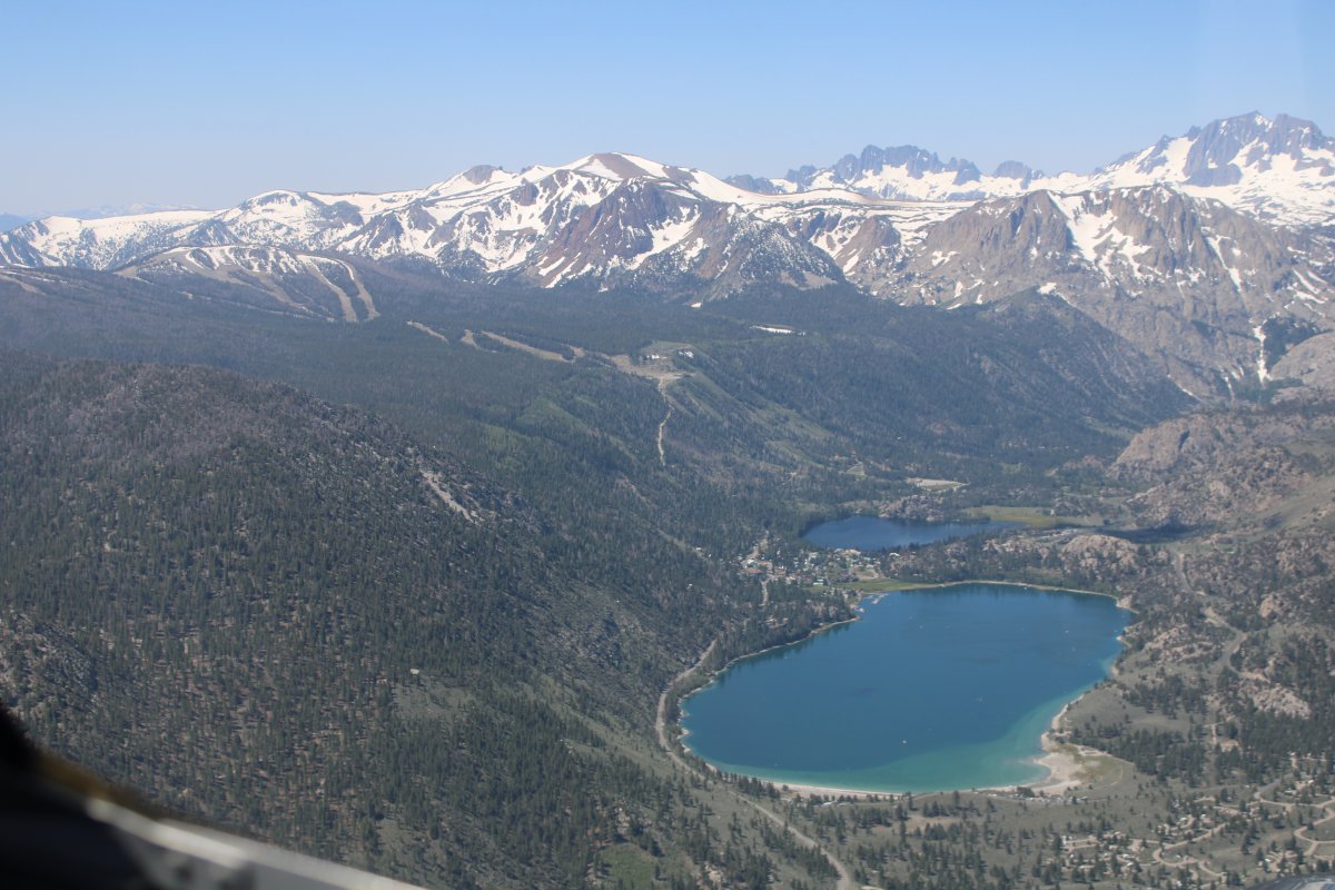
That's June Lake and June Mountain Ski Resort to the left.
|
| |
 |
|
|
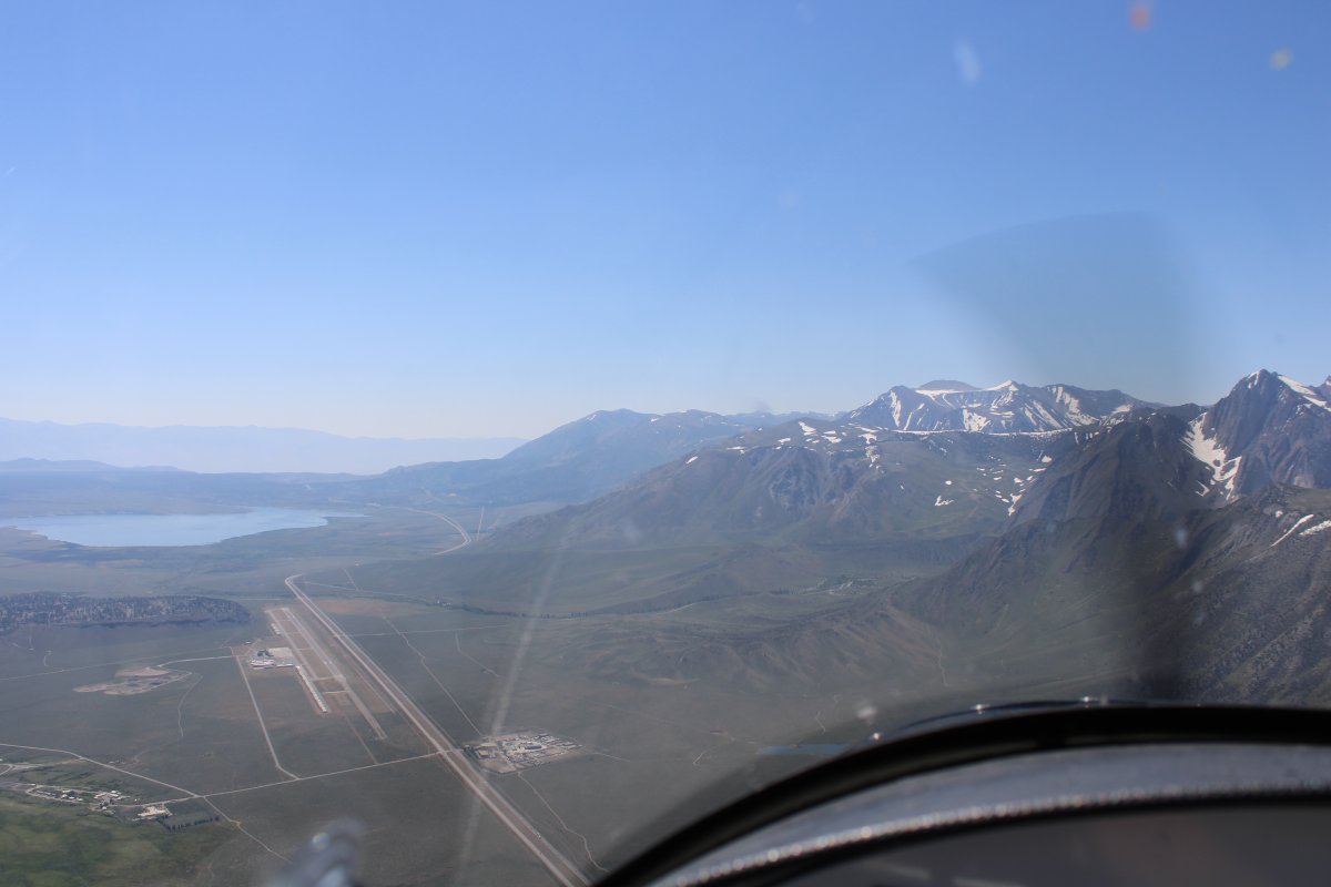
Mammoth Yosemite Airport (KMMH) dead ahead with Lake Crowley in the distance. That's I-395 down below.
The big Mammoth Mountain Ski Resort is somewhere off to my right.
|
| |
 |
|
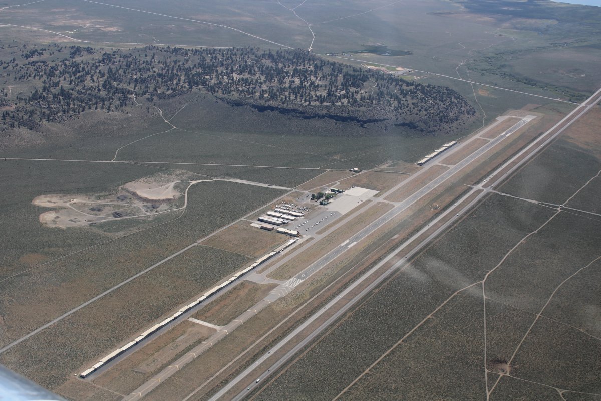
| Looking down at Mammoth Yosemite Airport. |
| |
 |
|
|
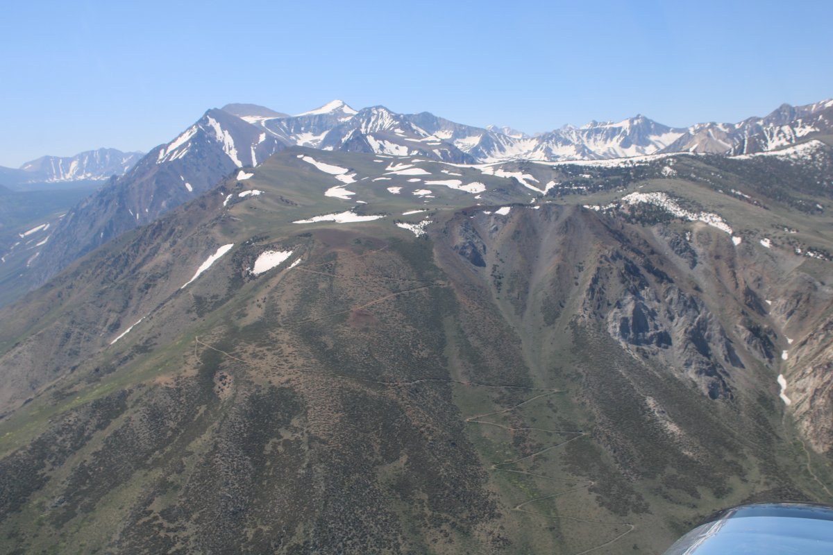
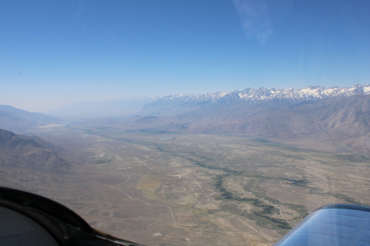
Looking up at the Sierra Nevada.
|
| |
 |
|
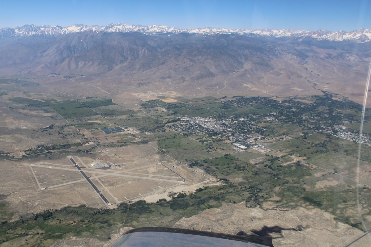
| Looking down at Bishop, California and Bishop Airport (KBIH). |
| |
 |
|
|
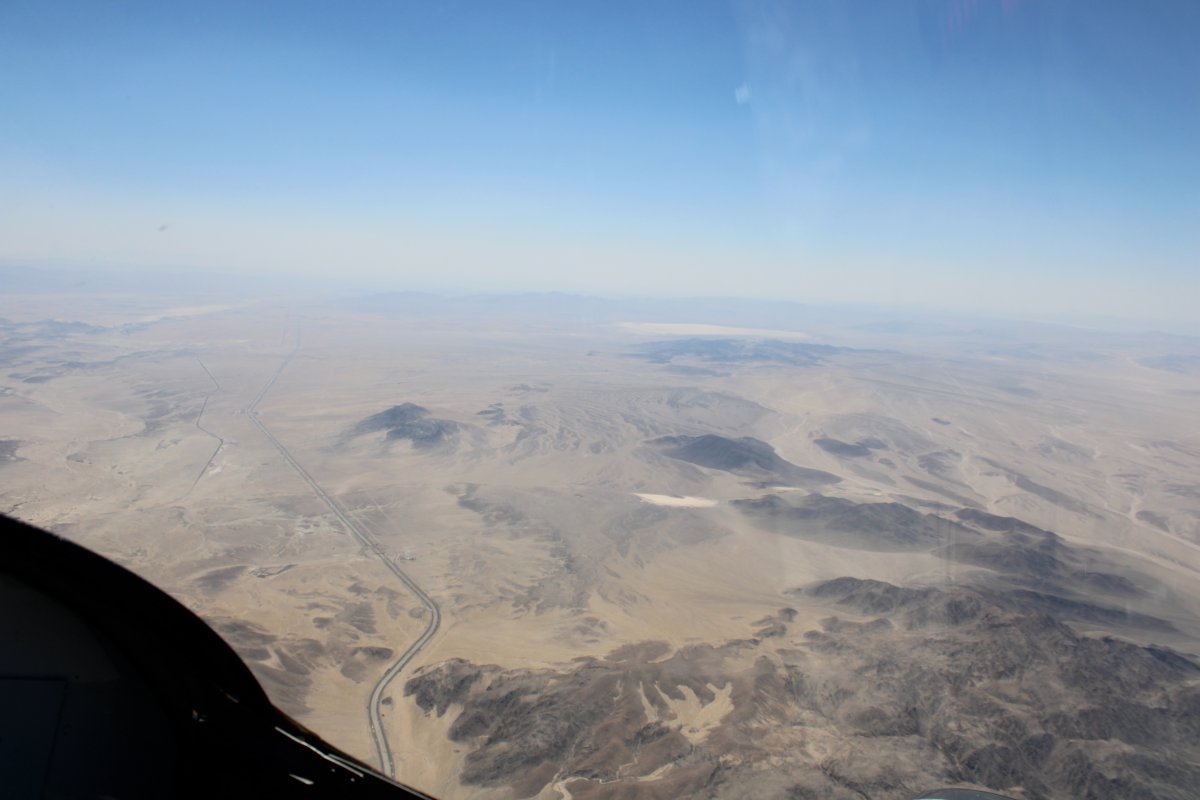
About this time, I had a decision to make. There is a lot of restricted airspace ahead. I could skirt down the right side of it, close to the Sierra Nevada mountains, all the way to Los Angeles. Or, I could angle southeast, skirt down the left side of it, land at Furnace Creek Airport in Death Valley -- lowest elevation airport in the world -- then go south to San Diego, my ultimate destination. I had never flown -- or driven, for that matter -- either route before.
I decided to head to Death Valley. I turned southeast.
Here, I'm angling away from the Sierra Nevada Mountains.
|
| |
 |
|
|
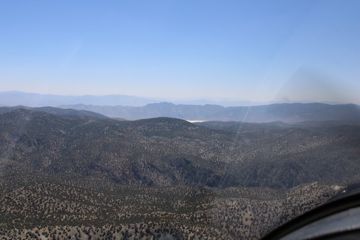
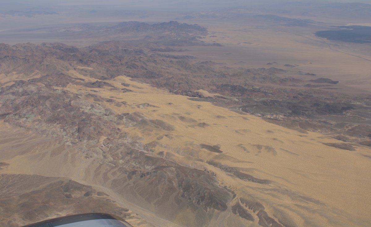
I had to cross over some mountain ridges along the way.
|
| |
 |
|
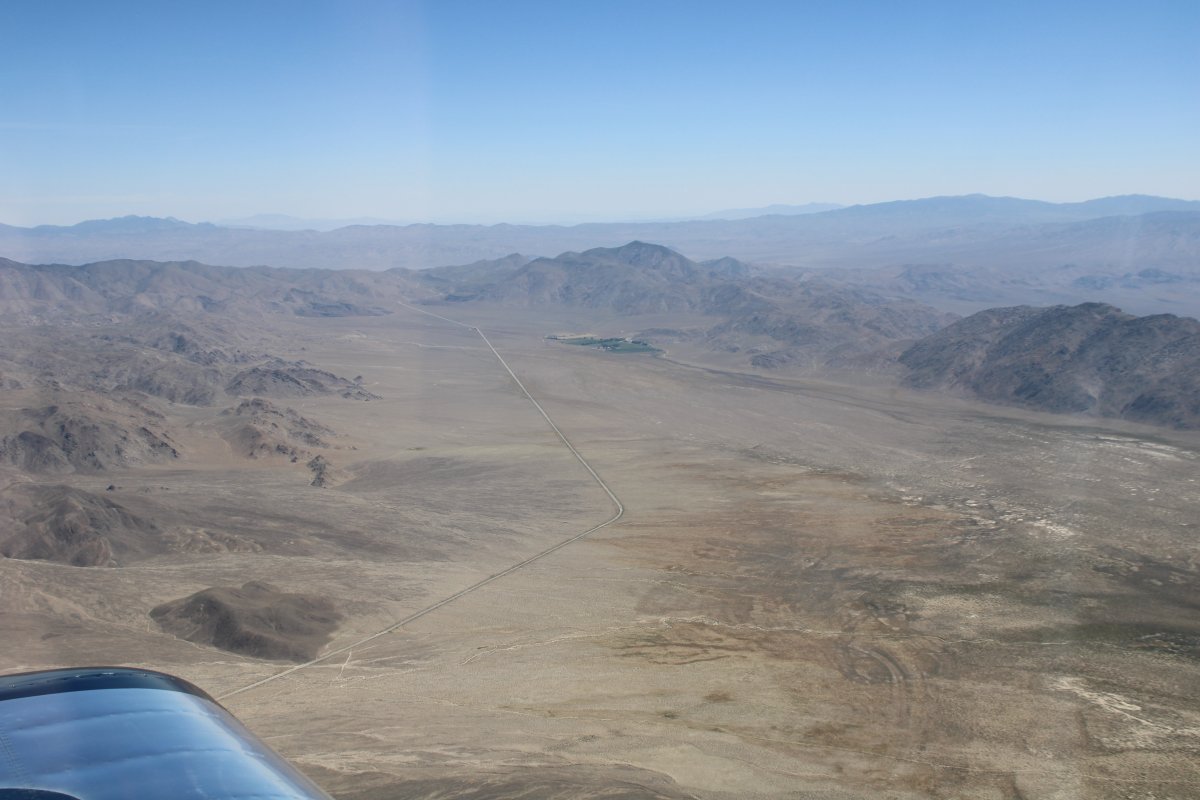
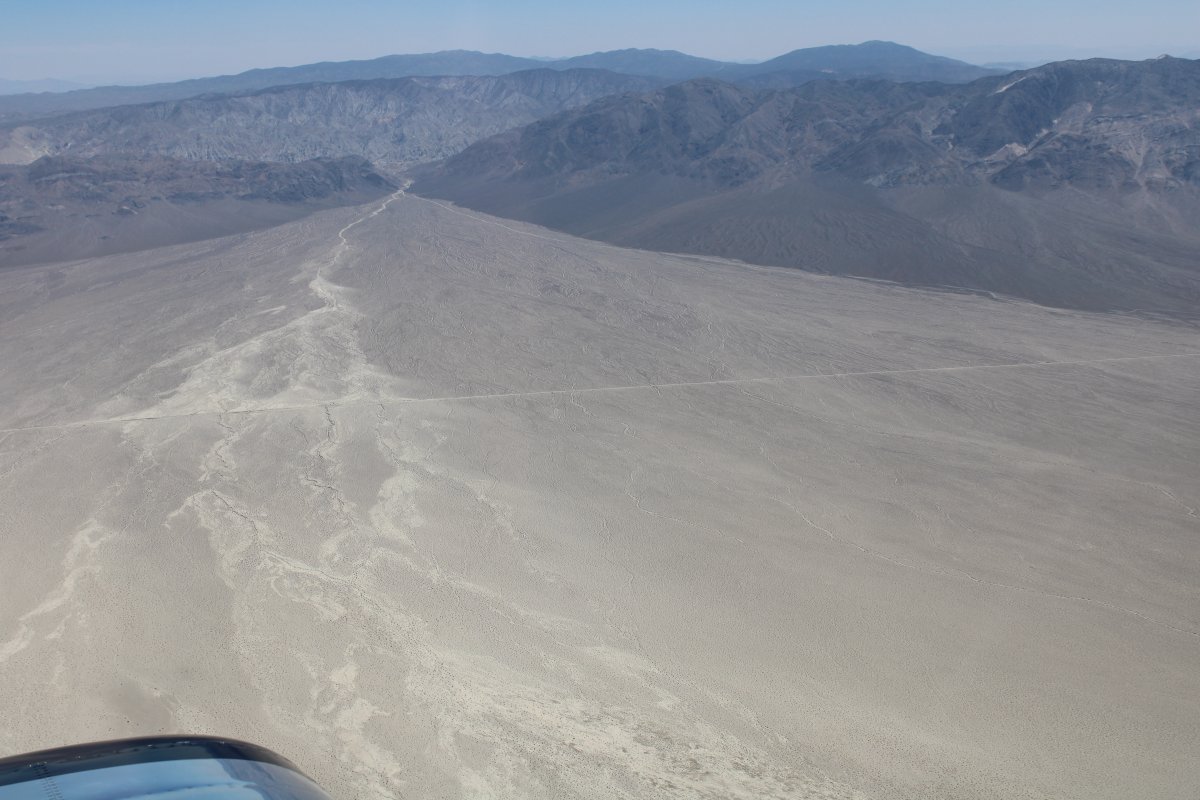
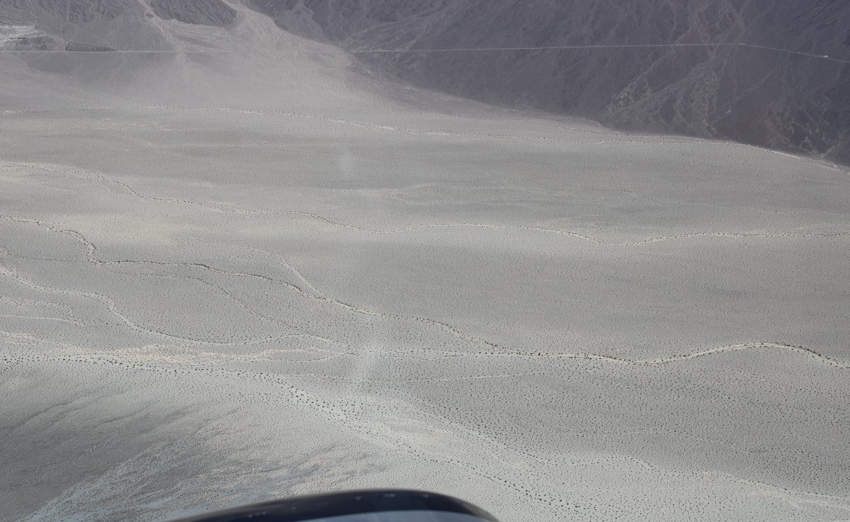
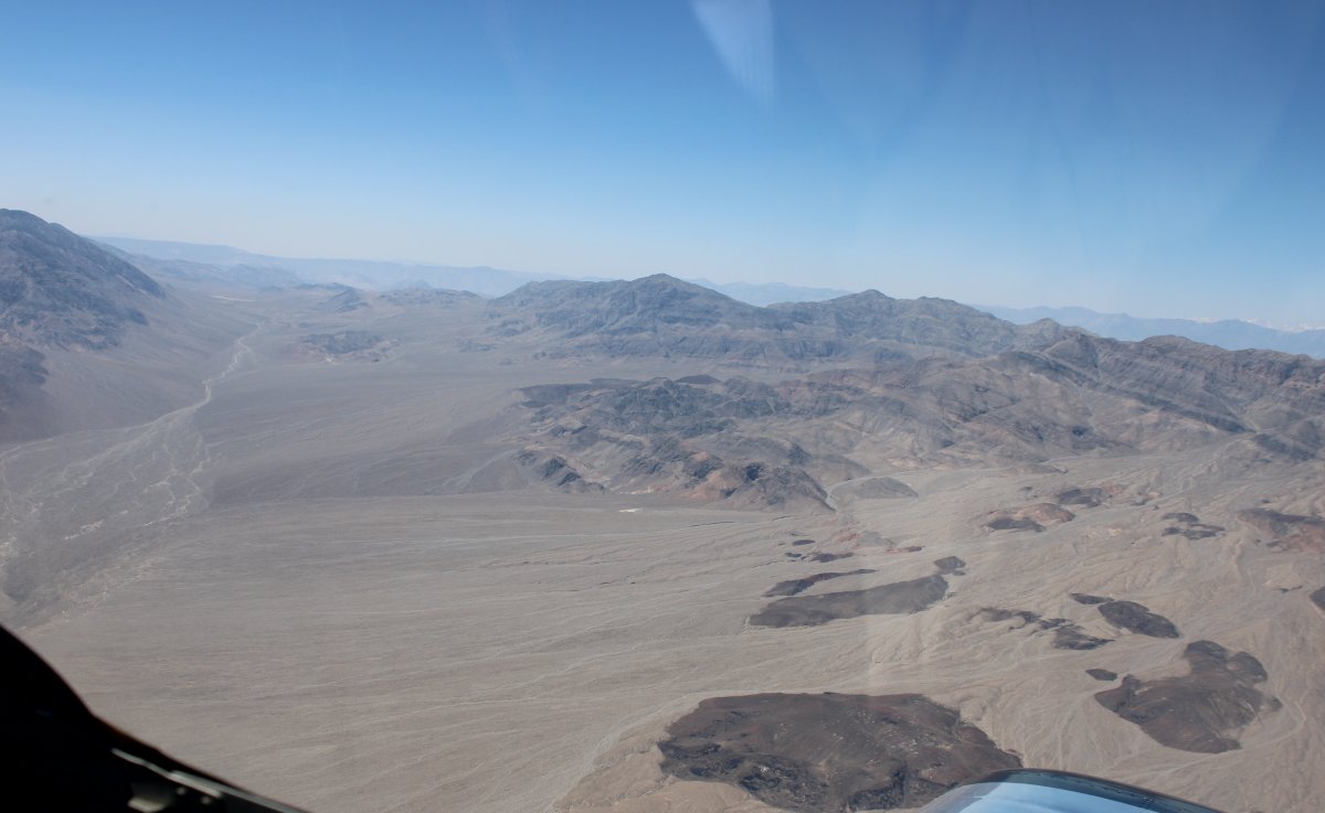
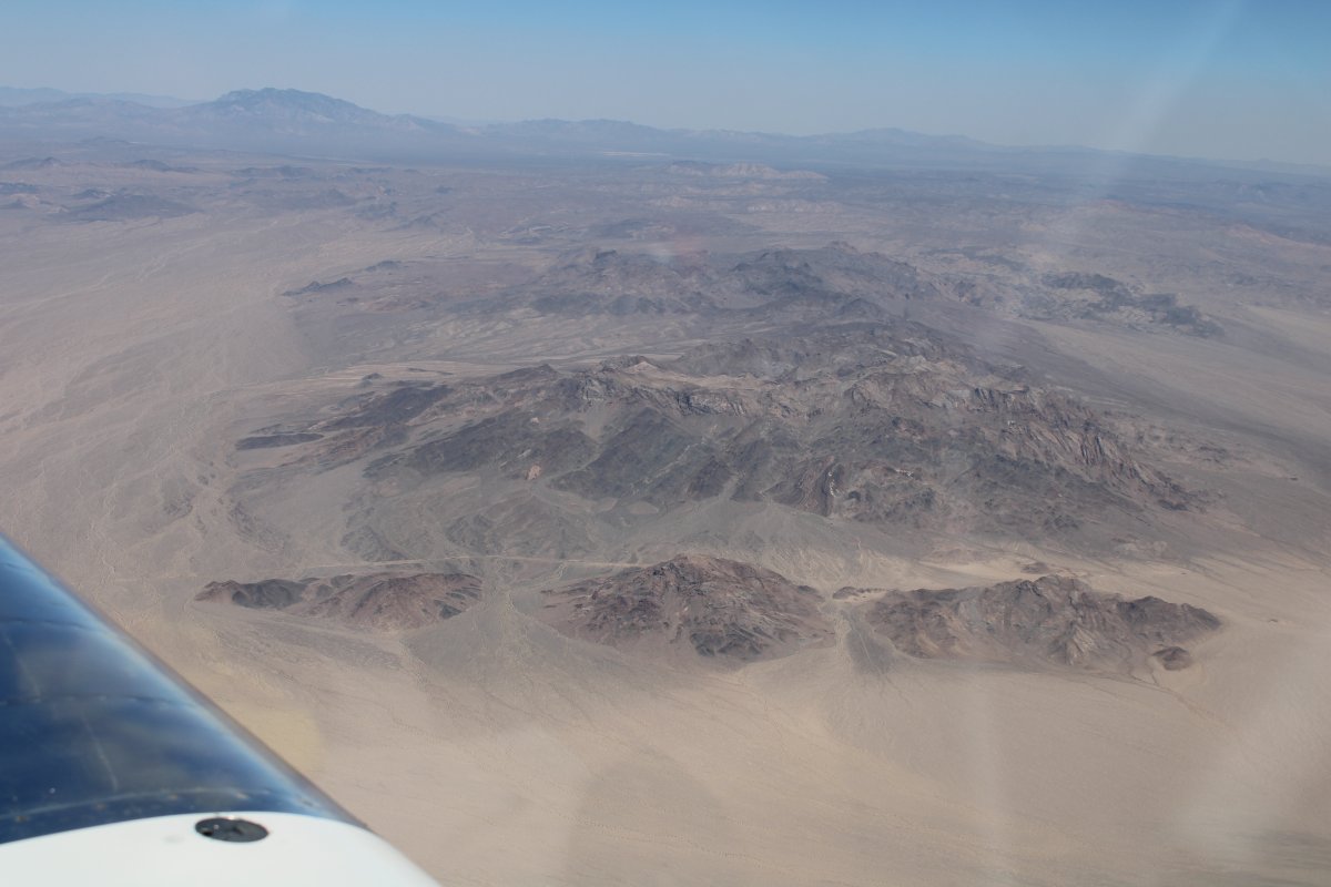
| But most of the time I was over these large desert valleys. |
| |
 |
|
|
|
| |
 |
|
| |
| |
 |
|
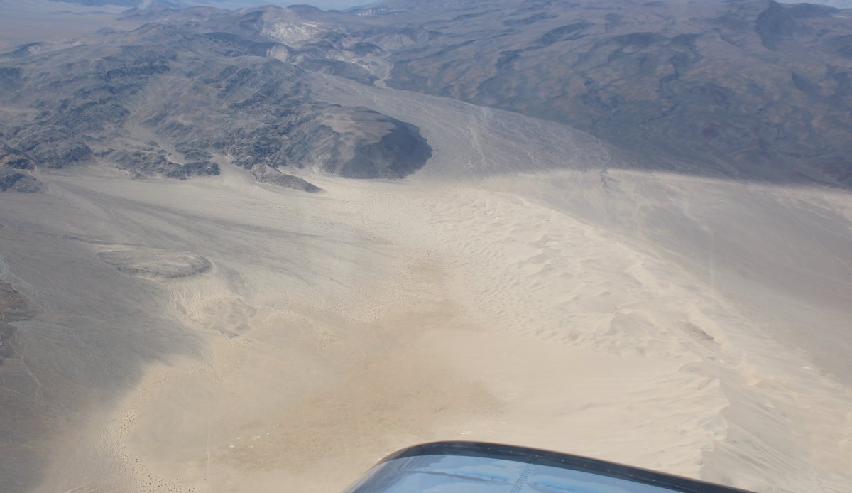
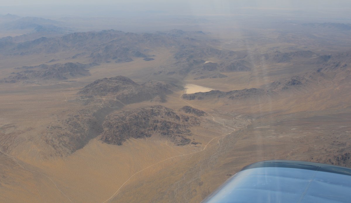
| Some serious sand dunes down there. |
| |
 |
|
| |
| |
 |
|
|
|
| |
 |
|
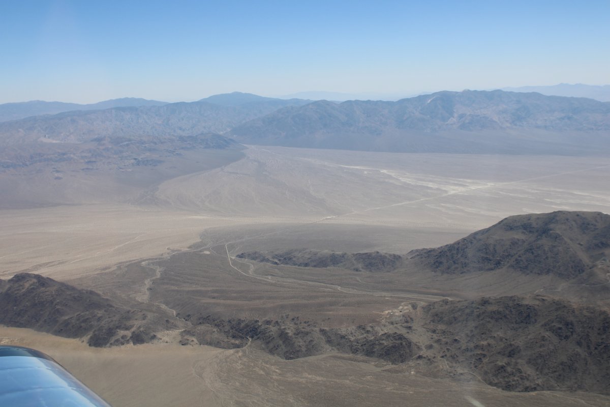
| Entering the north end of Death Valley. |
| |
 |
|
|
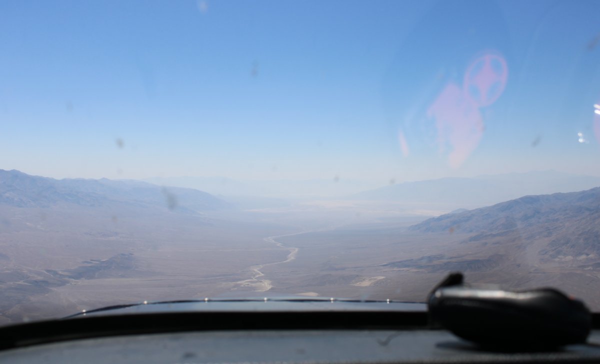
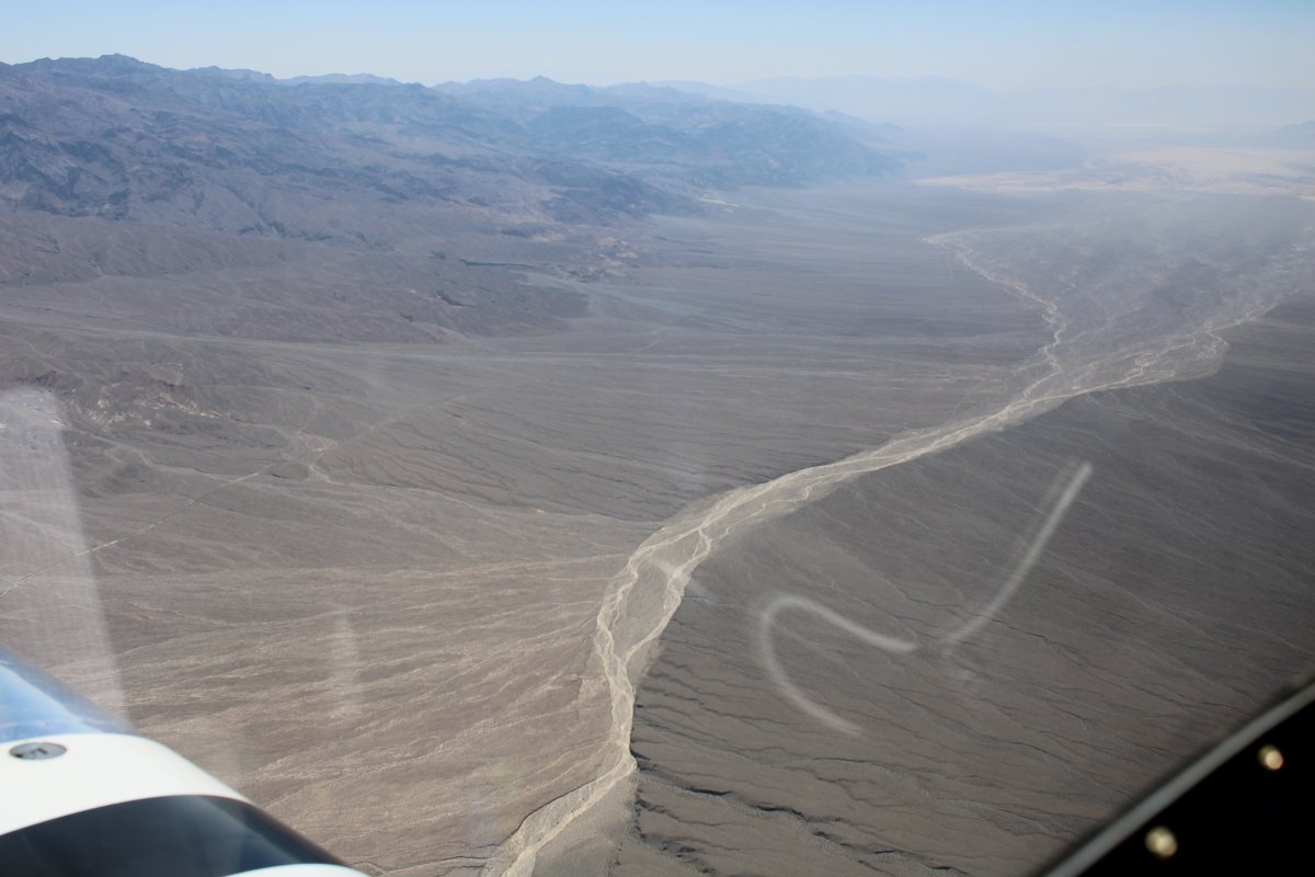
That's Death Valley Wash below. The Amargosa Range to the left.
|
| |
 |
|
| |
| |
 |
|
|
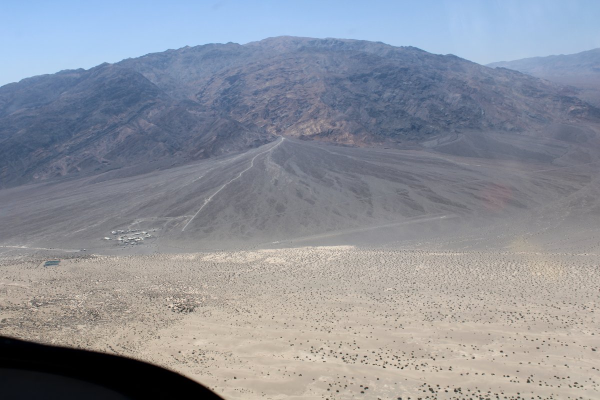
On the left of this picture is Stovepipe Wells, Death Valley, California which consists pretty much of the Stovepipe Wells Village Hotel (with pool!), Saloon, General Store, Gas Station and a Ranger Station. Plus they have an airport (L09) just to the right of the complex (no facilities). Elevation 25 ft.
|
| |
 |
|
|
I began my descent to Furnace Creek. I could feel the heat increase when I got to about 4,000 ft.
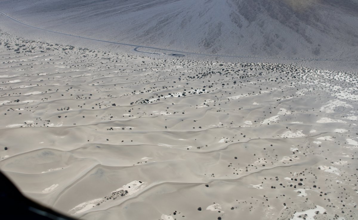
There are lots of sand dunes around Stovepope Wells.
|
| |
 |
|
|
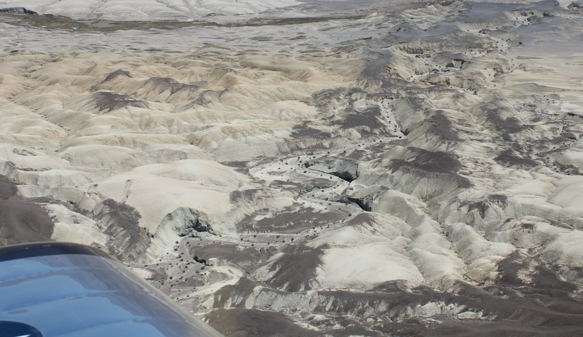
Then Badlands.
|
| |
 |
|
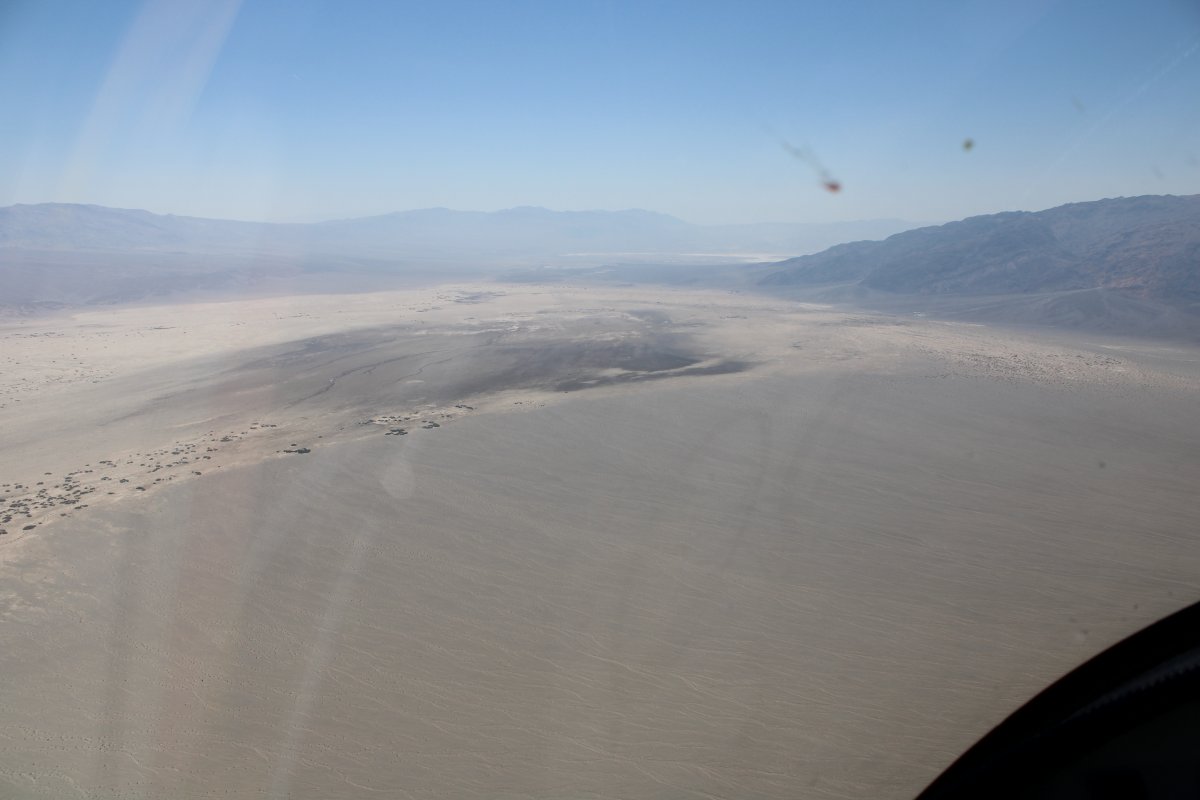
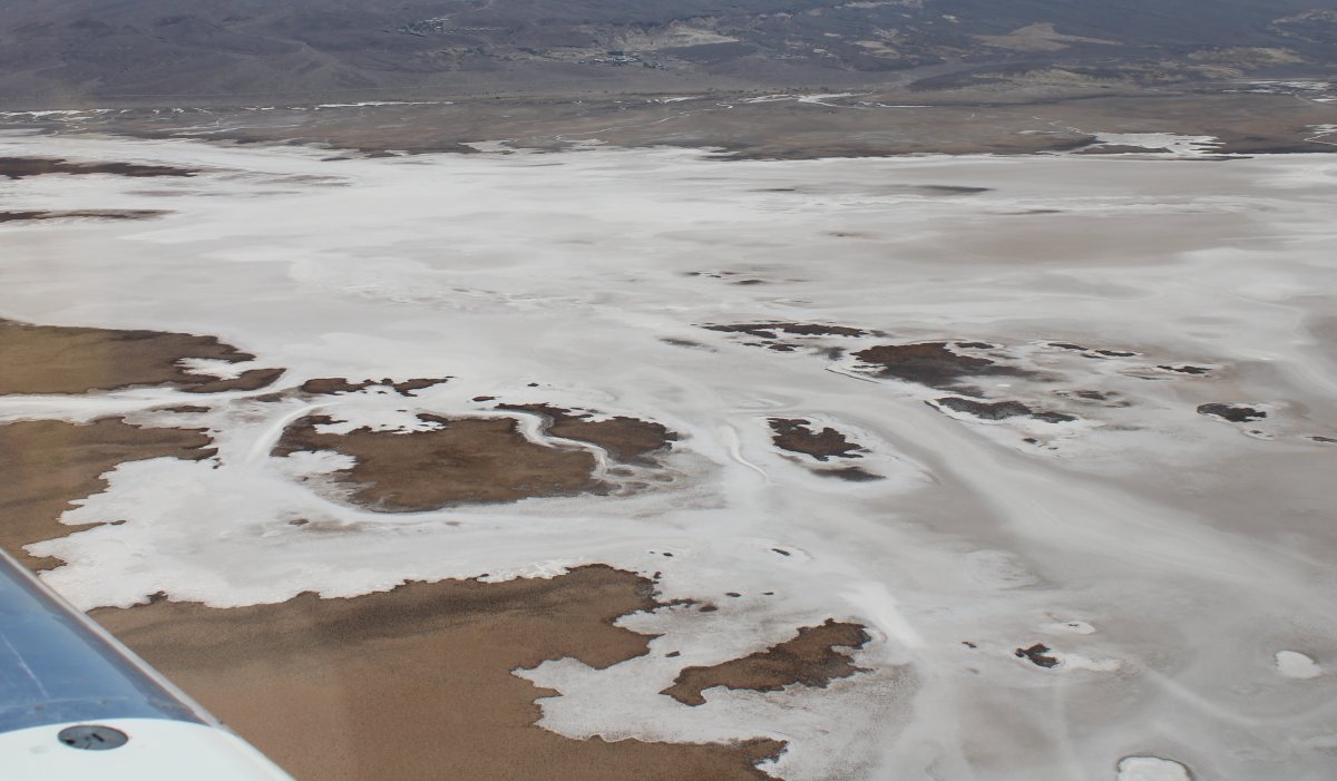
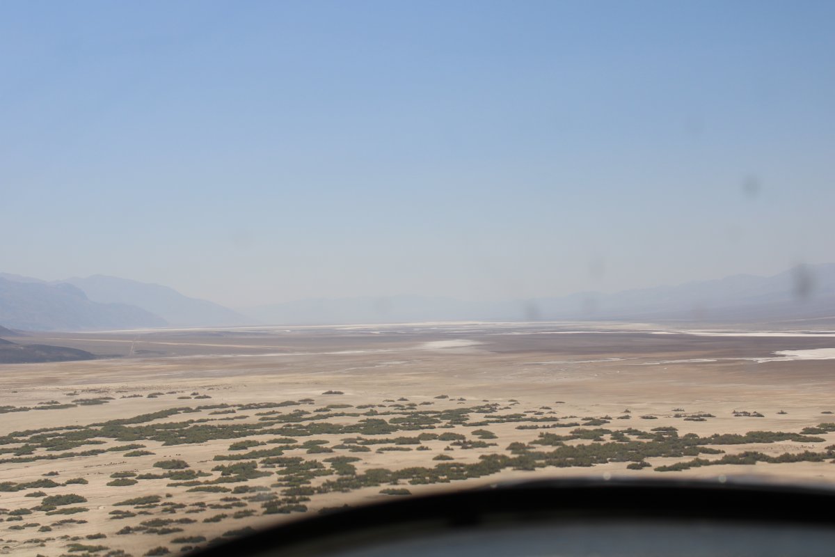
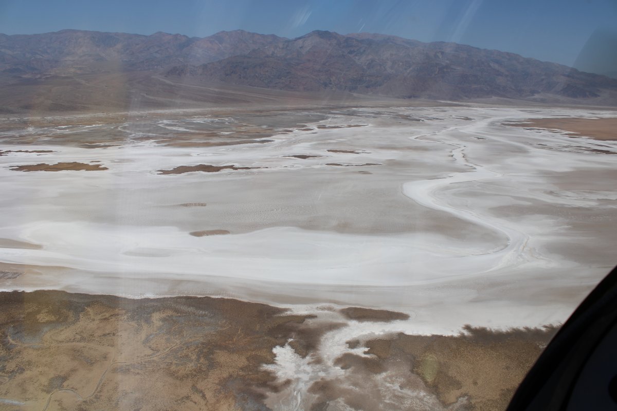
| And salt flats. |
| |
 |
|
|
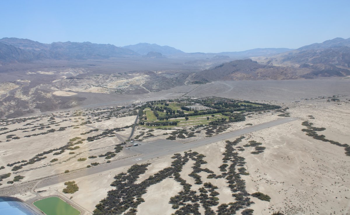
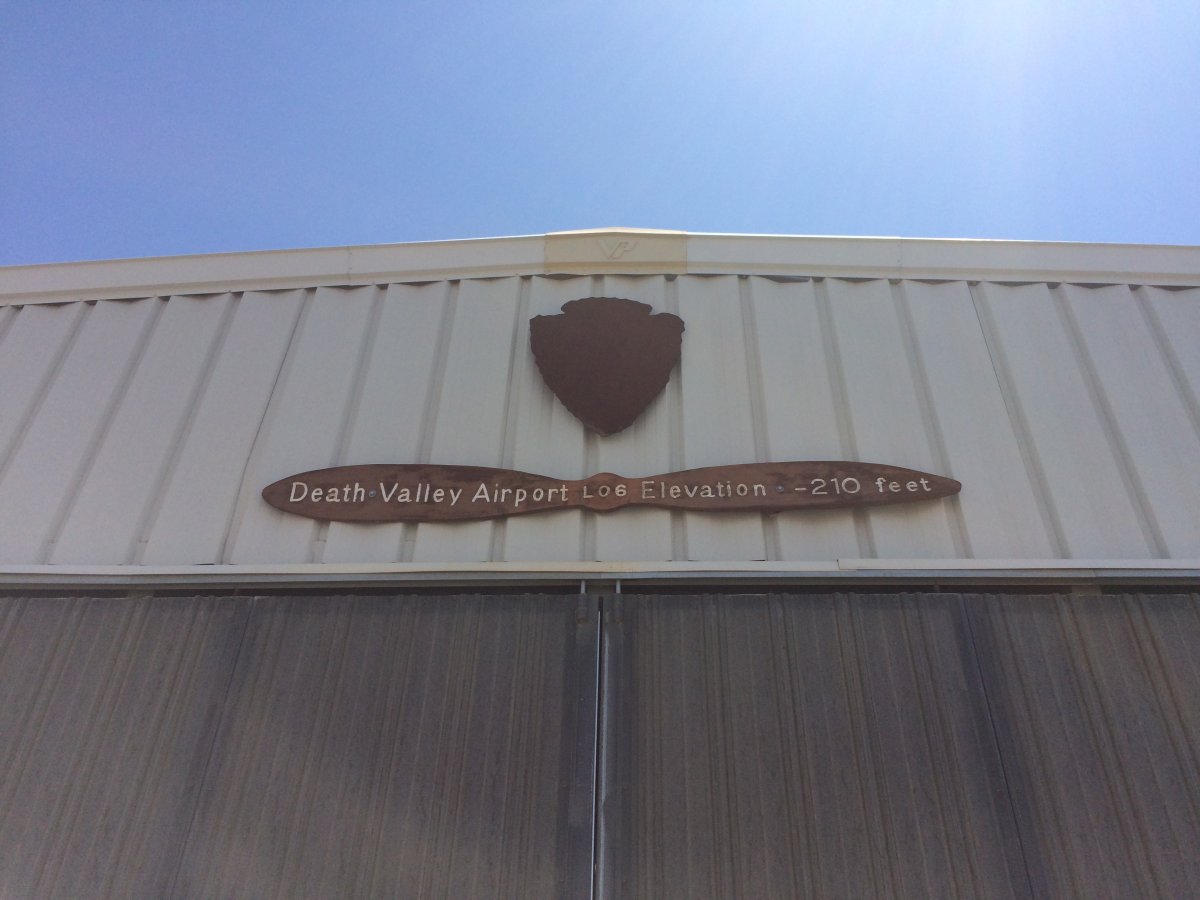
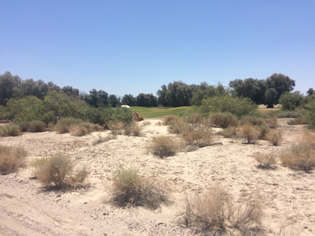
And there is the legendary Furnace Creek Airport (L06). Elevation -210 feet! I was surprised to see the nearby golf course.
The runway looks a lot longer than it is. Only half of that is useable.
|
| |
 |
|
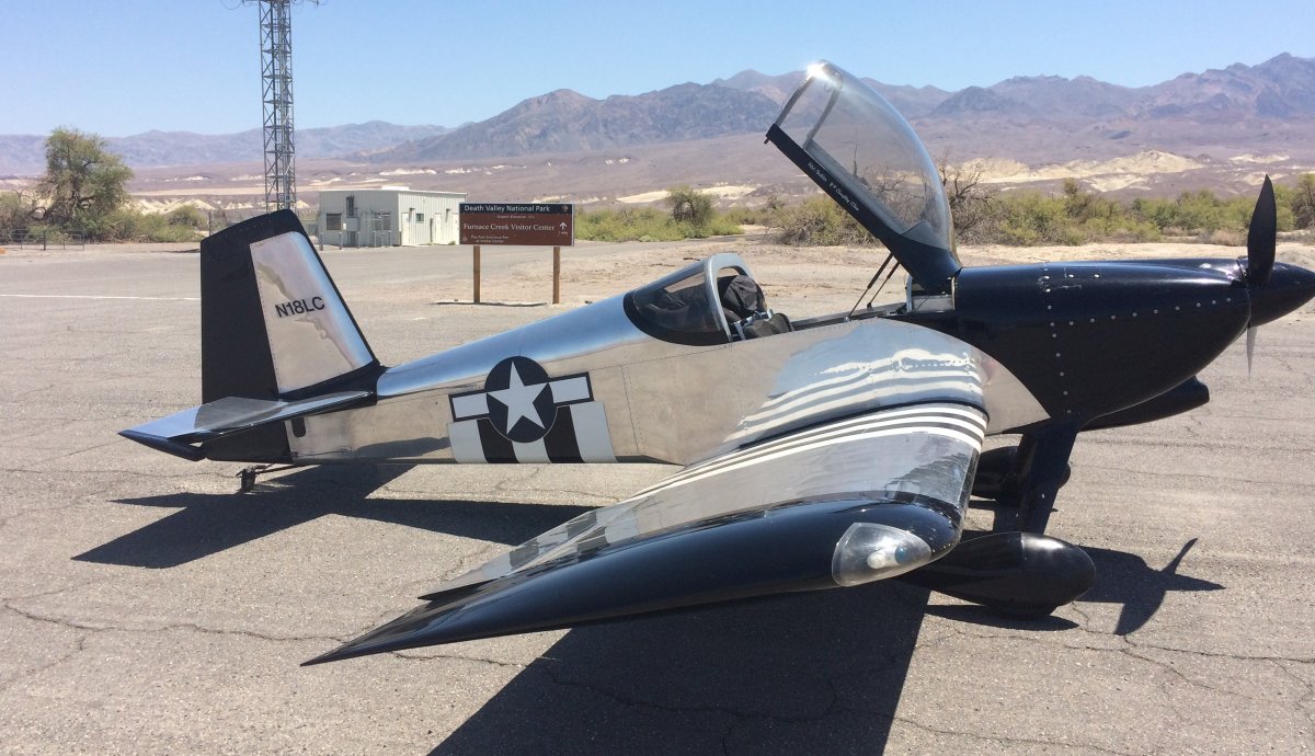
| Safe on deck at Furnace Creek airport in Death Valley. Now I can say I've landed at the lowest (here) and the highest (Leadville, Colorado). |
| |
 |
|
|
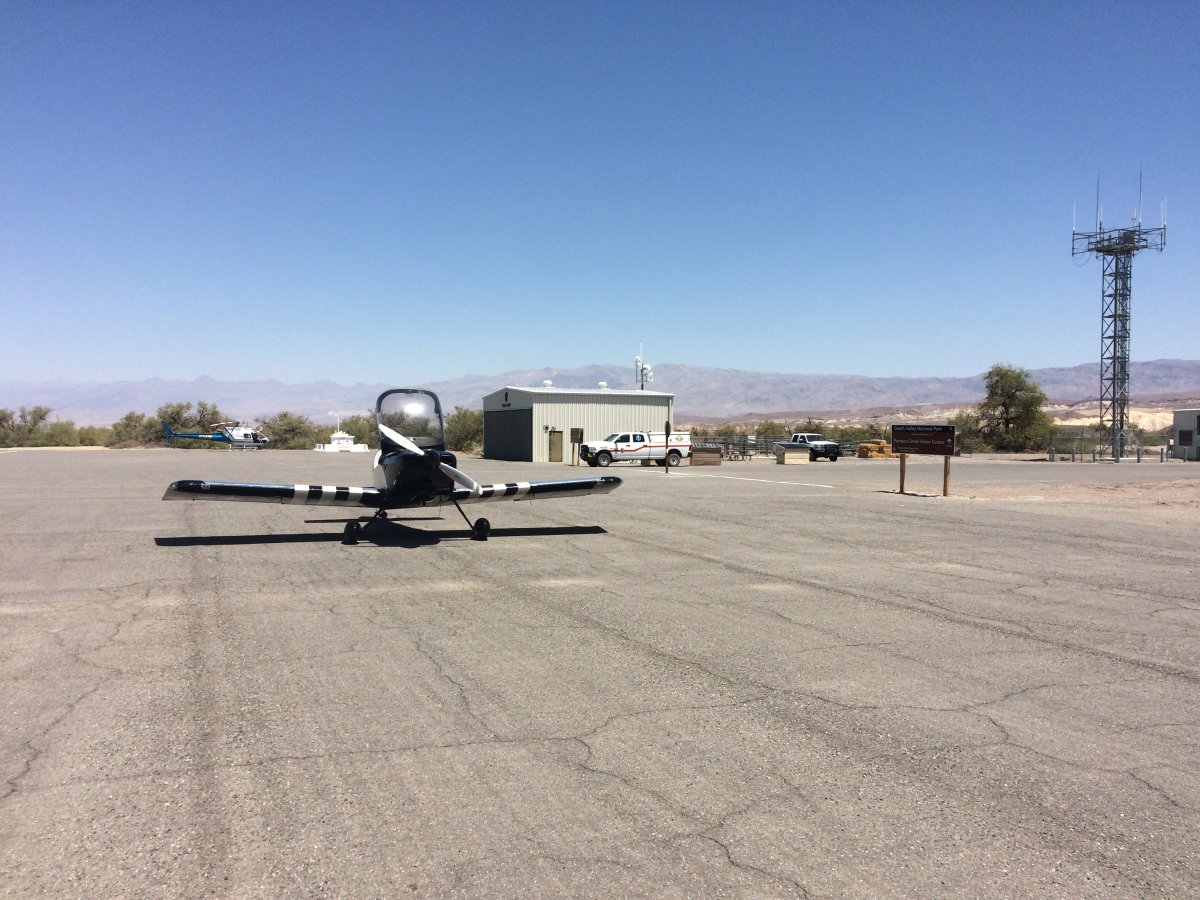
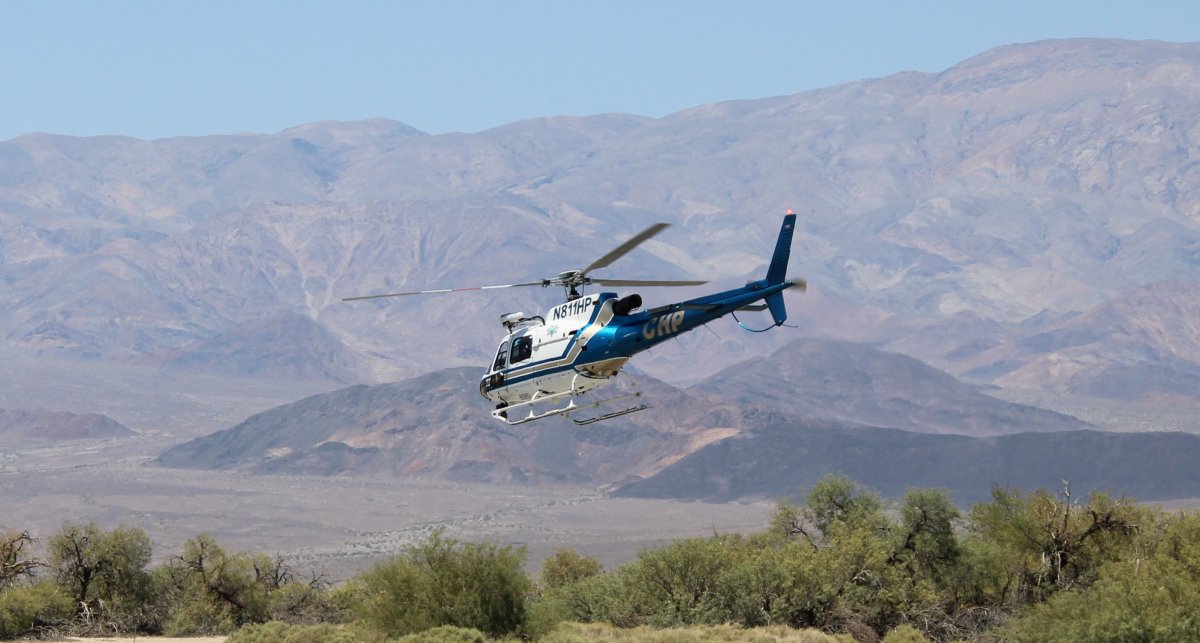
Not much out here at the airport. The hangar is locked up. But there is a bathroom in a little building to the right of that cell phone tower. There was a California Highway Patrol helicopter present when I first arrived. They asked me if I needed anything which was nice of them.
|
| |
 |
|
| |
| |
 |
|
|
I wonder what's in the hangar?
|
| |
 |
|
|
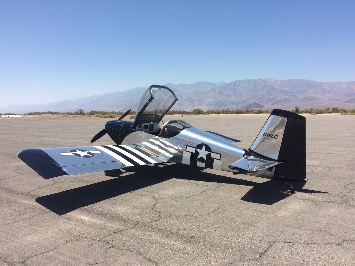
CHIPS bugs out.
|
| |
 |
|
|
My engine oil was already 220 degrees when I landed so I knew needed to let the plane sit for an hour or two to cool down before I took off again.
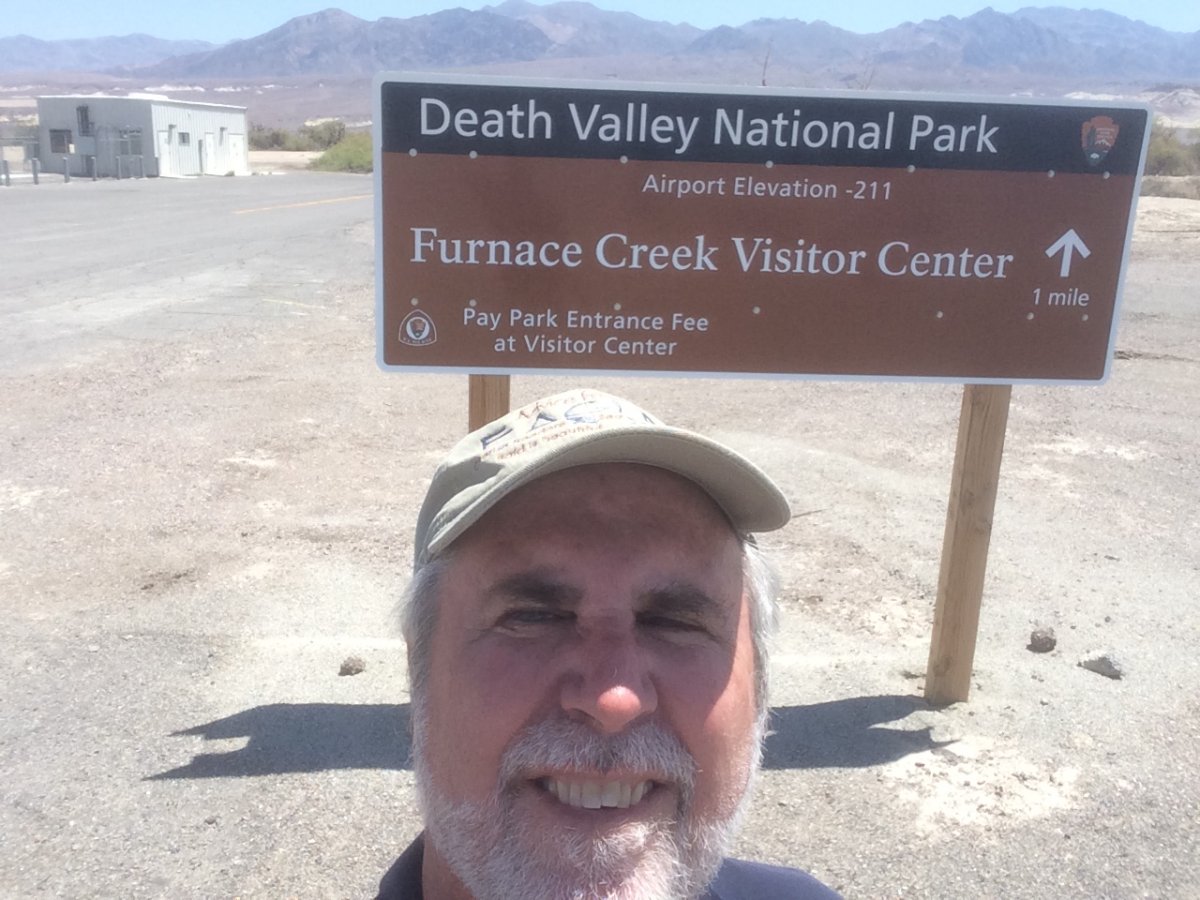
The airport was deserted but the Visitor Center was only a mile away so I decided to walk it.
|
| |
 |
|
|
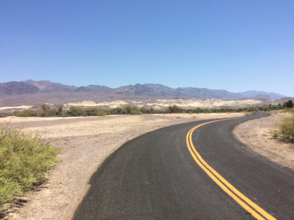
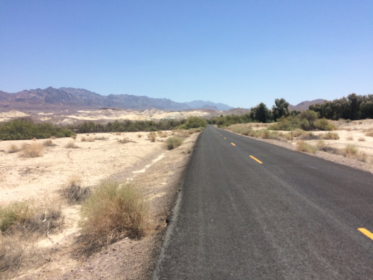
I had water and was well-coated with sunscreen, but I underestimated the power of 118 degree temperature. It was the longest mile I've ever walked!
"The Road to the Death Valley Visitor Center"
|
| |
 |
|
| Will I make it? Starting to wonder. You wouldn't last four hours out here without shelter and water. |
| |
 |
|
|
I passed the golf course but not surprisingly, no golfers were on the links.
|
| |
 |
|
|
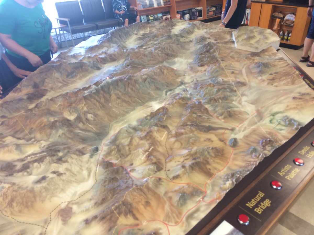
I made it to the nice, air-conditioned visitor center. Not much to it. Fell asleep during the movie.
I begged the Park Rangers for a ride back to the airport which they were nice enough to do. (They probably didn't want to deal with the paperwork of a 60-year old pilot who perished trying to walk in 118 degree heat to the airport!)
|
| |
 |
|
|
The engine had cooled down by the time I got back to the airport. But I knew I had to get as high and fast as quickly as I could before the engine got too hot.
When you are at high elevation, you have to lean the engine at start up. But since I was below sea level, I didn't think about it. When I first tried starting the engine, it wouldn't catch. I immediately realized that even though I was below sea level, the density altitude was probably 7,000 feet! So I leaned the engine some and then it started right up.
On climbout after takeoff, I took the engine right up to red line on oil temp (245F) and CHT (400F) and was just able to get high enough to level out, build up speed, and cool the engine back down. Then I gradually worked my way up higher. Still, I hated to push the engine that hard. My strong advice would be to only land at Furnace Creek when it is less than 100 degrees or less ground temp.
|
| |
 |
|
| Flying south over the salt flats in Death Valley. Despite the heat, it's a very beautiful place from the air. I wouldn't mind coming back when it was cooler. (if that ever happens) |
| |
 |
|
| Up high where the air is cool. |
| |
 |
|
|
I had to continue southeast to avoid the restricted airspace, but then was able to turn southwest towards San Diego. I think that's I-15 down there.
|
| |
 |
|
| Flying roughly the same direction as I-15. |
| |
 |
|
|
I-15 goes to LA but I'm going to San Diego so I angle more to the southwest.
|
| |
 |
|
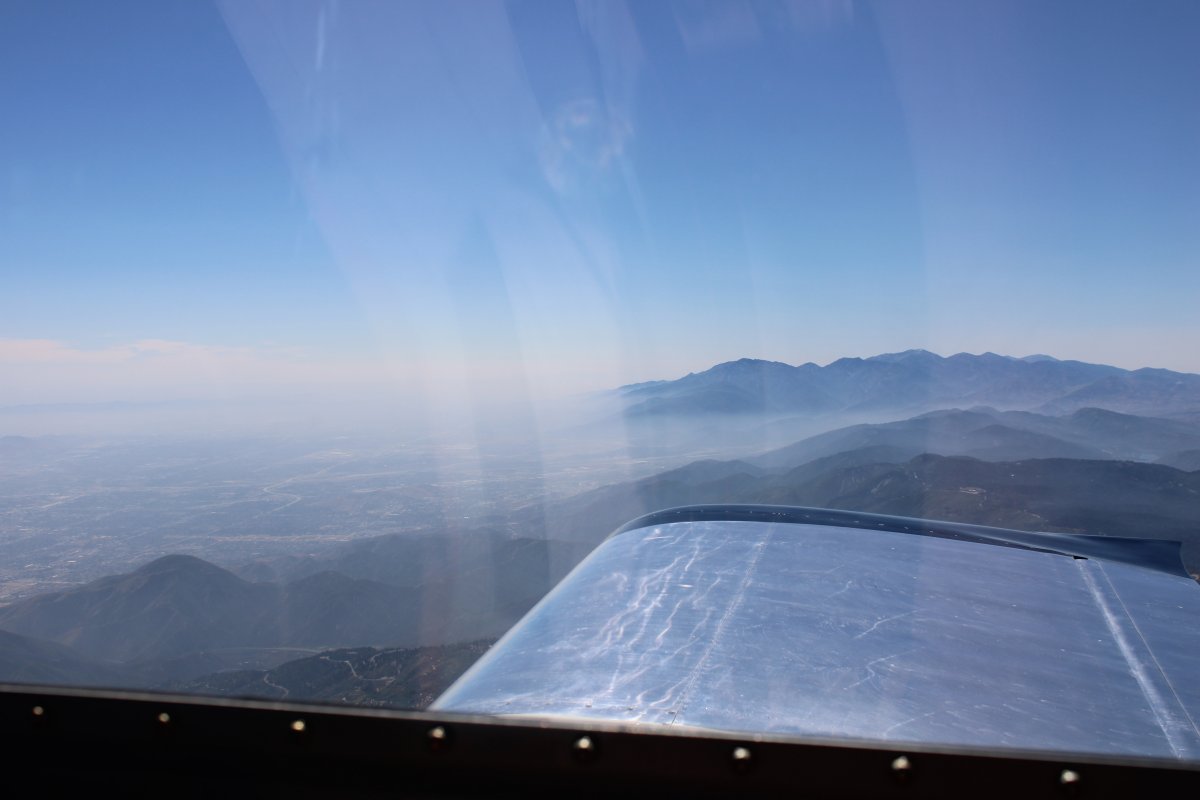
| Hard to believe such serious desert is so close to the major cities of LA and San Diego. |
| |
 |
|
| |
| |
 |
|
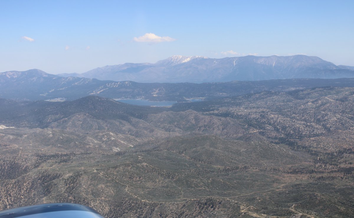
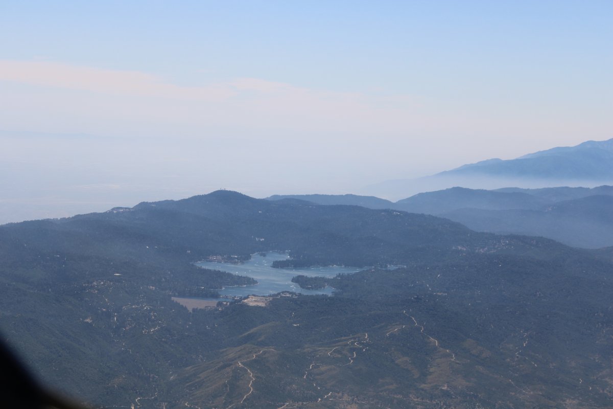
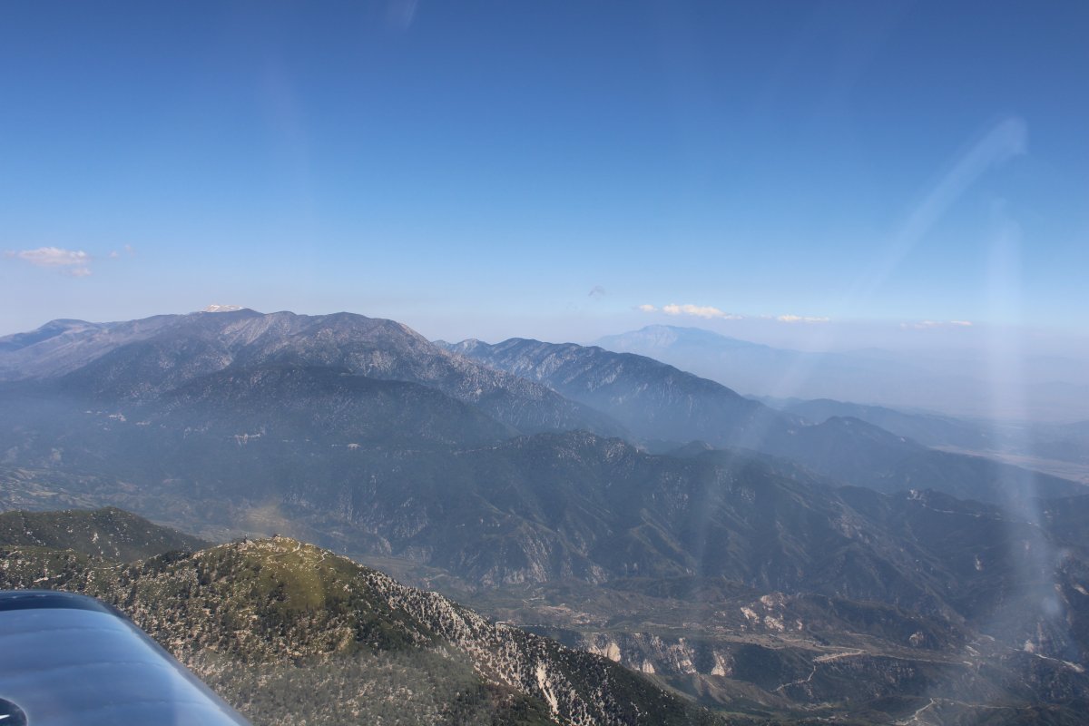
| I've never flown down here in SoCal before so I was surprised by the high mountains I had to transit to get to the coastal area. Here I'm looking southeast. That's Big Bear Lake in the foreground with Sugarloaf Mountain in the background. |
| |
 |
|
| High mountain lake. Lake Arrowhead, I think. |
| |
 |
|
|
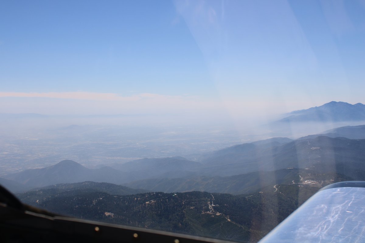
Descending into the hazy coastal area.
|
| |
 |
|
| Coming out of the mountains. That might be San Gorgonio Mountain in the distance. |
| |
 |
|
| |
| |
 |
|
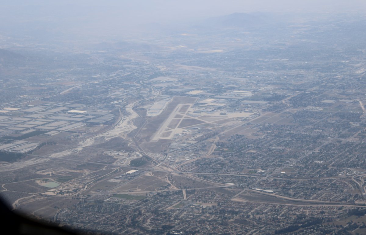
| Passing by San Bernardino International Airport. |
| |
 |
|
|
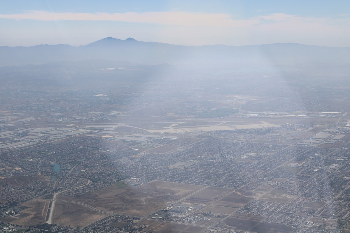
Passing by March Air Force Base.
|
| |
 |
|
|
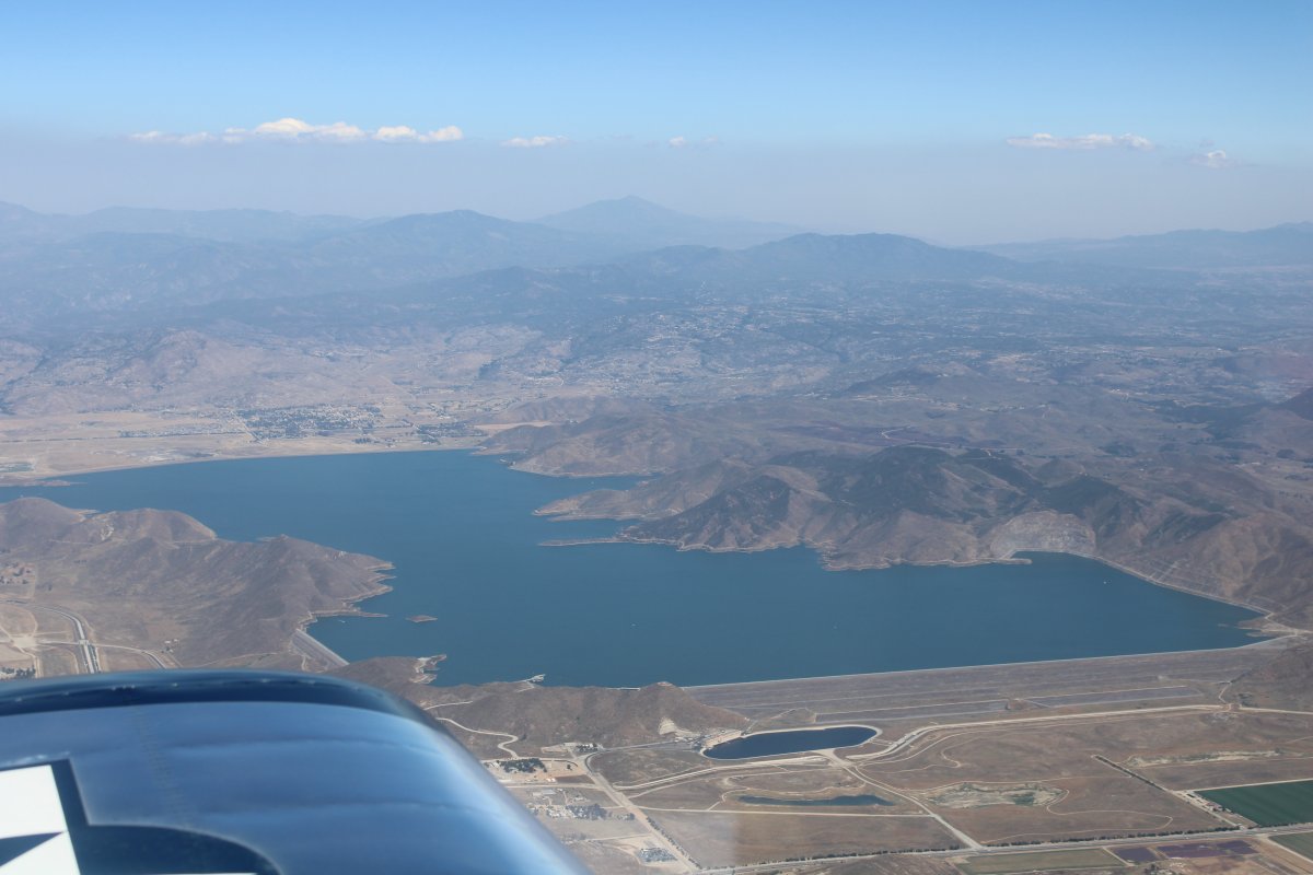
Diamond Valley Lake
|
| |
 |
|
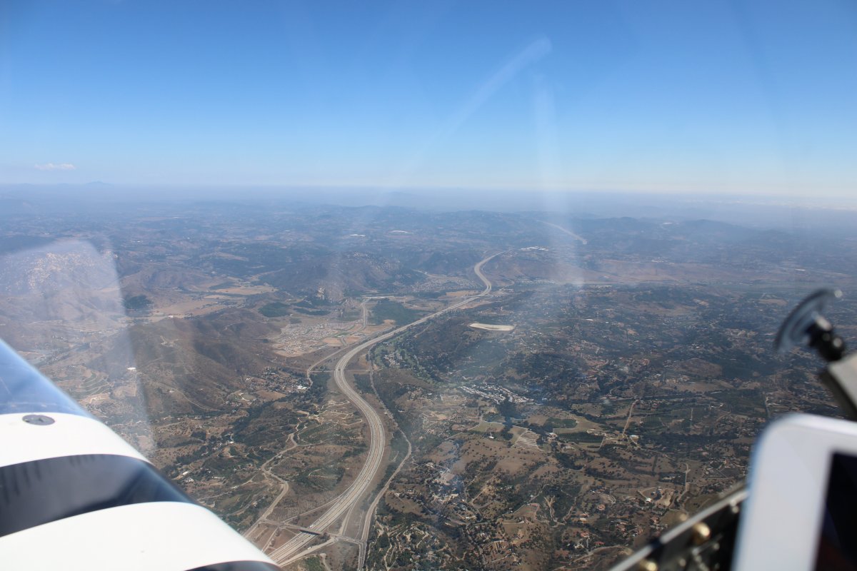
| Following I-15 into the San Diego area. |
| |
 |
|
|
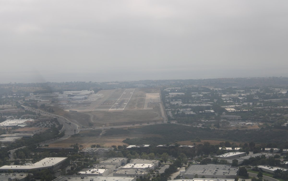
And there is my destination: McClellan-Palomar Airport (KCRQ) in Carlsbad, California which is right on the coast. But it is so hazy you can hardly see the Pacific Ocean.
|
| |
 |
|
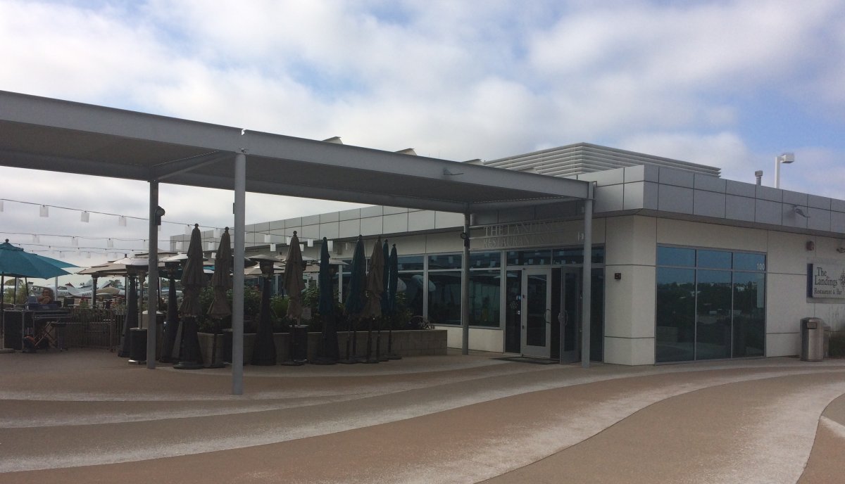
| My friend "The Bro" lives in Carlsbad and I would be staying at his house for a few days. McClellan-Palomar has an on-field restaurant bar called The Landings at Carlsbad Airport, so the Bro and I headed there for a few cool ones -- which tasted pretty darn good after Death Valley -- and some appetizers. This was an upscale airport restaurant. The food was outstanding. They even have live entertainment in the evening. Recommended! |
| |
 |
|
|
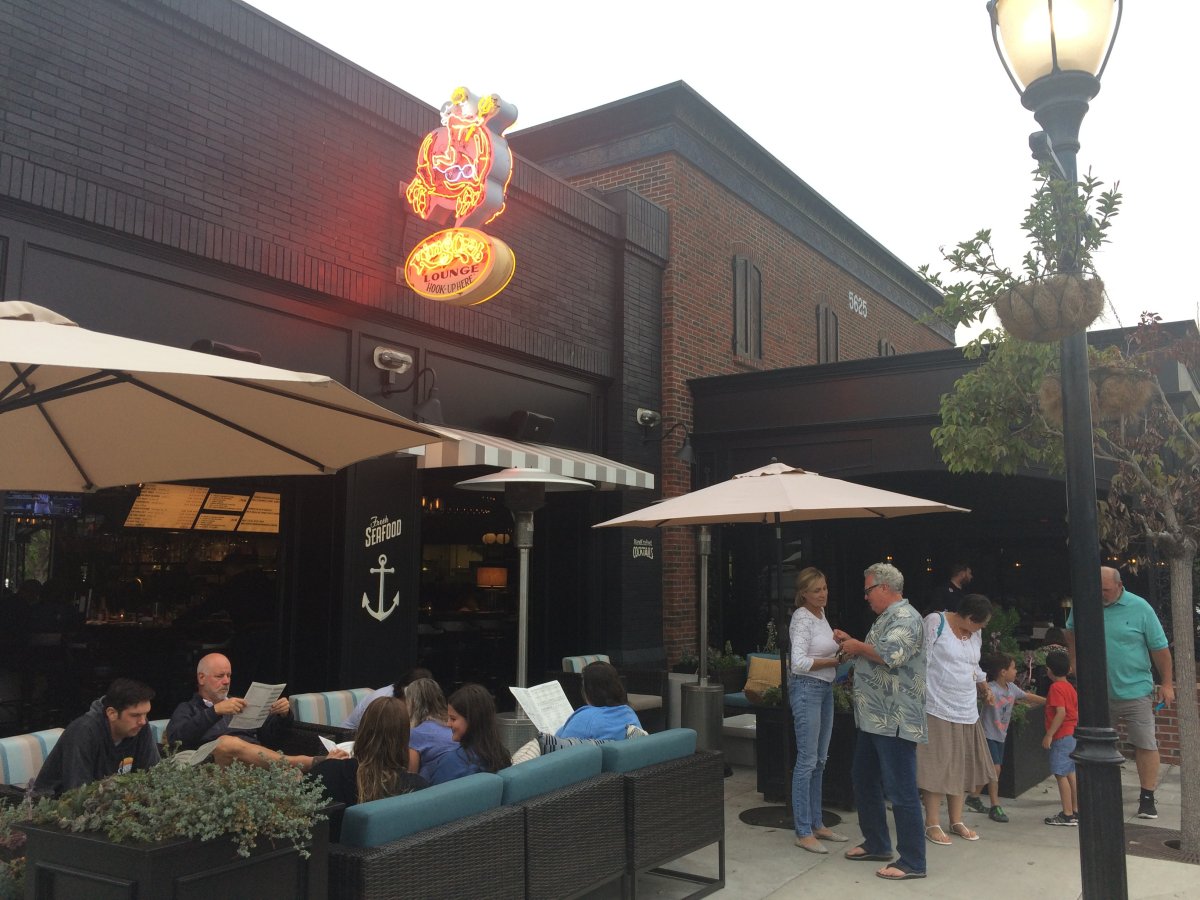
Then we met Bro's better half -- Andrea -- at the King Crab Lounge for dinner. Neat place, great food. I think I'm going to like Carlsbad! That's Andrea and Bro standing to right of center.
|
| |
 |
|
| |
| |
|
|
|
|
|
|