June 29, 2019 - Flight West - Day Four Part I
|
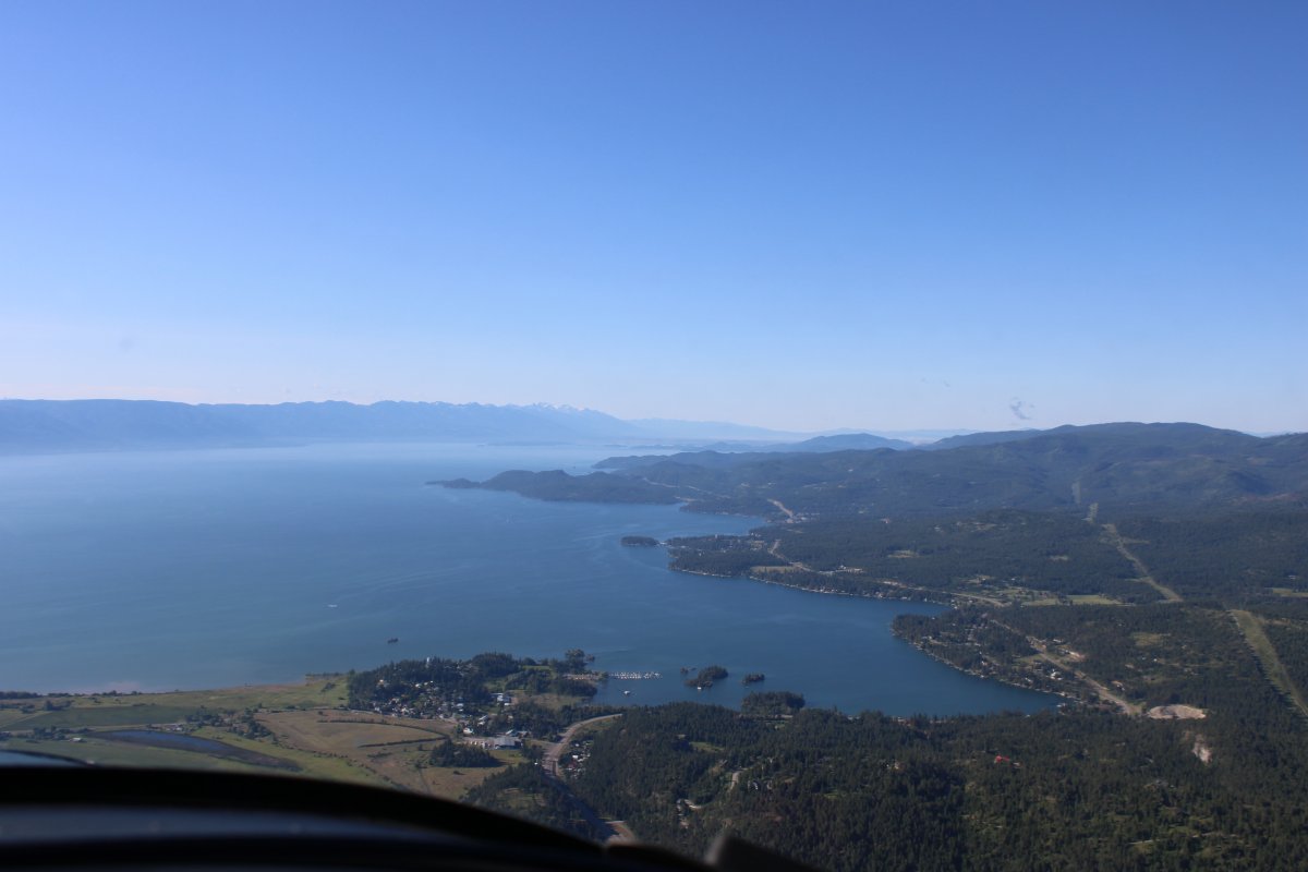
| While I was getting my plane ready for the day's adventure I talked with a local pilot who suggested a route through the mountains to get to Seattle. I took his advice and it worked out very well. I started the trip by flying down the west side of big Flathead Lake. |
| |
 |
|
|
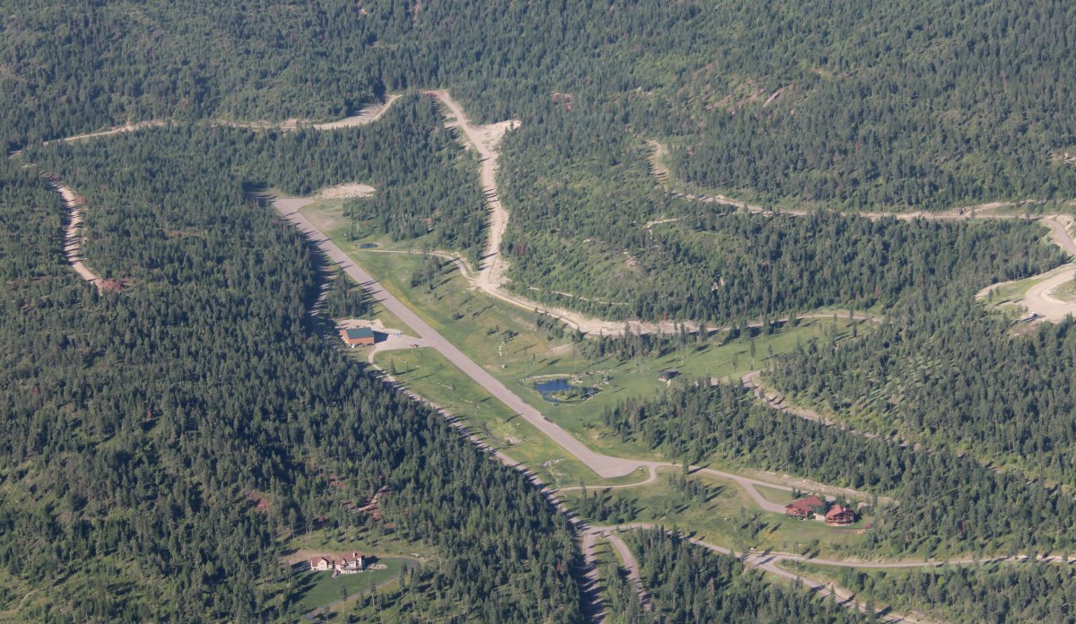
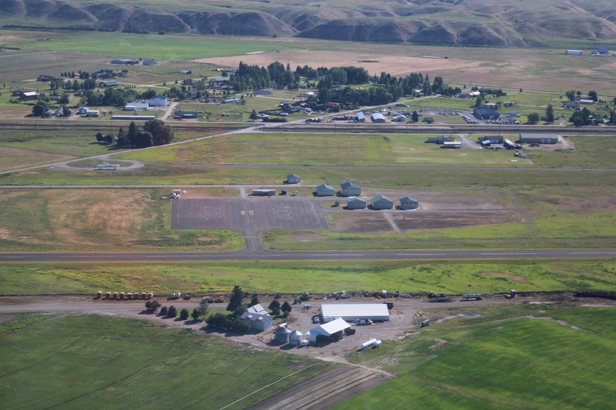
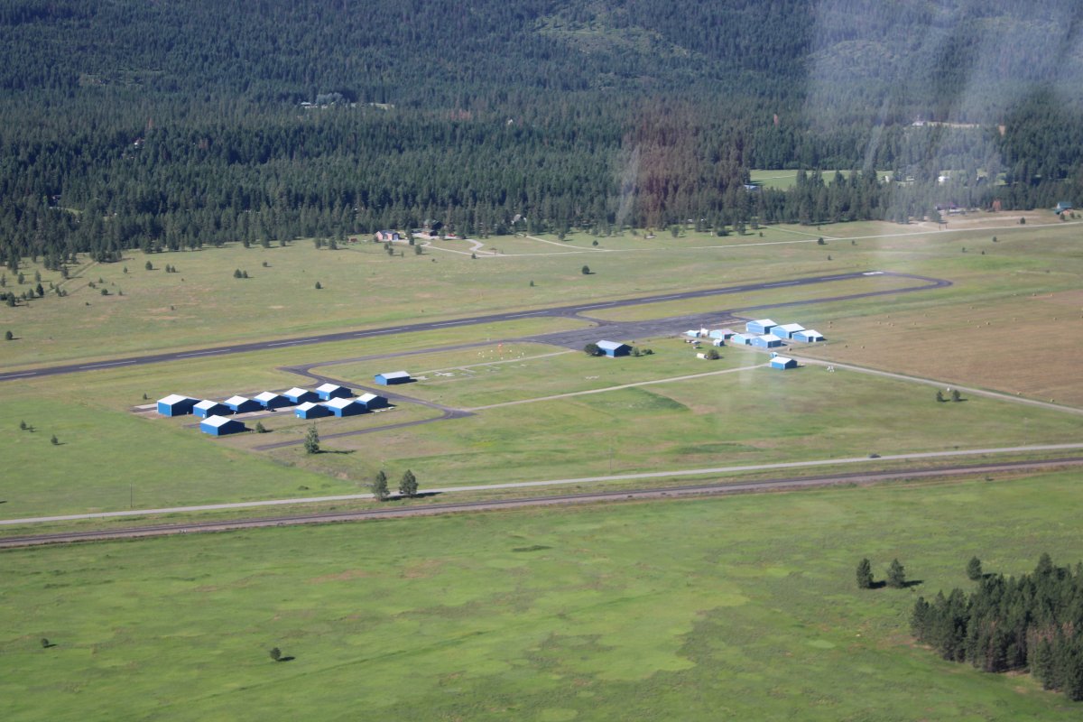
Passing by a little private airport. Nice.
|
| |
 |
|
| An island on the west side of Flathead Lake. The air was calm and cool early in the morning. |
| |
 |
|
|
At the southern end of Flathead Lake is Polson Airport (8S1). A number of people were flying out of here this morning including a SeaRey amphib.
|
| |
 |
|
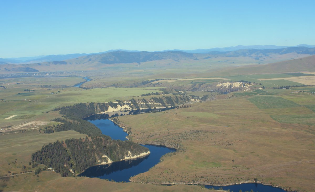
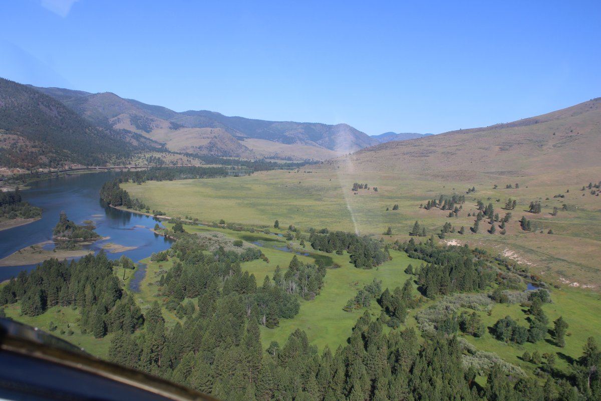
| I continued south following, you guessed it, the Flathead River. |
| |
 |
|
| My camera must have been on a wrong setting because the pictures didn't capture how beautiful the river was this morning. Surprisingly, there was little to no civilization on the river making it even better. |
| |
 |
|
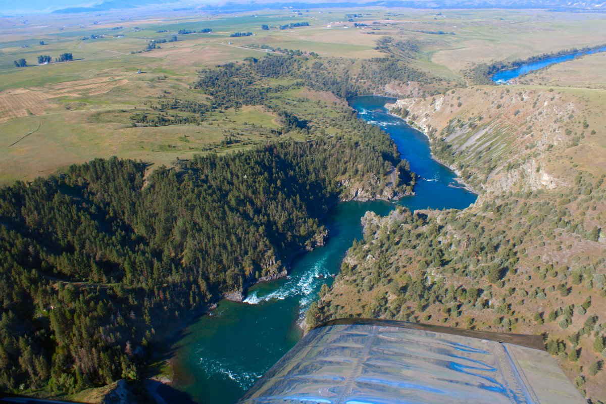
| Yanking and banking over the Flathead River. |
| |
 |
|
|
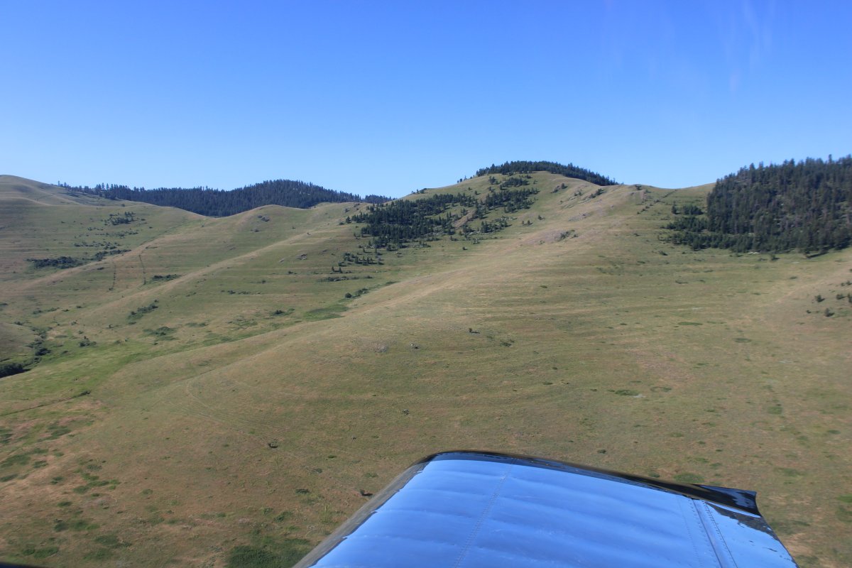
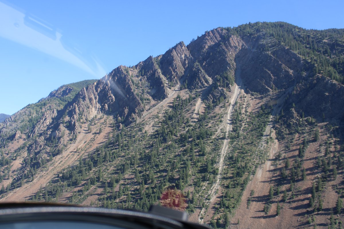
Beautiful country.
|
| |
 |
|
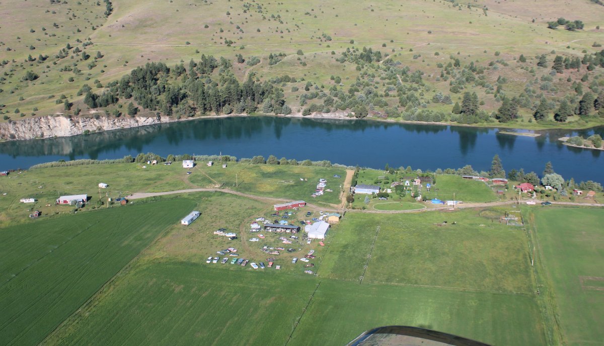
| And then I came to this junkyard on the side of the river. Come on, man! |
| |
 |
|
|
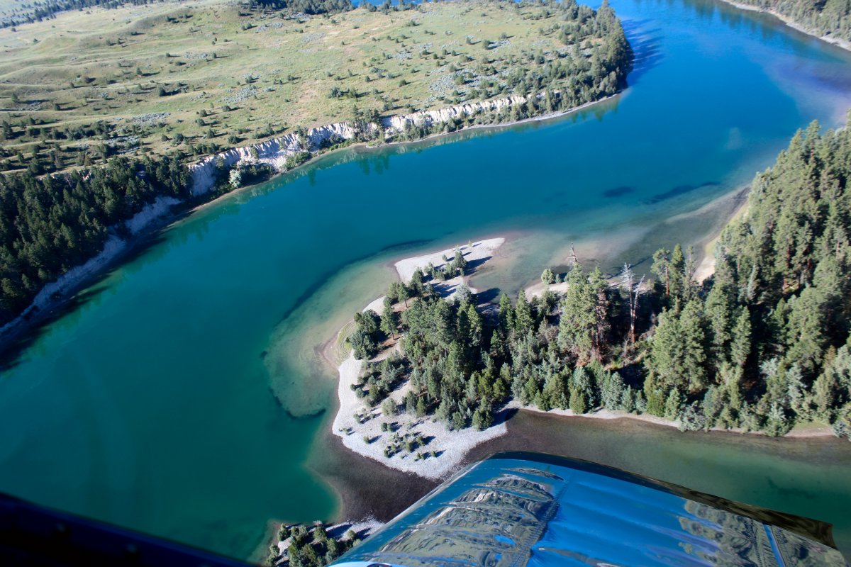
I'm no fisherman but this area looks like it would be great for flyfishing.
|
| |
 |
|
| The river makes a right-hand turn to the west, but to the left was this large circular hill called the National Bison Range. So I flew around it looking for Bison. I did not see a single one. |
| |
 |
|
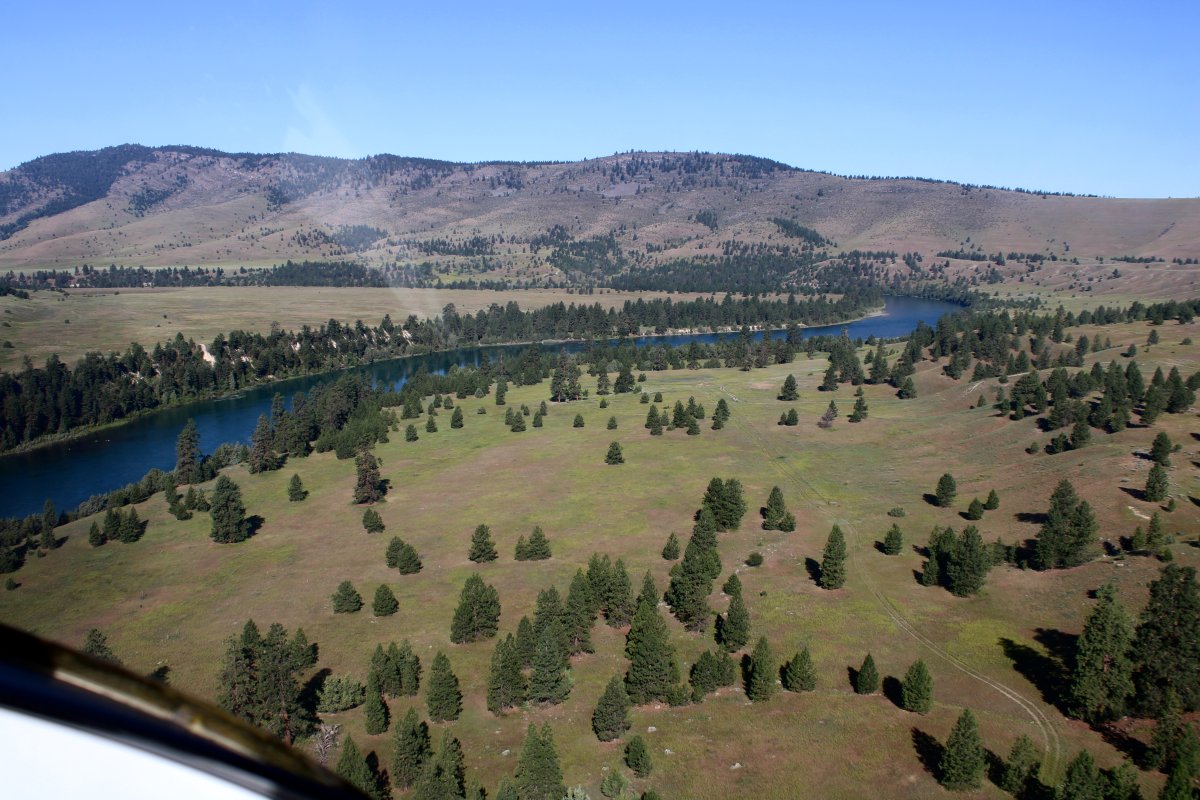
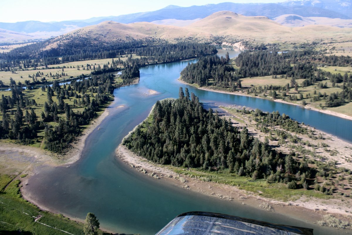
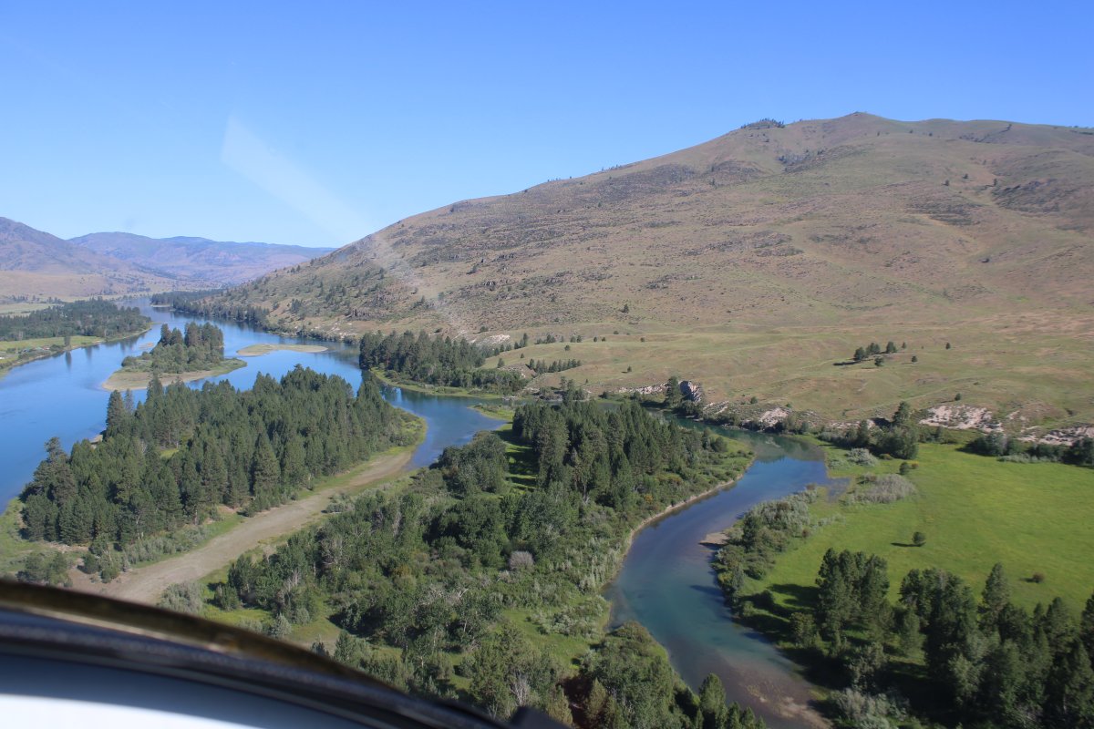
| Now pointing west to continue following the Flathead River which cuts through the mountains. |
| |
 |
|
| Scenic, close to civilization, and airports along the way; much preferable to just booming over hundreds of miles of tree-covered mountains and serious wilderness. |
| |
 |
|
|
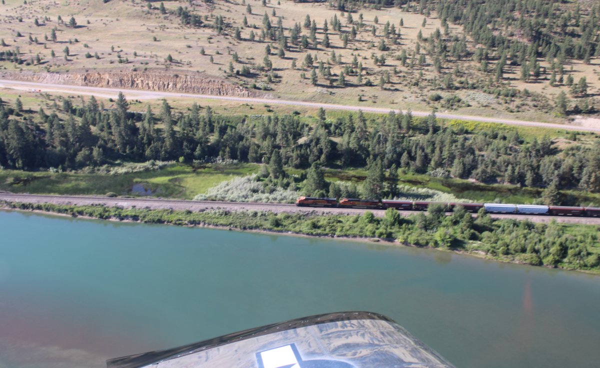
A road and railroad also followed the river.
|
| |
 |
|
| |
| |
 |
|
|
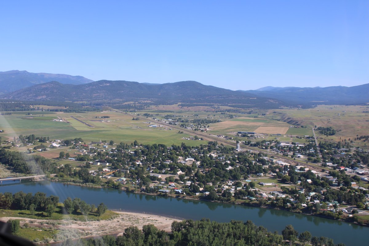
The little town of Plains, Montana with Plains Airport (S34) on the other side of town.
|
| |
 |
|
| A closer look at Plains Airport. |
| |
 |
|
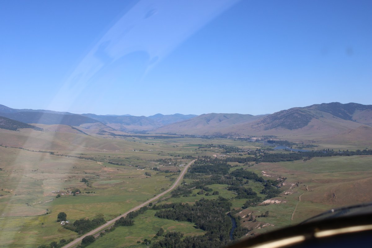
| Following the river and looking up at the mountains on each side. |
| |
 |
|
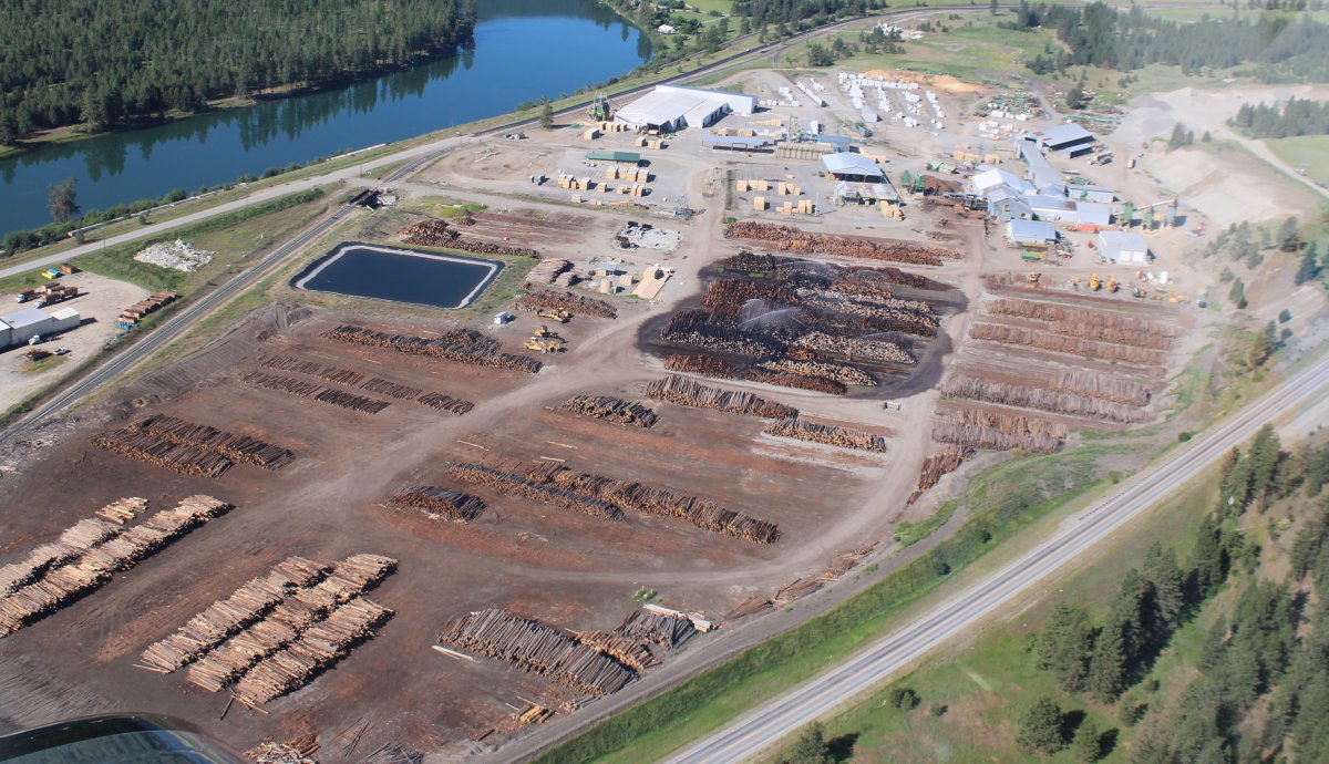
| Passing by Thompson River Lumber. Notice how some of the logs are being watered? I wonder why? |
| |
 |
|
|
I can see where they get the logs.
|
| |
 |
|
| Passing by Thompson Falls Airport (KTHM) |
| |
 |
|
|
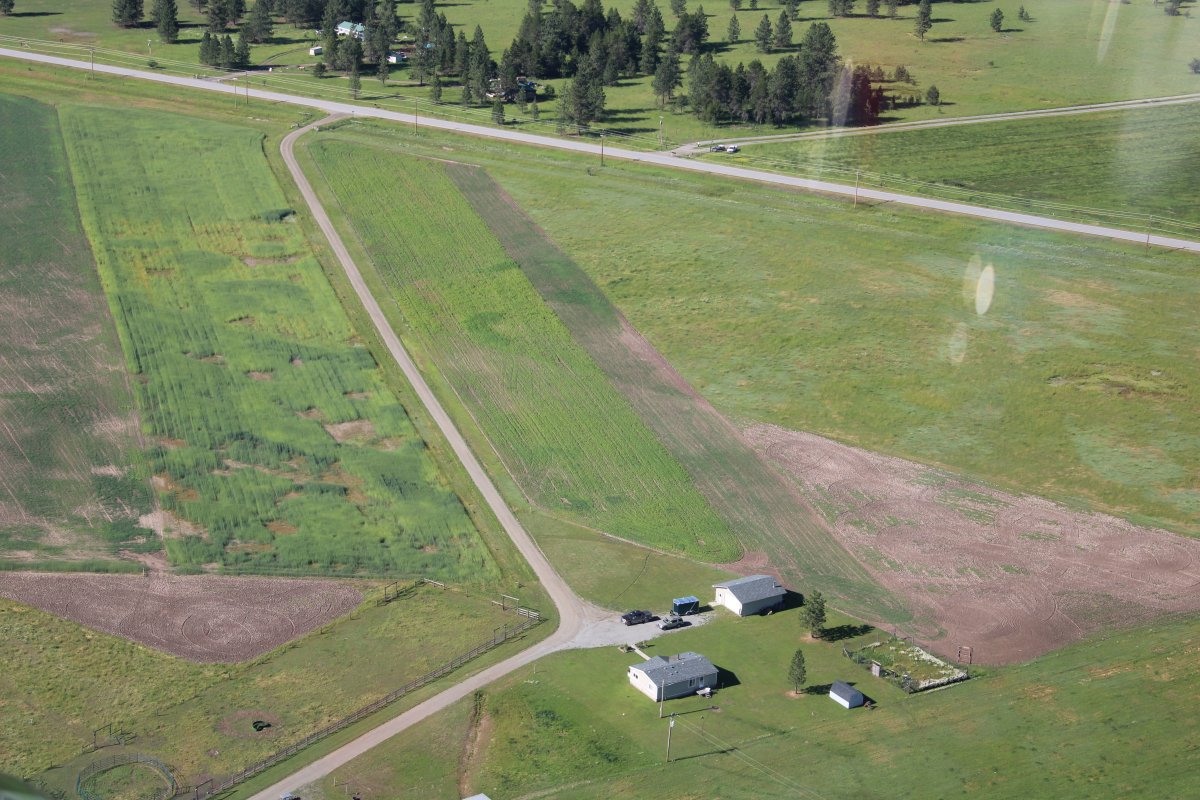
A little private grass strip.
|
| |
 |
|
| Noxon Reservoir. |
| |
 |
|
|
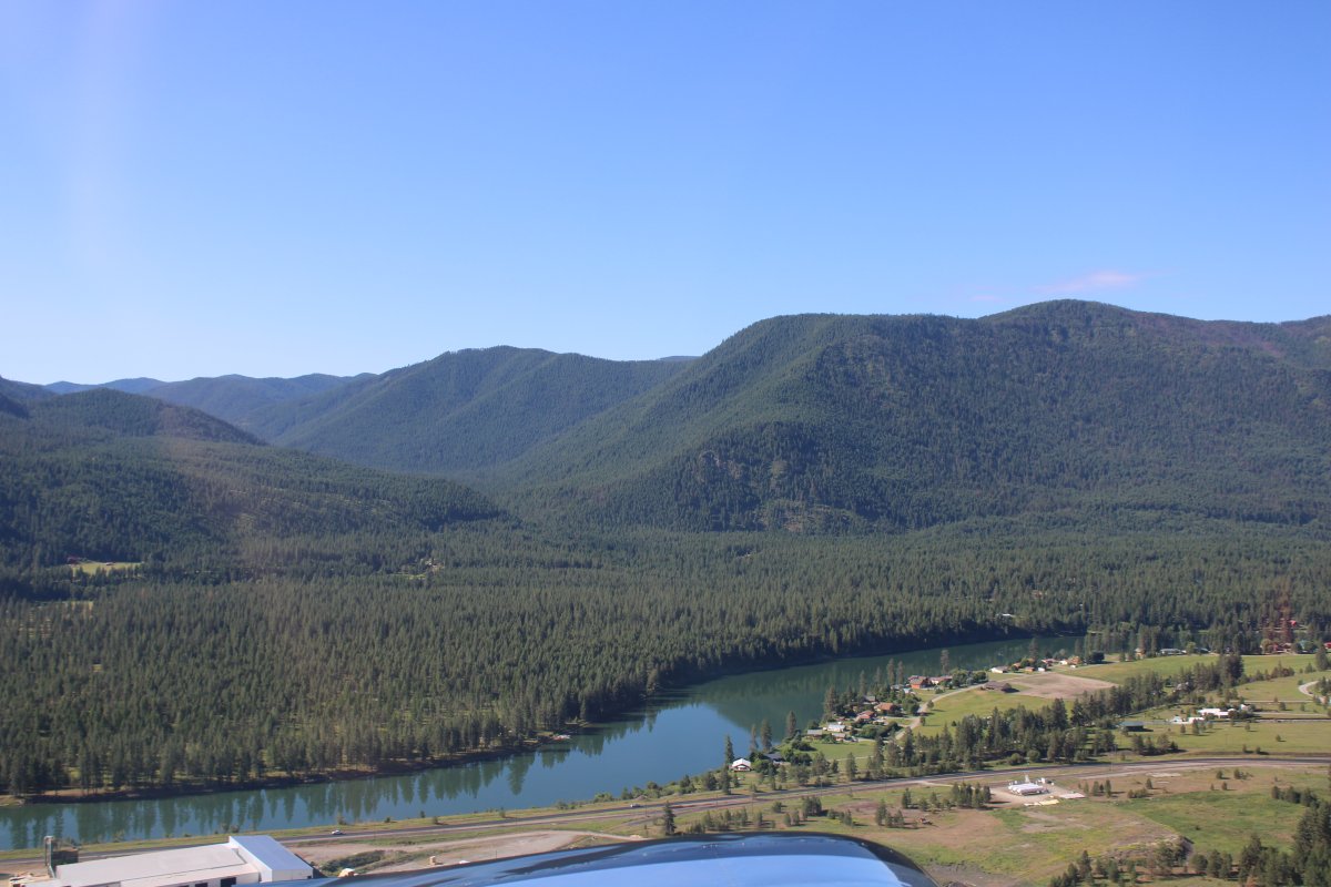
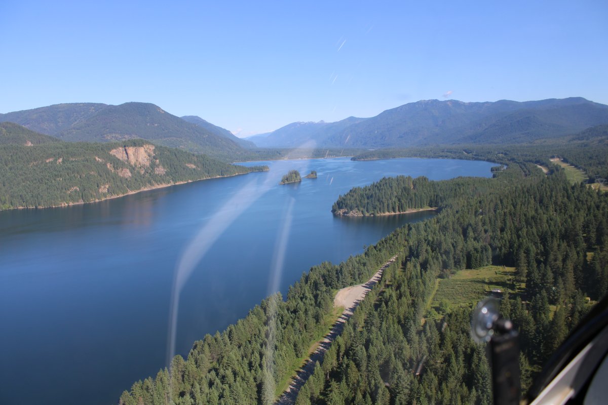
Then the river empties into big Lake Pend Oreille.
|
| |
 |
|
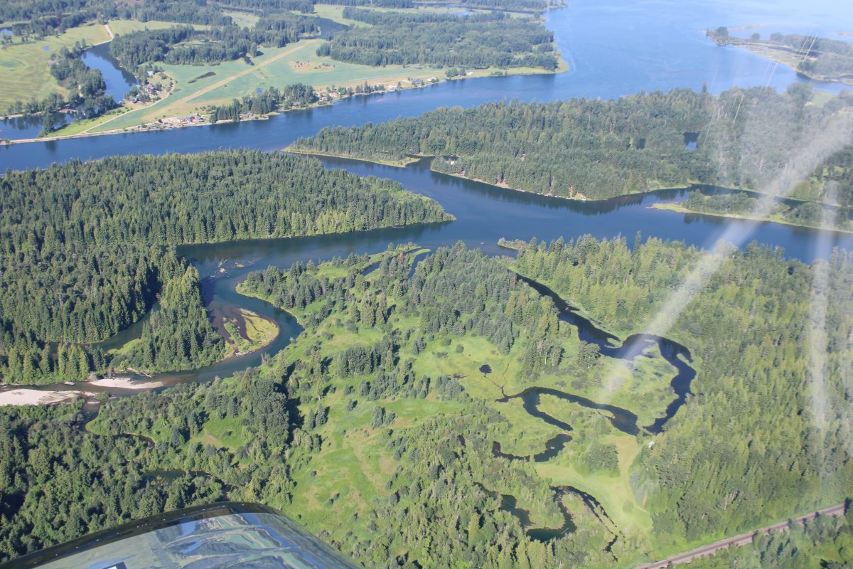
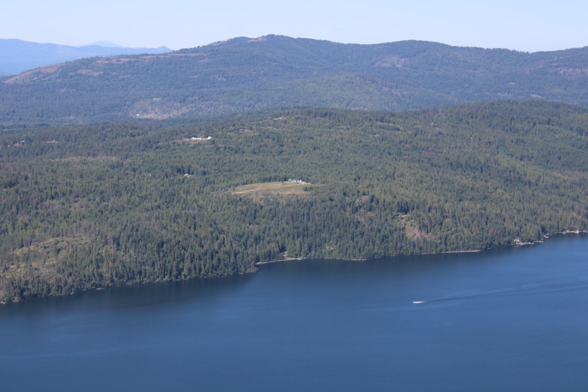
| The delta at the Lake was very scenic. There were three private grass strips in the vicinity -- one at top left. |
| |
 |
|
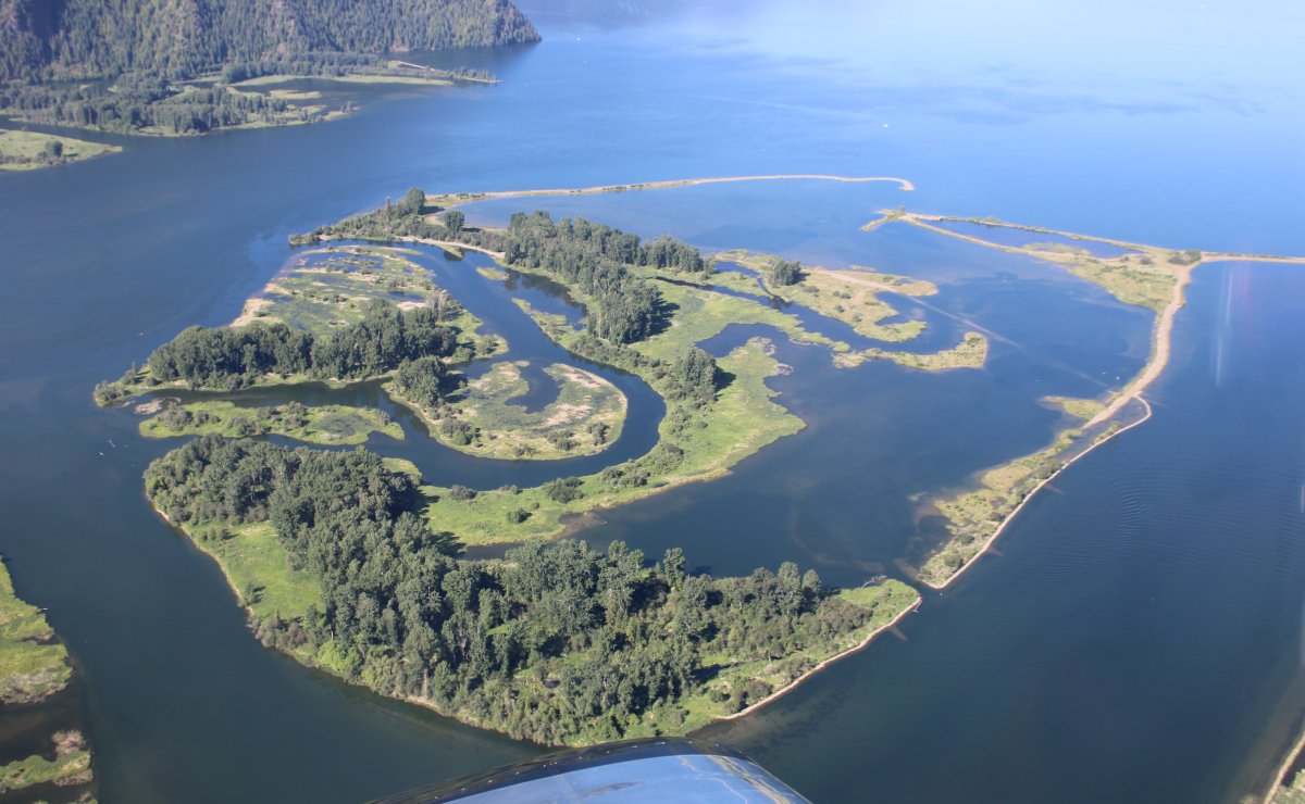
| Nature as art. |
| |
 |
|
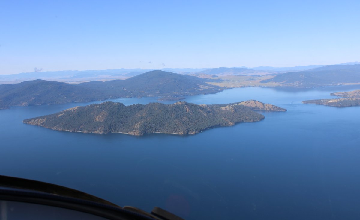
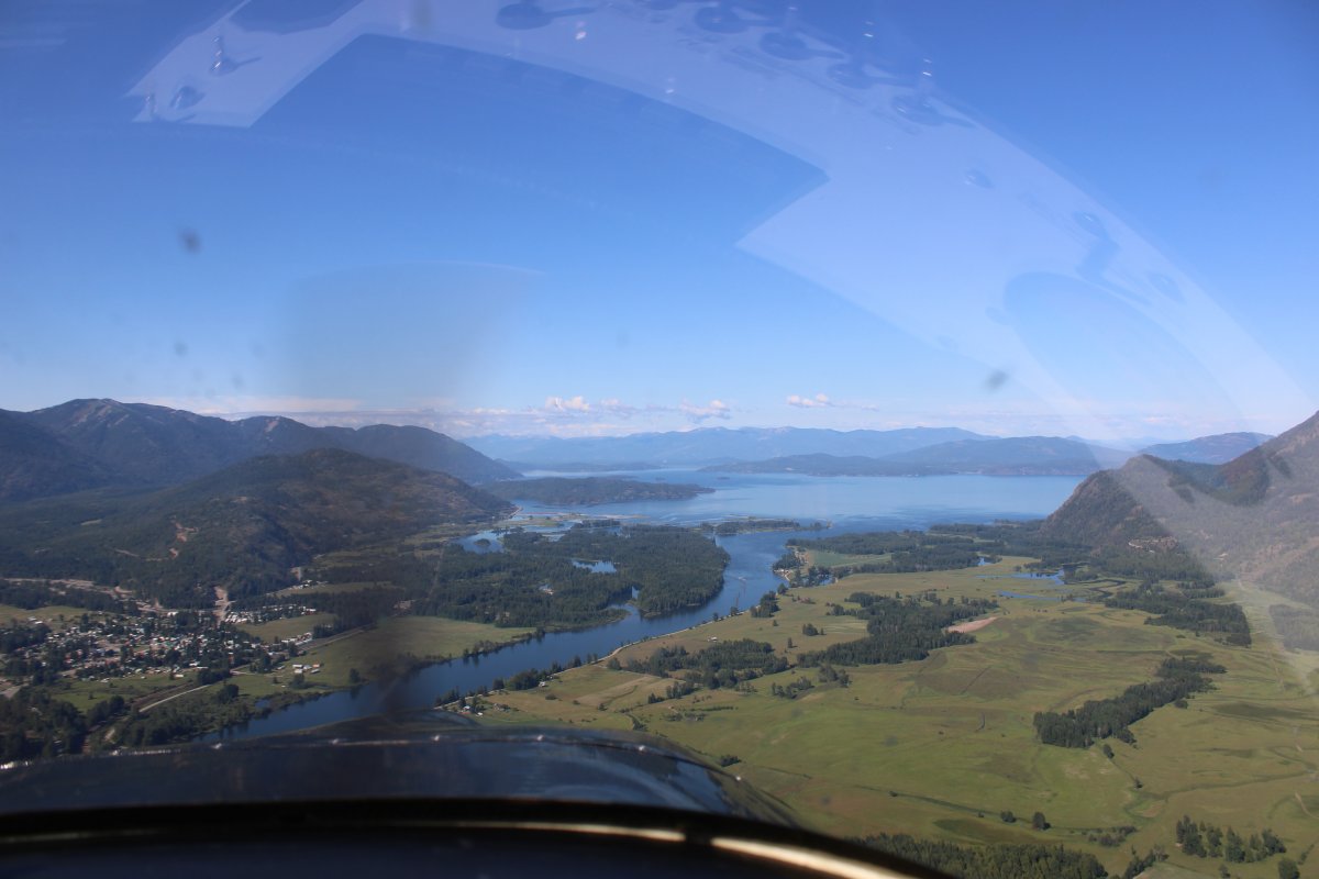
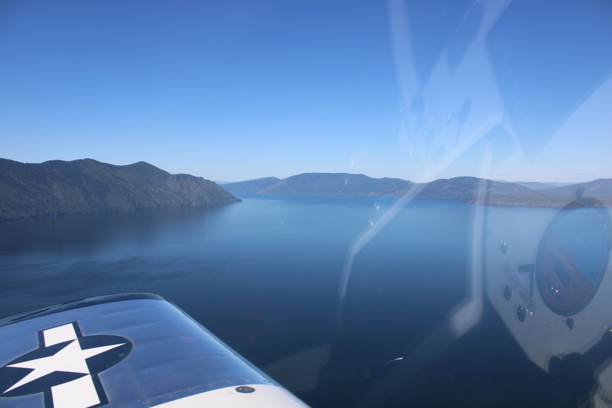
| Looking southwest at the main part of Lake Pend Oreille. |
| |
 |
|
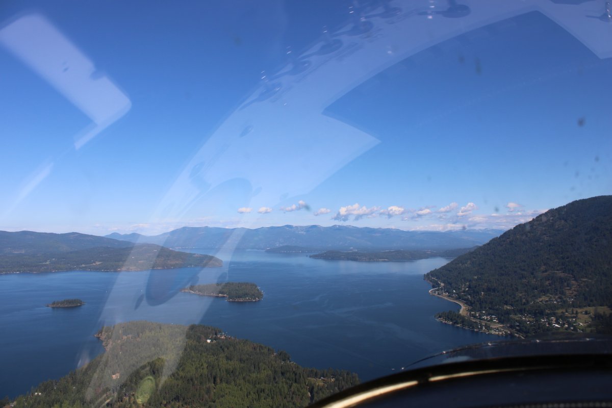
|
Flying northwest across the top part of the Lake towards Sandpoint, Idaho.
|
| |
 |
|
| Another little strip cut out of the forest. |
| |
 |
|
|
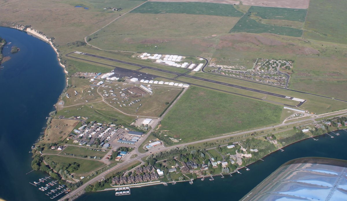
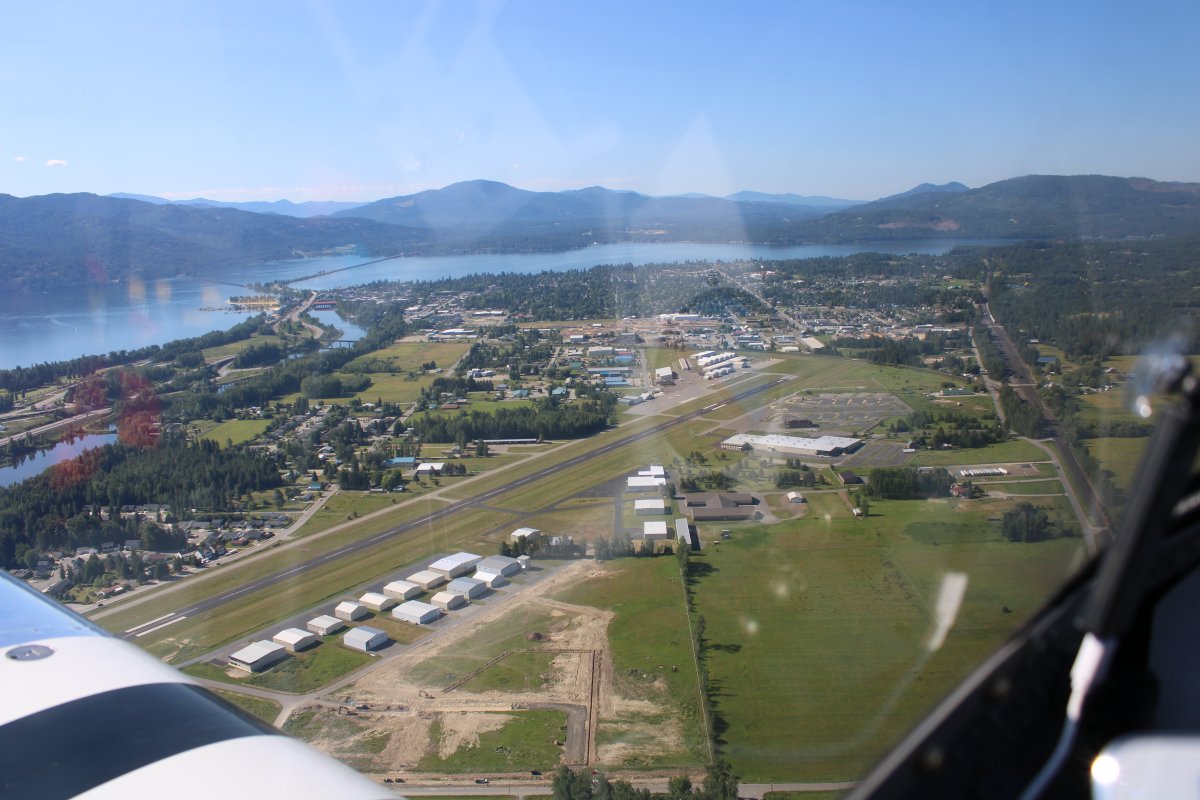
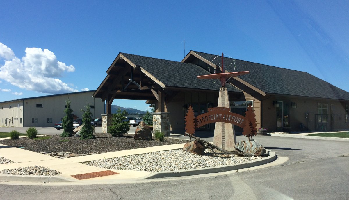
And there is Sandpoint Airport (KSZT), my destination. Why? Low fuel prices, of course. They would be the lowest I paid on this entire trip. It turned out to be a very nice airport, with courtesy car and upscale FBO building.
|
| |
 |
|
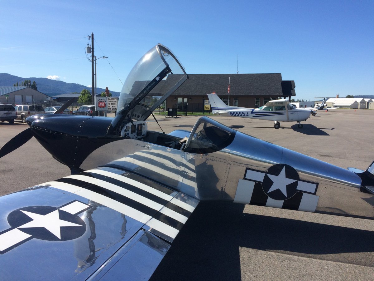
| On the deck at Sandpoint. |
| |
 |
|
| I drove into town and had a late breakfast. |
| |
 |
|
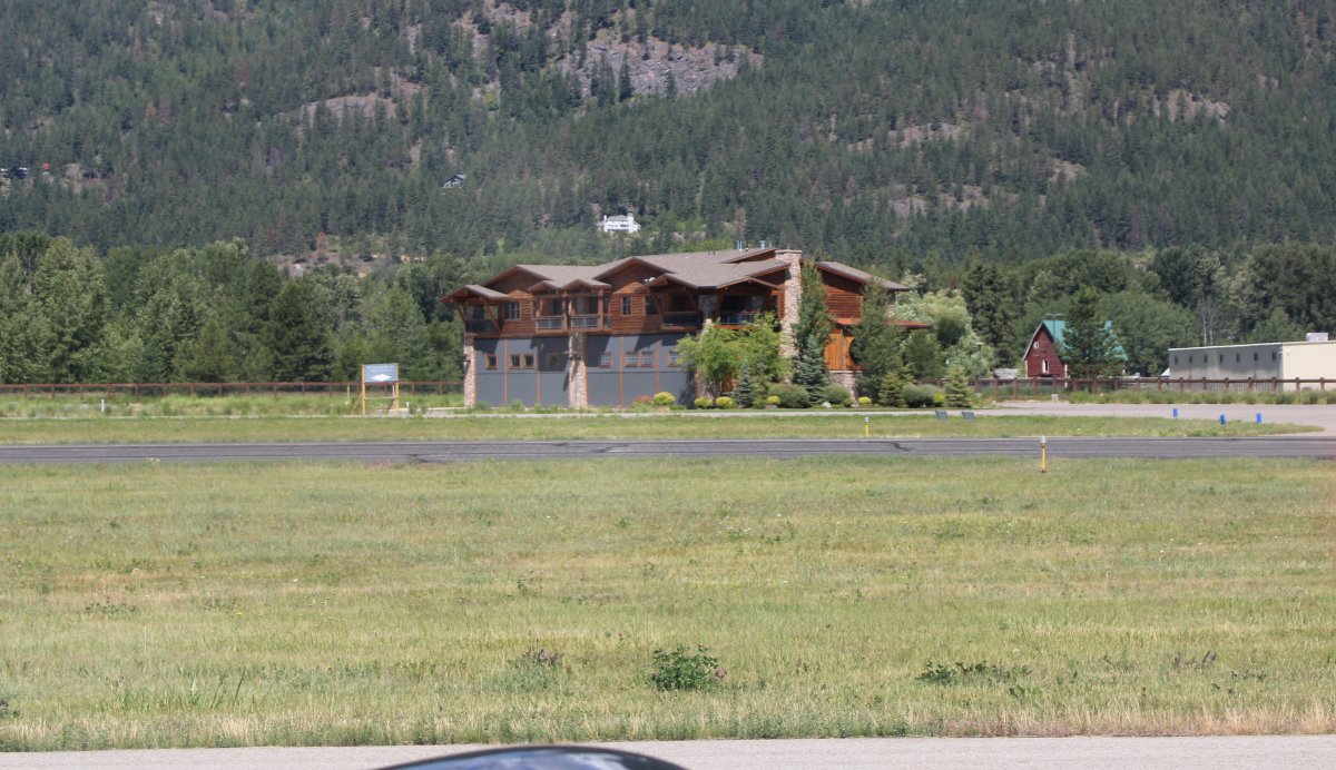
| Taxiing for takeoff, I saw these big house-hangars on the other side of the runway. Is this an airport community as well? Why yes it is. Silverwing at Sandpoint. |
| |
 |
|
|
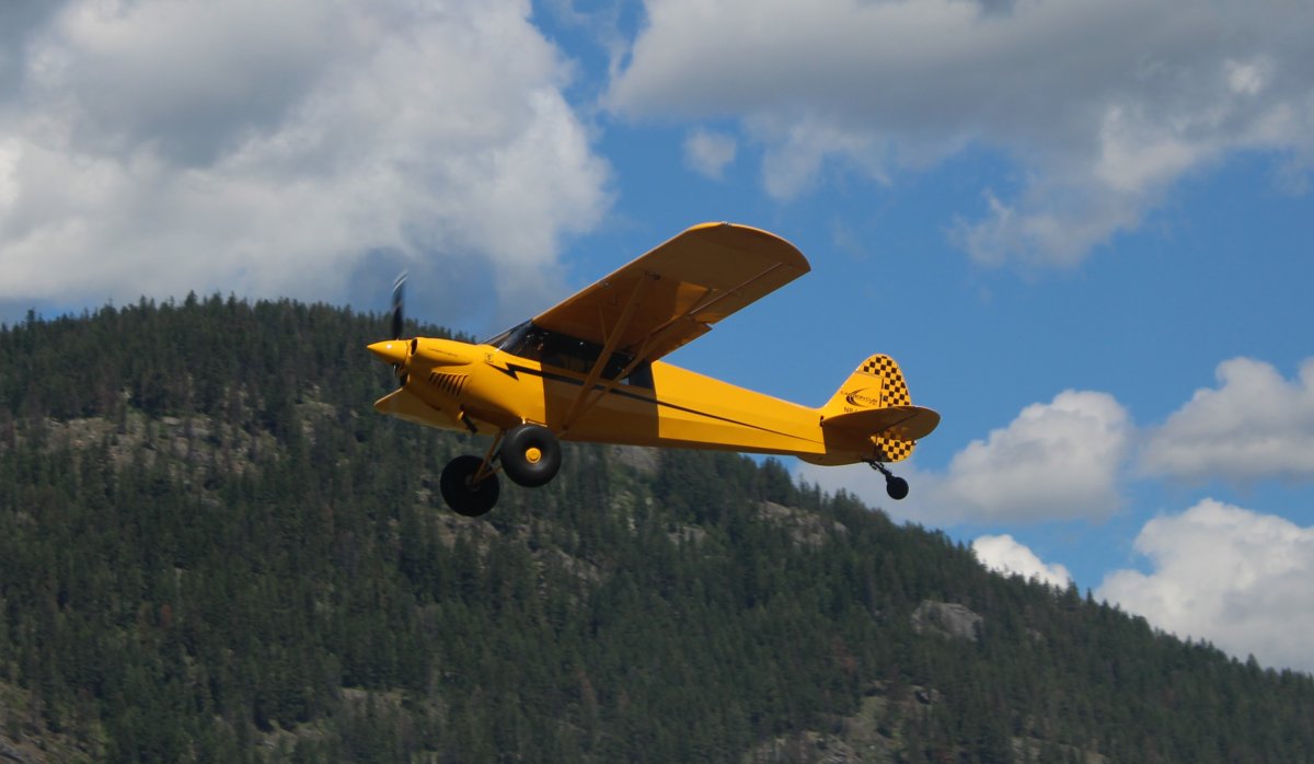
A SuperCub takes off. The same plane landed just ahead of me. The pilot flew a beautiful close-in pattern to land.
|
| |
 |
|
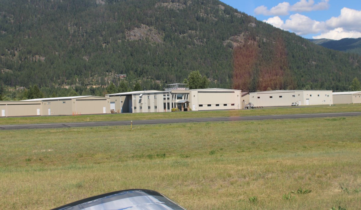
| The Quest Aircraft Company, builder of the Kodiak, what they call the most advanced 10-seat short takeoff andlanding turboprop aircraft in existance, is somewhere in these hangars. |
| |
 |
|
|
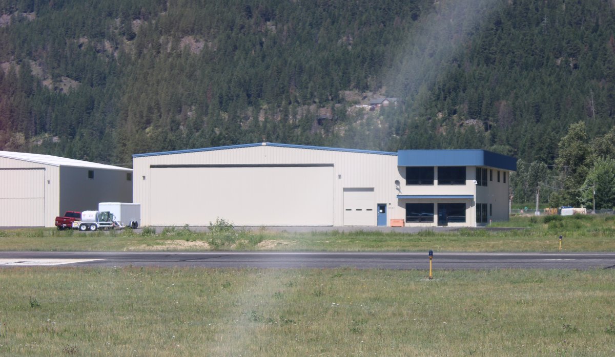
Another big hangar.
|
| |
 |
|
| |
| |
|
|
|
|
|
|