June 28, 2019 - Flight West - Day Three Part III
|
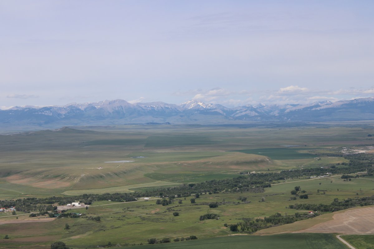
| I left the Missouri River and headed west towards Choteau Airport, Montana which looked like a good stop for fuel and lunch. |
| |
 |
|
|
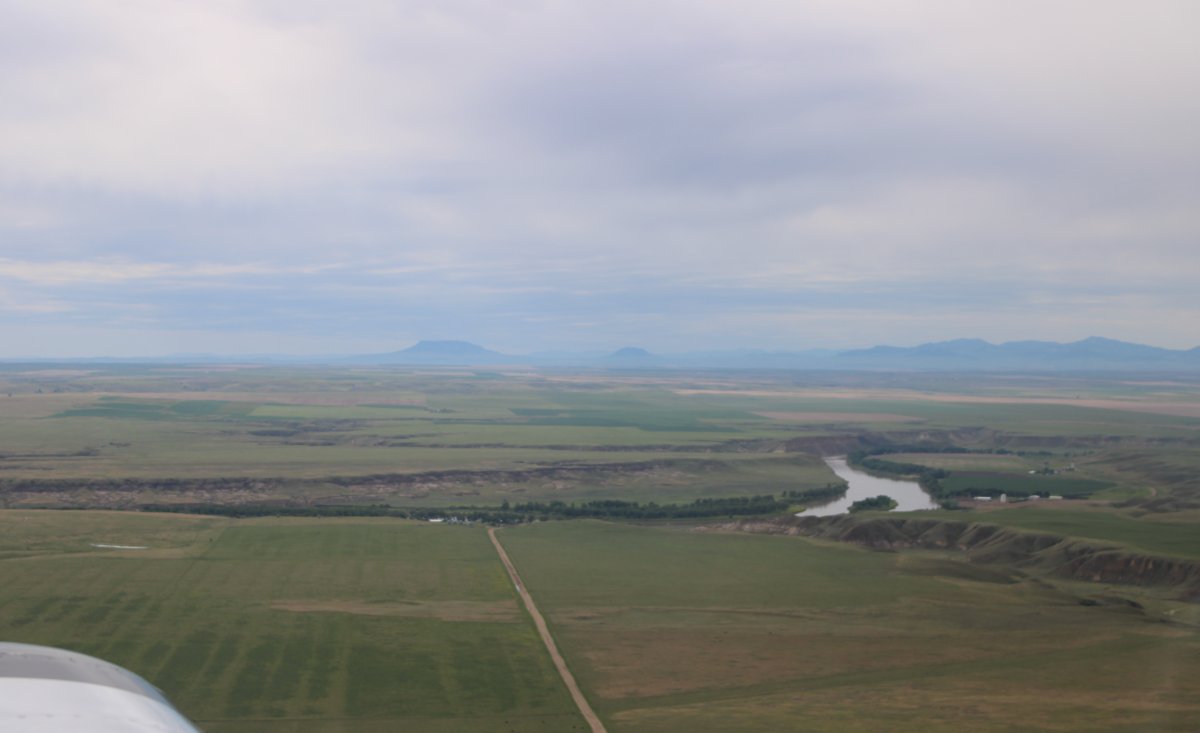
The Missouri River heads southwest towards Fort Benton and Great Falls.
|
| |
 |
|
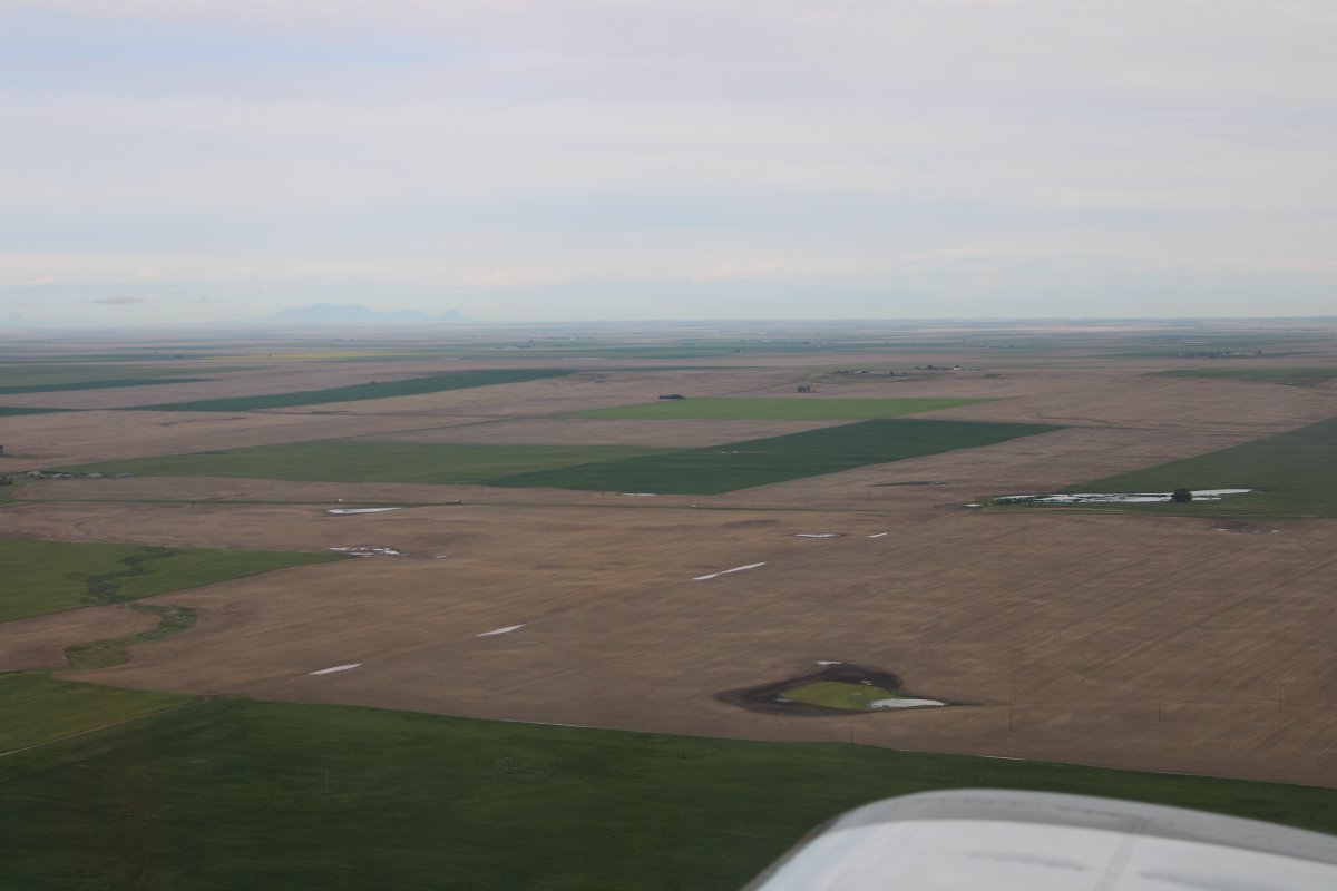
| Flatland again. |
| |
 |
|
|
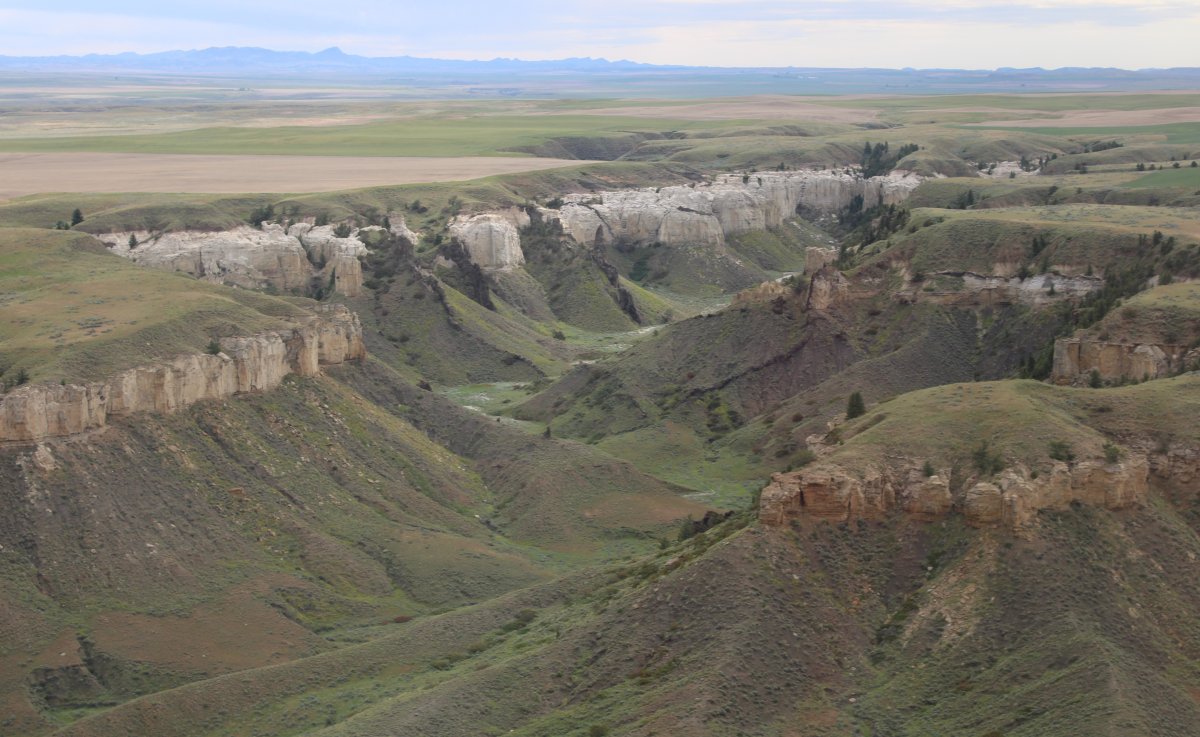
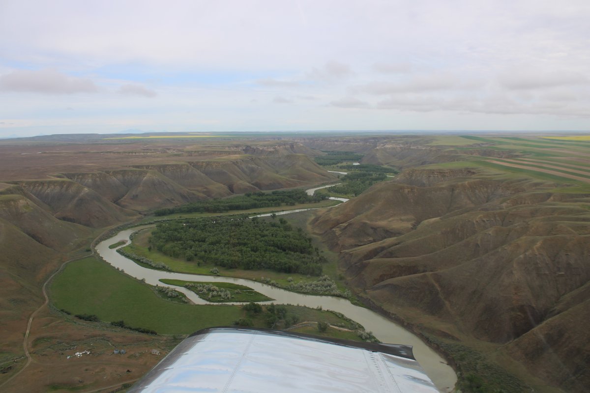
Except where the ground is broken into ravines.
|
| |
 |
|
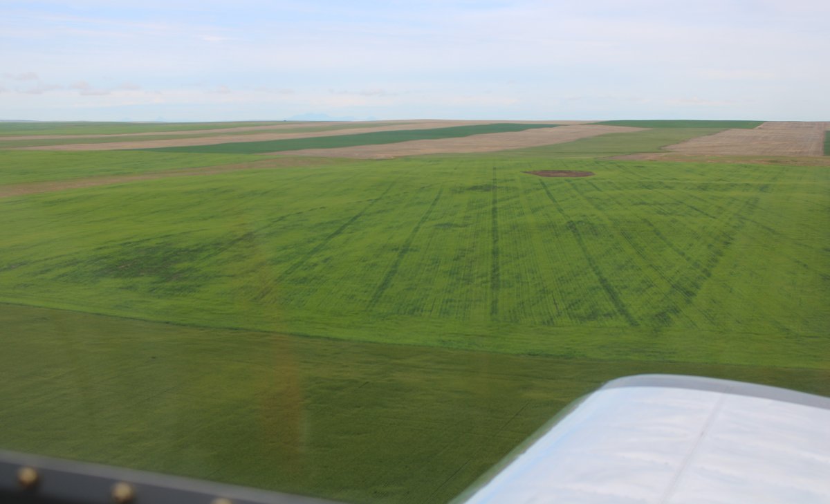
| Bright green. |
| |
 |
|
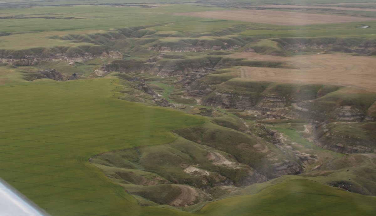
| Rivers just cut their way into the land around here, I guess. |
| |
 |
|
| |
| |
 |
|
|
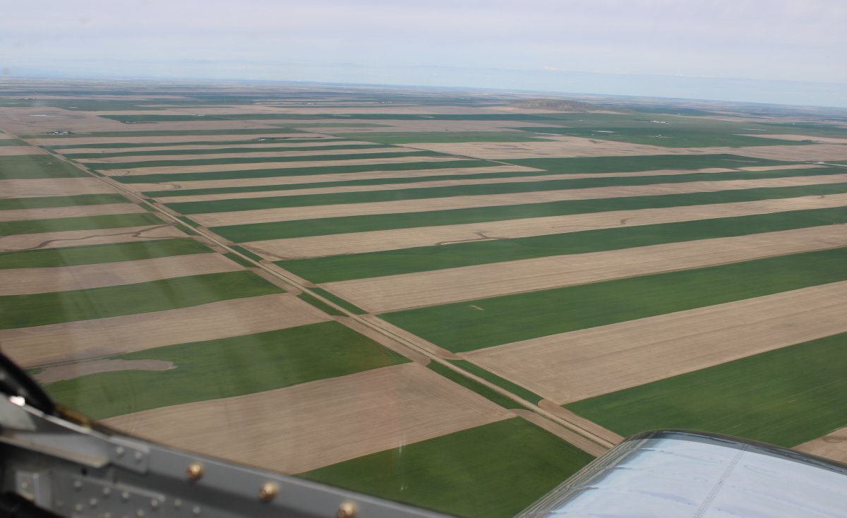
Interesting pattern.
|
| |
 |
|
| In the distance, I see the Rockies. With snow. In July, no less. |
| |
 |
|
|
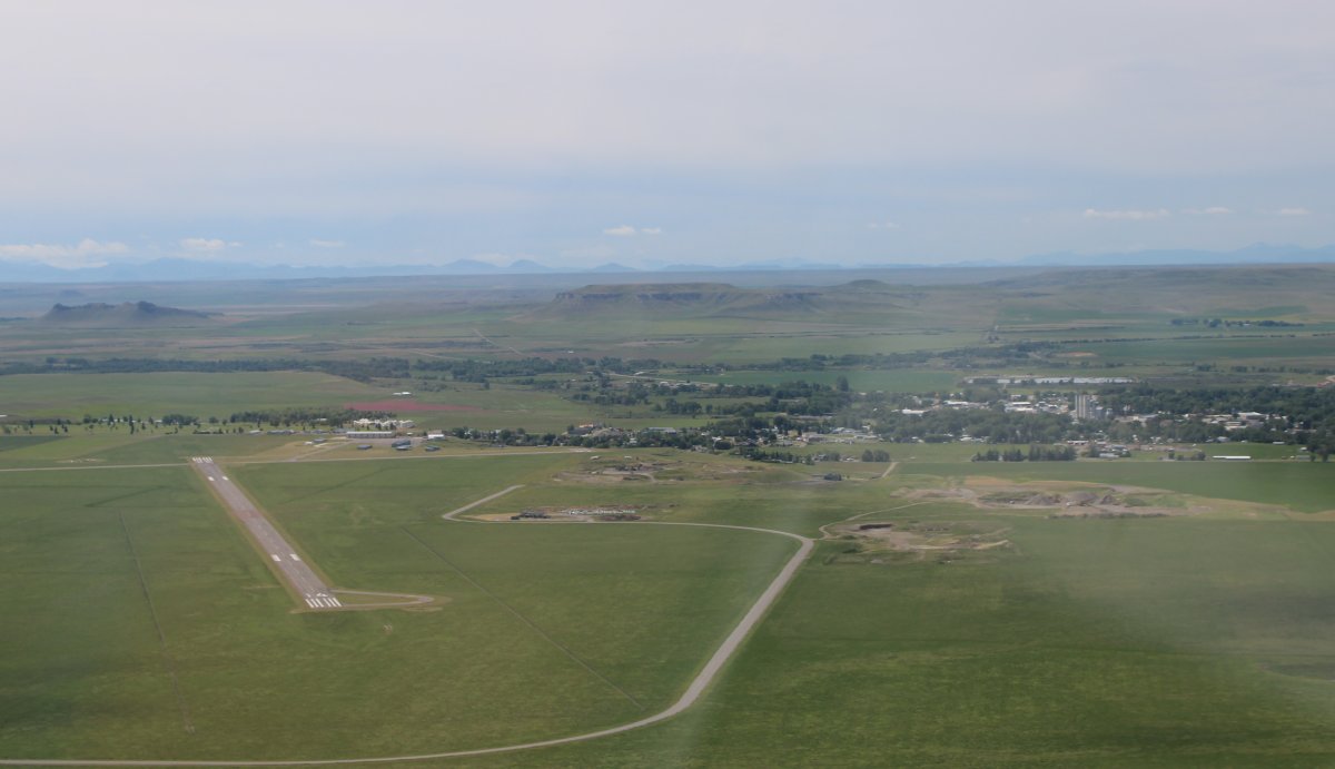
And here is Choteau Airport, with the town of Choteau visible on the right.
|
| |
 |
|
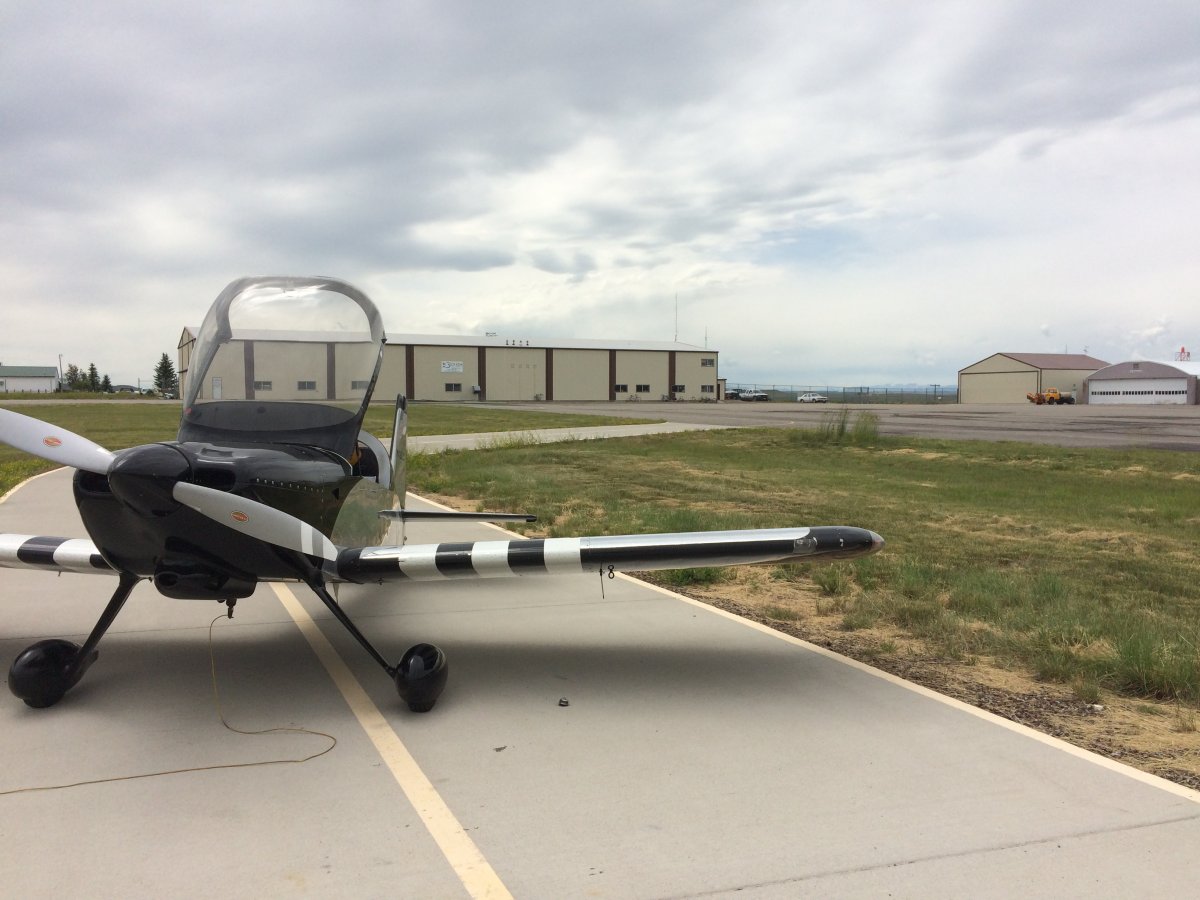
| Safe on deck at Choteau Airport (KCII), by the self-service fuel pump. The pilot's lounge, FBO Office, whatever you want to call it is on the right end of that large building/hangar. I walked into the pilot's lounge expecting to find it empty but imagine my surprise when there were seven or so people hanging out in a very comfortable room, almost like a family room of a house. They were very friendly, asked all the usual questions -- where I was from, where i was going, what kind of plane -- and advised me where to take the courtesy car into town for lunch. They gave me some tips on how to fly over nearby Glacier National Park. |
| |
 |
|
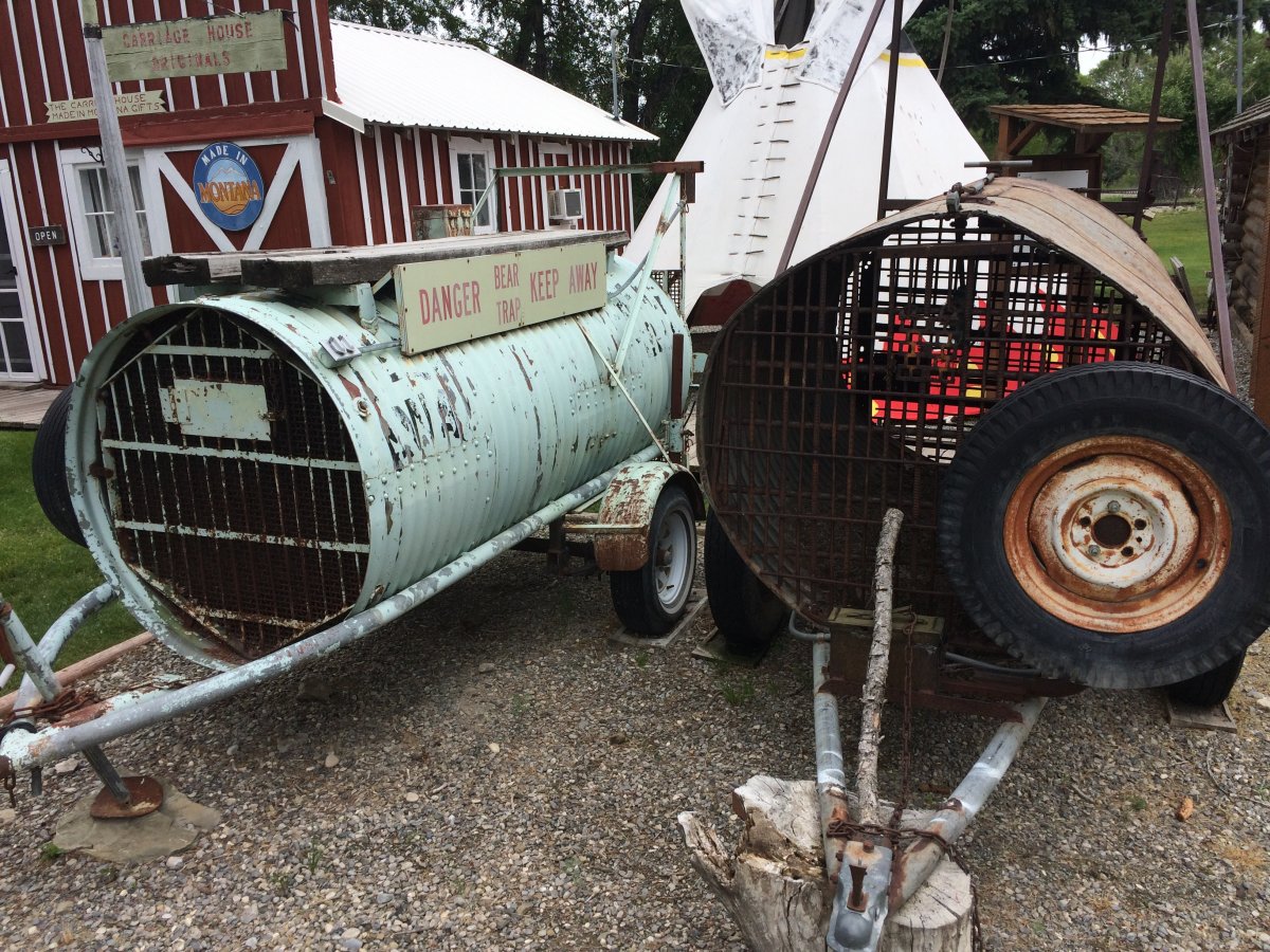
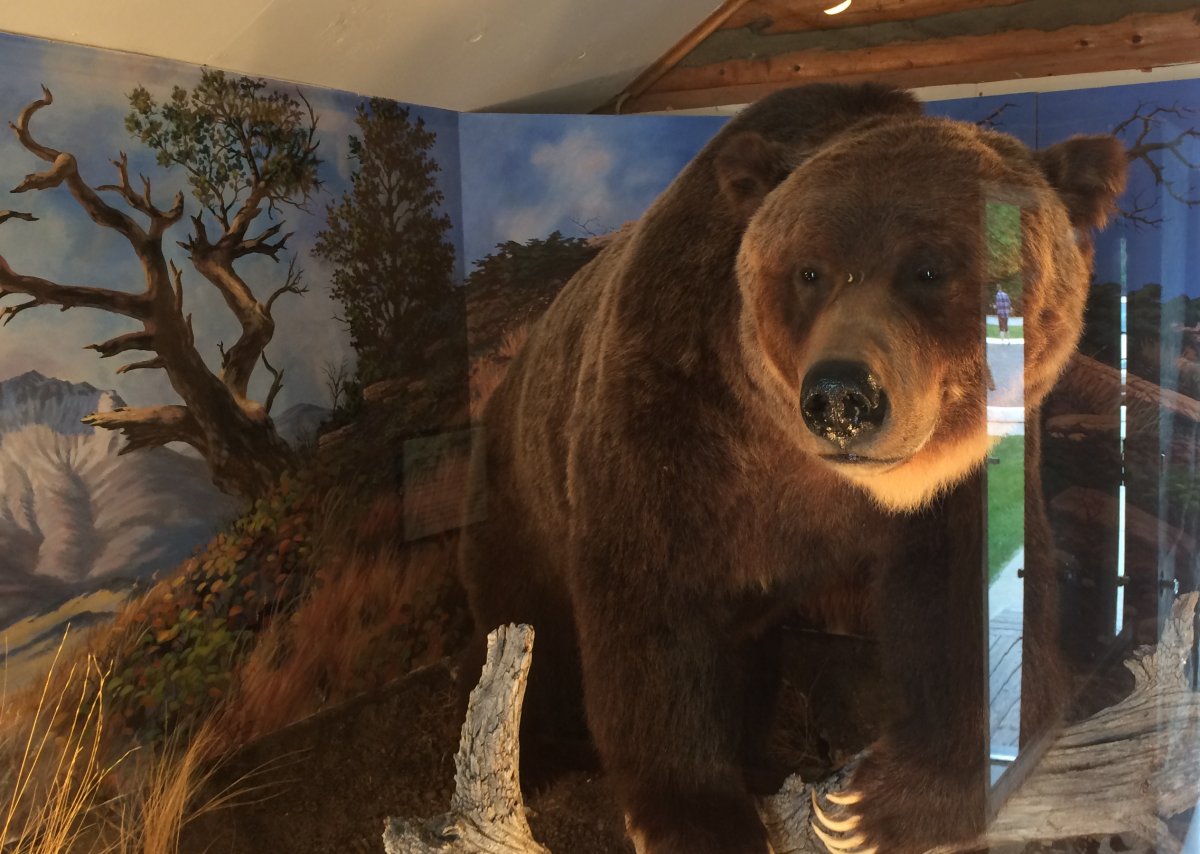
| I had a good burger at the Outpost Deli in town and then toured the Old Trail Museum across the street. These bear traps were kind of interesting. |
| |
 |
|
|
A big grizzily bear from long ago.
Choteau is a very small town, but there are a couple of places to stay in town, the airport is very nice, they have the courtesy car, so this would be a good overnight stop. Plus it is very close to some excellent flying areas!
|
| |
 |
|
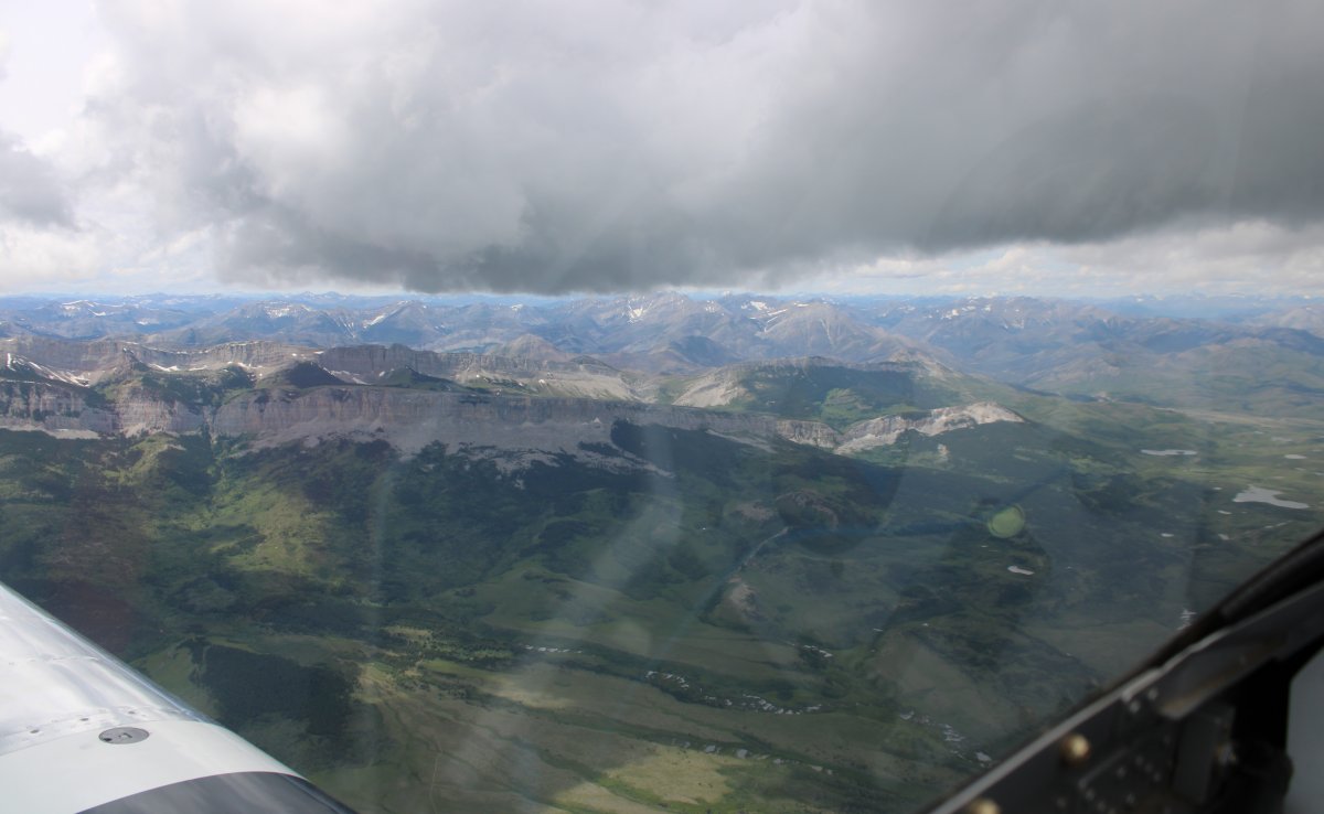
|
I took off and headed north northwest parallel to the mountains. There was a broken cloud layer above me but it was high enough as to not be a problem.
|
| |
 |
|
|
You know the mountains are pretty high when there is still snow on them in July!
Here I'm heading north, approaching Highway Two which goes west into the southern edge of Glacier NP.
|
| |
 |
|
|
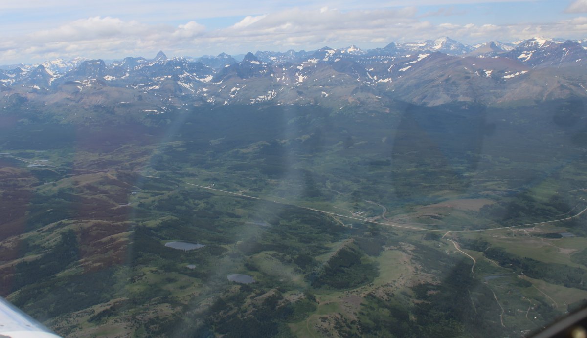
Getting closer to the mountains on the west.
|
| |
 |
|
| Those are some seriously rugged mountains! |
| |
 |
|
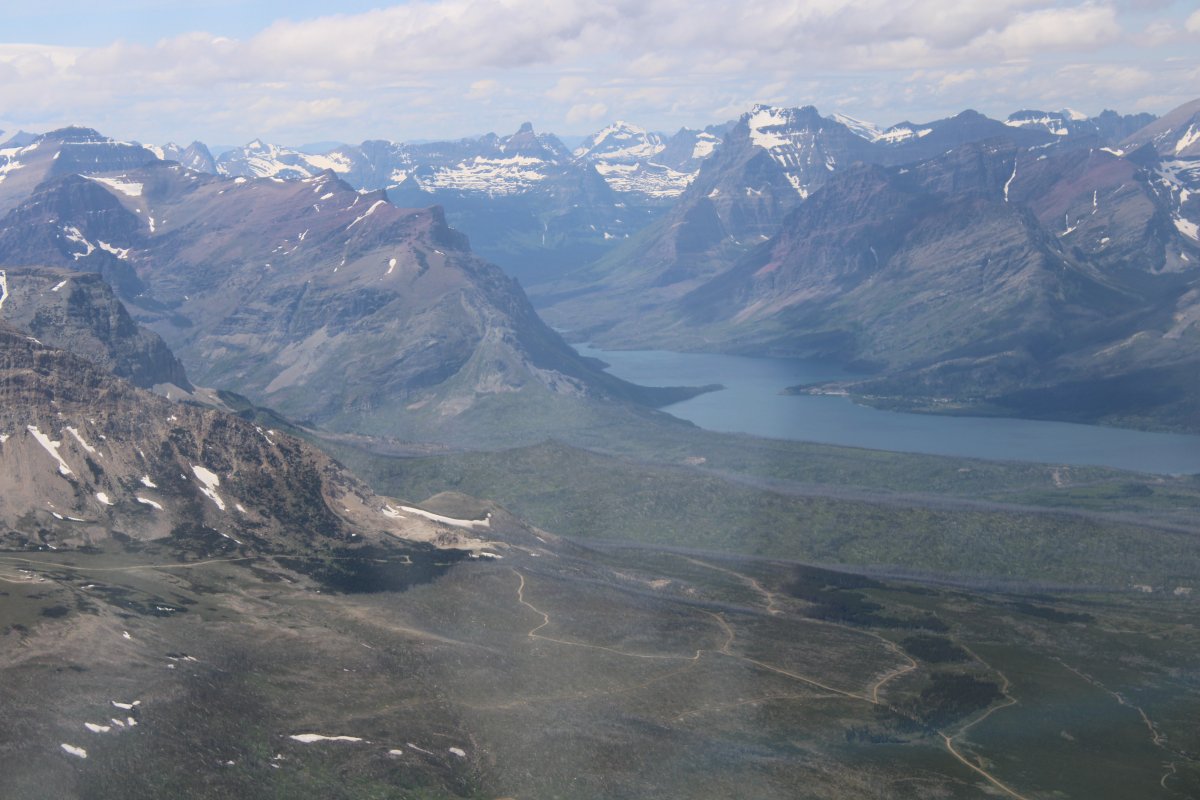
| Approaching Saint Mary Lake where I will turn west into Glacier NP. |
| |
 |
|
| Looking south. |
| |
 |
|
|
Looking north.
|
| |
 |
|
|
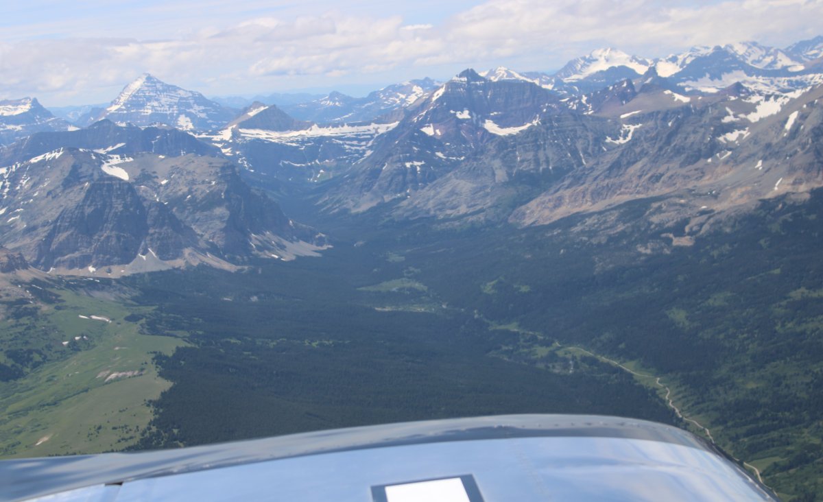
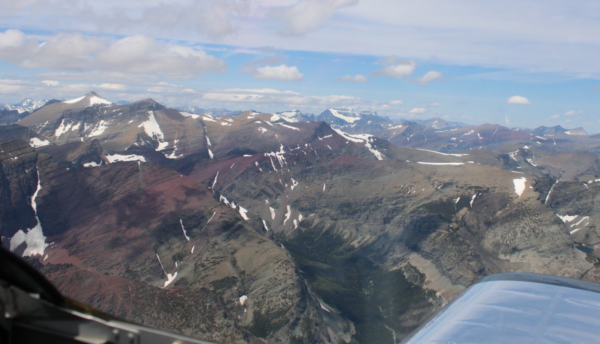
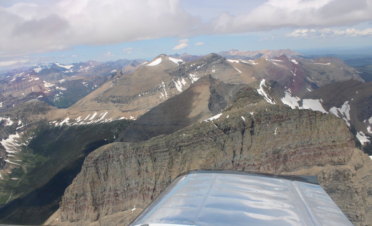
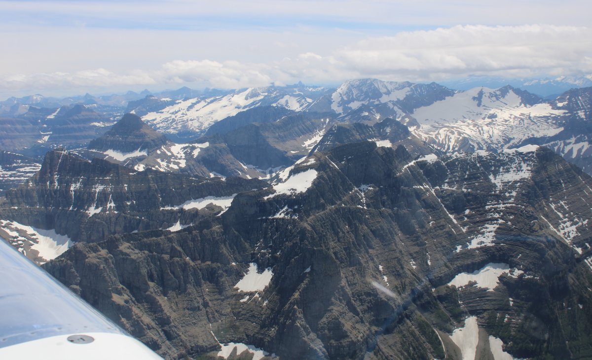
Feeling my way through some very large mountains.
|
| |
 |
|
| I think I turned northwest and am now looking northeast. |
| |
 |
|
|
And looking southwest. Beautiful.
|
| |
 |
|
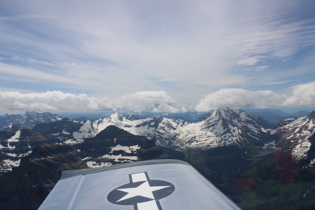
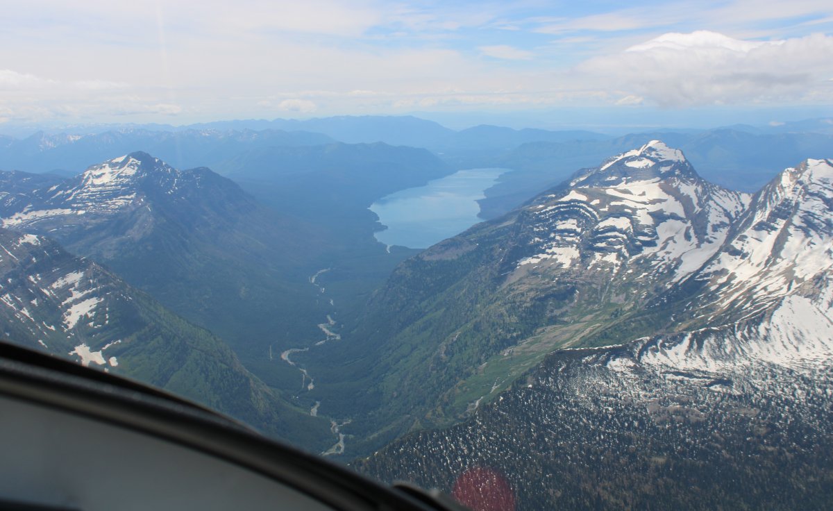
| Lake McDonald coming into view to the southwest as well as Logan's Pass where I'll turn west. |
| |
 |
|
| Looking northeast at Lake Sherburne, I think. |
| |
 |
|
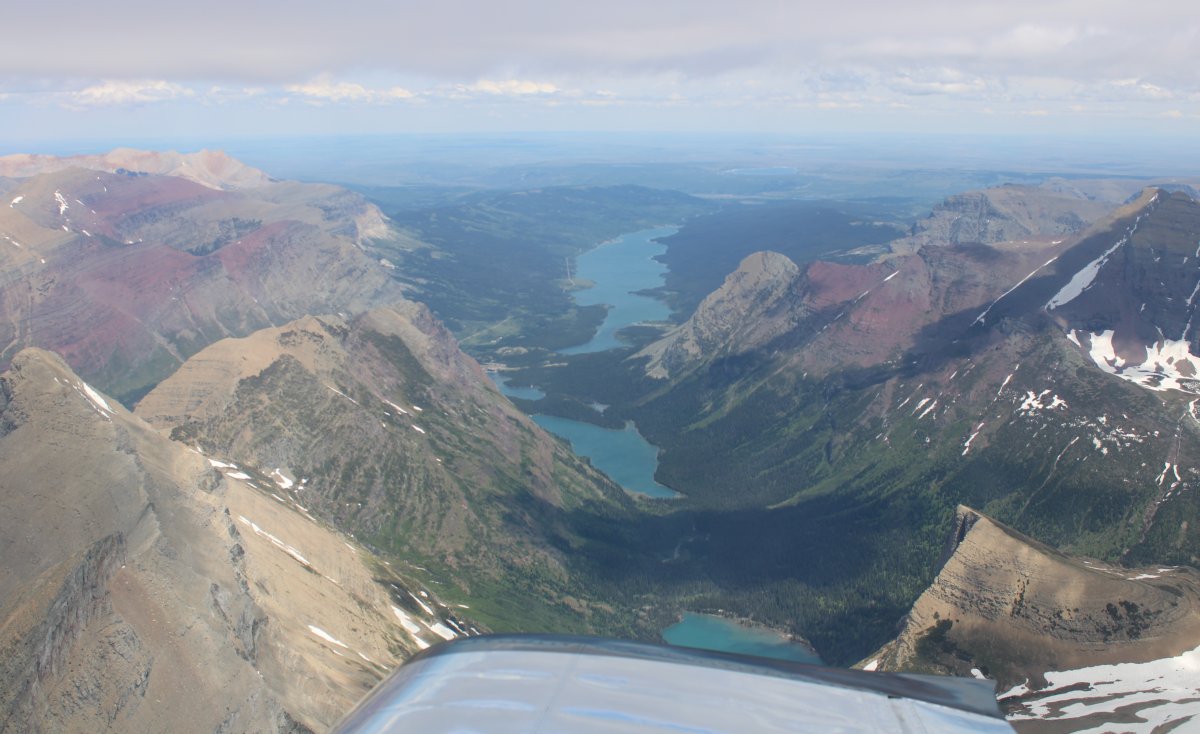
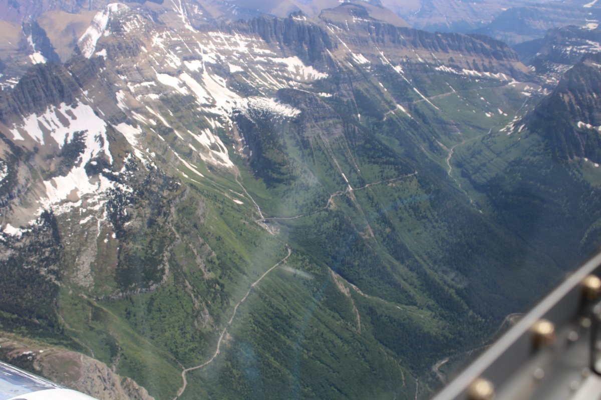
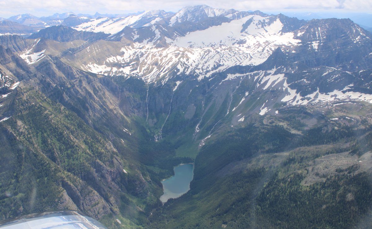
Looking southeast down at " Going-to-the-Sun-Road" as it heads northwest along the saide of that massive mountain.
The Sun Road is the only road that traverses Glacier National Park, crossing the Continental Divide through Logan Pass at an elevation of 6,646 feet, which is the highest point on the road. Construction began in 1921 and was completed in 1932. The length of the road is approximately 50 miles and spans the width of the park between the east and west entrance stations. The road is generally open from early June to mid October. The two lane Going-to-the-Sun Road is quite narrow and winding with hairpin turns, especially west of Logan Pass. Consequently, vehicle lengths over the highest portions of the roadway are limited to no longer than 21 feet and no wider than 8 feet. Prior to the construction of the road, visitors would need to spend several days traveling through the central part of the park, an area which can now be traversed within a few hours, excluding any stops for sightseeing or construction. The speed limits are 45 mph in the lower elevations and 25 mph in the steeper and winding alpine sections.
|
| |
 |
|
| You can just see the Sun Road in the lower right-hand corner. |
| |
 |
|
|
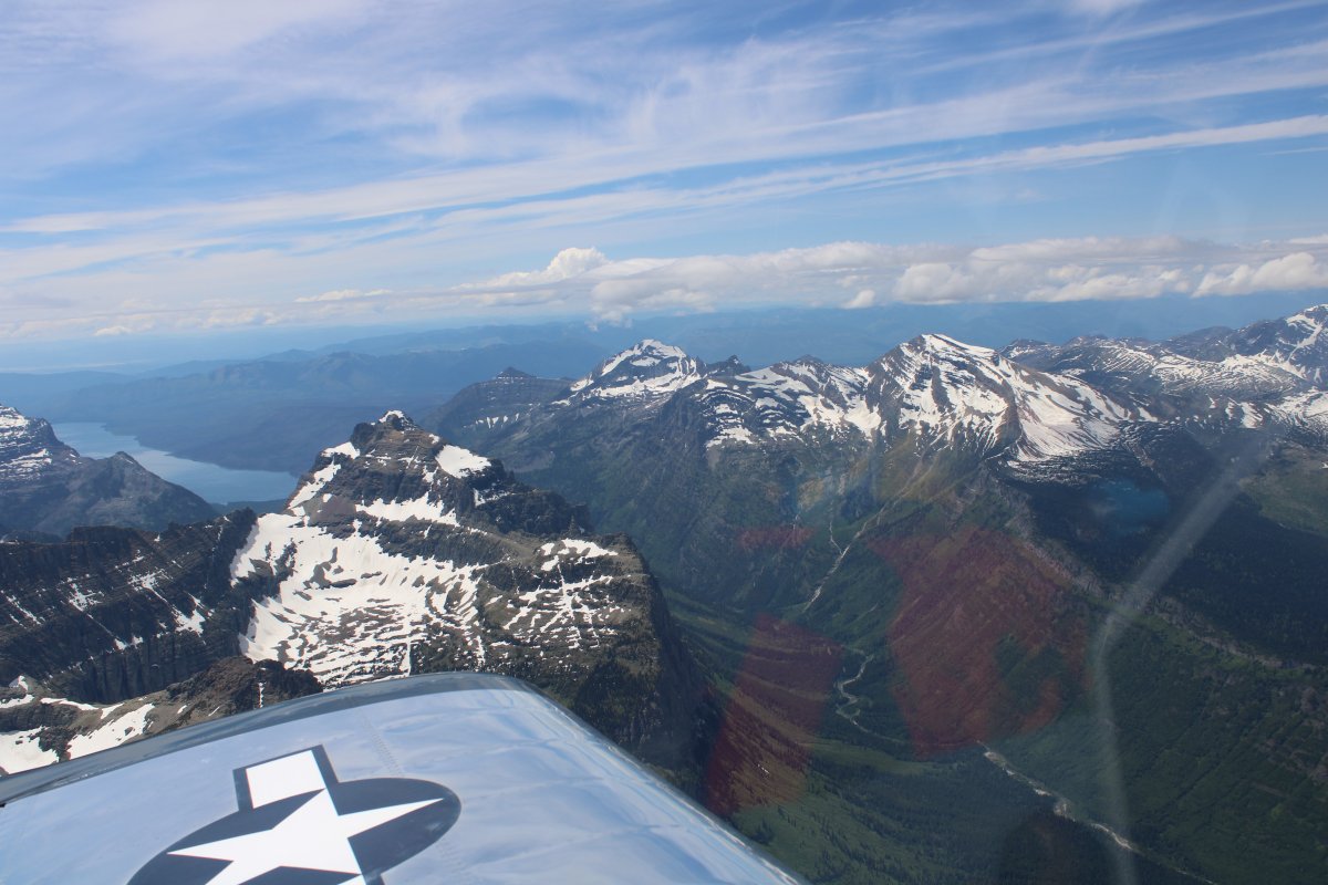
Now heading southwest, approaching Lake McDonald.
|
| |
 |
|
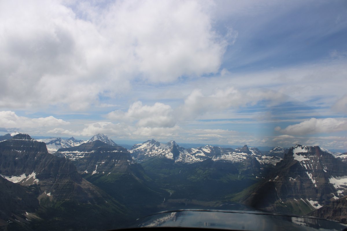
| The scenery was stunning. |
| |
 |
|
| Looking way down there at a little lake. |
| |
 |
|
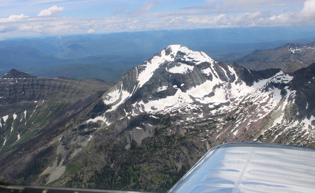
| Heavan's Peak? 8,989 feet. |
| |
 |
|
|
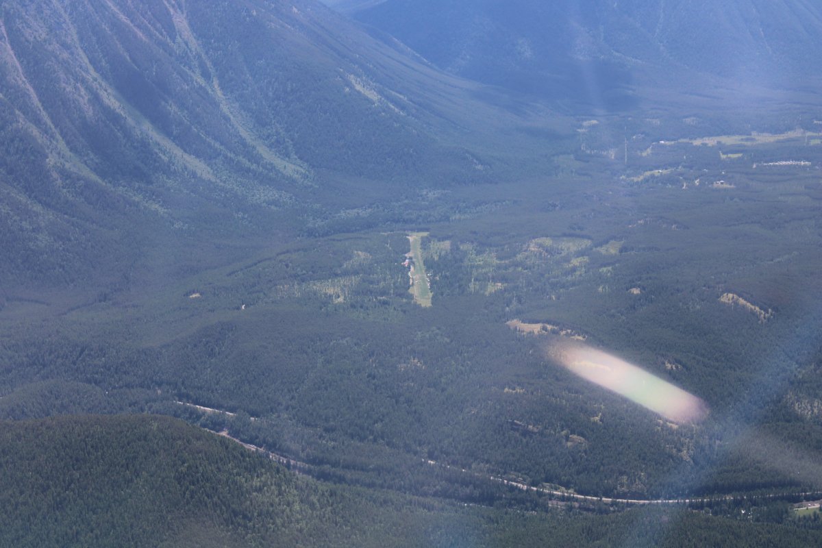
Passing by a little private grass strip called Ryan. It's owned by the Recreational Aviation Foundation so you could probably get permission to fly in there if you wanted. It requires a mandatory safety briefing beforehand though.
|
| |
 |
|
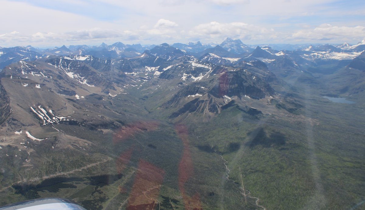
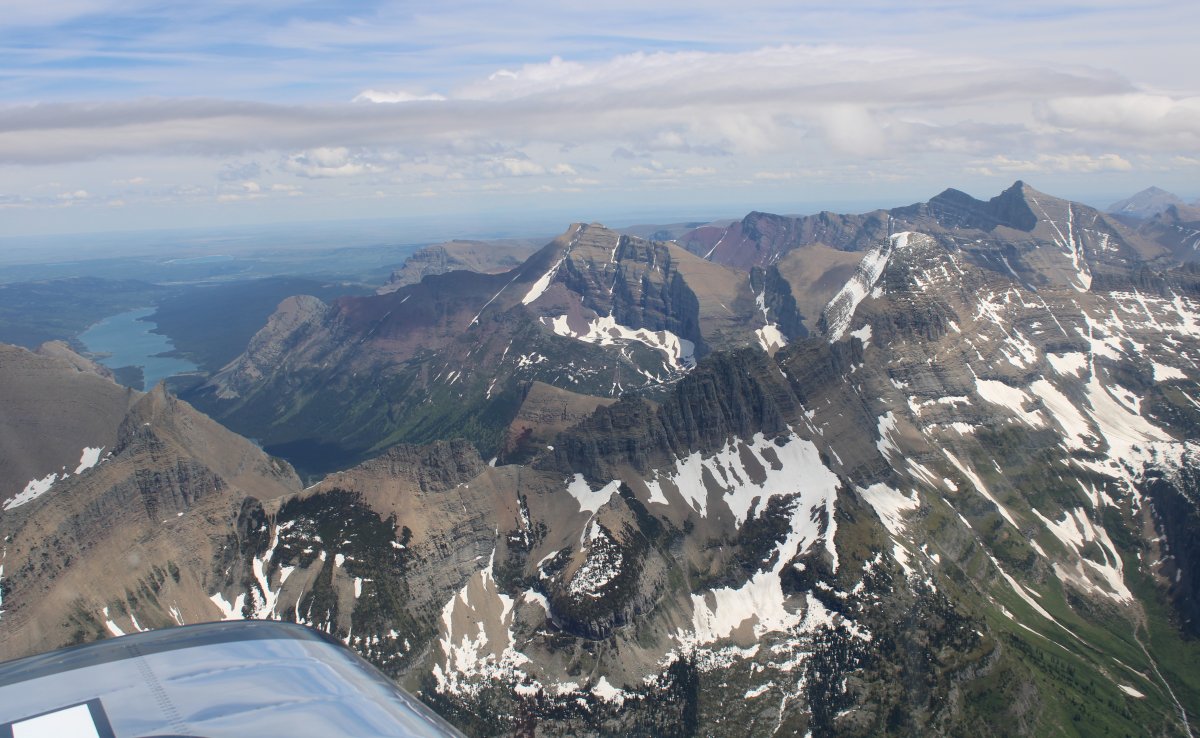
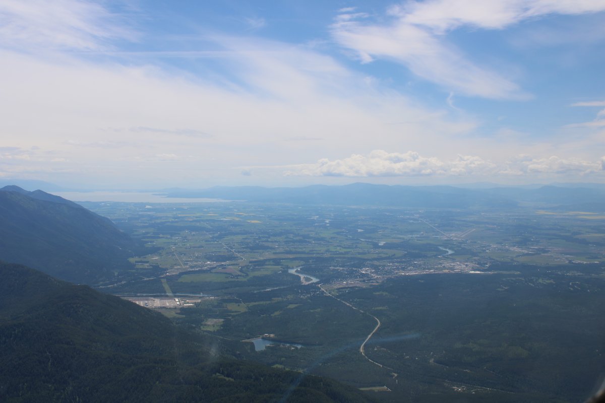
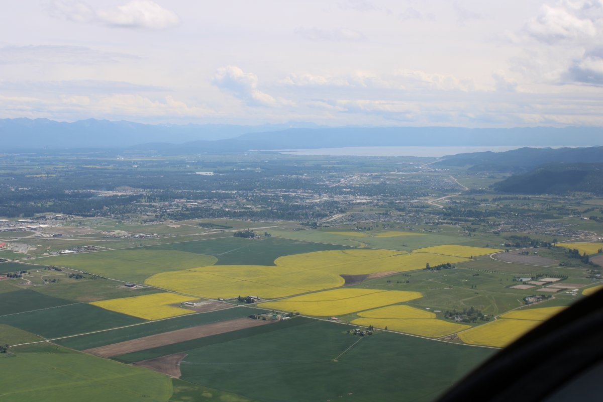
| Approaching the big valley surrounded by mountains on three side and Flathead Lake on the south side, visible in the far distance. |
| |
 |
|
|
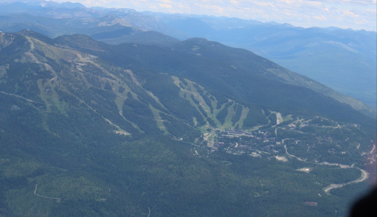
Passing by a big ski resort.
|
| |
 |
|
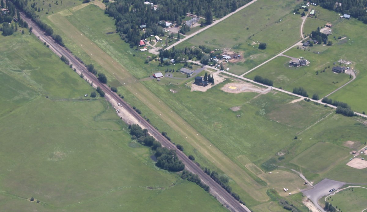
| Whitefish Airport? A public grass strip. Glacier Park International, a big towered airport, is only five miles south of this airport. |
| |
 |
|
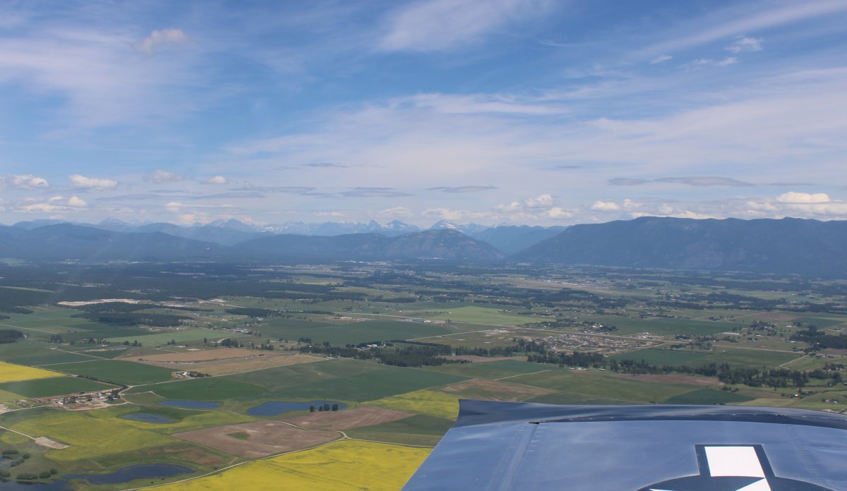
| I skirted around Glacier Park International and scooted down the west side towards Kalispell Airport (S27). |
| |
 |
|
| Looking northeast in the direction I had come, with the snow-topped mountains of Glacier NP just visible in the distance. |
| |
 |
|
|
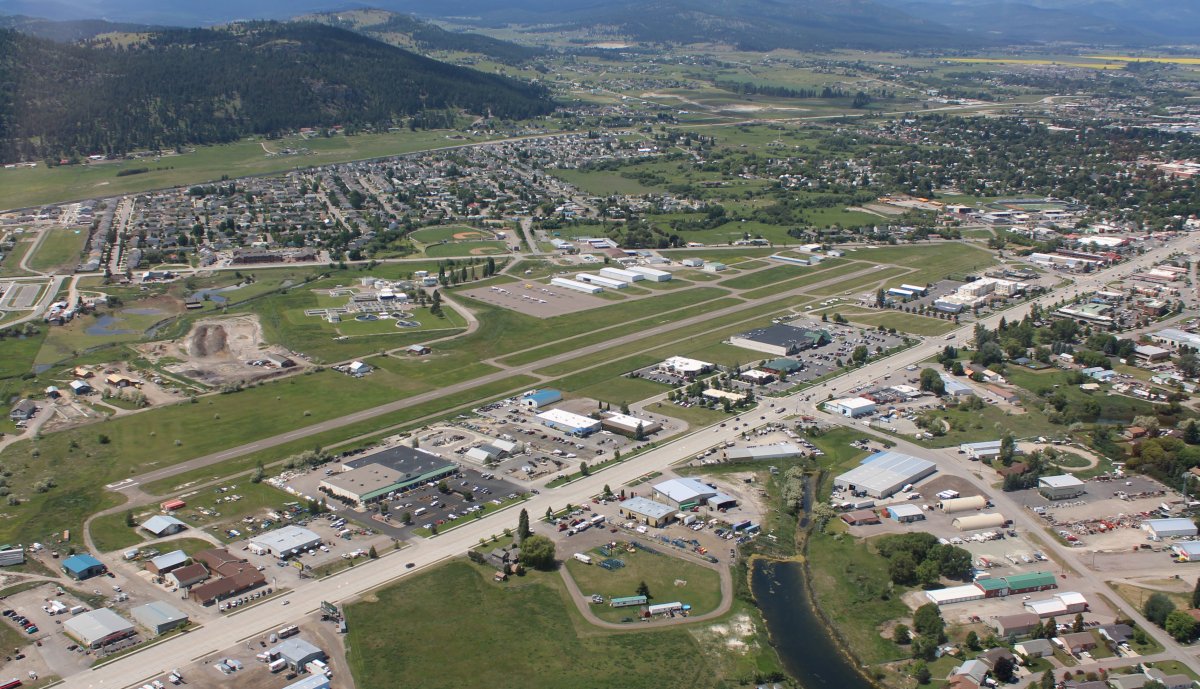
A nice shot of Kalispell Airport. What makes this airport unique is that it right next to a bunch of hotels, motels and restaurants. No need for transporation at this airport.
|
| |
 |
|
|
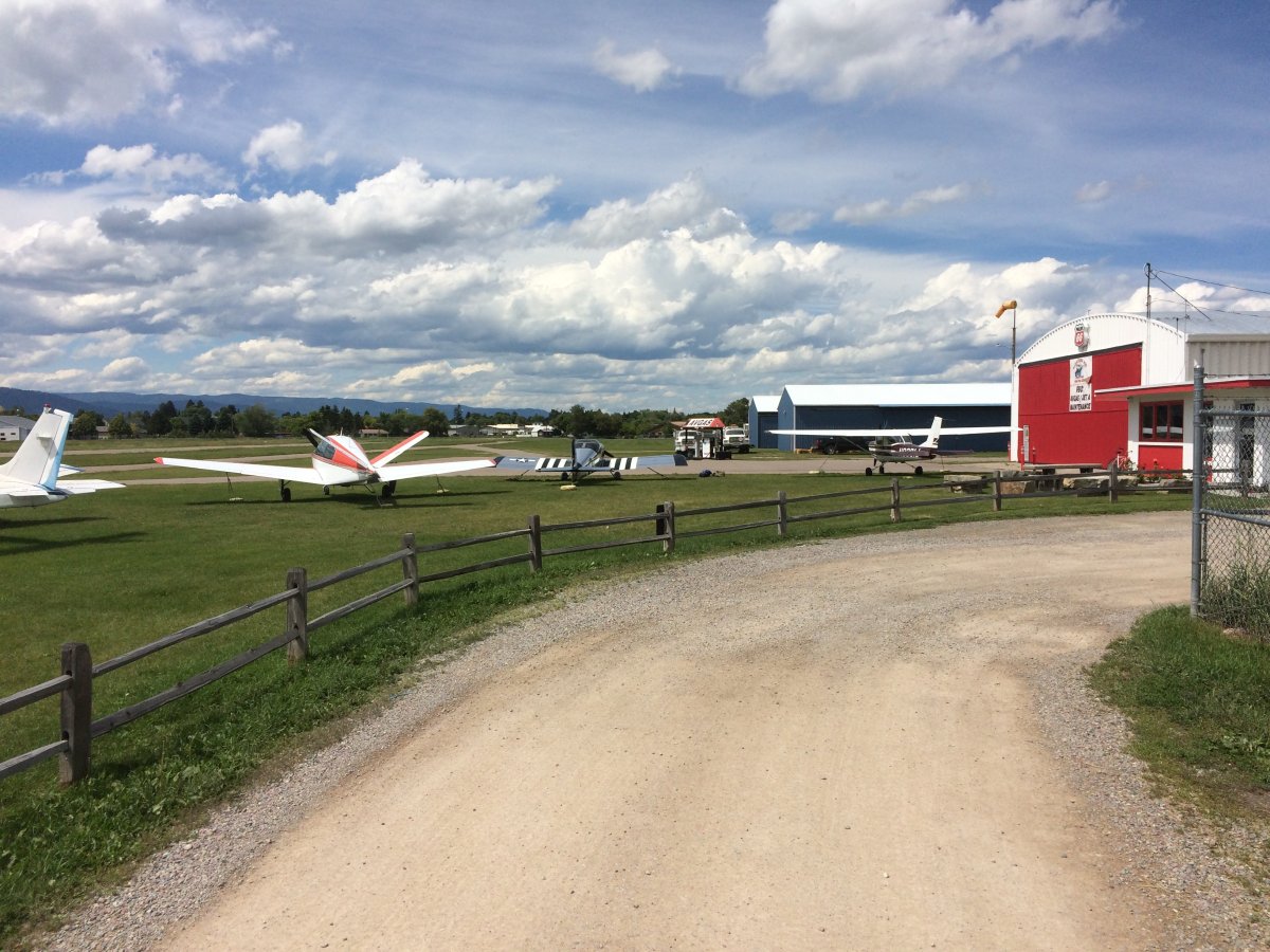
Safe on deck and done for the day at Kalispell Airport. There are tie-downs available on the grass. The FBO office was attended by a friendly couple. Plus it was a busy place and I talked to a number of pilots. I had a reservation at the nearby Aero Inn which was 100 yard walk. Very convenient.
I didn't spend a lot of time flying around Glacier NP; mainly I just followed the Going-To-The-Sun-Road through the park. Truth be told, I was a little freaked out flying among the big, snow-covered mountains. I wouldn't mind spending a couple days based here at Kalispell or Choteau and exploring the mountains a little more. But not this trip.
|
| |
 |
|
| |
| |
|
|
|
|
|
|