June 29, 2019 - Flight West - Day Four Part II
|
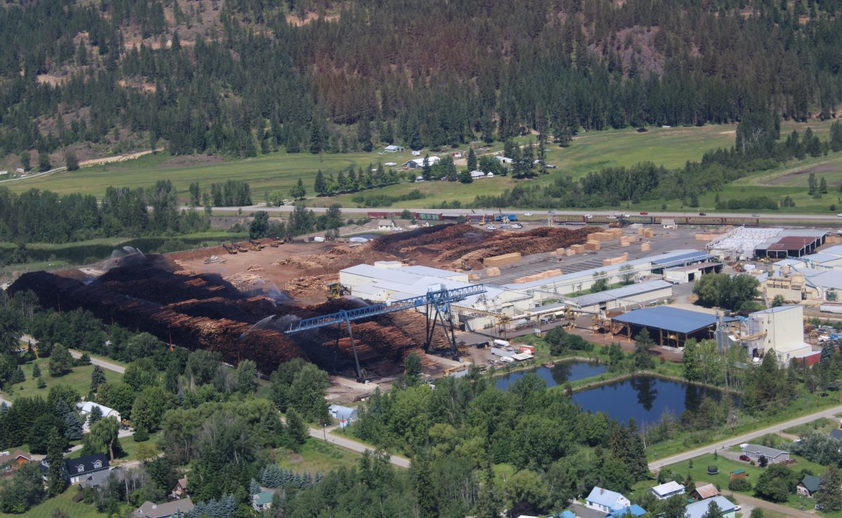
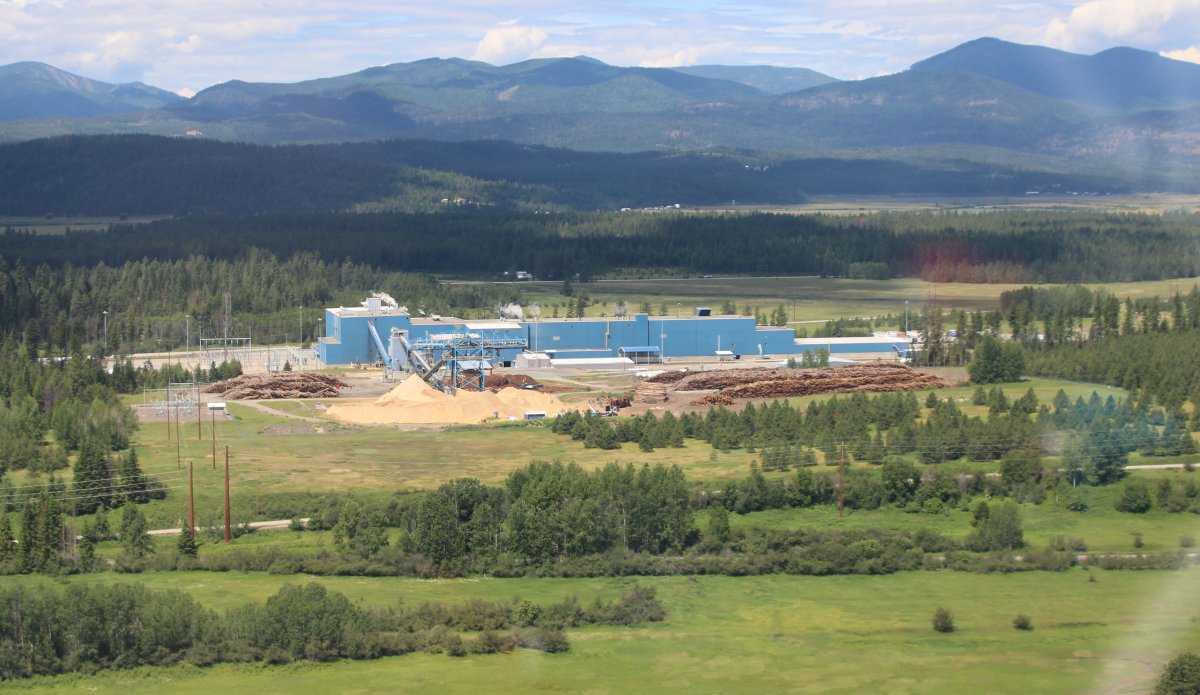
| The Pend Oreille River enters the Lake from the west right at Sandpoint so I just headed west up the river. Right away I encountered this big lumber mill. Again with the log watering! |
| |
 |
|
|
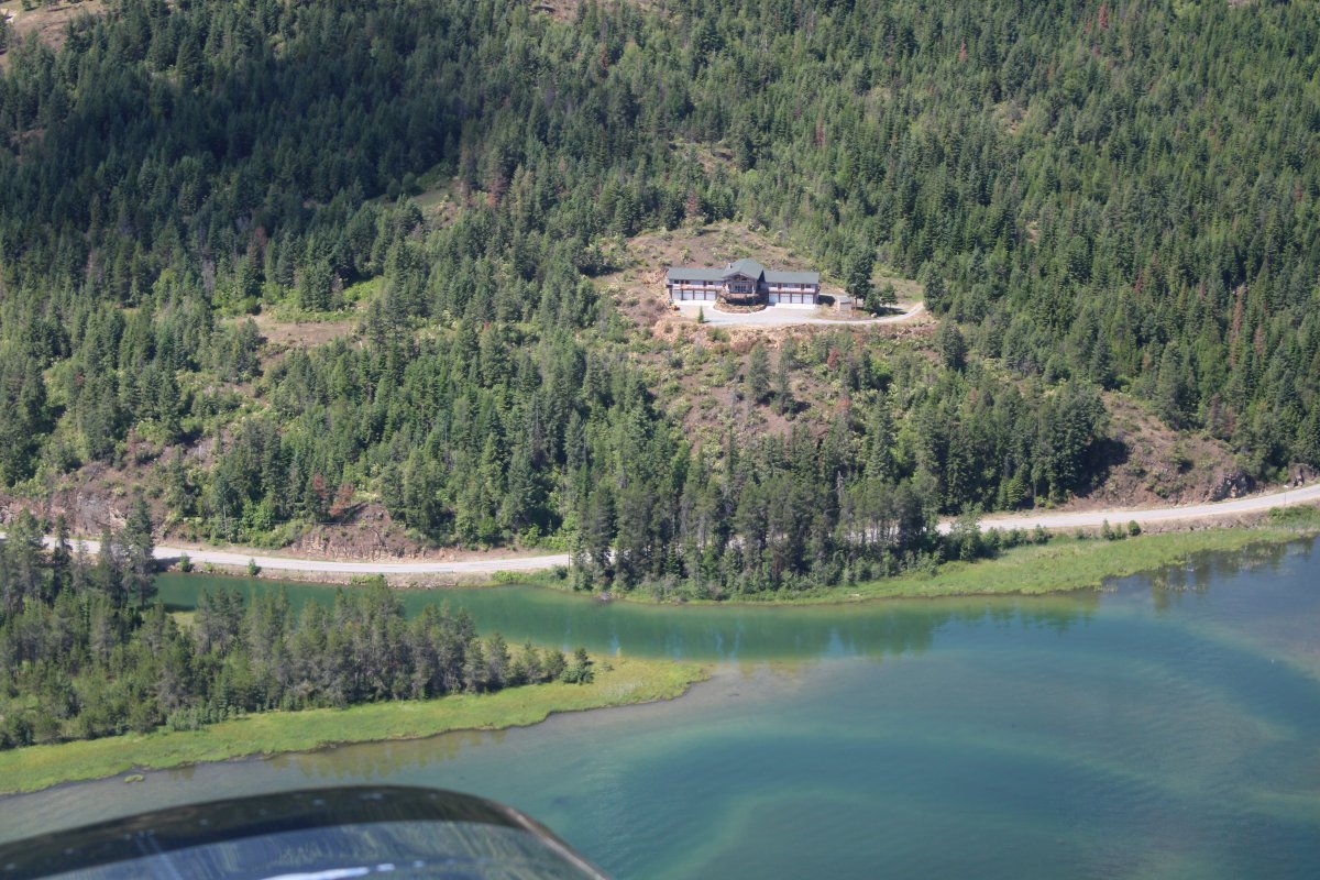
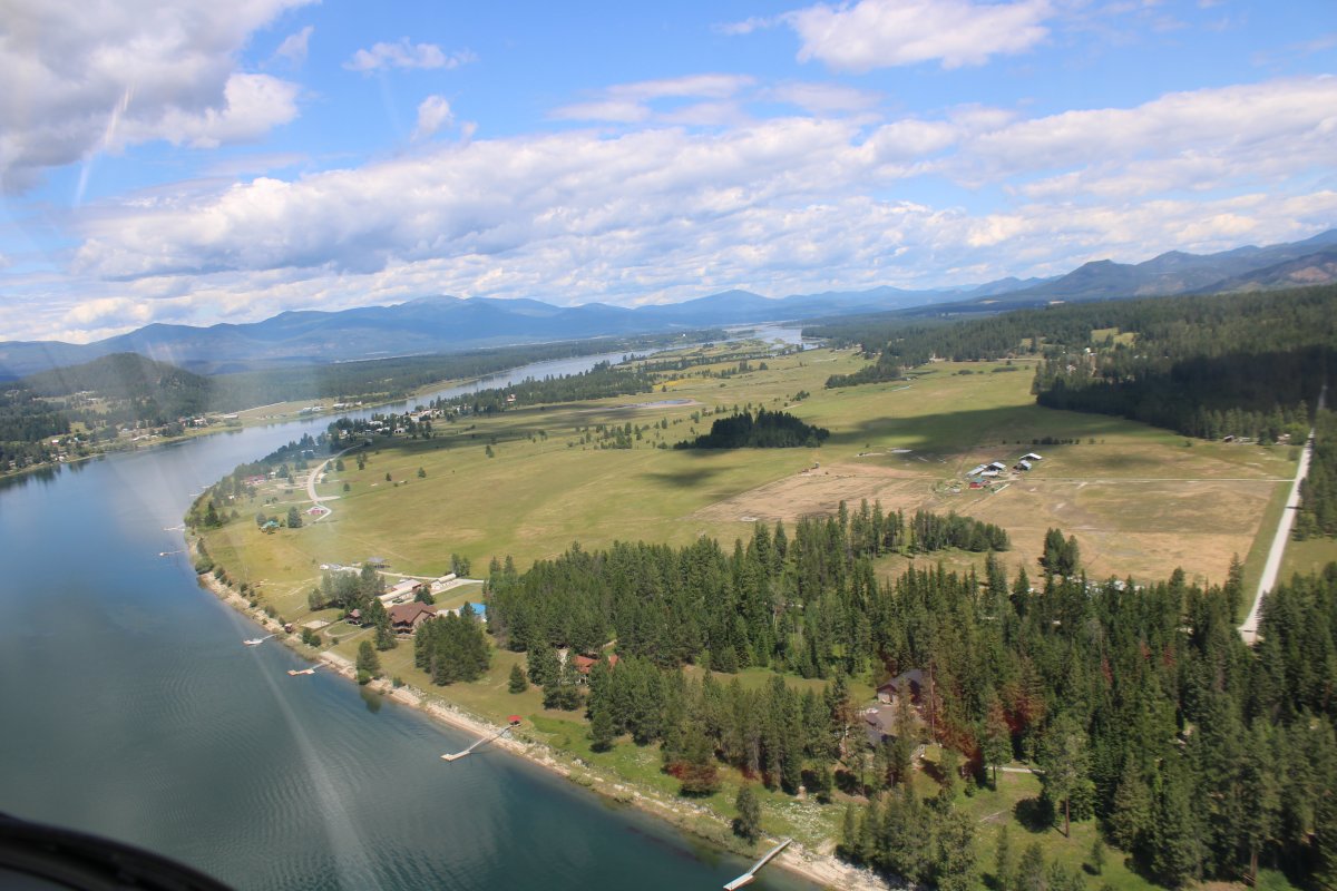
Nice waterview from this house.
|
| |
 |
|
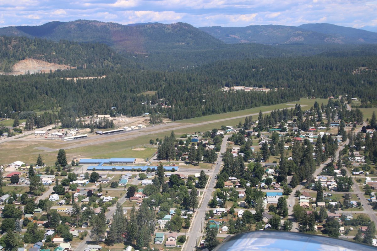
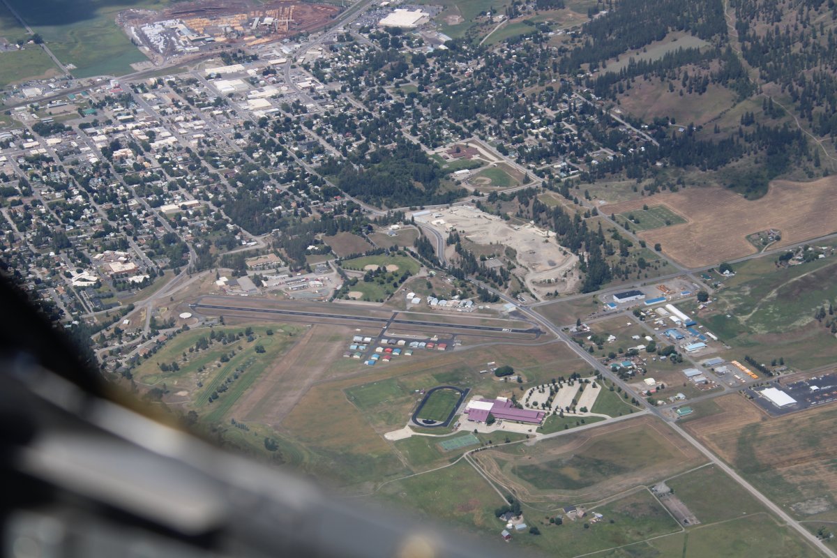
| Passing by Priest River Airport (1S6) |
| |
 |
|
|
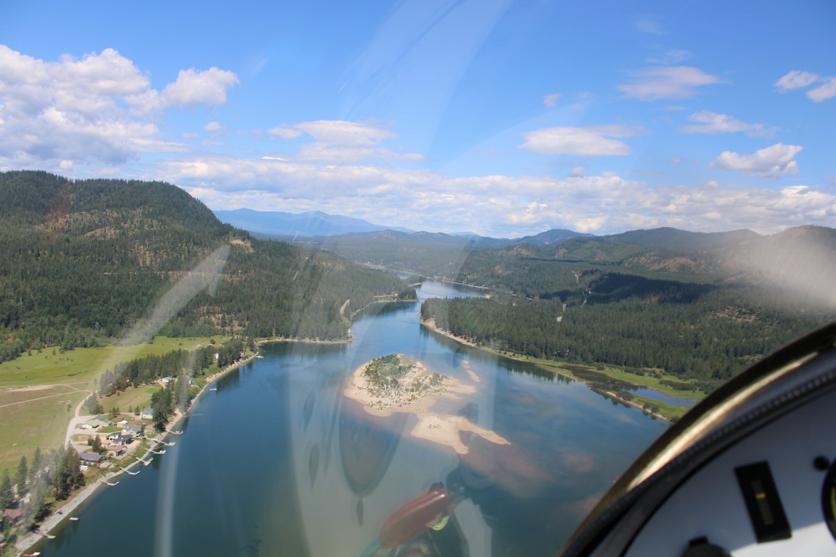
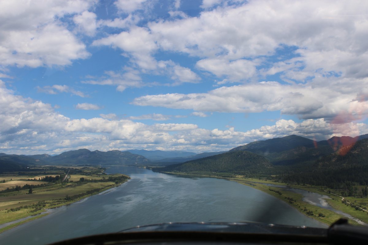
The river gradually turned north. I crossed into Washington State somewhere around here.
|
| |
 |
|
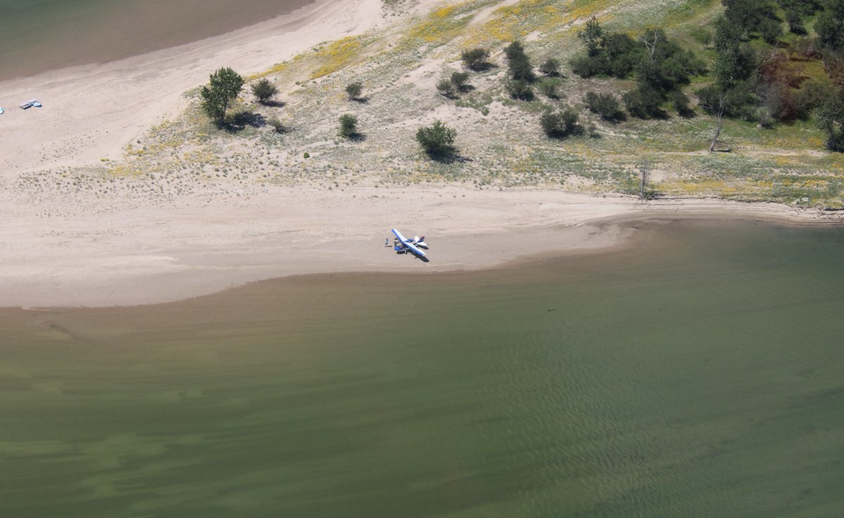
| I spotted a SeaRey sitting on this sandbar. Living the dream! |
| |
 |
|
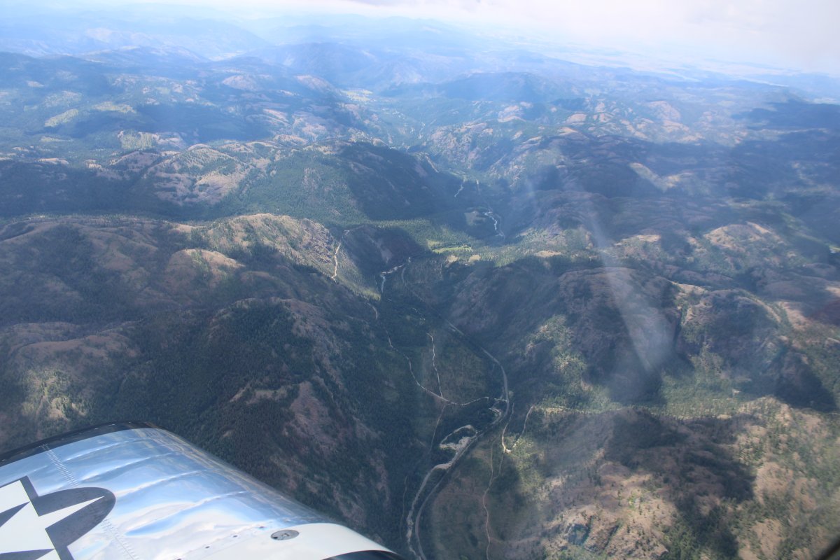
| Pretty country, up here in northern Idaho and northeast Washington, close to the Canadian border. |
| |
 |
|
| Passing another lumber mill. Look at that gigantic pile of sawdust! |
| |
 |
|
|
Heading north up the river.
|
| |
 |
|
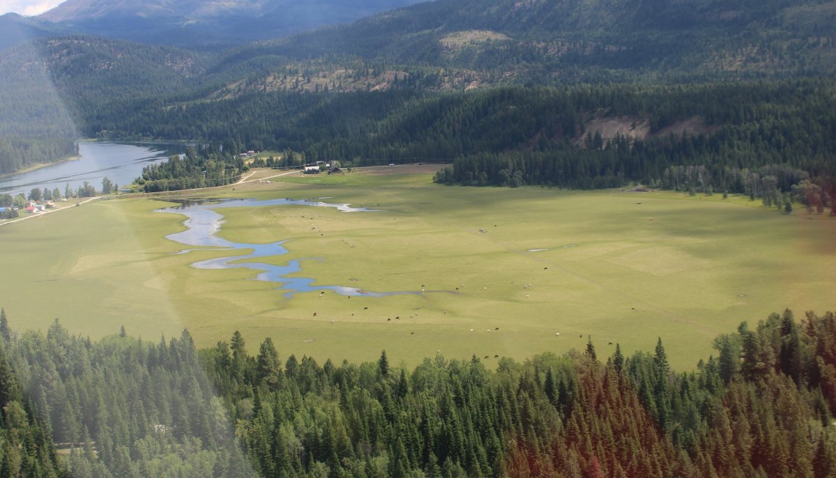
| But heading north wasn't getting me any closer to Seattle so after passing this pretty meadow, I turned west and started climbing. |
| |
 |
|
|
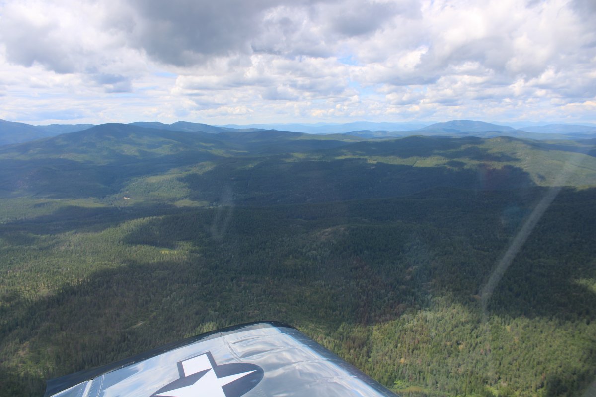
Heading west into the tree-covered hills and wilderness.
|
| |
 |
|
| Looking back at the Pend Oreille River to the north. |
| |
 |
|
| And to the south, from where I had come. |
| |
 |
|
| Looking down at Colville Airport (63S) which sits in the Colville river valley. |
| |
 |
|
|
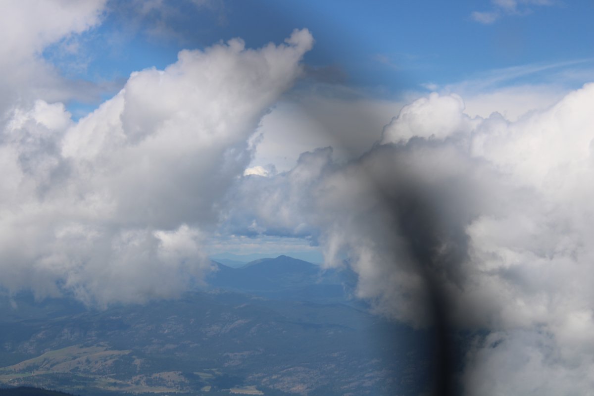
I climbed above some cumulous clouds to stay high.
|
| |
 |
|
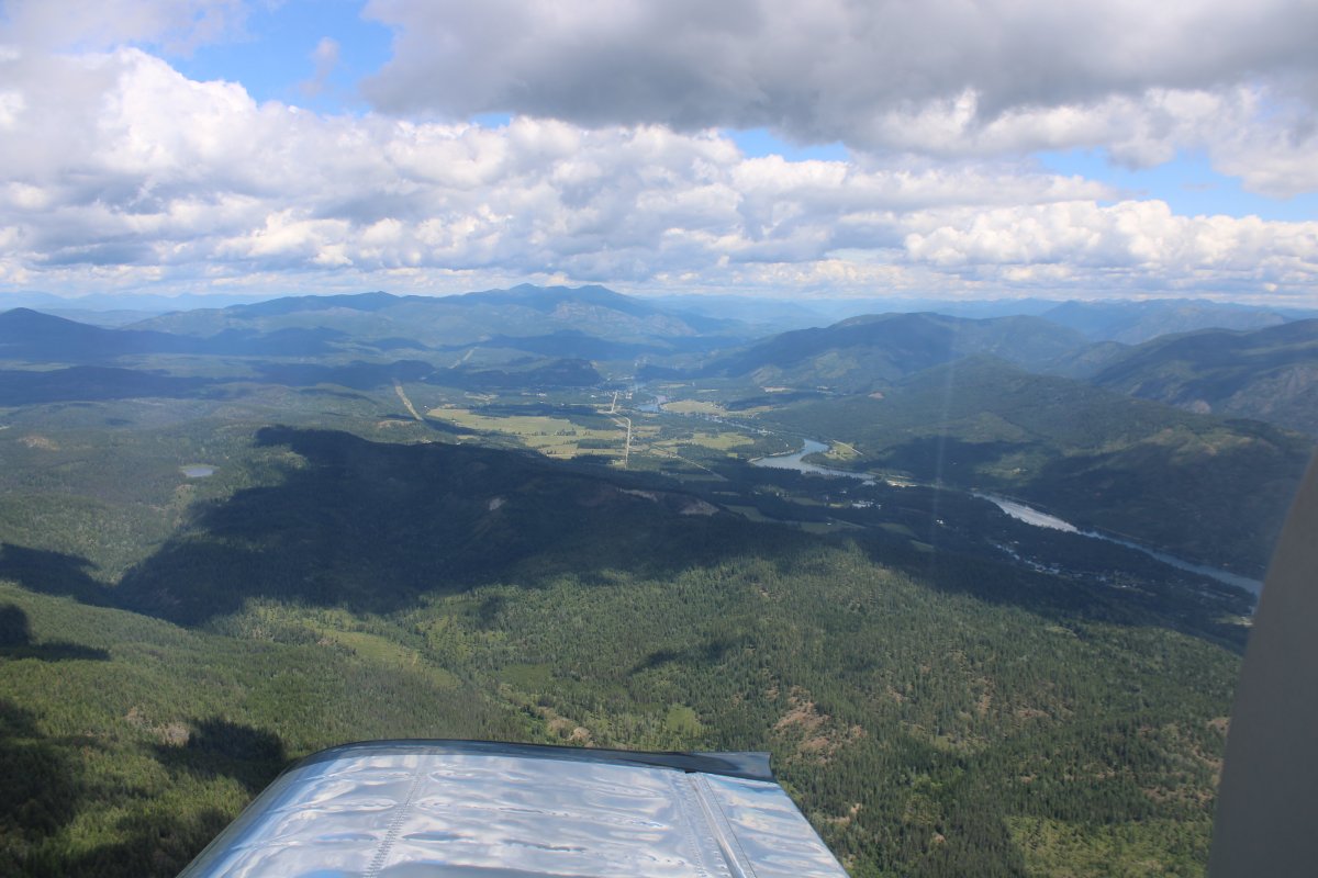
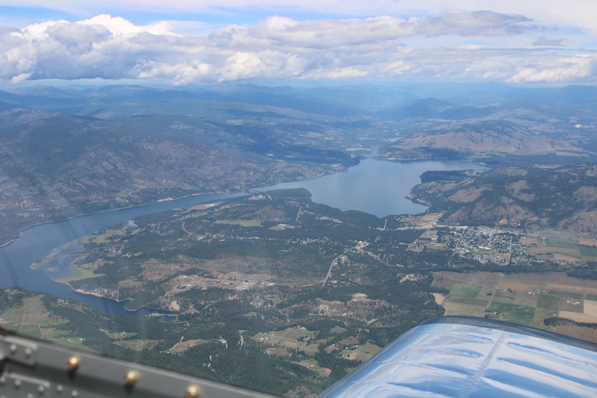
| Approaching the Columbia River. The little town of Kettle Falls is off the right wing. |
| |
 |
|
|
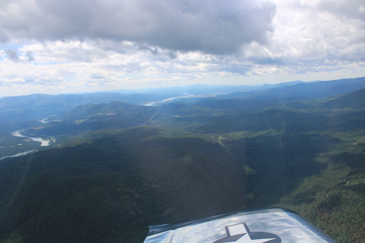
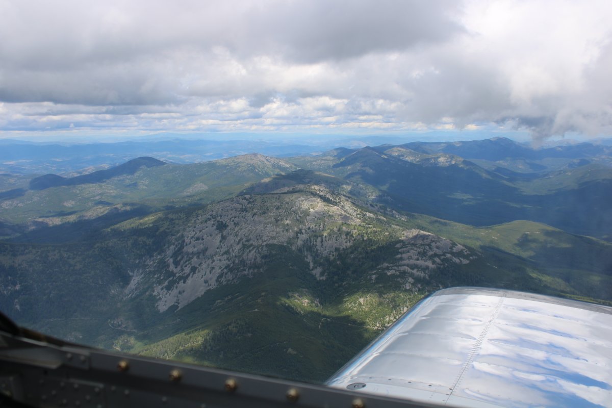
Crossing the Kettle River Range. The highest mountain in this range here is off my right wing and is 7,140 feet high.
|
| |
 |
|
| Looking down at the Sanpoil River. |
| |
 |
|
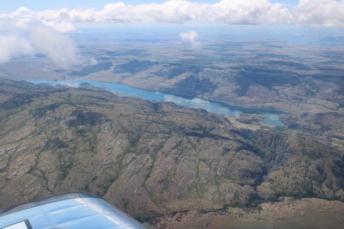
| Omak Lake to the south. |
| |
 |
|
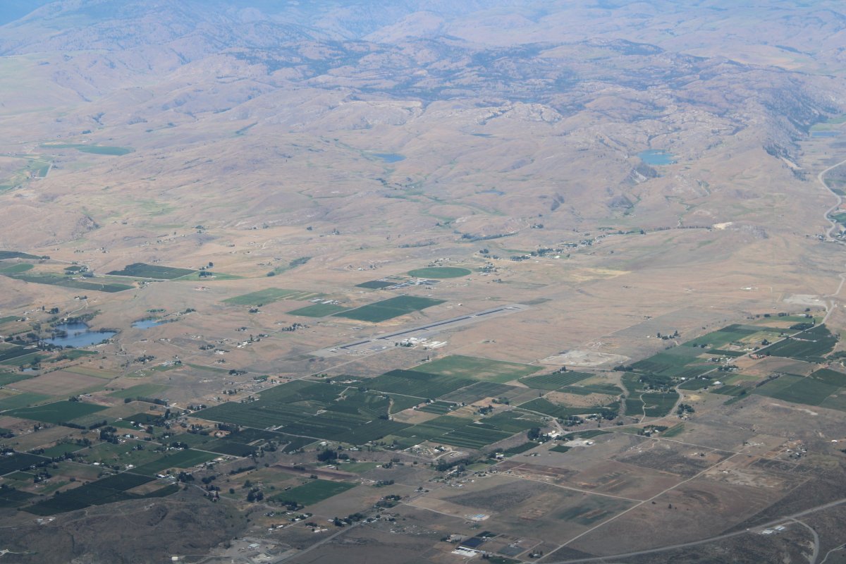
| Omak Airport (KOMK), north of the town of Omak. |
| |
 |
|
|
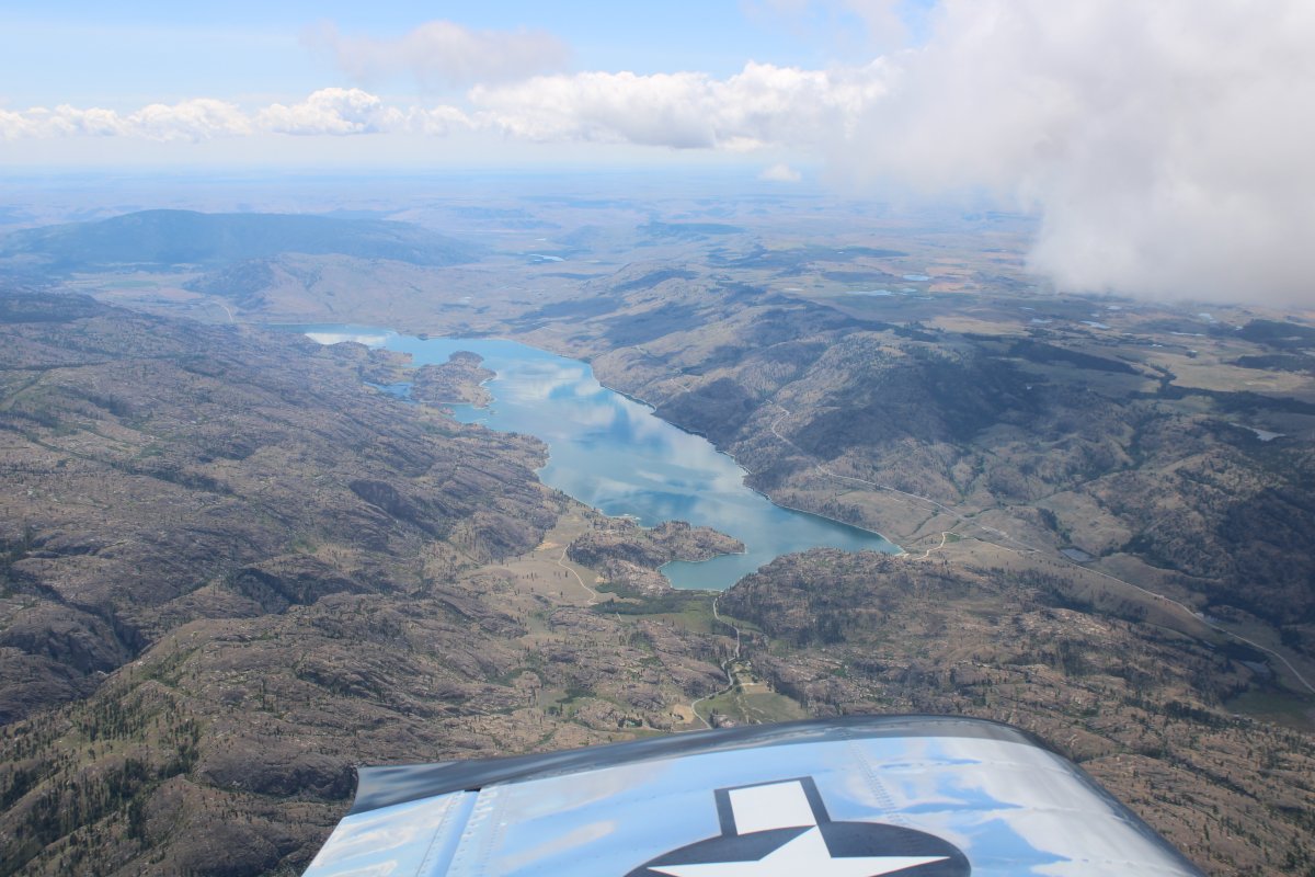
A better look at Lake Omak, south of town.
|
| |
 |
|
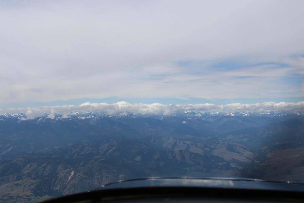
| Only 120 nautical miles from my destination at Whidbey Island, but it appears I have some snow-topped mountains to cross: the Cascades. |
| |
 |
|
|
|
| |
 |
|
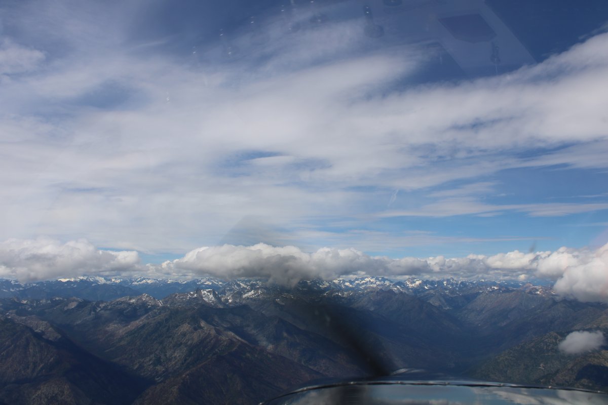
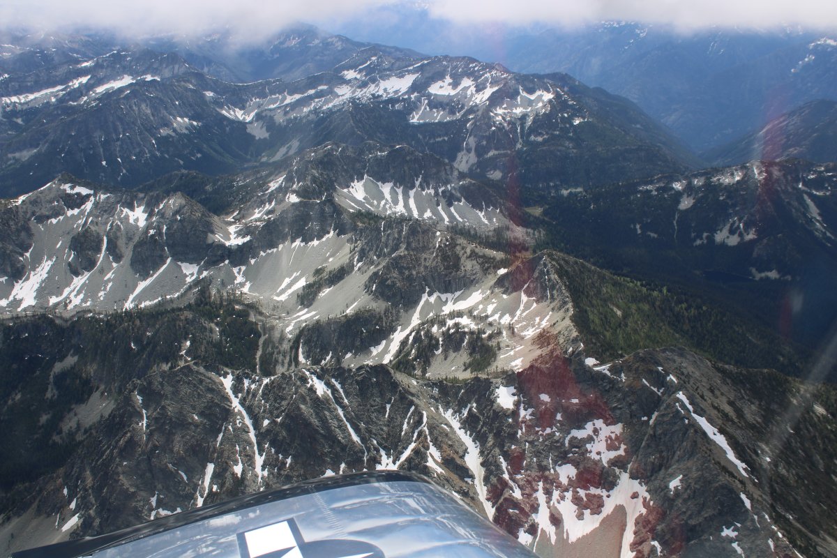
| Flying through the Cascades. I feel like I'm back in Glacier National Park! |
| |
 |
|
|
I think that is Twisp Pass below.
|
| |
 |
|
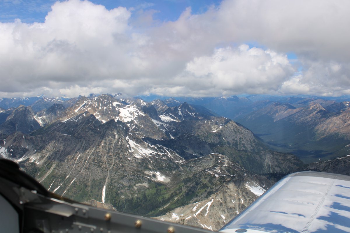
| Awesome view to the south. |
| |
 |
|
| Not bad to the north, either. |
| |
 |
|
| Rainey Pass heads off to the north. |
| |
 |
|
|
Heading west over the valley below.
|
| |
 |
|
| |
| |
 |
|
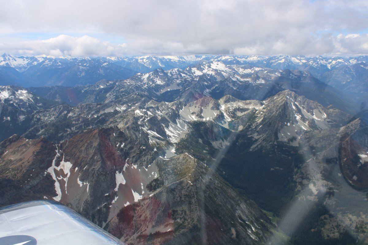
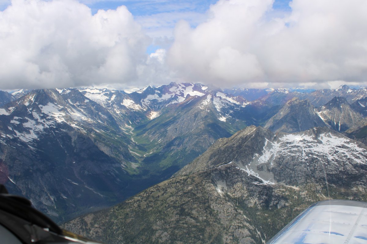
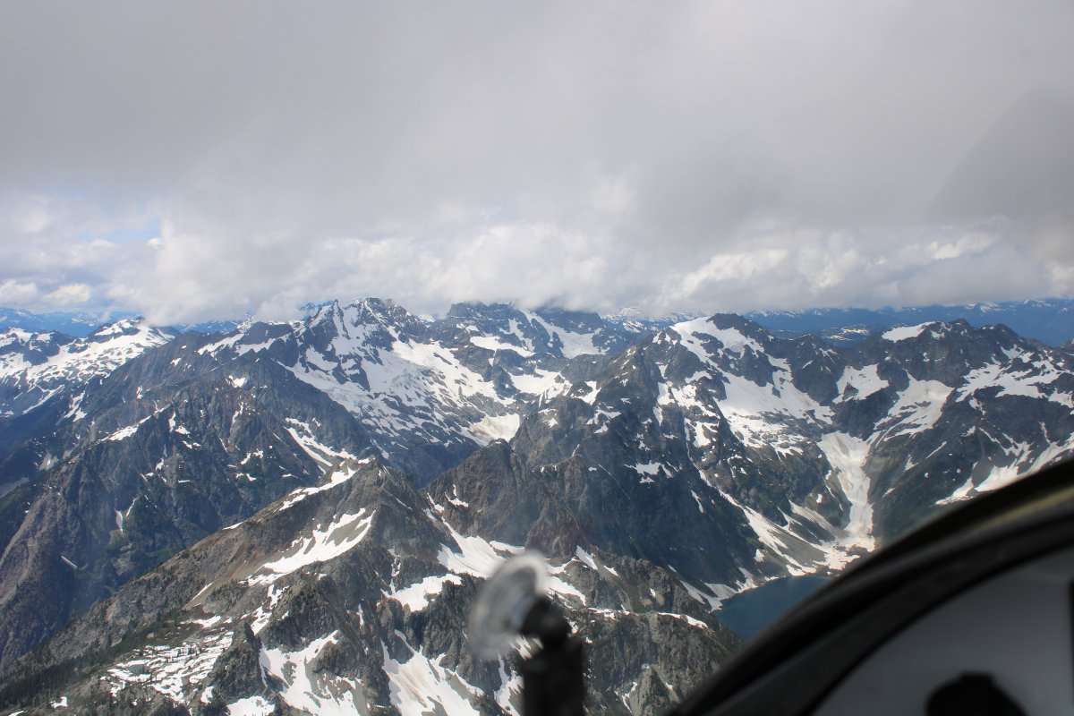
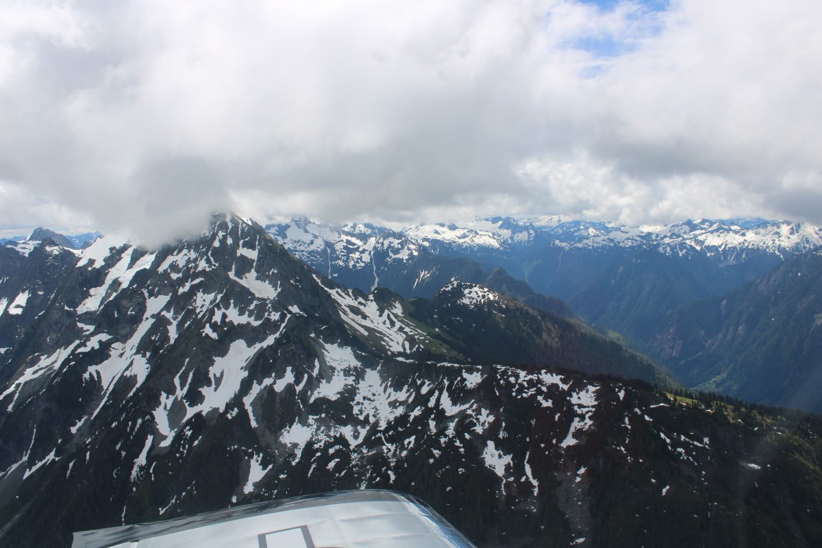
| I really didn't expect snow-covered mountains like this so close to my destination! |
| |
 |
|
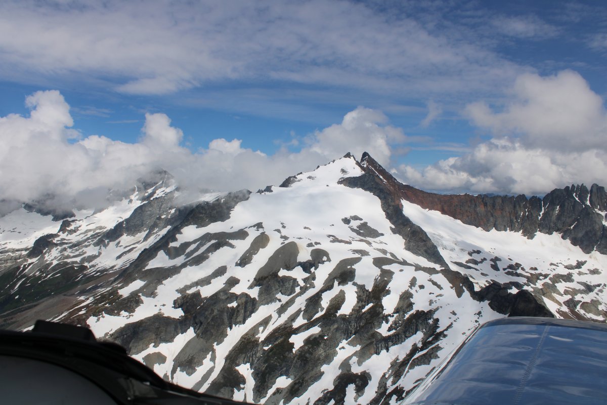
| I believe that is Eldorado Peak on the left and Mount Logan on the right. |
| |
 |
|
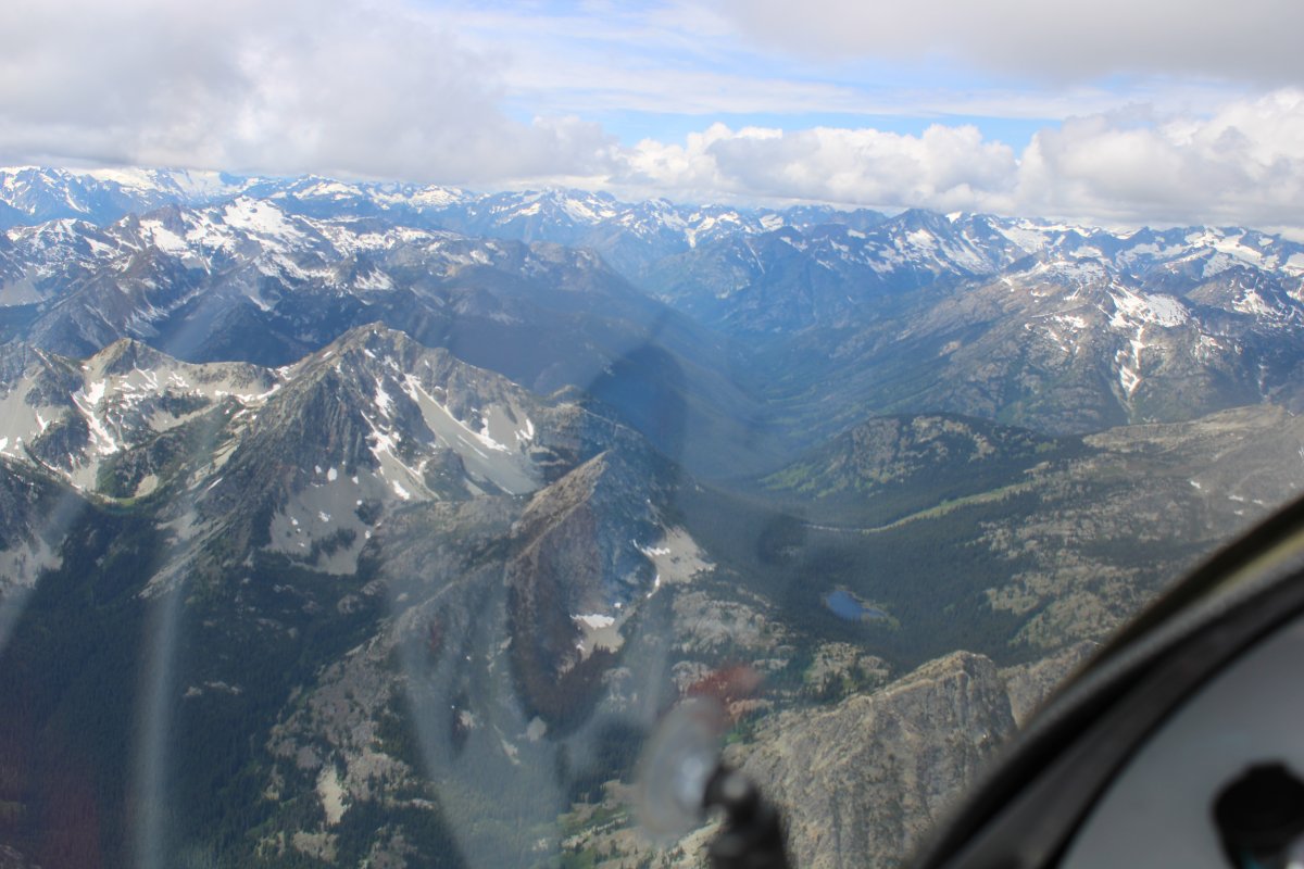
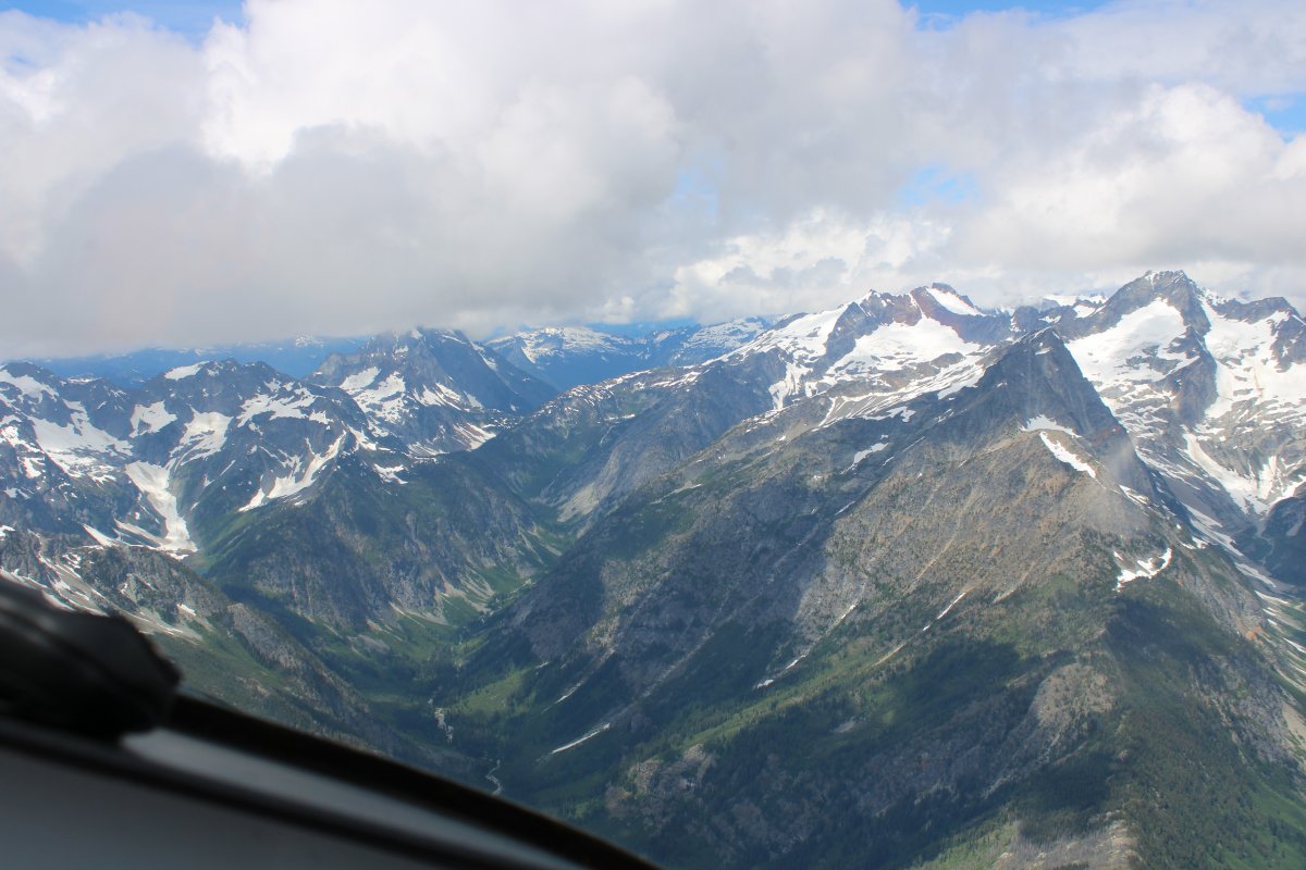
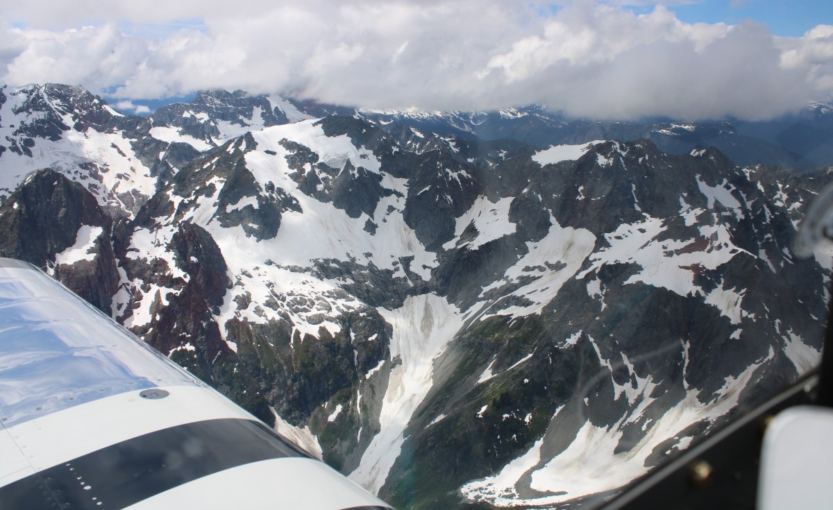
| I'm heading for Cascade Pass off the nose, passing by that big rock on the left at 8,325 feet. |
| |
 |
|
|
That's probably Mount Logan on my right at 9,087 feet.
|
| |
 |
|
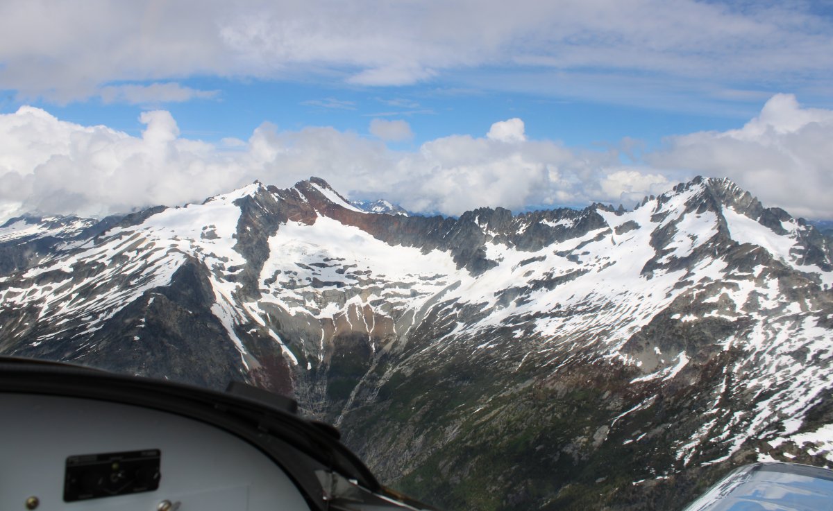
| This mountain on my left has no name. Yes, it's the mountain with no name. |
| |
 |
|
|
Eldorado Peak (8,868) is somewhere behind that cloud.
|
| |
 |
|
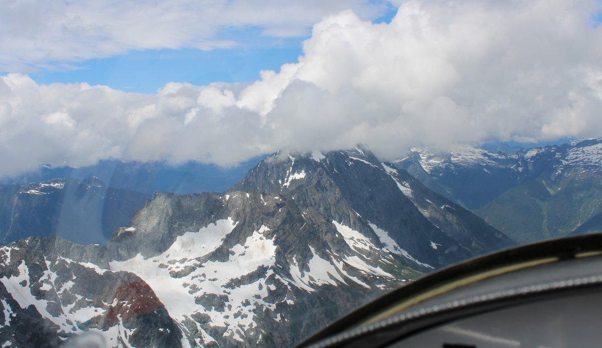
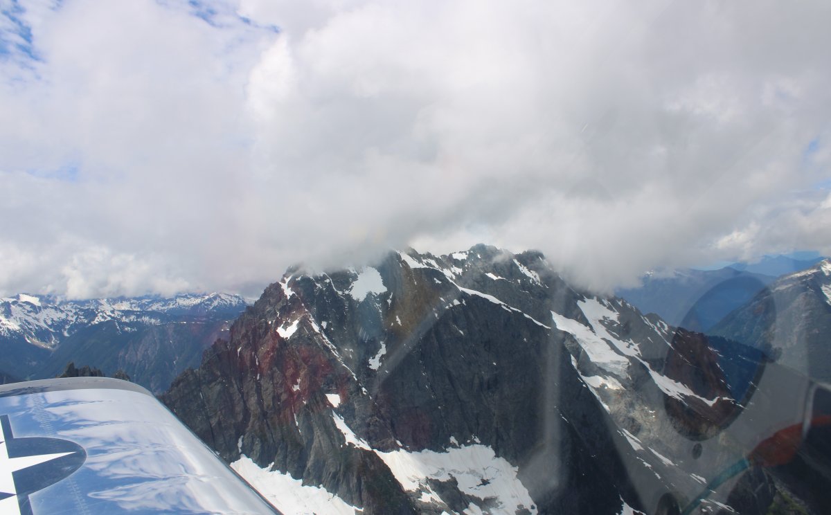
| Entering Cascade Pass. These passes are annoted on the aeronautical chart and I now understand why! |
| |
 |
|
| |
| |
 |
|
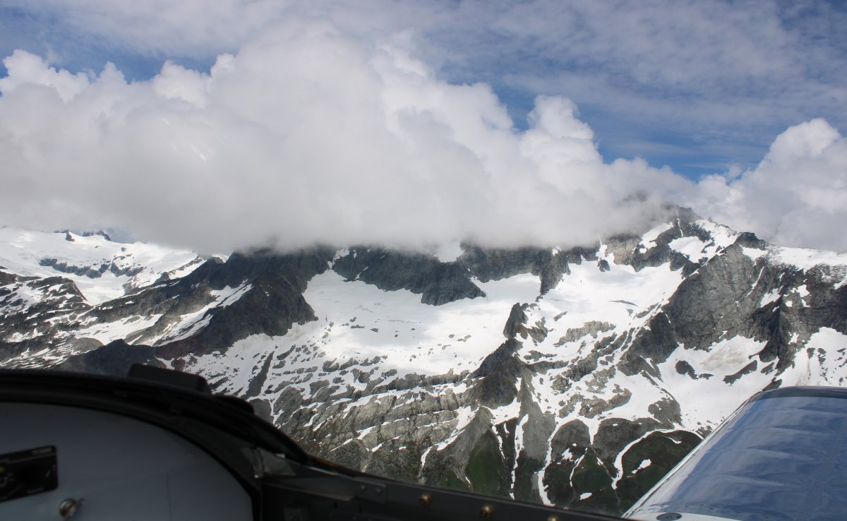
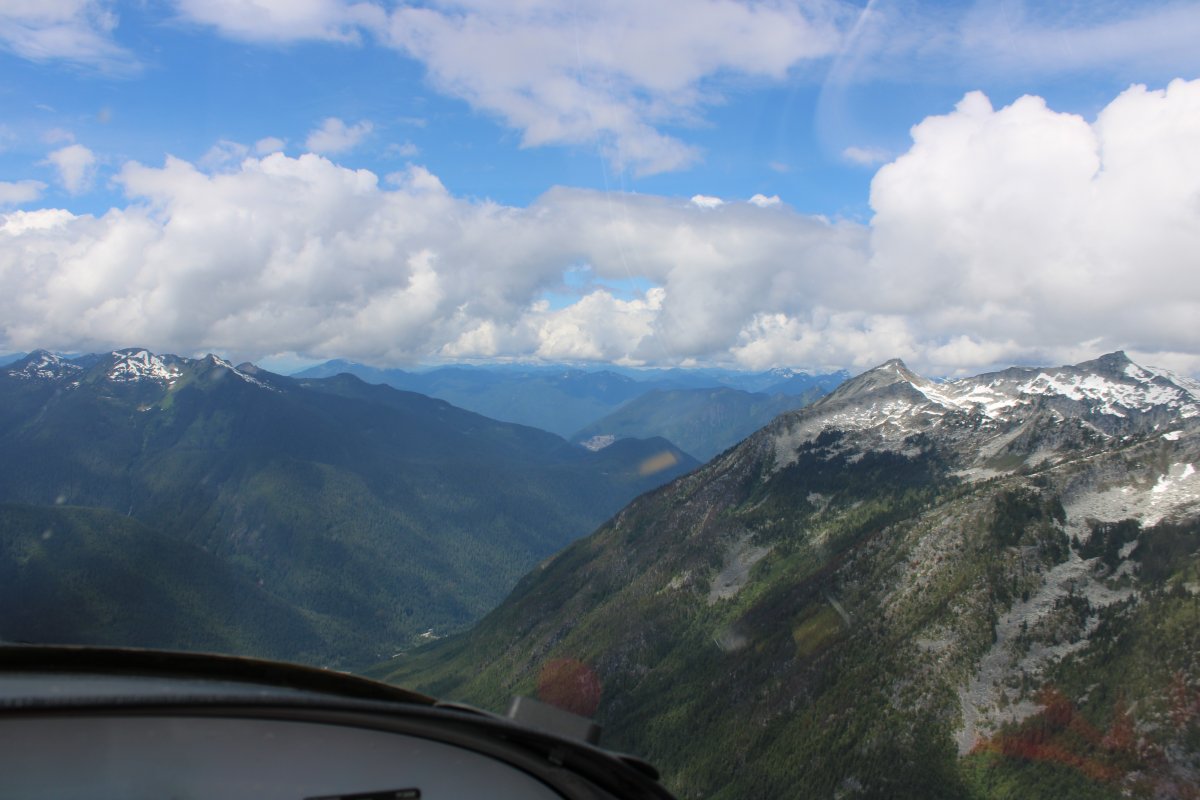
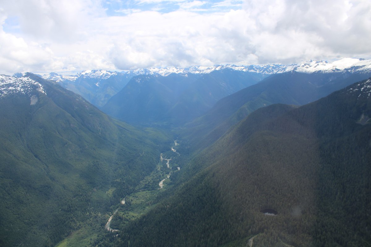
| On the west side of Cascade pass is this valley which I would follow all the way to the coastal plains. |
| |
 |
|
|
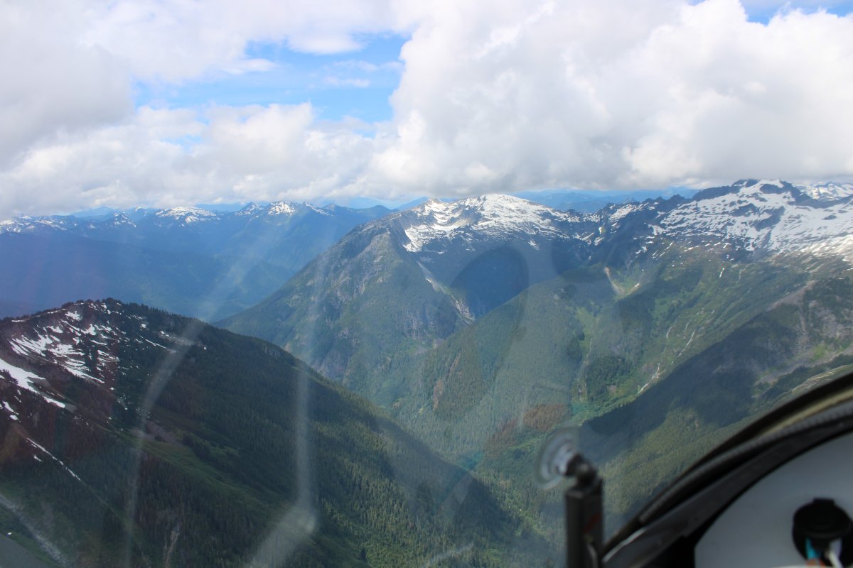
Looking back at the way I had come. That's the Skagit River down there.
|
| |
 |
|
| The mountains get smaller and become tree-covered. |
| |
 |
|
|
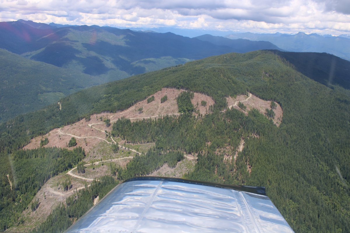
A logging road goes up the side of the mountain.
|
| |
 |
|
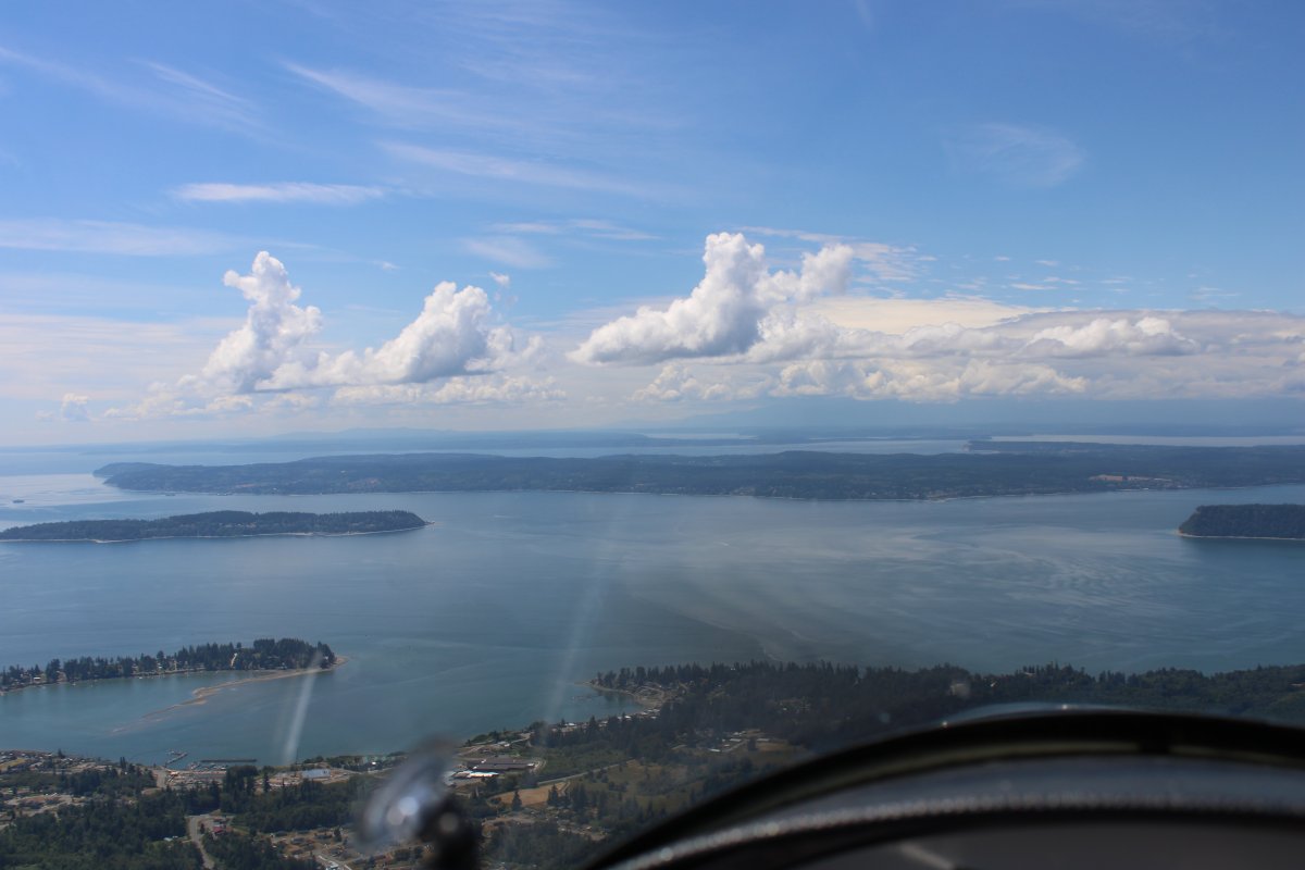
| And there is Puget Sound in the distance! It is a neat feeling to realize I have crossed a continent in my plane. |
| |
 |
|
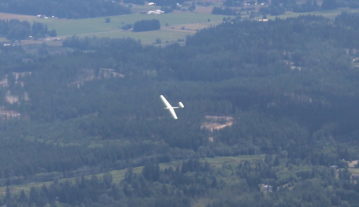
| I pass a glider thermalling around Arlington Municipal Airport. |
| |
 |
|
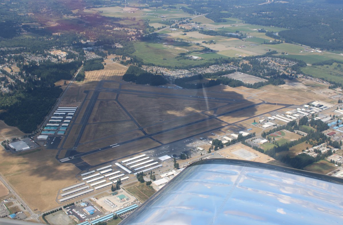
| Speaking of Arlington Airport, there it is down below. I've heard of it -- the Northwest Fly-In here was the third largest in the nation, after AirVenture and Sun N' Fun. Don't know if it still is or not. |
| |
 |
|
|
Whidbey Island dead ahead.
|
| |
 |
|
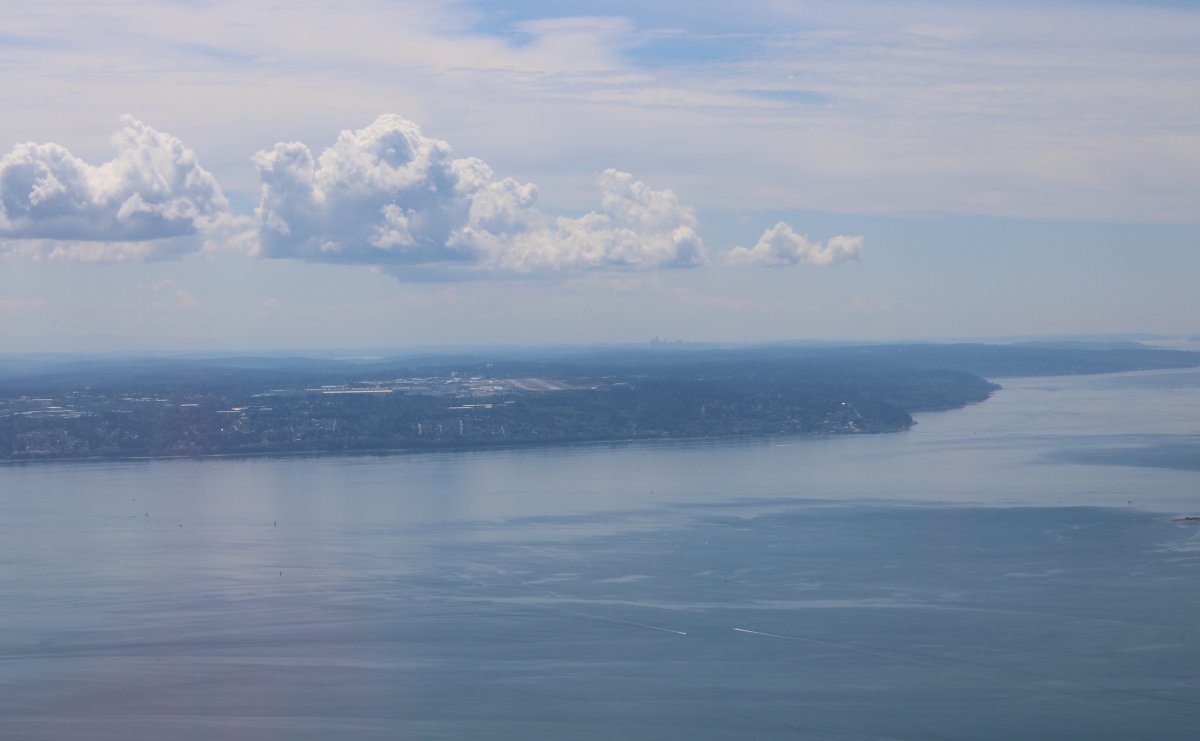
Paine Field is off my left wing. Paine Field is home to the huge Boeing factory -- largest building in the world by volume -- where they build the 787, 777, and 747 and 737. It is also home to Paul Allen's Flying Heritage Collection which I visited back in 2015. |
| |
 |
|
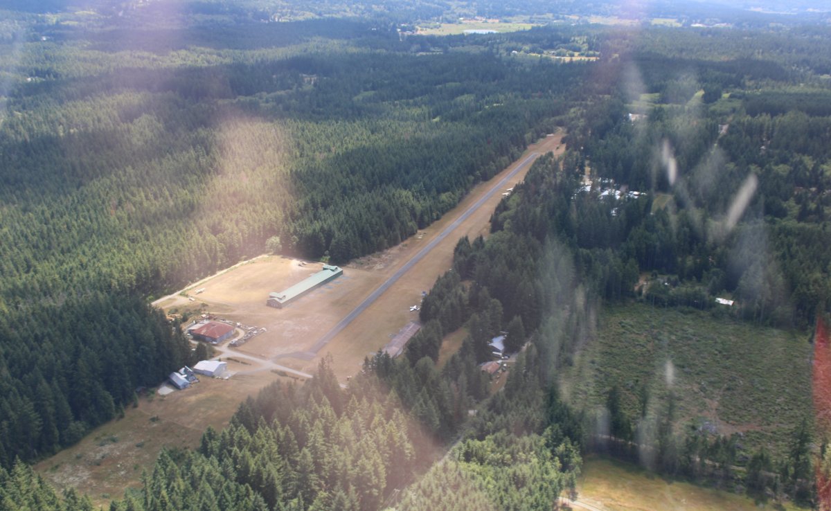
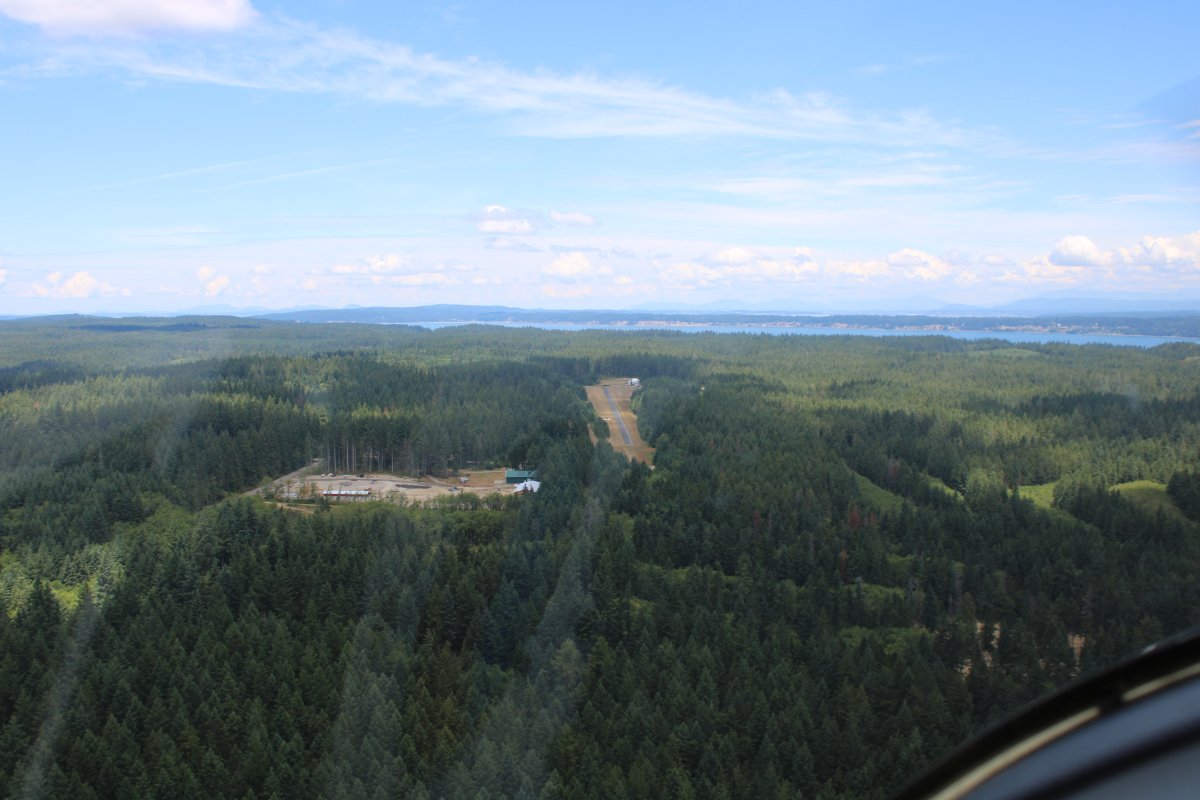
| A brief hop across the Sound and soon I was overhead Whidbey Air Park. |
| |
 |
|
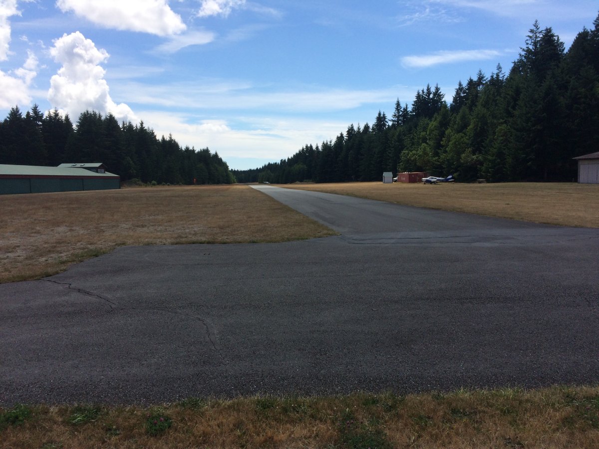
| Turning final for Whidbey Air Park. |
| |
 |
|
| Safe on deck! Whidbey Air Park is a privately-owned public airfield. |
| |
 |
|
|
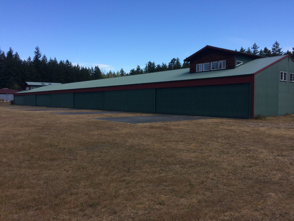
Unusual but nice hangar building. I tied down the RVon the grass behind this hangar.
|
| |
 |
|
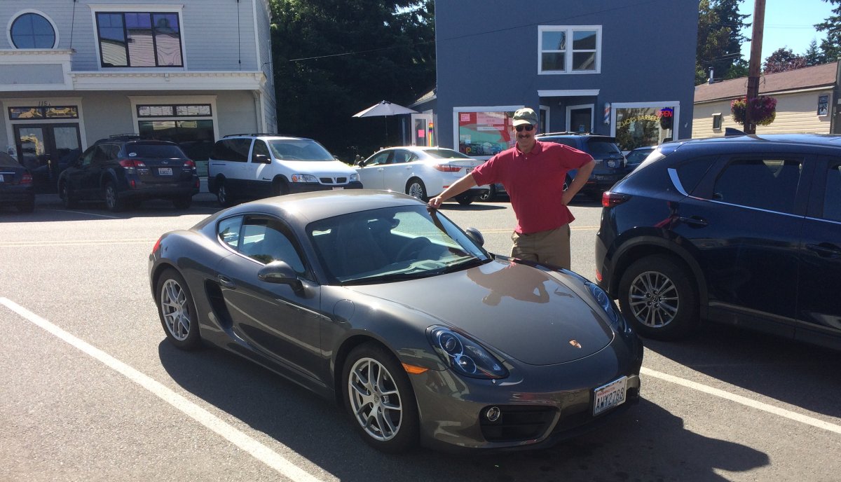
| Big Stan picked me up in his Porsche and showed me around the town of Langley. Stan lives here on Whidbey Island and I'll be staying with him for a few days. We go way back. |
| |
 |
|
|
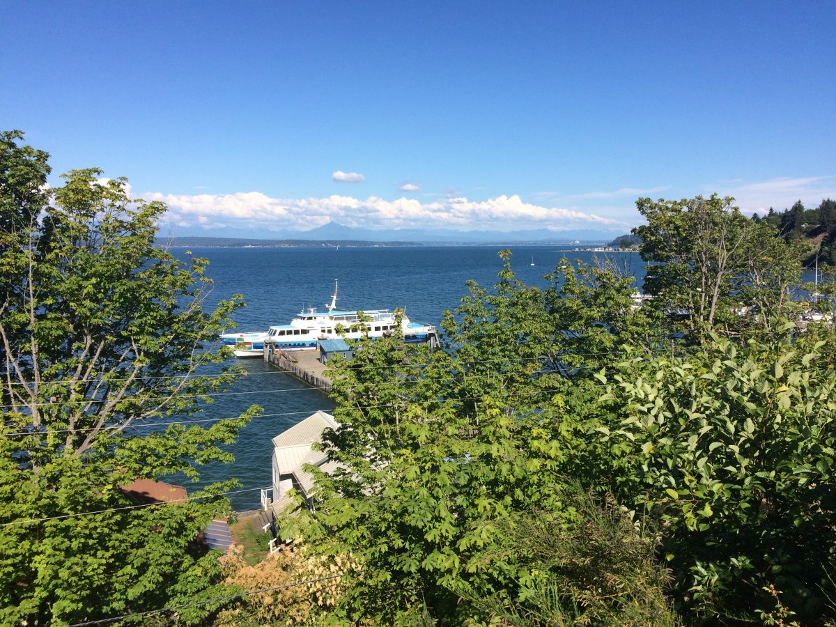
The view from Langley town. Nice.
After four full days of flying, I am looking forward to some down time and relaxation.
|
| |
 |
|
| |
| |
|
|
|
|
|
|