June 28, 2019 - Flight West - Day Three Part II
|
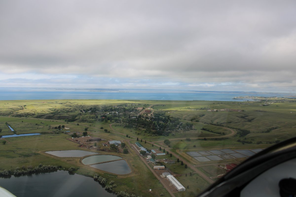
| Looping around the north side of the Dam, I approached the small town of Fort Peck -- population 233! Some of the buildings are leftover from what the Army Corps of Engineers built for the construction workers who built the Dam back 1934. The large Fort Peck Lake is in the background. |
| |
 |
|
|
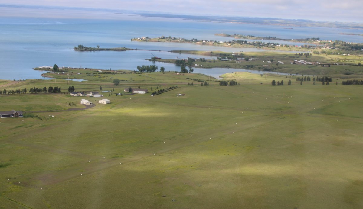
Flying over Fort Peck Airfield, which is a public airport with all grass runways. I landed here back in 2010. It is actually a little community airport.
|
| |
 |
|
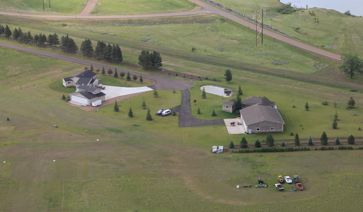
| Nine years ago, the guy who owned the house on the right drove me around the town and the Dam. Nice guy. |
| |
 |
|
|
But I had to keep moving so I continued on.
|
| |
 |
|
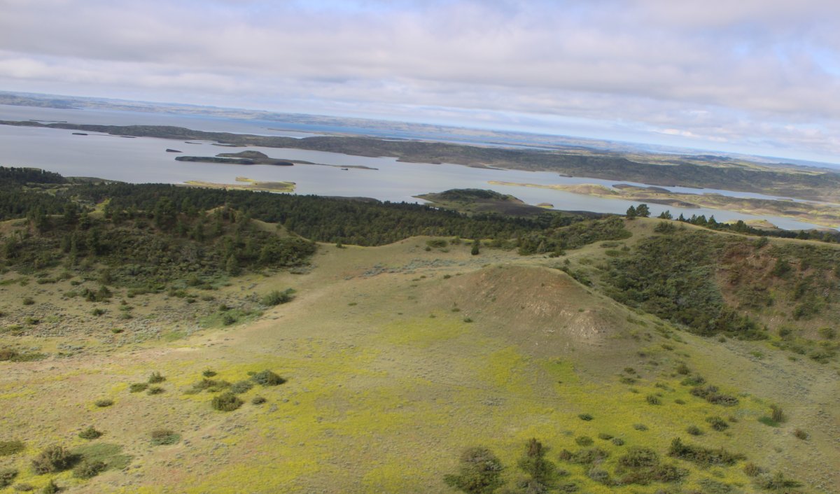
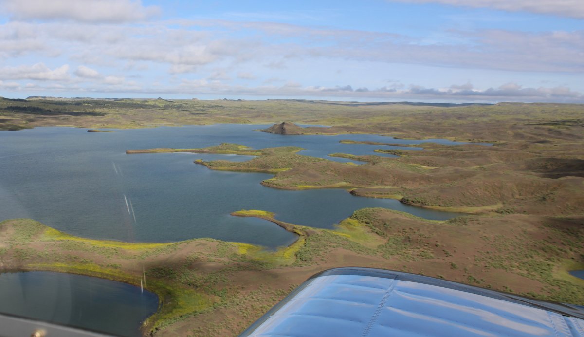
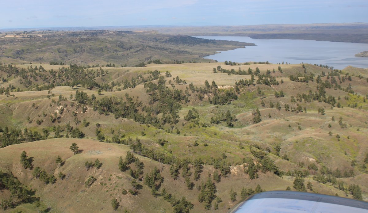
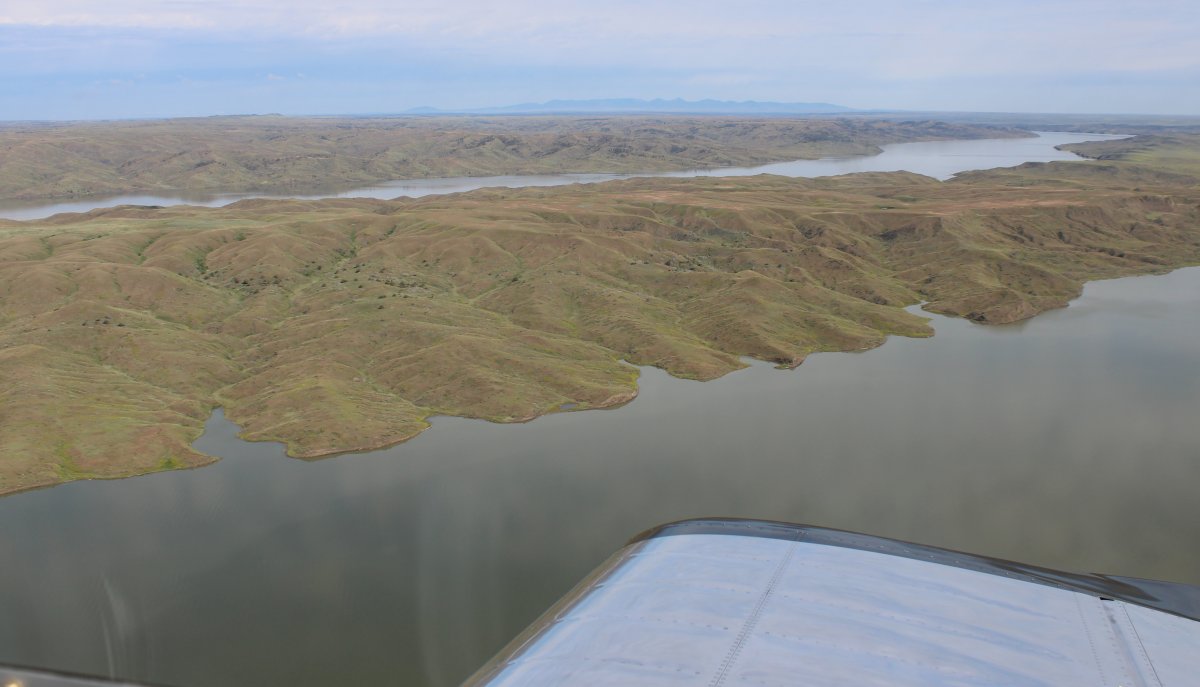
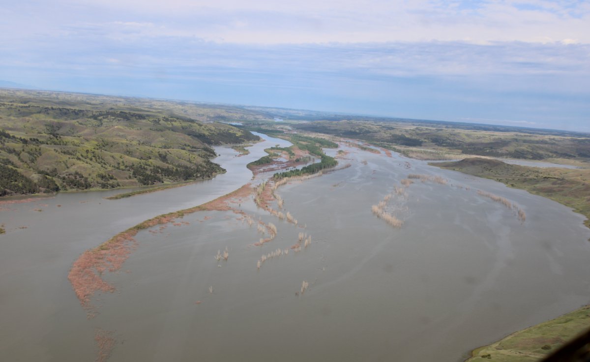
| I was flying southwest across all the little fjords on the north side of the lake. |
| |
 |
|
| After awhile I crossed over to the south side because it looked more interesting. |
| |
 |
|
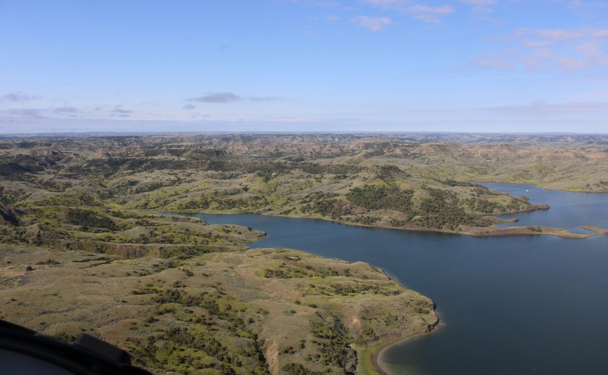
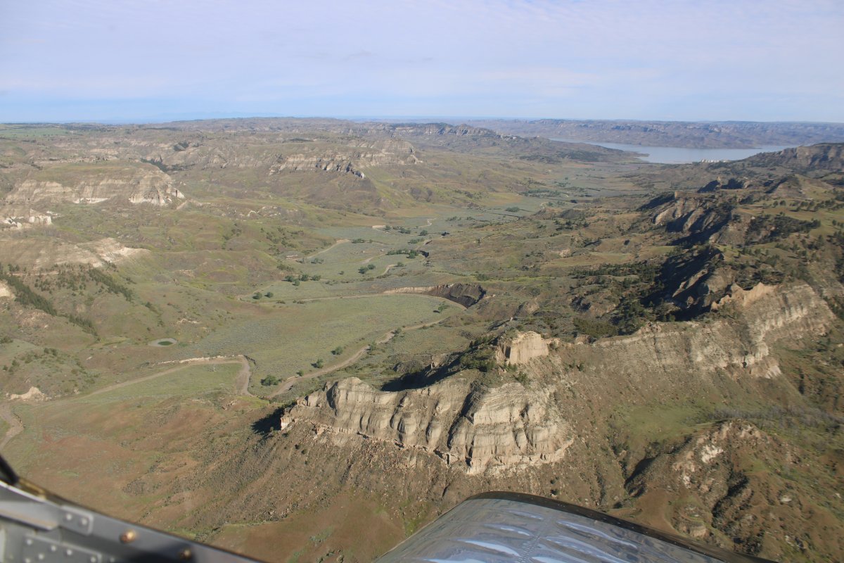
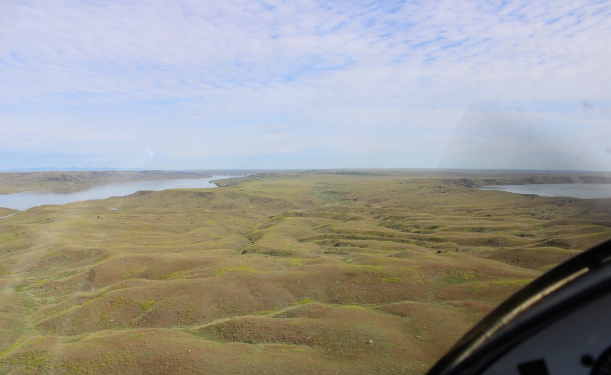
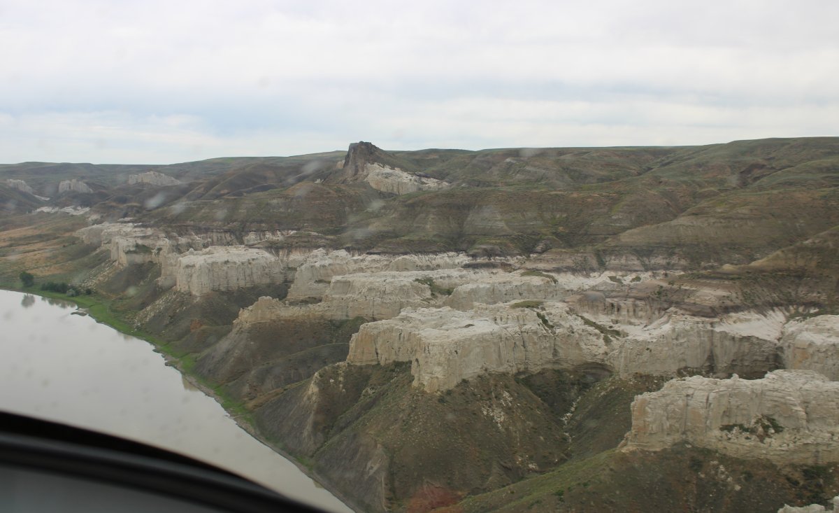
| I followed a large fjord south to its end, then flew west across some interesting terrain. |
| |
 |
|
|
|
| |
 |
|
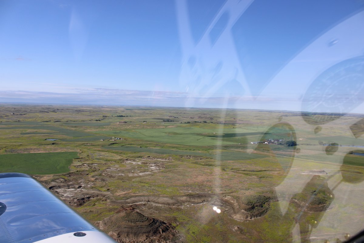
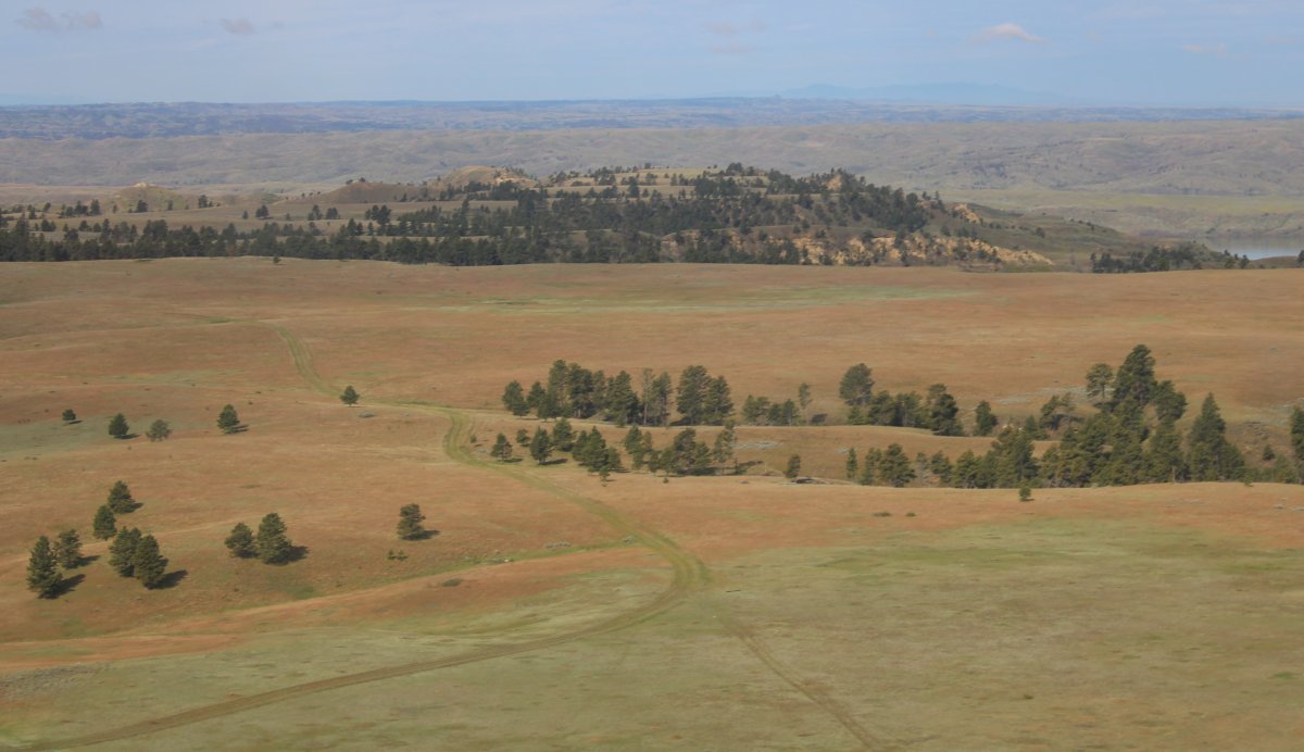
| Approaching some ranches south of Fort Peck Lake. |
| |
 |
|
|
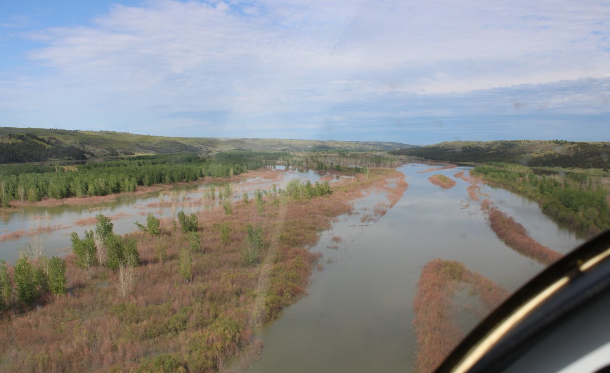
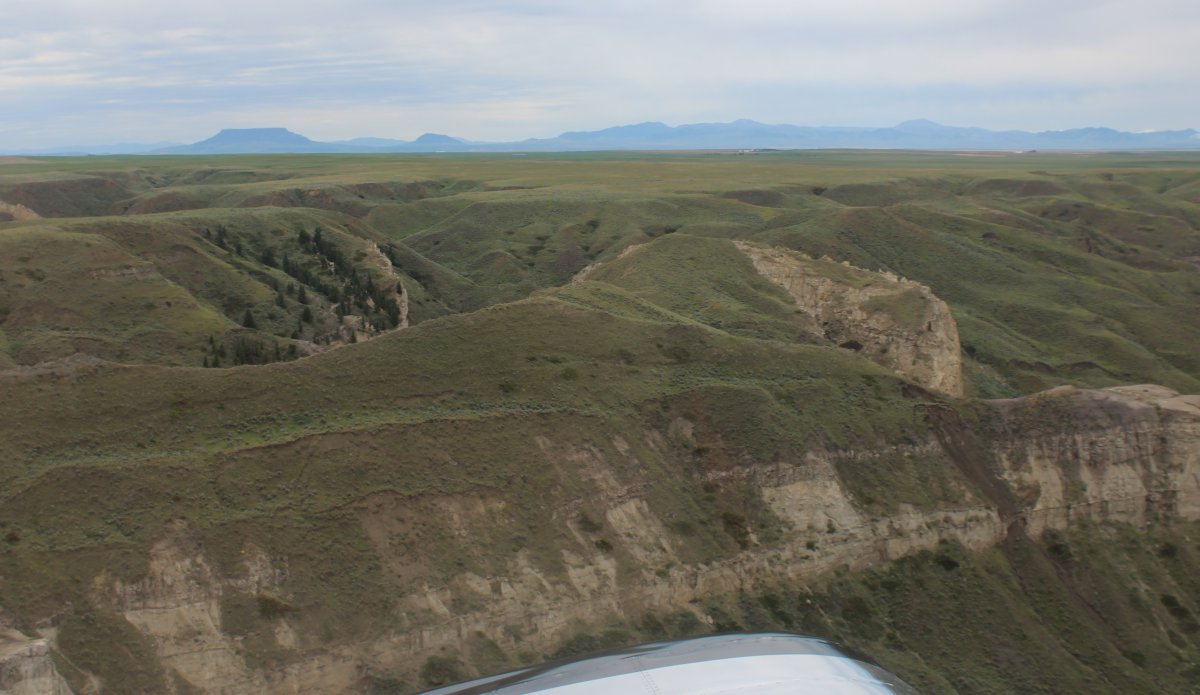
I came to this valley which led back to the Missouri River so I followed it.
|
| |
 |
|
| Flying down the valley with a pretty view to the side. |
| |
 |
|
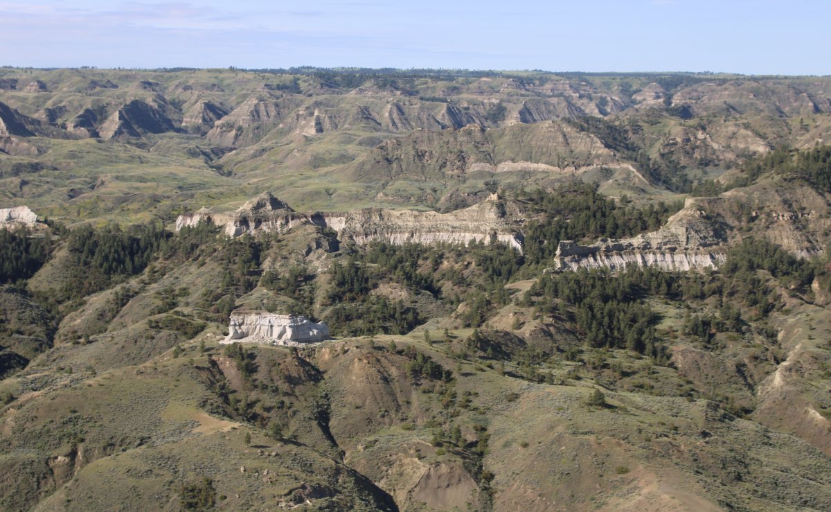
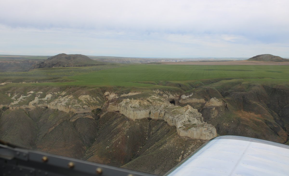
| I saw this high grassy plateau off my right; had to go check it out. |
| |
 |
|
| A bush plane could land here easily. |
| |
 |
|
|
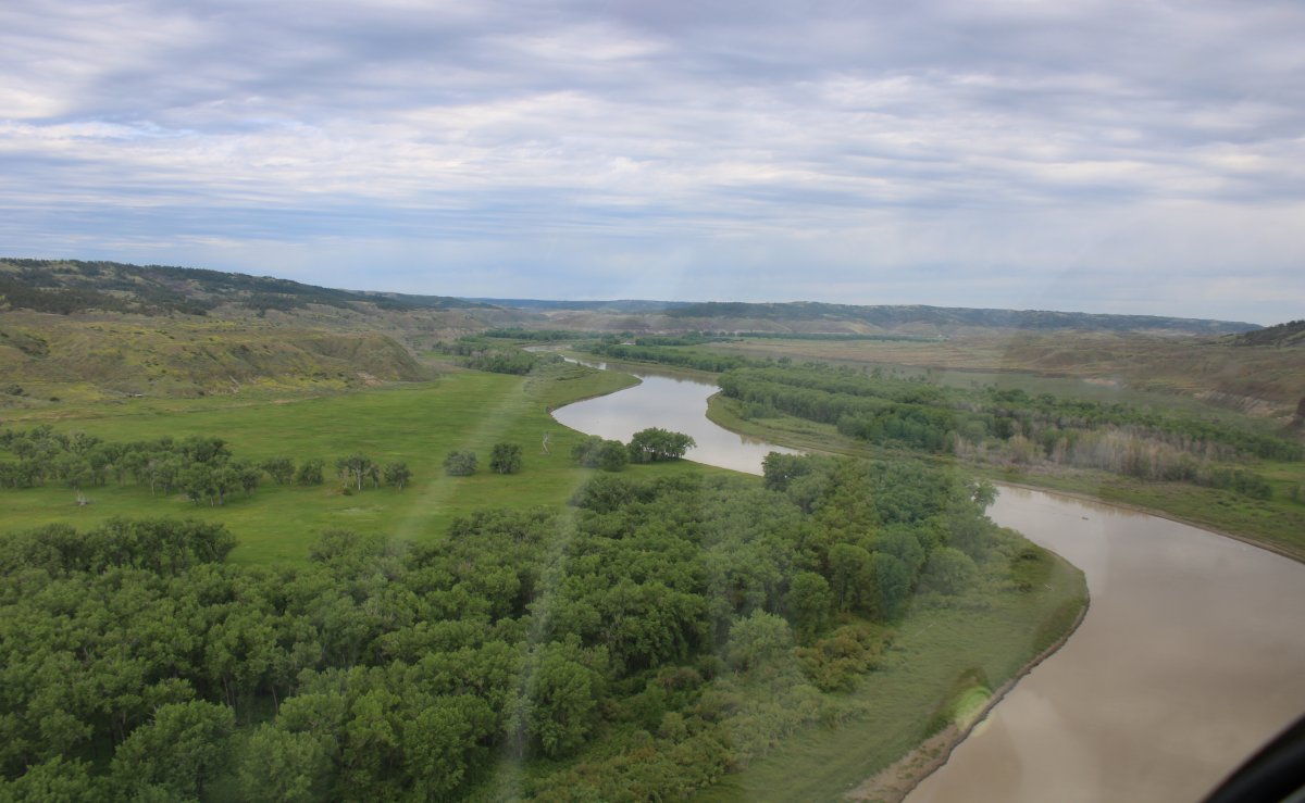
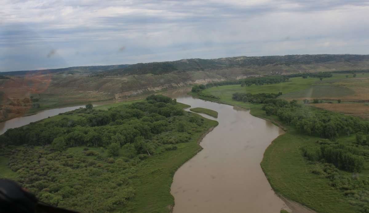
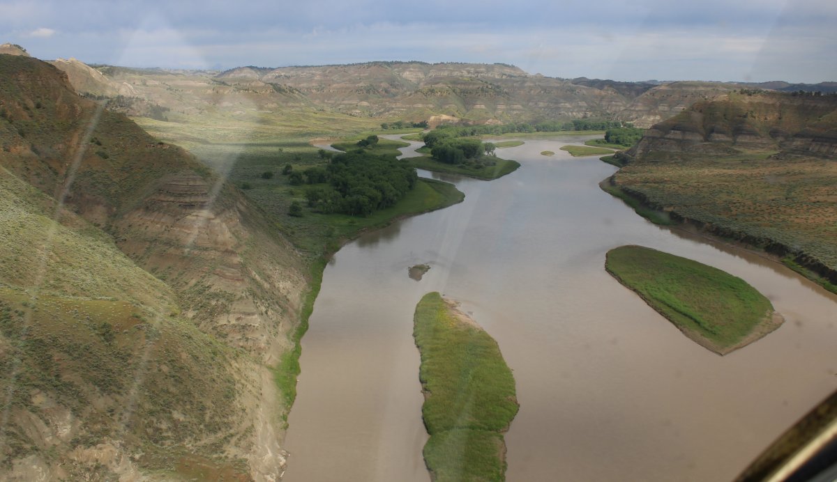
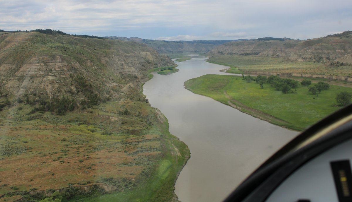
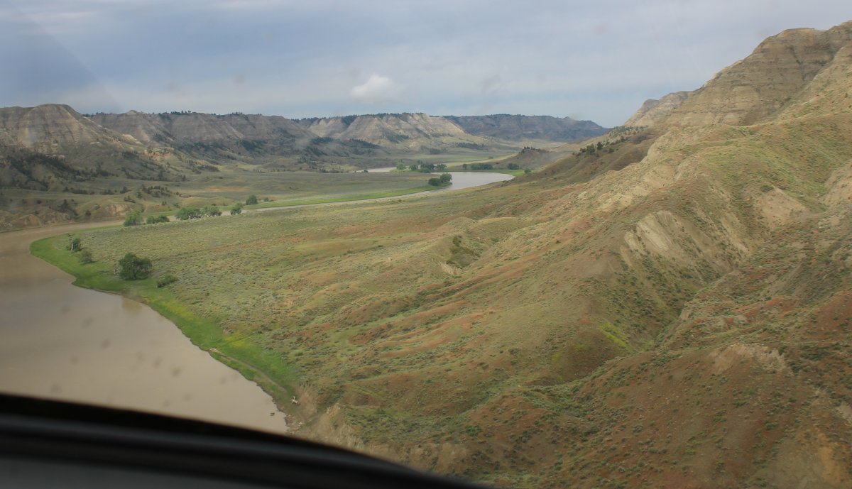
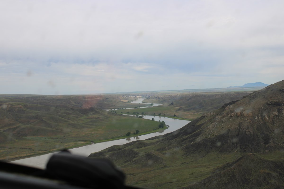
Back on the Missouri River heading south. On the other side of that peninsula is the Missouri River heading north!
|
| |
 |
|
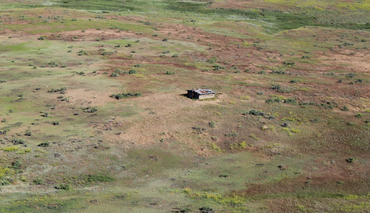
| Now I'm flying north up the peninsula, looking for an abandoned shack I saw nine years ago. |
| |
 |
|
|
There it is! Still there.
|
| |
 |
|
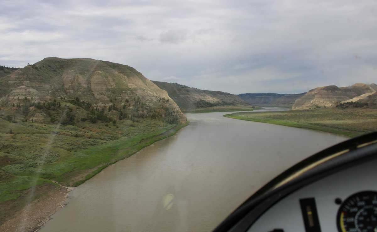
| The river turns west; so do I. |
| |
 |
|
| The low brush in this area was a pretty pink contrasted with the bright green trees. |
| |
 |
|
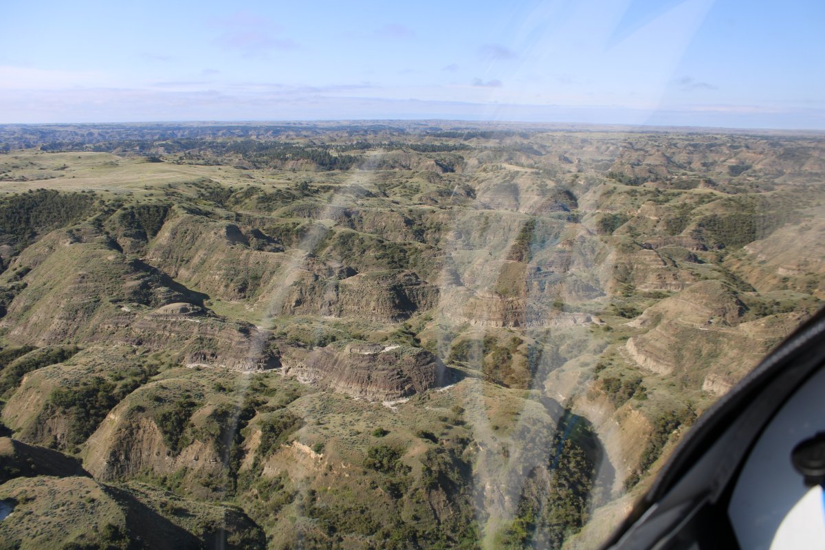
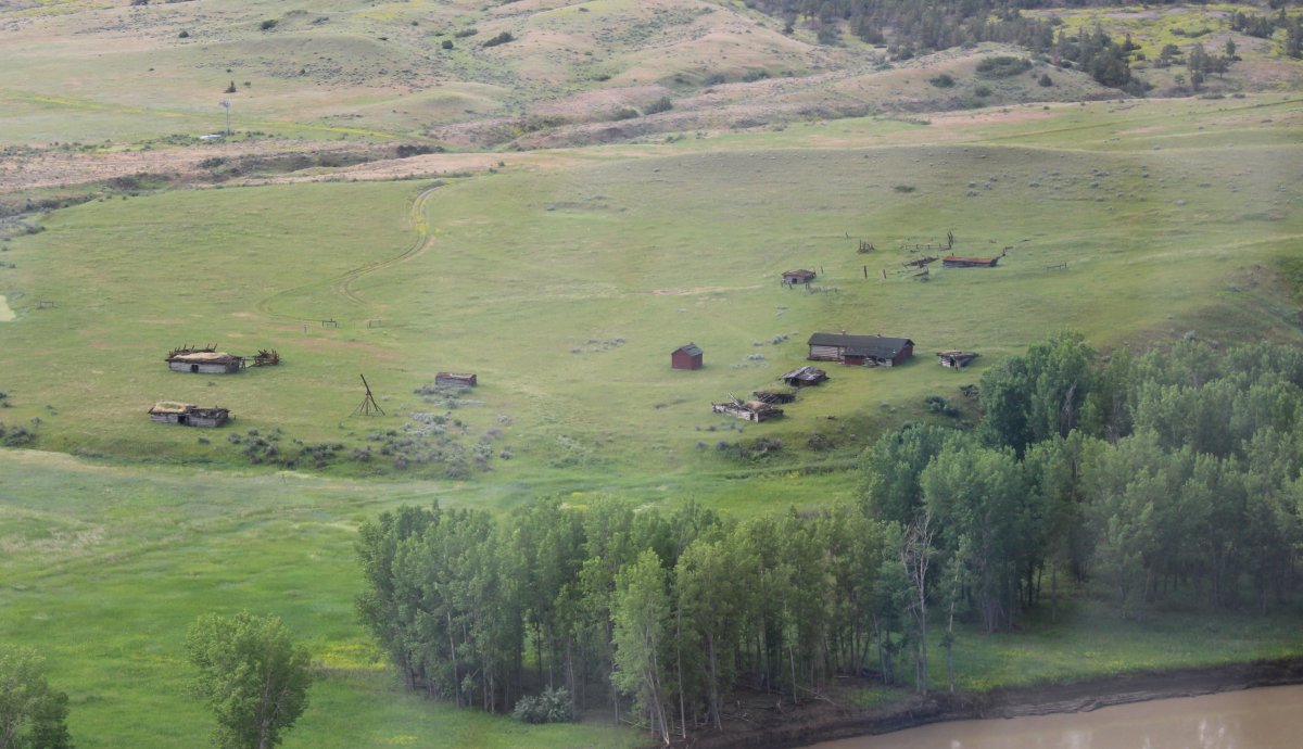
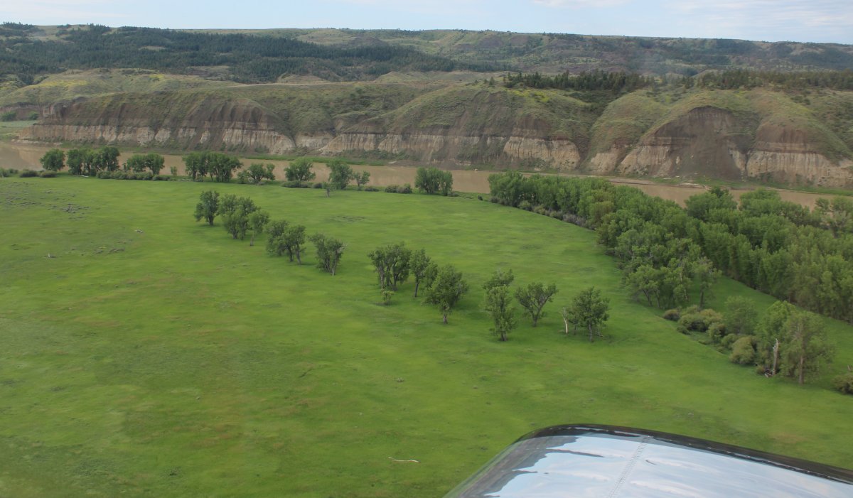
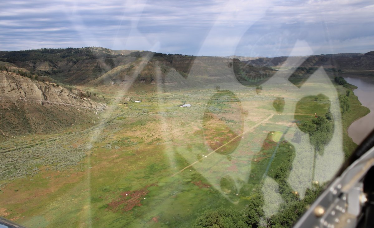
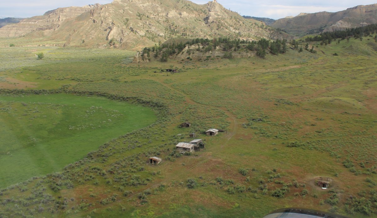
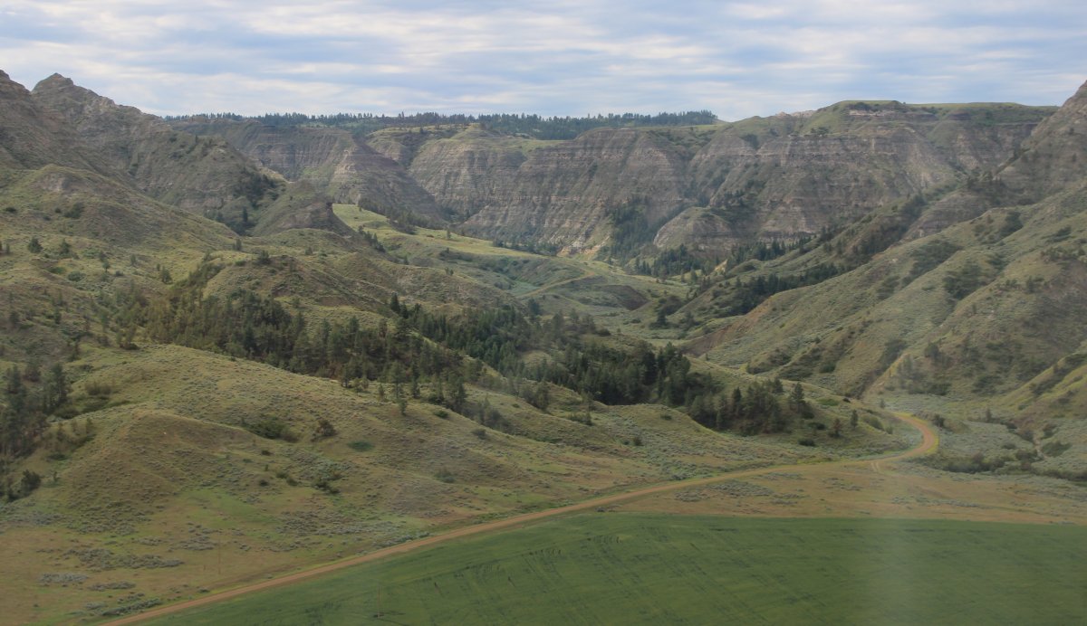
| Passing by an abandoned farm as I head into the Missouri Breaks. Which is in Montana. Don't ask me why. |
| |
 |
|
| |
| |
 |
|
|
|
| |
 |
|
| |
| |
 |
|
|
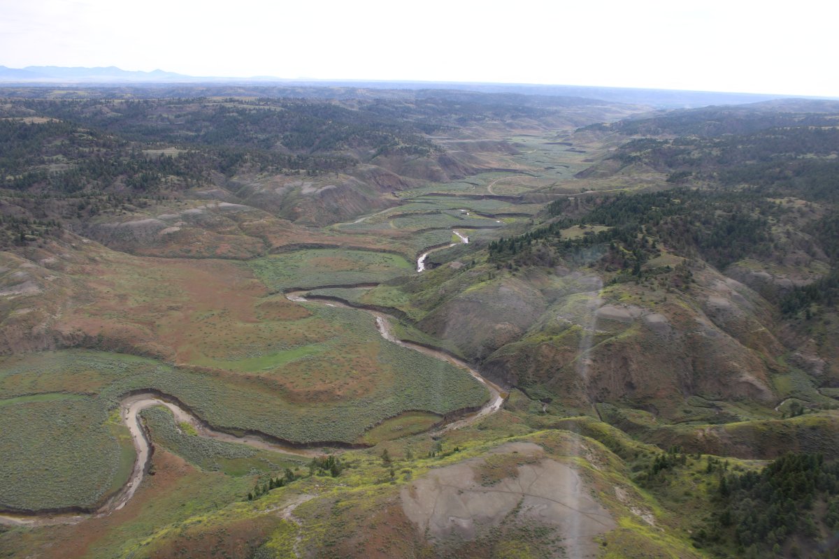
Looking south at one of the feeders to the Missouri River.
|
| |
 |
|
| I came across many islands in the Missouri River. |
| |
 |
|
| I think this is Heller Farm airport, which is privately owned but open to the public. Thanks, I'm good. No need to land. |
| |
 |
|
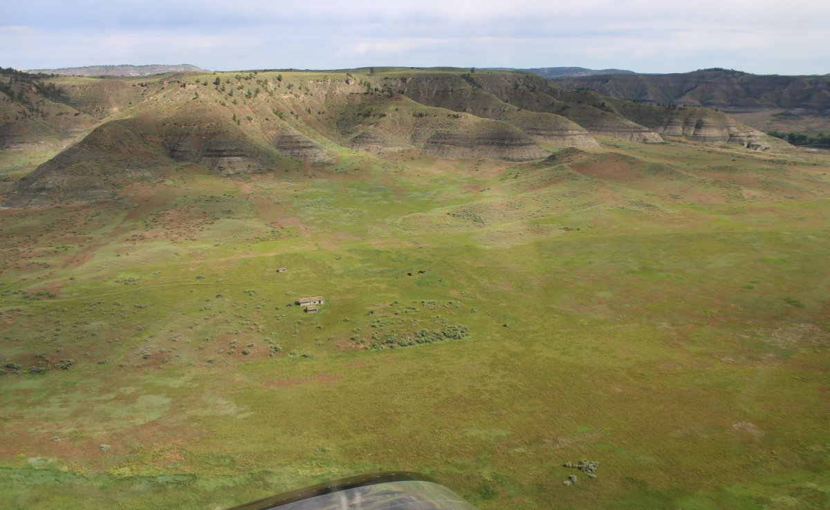
| Another little farm gone bust. |
| |
 |
|
|
|
| |
 |
|
| |
| |
 |
|
|
|
| |
 |
|
| |
| |
 |
|
| |
| |
 |
|
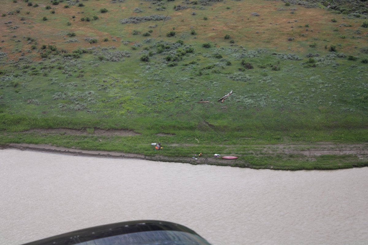
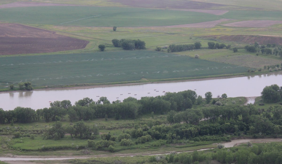
| I didn't see any canoers -- or any other kind of boat for that matter -- when I came through here nine years ago, also in July. But on this trip I started seeing them. |
| |
 |
|
|
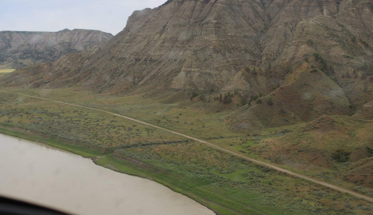
Don't remember seeing this dirt road alongside the river either. It was probably there nine years ago also, I just didn't notice it.
|
| |
 |
|
| A road heads up into a draw. |
| |
 |
|
|
|
| |
 |
|
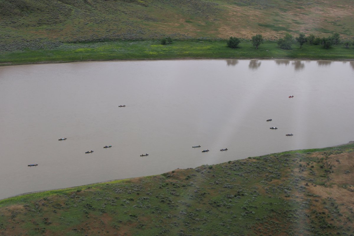
| More boaters. I give them a wide berth. |
| |
 |
|
| Canoes, heavily loaded. |
| |
 |
|
|
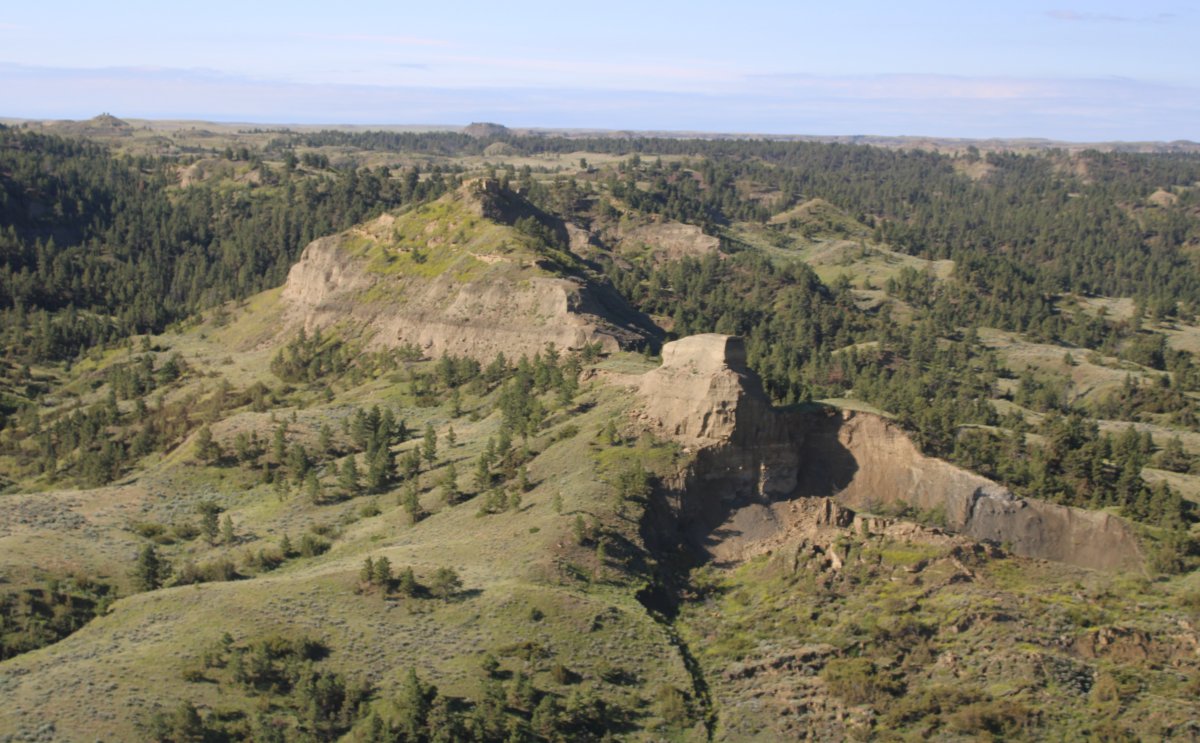
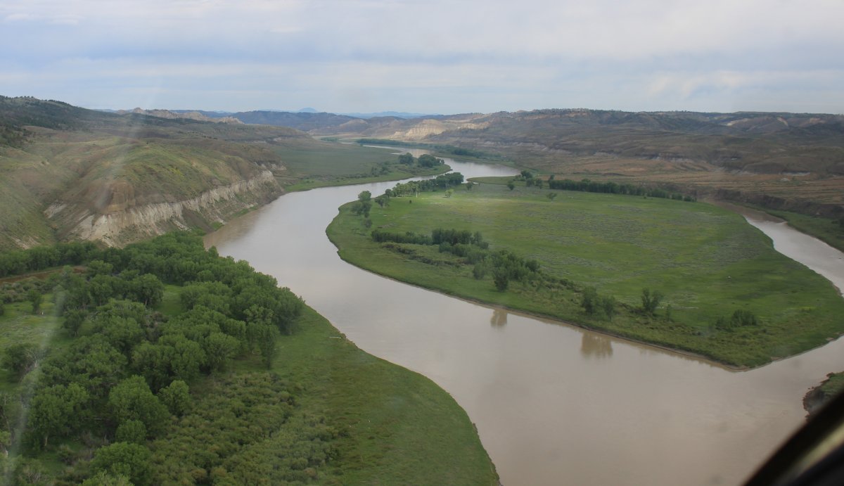
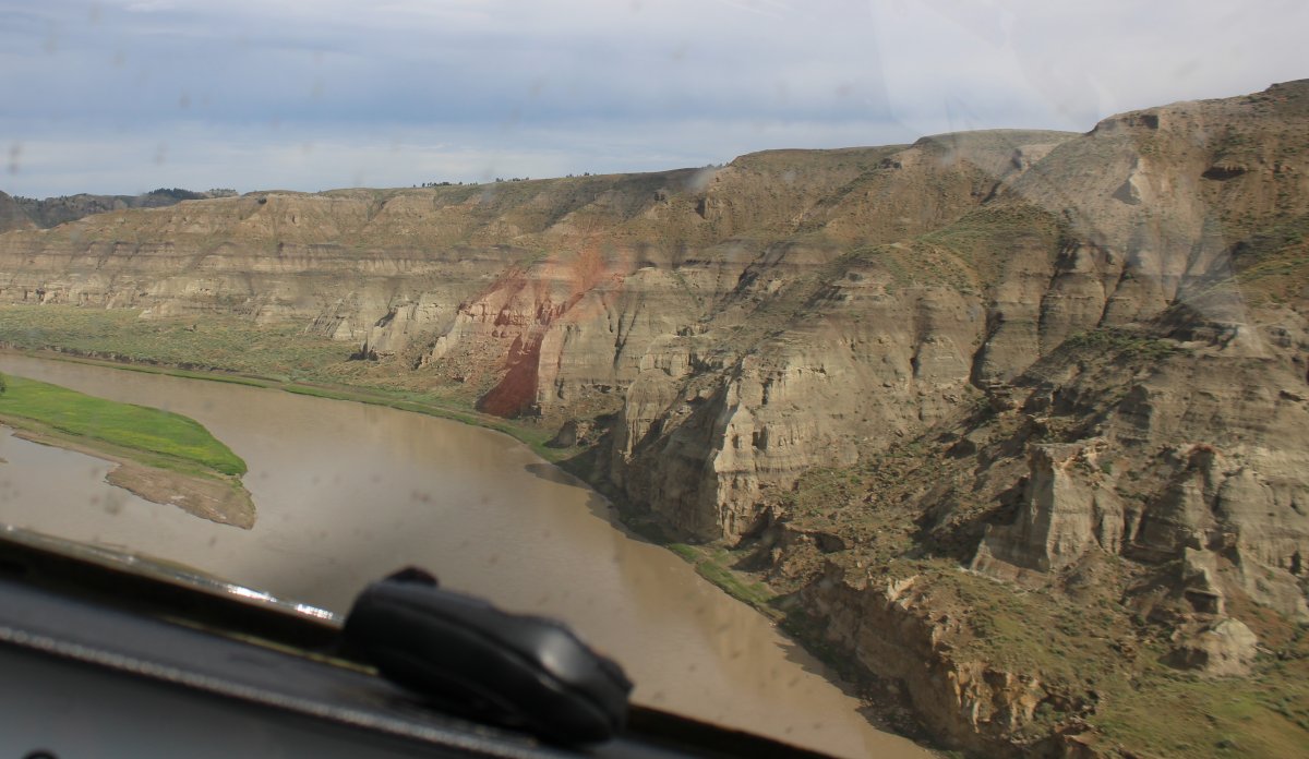
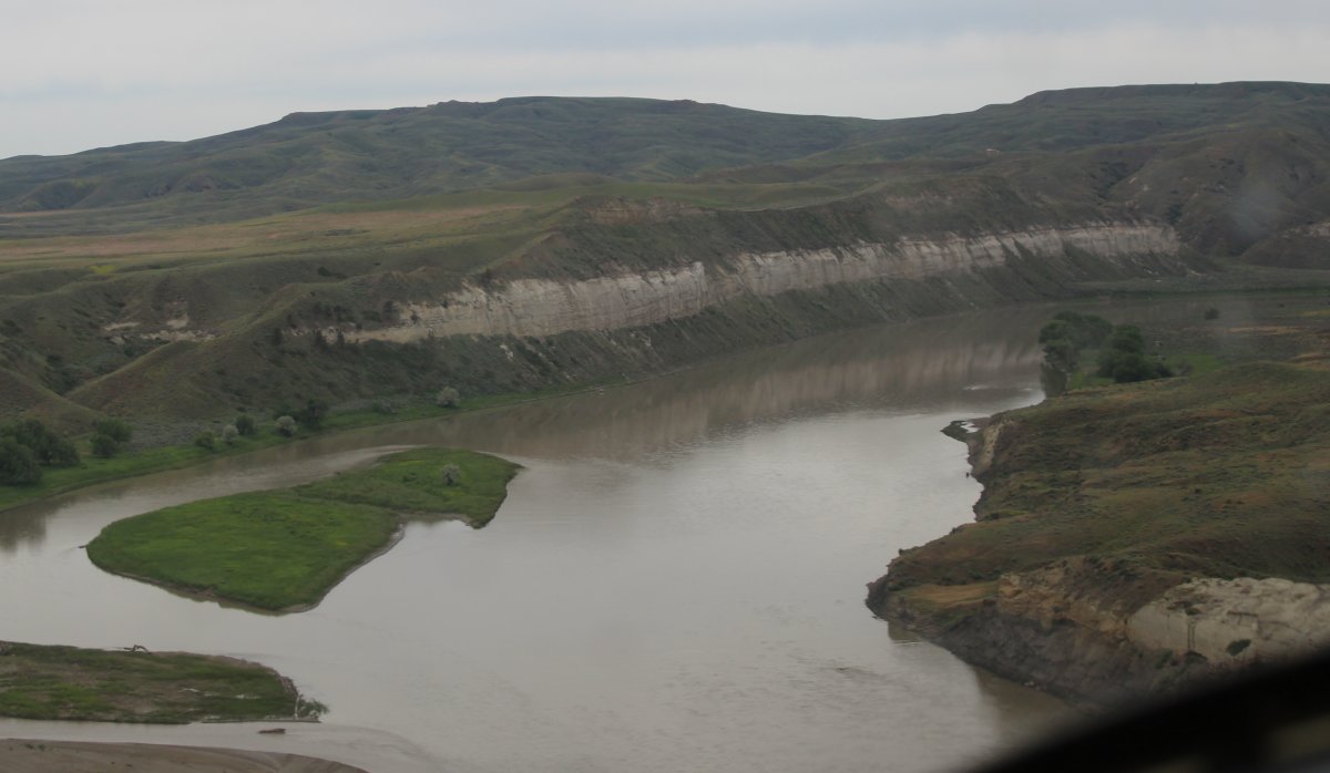
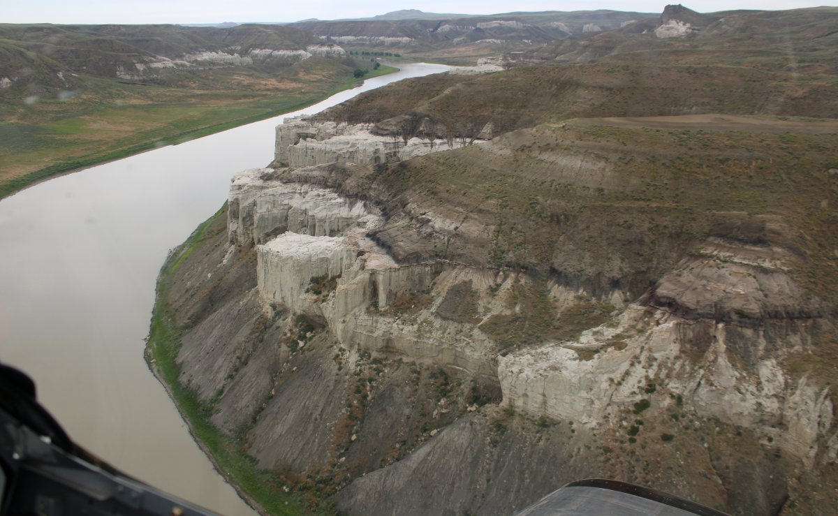
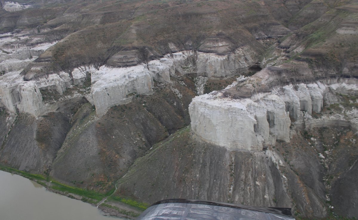
Approaching the White Cliffs.
|
| |
 |
|
| "It is today as Lewis saw it. The White Cliffs can be seen only from small boat or canoe [or airplane]. Put in at Fort Benton and take out three or four days later at Judith Landing. Missouri River Outfitters at Fort Benton, Montana, rents canoes or provides a guided tour by pontoon boat. Of all the historic and/or scenic sights we have visited in the world, this is number one. We have made the trip ten times." -- Stephen Ambrose, "Undaunted Courage" |
| |
 |
|
|
|
| |
 |
|
| |
| |
 |
|
| Then the cliffs began receding as I started coming out of the Breaks. |
| |
 |
|
| Farmed land on top. |
| |
 |
|
|
Existing the Missouri Breaks. I'm glad I went through it again. My pictures were much better than those of the previous trip.
|
| |
 |
|
| |
| |
|
|
|
|
|
|