June 28, 2019 - Flight West - Day Three Part I
|
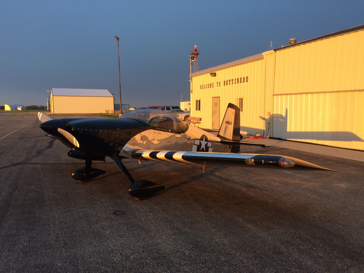
| Another early start this morning. |
| |
 |
|
|
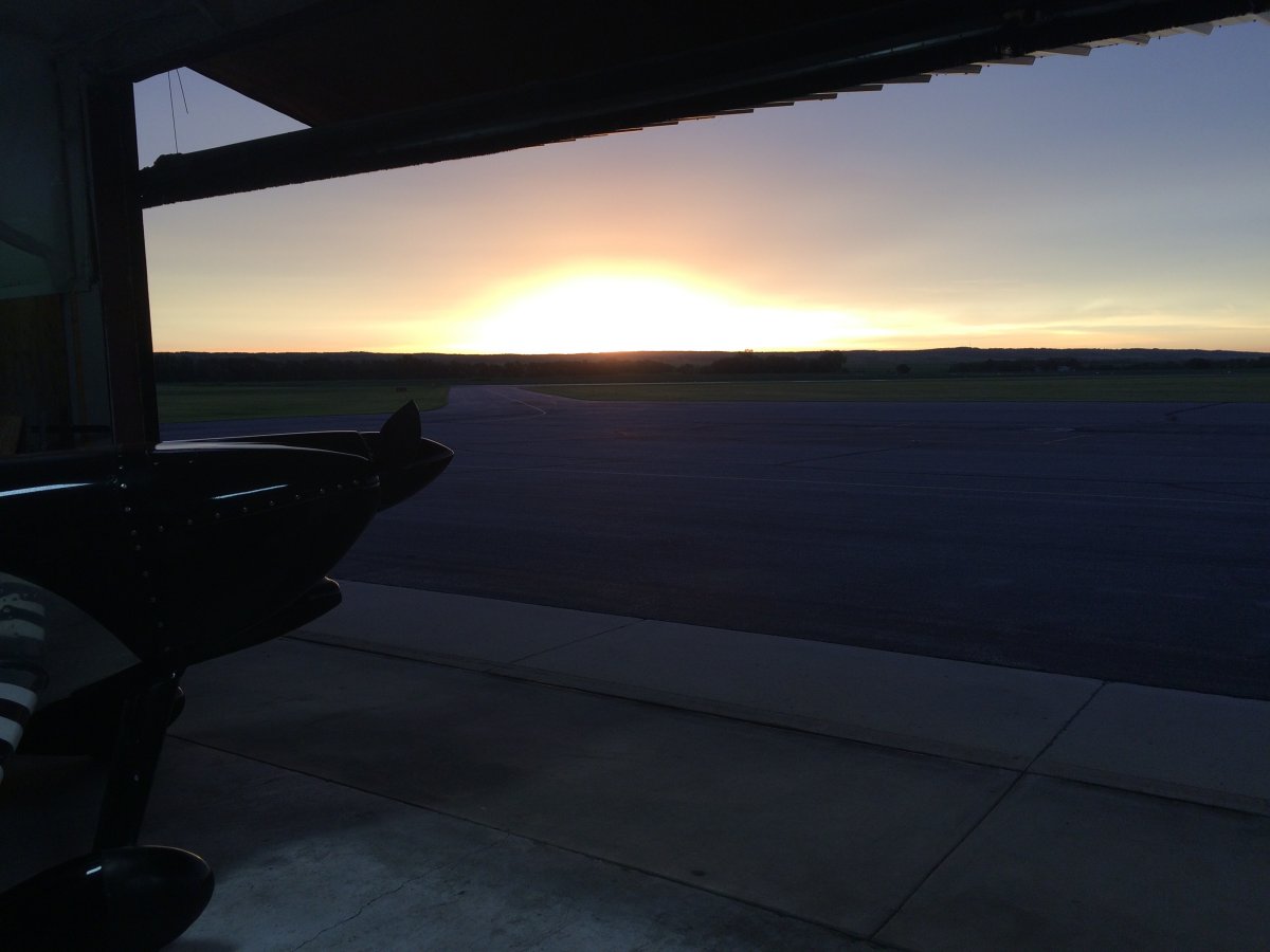
The early morning sun really lit everything up.
|
| |
 |
|
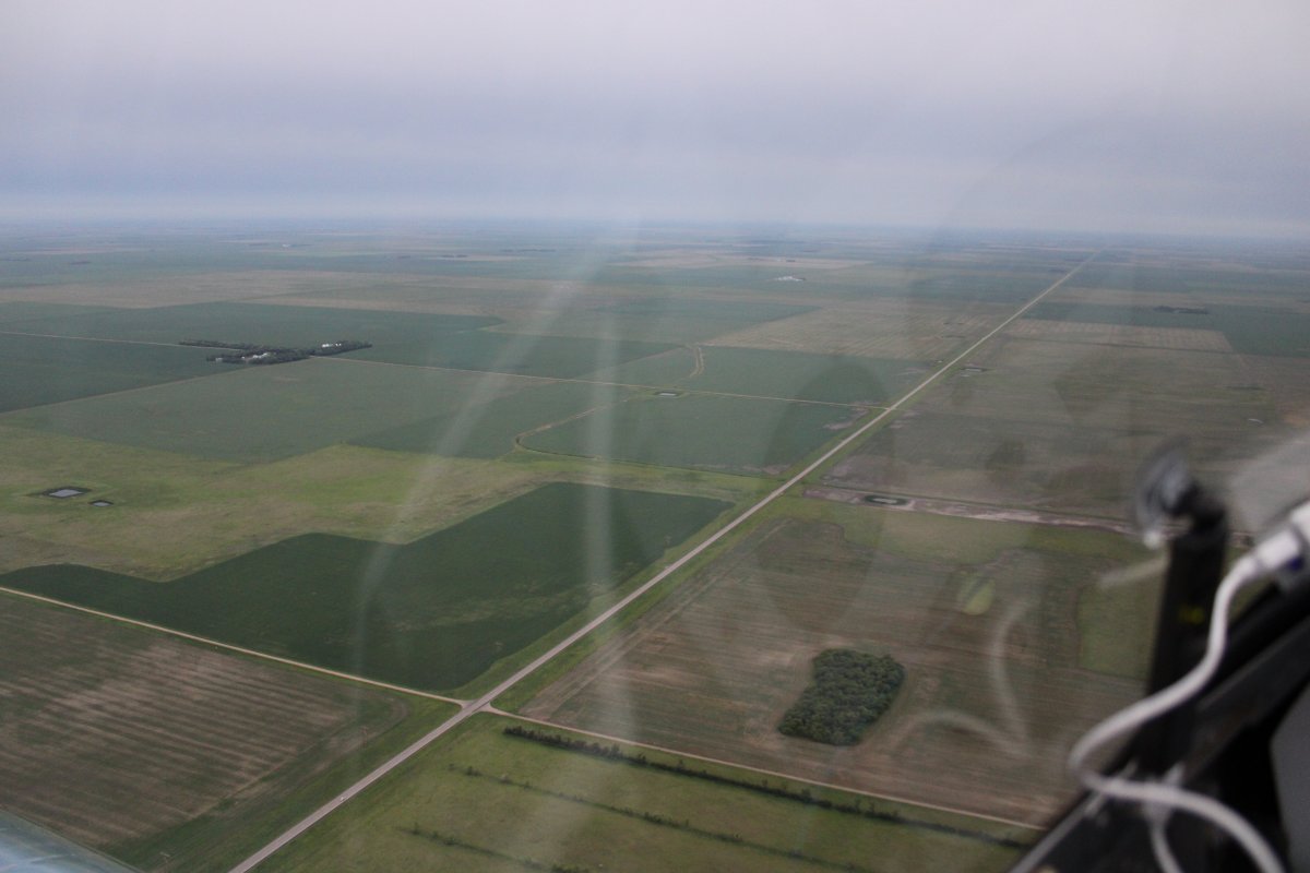
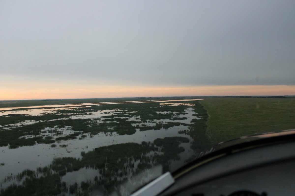
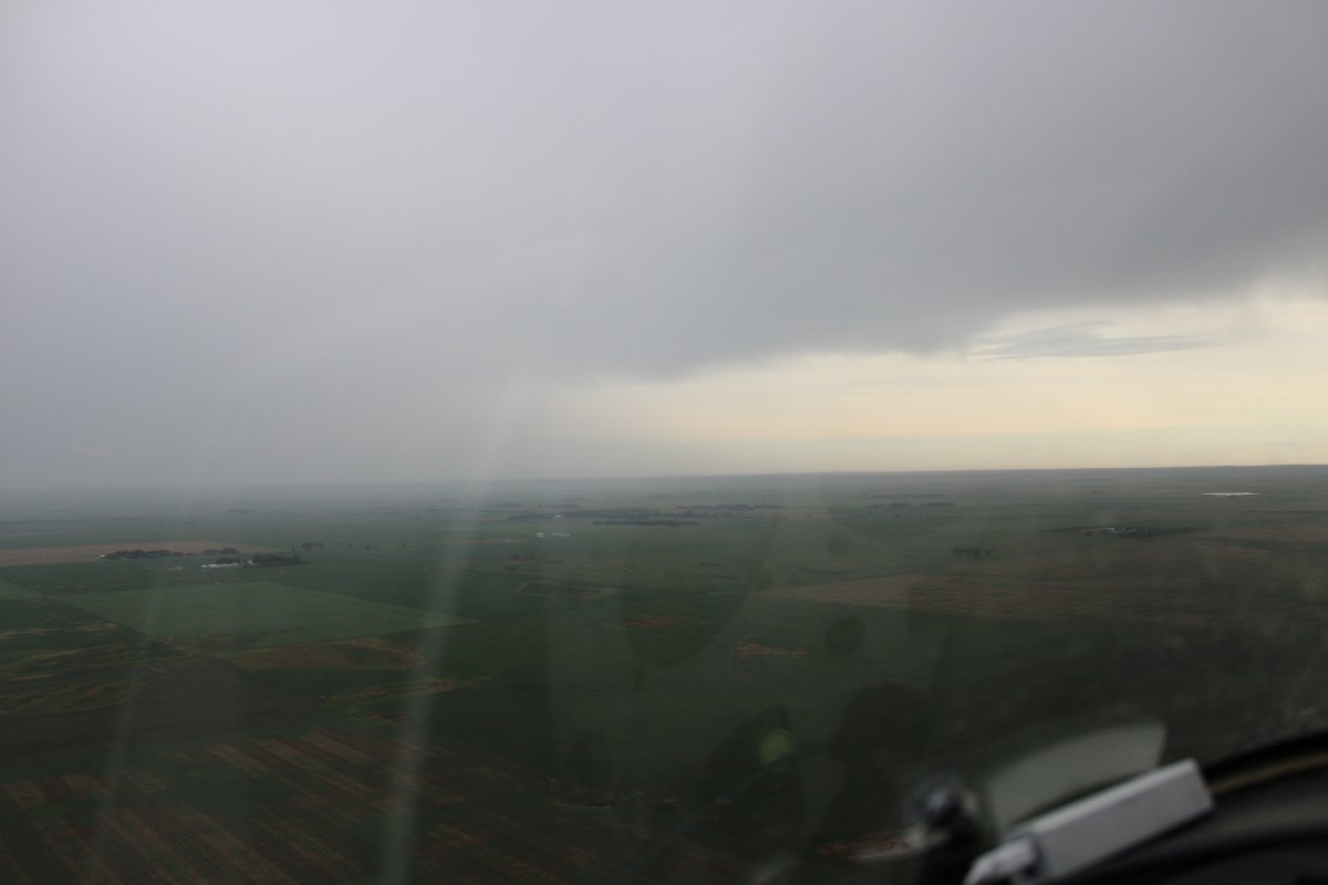
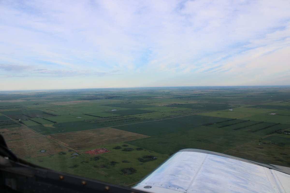
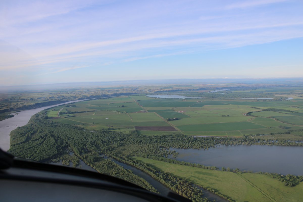
| I continued west. This morning was different. Instead of clear blue skies there was a high overcast. And on my XM Satellite weather I could see weather ahead to the southwest. |
| |
 |
|
|
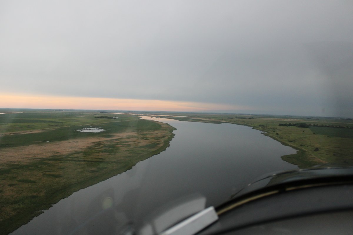
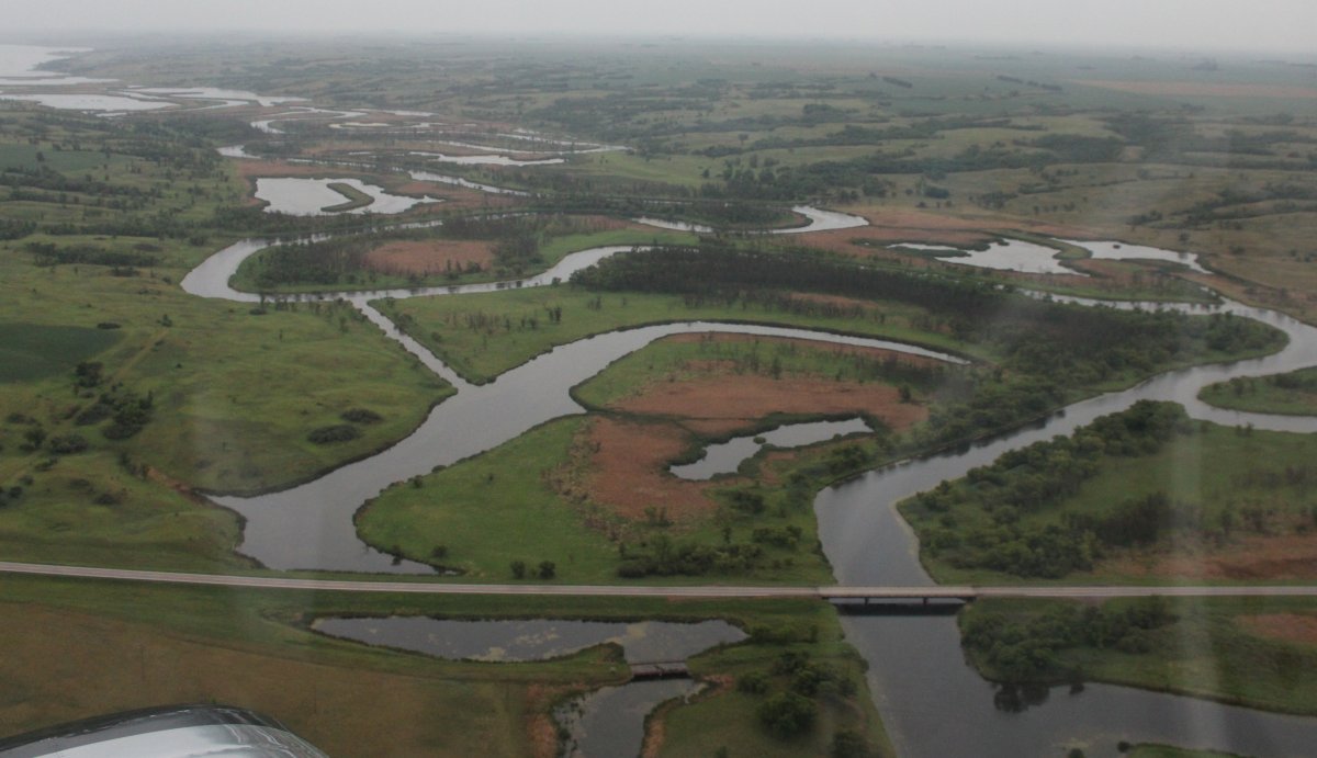
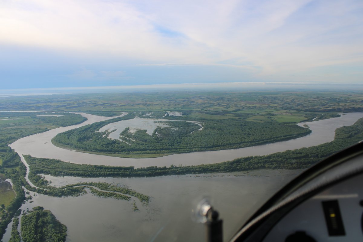
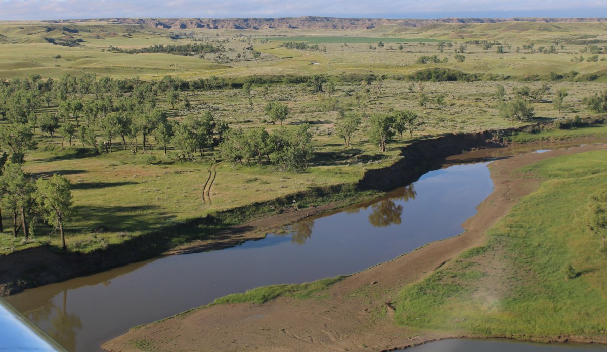
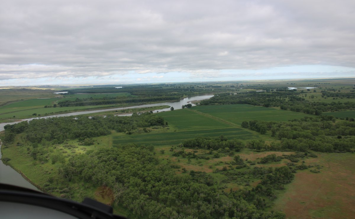
Having a little fun heading south down a river. You can see how it is clear to the east but not to the west.
|
| |
 |
|
| |
| |
 |
|
| Looking south. |
| |
 |
|
| Looking north towards Canada, not too far away. |
| |
 |
|
|
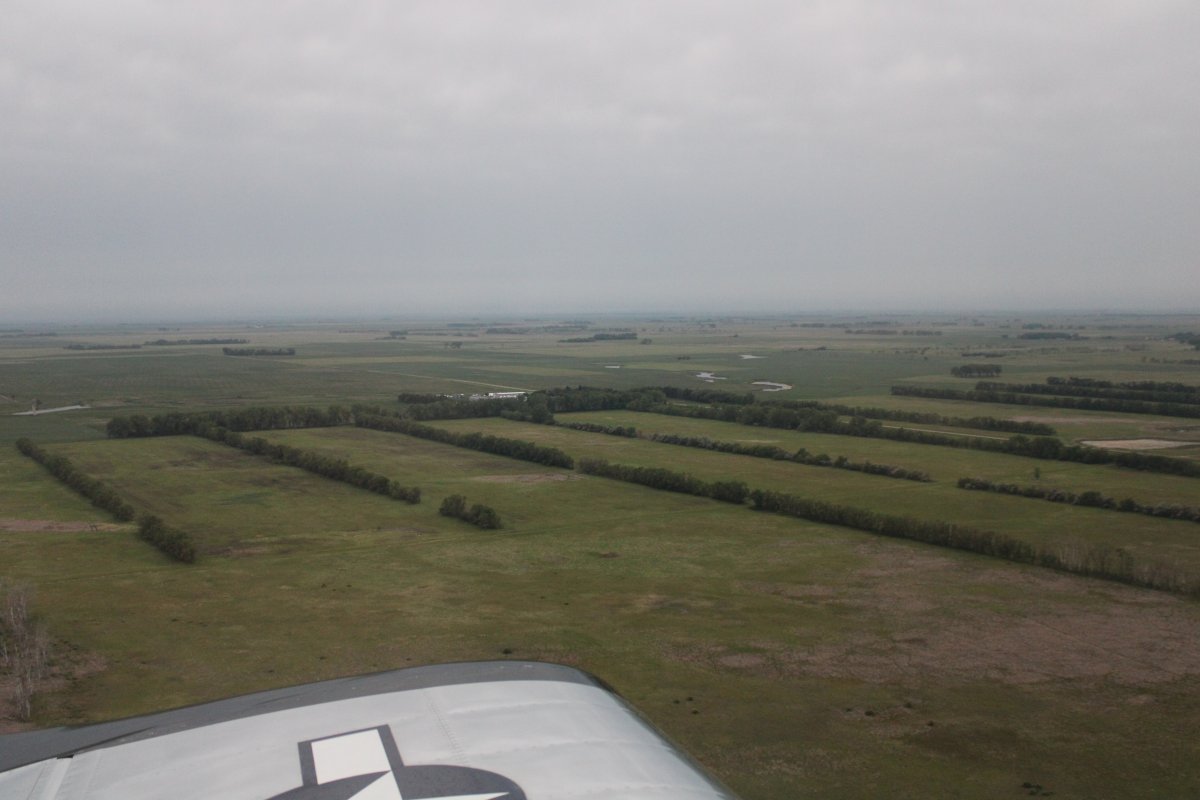
Passing by Mohall Municipal Airport (KHBC). The town of Mohall is tiny, with maybe a cafe to eat, and no lodging.
|
| |
 |
|
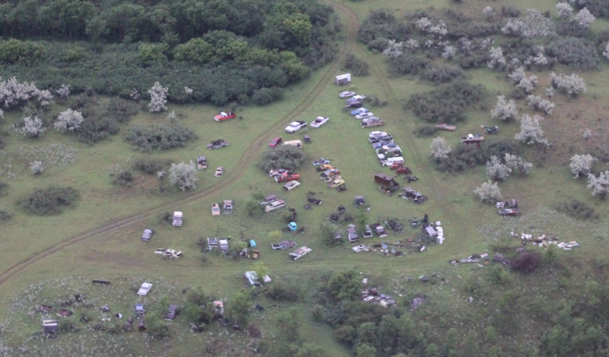
| Passing by a car junkyard; it would be interesting to see what kind of cars are there. |
| |
 |
|
|
|
| |
 |
|
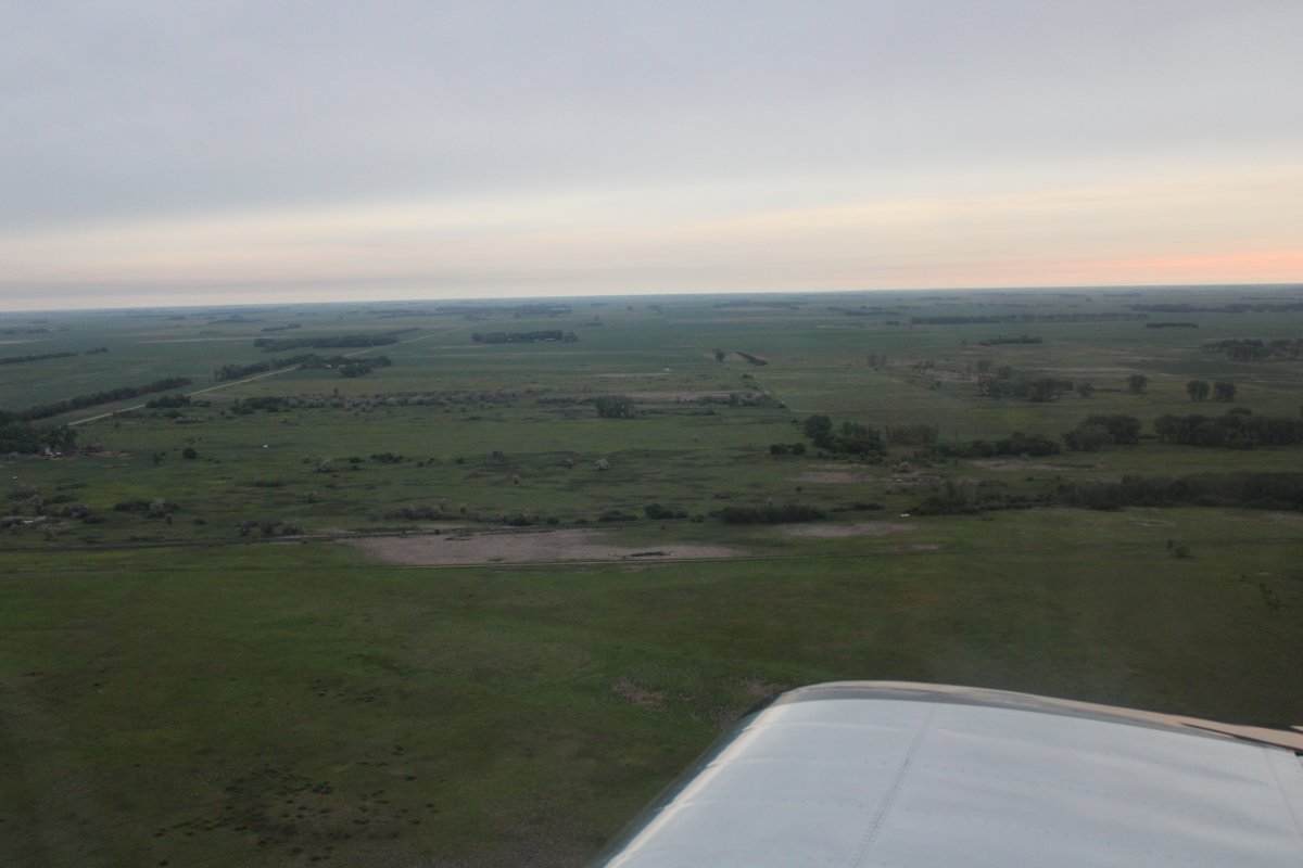
| On the XM Satellite radar picture, the weather looked worrisome with lots of dark green, some yellow and even a little red. But it was a big blob running north to south. I considered heading south to go around it but then it looked like I could squeeze between the weather and the Canadian border. So that's what I did. I got rained on a little for awhile but nothing serious. I zoomed out on the display and this weather blob in North Dakota was the only significant weather in the entire continental U.S! |
| |
 |
|
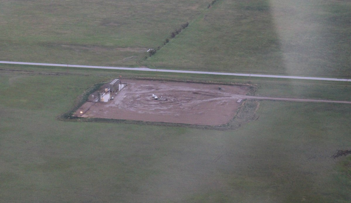
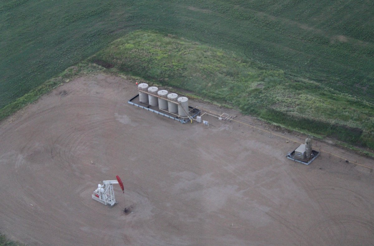
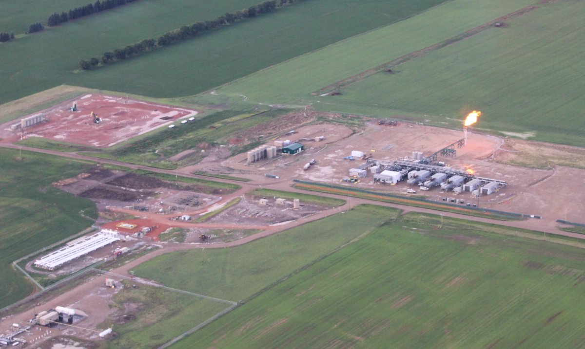
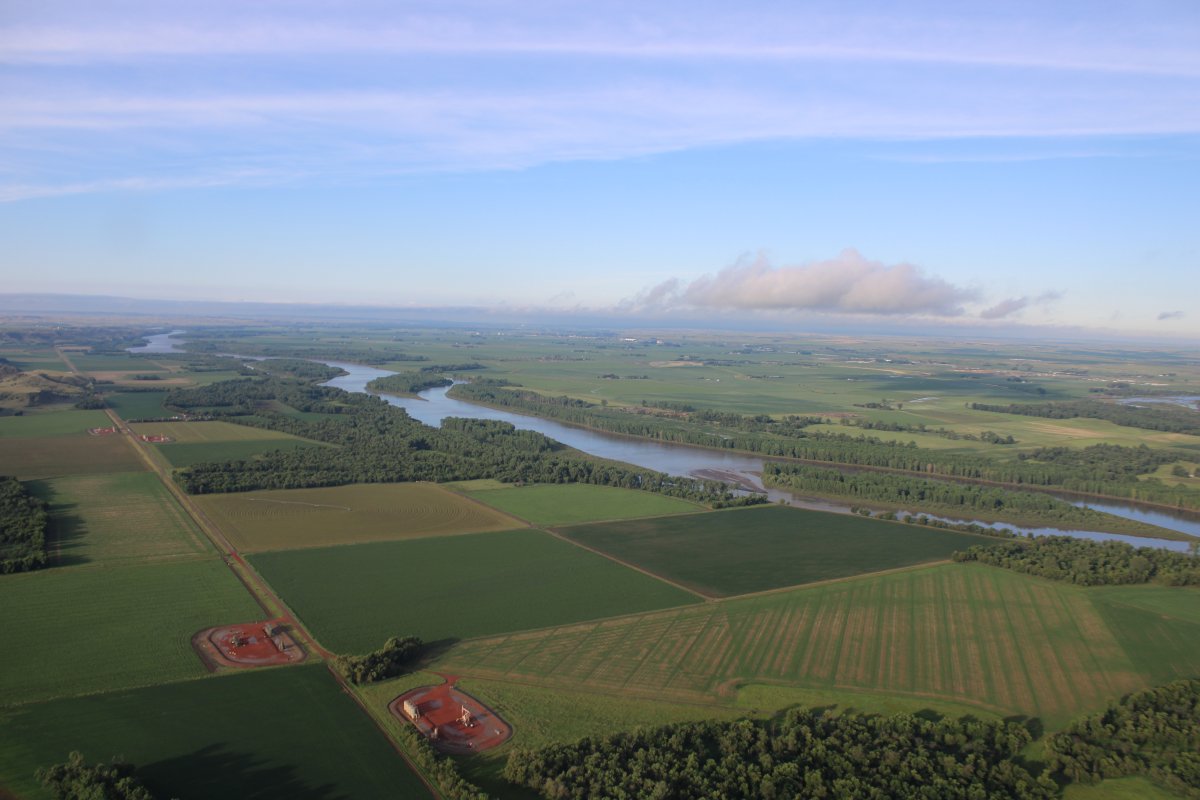
| I started seeing these little squares which contain an oil rig in the center and storage tanks on the side. |
| |
 |
|
| A closer look. |
| |
 |
|
|
I also encountered this moon-like landscape.
|
| |
 |
|
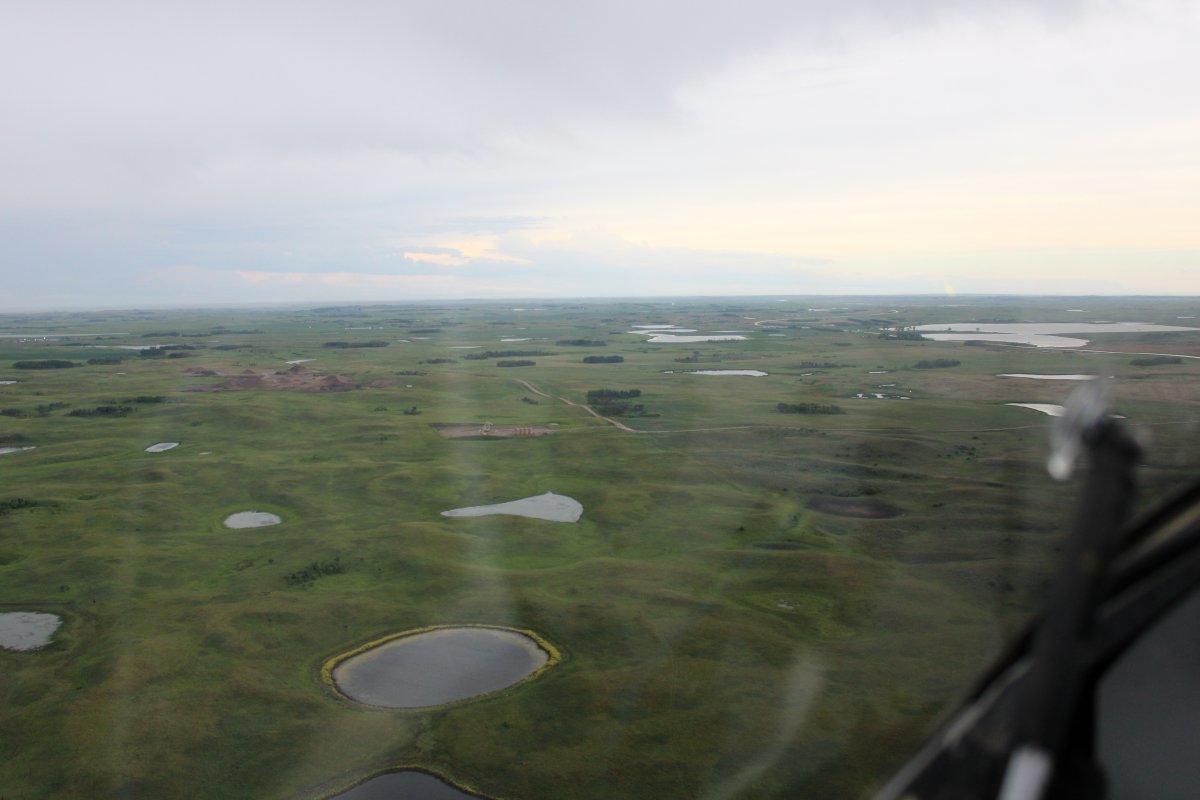
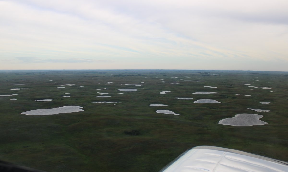
| More "Intermittant" lakes. |
| |
 |
|
|
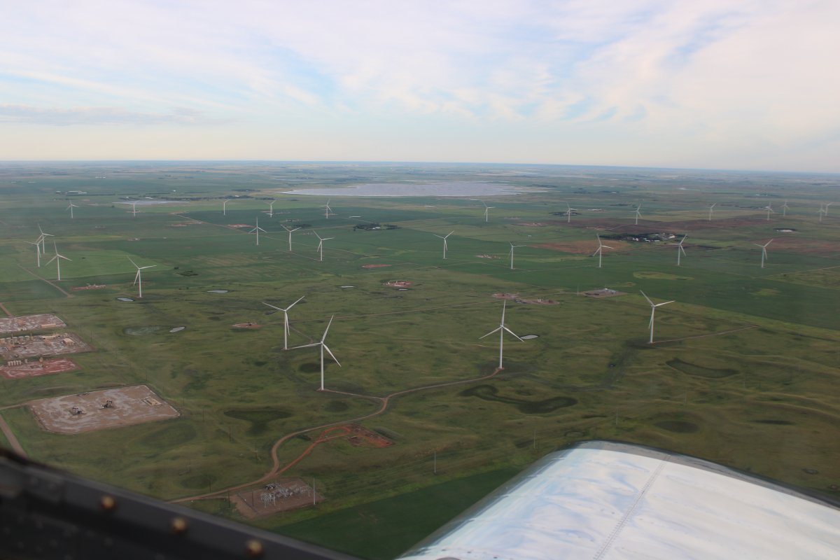
Windmills intermingled with oil rigs.
|
| |
 |
|
| I was getting bored with the flat plains so I angled southwest towards Williston so I could fly the Missouri River which I knew was awesome flying from my Lewis & Clark trip back in 2010. |
| |
 |
|
| A big oil-drilling site. I knew that North Dakota went through an oil boom (and perhaps still is going through it). I saw it from the air. But it is all spread out in these little squares so from the air the impact seems minimal. |
| |
 |
|
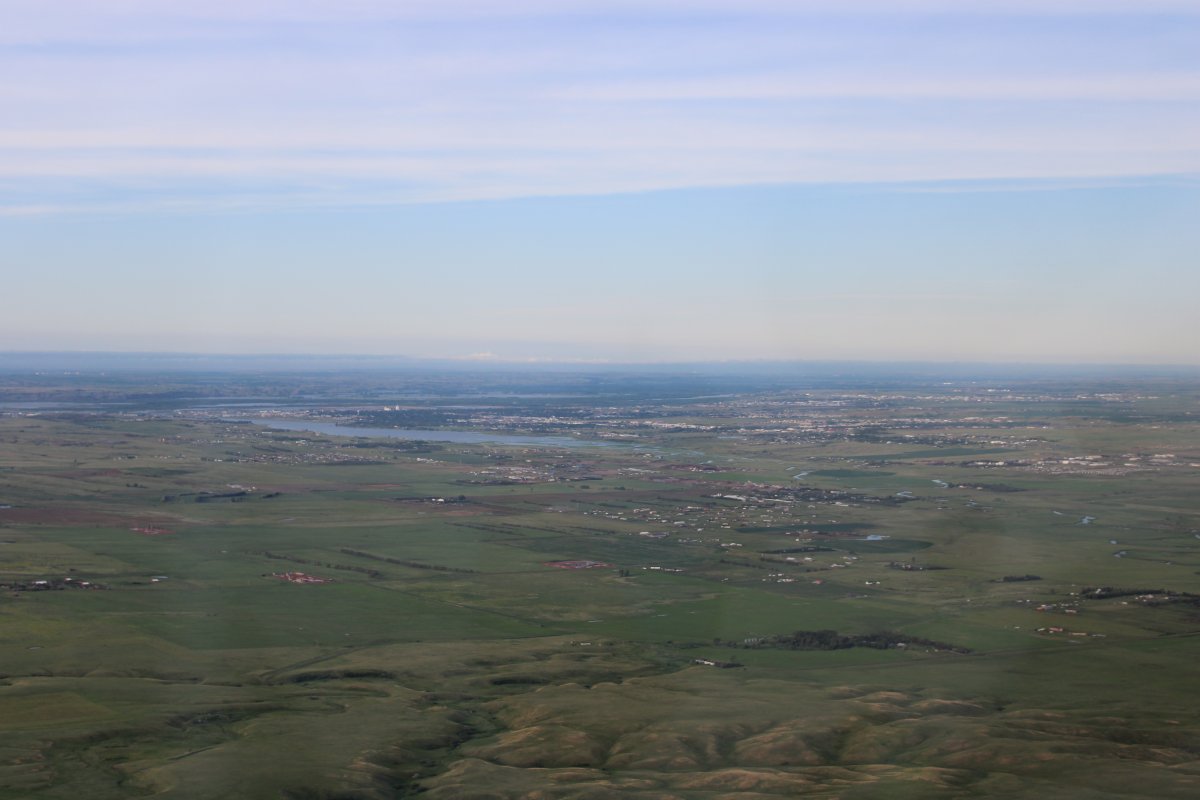
| Approaching Williston from the northeast. |
| |
 |
|
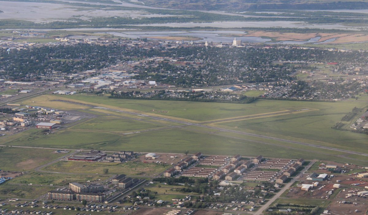
| Williston Airport and the town with the Missouri River in the background. I landed here back in 2010, borrowed the courtesy car, and went into town for breakfast. But I didn't have time for that today so I continued on. |
| |
 |
|
|
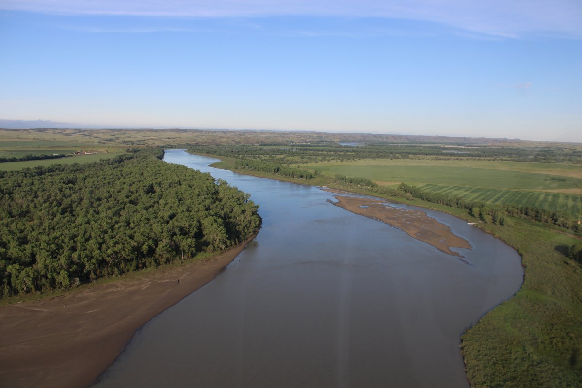
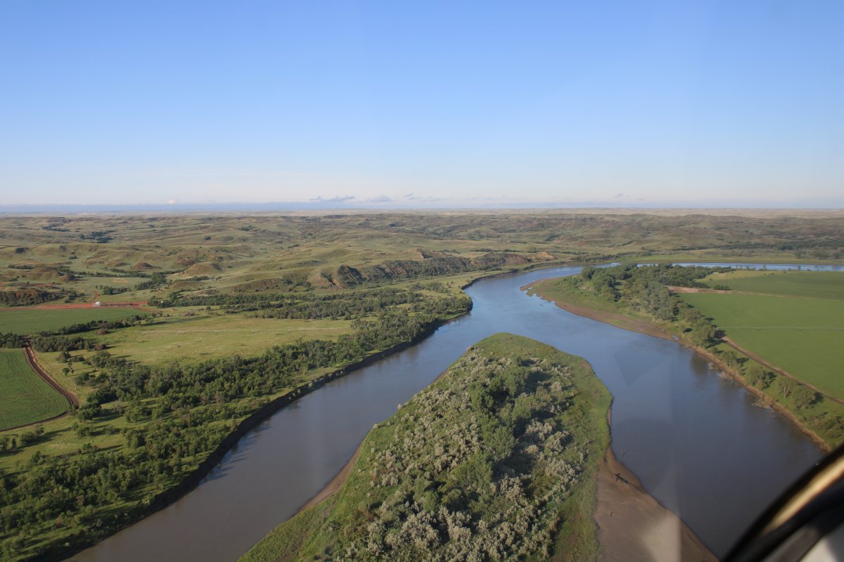
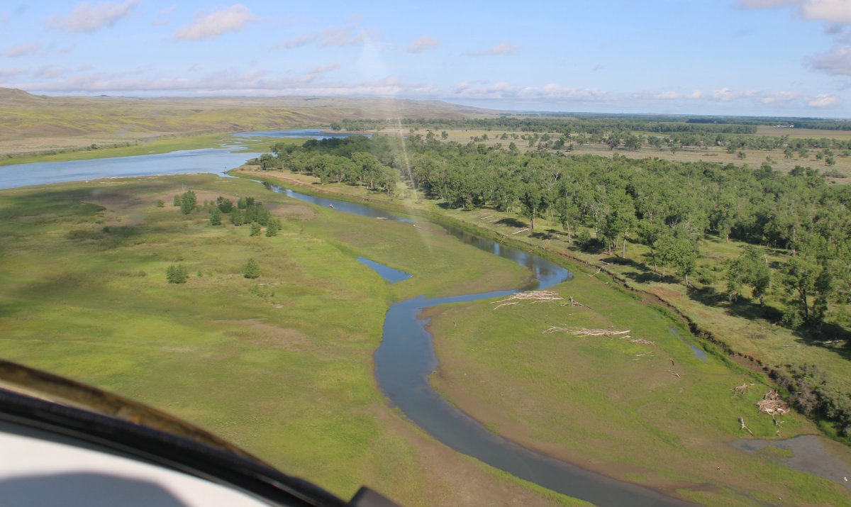
Looking south at my old friend, the Missouri River.
|
| |
 |
|
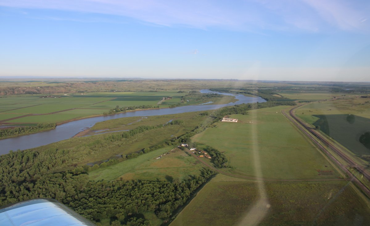
| Turning west to follow the river. |
| |
 |
|
|
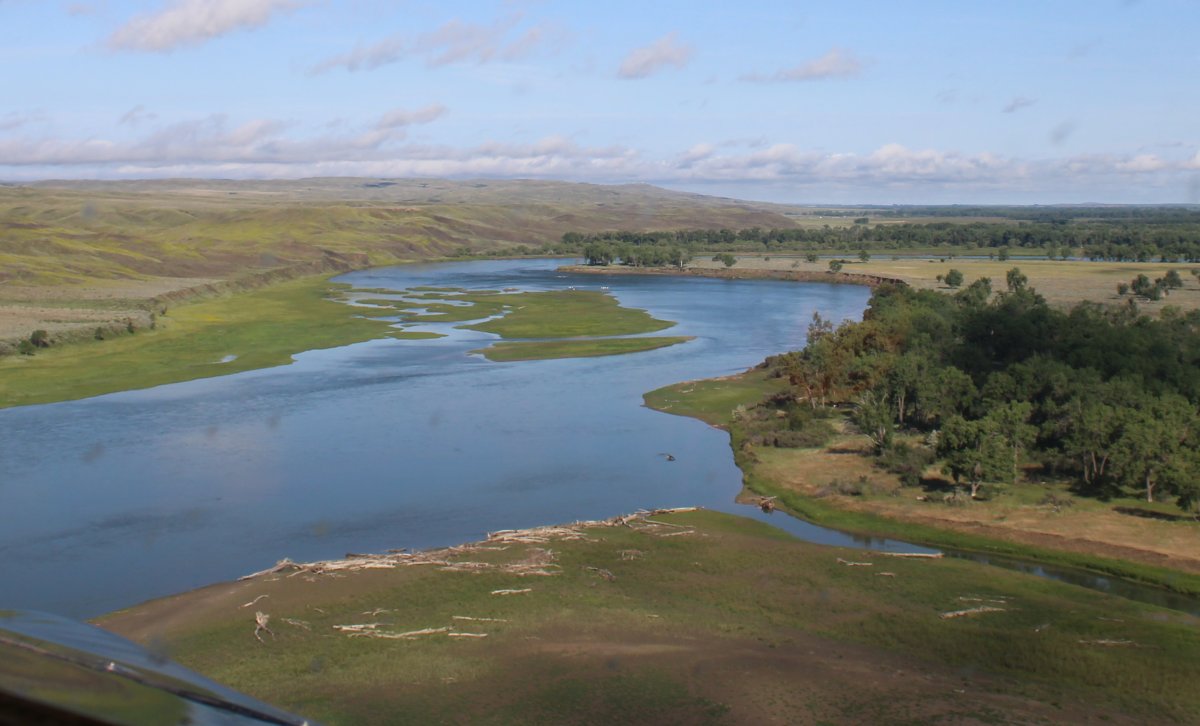
Just as pretty as I remembered it. Notice how nice the weather is now -- the rain clouds are behind me.
|
| |
 |
|
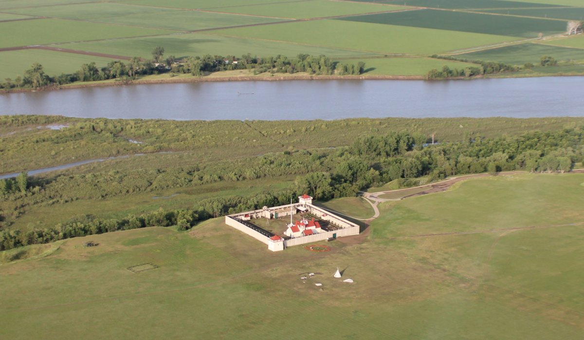
| Approaching the Fort Union Trading Post National Historic Site. |
| |
 |
|
| I remembered seeing this back in 2010. It is a reconstructed trading post with artifacts and reenactors. I thought maybe it was no longer open because most of the Indian tents outside the fort were blown down. But people have reviewed it on Google as recently as a week ago so its still open. Pretty remote though -- 25 miles from Willison. The Fort is right on the North Dakota-Montana border. |
| |
 |
|
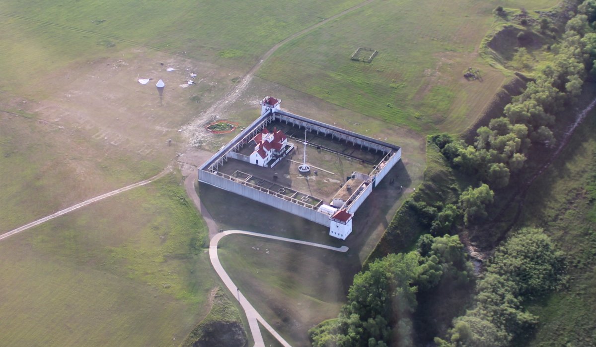
| An overhead shot. |
| |
 |
|
|
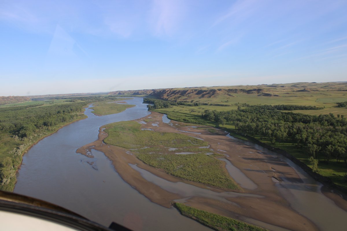
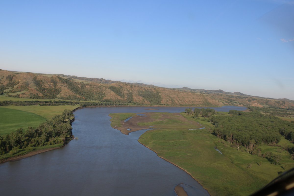
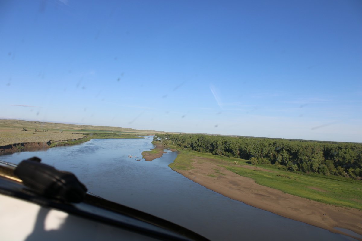
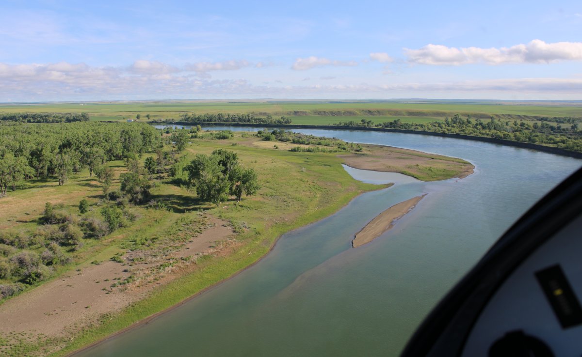
Contining on, I had the river to myself.
|
| |
 |
|
| |
| |
 |
|
|
|
| |
 |
|
| The pictures speak for themselves. |
| |
 |
|
| |
| |
 |
|
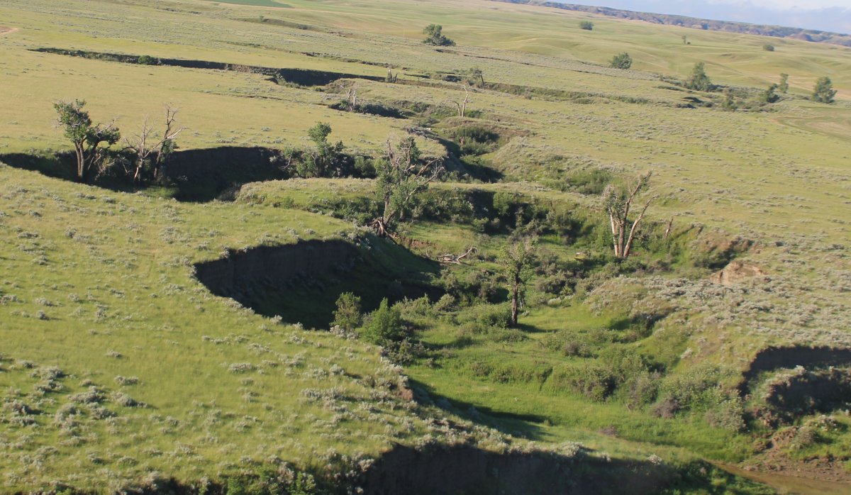
| A little change of pace -- looking down a gulley off the river. |
| |
 |
|
|
|
| |
 |
|
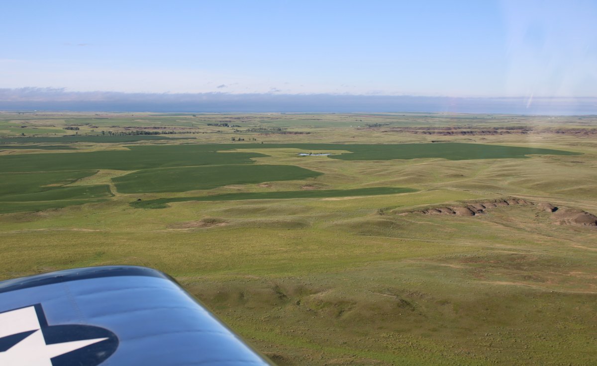
| The flat plains have given way to gently rolling hills. |
| |
 |
|
|
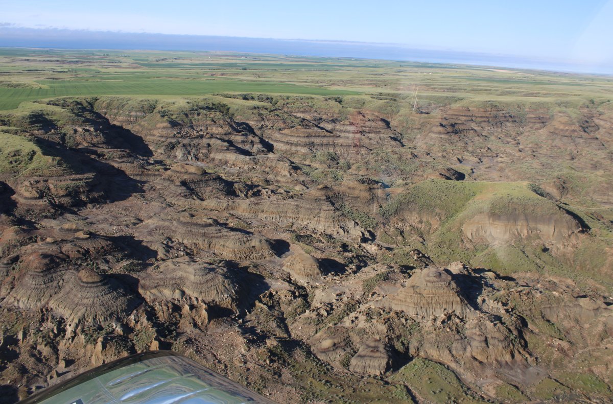
And some badland areas.
|
| |
 |
|
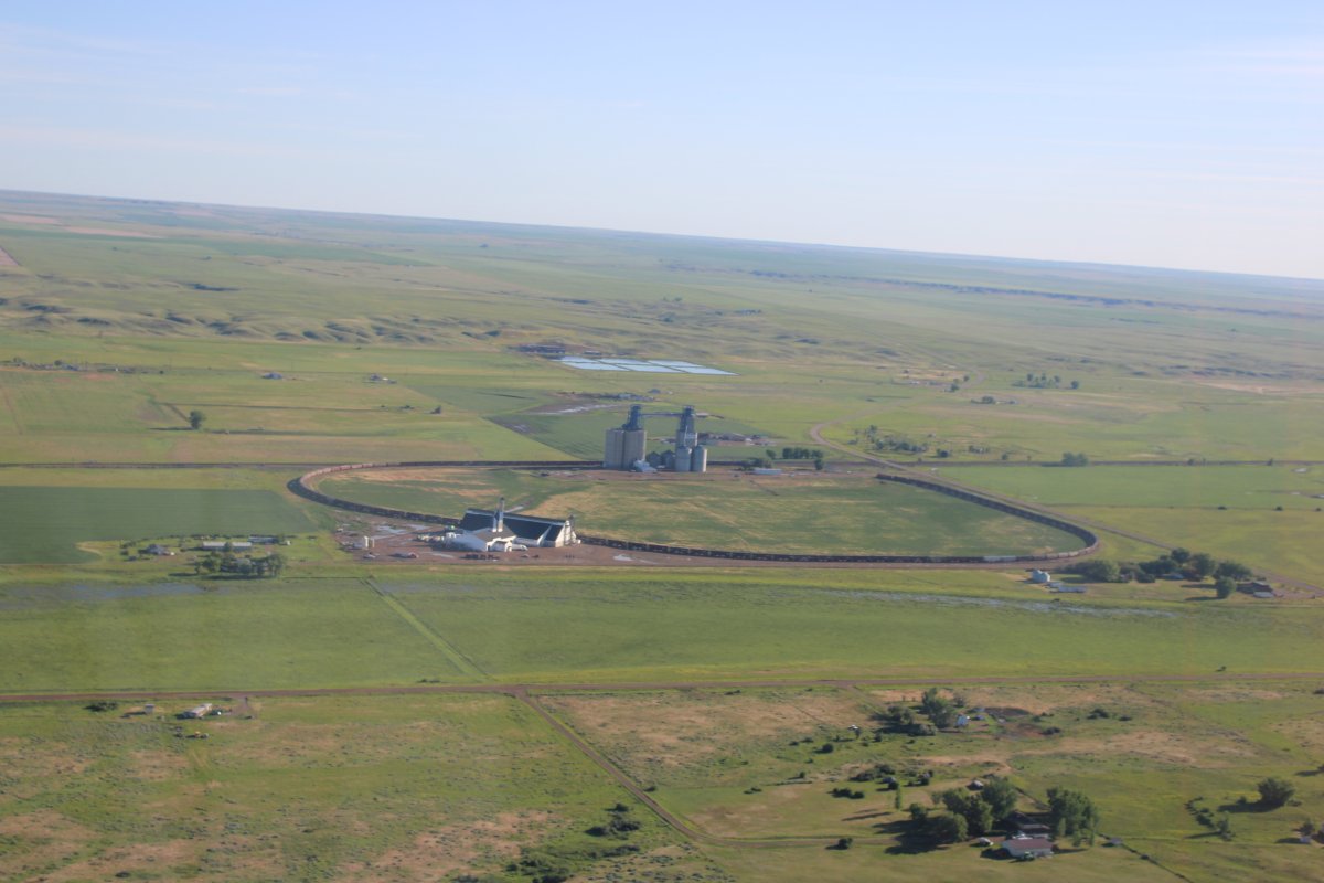
| This was kind of interesting. An oval train track off the straight line. |
| |
 |
|
|
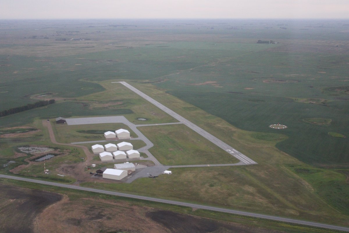
After a brief fuel stop, I was again on my way. The clouds had moved in a little.
|
| |
 |
|
| But heading west I outran them and soon was back in the sun. |
| |
 |
|
|
|
| |
 |
|
| |
| |
 |
|
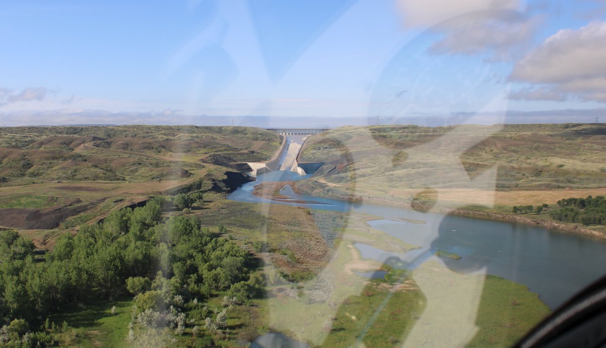
| Then I came to the Fort Peck Dam and spillway. On the other side, I knew, was Fort Peck Lake and then the Missouri Breaks! |
| |
 |
|
| |
| |
|
|
|
|
|
|