June 27, 2019 - Flight West Day Two Part II
|
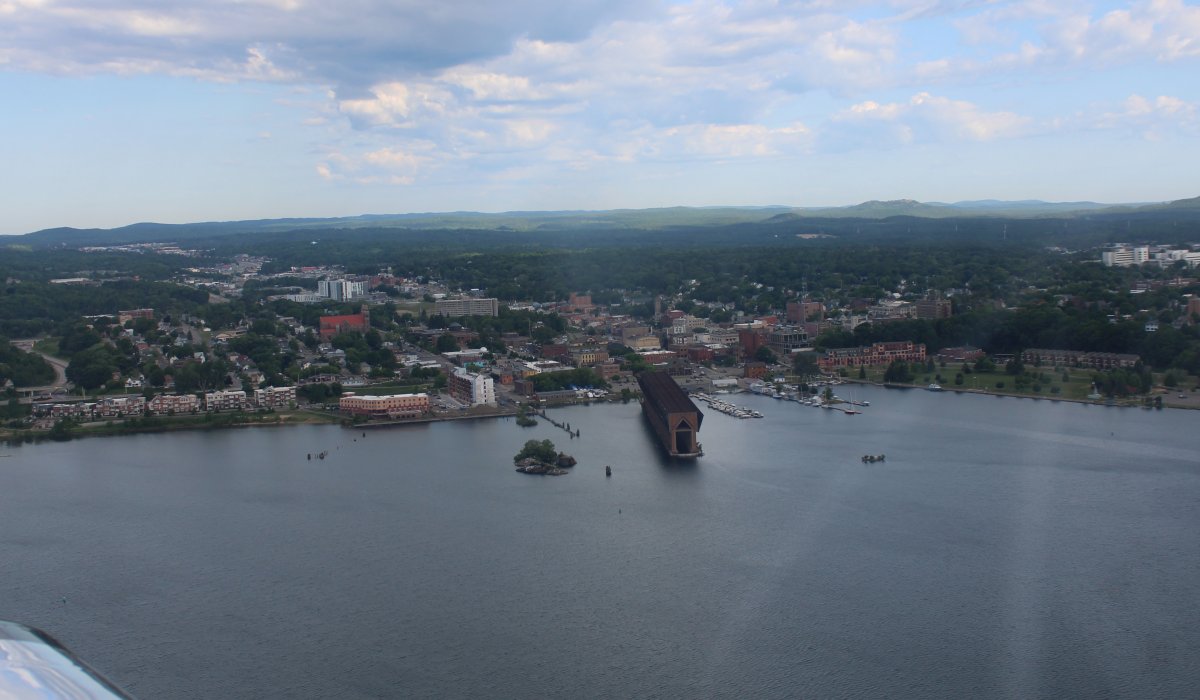
| Passing by the fairly large town of Marquette, a major port on Lake Superior known primarily for shipping iron ore, and the home of Northern Michigan University. |
 |
|
|
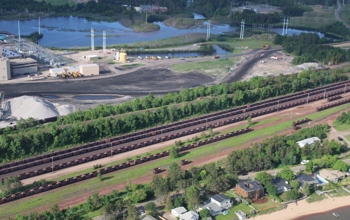
What in the world is that thing? I found out later it is an " Ore Dock". This one is a maritime & mining relic, formerly used for the loading of iron ore onto lake freighters. |
 |
|
|
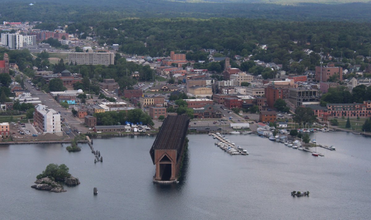
| Nearby is another one. This one looks like it is still operational. |
 |
|
|
|
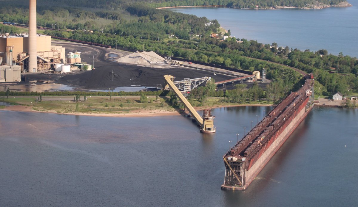
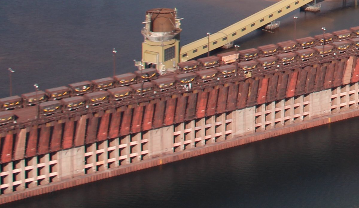
Railroad cars go right out onto the elevated pier where iron-ore is dumped directly into the ship.
|
 |
|
|
| Nearby is the iron ore and the railway cars. |
 |
|
|
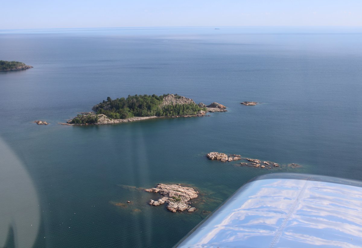
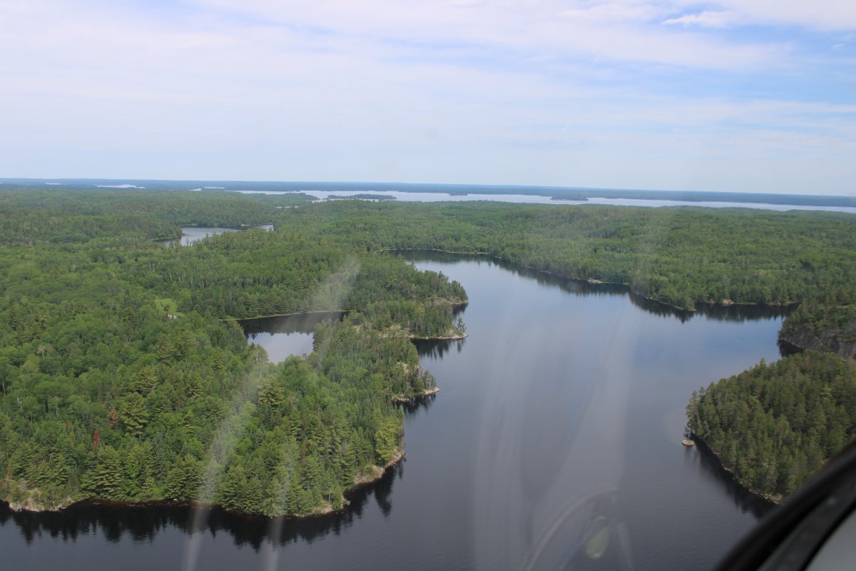
| Passing by Huron Island. |
 |
|
|
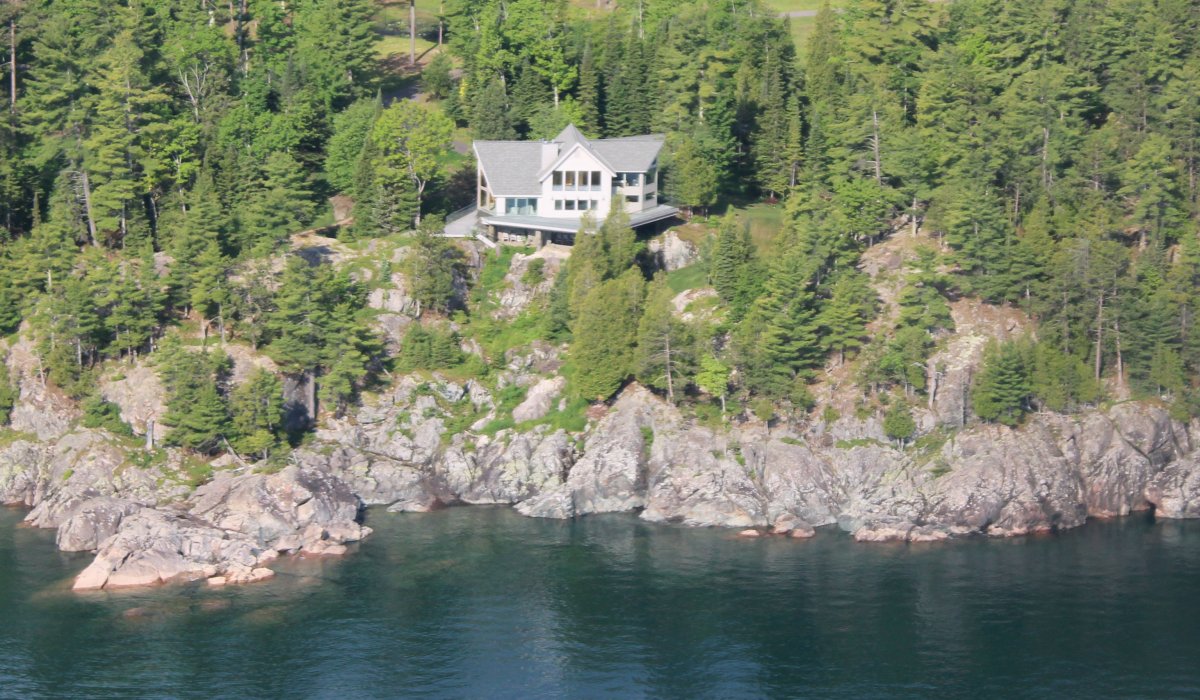
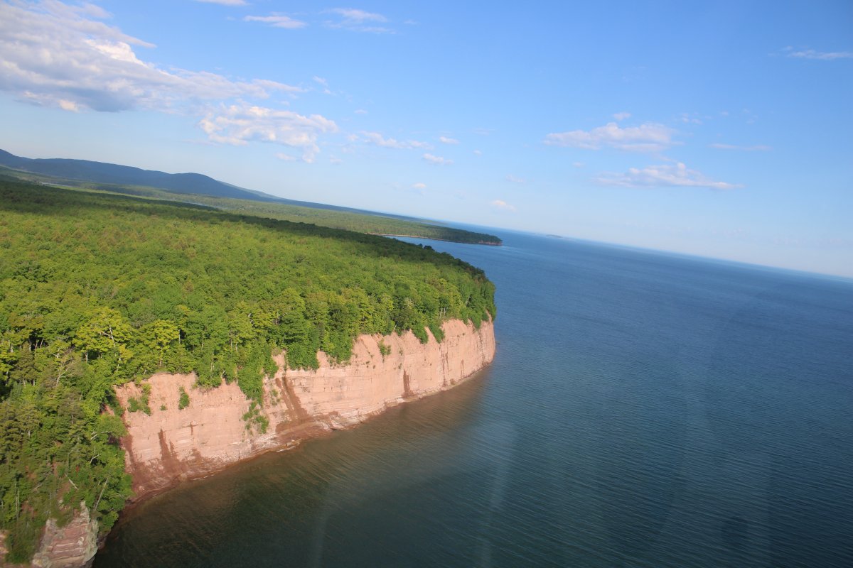
| Nice house overlooking Lake Superior. |
 |
|
|
|
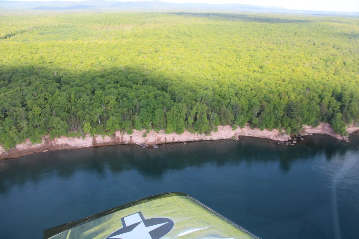
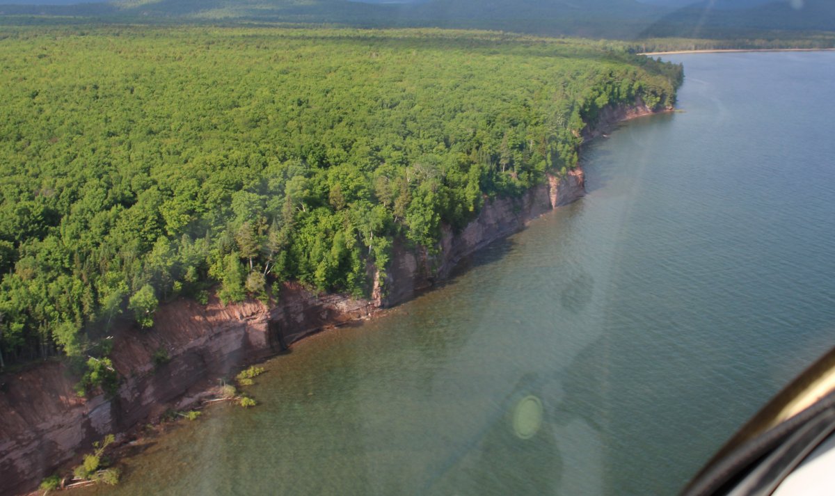
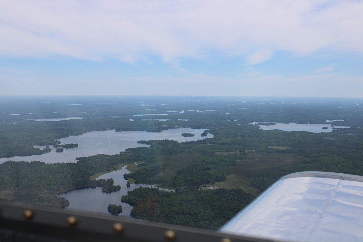
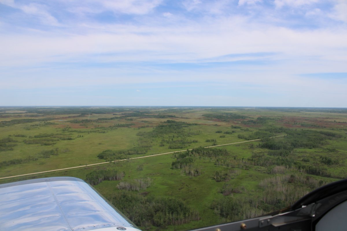
But still mostly trees in Upper Michigan.
|
 |
|
|
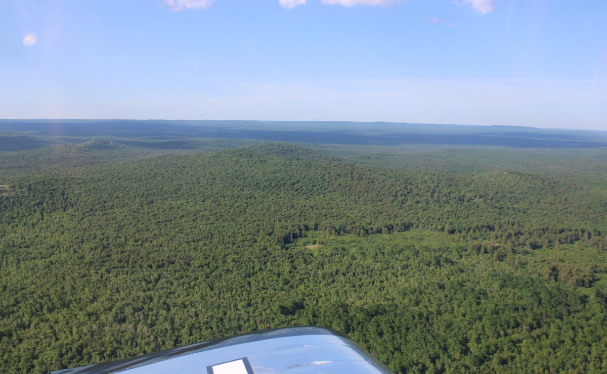
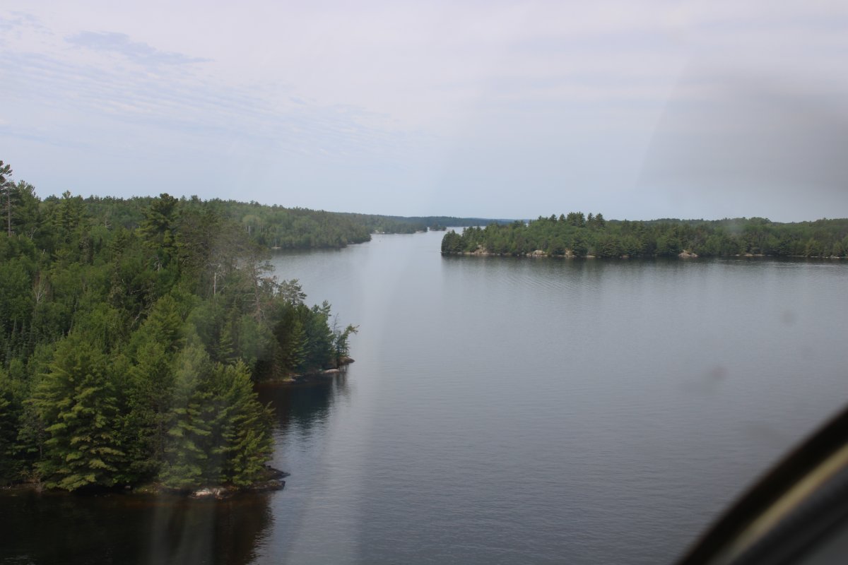
| Beautiful part of the country. |
 |
|
|
|
|
 |
|
|
| |
 |
|
|
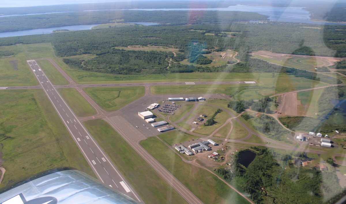
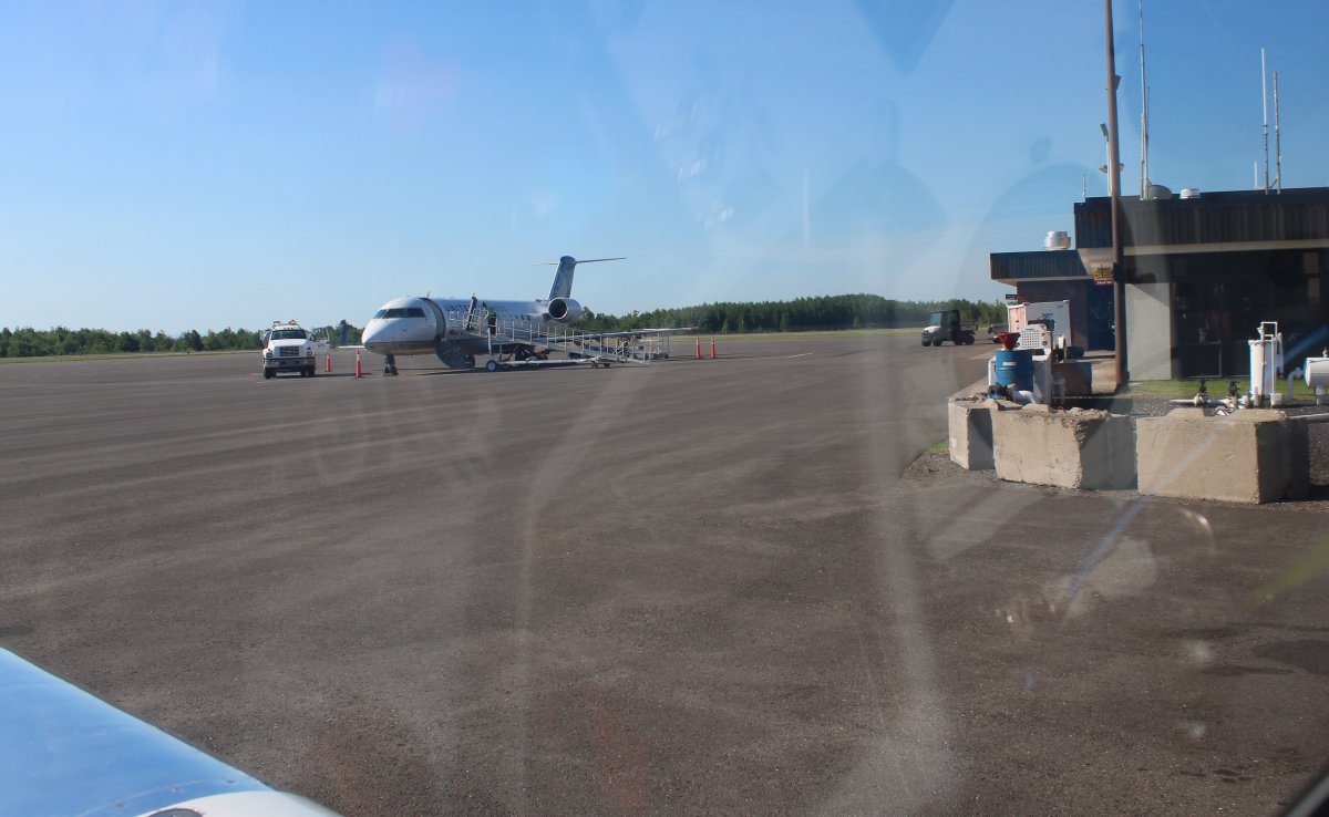
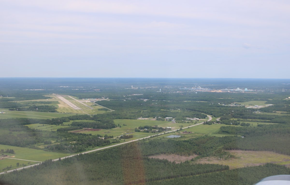
| I crossed the mouth of Keweenaw Bay and soon was overhead Houghton County Memorial Airport (KCMX) in the middle of the Keweenaw peninsula that juts north into Lake Superior. It's near Hancock, Michigan. I did not expect to find such a large airport including passenger terminal here. In fact, a small passenger jet arrived at the same time I did. I let him land ahead of me, nice guy that I am. |
 |
|
|
|
There's the passenger jet. Quite a few passengers debarked and headed into the terminal. Which was a real terminal with metal detectors and such. But no food service unfortunately. I was able to refuel, though, which was the important thing.
|
 |
|
|
|
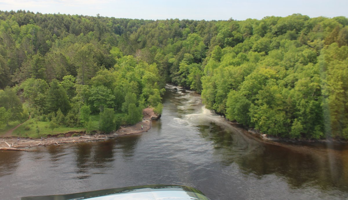
I was soon on my way heading southwest along the Lake Superior coast.
|
 |
|
|
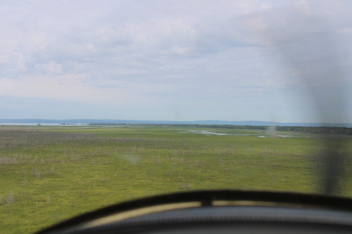
| Flying low over the swamp lands southwest of the Apostle Islands. I am in Wisconsin now. |
 |
|
|
|
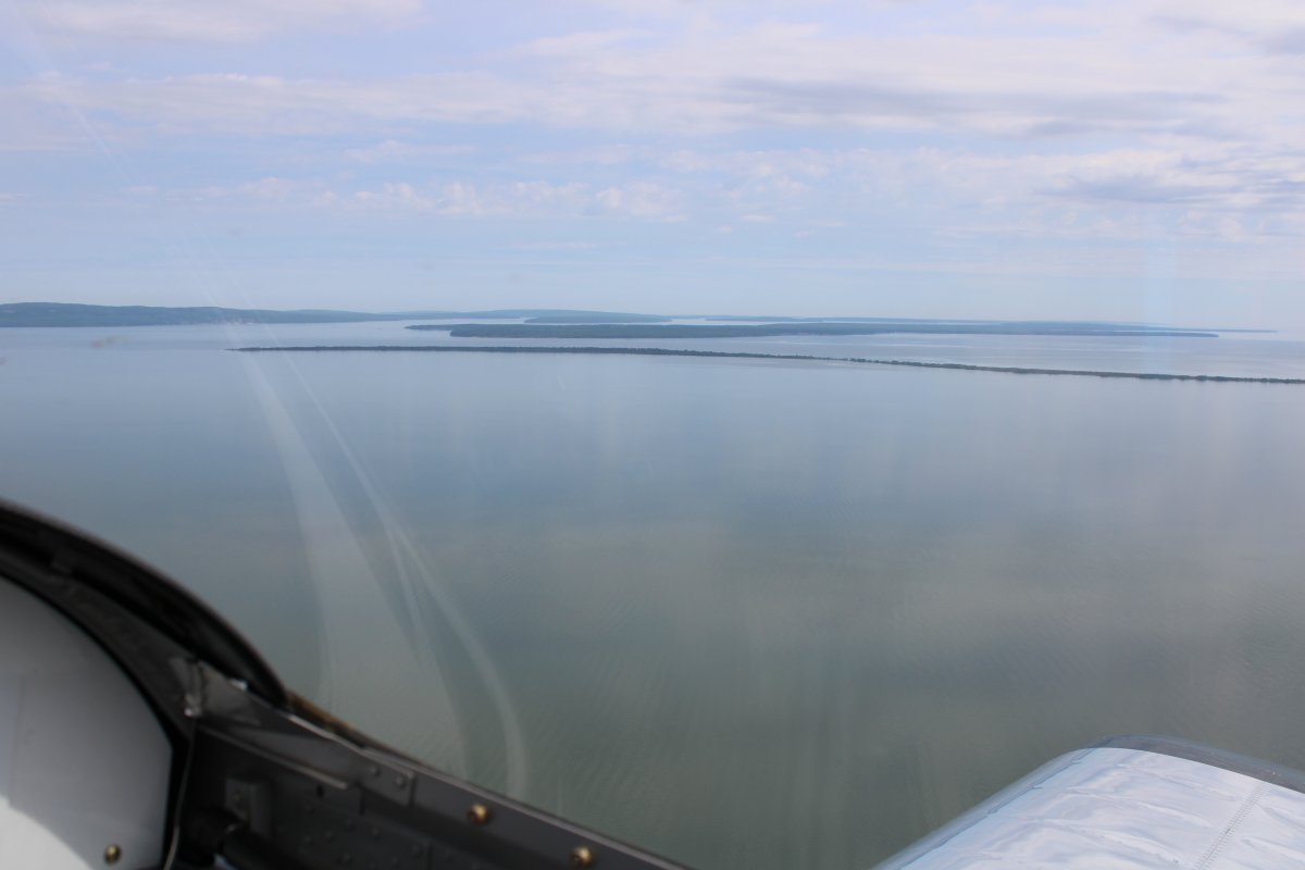
I crossed the finger of Lake Superior that points southwest to Duluth. Ahead is Minnesota.
|
 |
|
|
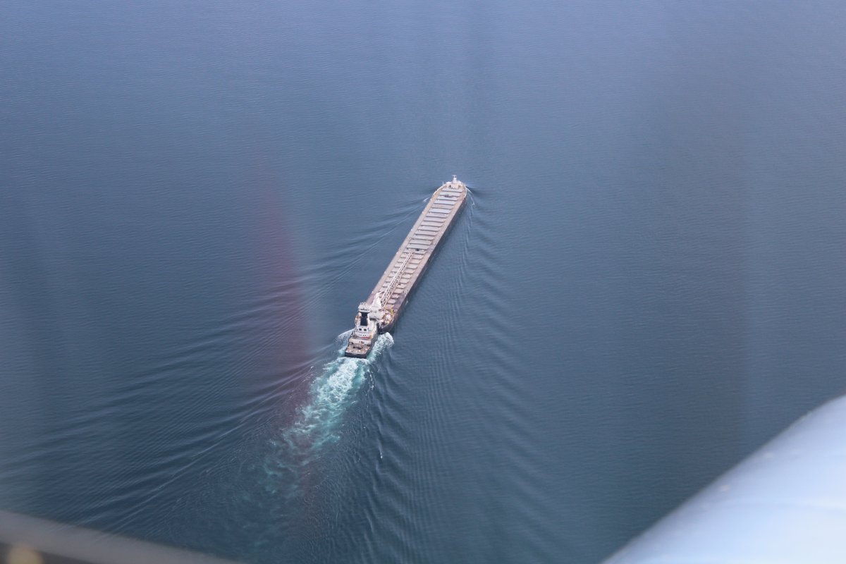
| Passing a tow-boat pushing a barge from Duluth into Lake Superior. |
 |
|
|
|
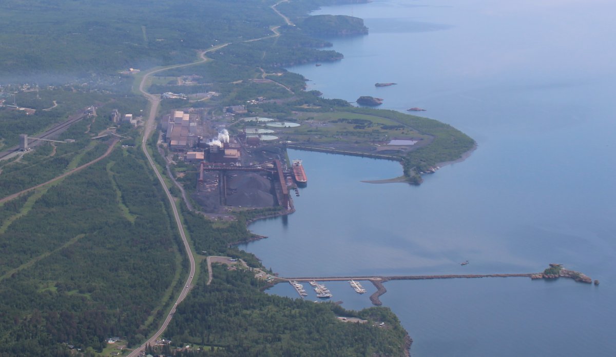
Passing by Silver Bay, which was a company town built to process Taconite mined and shipped by train from Babbitt, Minnesota, sixty miles to the northwest.
Taconite is a variety of iron formation, an iron-bearing (over 15% iron) sedimentary rock, in which the iron minerals are interlayered with quartz, chert, or carbonate. The iron content of taconite, commonly present as finely dispersed magnetite, is generally 25% to 30%. In the late 19th and early 20th centuries, the United States was mining such an abundance of iron ore of high quality that taconite was considered an uneconomic waste product. By the end of World War II, however, much of the high-grade iron ore in the United States had been exhausted. Taconite became valued as a new source of the metal.
The SS Edmund Fitzgerald, which sank in Lake Superior on November 10, 1975, was carrying about 26,116 long tons of taconite pellets.
|
 |
|
|
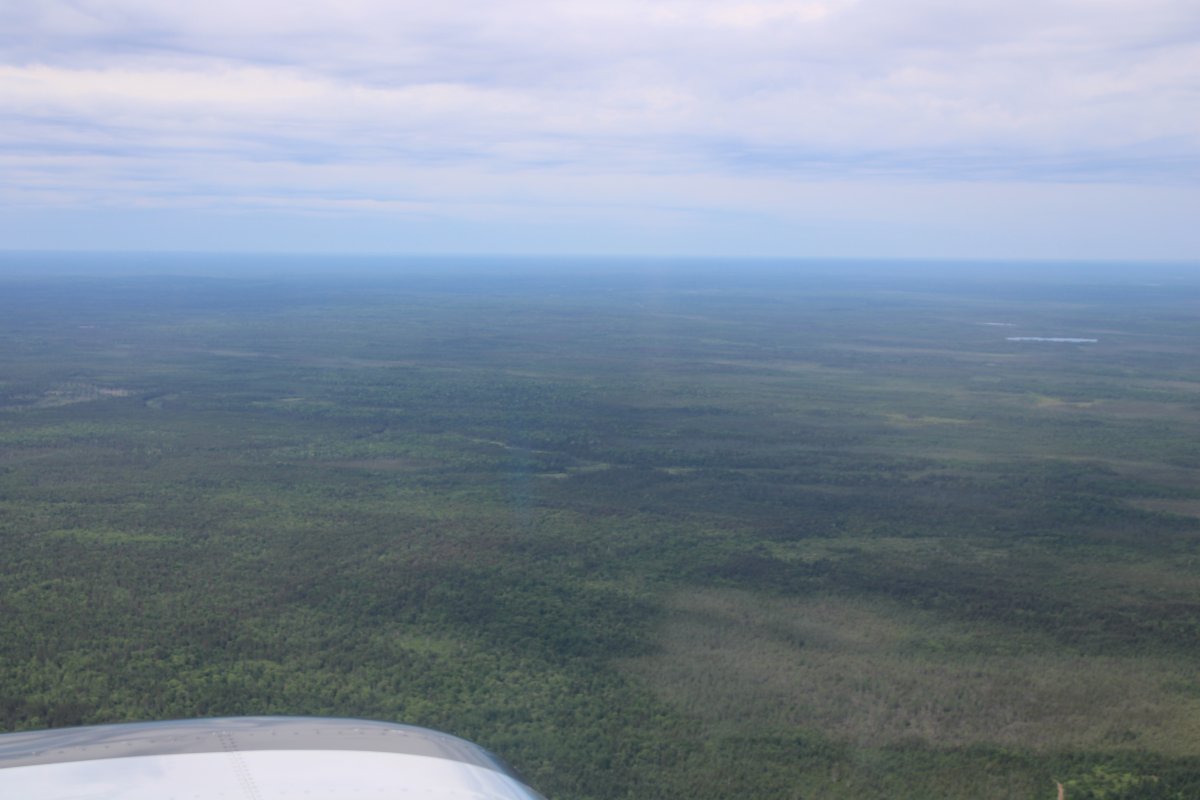
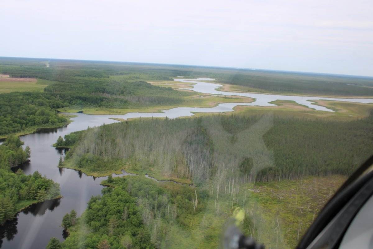
| Leaving the Great Lakes, I headed northwest across tree-covered northern Minnnesota. |
 |
|
|
|
As I pass Ely Municipal Airport (KEYO) I start seeing lots of little lakes.
|
 |
|
|
| Yep, they don't call Minnesota the "Land of 10,000 Lakes" for nothing. |
 |
|
|
|
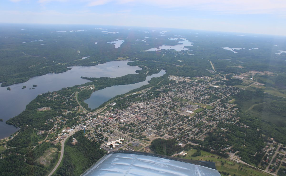
The town of Ely.
|
 |
|
|
| Surprisingly, there are two prohibited areas up here: one gigantic one and one average size one. Most prohibited areas have to do with national security but these two are for the Boundary Waters Canoe Wilderness Area. In these areas, flight is prohibited below 4,000 feet mean sea level. The elevation around here is 1,400 feet so you have to stay roughly 2,600 feet above ground level. I think the reason is so noisy airplanes don't disturb the quiet solitude of the canoers. I didn't fly through the big P-204 area, and flew over the top of the smaller P-205. Then I descended on the other side. |
 |
|
|
|
I was still angling northwest right up to the Canadian border.
|
 |
|
|
| Now I could go down and take a closer look. |
 |
|
|
| |
 |
|
|
| |
 |
|
|
|
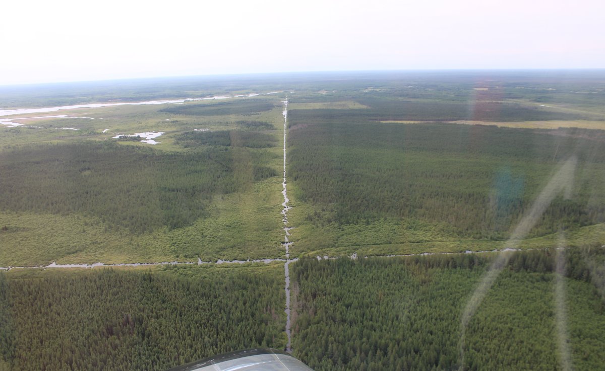
Unusual to see straight lines like this in the wilderness.
|
 |
|
|
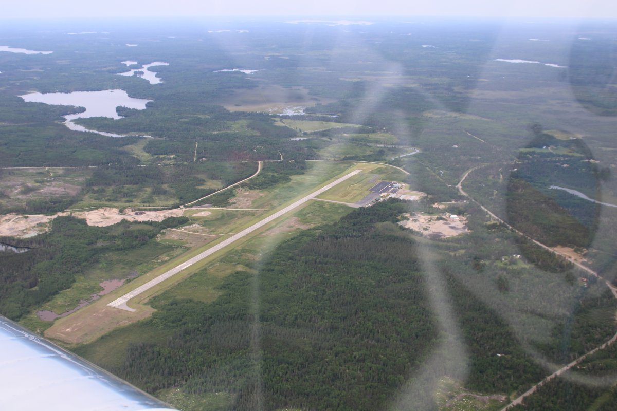
| Passing by Falls International Airport, right on the Canadian border in the center of Minnesota. International Falls is the name of the town. It is nicknamed "Icebox of the Nation,” with an average of 109.4 days per year with a high temperature below 32 °F. I spent a winter in Mound, Minnesota -- near Minneapolis -- a long time ago. The winter was unbelievable there; I can't even imagine what it must be like up here. |
 |
|
|
|
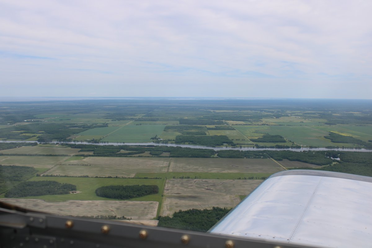
That is the Rainy River and marks the border between the USA and Canada.
|
 |
|
|
| Passing by Baudette on the Rainy River. Baudette Airport is just visible in the center of the picture, running parallel to the river. The large body of water at the top left of the picture is the big Lake of the Woods. |
 |
|
|
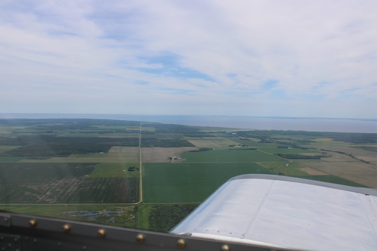
| Flying along the southern edge of the Lake of the Woods. Notice that you are starting to see farm fields instead of trees. We are entering the Great Plains. |
 |
|
|
|
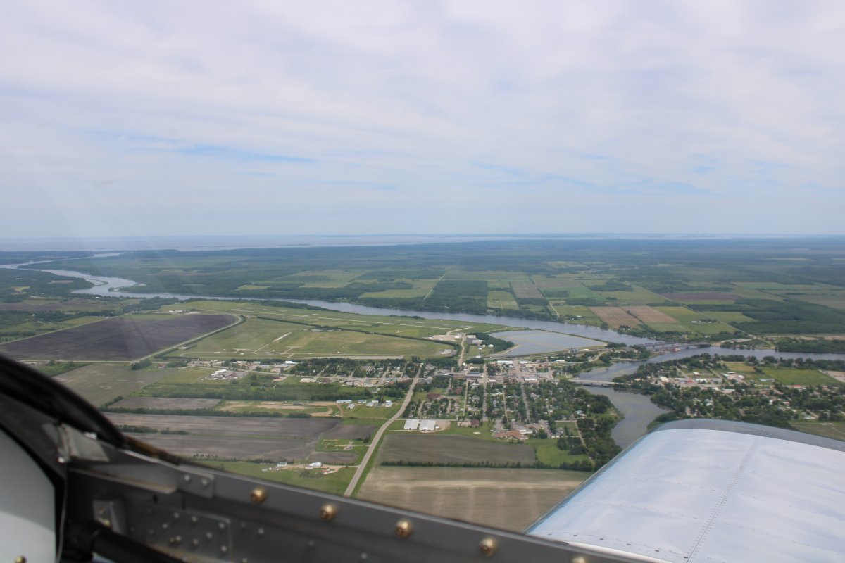
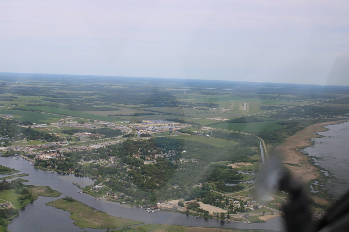
Approaching Warroad International Airport dead ahead. (Canada is only a couple of miles straight ahead) The town of Warroad is to the left. I decided to land here to get fuel and food for the pilot.
Warroad sits on the edge of the Lake of the Woods and is known for the great fishing there.
|
 |
|
|
|
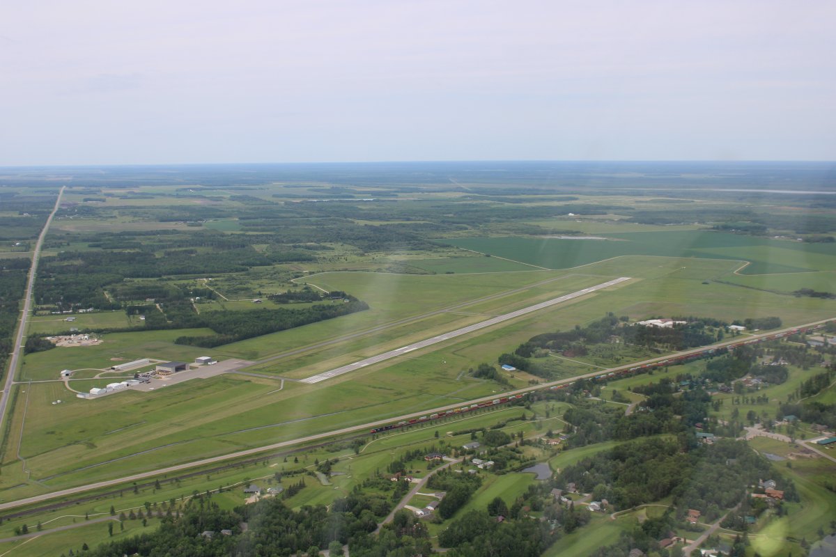
A closer look at the airport with a nice, long runway. Hard to see, but running left to right, is a very nice grass runway which is what I landed on.
|
 |
|
|
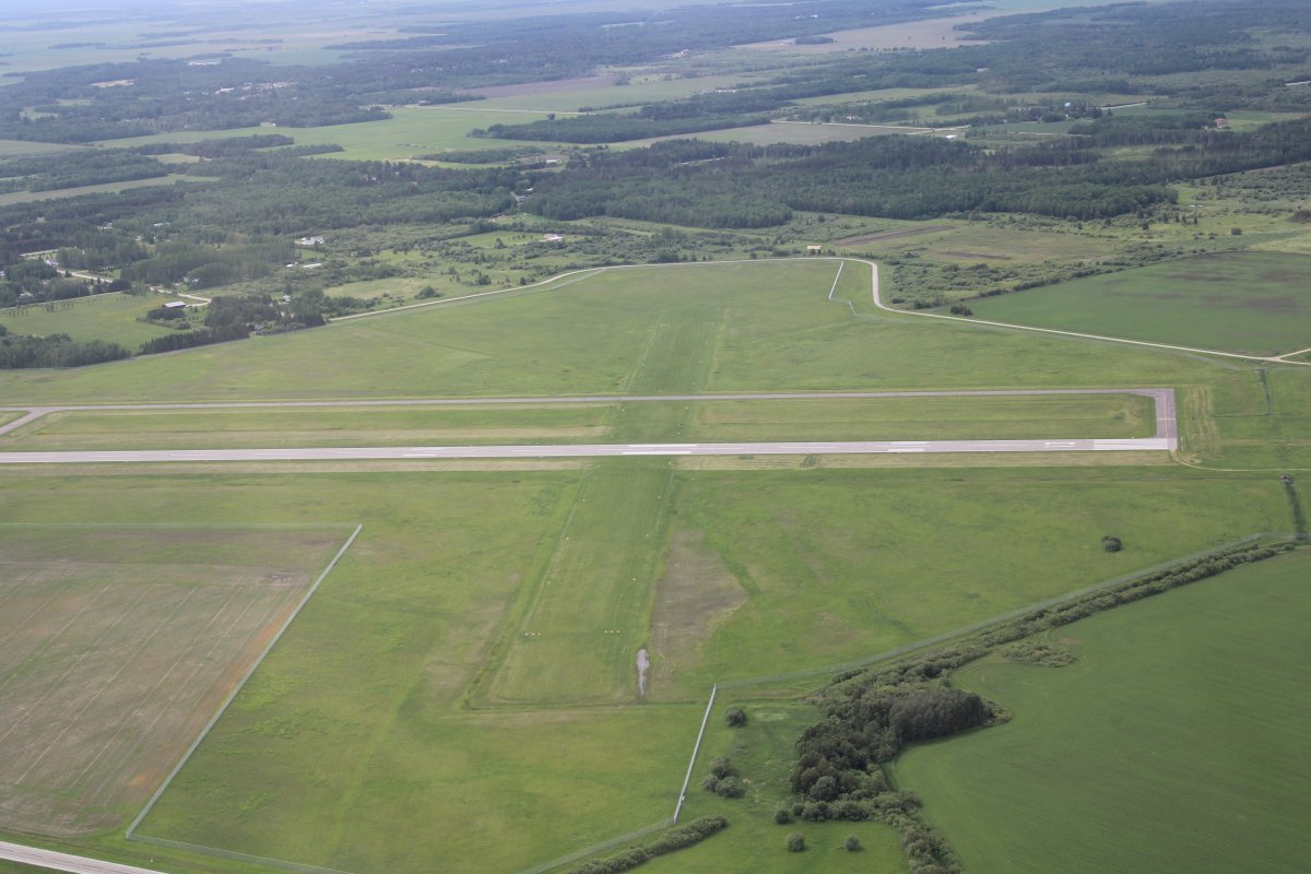
| Here you can see the grass runway really well. This was the only grass runway I landed on the entire trip unfortunately. I love landing on the grass. |
 |
|
|
|
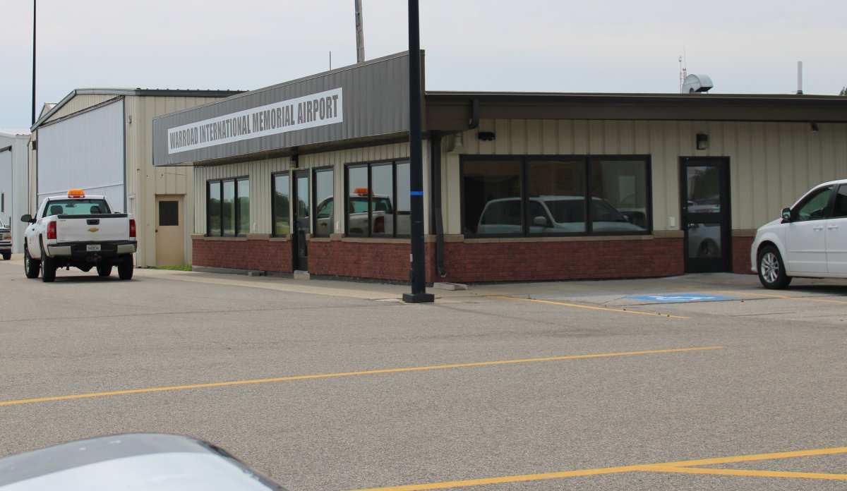
The FBO office where the courtesy car keys were to be had.
|
 |
|
|
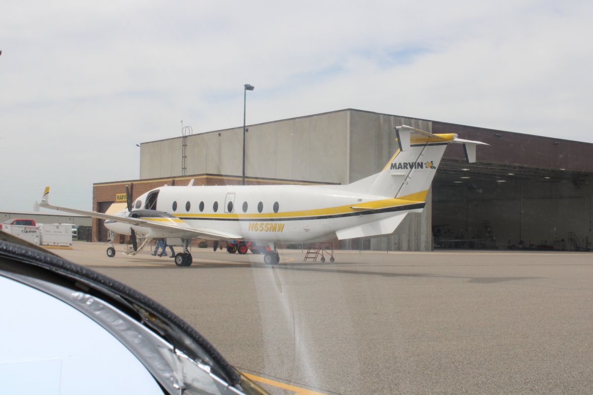
| This big turbo-prop twin was one of two owned by Marvin Windows and Doors, along with that big hangar. |
 |
|
|
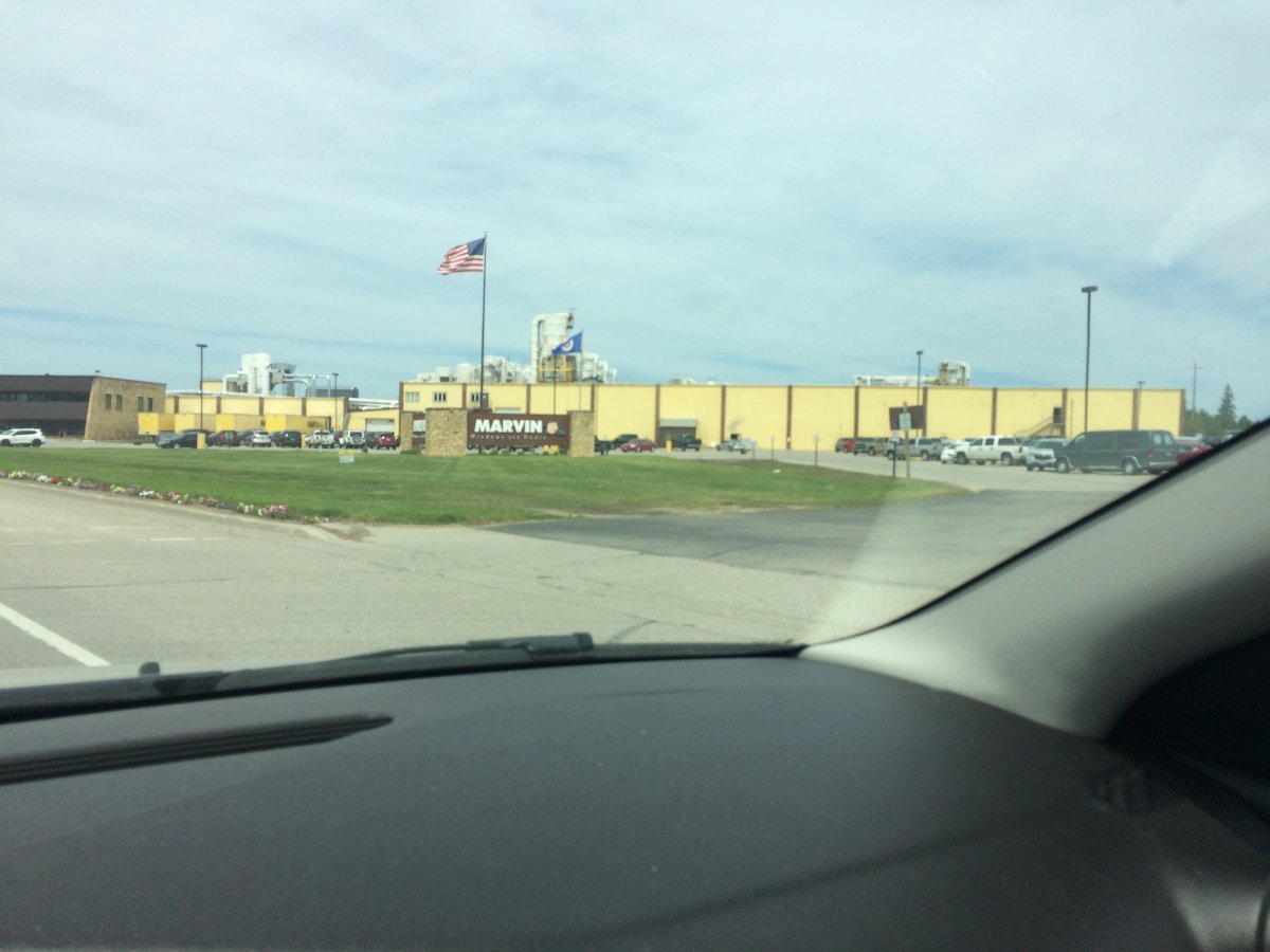
| Driving into town in search of something to eat, I passed by the big Marvin Windows and Doors plant. |
 |
|
|
|
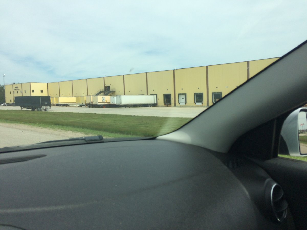
And then the Marvin Windows and Doors warehouse. I also passed by the Wm. S. Marvin Training and Visitor Center. I wish I had had the the time to check it out.
Instead I had lunch at this gas station cafe then headed back to the airport.
|
 |
|
|
|
Continuing on, I passed by Piney Pinecreek Border Airport (48Y), which is interesting in that half of it is in the U.S. and half of it is in Canada. See how there are two parking ramps? The one closest is US, the one farthest is Canada. You can see a border crossing station on the road to the right of the airport. I was sorely tempted to land here but decided not to tempt fate.
|
 |
|
|
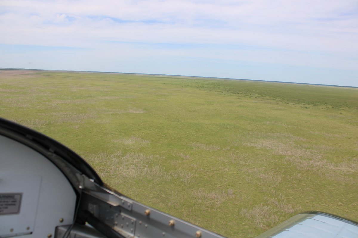
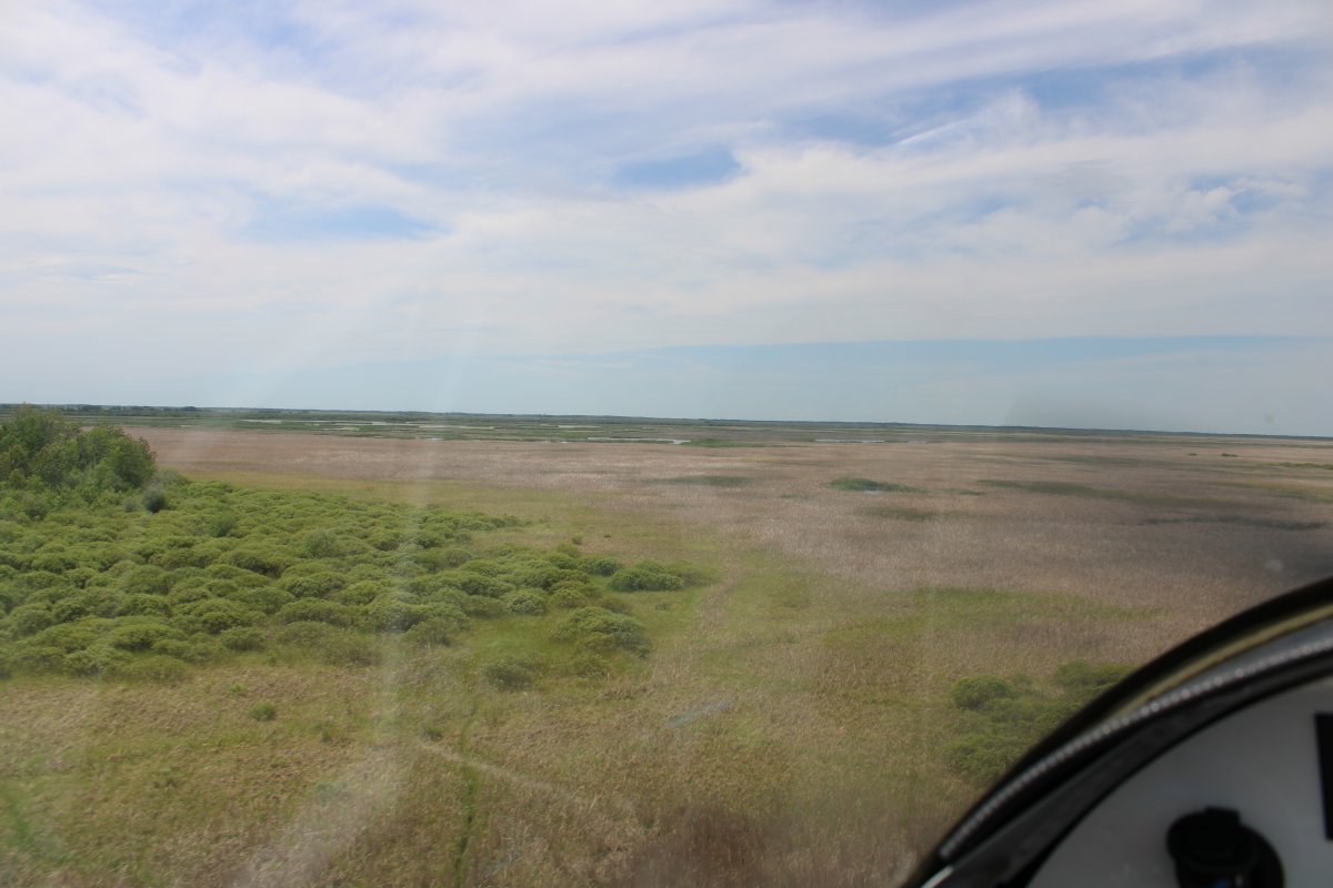
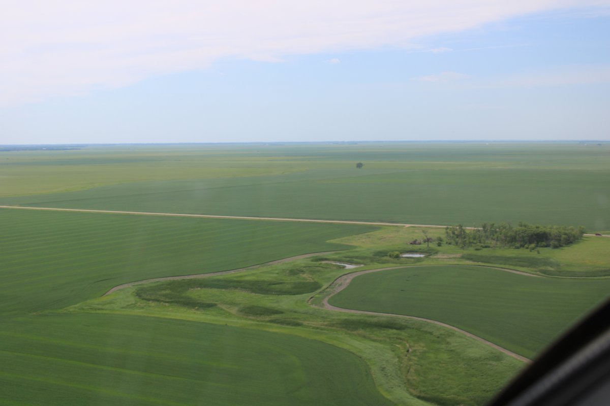
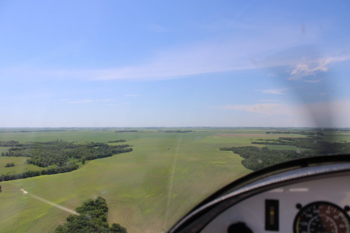
| Yes, I'm definately in the Great Plains now. I don't think I've ever seen such flat country with virtually no obstructions. |
 |
|
|
|
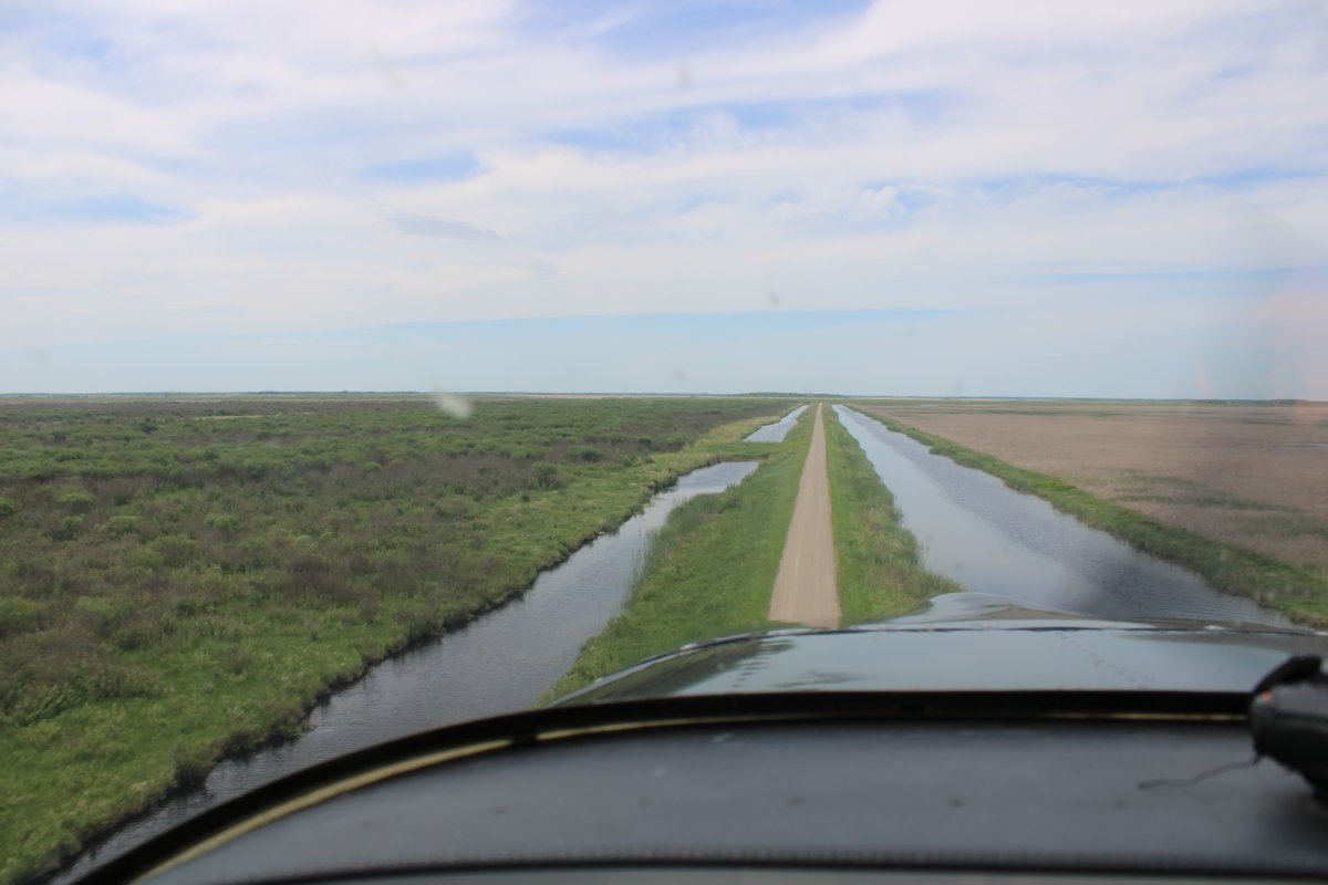
Flying down a dirt road. Just like driving only it is three-dimensional.
|
 |
|
|
| |
 |
|
|
| |
 |
|
|
| At some point I crossed into North Dakota. |
 |
|
|
|
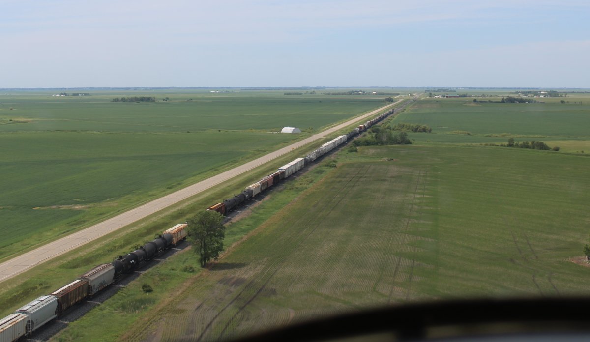
Overtaking a big freight train.
|
 |
|
|
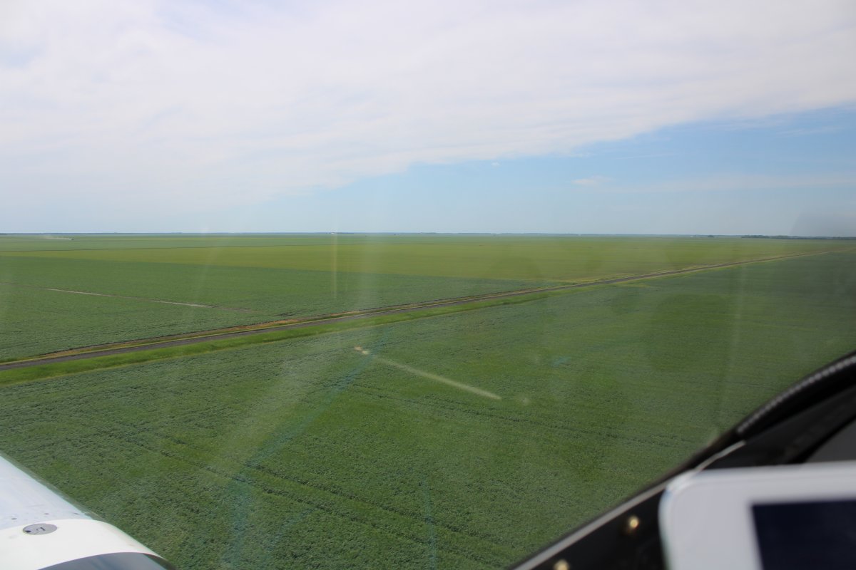
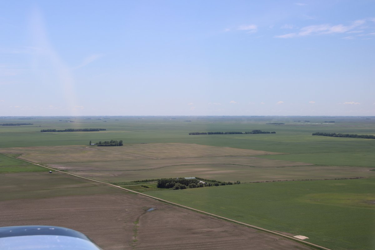
| Flat, flat, flat! |
 |
|
|
|
Low-flyer's paradise.
|
 |
|
|
| Passing by Cavalier Municipal Airport, North Dakota. |
 |
|
|
| Continuing on. |
 |
|
|
|
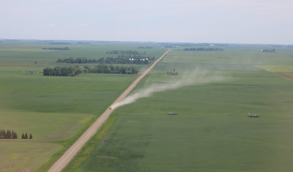
A truck zooms down a wide dirt road. Nice of him to show me the wind direction.
|
 |
|
|
| It was also nice how green everything was. |
 |
|
|
|
Approaching Langdon, North Dakota.
|
 |
|
|
| Robertson Field Airport outside Langdon. |
 |
|
|
|
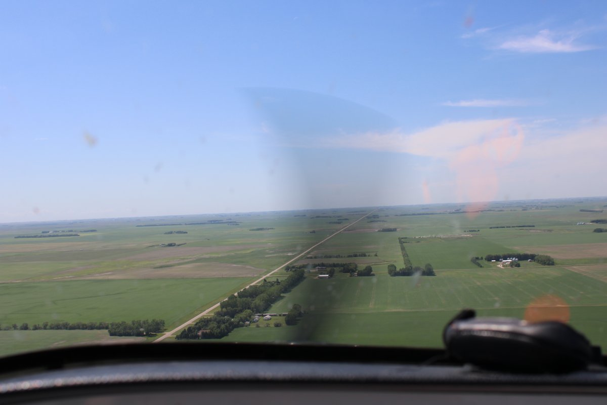
All roads run east-west or north-south here in North Dakota.
|
 |
|
|
| Again, I've never seen a better place if you like to fly low. |
 |
|
|
|
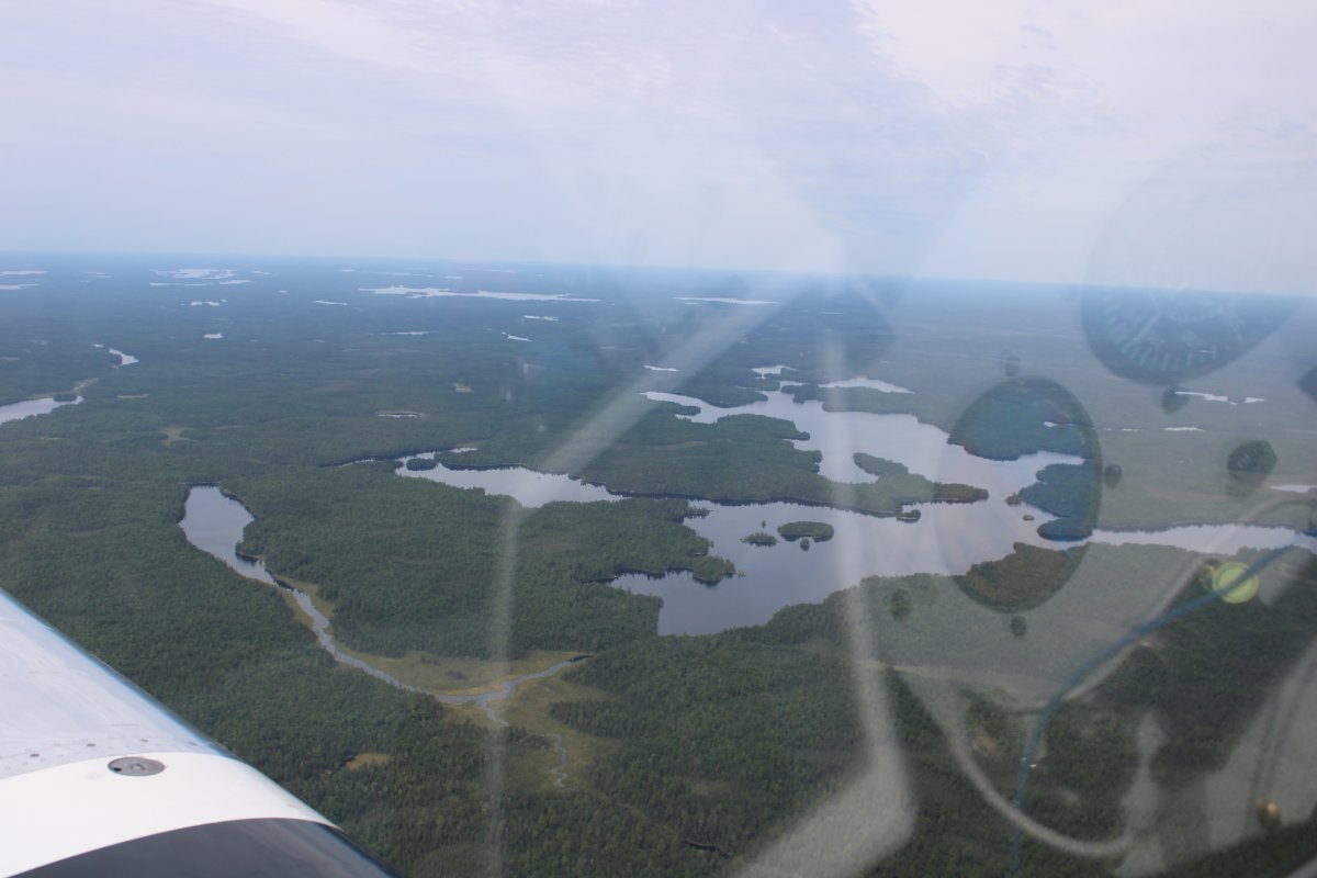
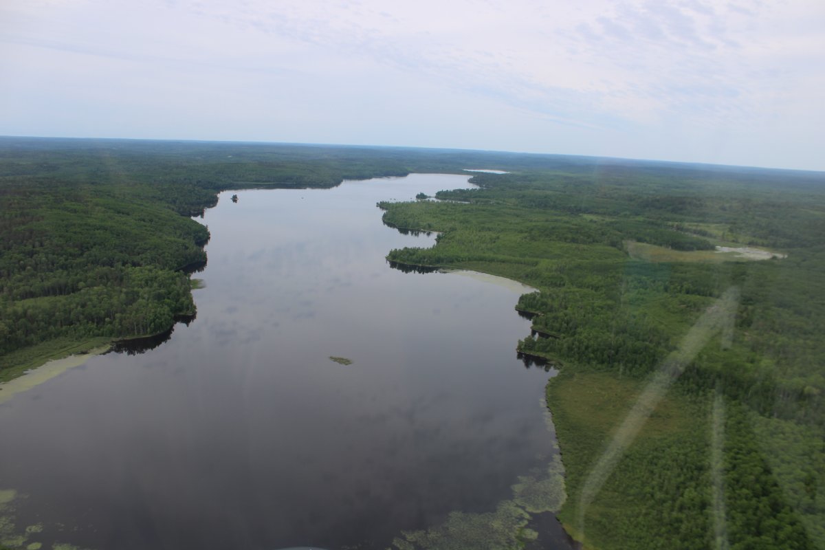
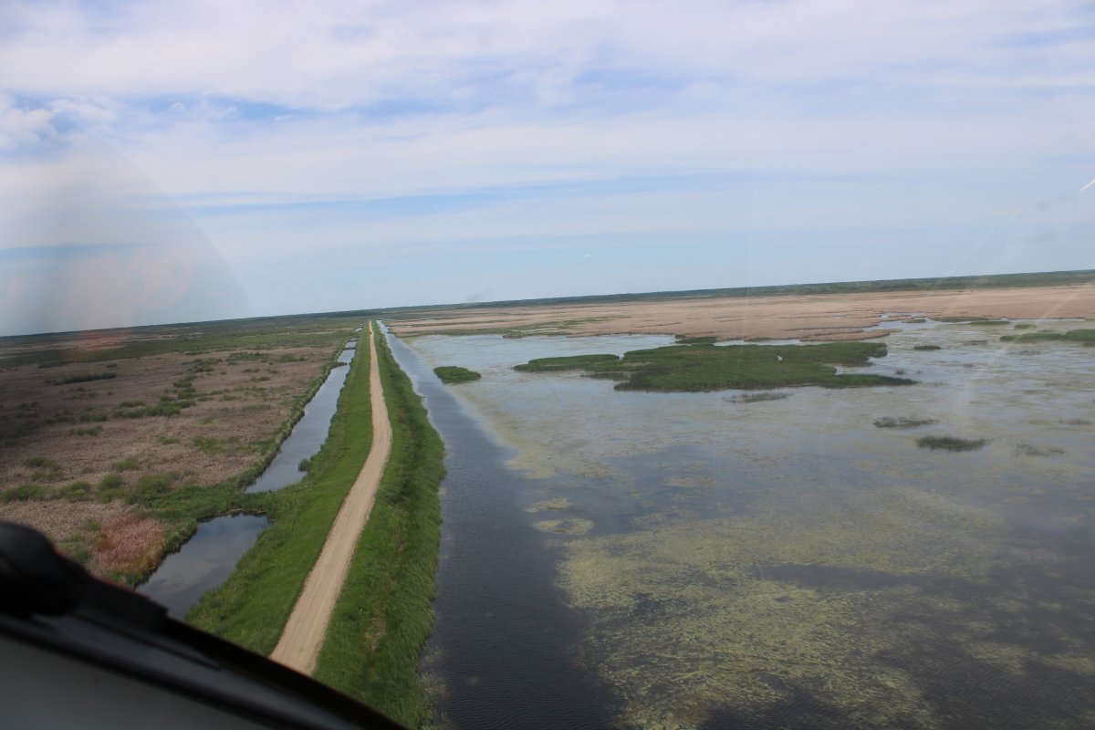
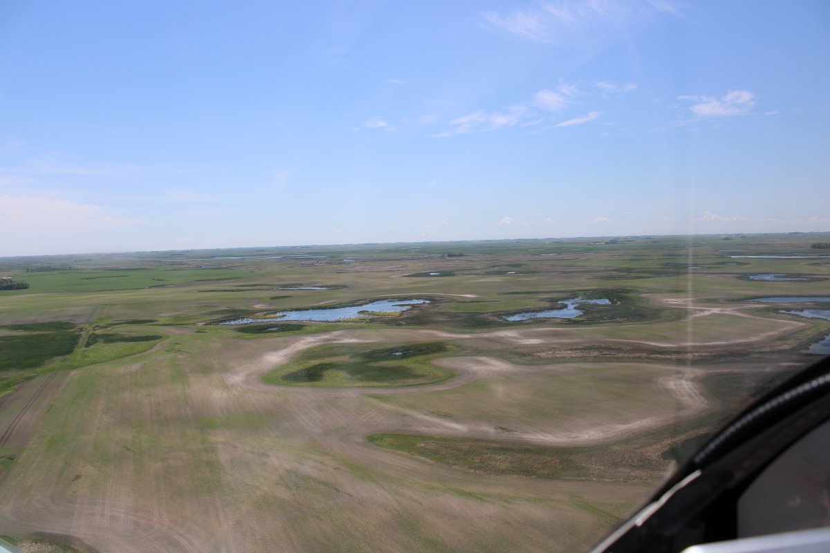
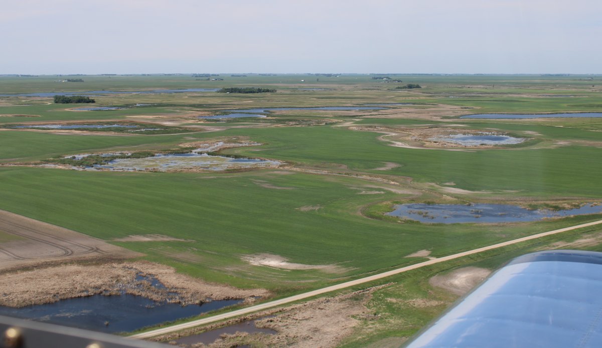
Lots of little lakes in this area. It even says on the aeronautical chart "numberous intermittant lakes".
|
 |
|
|
| More intermittant lakes. |
 |
|
|
|
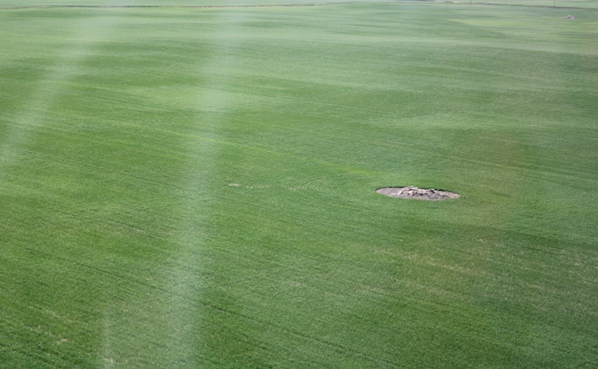
Then I started seeing these little circles of rock debris in the fields.
|
 |
|
|
|
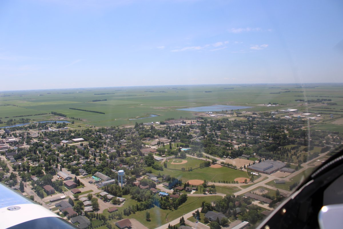
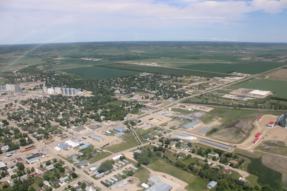
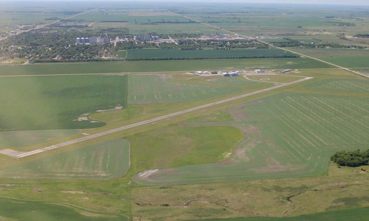
My stop for the day: the town of Bottineau with the airport at the top of the picture.
|
 |
|
|
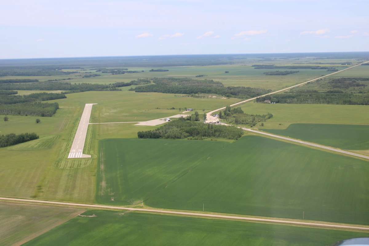
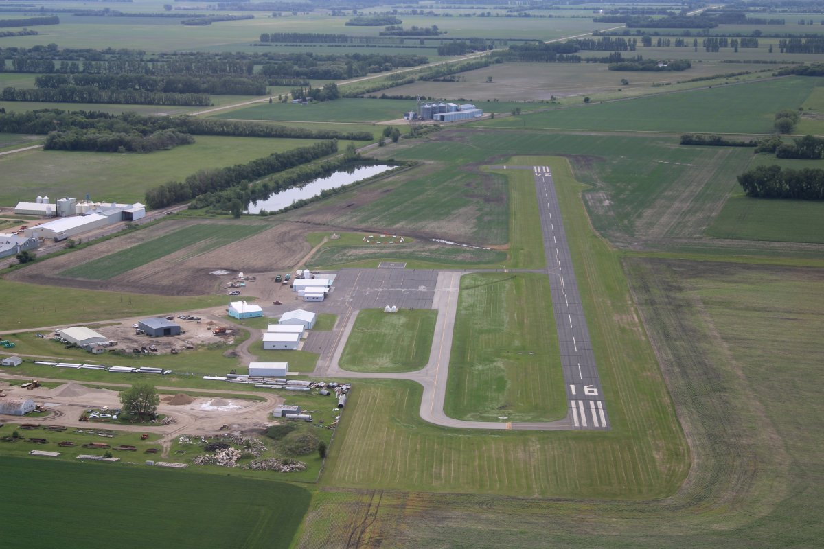
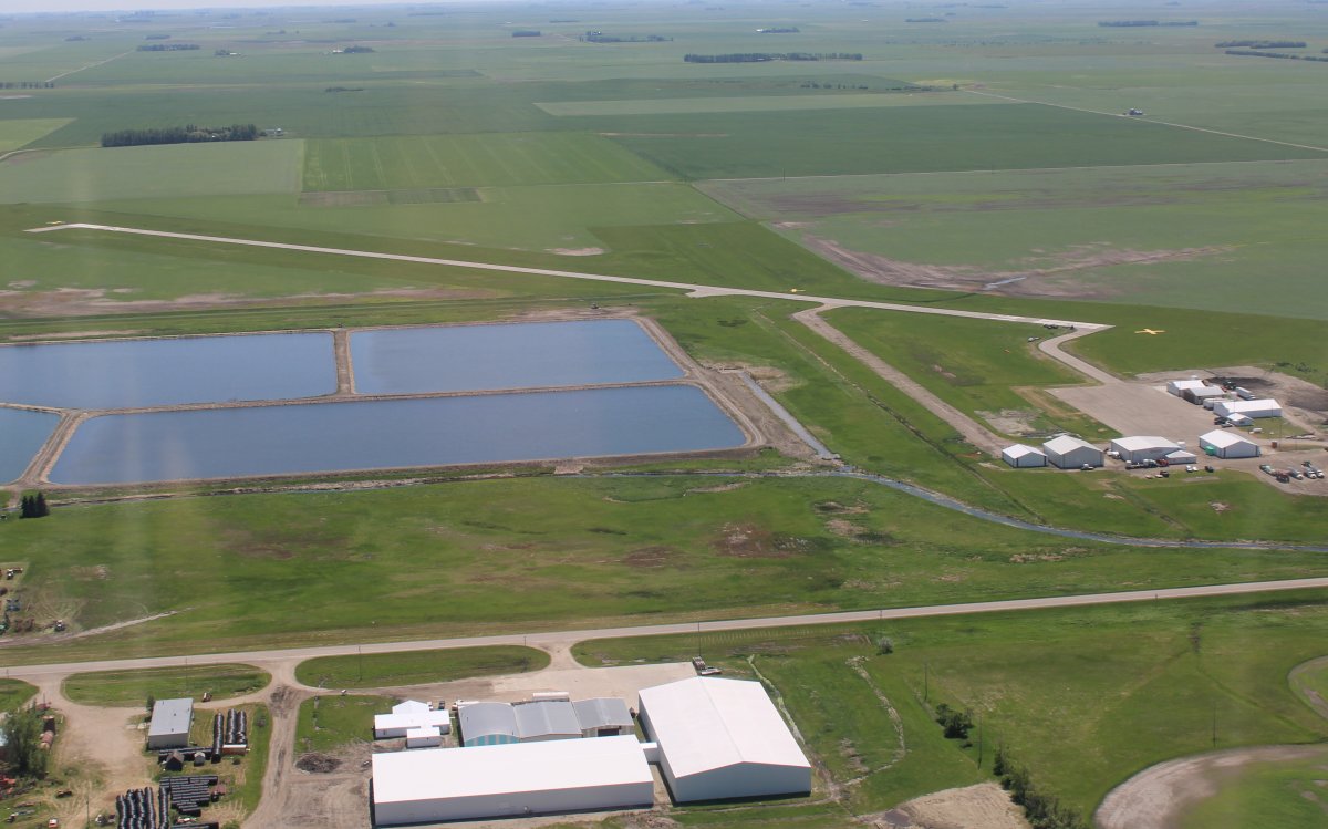
| Bottineau Municipal Airport (D09). Besides the long asphalt runway, there is a shorter grass runway. But the winds were favorable to the long runway so I landed on it. |
 |
|
|
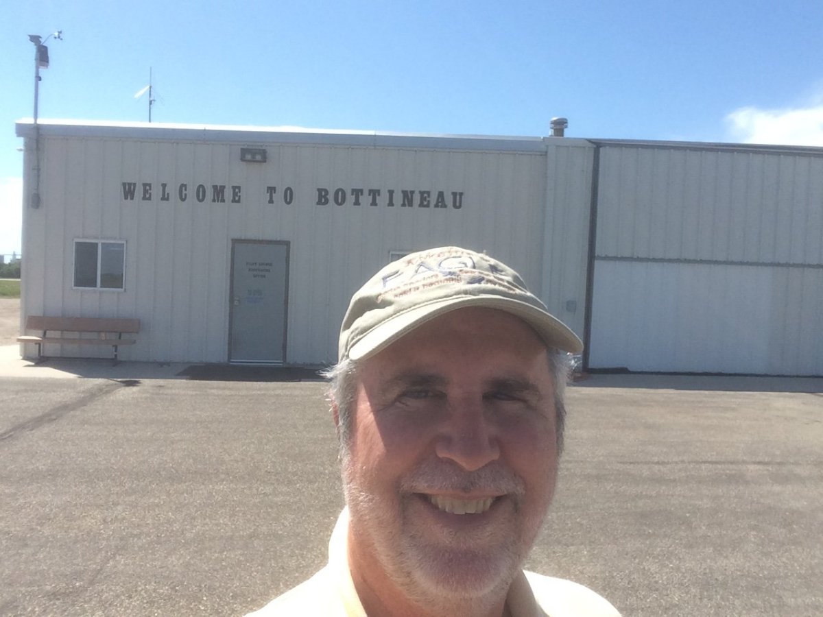
| The airport was unattended but a pilot's lounge area was open with a bathroom and cold drinks available. On the wall was a note that said call Leo if you need anything. So I called Leo who came right out. Leo helped me with fuel (no self-service pump) and volunteered free use of the hangar for my RV-7. He gave me the keys to the courtesy car and advised on nearby lodging (you could almost walk it) and places to eat. Its people like Leo and airports like Bottineau that make living the dream seeing the country in your airplane possible. |
 |
|
|
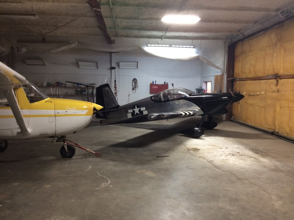
| The RV-7 gets to spend the night indoors, the only time on this trip that would happen. |
 |
|
|
| |
| |
|
|
|
|
|
|