June 27, 2019 - Flight West Day Two (Part I)
N. Michigan, Lake Huron, Mackinac Bridge, Lake Superior
|
| I was back to the airport early and in the air by 6:30AM. |
| |
 |
|
|
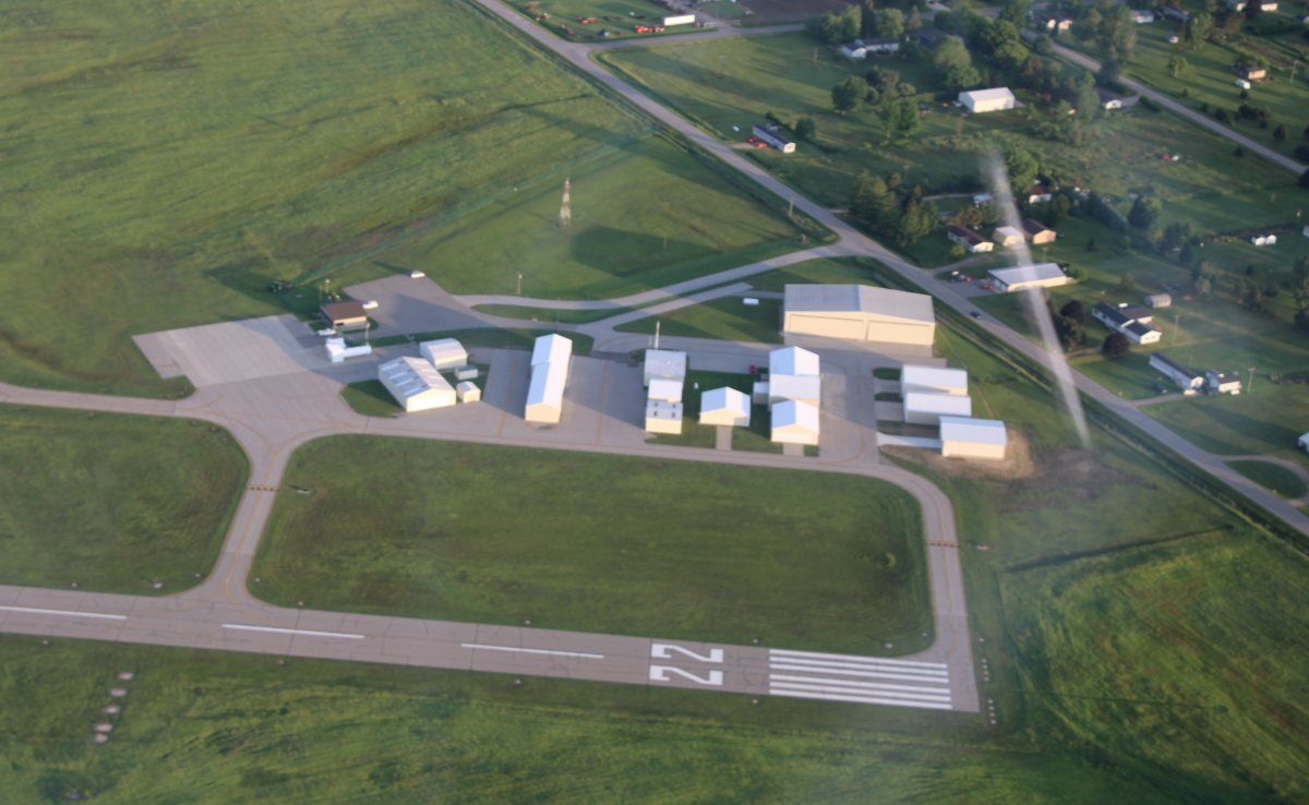
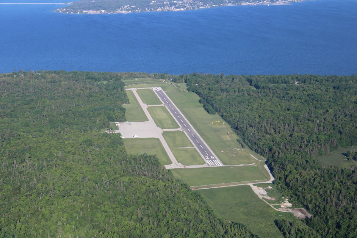
Overhead the airport. Bad Axe has a nice airport. I know airports like this aren't self-supporting and are subsidized by the County, State and Federal Governments. Pilots are very lucky in this country to have such a marvelous aviation infrastruction and the freedom to fly just about anywhere.
|
| |
 |
|
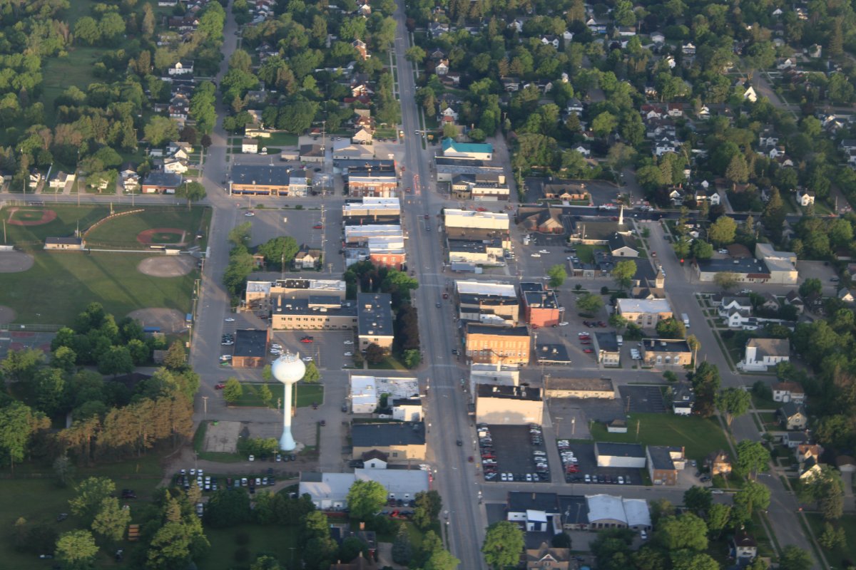
| Downtown Bad Axe, Michigan. |
| |
 |
|
|
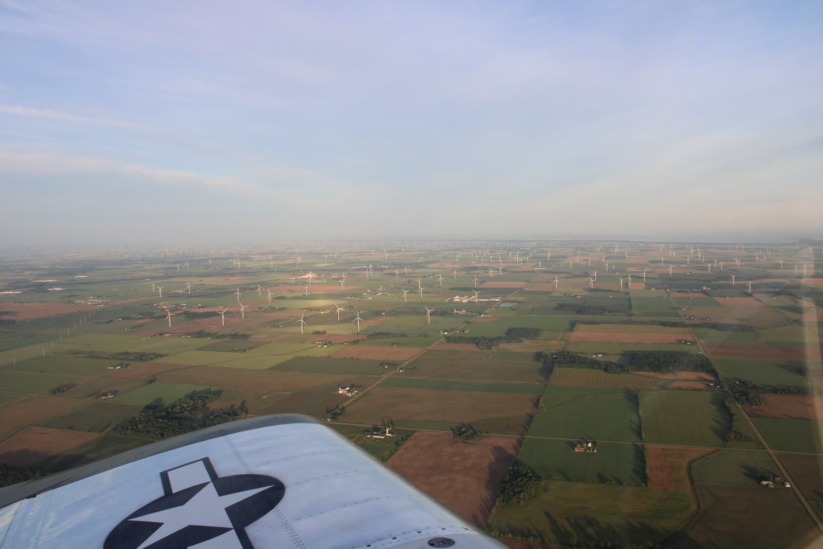
Heading northwest across Michigan's thumb. Lots of windmills, as you can see.
|
| |
 |
|
| I crossed the mouth of Saginaw Bay and am about to turn north up Michigan's eastern shore along Lake Huron. Michigan is very wooded this far north. |
| |
 |
|
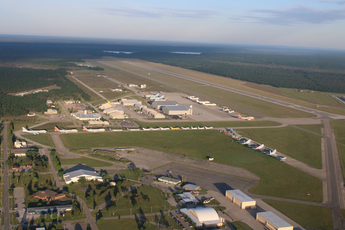
| I flew by Oscoda-Wurtsmith Airportand was amazed to see all these 747s parked in the morning sun. |
| |
 |
|
| Because Oscoda was formerly Wurtsmith Air Force Base, it has a 11,800 foot runway! These 747s are owned by Kalitta Air which uses them for charter cargo services. Oscoda is one of the main bases for Kalitta Air and this is where they perform maintenance on their fleet of Boeing 747s and 767s, and where many of their retired aircraft are parked awaiting their fate. |
| |
 |
|
|
Continuing north up the coast.
|
| |
 |
|
| This early in the morning, the air was cool and calm. |
| |
 |
|
|
Did I mention there are a lot of trees in northern Michigan?
|
| |
 |
|
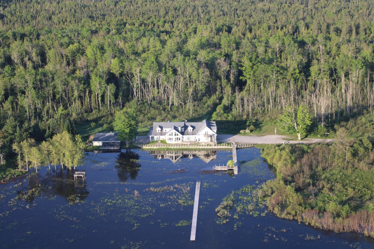
| A nice house all by itself in the forest at water's edge. |
| |
 |
|
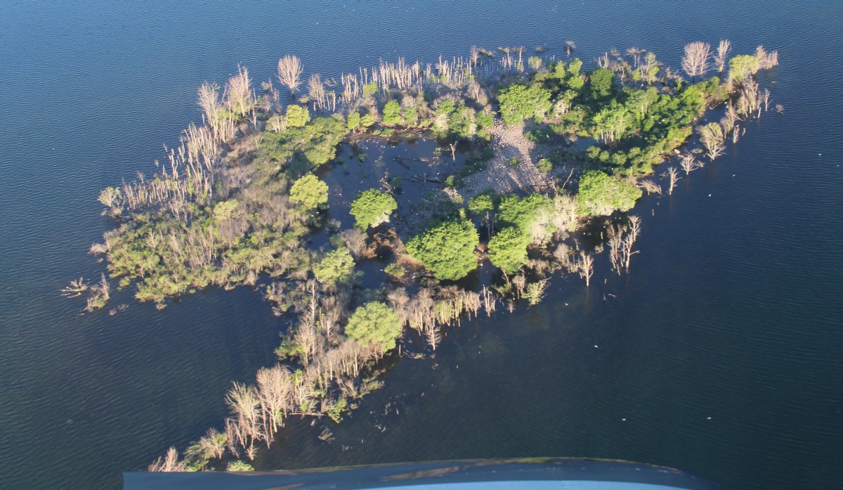
| Lake Huron must be high to cover this little island. |
| |
 |
|
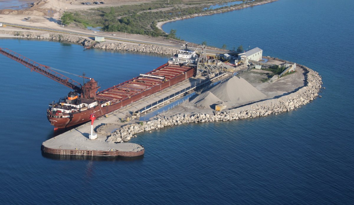
| Passing by Stoneport limestone quarry and port. |
| |
 |
|
|
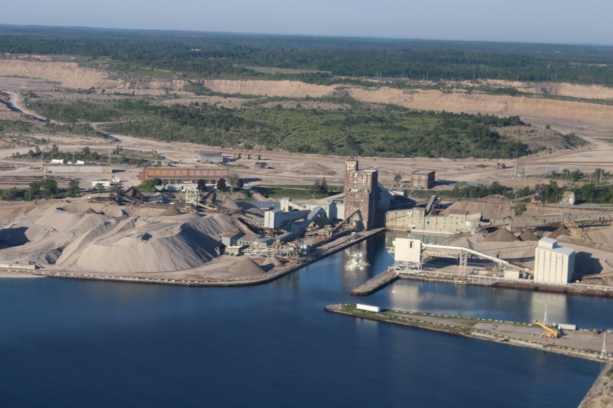
This ship is being loaded with limestone, a raw material essential in industry for making steel, chemicals, and concrete.
|
| |
 |
|
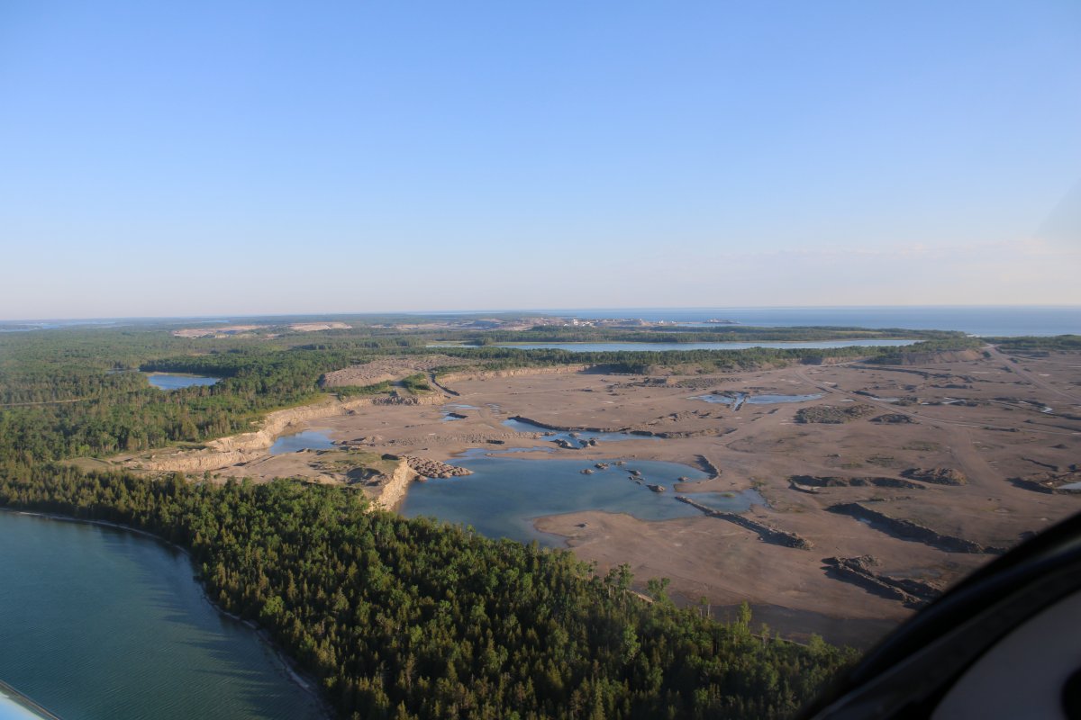
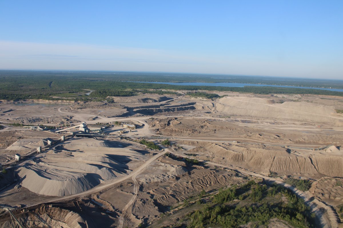
| Further down the coast I came across another huge industrial site operated by Michigan Limestone and Chemical Company. This is the world's largest limestone quarry. It's located near little Rogers City, Michigan. Around 1908, the geologist Henry H. Hindshaw established the commercial value of limestone in Northern Lower Michigan. Hindshaw determined the underground limestone deposit here was of especially high grade and purity. That and the availability of easy water transportation led to the development of the quarry and a port. Both quarry and port are named Calcite, after Calcite, the principal ingredient of limestone. |
| |
 |
|
|
Very convenient for ships to be able to pull right up to the site for loading.
|
| |
 |
|
| Now I'm heading west across the top of Michigan's mitten. |
| |
 |
|
| Passing by Cheyboygan. |
| |
 |
|
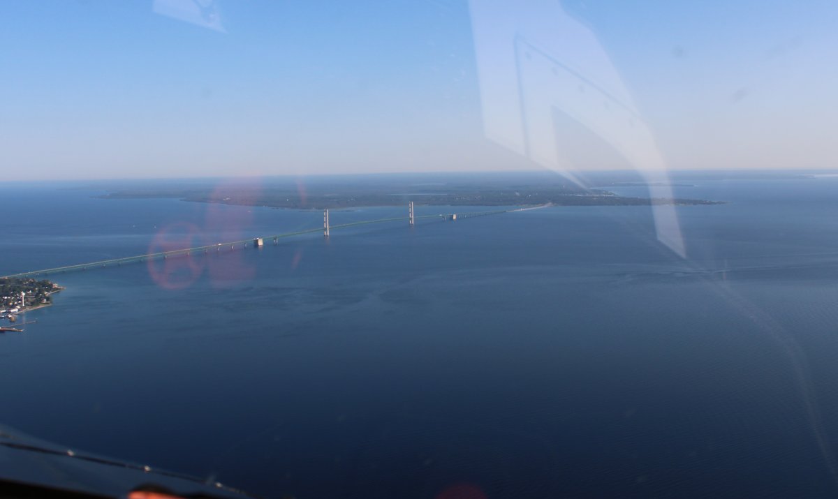
| And there it is! The famous Mackinac Bridge which connects Michigan's Upper and Lower Peninsulas. |
| |
 |
|
|
Opened in 1957 after many decades of struggles to begin construction, the five mile long bridge (familiarly known as "Big Mac" and "Mighty Mac") is the the longest suspension bridge between anchorages in the Western Hemisphere. It is also one of the world's longest bridges overall. Before the bridge, ferry boats were used.
|
| |
 |
|
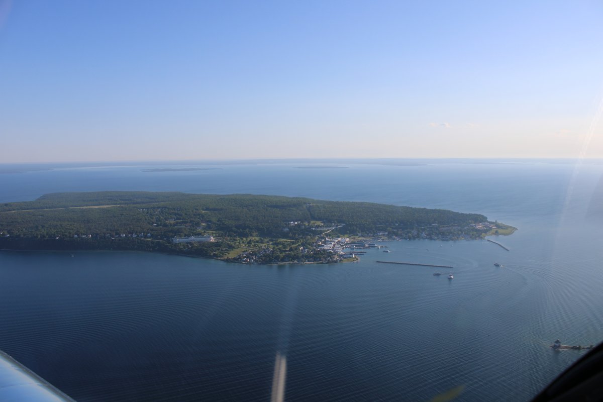
| The equally famous Mackinac Island. |
| |
 |
|
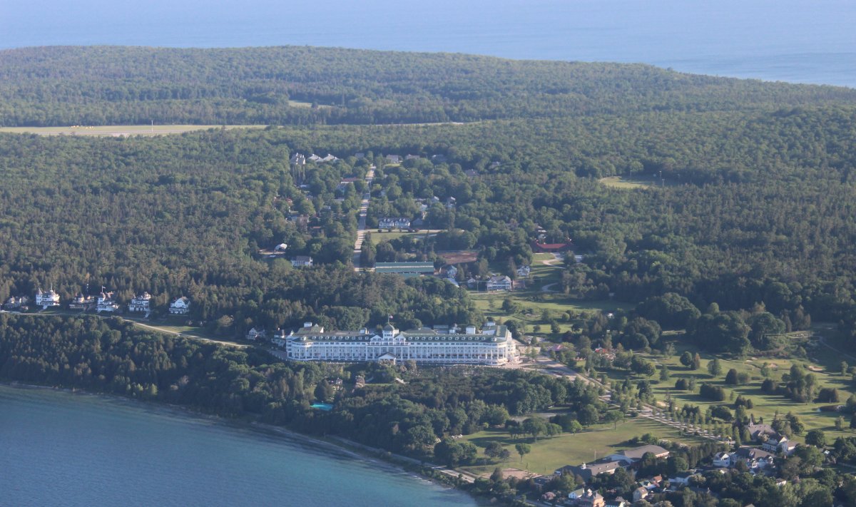
The famed Grand Hotel. Constructed in the late 19th century, the facility advertises itself as having the world's largest porch. The Grand Hotel is well known for a number of notable visitors, including five U.S. presidents, inventor Thomas Edison, and author Mark Twain. It is on numerous "best hotels in the world" lists. |
| |
 |
|
|
Checking out the little town from the air which apparently is a popular place to visit. We'll have to come here some day.
A unique local ordinance prohibits the use of any motor vehicles on the island. The most common means of travel are foot, bicycle, or horseback. Exceptions include emergency vehicles, electric wheelchairs for those with disabilities, snowmobiles in winter, and golf carts for on-course use only.
|
| |
 |
|
|
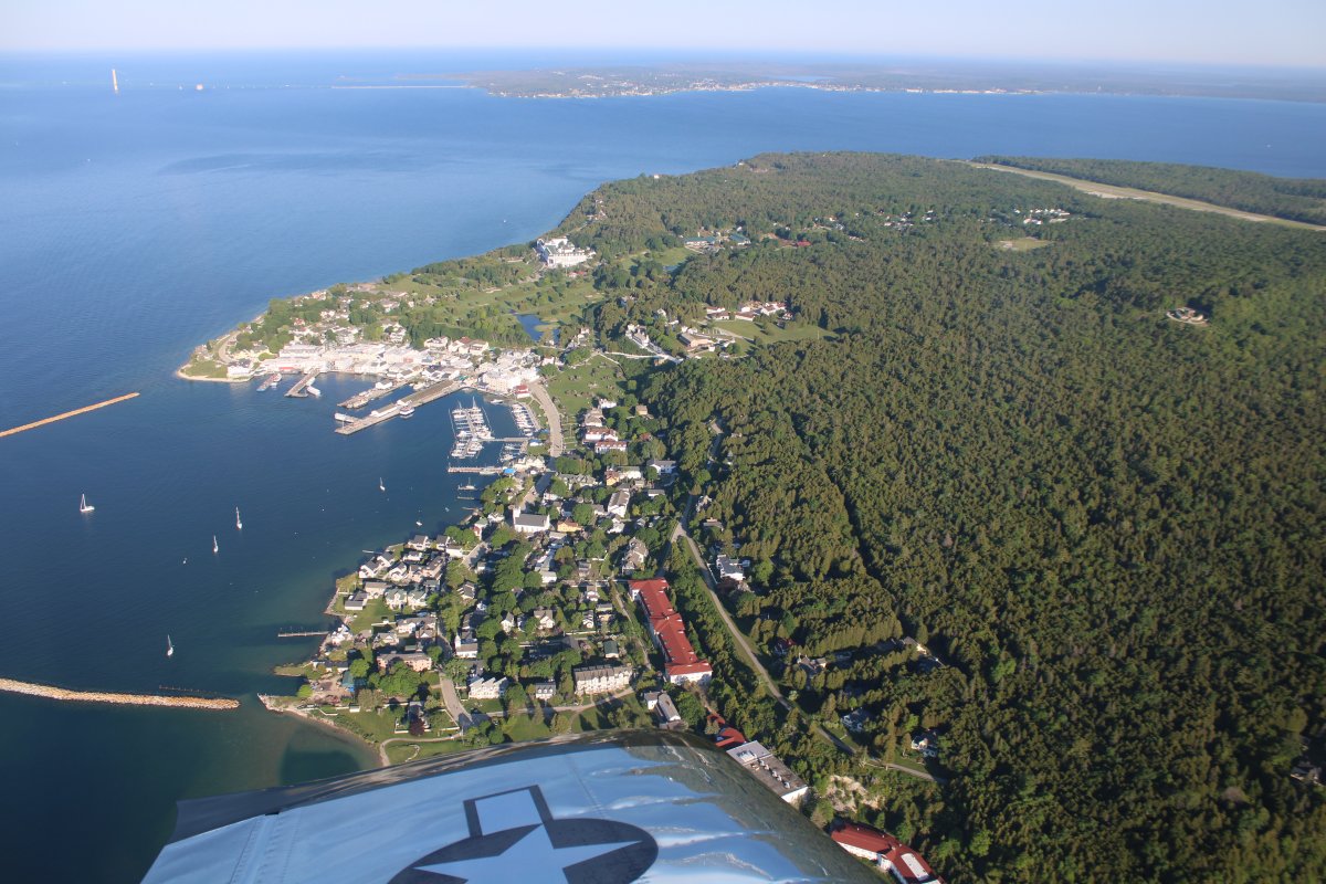
And Airplanes! As evidenced by this nice airport. There is no fuel or services and it's a 2 mile walk to town but you can call for a horsedrawn carriage!
|
| |
 |
|
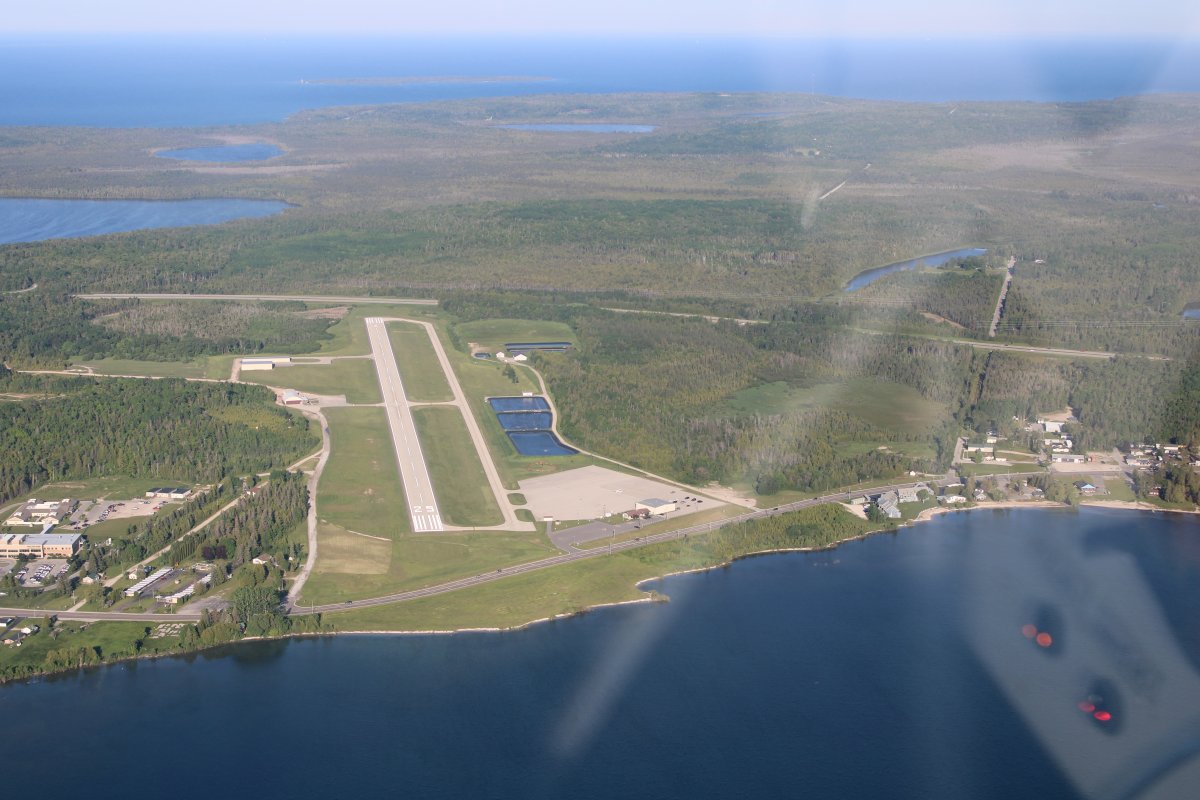
| Just west of the island on the Upper Michigan mainland is Mackinac County Airport. Based on this airport's good comments on AirNav, I had originally planned to stay overnight here last night. But I had greatly overestimated how far I could fly on my first day. |
| |
 |
|
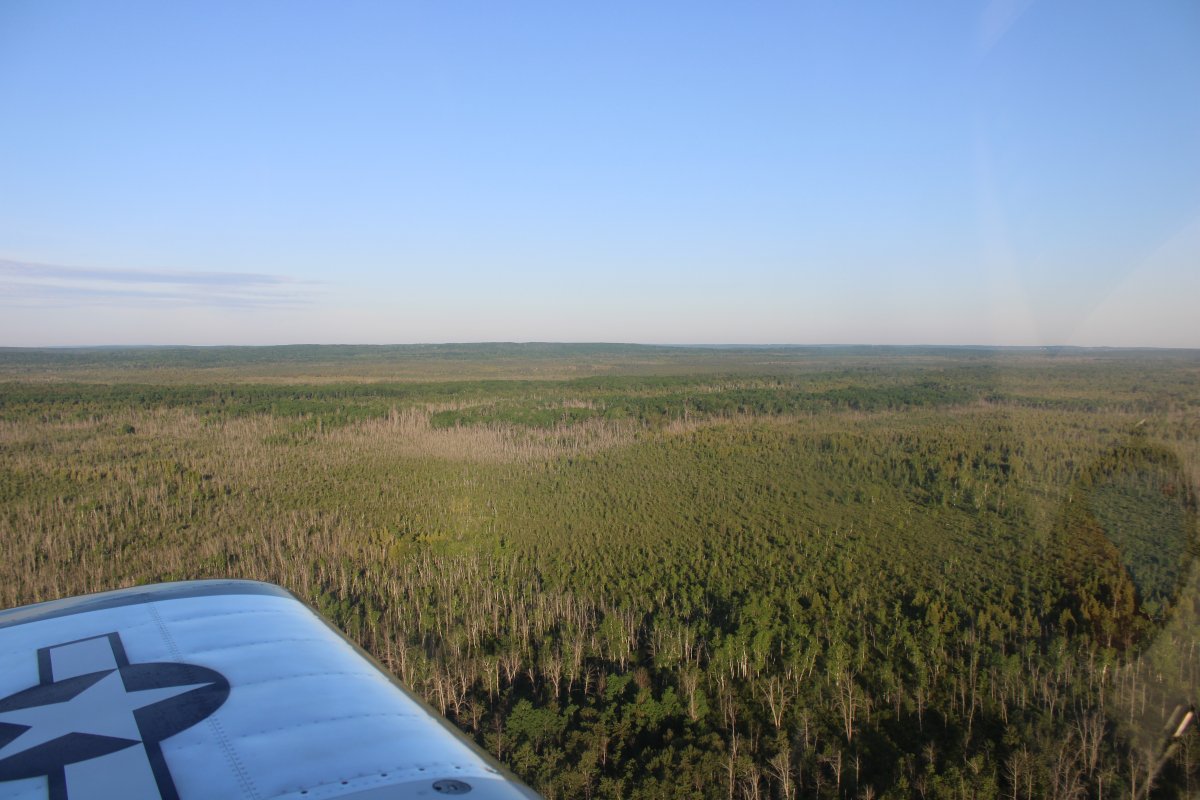
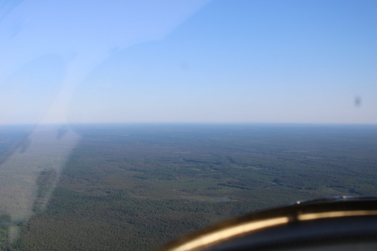
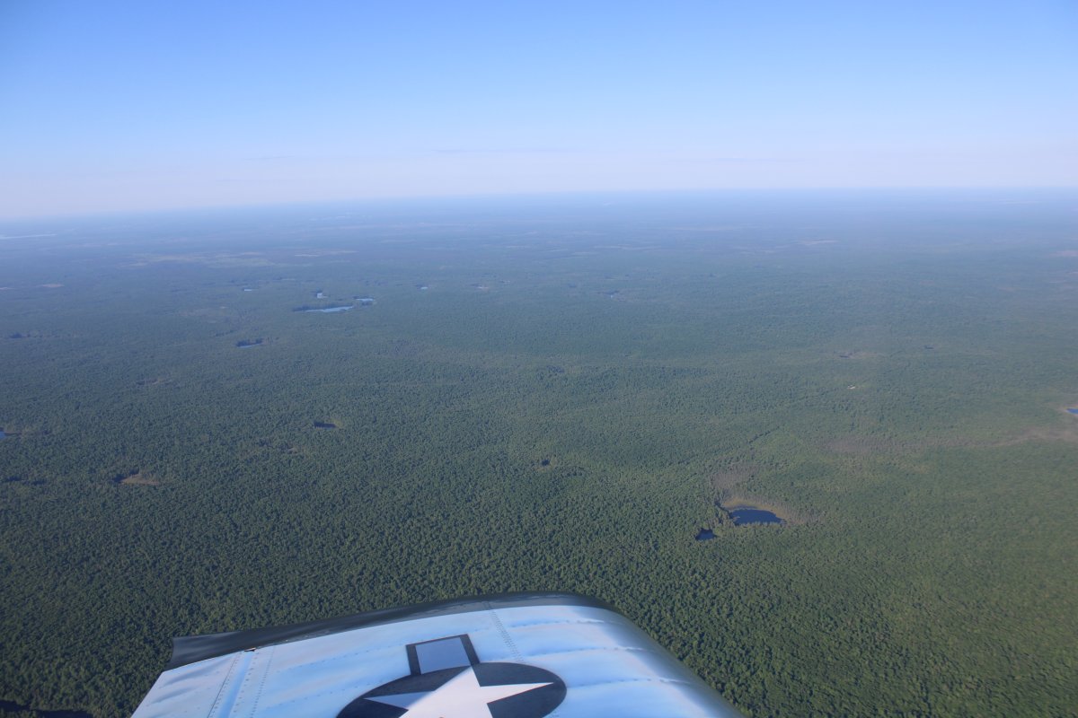
| Heading northwest across Michigan's Upper Peninsula, which is mostly a sea of trees. I climbed high to get across as fast as possible; not too many places for a forced landing as you can see. |
| |
 |
|
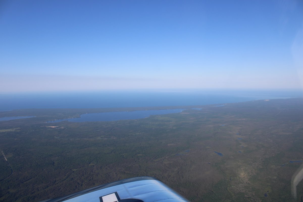
| Looking southwest at Lake Michigan. |
| |
 |
|
|
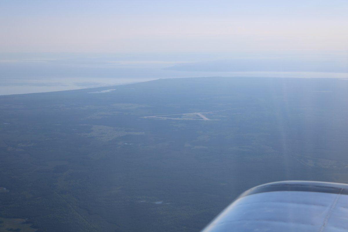
Looking northeast at a closed airport with Lake Superior coming into view on the top left.
|
| |
 |
|
|
I've seen areas with nothing but trees but this is ridiculous.
|
| |
 |
|
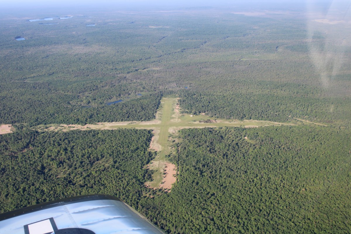
| This is Grand Marais Airport. Perpendicular turf runways, in "poor" condition, per AirNav. But out here in this sea of trees, Grand Marais Airport looks pretty darn good! |
| |
 |
|
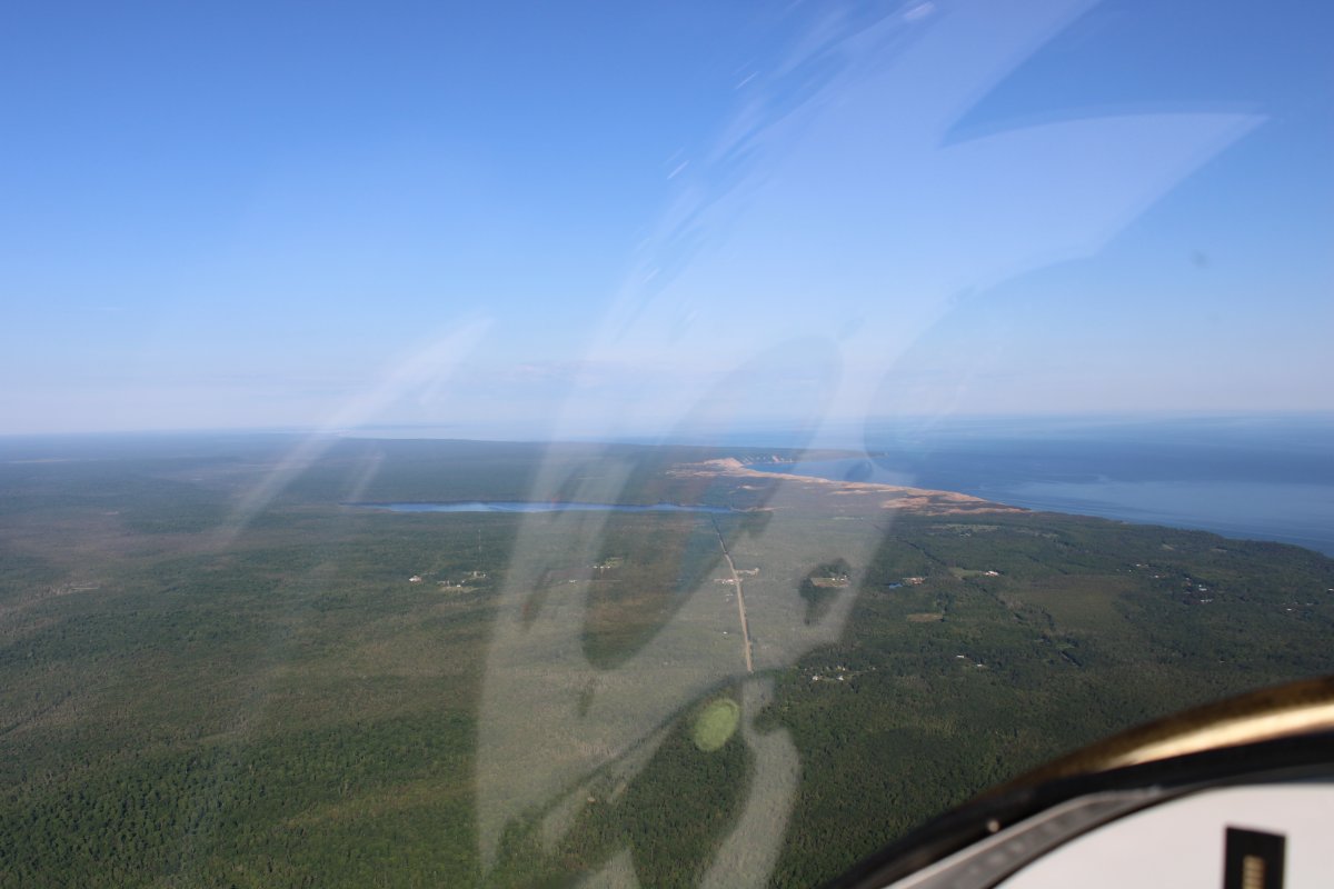
| I am angling towards the southern coast of Lake Superior. |
| |
 |
|
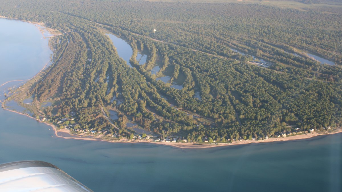
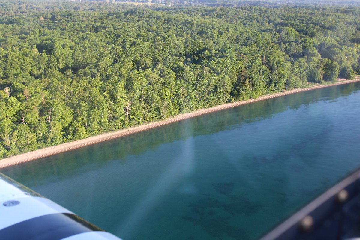
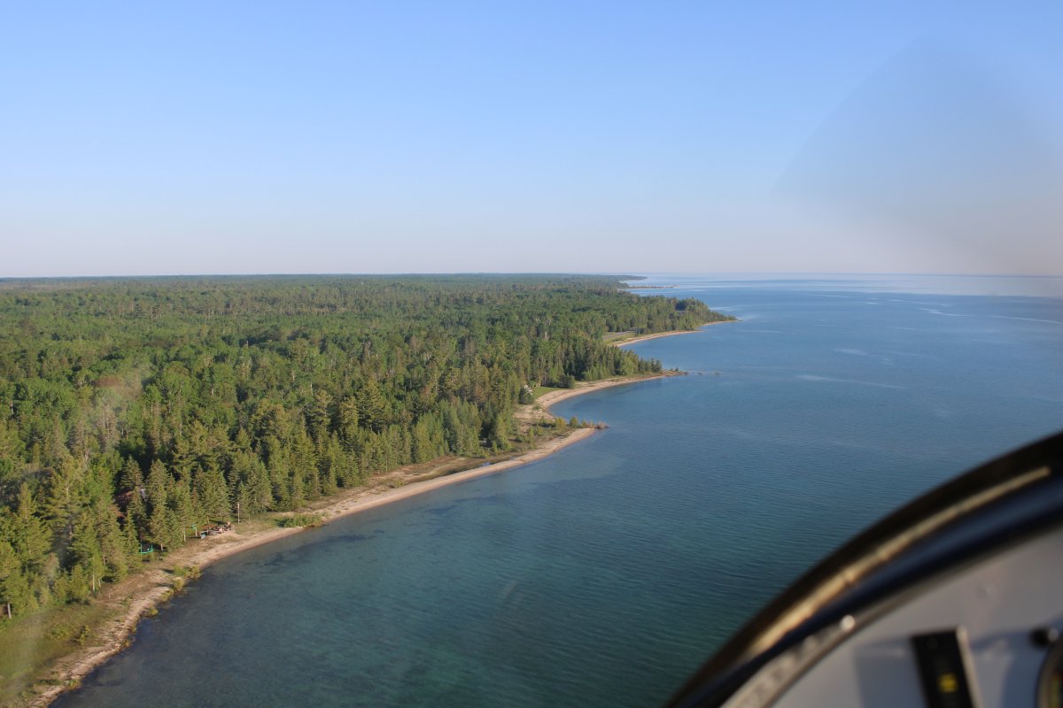
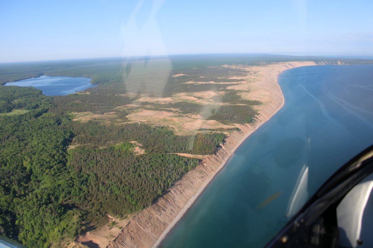
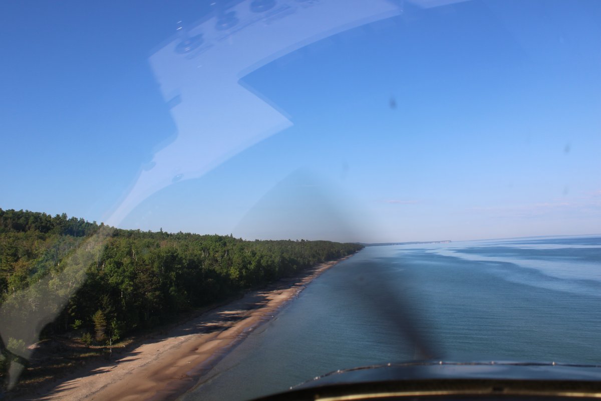
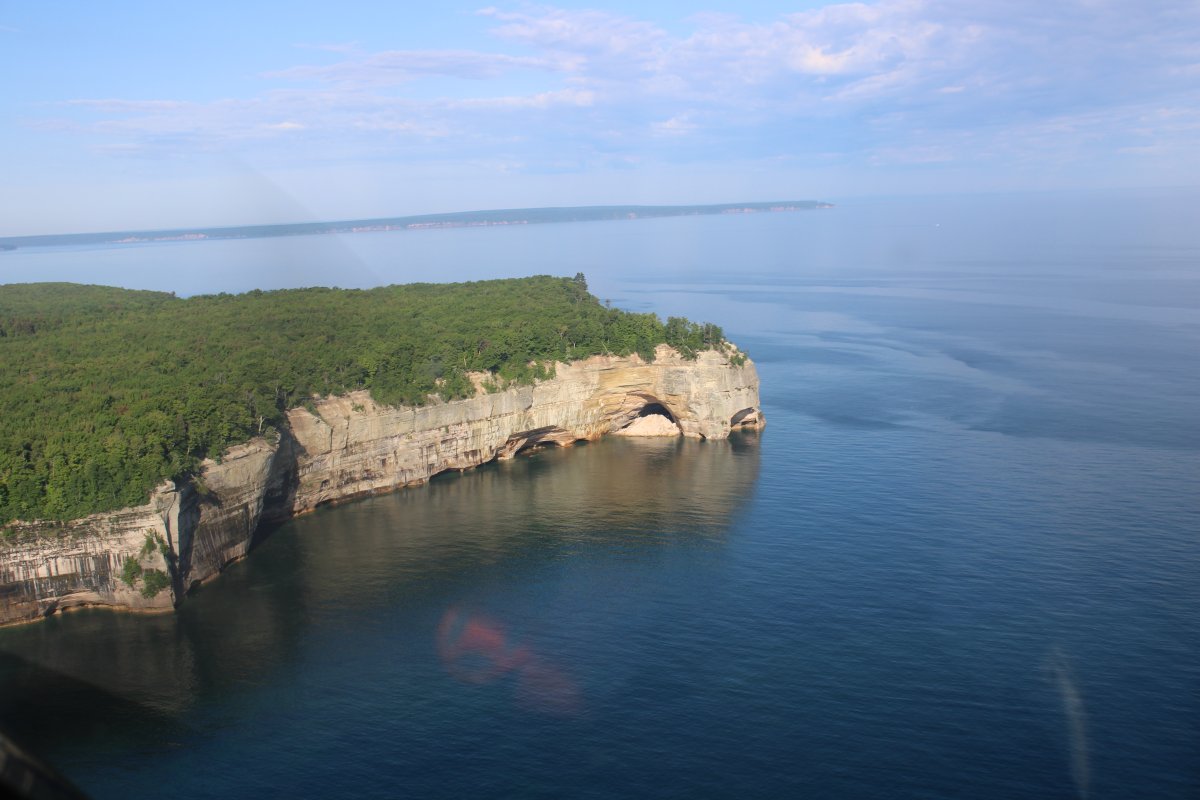
| Right away I could tell that Lake Superior's coast would be a lot more interesting than Lake Huron's. |
| |
 |
|
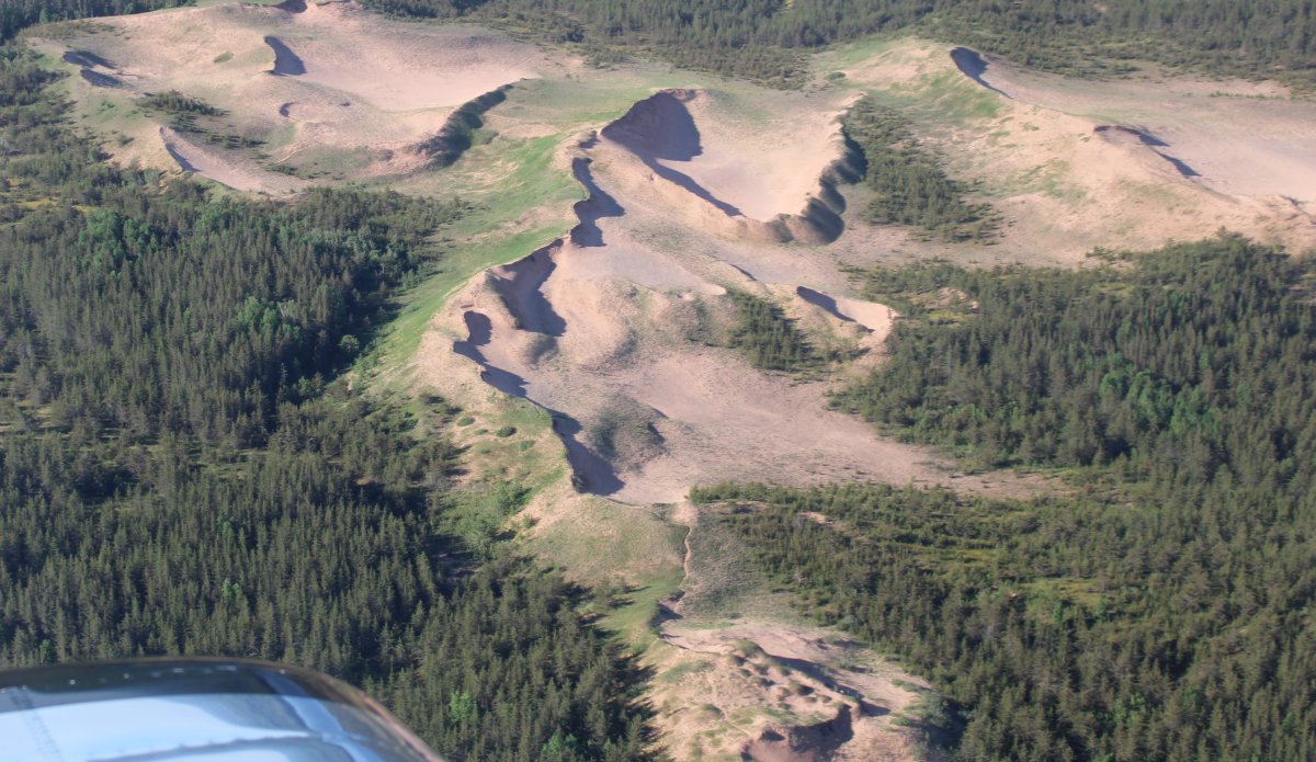
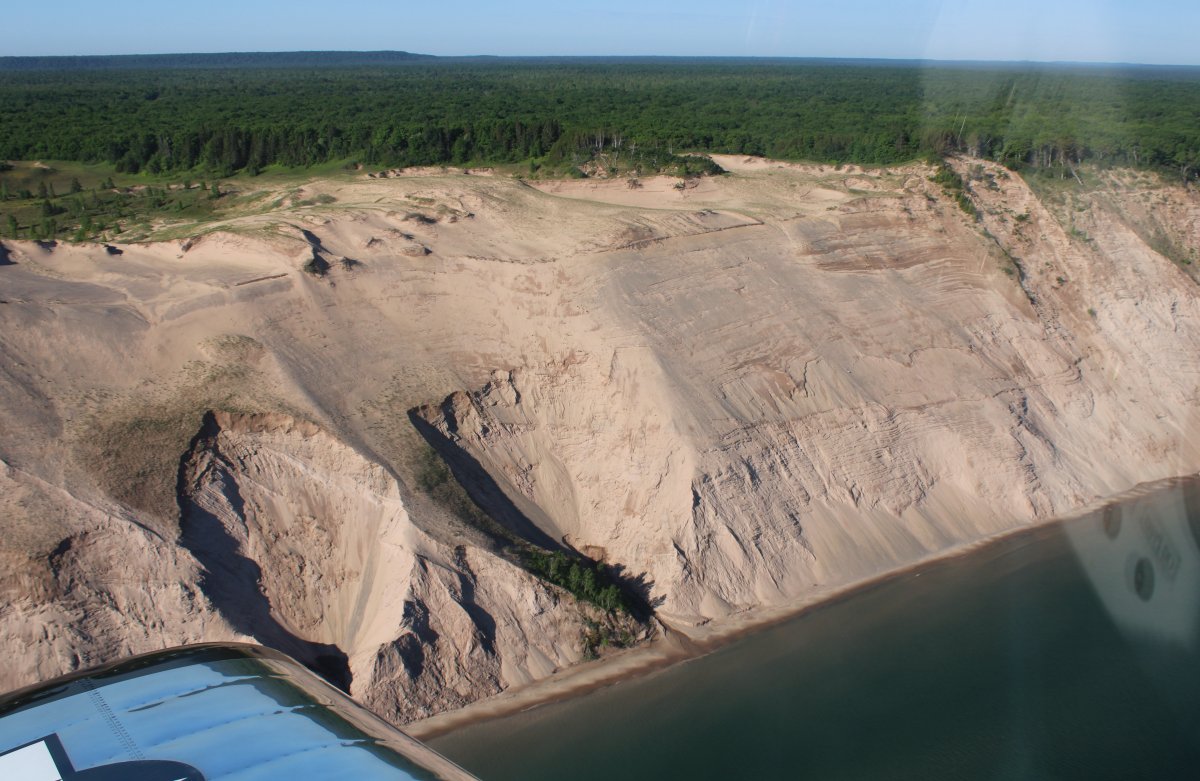
|
Nice dunes.
|
| |
 |
|
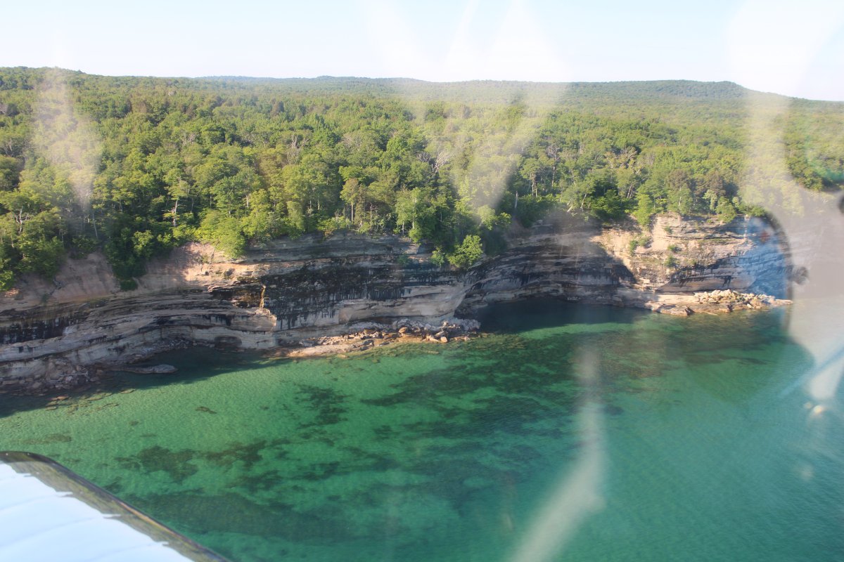
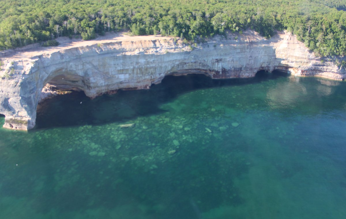
| Time to do some sightseeing! |
| |
 |
|
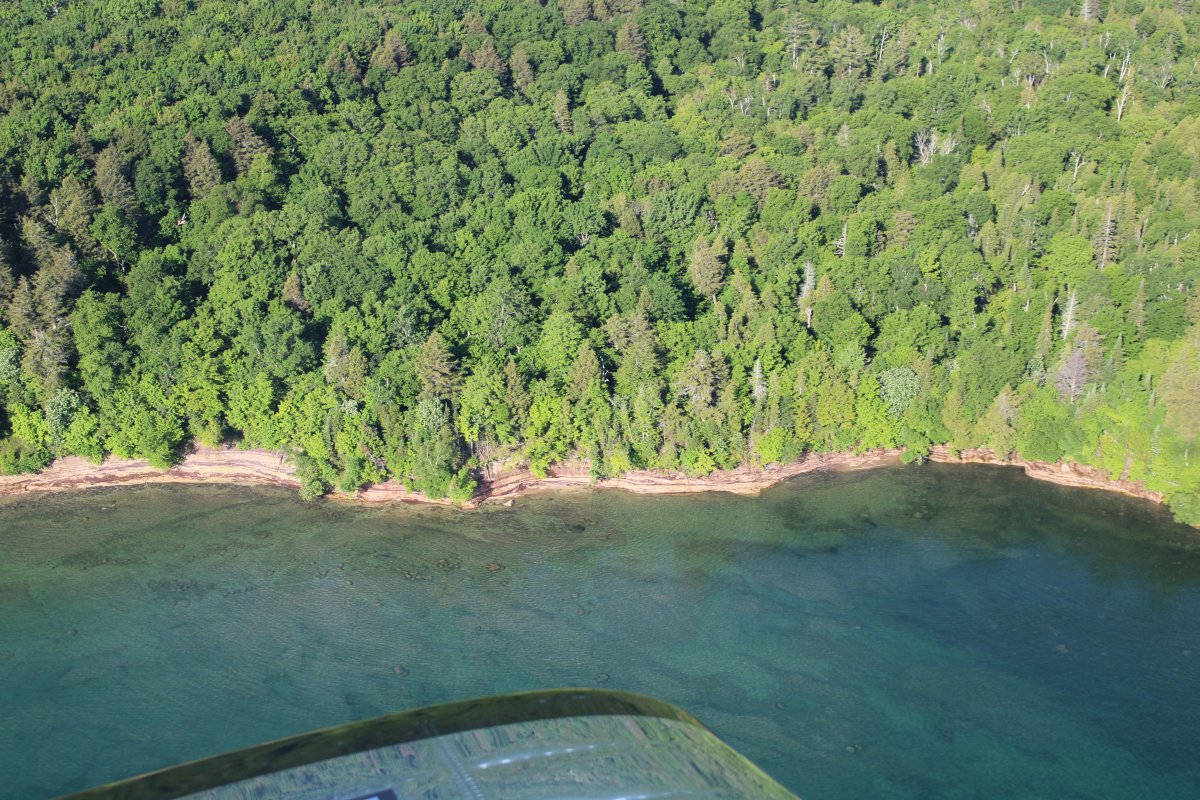
|
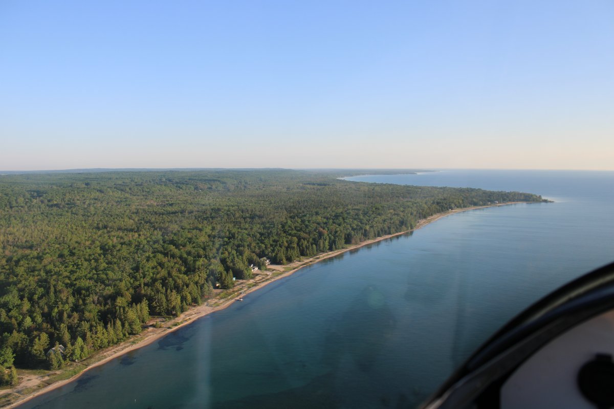
I was amazed at how clear and colorful the water was.
|
| |
 |
|
| Heading west. |
| |
 |
|
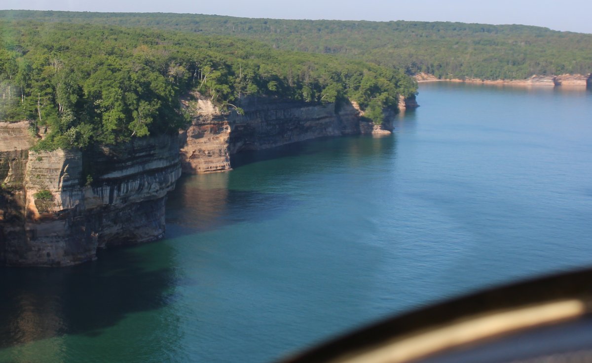
| If it weren't for all the trees, the water color would make me think I was flying in the Bahamas. |
| |
 |
|
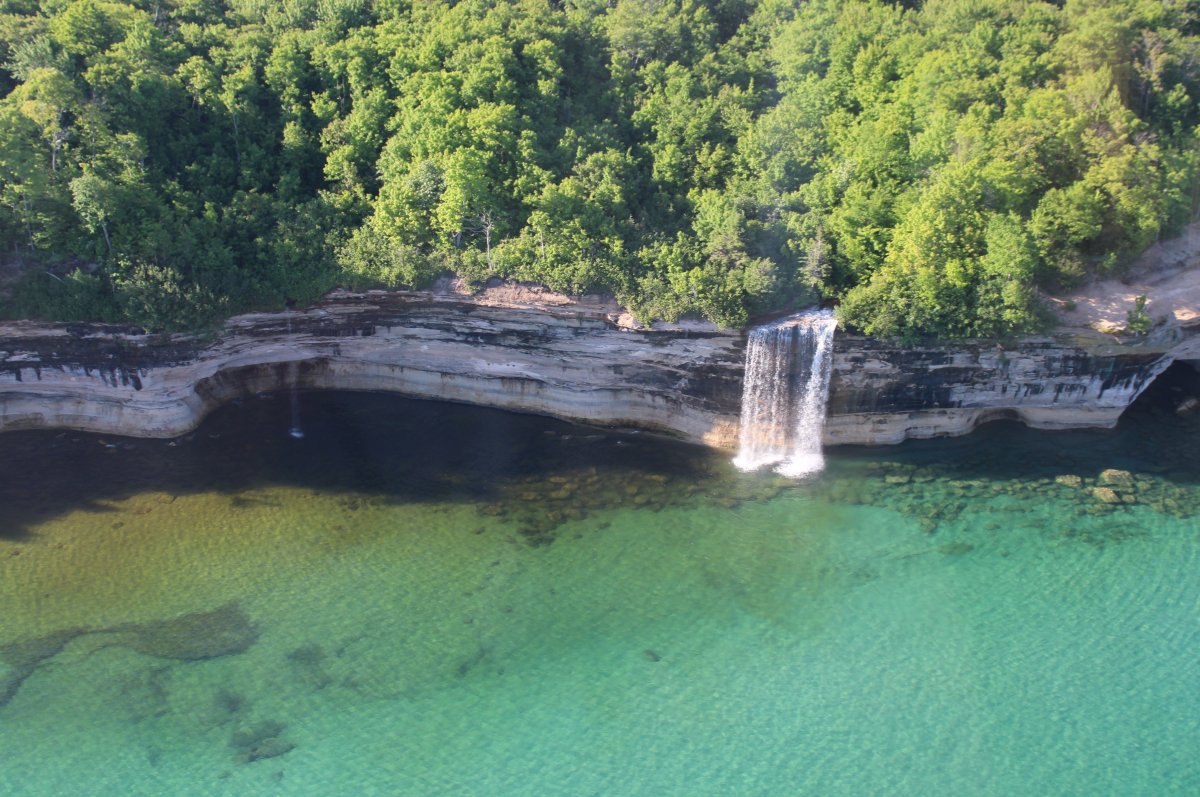
| Cool! Look at that waterfall! |
| |
 |
|
|
|
| |
 |
|
| |
| |
 |
|
| |
| |
 |
|
|
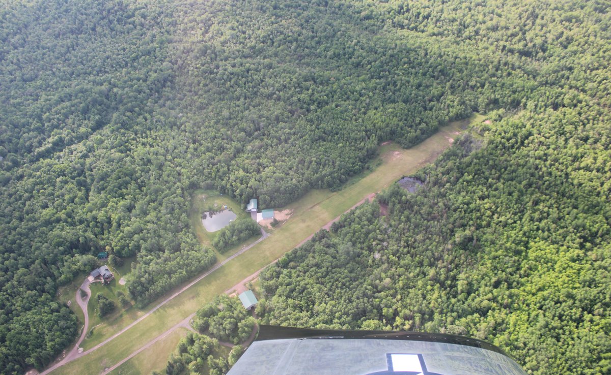
Passing over a little airport community?
|
| |
 |
|
| |
| |
|
|
|
|
|
|