Day 14 - Port Aransas, TX to Bay Minette, Alabama
|
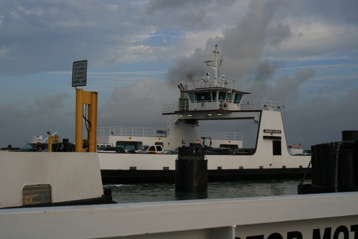
| The next morning I caught the ferry that runs from Port Aransas to the mainland. I was surprised at how big the operation was. There have a bunch of ferries that continually go back and forth. The ferry is free of charge, too, which amazed me. Then, the ferry ride took all of five minutes. |
| |
 |
|
|
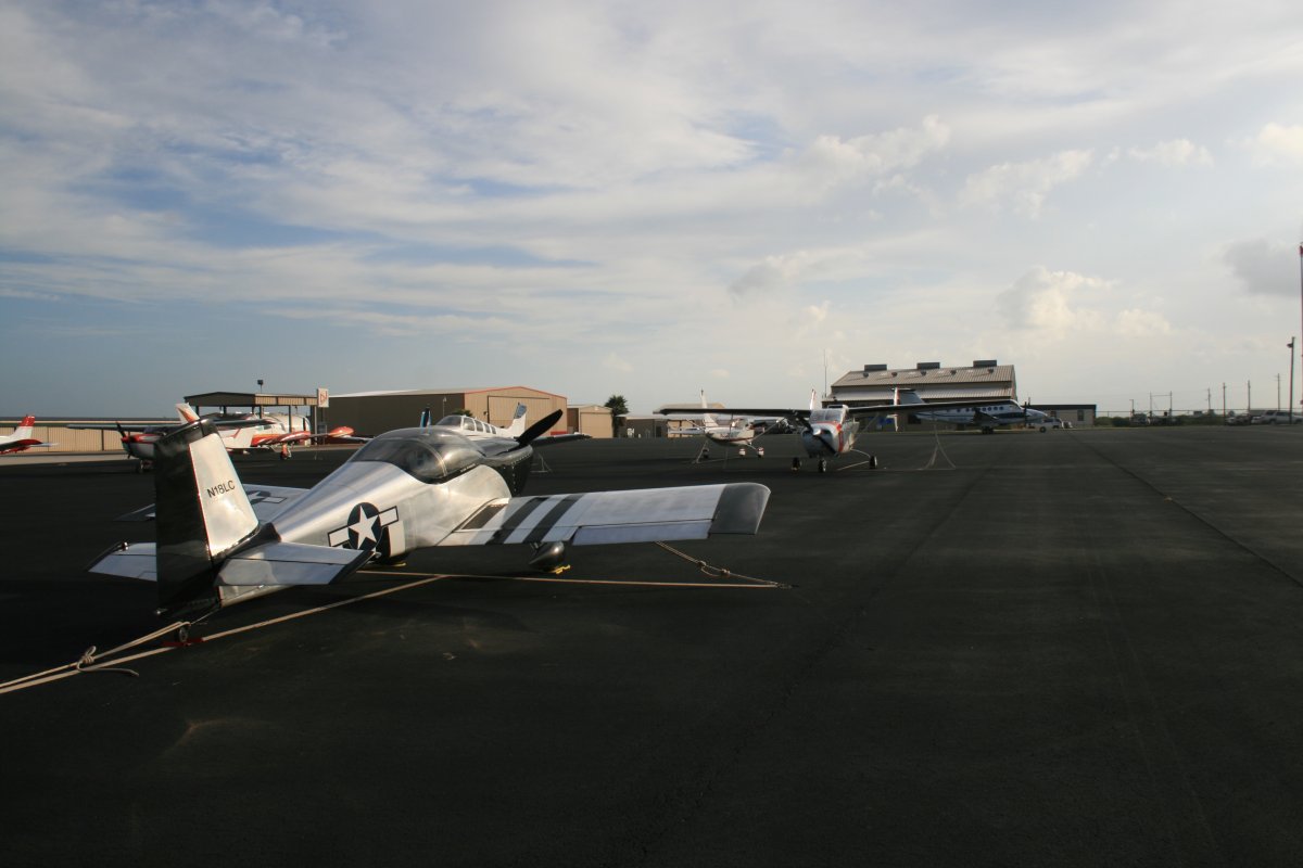
Back at McCampbell. The FBO attendant was very helpful and friendly, both when I arrived and departed. The avgas price was low as well.
|
| |
 |
|
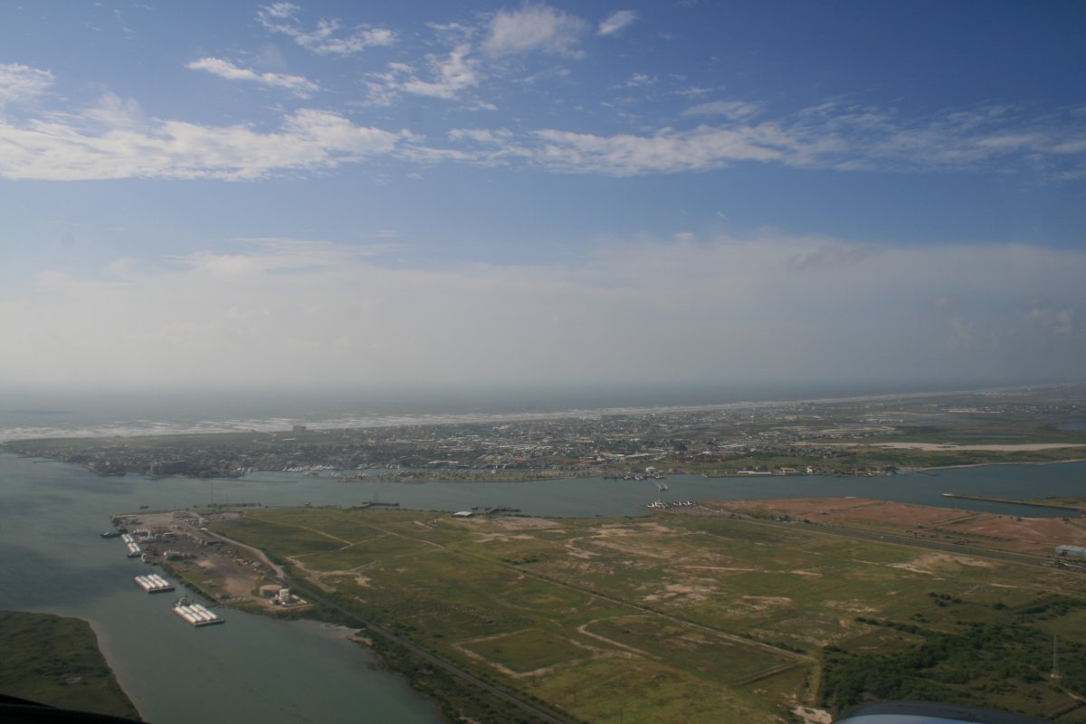
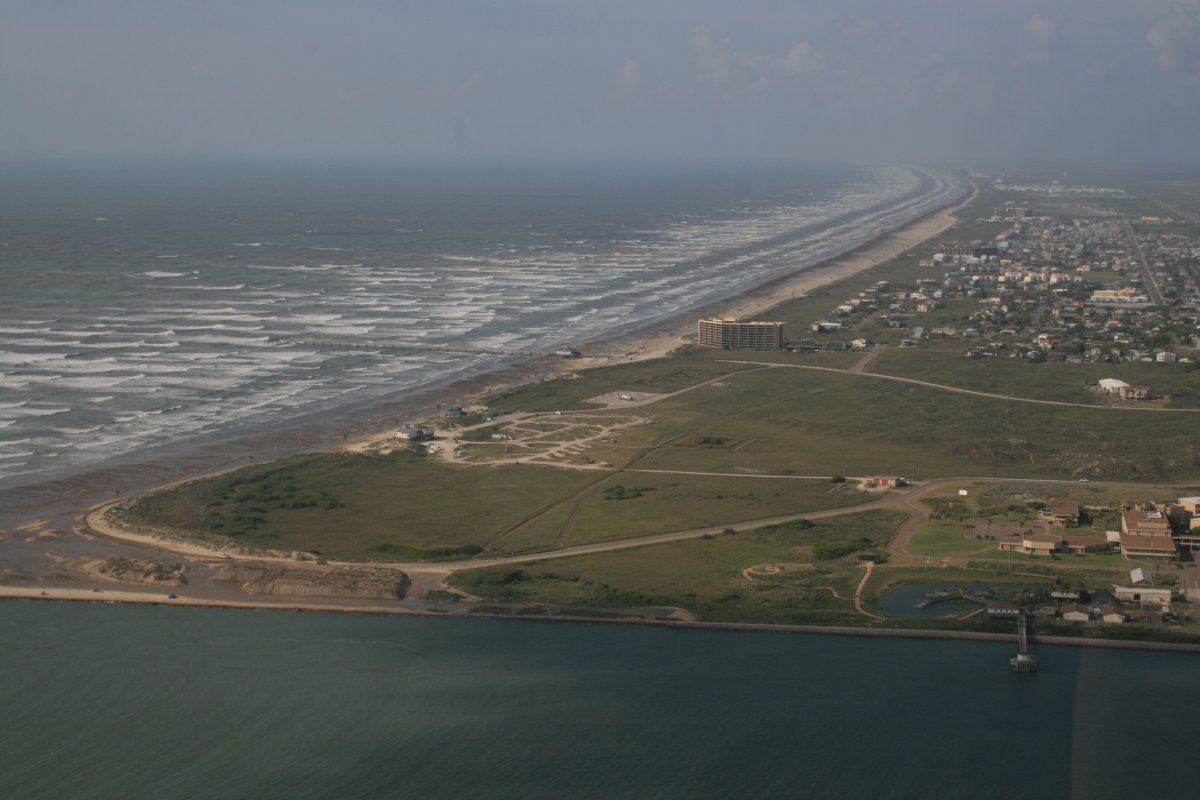
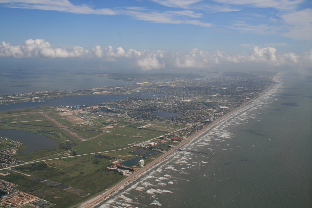
| Airborne once again, I headed south to see Port Aransas from the air. Here I'm approaching the island. |
| |
 |
|
|
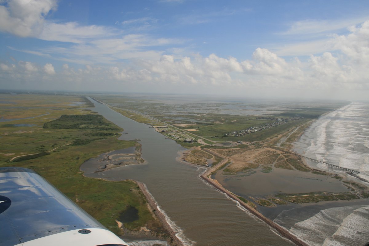
The ferry operation from the air. You can see how short a distance it is.
|
| |
 |
|
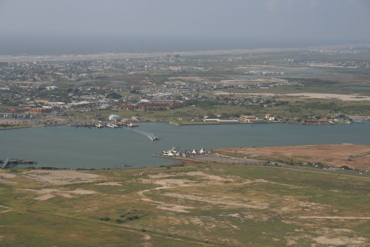
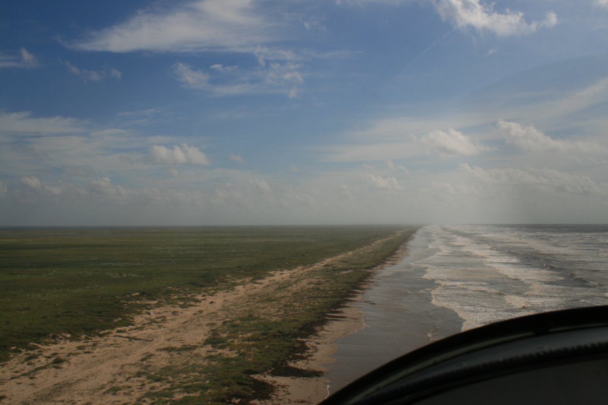
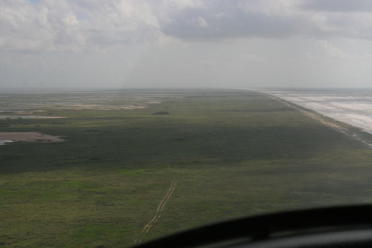
| Looking south down the beach. |
| |
 |
|
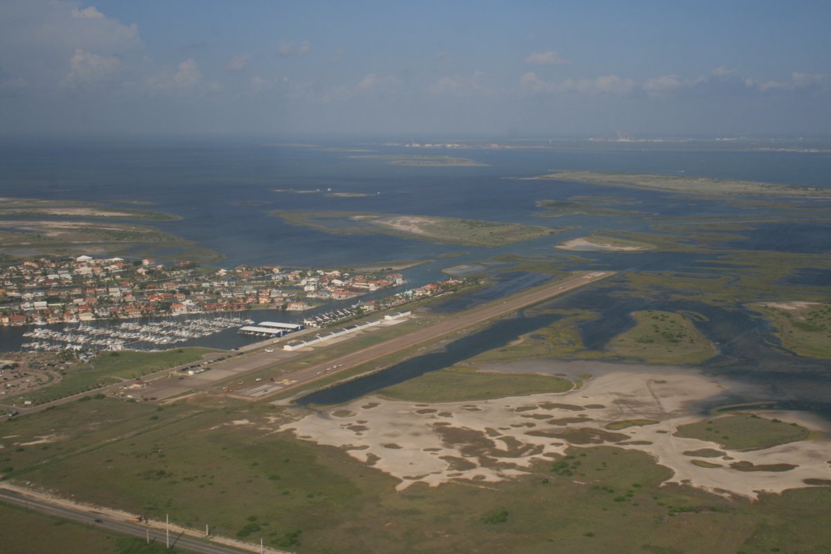
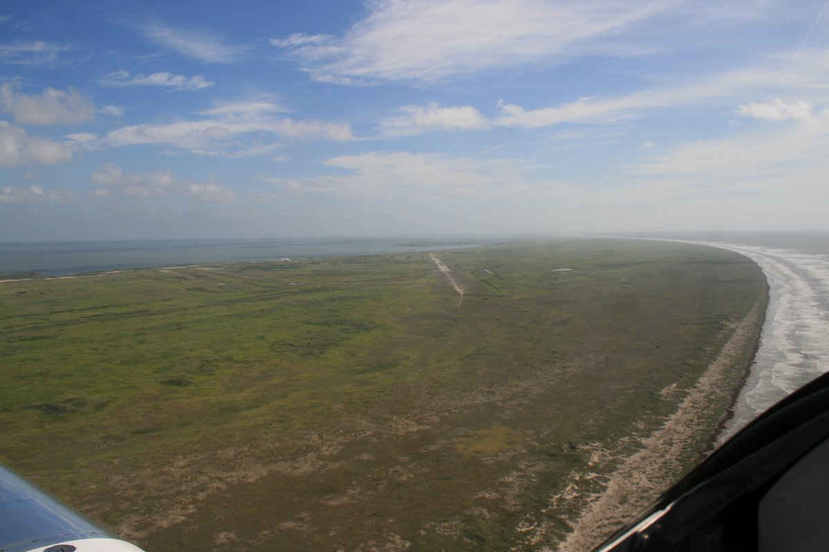
| Mustang Beach airport. |
| |
 |
|
| Then I was on my way again, following the Gulf Coast which started curving to the northeast. |
| |
 |
|
|
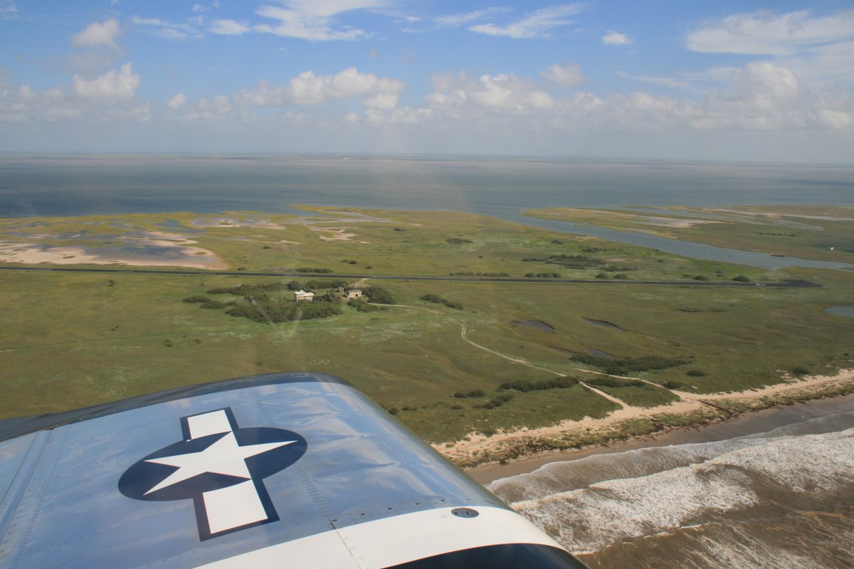
Passing by a very nice private airstrip on San Jose Island.
|
| |
 |
|
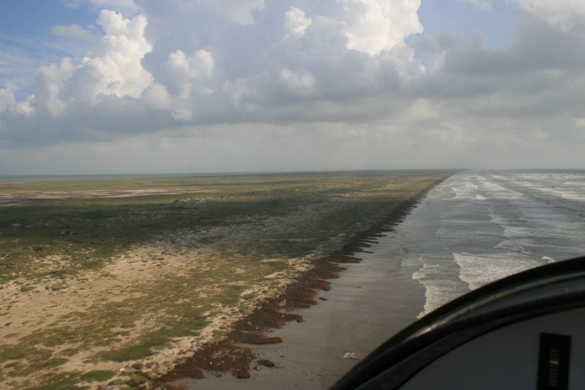
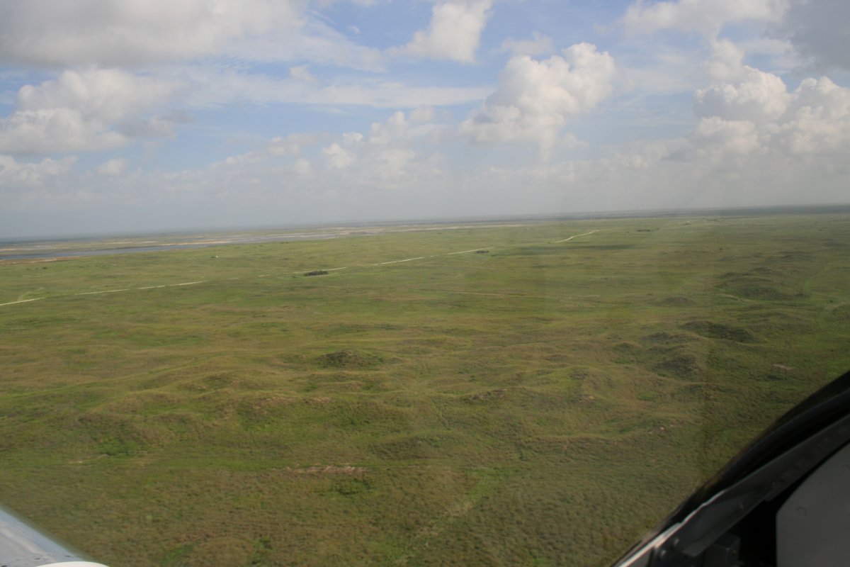
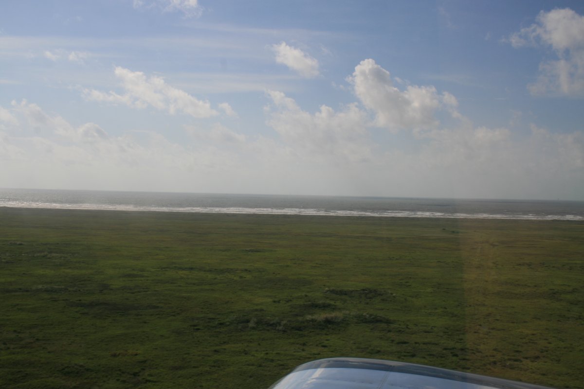
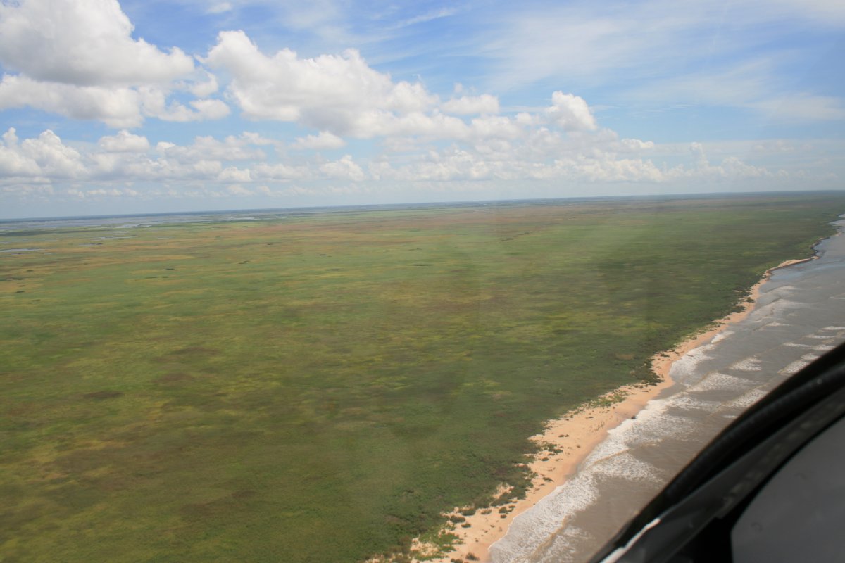
| Inland from the beach was wide, empty grasslands. |
| |
 |
|
|
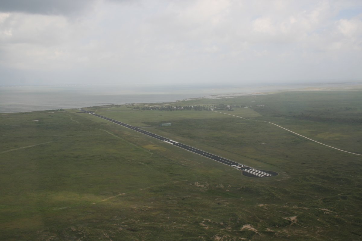
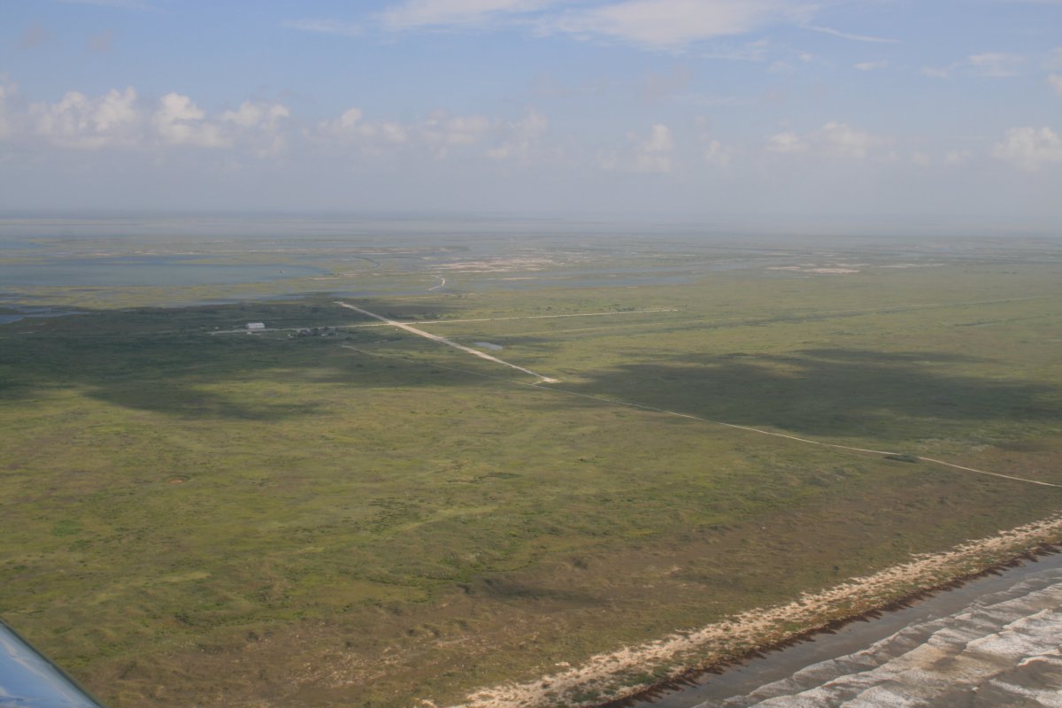
A dirt-strip no longer in operation. Or maybe it is, who knows?
|
| |
 |
|
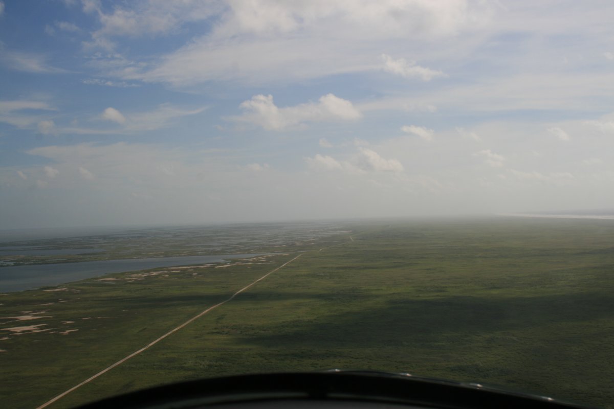
| I just continued down the coast. |
| |
 |
|
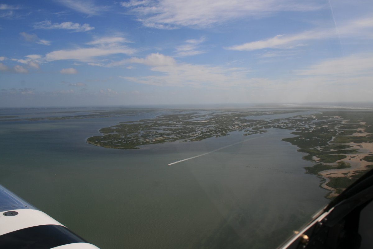
| Believe it or not, the area to the left used to be the Matagordo Island Air Force Base. It was inactivated in 1975. Other than the main runway, you can hardly tell anything was ever here. |
| |
 |
|
| A boat has the Matagordo Bay to himself. |
| |
 |
|
|
Continuing on.
|
| |
 |
|
| Looking off the right wing at the Gulf. |
| |
 |
|
| Wow, civilization. A couple of houses have the Gulf Coast to themselves. |
| |
 |
|
| The Colorado River -- I guess there are two of them? -- that leads to the small town of Matagordo and divides the Matagordo Bay. |
| |
 |
|
| |
| Continuing northeast. |
| |
 |
|
|
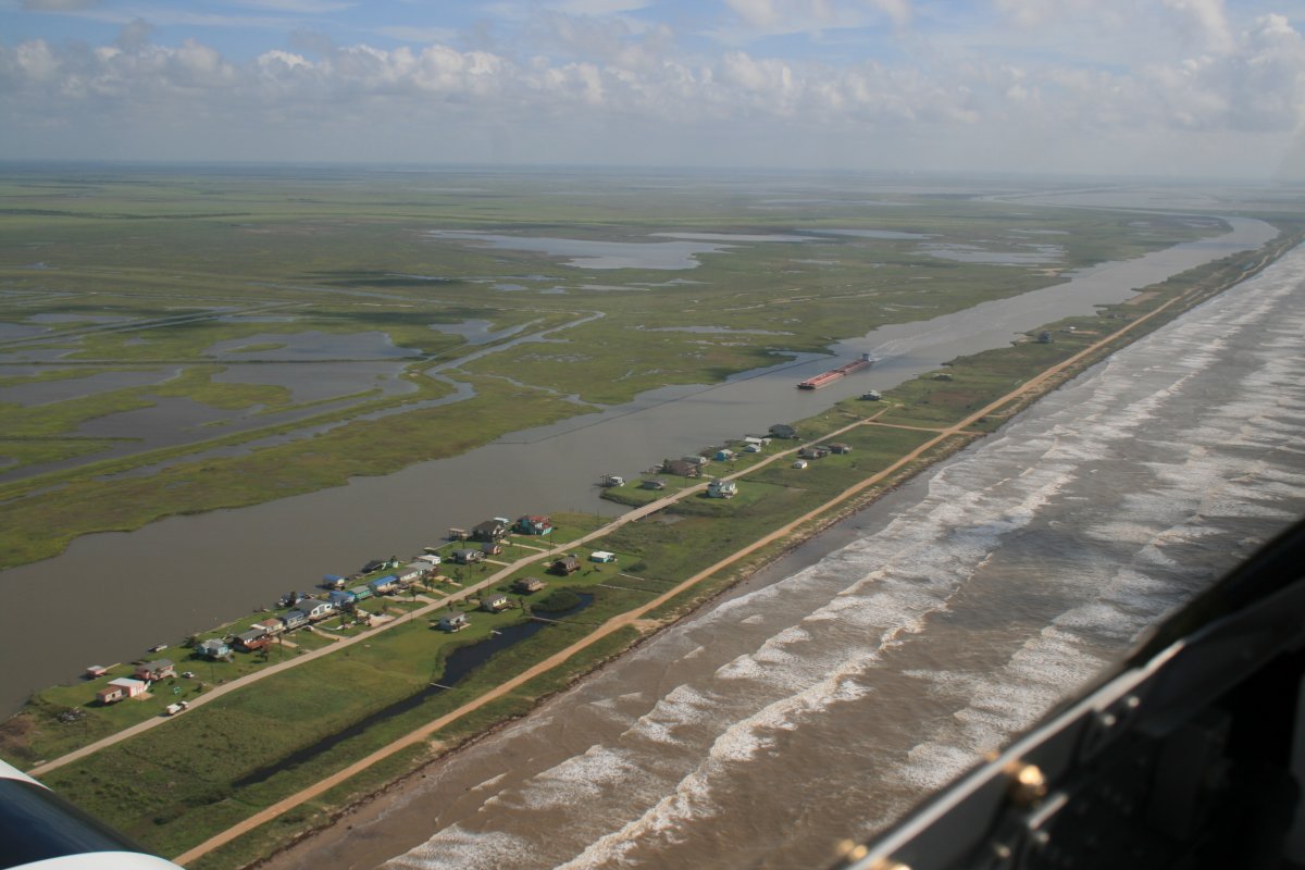
Starting to encounter some civilization as I approach the Houston area. Notice the inland waterway.
|
| |
 |
|
|
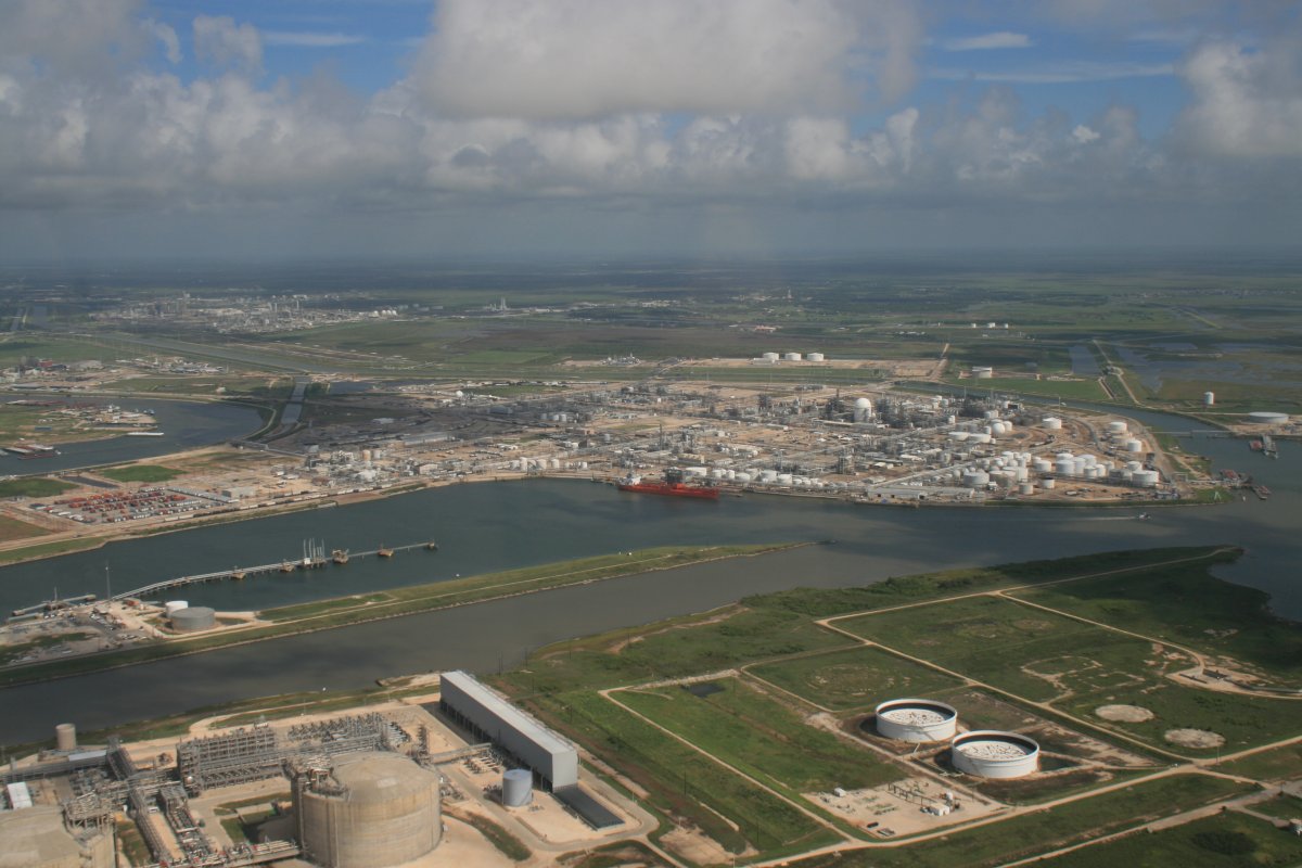
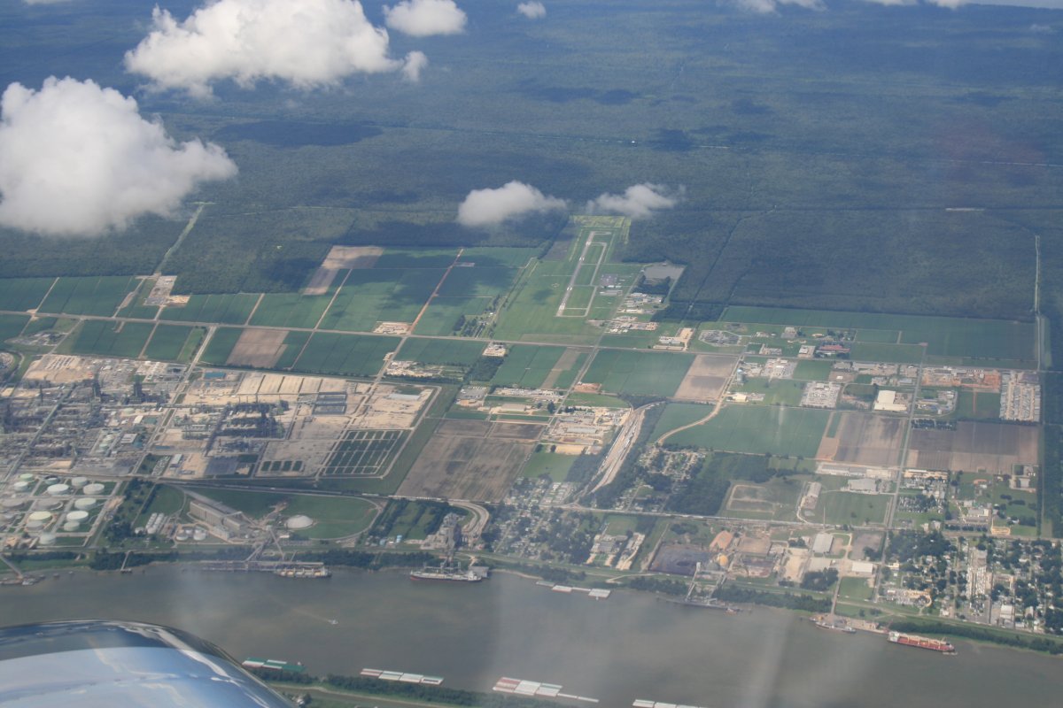
Passing by the a big Dow Chemical plant in Freeport, Texas.
|
| |
 |
|
| Passing by Galveston International Airport with the town up ahead. Houston is about 30 miles to the northwest. |
| |
 |
|
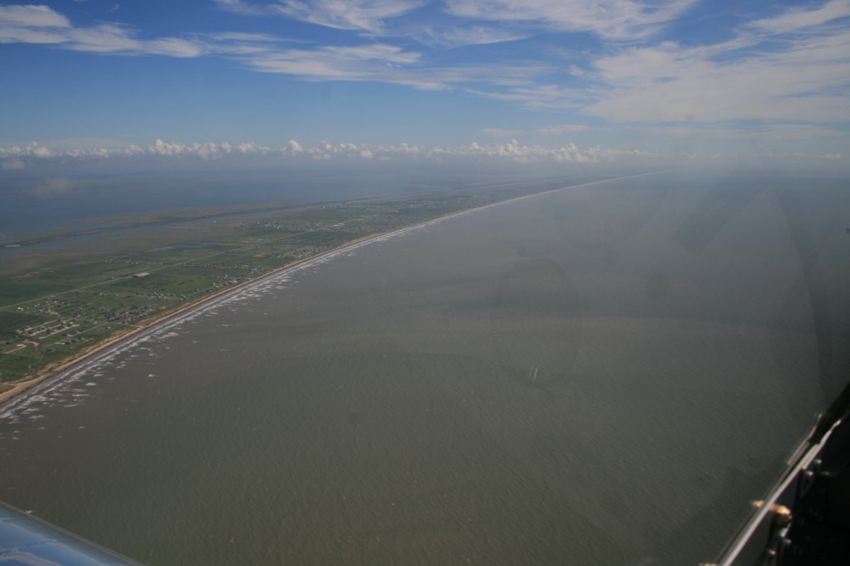
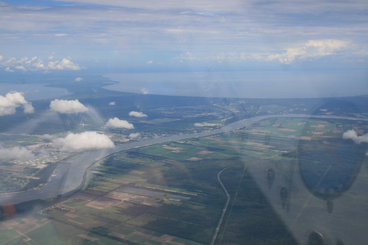
| You can really see the gradual turn of the coast in this picture. |
| |
 |
|
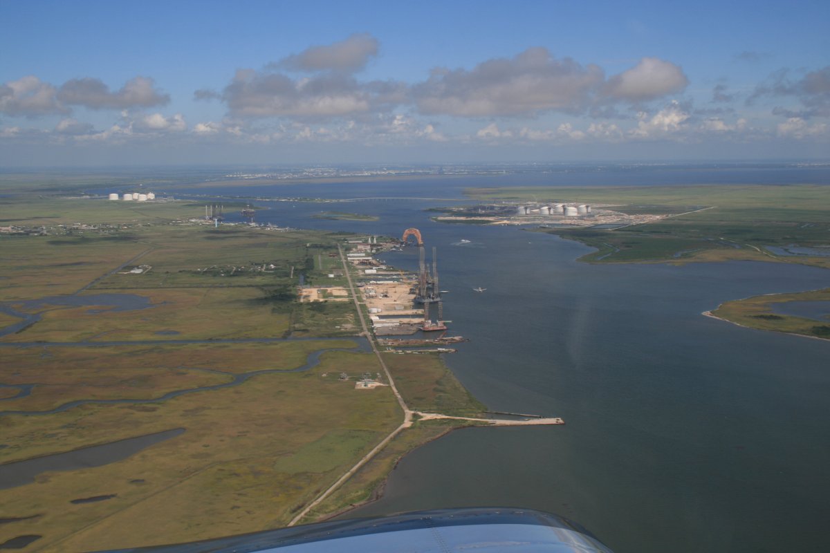
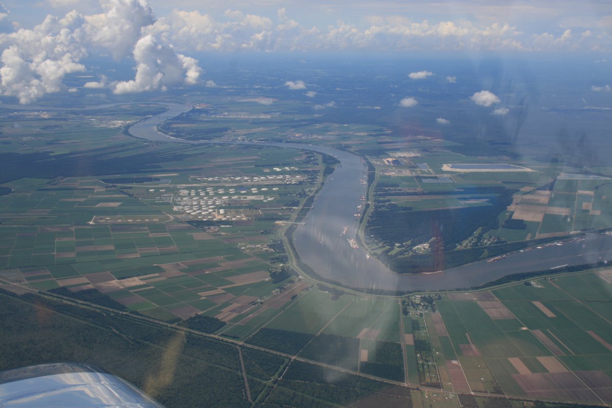
| This channel leading to Sabine Lake and Port Arthur marks the border between Texas and Louisiana. I realized I've been in Texas four days! It's a big state. |
| |
 |
|
|
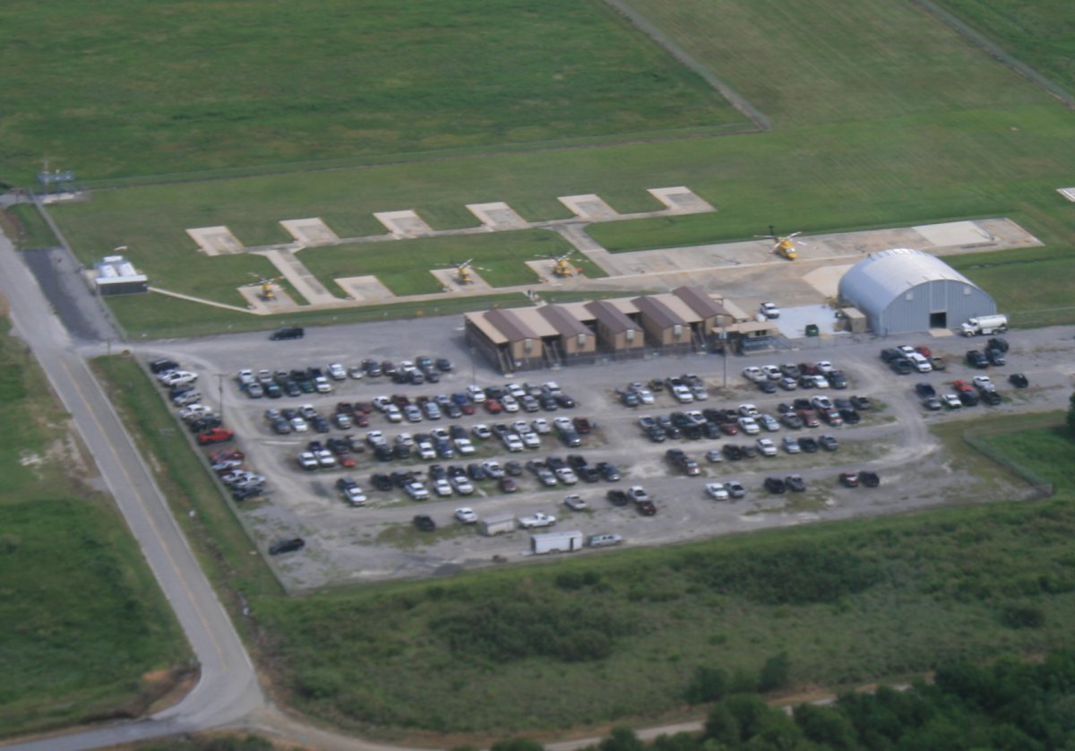
I was flying along -- the coast was running due east now -- when I noticed this heli-port down below. It occured to me to look out at the Gulf for helicopters.
|
| |
 |
|
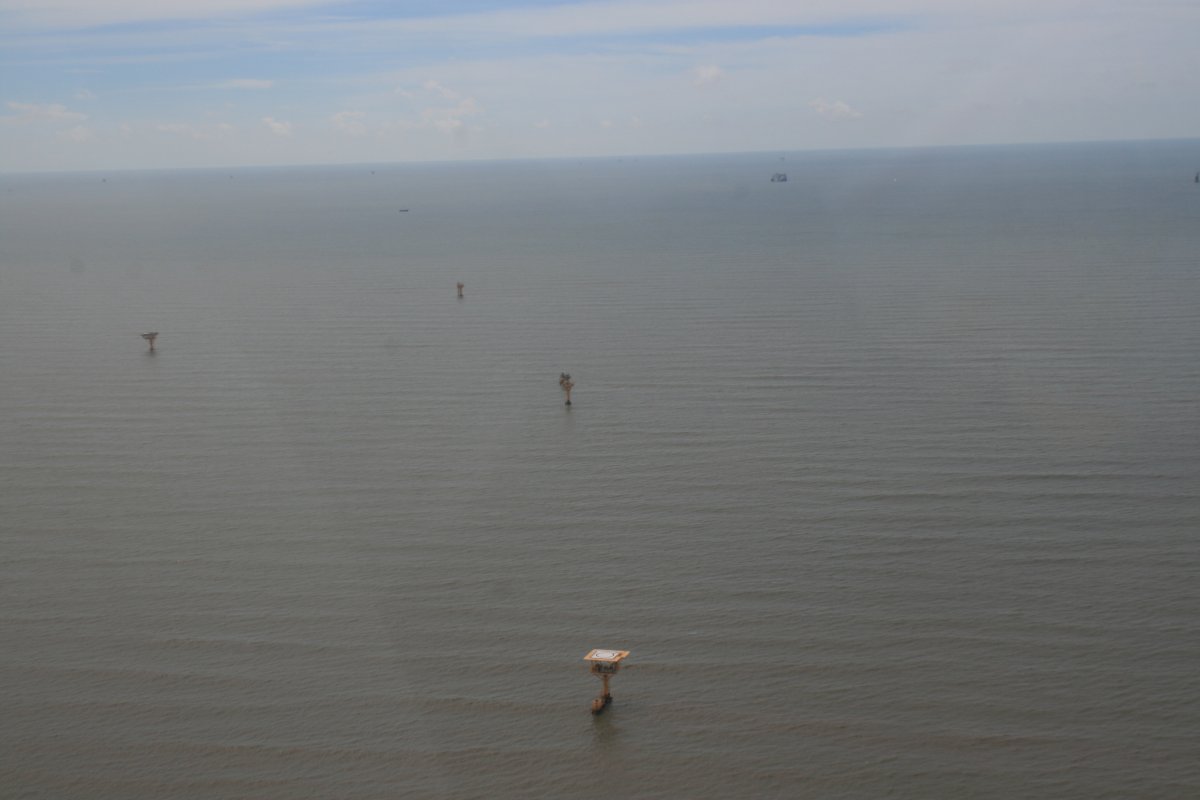
| And sure enough, there were all these oil rigs with heli-pads on them. I did see a couple of helicopters flying around. |
| |
 |
|
|
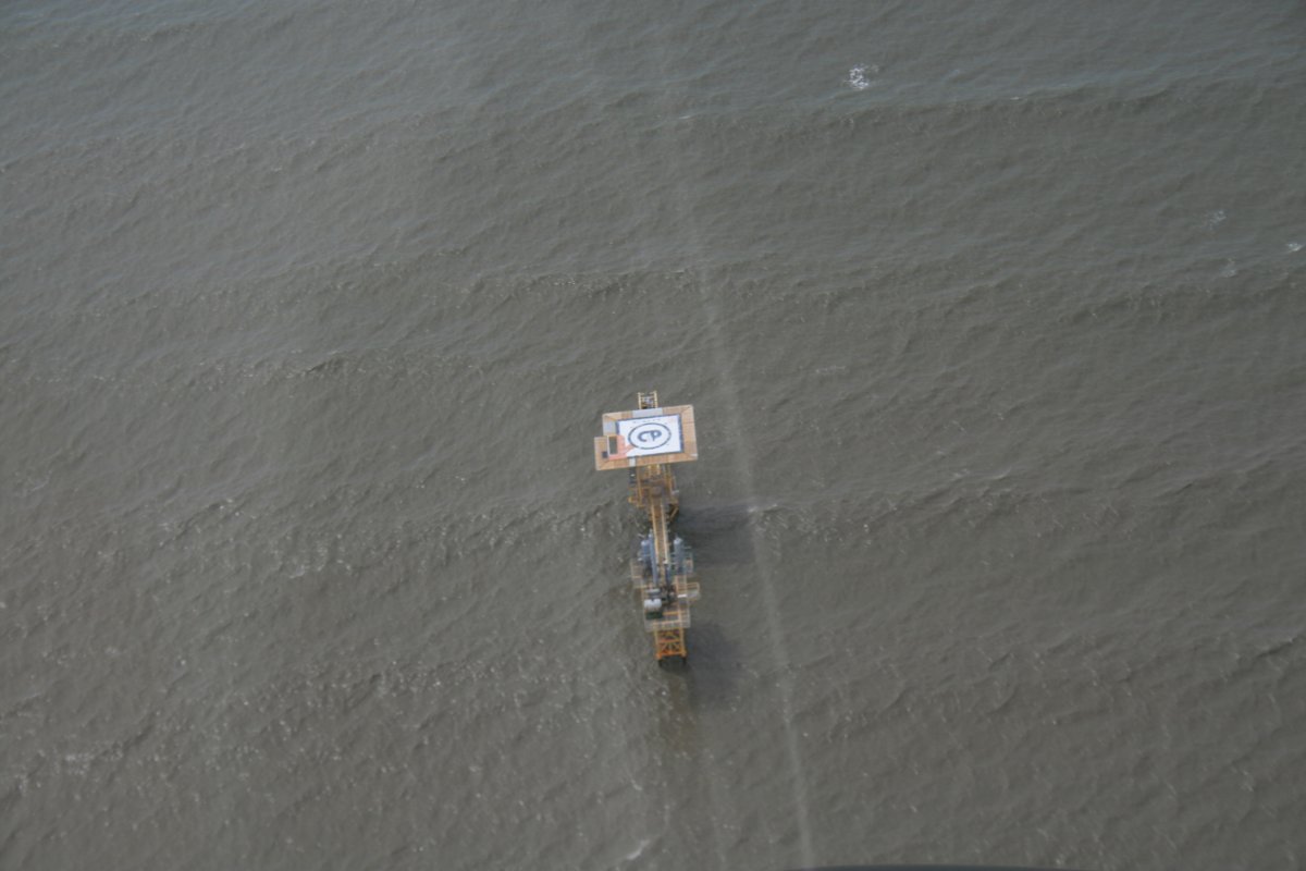
Close up of one of the offshore drilling platforms.
|
| |
 |
|
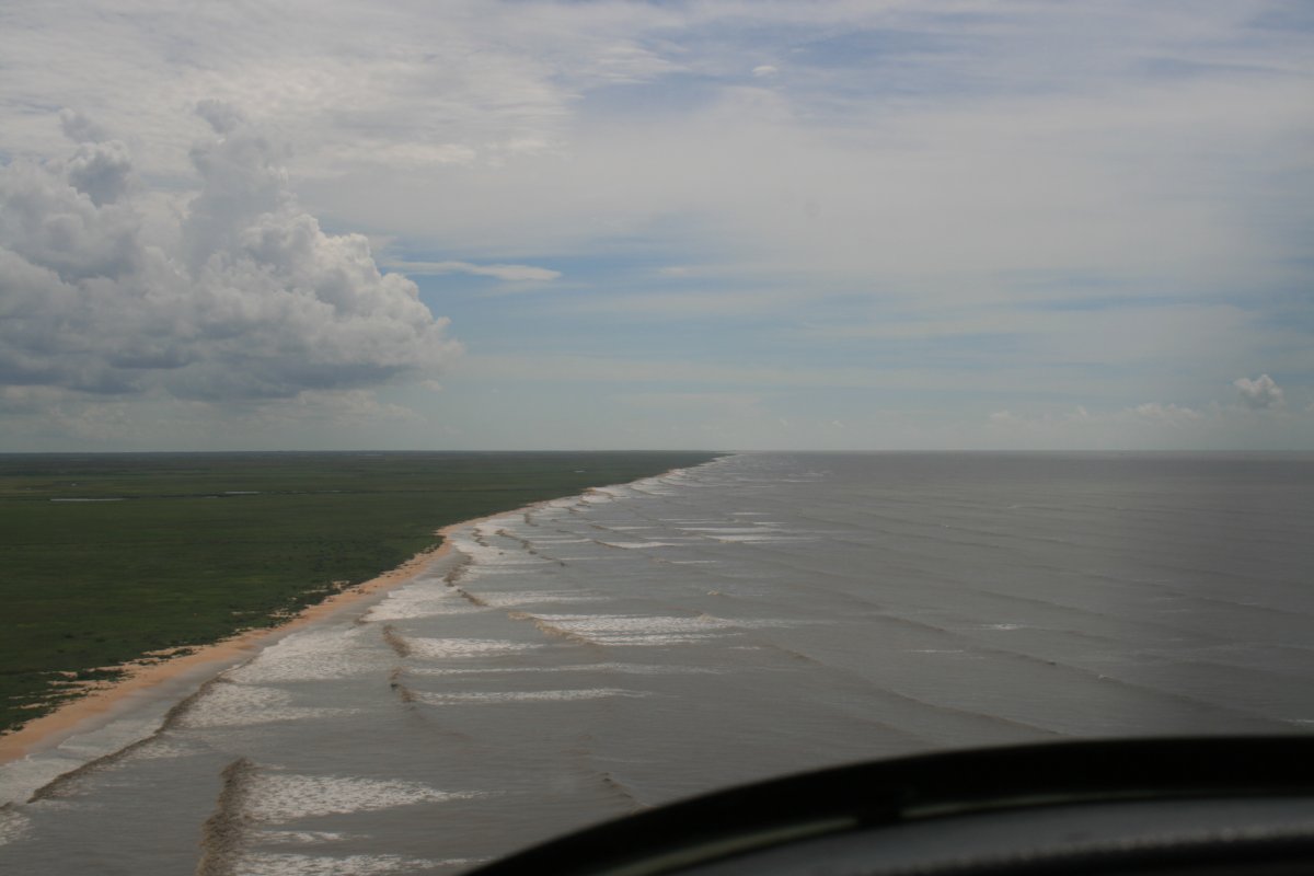
| But soon it was back to the deserted coastline. |
| |
 |
|
| An unusual cut-out called Big Constance Lake. |
| |
 |
|
| |
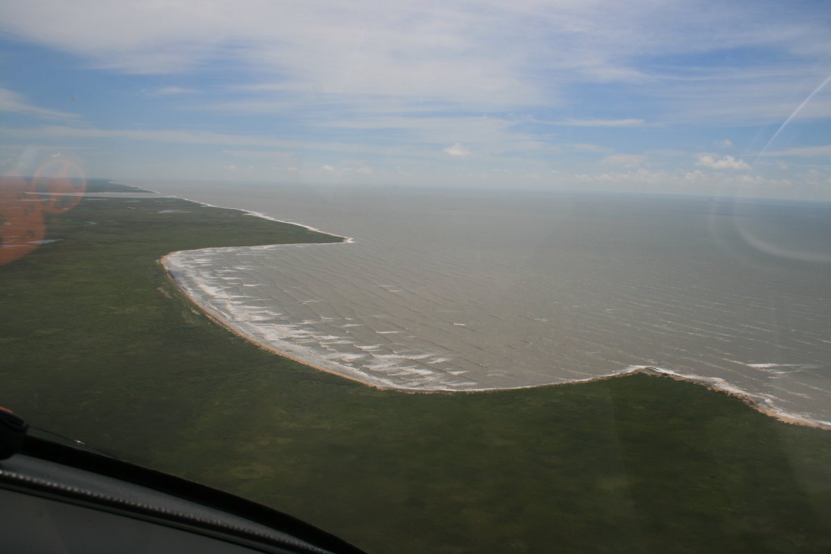
| More deserted coastline as I approach the New Orleans area. My plan had been to follow the coast south of New Orleans. But weather had decided to play. There was weather south of New Orleans which I could see up ahead. I decided to head inland a little to stop and get some gas. |
| |
 |
|
|
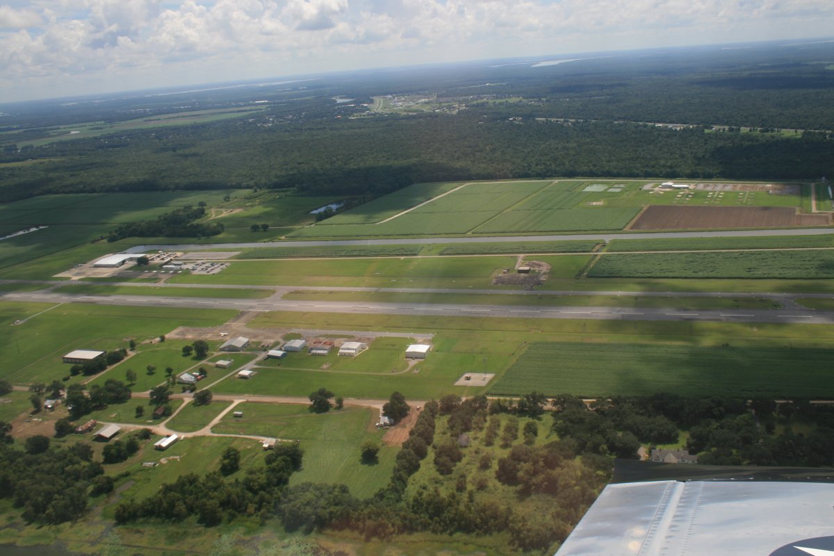
I crossed Vermilion Bay and West Cote Blanche Bay to arrive at Harry P. Williams Memorial Airport (KPTN) in Patterson, Louisiana.
|
| |
 |
|
| |
|
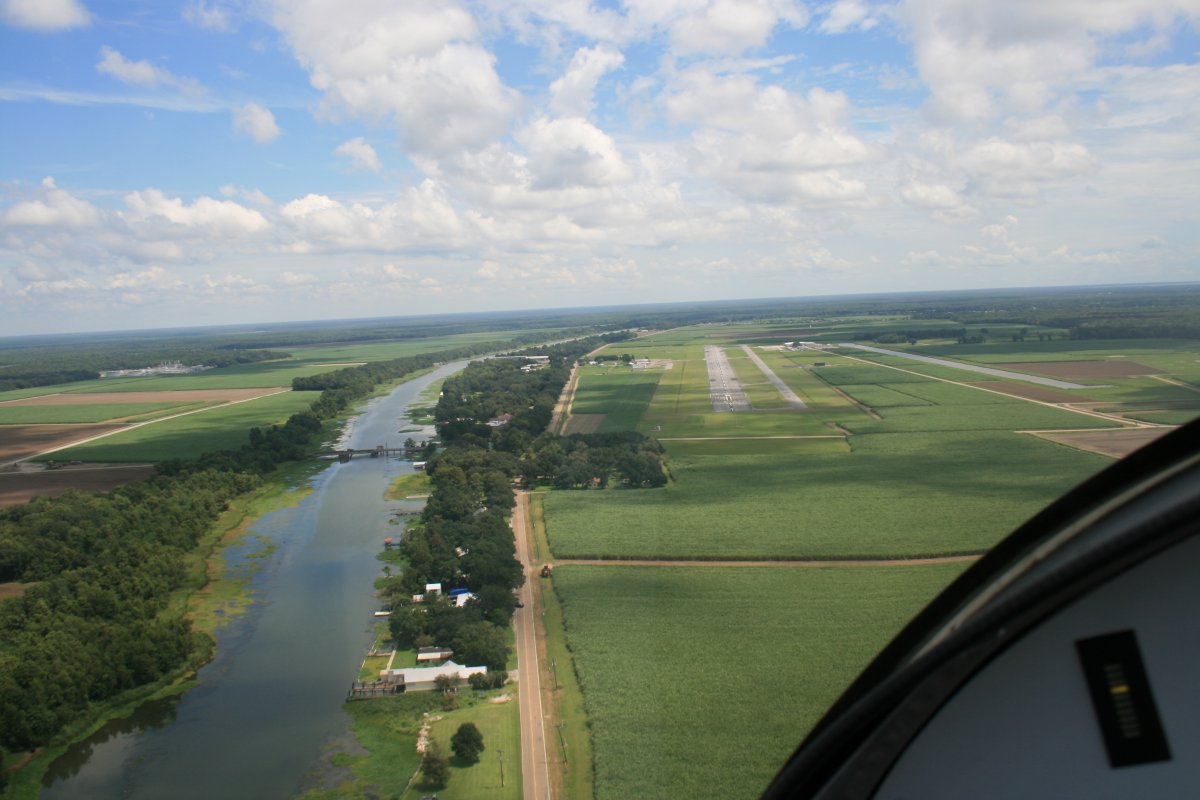
On final at Williams Memorial.
|
| |
 |
|
|
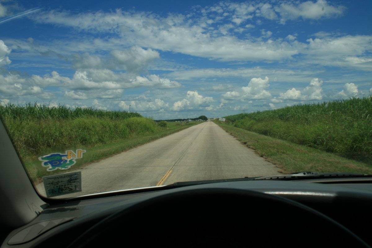
I borrowed the courtesy car to drive into town and get some lunch.
|
| |
 |
|
| Then it was back on the road. Regretfully, I had to give up on following the coast anymore due to weather. I climbed up high and cruised north of New Orleans. As you can see, the clouds were building. |
| |
 |
|
| Looking at the mighty Mississippi winds to the north. |
| |
 |
|
| And to the south next to big Lake Pontchartrain. |
| |
 |
|
|
That is Saint John the Baptist Parish Airport down below, just north of the river.
|
| |
 |
|
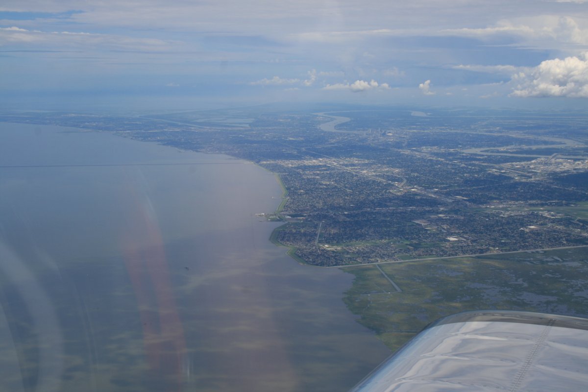
| A good look at the city of New Orleans. The SuperDome is visible, just right of center. I hear the food is pretty good down here. Lynnette and I will have to fly down for a couple of days sometime. |
| |
 |
|
|
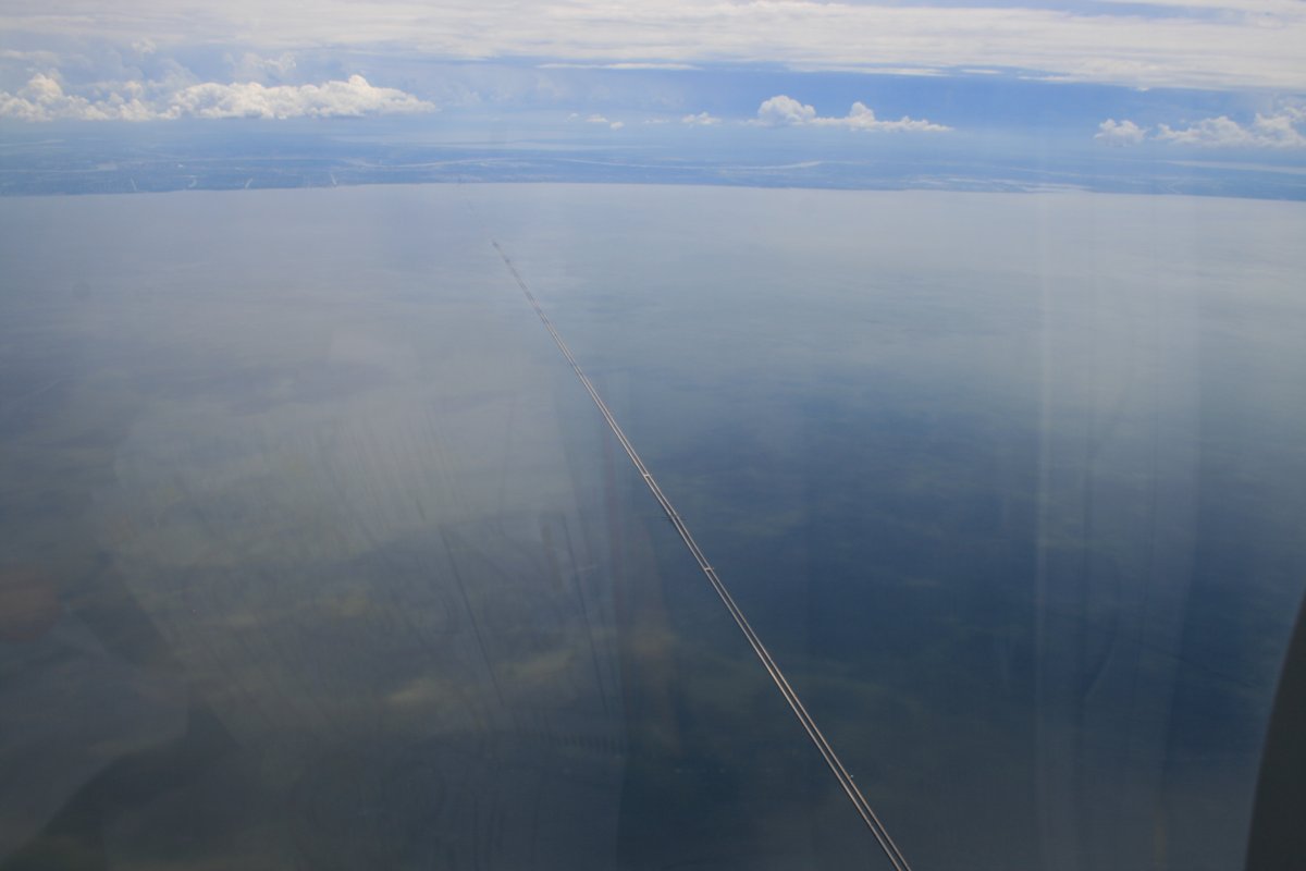
Cruising over Lake Pontchartrain and its long Causeway.
|
| |
 |
|
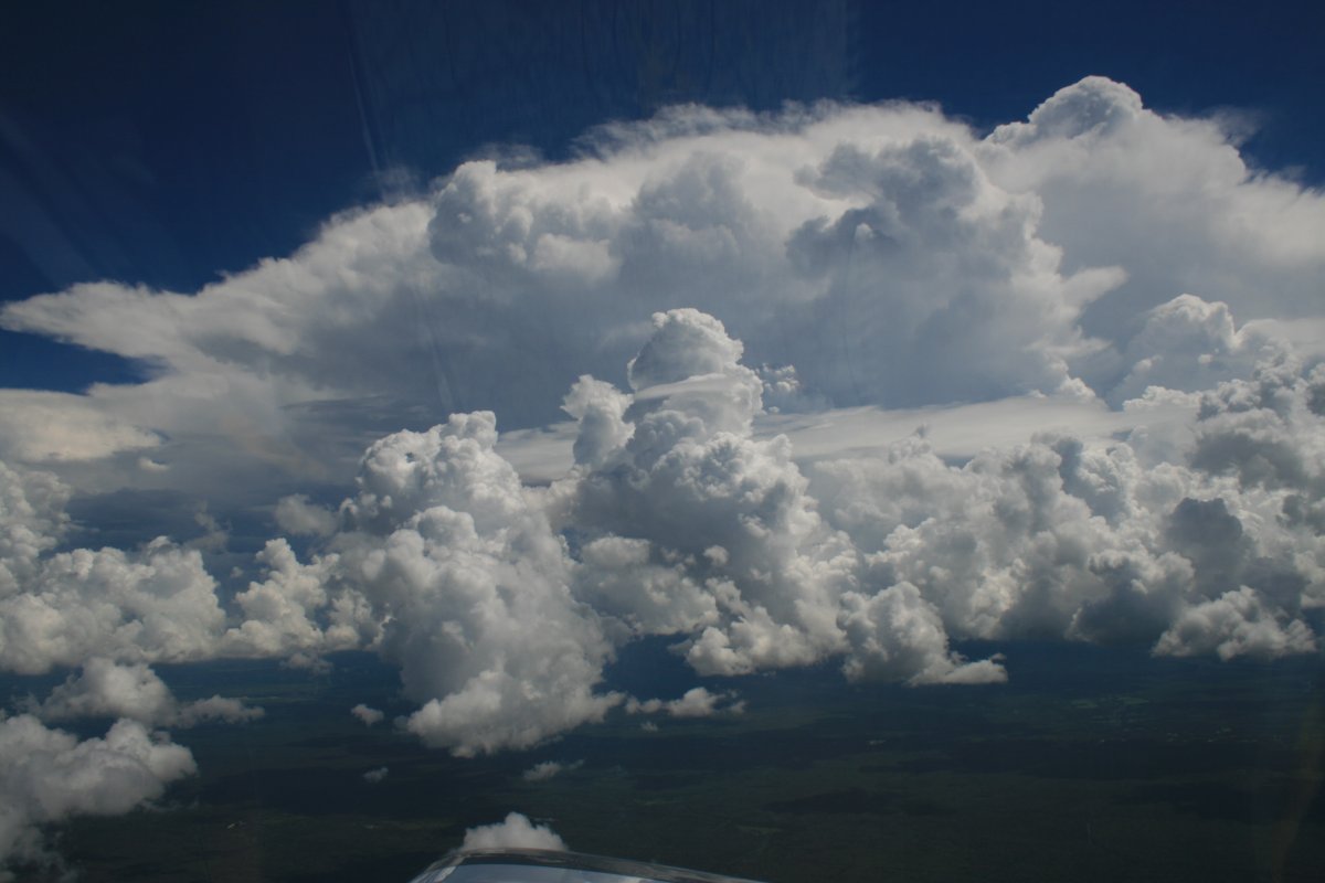
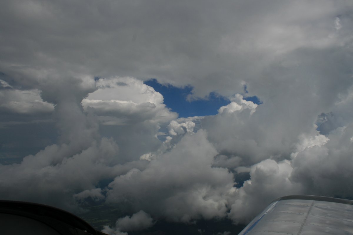
| The weather is becoming a factor. Afternoon thunderstorms are popping up ahead. |
| |
 |
|
|
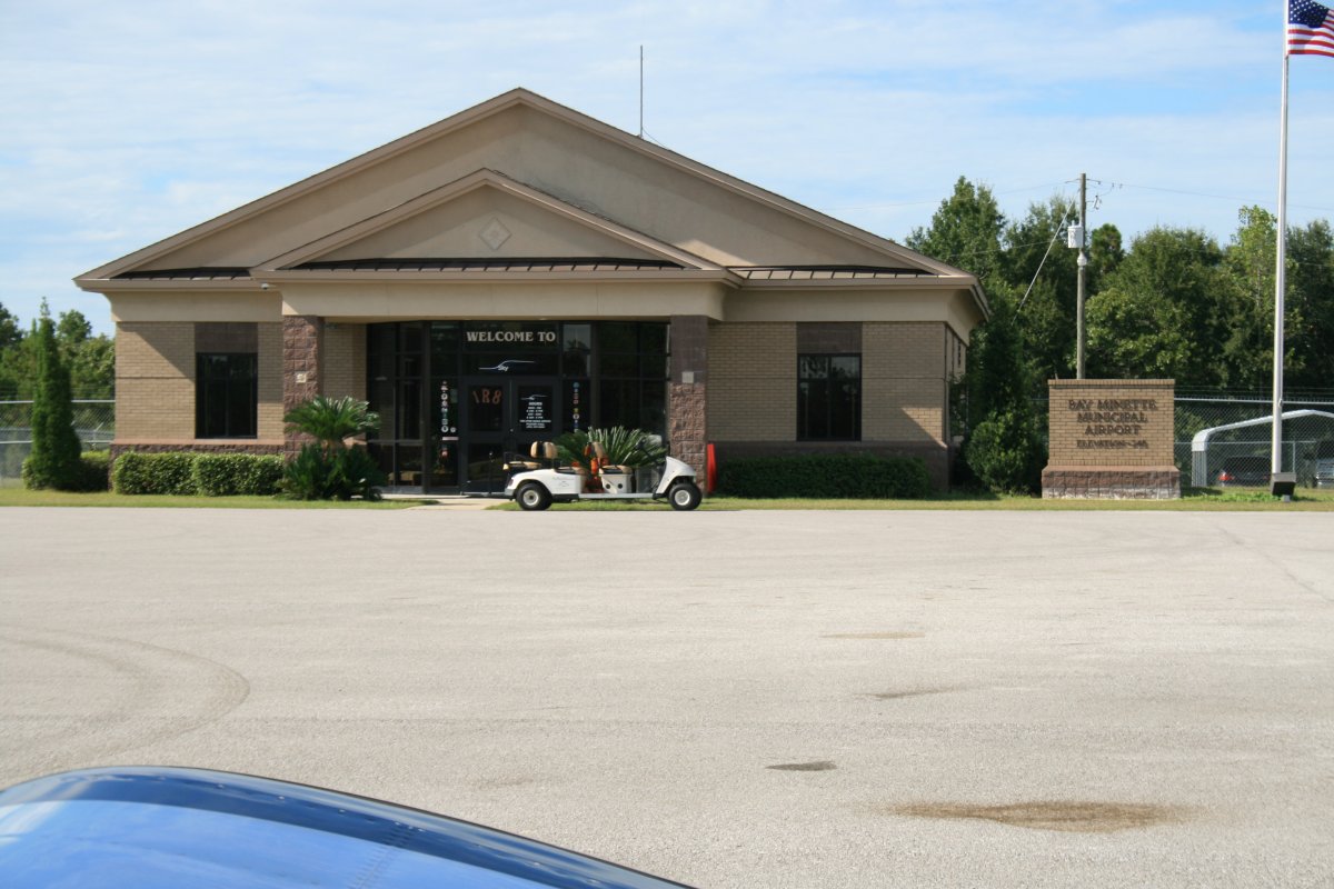
My plan for today called for stopping at Bay Minette Airport (1R8), Alabama -- 20 miles northeast of Mobile -- which has a great reputation and low gas prices. From there I would try to make it to Plains, Georgia so I could check out the Andersonville Civil War prison in the morning.
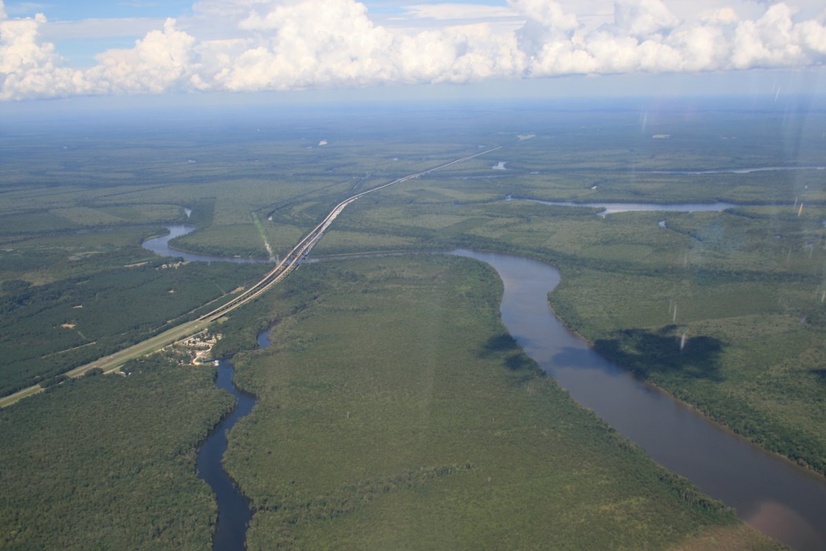
I am now in Alabama, heading east over the trees, about to cross the Pascagoula River. That's Interstate 65 below.
|
| |
 |
|
| |
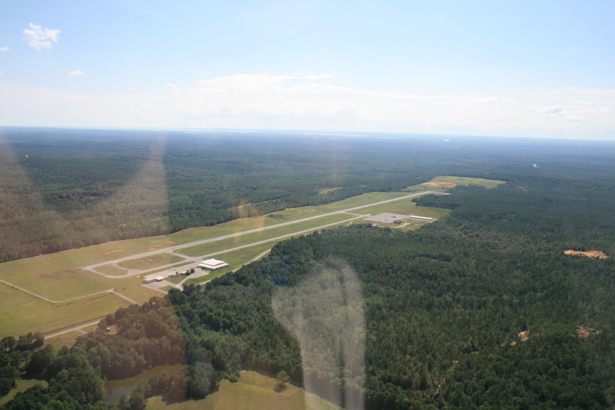
| On downwind at Bay Minette Airport. |
| |
 |
|
|
I was aware of Bay Minnette's great reputation. This is a favorite stop for pilots heading to Lakeland, Florida for Sun 'N Fun. Why do pilot's like Bay Minnette so much? Sure, their fuel prices are low; in fact, the lowest I paid my entire trip. They have the courtesy car. Amazingly, they have a free food buffett available the entire day. But I'm guessing none of these are the main reason. The real reason? Well, you are going to have to fly down to Alabama and find out for yourself!
|
| |
 |
|
|
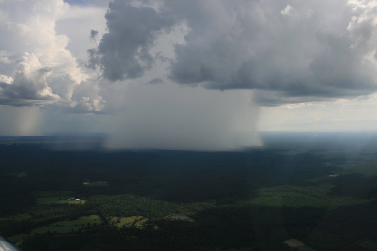
It was only about 4PM and I wasn't ready to stop flying. There was weather ahead of me but it looked like there were big gaps I could get through. So I took off but after about ten minutes there was just an impenetrable wall ahead of me, so I had to turn around. I headed back to Bay Minette, passing this impressive rainstorm to my left. I don't think I've ever seen one before so well-defined.
Back at Bay Minette, I borrowed their courtesy town to go into town for the night.
|
| |
 |
|
| |
|
|
|
|
|
|