Day 7 Part 1 - Vernal, Utah to Carbon County, Utah
|
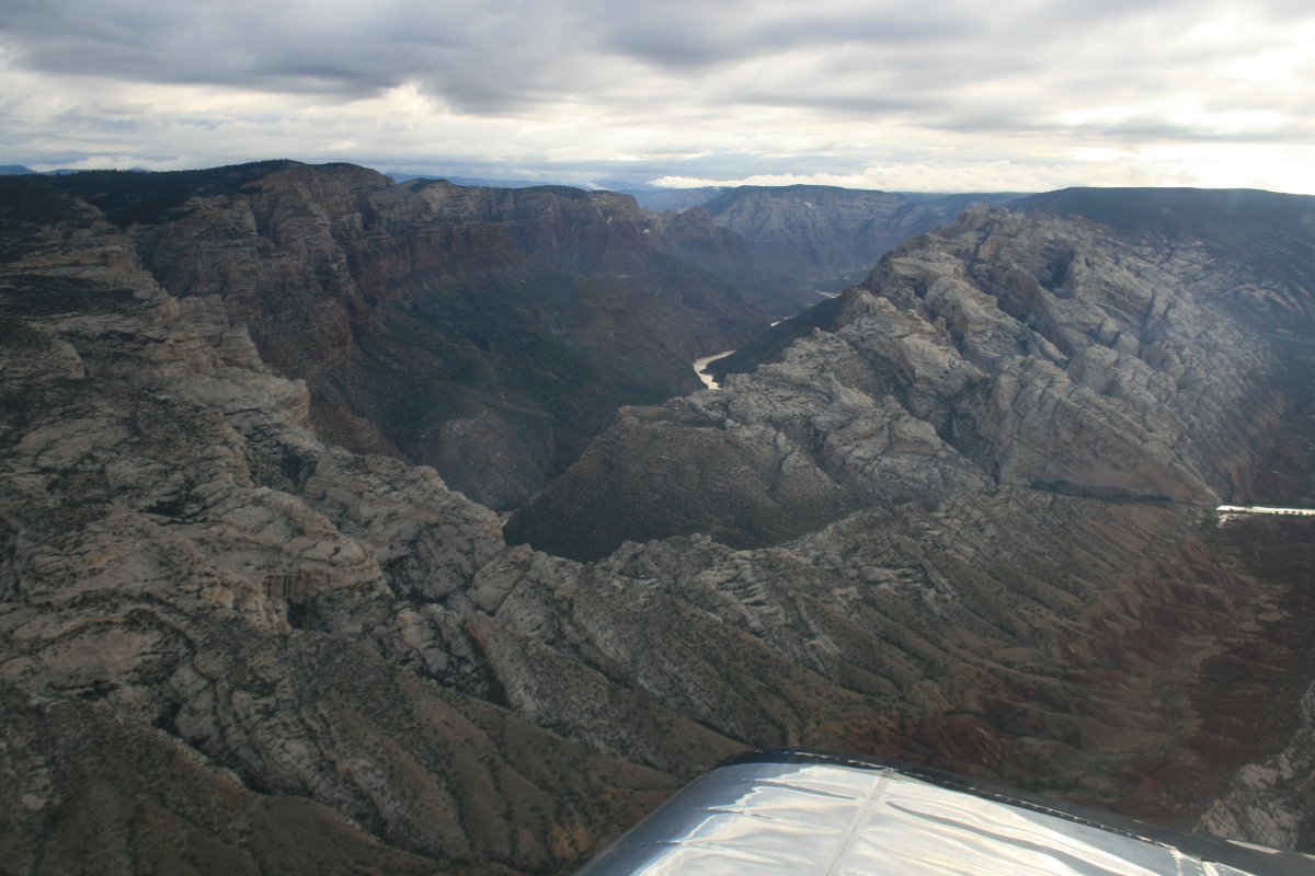
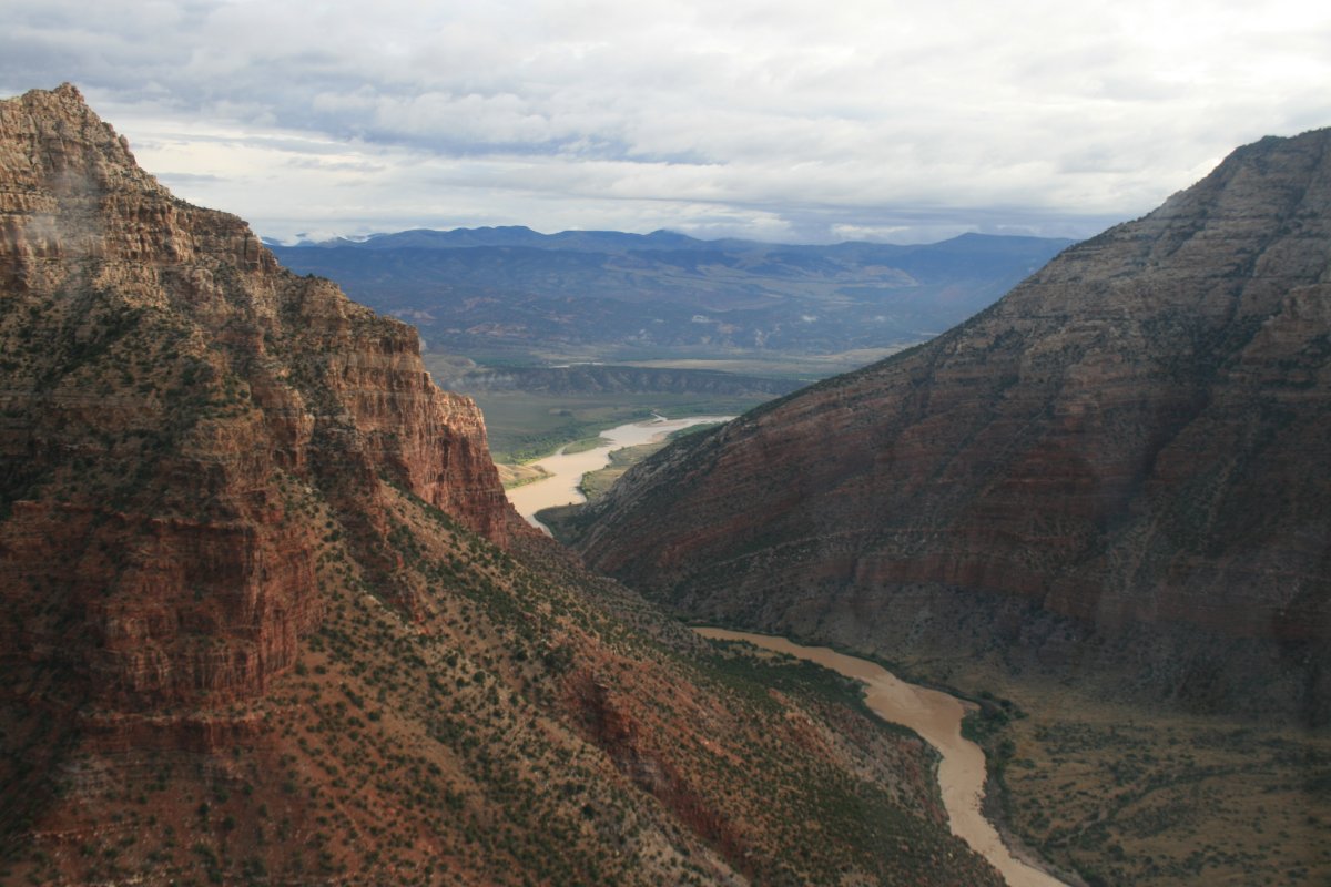
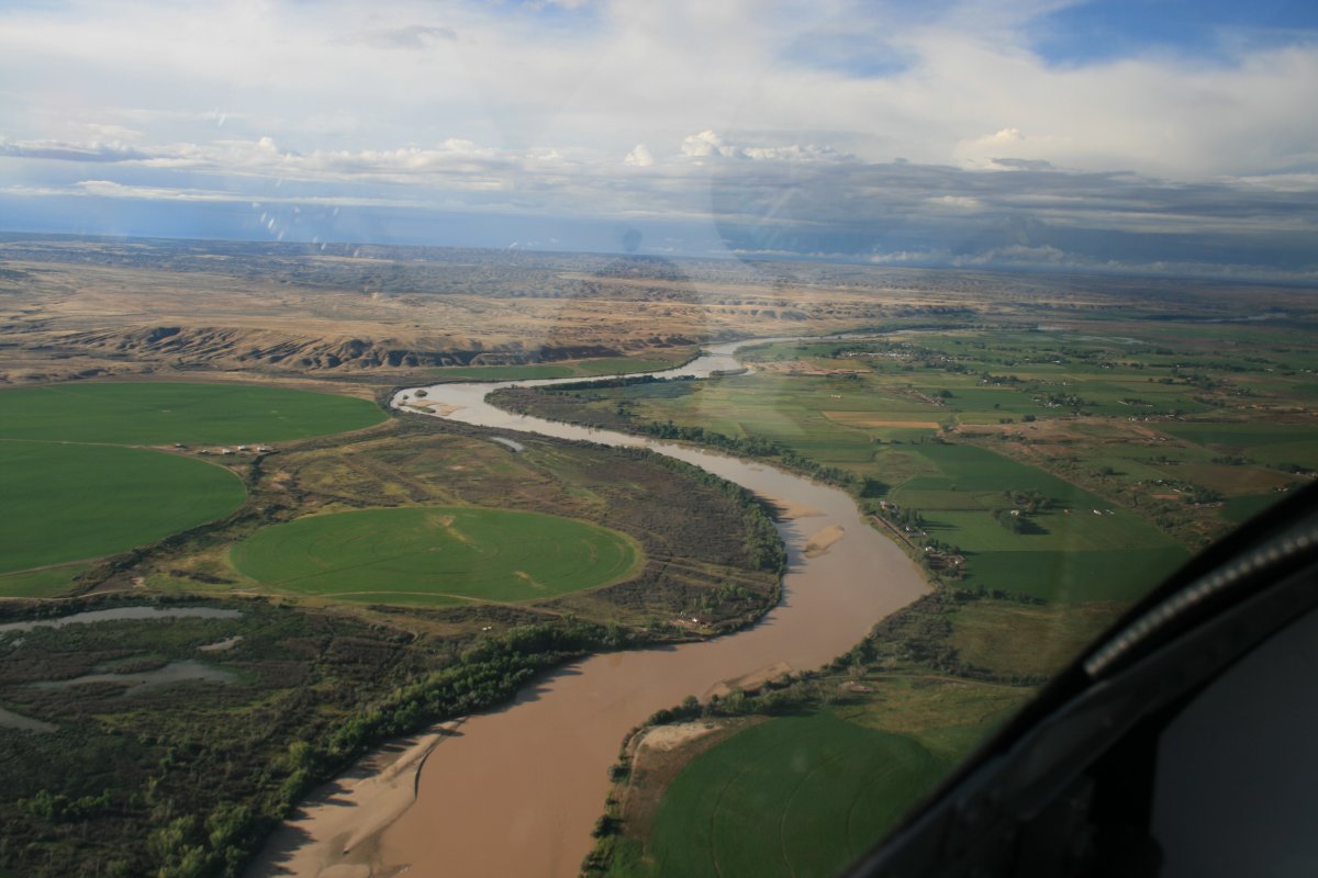
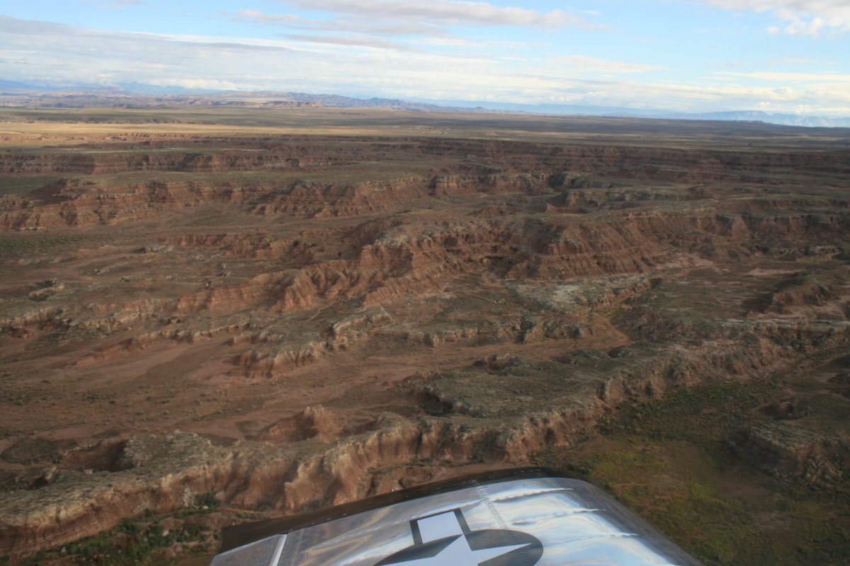
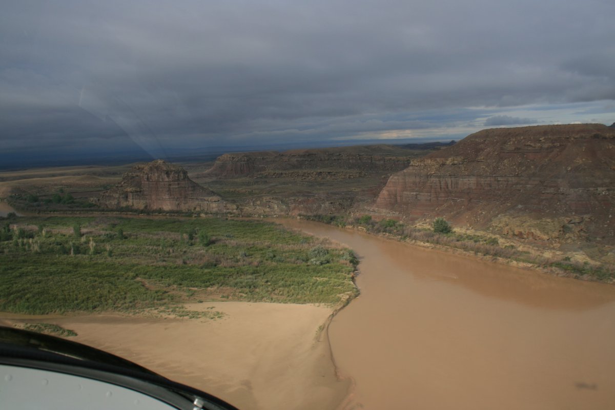
| The river canyon area at the end of my flight yesterday was so spectacular I flew back into it for a short distance this morning. |
| |
 |
|
|
Different direction, different lighting, it was like experiencing it for the first time.
|
| |
 |
|
| |
| |
 |
|
|
|
| |
 |
|
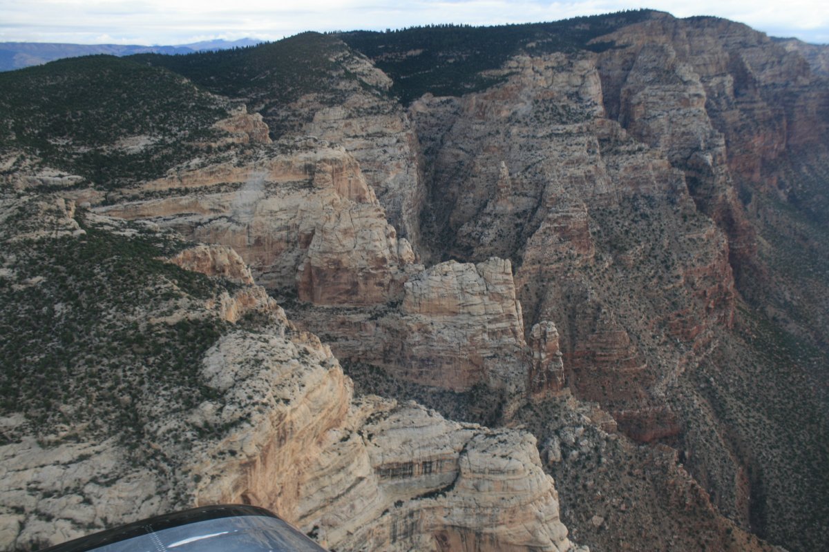
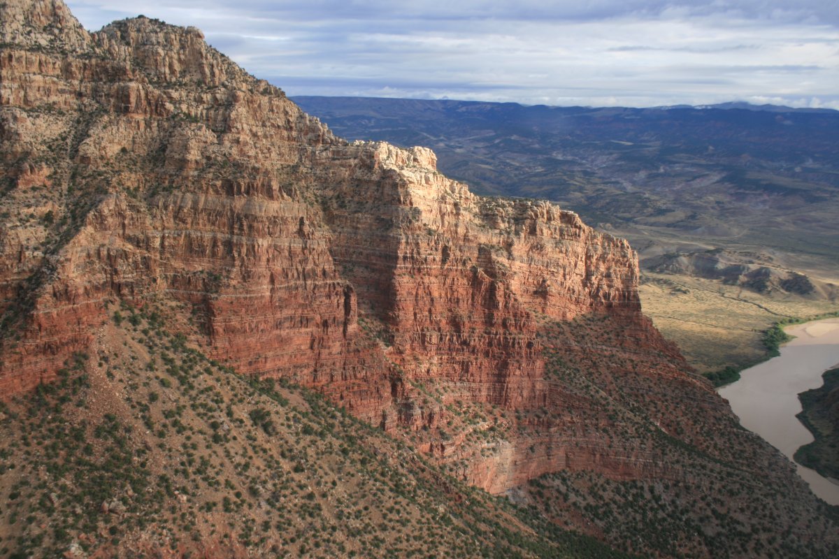
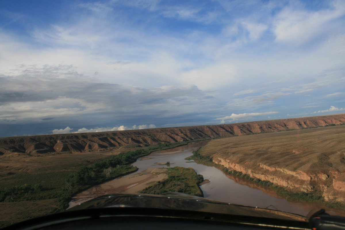
| Turning north through the gap. |
| |
 |
|
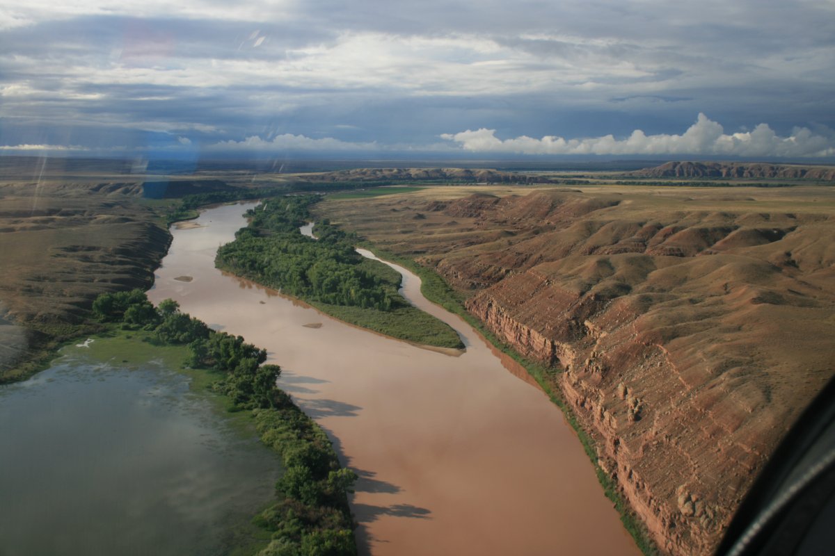
| Rounding the bend. |
| |
 |
|
| |
| |
 |
|
|
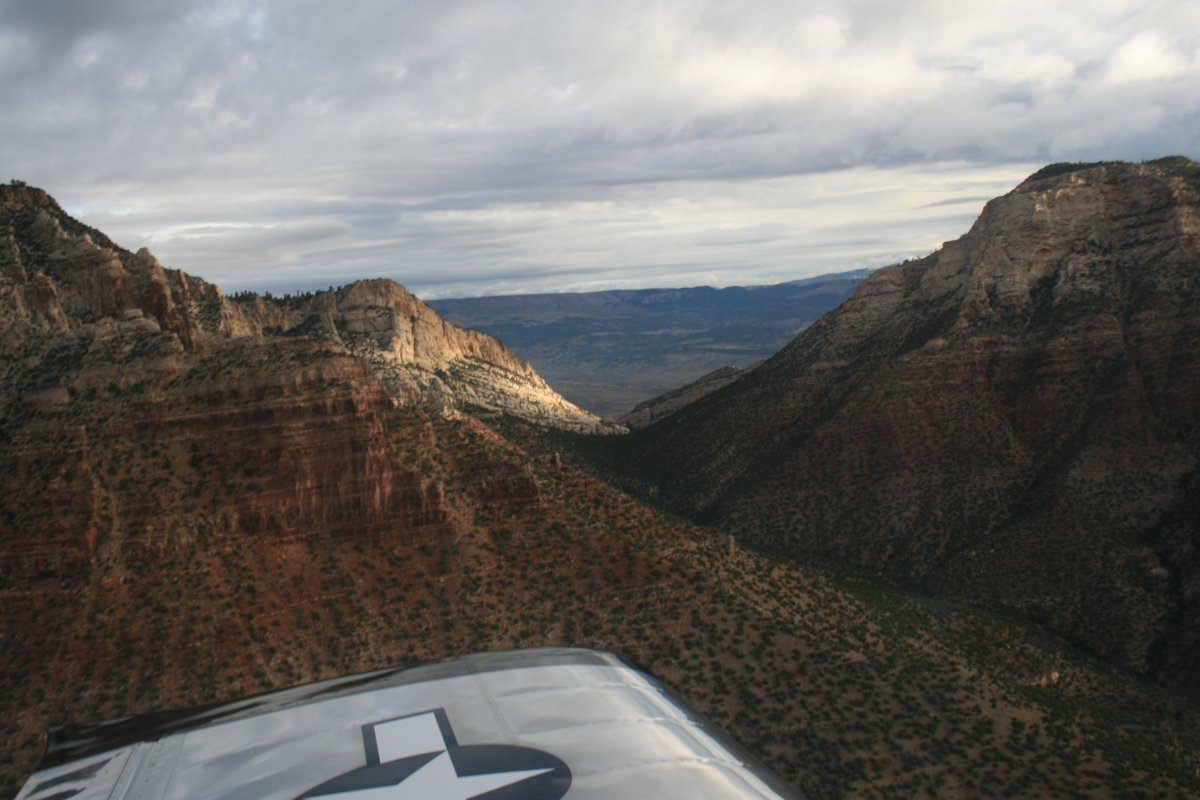
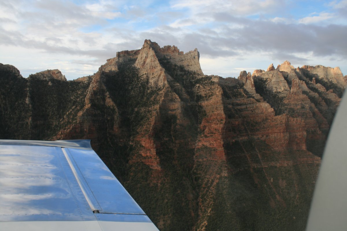
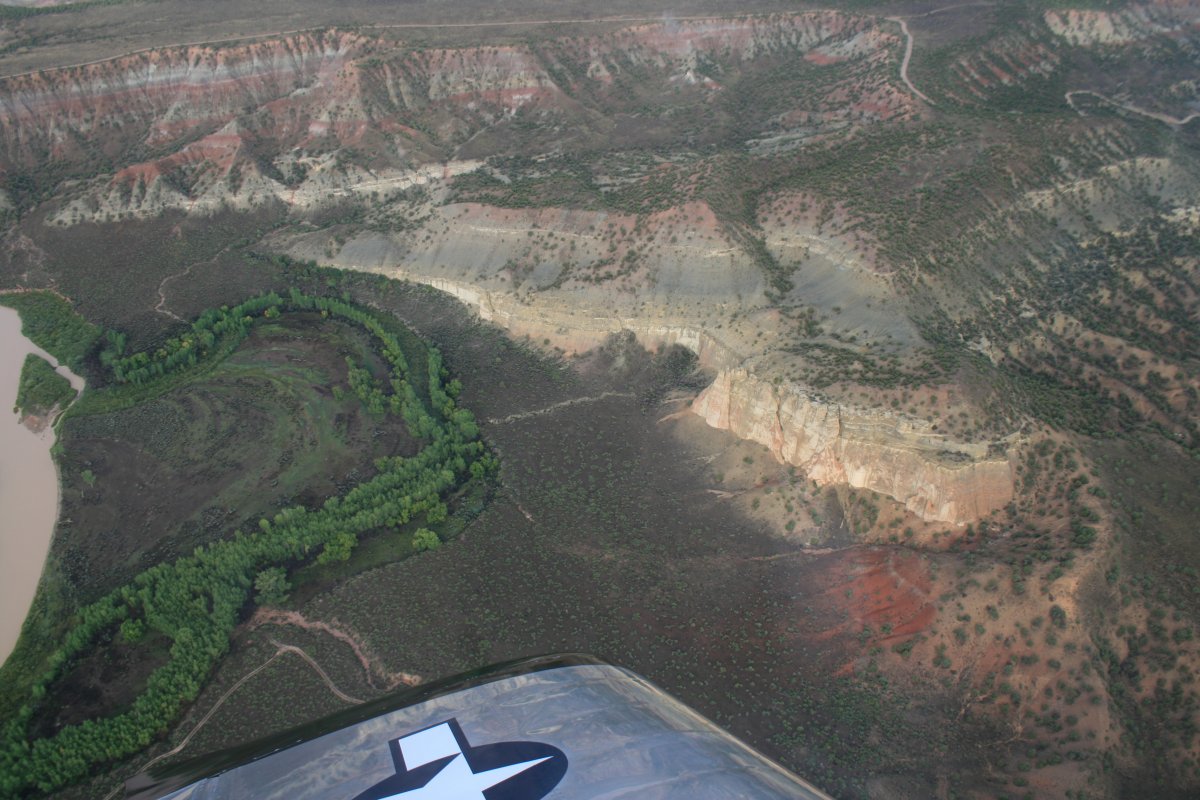
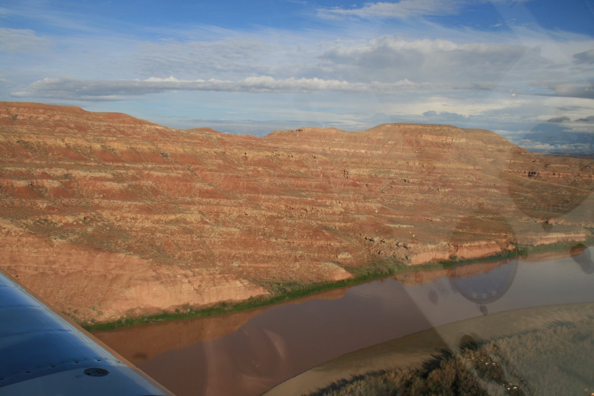
I flew back on the northern side of the mountains.
|
| |
 |
|
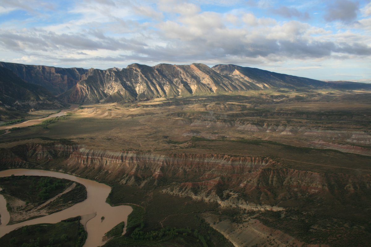
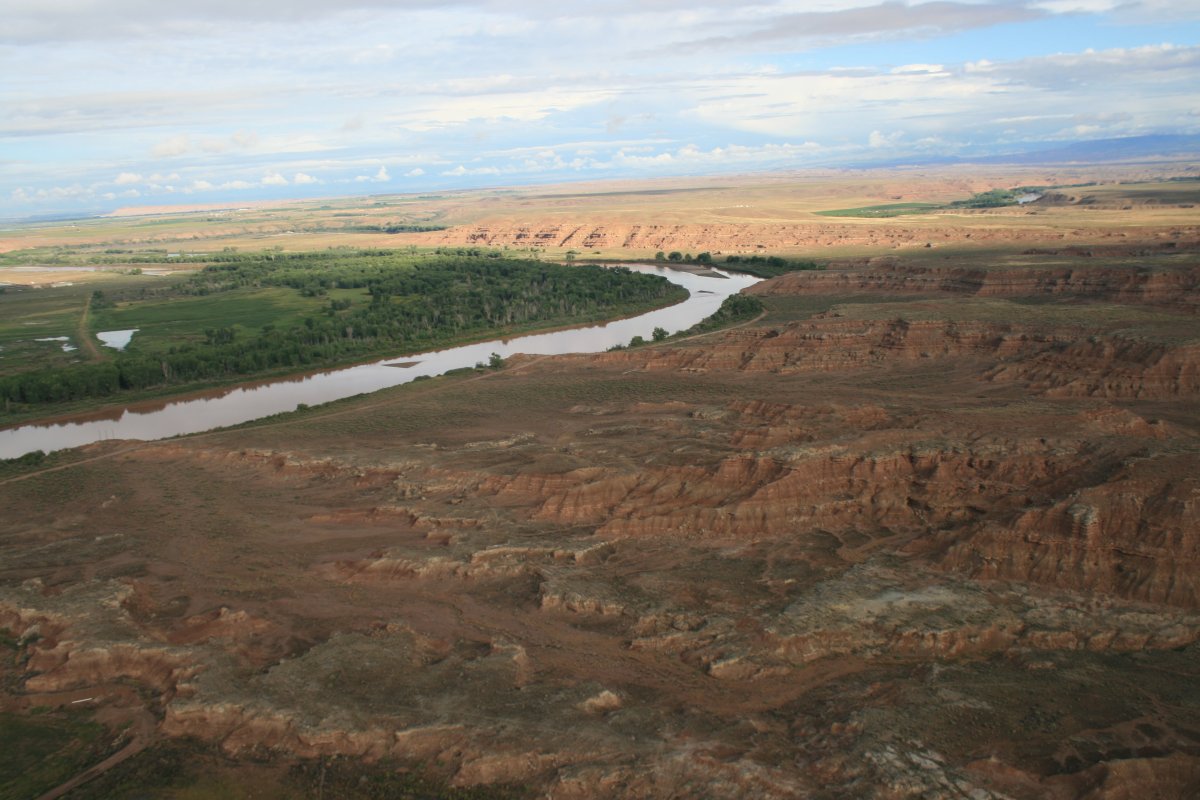
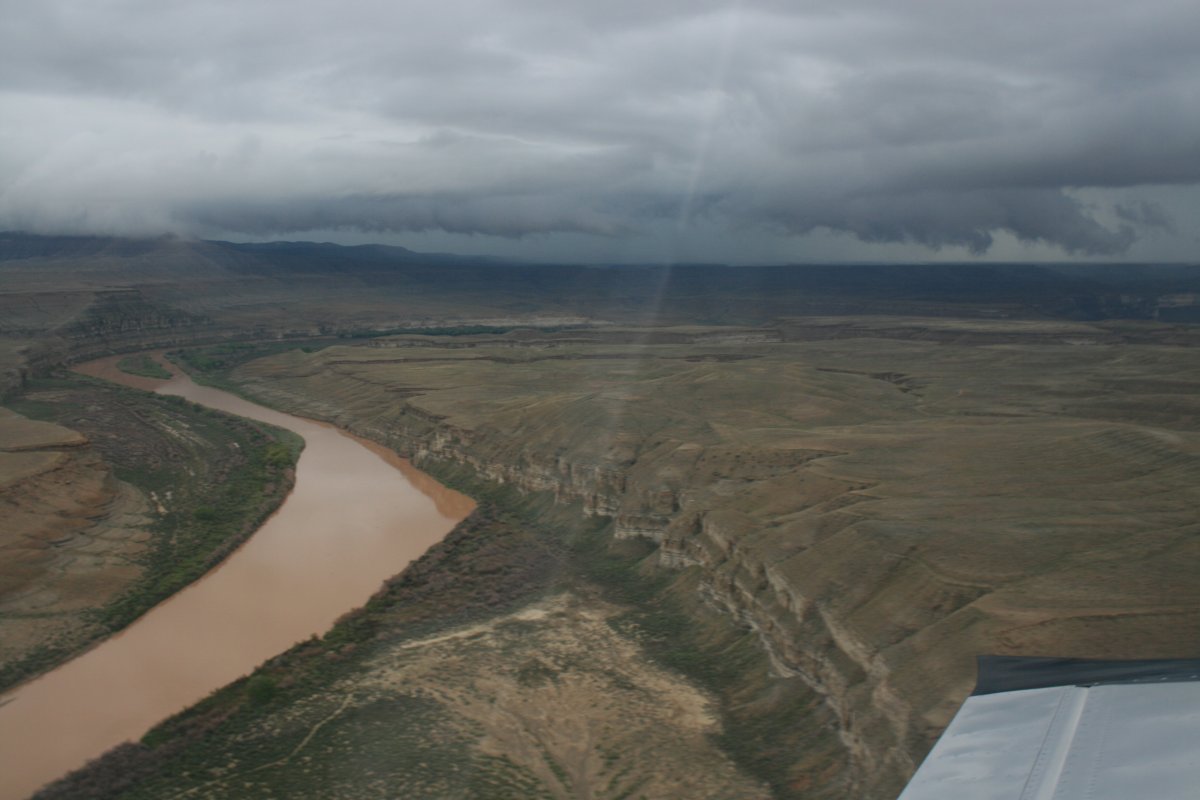
| Then it was time to continue my journey south along the Green River. Checking the weather this morning, I knew there was weather blocking my route. But I was hoping it would either move, or I could get around it to the west. |
| |
 |
|
|
I was enjoying flying the river, but the weather was increasingly visible as I headed toward it.
|
| |
 |
|
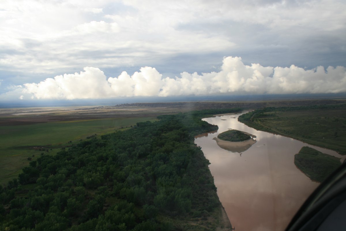
| This is why you fly early in the morning. The sun really lights up the scenery. |
| |
 |
|
| |
| |
 |
|
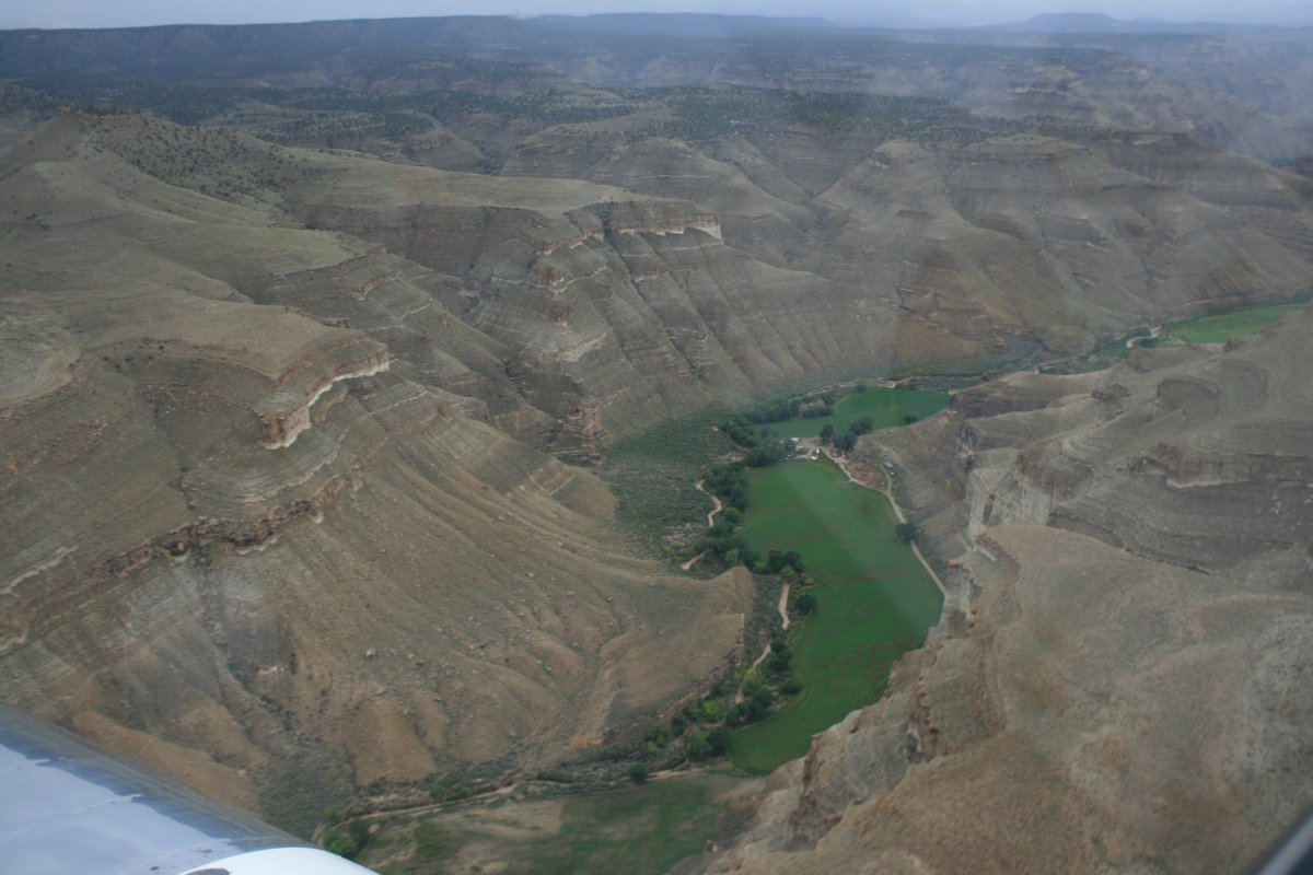
| Starting to see neat rock formations away from the river. |
| |
 |
|
|
Things look clear to the west. Good to have that option.
|
| |
 |
|
| But not looking good straight ahead to the south. |
| |
 |
|
|
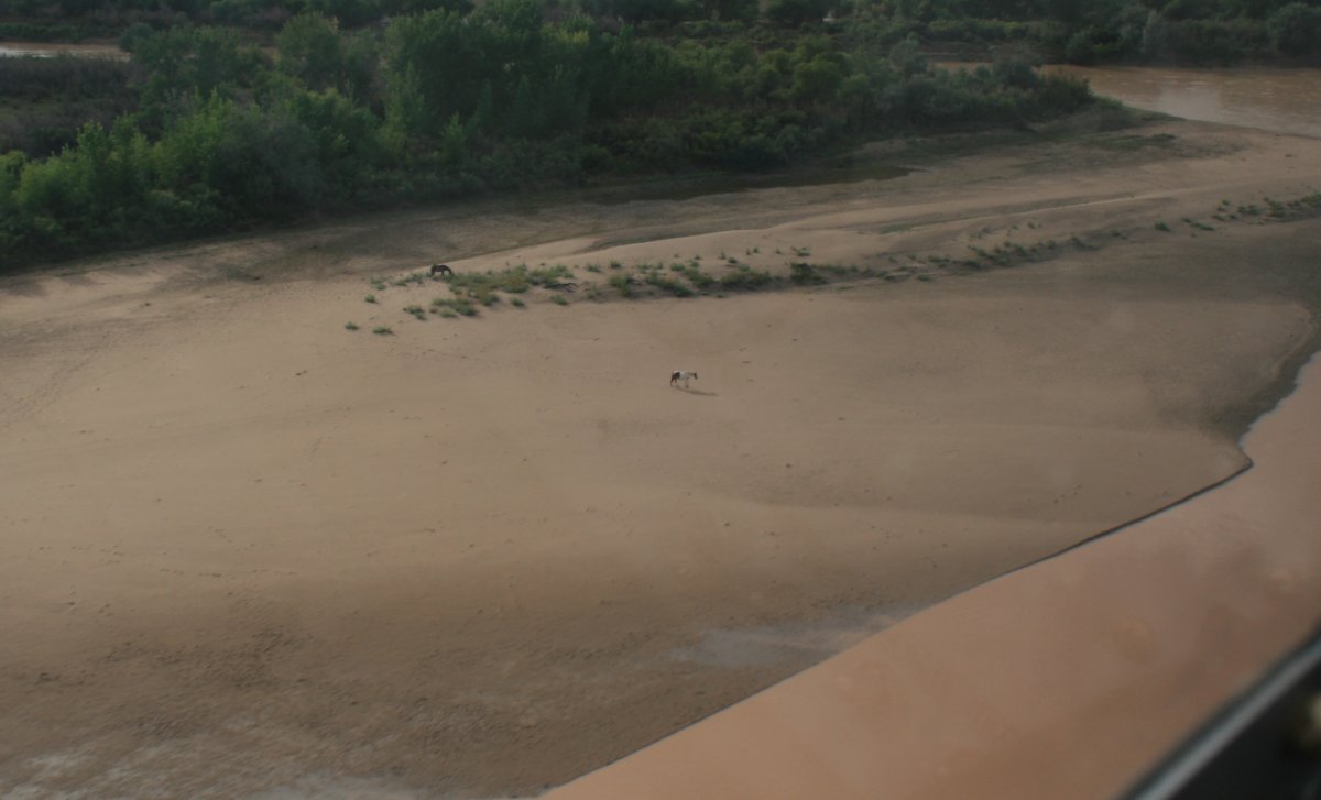
Wild horses on a river sand bar.
|
| |
 |
|
| |
| |
 |
|
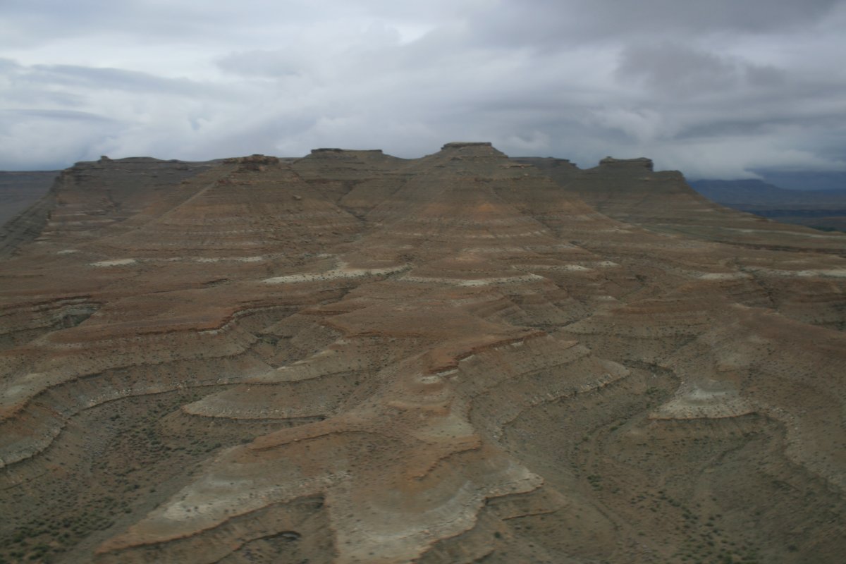
| The terrain is really getting interesting. I call this "snow cone village". |
| |
 |
|
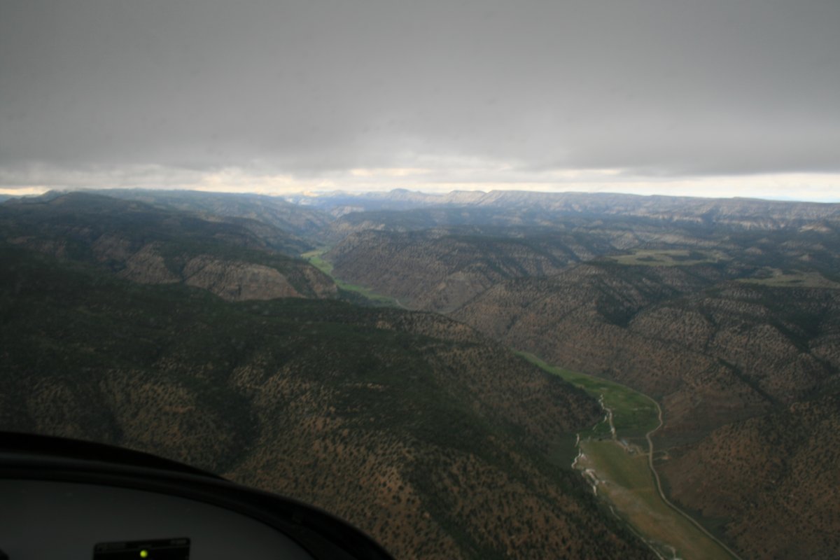
| Rain clearly visible head. Will have to head west soon. |
| |
 |
|
|
Soon after, I did turn west and followed Nine Mile Creek which ran parallel to the weather.
|
| |
 |
|
|
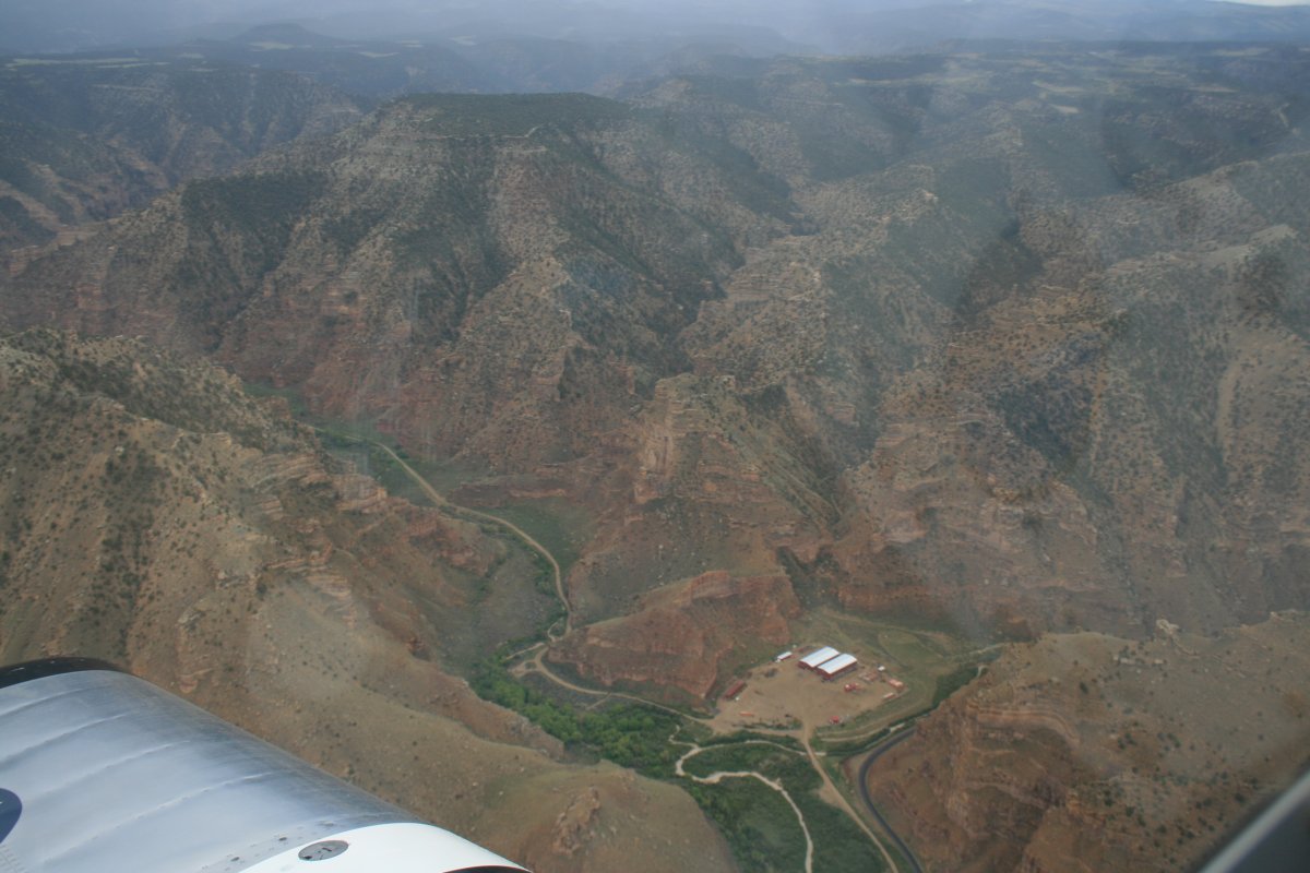
Pretty remote but there are people out here making a living.
|
| |
 |
|
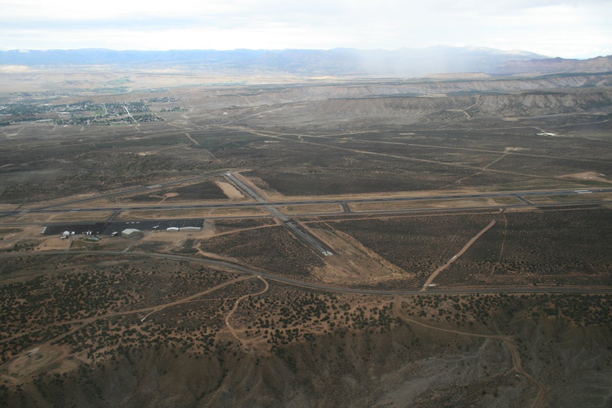
| My goal was to make it through the West Tavaputs Plateau to Carbon County Airport in the flatland beyond. |
| |
 |
|
| I got rained on a little bit but made it to Carbon County airport fairly easily. |
| |
 |
|
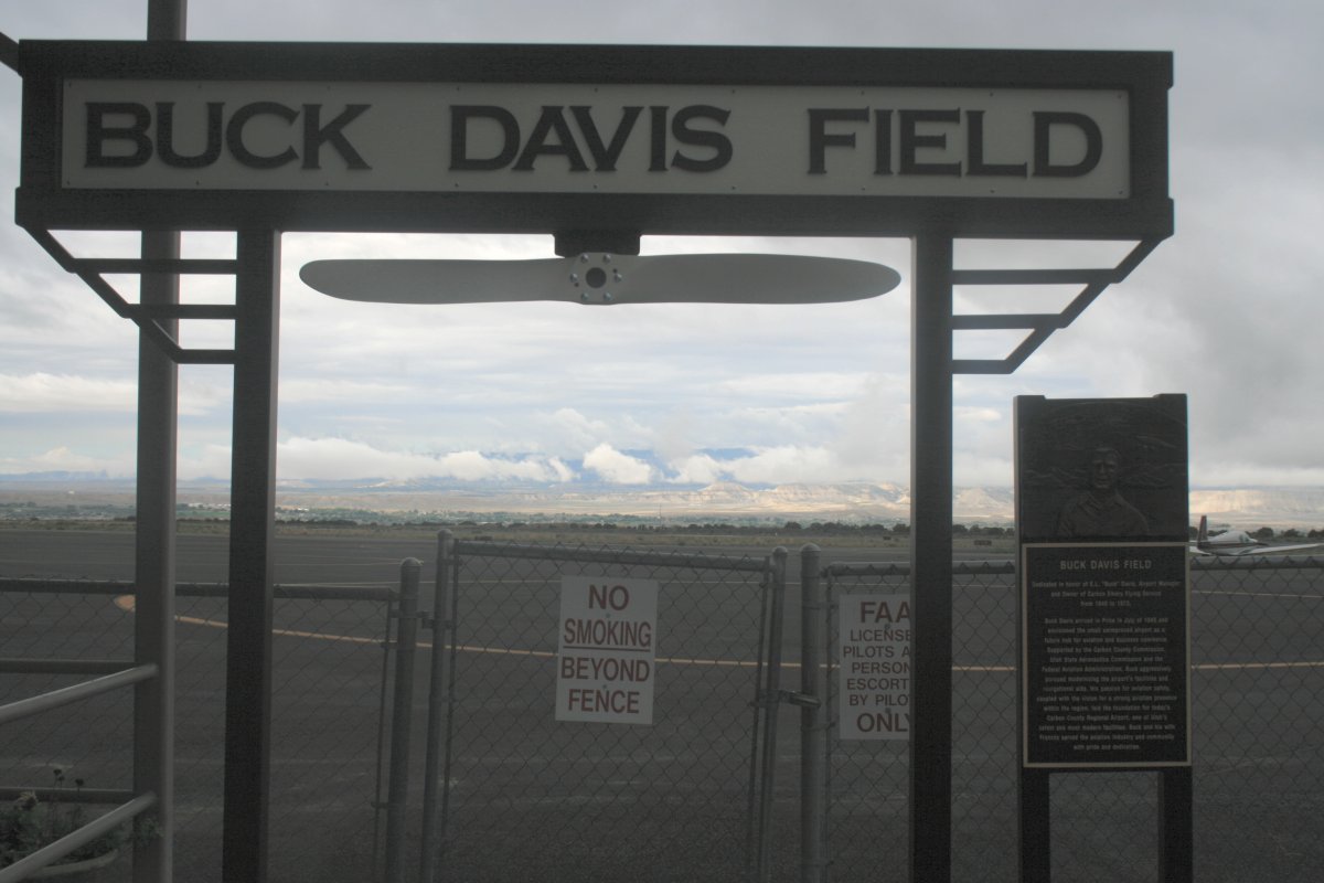
| I didn't need any gas but just hung out for half an hour, checked weather, and talked with the FBO attendants who were friendly. They gave me some advice for Canyonlands Airport which was today's destination. |
| |
 |
|
| |
|
|
|
|
|
|