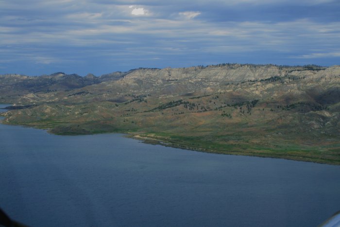
July 21, 2010 - Missouri Breaks: Fort Peck to Winifred
This leg of my trip would be over some remote country so I
double-checked to make sure my SPOT2 was working.
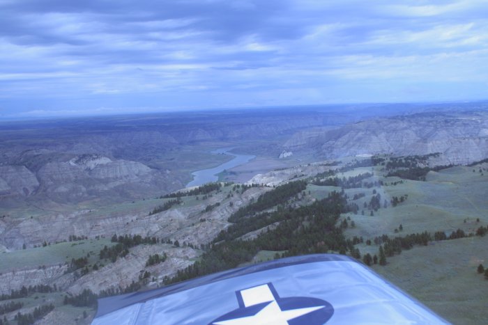
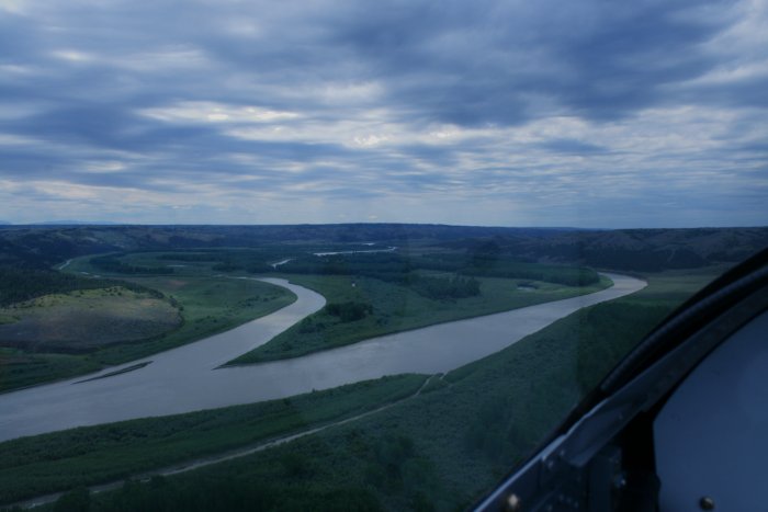
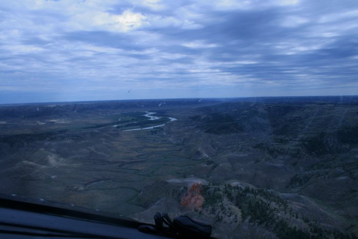
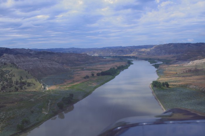
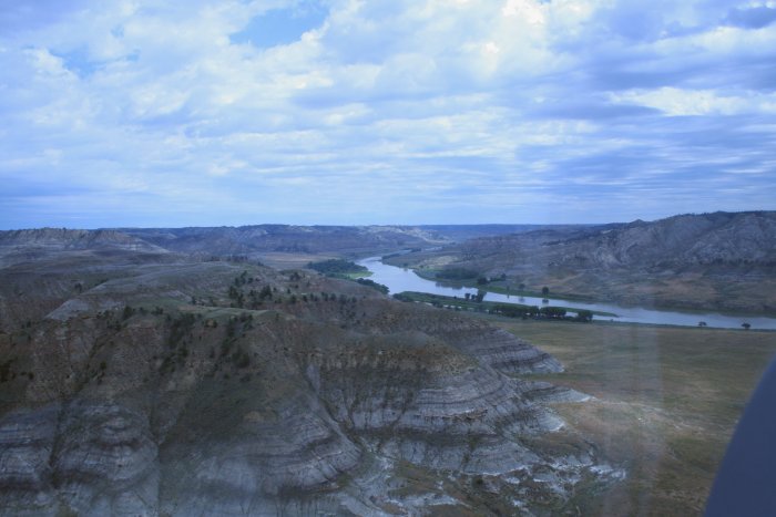
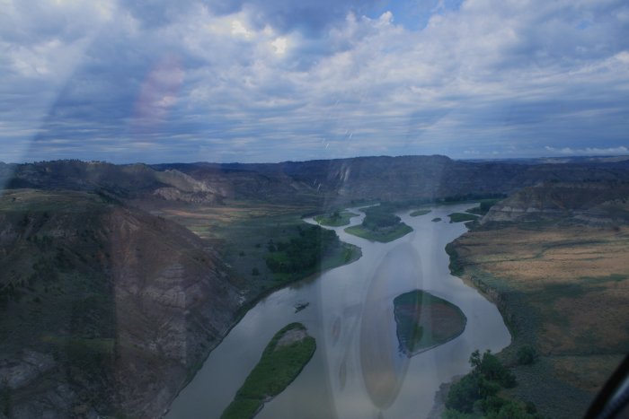
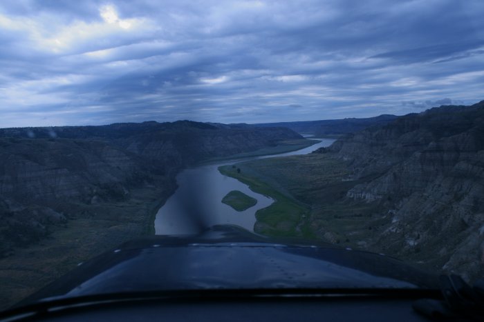
Back over the river.
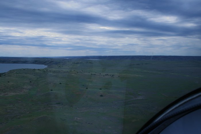
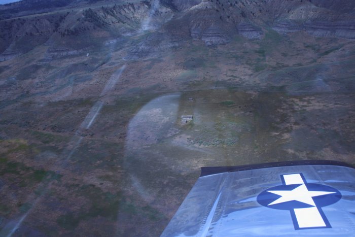
PIlots Getaways magazine ran a story on eight strips owned by the Bureau of Land Management. They are not maintained, and have no facilities, but you can land at your own risk, camp, hike to the river, whatever.
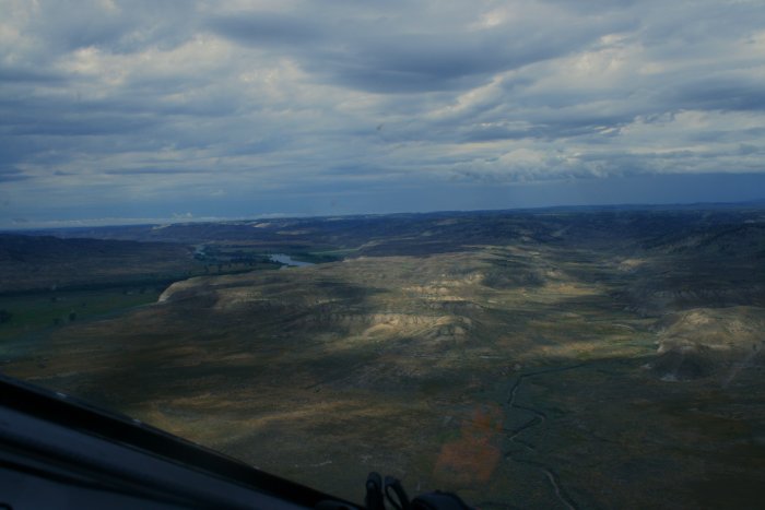
I checked out one strip, Knot Ridge, a short ways south of the river. If I didn't have the GPS coordinates, it would be hard to know it was an airstrip. I wanted to land, but being by myself, it wasn't a good idea. It would be fun to fly in with a group of planes.
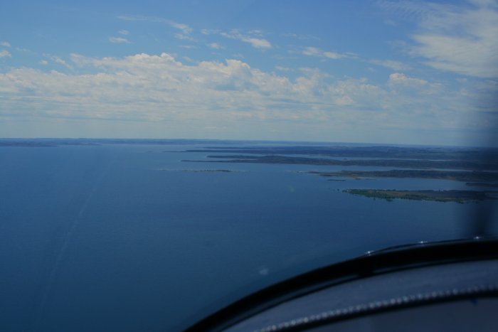
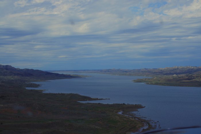
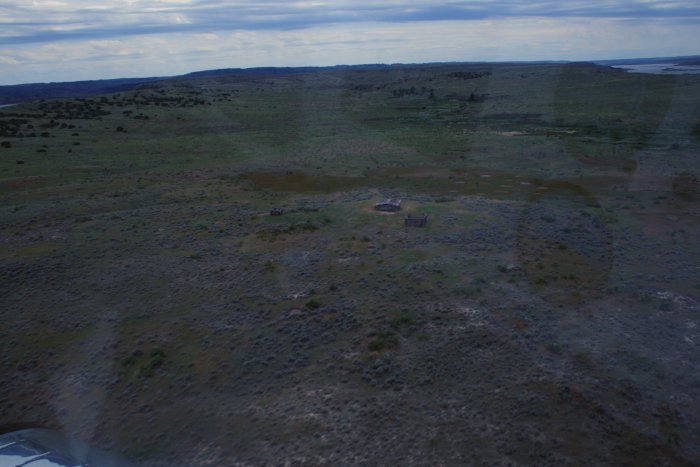
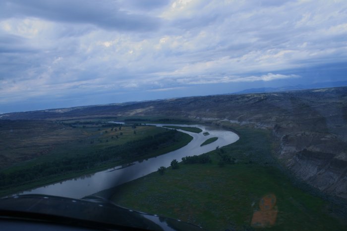
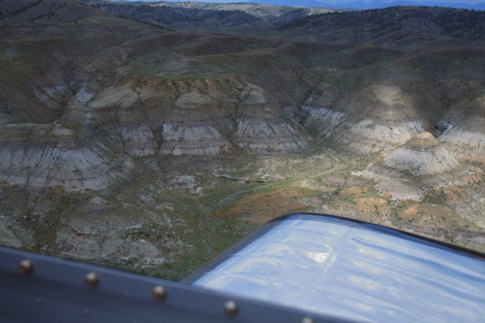
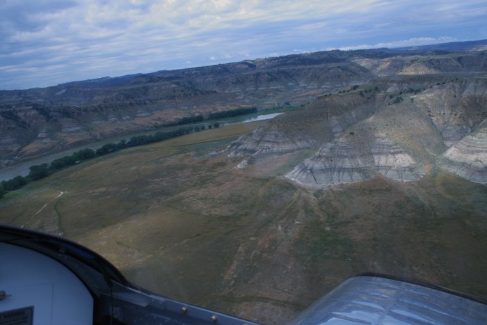
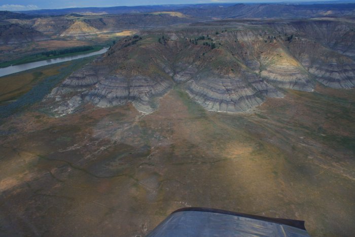
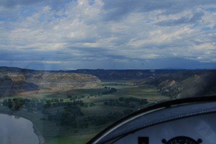
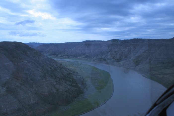
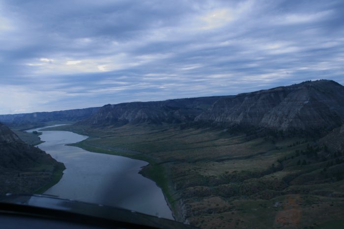
Which just seemed to be getting better and
better...
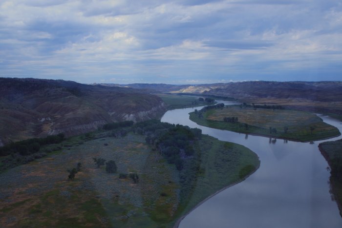
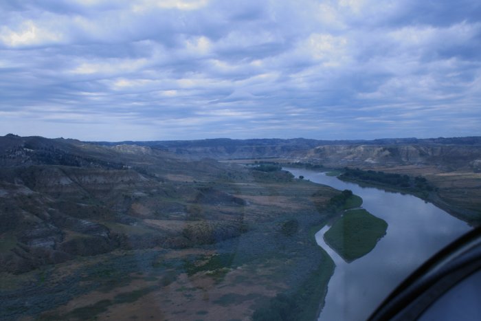
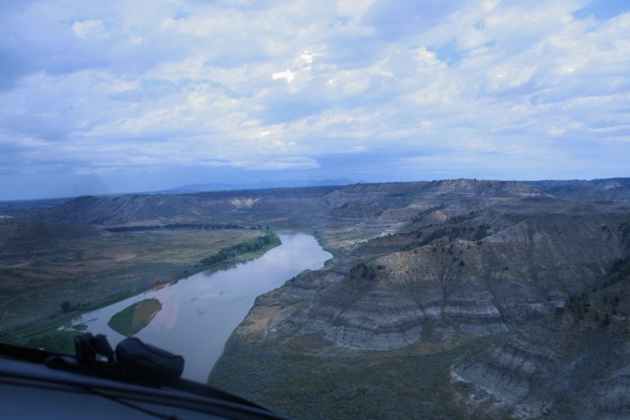
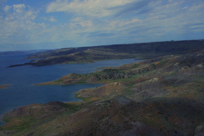
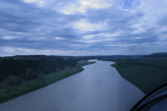
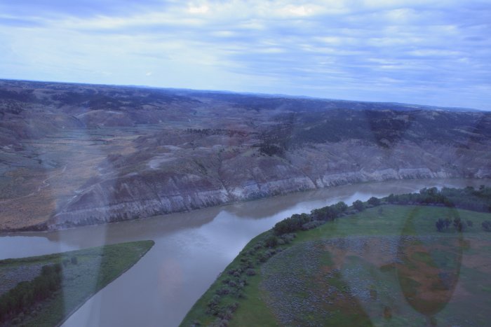
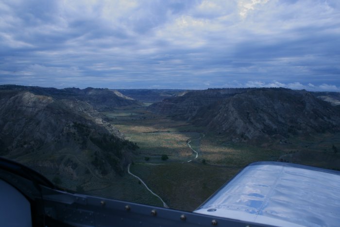
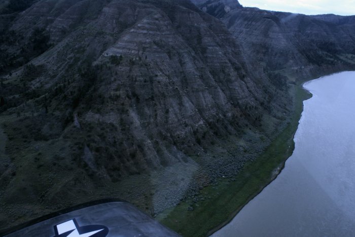
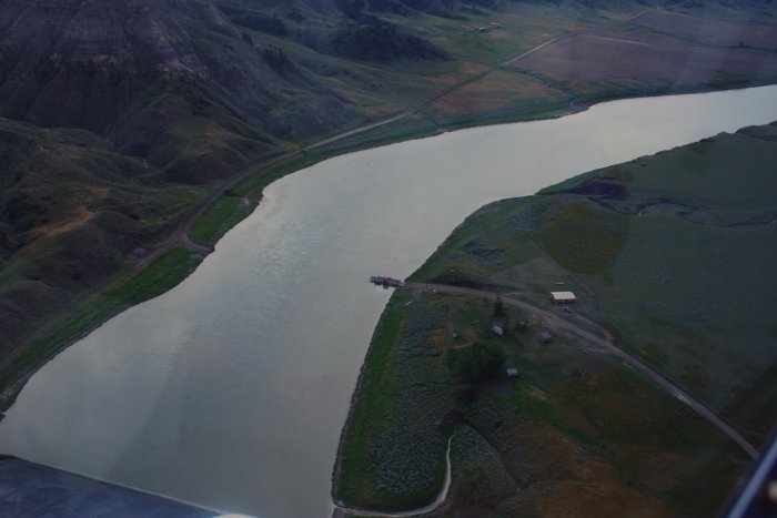
A little tributary off the Missouri. Arnell's Creek
perhaps?
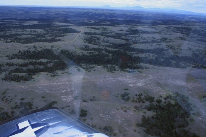
I left the Breaks again to check out a dirt strip airport
called Winifred about 10 miles or so to the south.