July 21, 2010 - Day 3 Mandan to Fort Peck |
|
I departed Mandan expecting today to be the most scenic day of the
entire trip. I was not to be disappointed.
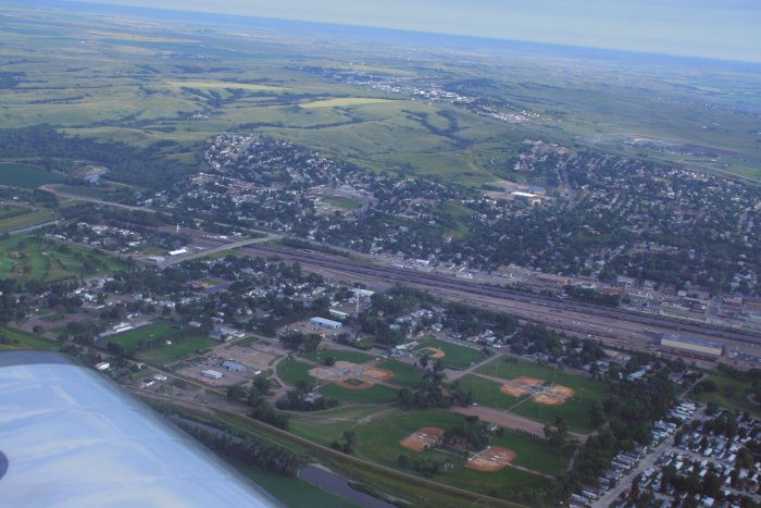
Mandan seemed to be a working town. Bismark, the state capital,
is on the other side of the river; maybe it was more upscale.
|
|
 |
|
|
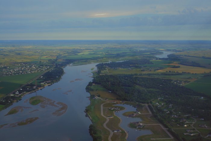
The river was still heading mostly north.
|
|
 |
|
| I enjoyed flying the narrow river for
about 40 miles. |
|
 |
|
|
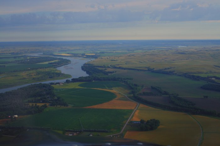
Once again, I throttled backquite a bit, and cruised along
at 130-140 mph or so burning 6-7 gph. |
|
 |
|
|
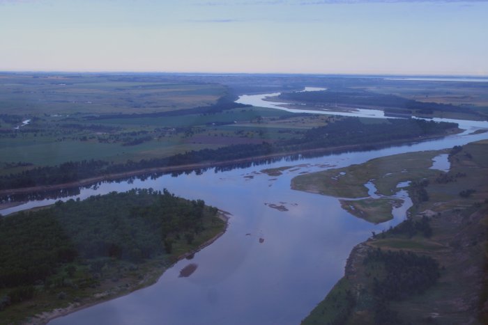
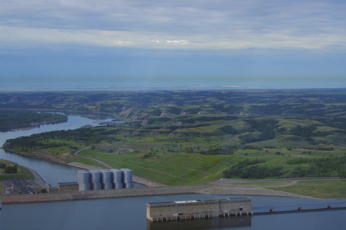
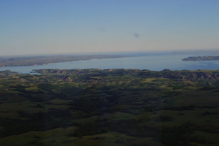
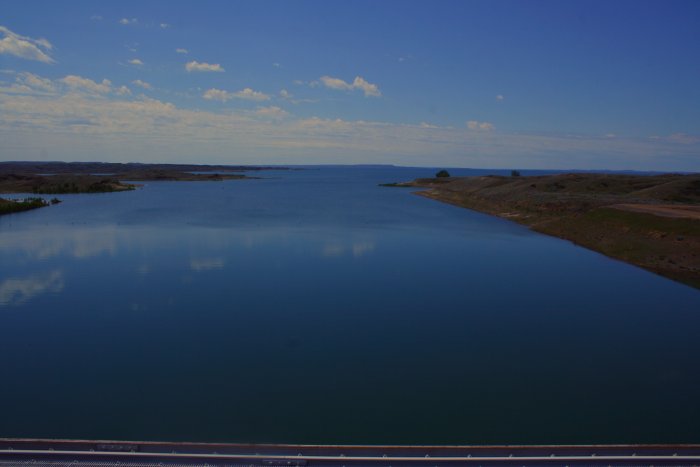
Looking back at a Garrison Dam which is responsible for the very big
and very long Lake Sakakawea.
Lake Sakakawea is a reservoir in the Missouri River basin in central
North Dakota. Named for the Shoshone-Hidatsa women Sakakawea,
it is the third largest man-made lake in the U.S. after Lake Mead and
Lake Powell. The lake averages between 2 and 3 miles in width
and is 90 miles long, from the dam almost to Williston. The
reservoir was created with the completion of the garrison Dam in 1956, the
second (and largest) of six main-stem dams on the Missour River built and
managed by the U.S. Army Corps of Engineers for flood control,
hydroelectric power, navigation and irrigation. |
|
 |
|
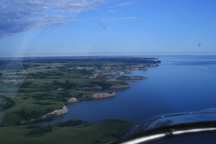
| You can see three wakes on the Lake to
the right; fishermen motoring to their favorite spots. |
|
 |
|
|
|
 |
|
|
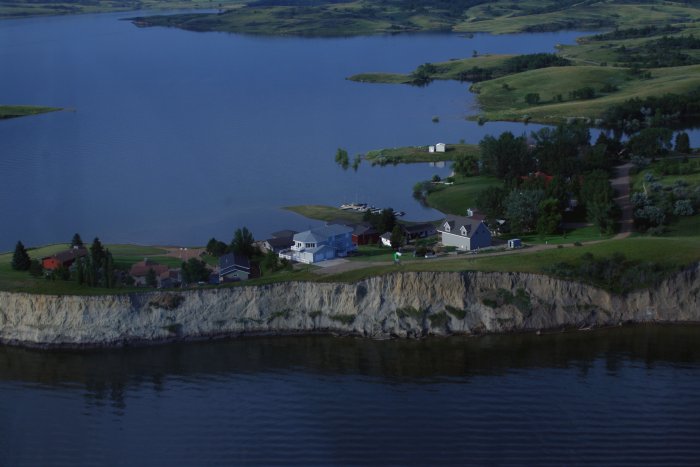
I thought these houses on a high promentory were kind of
interesting. Talk about waterview. |
|
 |
|
| I went inland a little bit to look at a
private strip -- not a lot to see, basically a dirt road -- and now I'm
heading back to the Lake. |
|
 |
|
|
The morning sun really lit things up. |
|
 |
|
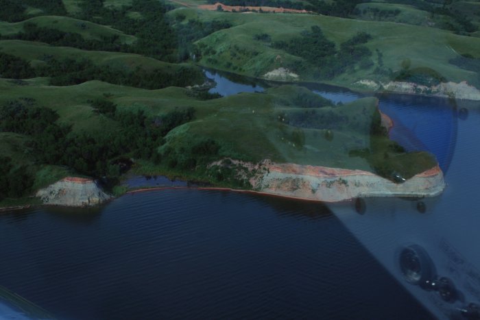
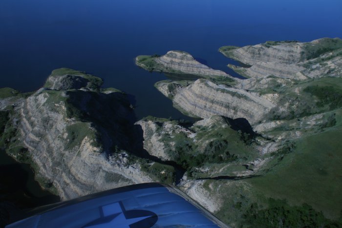
| Scenic cliffs. |
|
 |
|
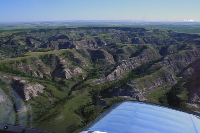
| Beautiful terrain. |
|
 |
|
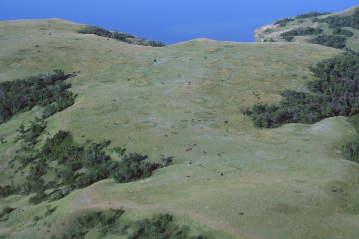
| The cows liked this high grassy plateau
by the lake. |
|
 |
|
|
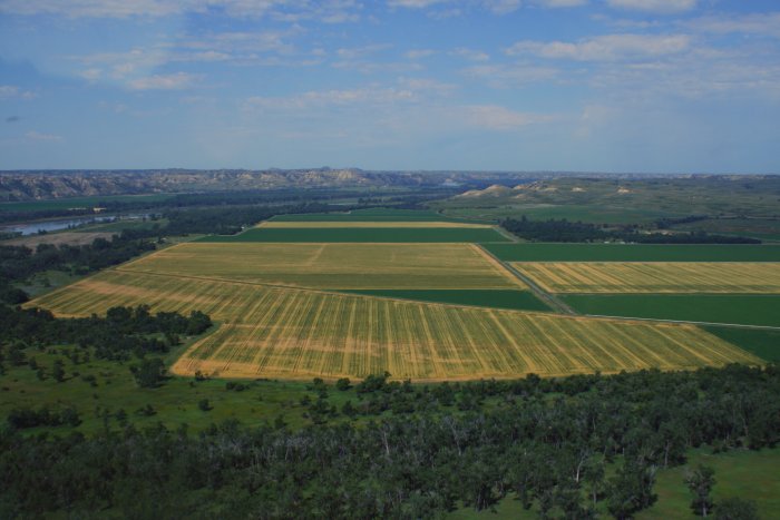
This plateau was so large, it was farmed
extensively. |
|
 |
|
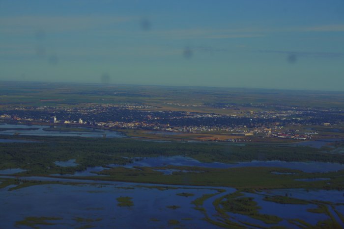
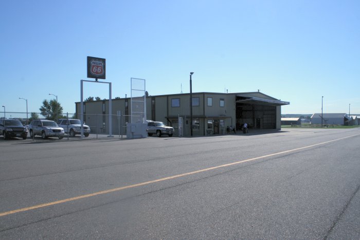
| Approaching Sloulin International
Airport near the town of Williston. Everyone on the Unicom frequency
just called it Williston which was a lot easier to say than Sloulin
International. |
|
 |
|
|
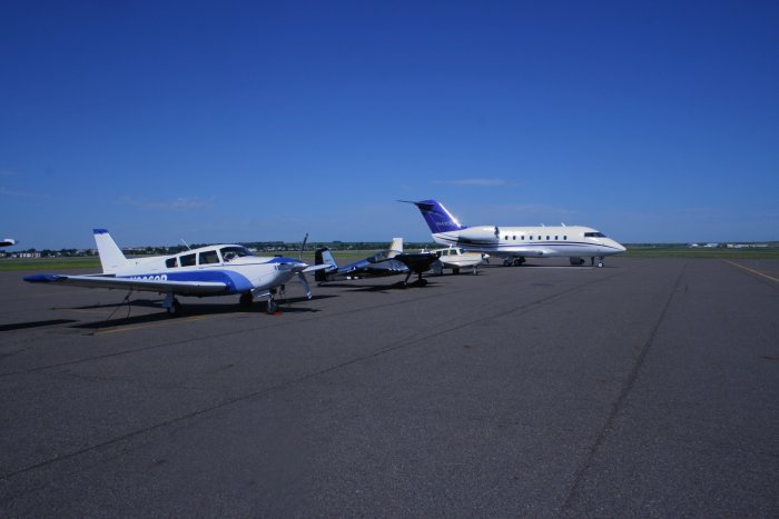
This airport has a lot of traffic probably due to its
strategic location. It's the biggest town for 100 mile radius.
My little RV is parked among some big boys.
|
|
 |
|
| The FBO office gladly lent me the
courtesy car. Just down the street was another Dakota Farms
restaurant. I liked it so much last night that I went there for
breakfast this morning! The hash browns are superior. |
|
 |
|
|
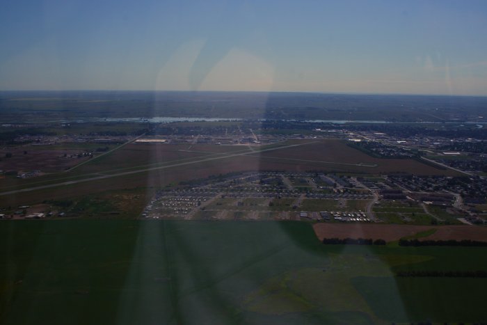
As you can see, Williston is a pretty good sized airport.
The river narrowed again just after leaving Williston. |
|
 |
|
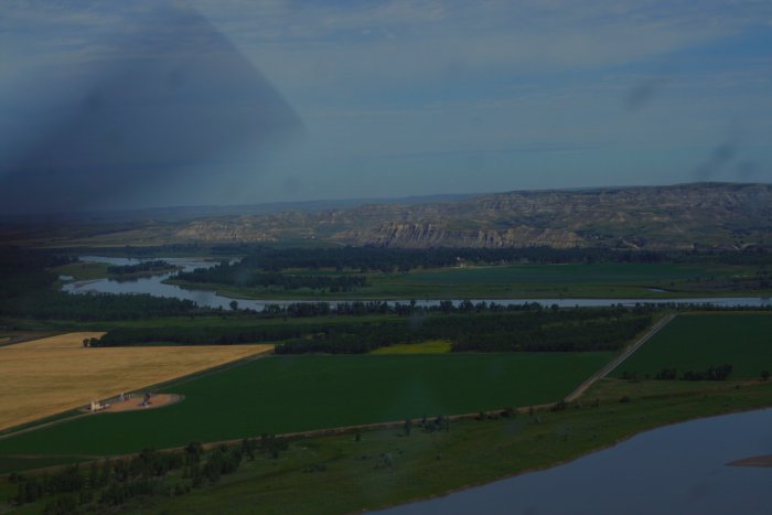
| Just up the river was the confluence of
the Yellowstone and Missouri Rivers. On their way back from Oregon,
Lewis and Clark split up with Clark exploring the Yellowstone while Lewis
came back on the Missouri. |
|
 |
|
|
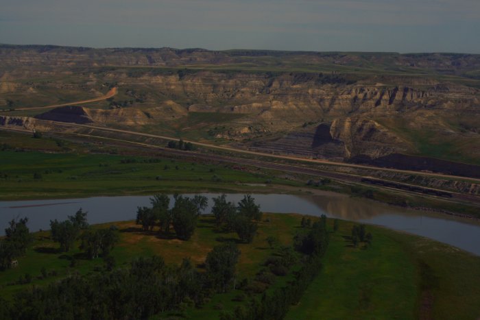
Looking south down the Yellowstone. |
|
 |
|
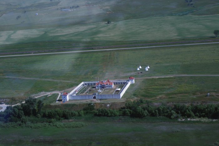
| A little ways further was Fort Union on
the north side of the Missouri River. How'd you like to be
stationed at some place like this; talk about remote! |
|
 |
|
|
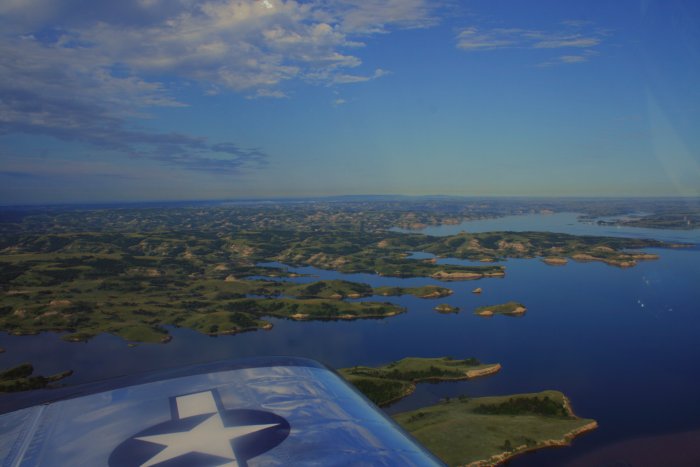
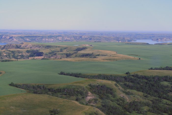
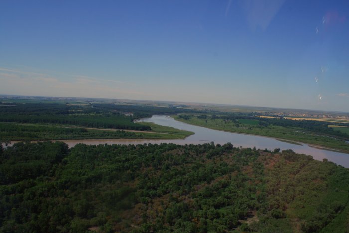
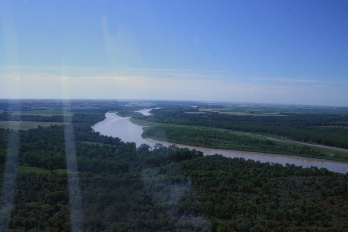
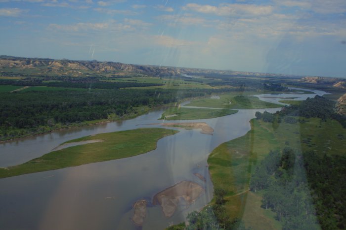
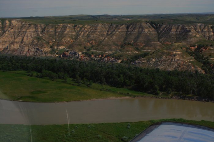
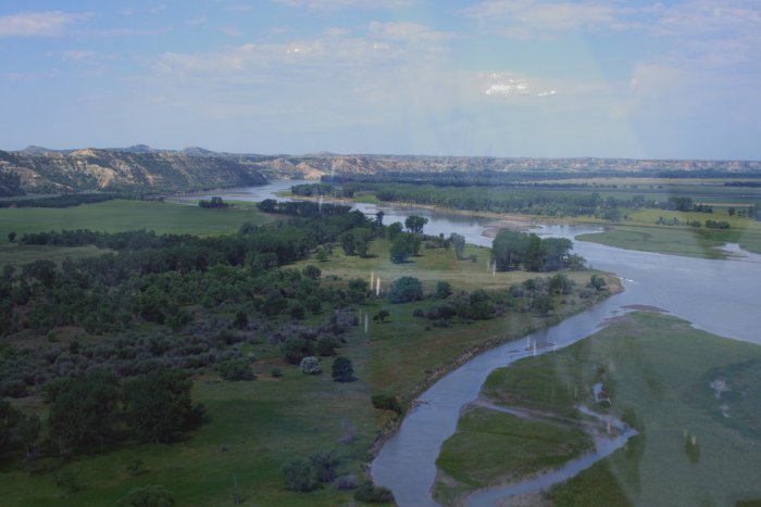
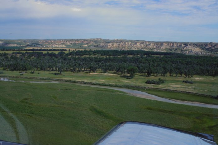
This stretch of river between Williston and Fort Peck
would be the most scenic of the entire trip so far. |
|
 |
|
| I'll let the scenary speak for
itself. |
|
 |
|
|
|
 |
|
|
|
 |
|
|
|
|
 |
|
|
|
 |
|
|
|
|
 |
|
| I was flying along the river when I saw
another airplane cross ahead of me. Getting closer, it looked like a
Citabria, about to land somewhere. I followed and watched him land
on this little turf strip. |
|
 |
|
|
|
 |
|
| Continuing on. |
|
 |
|
|
After a thoroughly enjoyable flight, I came to the Fort
Peck Dam. |
|
 |
|
|
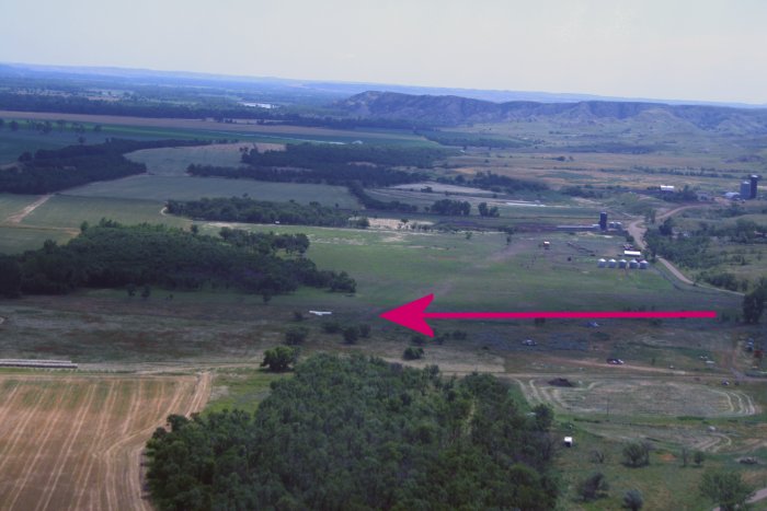
I had plenty of gas, but I was going to land at nearby Glasgow Airport
to clean the bugs off my canopy. Then I saw this grass field
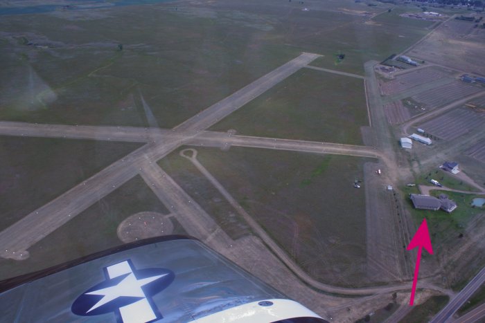
airport. It was a public airport -- Fort Peck (37S) -- so I decided
to land here instead.
I landed and taxiied over near the big hangar with the arrow pointing
to it. |
|
 |
|
|
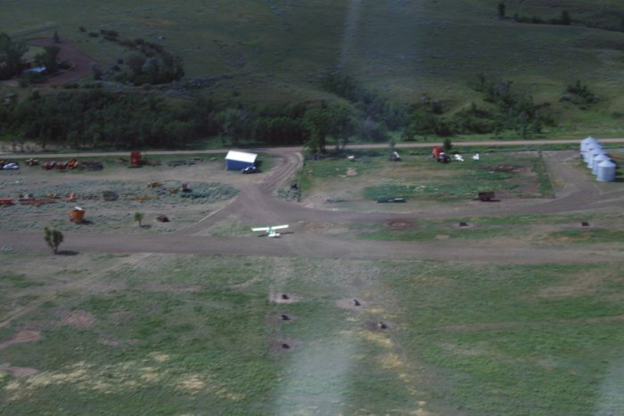
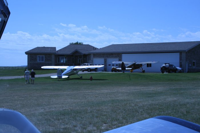
It turned out that this public airport is also an
airport community. The airport manager, Lanny Hanson, who lives
in this house invited me into his hangar, and gave me a driving tour of
the little town and out to the dam. The inside of the hangar, well,
let me just say it is probably the most awesome man-cave I have ever
seen. I told him how scenic the river I had just flown
was. He simply said, "it will get better".
|
|
 |
|
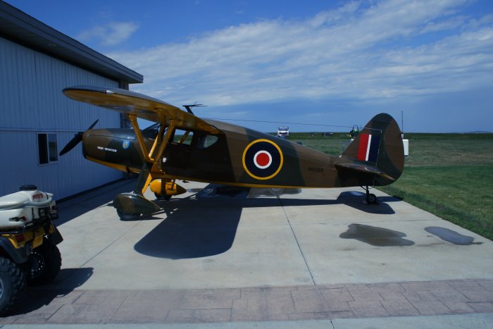
| Lanny owns this 1946 Fairchild 24 which he
would be flying to Oshkosh and, in fact, I did see it there in the Vintage
Parking area. |
|
 |
|
|
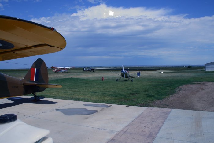
His son flies the polished Cessna 140. |
|
 |
|
|
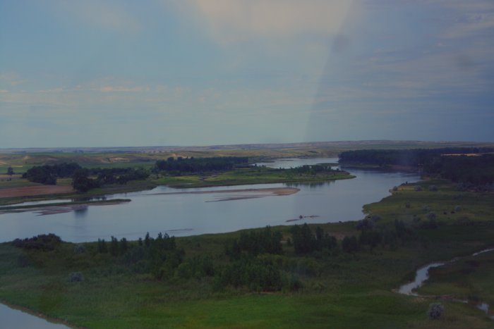
We drove through the small town of Fort Peck. Some of the houses
are from the officer housing from the building of the dam in the
1930s.
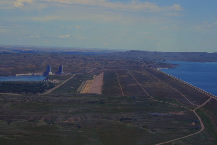
This is the view of the reservoir from the dam. |
|
 |
|
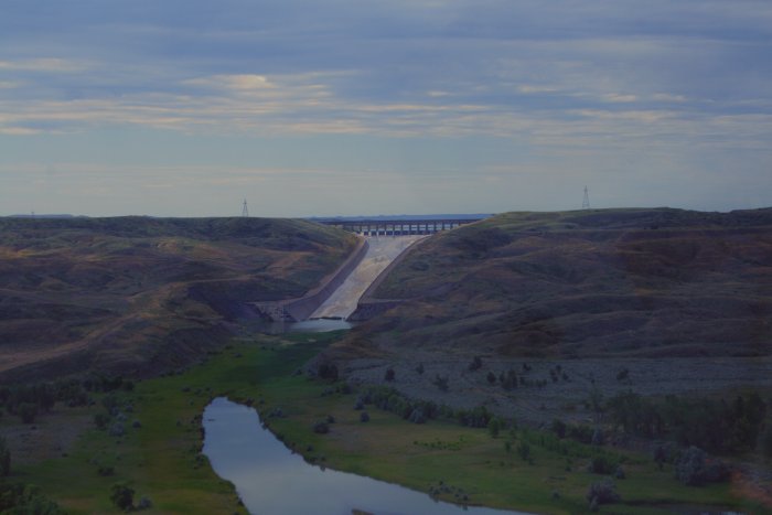
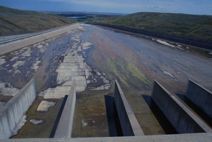
| And looking the other way, this is the
spillway looking fromt he dam. It looks a lot bigger from the ground
than it did in the air. |
|
 |
|
|
I thanked Lanny for his hospitality and departed after making the
obligatory low-pass. Here is a view of the Fort Peck dam from the
side.
The Fort Peck dam is the highest of the six major dams along the
Missouri River. It is the largest hydraulically filled dam in the
United States, and creates Fort Peck Lake, the fifth largest man-made lake
in the U.S.
Fort Peck was a major project of the Public Works
Administration, and a part of the New Deal. Construction of
Fort Peck Dam started in 1933, and at its peak in July 1936 employed
10,546 workers. The dam, named for a 19th-century trading post, was
completed in 1940, and began generating electricity in July 1943. The town
of Fort Peck, Montana, "the government town," was built for Army
Corps of Engineers personnel and men in "positions of responsibility" and
their families during the dam's construction. Many of the facilities that
supported the dam's workers are still utilized today, such as the
recreation center and the theater. |
|
 |
|
|
|
|
|
|
|
|