July 20, 2010 - Nebraska City to South Dakota
border |
|
It had stormed fairly hard overnight -- in fact, it was raining when I
first arrived at the airport -- but the RV was fine, albeit a little
wet.
Unlike the Oregon Trail trip, I didn't have to make crack-of-dawn
takeoffs, thanks to the RVs speed plus the fact that I had a lot of extra
time to get to Idaho. I arrived at the airport around 8AM.
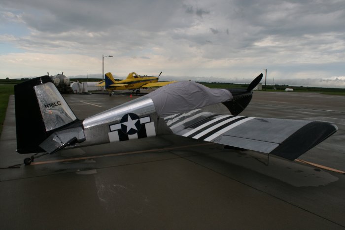
The airport was busy when I arrived. A state-of-the-art
turbo-prop cropduster was getting refilled with chemicals and fuel.
A little patrol helicopter flew in for fuel. I talked for awhile
with the FBO manager. Checking weather on their computer, things
looked promising for the next 3-4 days which was reassuring.
Yesterday was just transit to get in position. Today I would be
really starting the journey into never before seen territory, having fun,
flying the river and sightseeing. |
|
 |
|
|
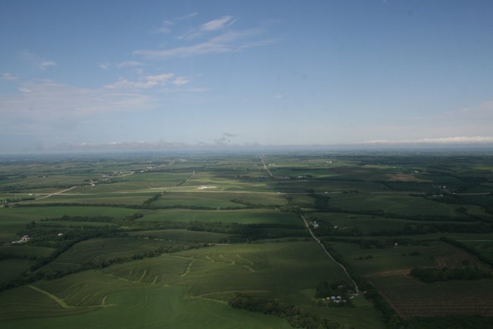
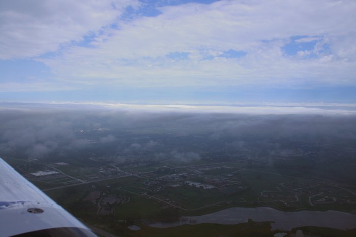
Looking to the west after takeoff with airport in the
center. |
|
 |
|
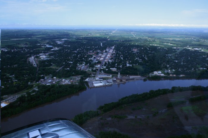
| The small town of Nebraska City on the
Missouri River. |
|
 |
|
|
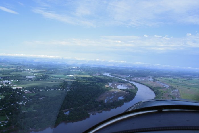
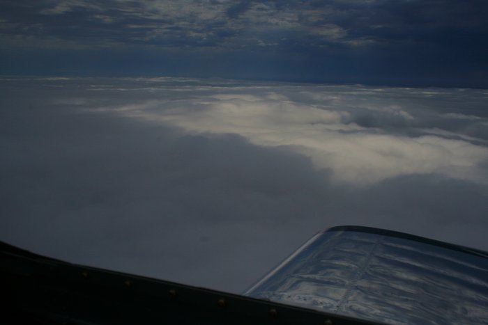
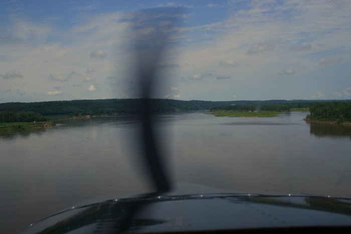
I followed the river north for a short while then noticed
a low layer ahead. |
|
 |
|
| This was really strange. I was
only about 1000 feet high. I was approaching an overcast layer where
the top was 800 feet and went down to about 400 feet. I didn't want
to fly under it. I could easily fly over it, but how far did it
extend? The XM weather came in handy here. I was able to
look up the current weather conditions at an airport 20 miles ahead on the
river. It had practically no cloud cover at all. So I figured
the undercast layer would end soon and that I could safetly fly over
it. |
|
 |
|
| Cruising above the layer.
Omaha/Council Bluffs was off my right wing although I never saw it.
|
|
 |
|
| Sure enough, the undercast started
breaking up north of Council Bluffs. |
|
 |
|
|
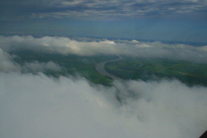
Back over the MIssoui River. |
|
 |
|
|
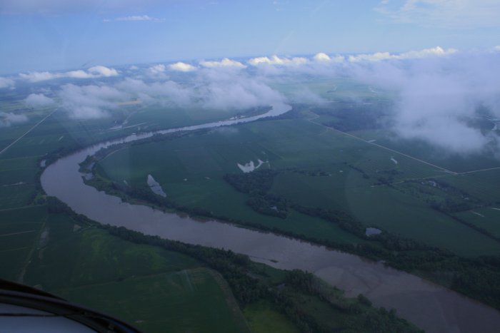
Now for some serious river flying. The sun was out and it was a
beautiful flying day.
The objective today was not go to go fast, but to take my time and
enjoy the scenary. I throttled back the RV to about 19-20 MP and
2000 RPM, which lowered my speed to about 130 mph and fuel consumption to
6 gallons per hour or so. |
|
 |
|
|
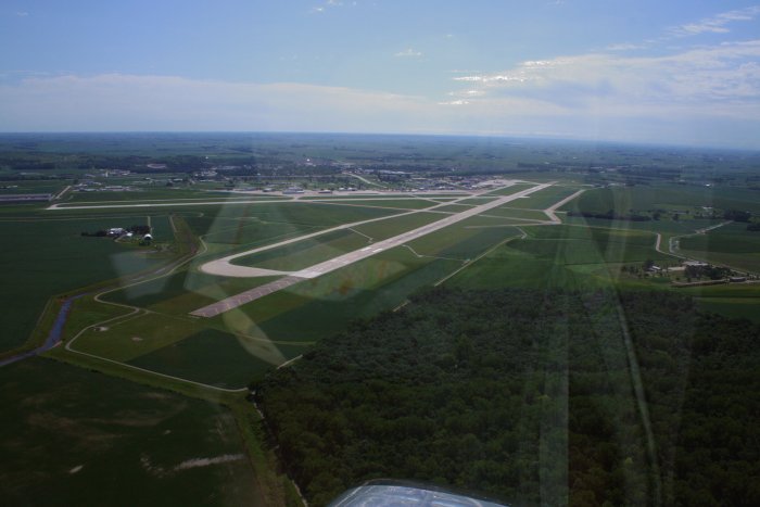
Sioux City's towered airport was right off the river so I
called them up and got a transition through their airspace. It was
no big deal; there was no activity at the airport while I transited
through. |
|
 |
|
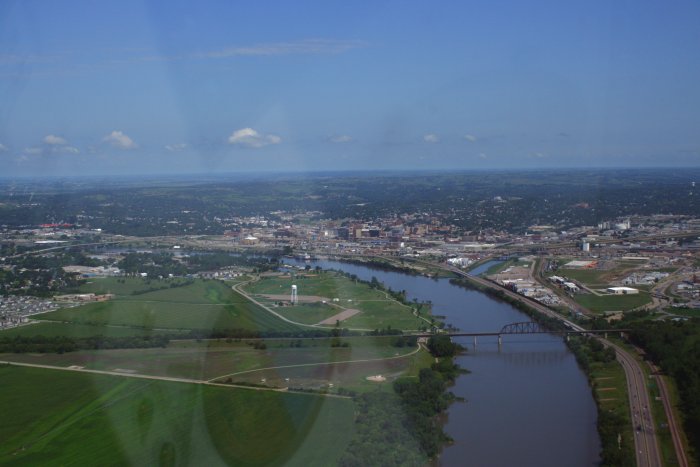
| Sioux City. |
|
 |
|
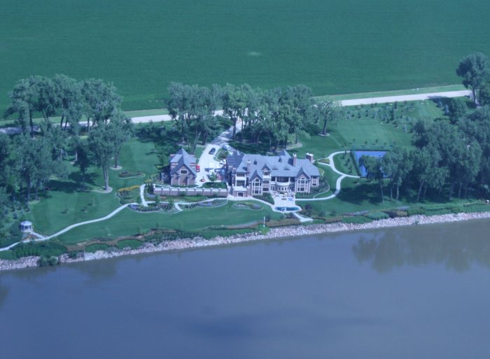
| A nice mansion overlooking the
river. |
|
 |
|
|
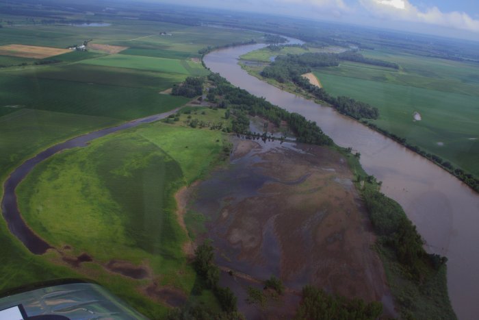
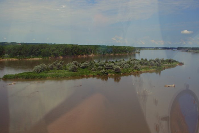
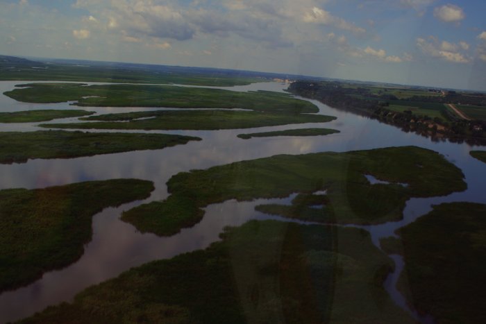
The river segment between Sioux City and Yonkton would be one of the
best stretches of the entire trip because the river is pretty much the
same as when Lewis and Clark transited through. There are no
dams or much civilization.
I had fun going down low and following the
river. |
|
 |
|
|
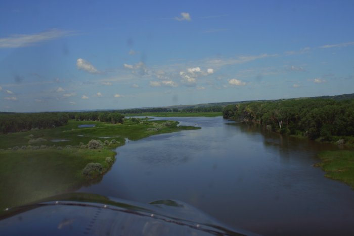
Down low, I could imagine what Lewis and Clark saw from
the top of their riverboat. |
|
 |
|
|
|
 |
|
|
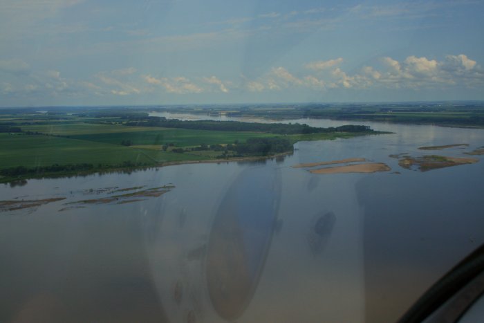
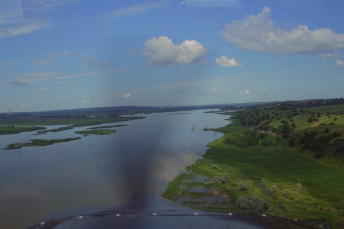
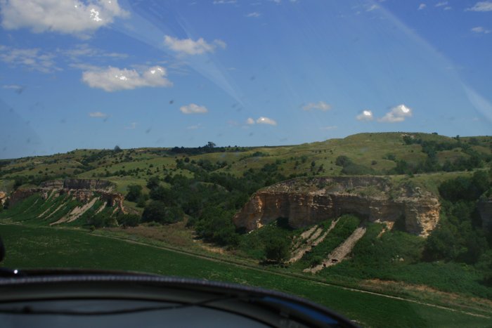
All too soon, the nice strech of the river ended with the
first dam around Yoncton, followed by Lewis and Clark Lake.
"The pre-development Missouri River as documented Lewis
and Clark was considerably different from today's river. The historic
Missouri was a broad, slow-moving, shallow river with braided channels.
These past river conditions created a haven for wildlife, which included
vast floodplain forests of giant trees, marshes, and even wet prairies.
Today's river is channelized. It is deeper and faster, and controlled by
levees, dikes, and other containment structures. These controls make the
river more navigable and the surrounding floodplain ideal for
agriculture." -- Wikipedia |
|
 |
|
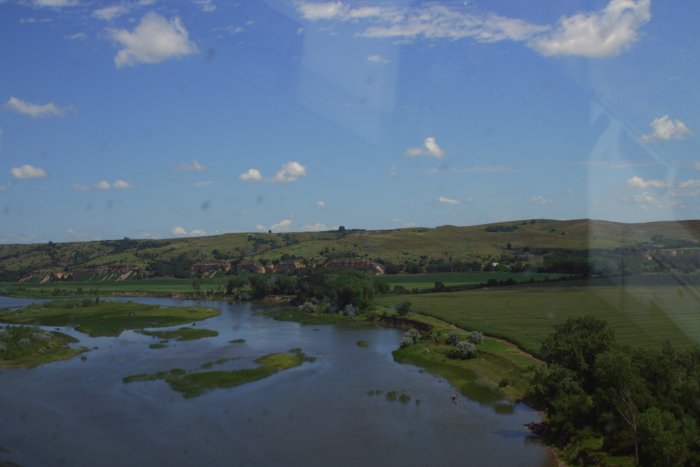
| Despite the dams, the river was very
scenic. |
|
 |
|
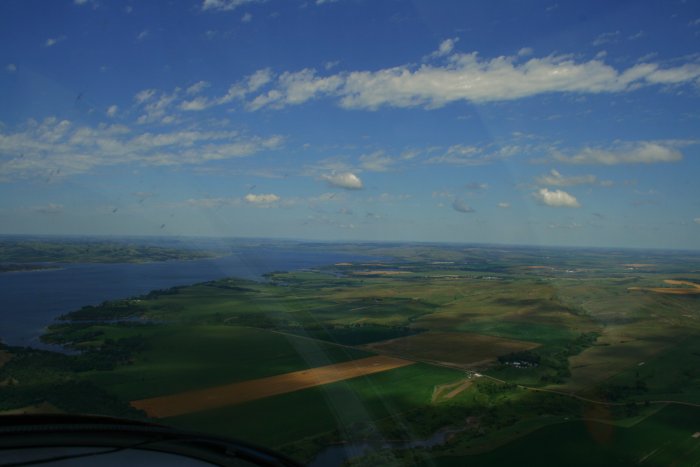
| The surrounding country was very green
at this point. |
|
 |
|
|
|
 |
|
|
|
|
 |
|
|
|
 |
|
|
|
|
 |
|
|
|
 |
|
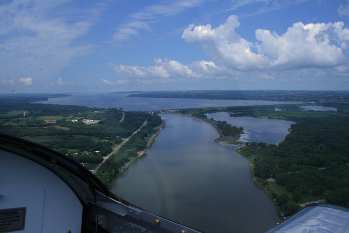
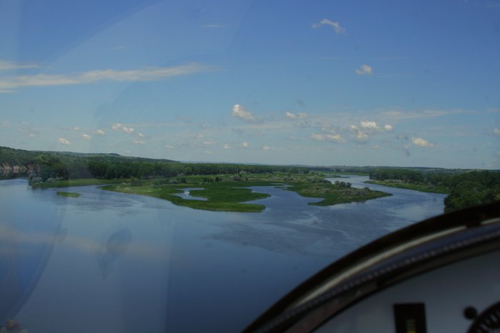
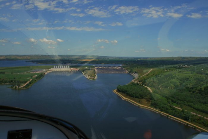
| The second dam around Pickstown on the
Nebraska-South Dakota border. |
|
 |
|
|
|
 |
|
| |
|
|
|
|
|
|
|