July 19, 2010 - First Day Transit to Nebraska City
The RV has proven itself, with just over 200 hours on the Hobbs meter. Prior to the flight, I did sort of a mini-annual, changing the oil, greasing the tailwheel post, and making sure the tires were fully inflated. Something was wrong with the oil temperature sensor -- it had been reading about 30 degrees low -- so I replaced that. Everything else was working 4.0.
The plan was to take off at dawn, arrive at Creve Coeur, Missouri by 1:30 PM, spend a few hours visiting their antique airplane museum, then continue on to the Nebraska-Missouri border.
I realized the night before there was no point in getting up early, because there would be an overcast that wouldn't burn off until 10AM or so. So I got to sleep in and eat one of Lynnette's big breakfasts. I ended up taking off from Essex around 11AM.
I had an appointment for a museum tour at Creve Coeur airport -- just west of St. Louis -- at 1:30PM. I called and moved it to 3PM (4 PM East Coast time). I thought I could still make that despite the late start.
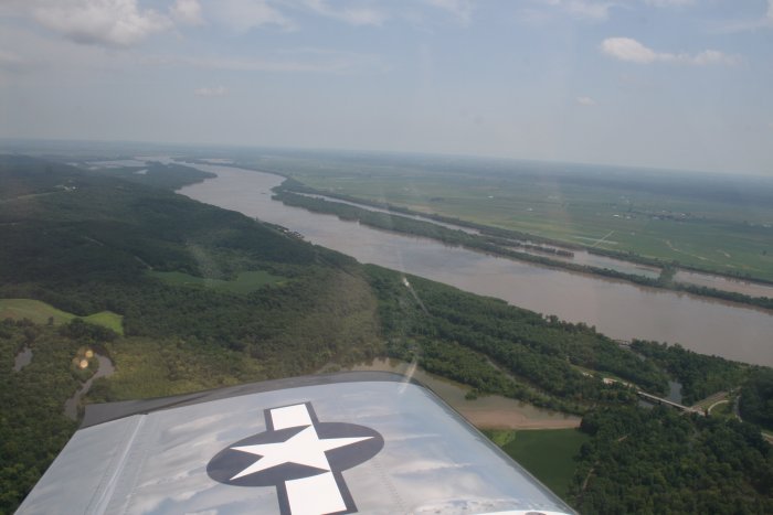
Today was a travel day -- no real sightseeing involved until I got to the St. Louis area. My plan was to get high and go fast. But not surprisingly on a westerly journey, there were headwinds. I climbed to 8,500 feet but could only make about 170 mph groundspeed. (Note: How quick they forget. The max groundspeed I enjoyed in the Citabria on the 2006 Oregon Trail flight was 125 -- and that was on the last day with a healthy tailwind!)
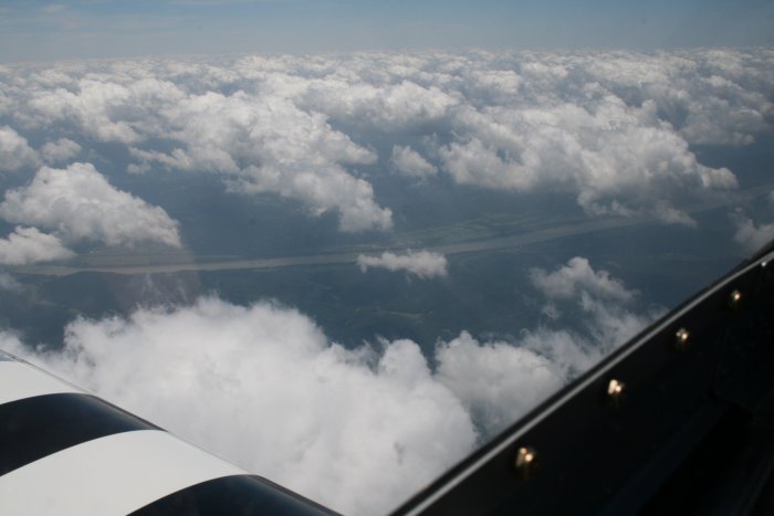
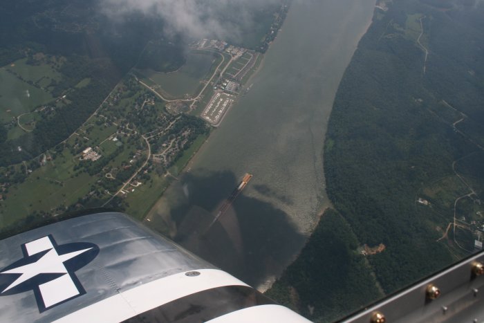
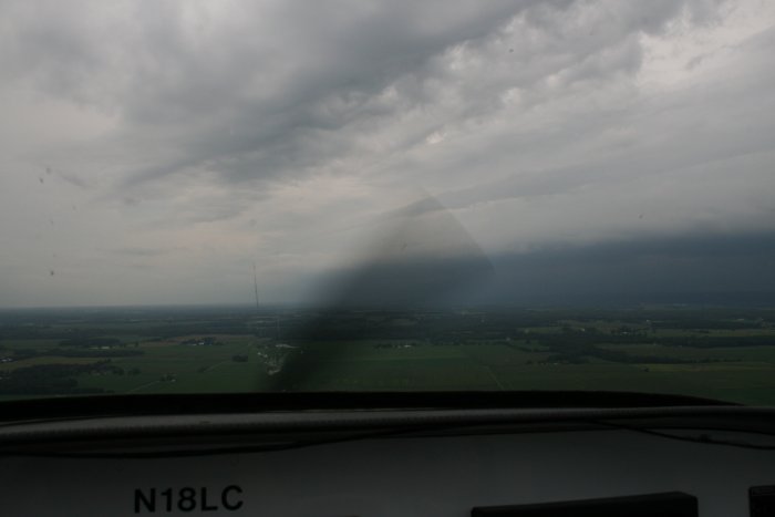
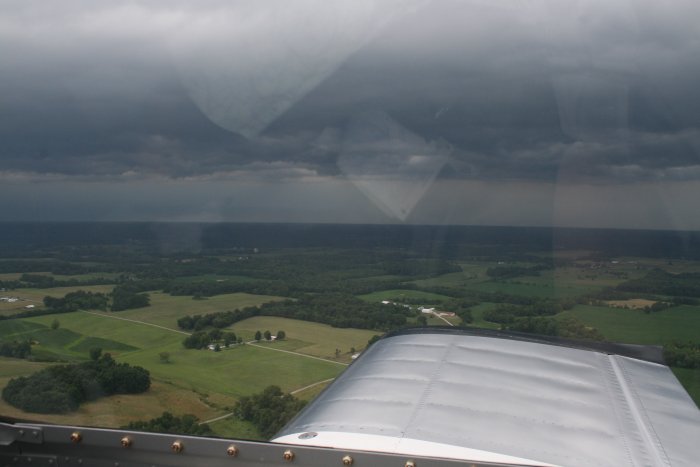
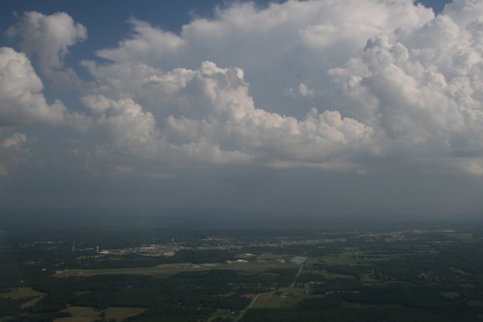
I still had a chance to make Creve Coeur on schedule when I started noticing weather on my newly hooked-up XM weather displayed on the GPS. A long cell was between me and my destination, so I altered course by 15 degrees to the south.
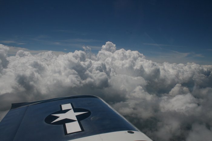
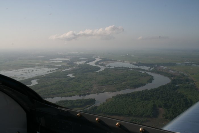
After awhile I didn't need the GPS to see the nasty weather. I was paralleling the storm. Off my right wing about 25 miles away I could see dark clouds and lightning bolts.
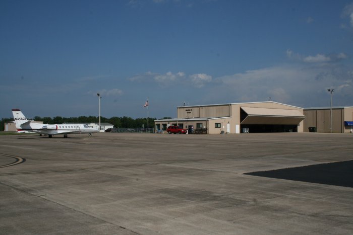
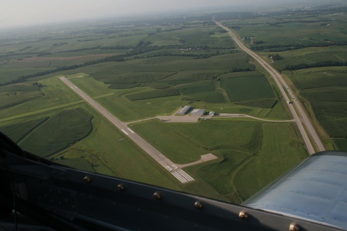
Yes! There was a courtesy car with keys inside. The airport was deserted -- not surprising at a small airport at 8PM.
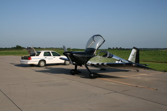
It took me awhile to unload the airplane and get it secured for the night. There was a good chance of bad weather tonight so it was important to get the RV tied down securely. I was a long way from home and the RV is my ride home!
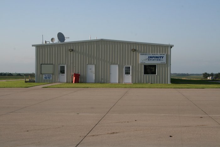
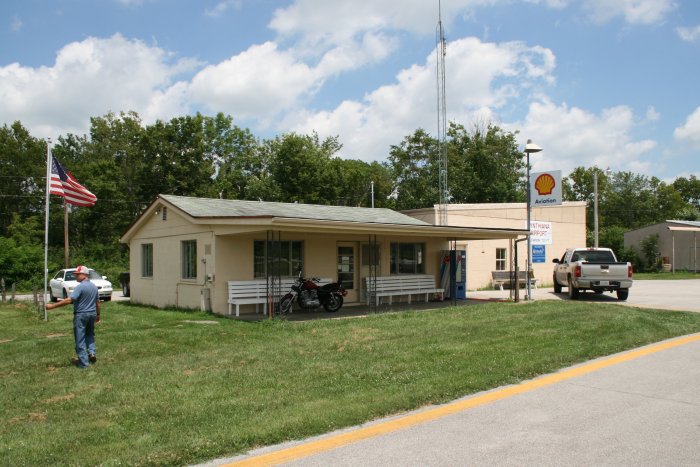
The FBO Building.
The town was only a few miles to the north. As I entered the town, I saw a little strip motel where I got a room for $50. I had dinner at a Mexican restaurant and drank lots of lemonade.