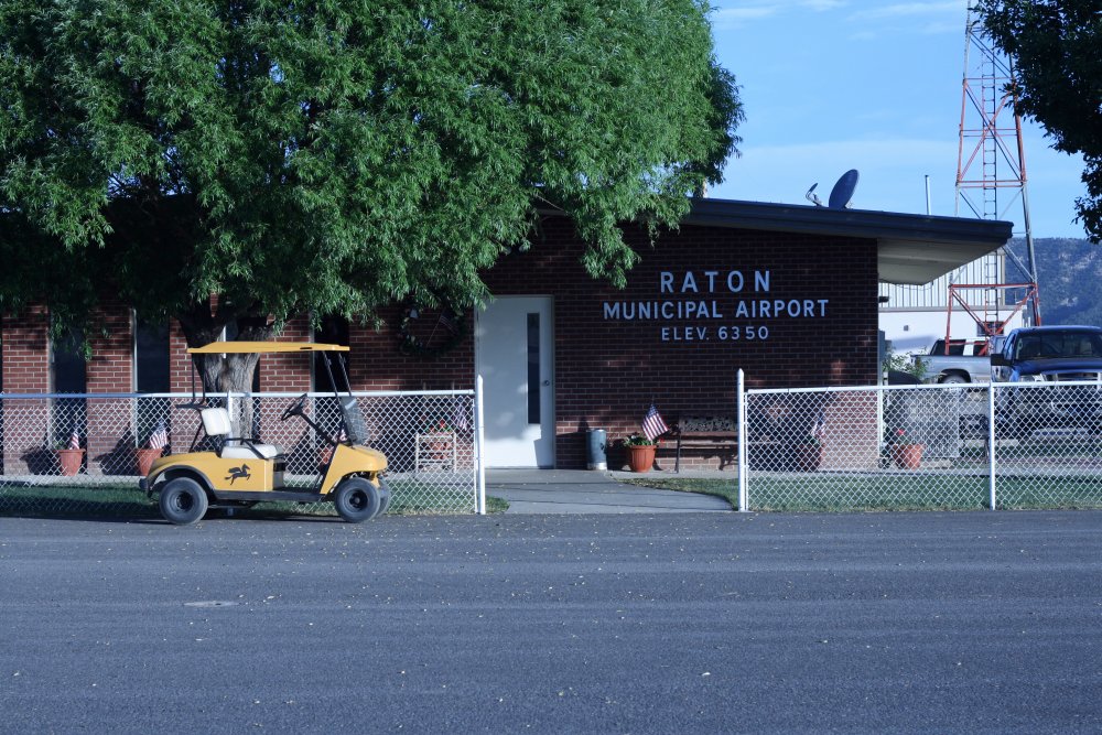
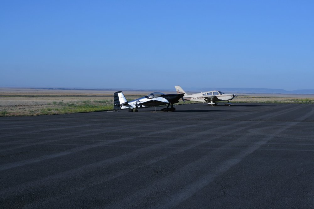
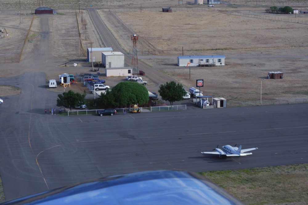
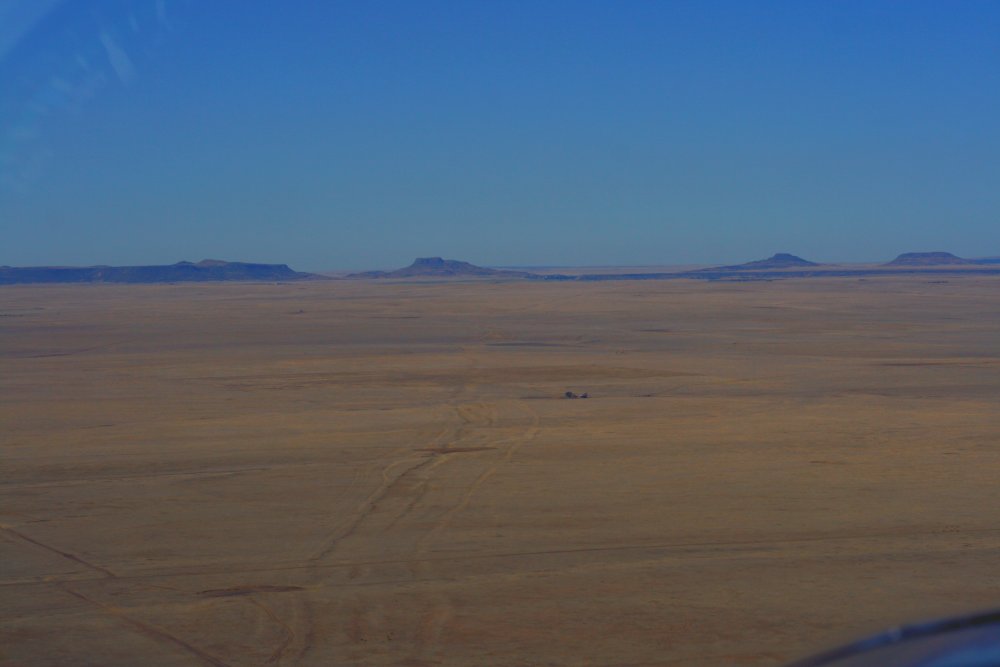
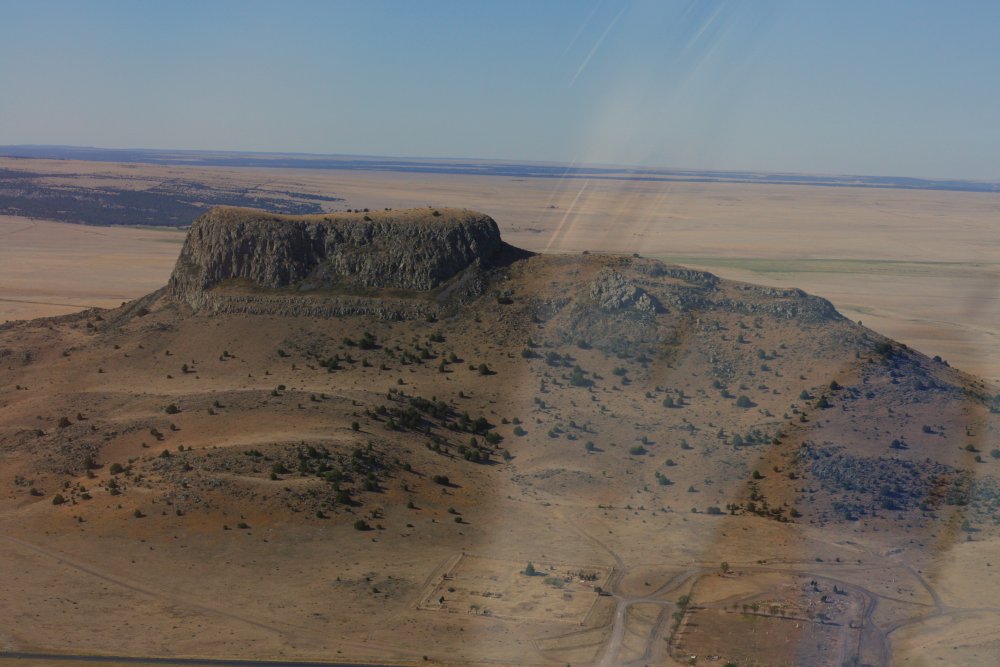
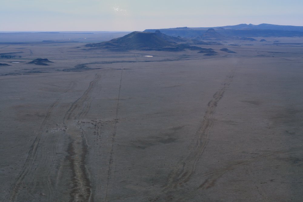
June 25, 2011 - Raton, NM to Santa Fe, NM

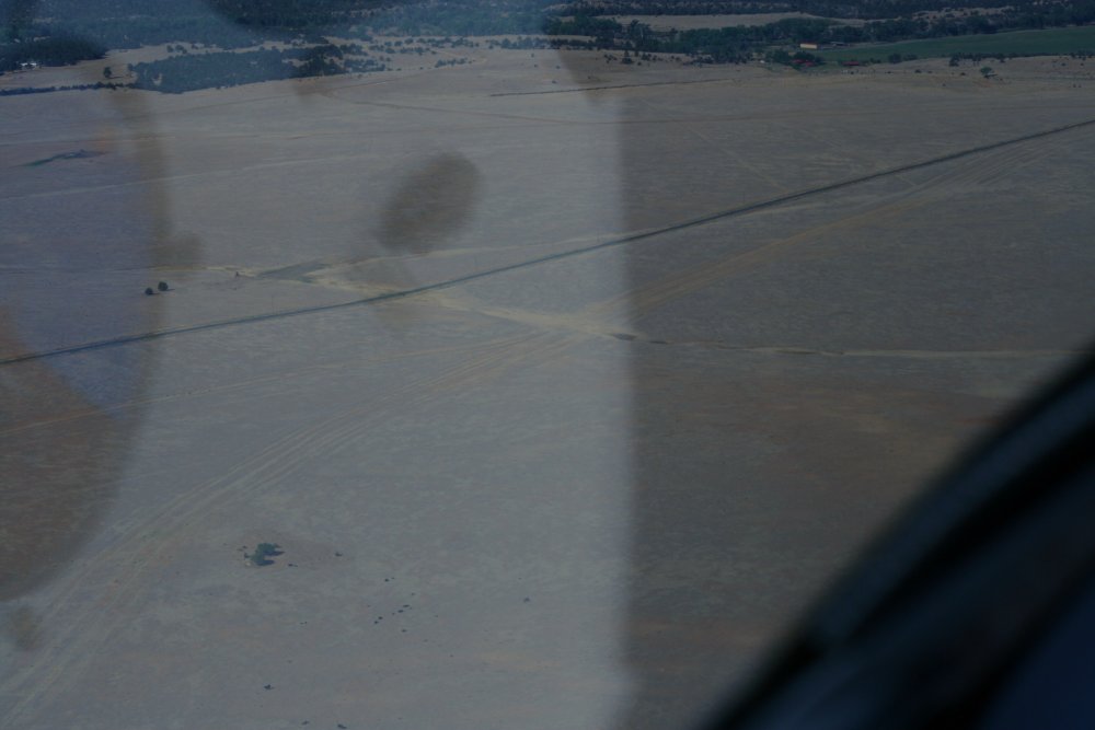
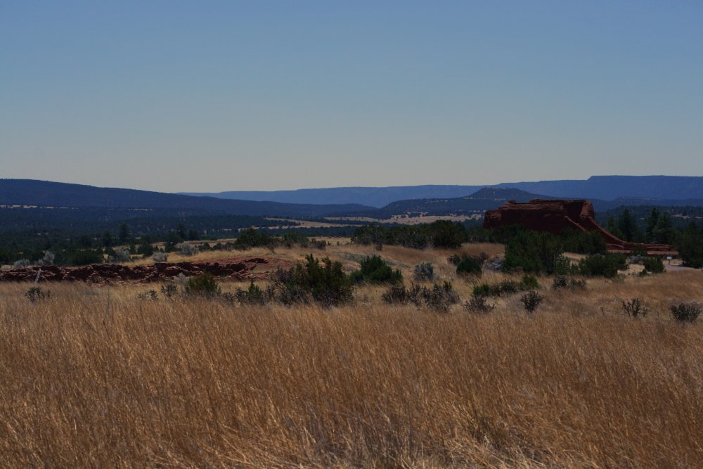
A close up of Watrous.
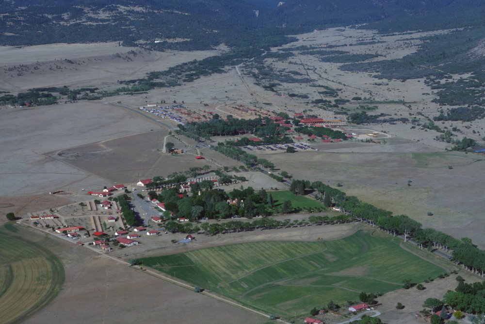
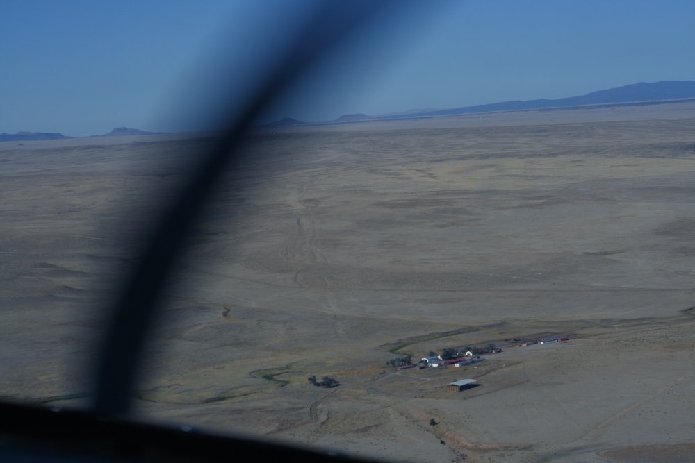
Fort Union is around here somewhere but I did not fly over it.
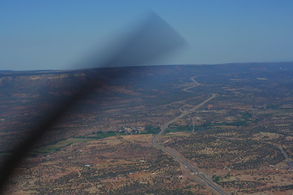
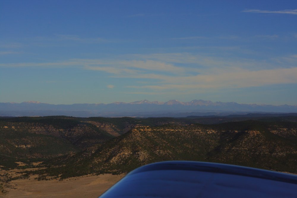
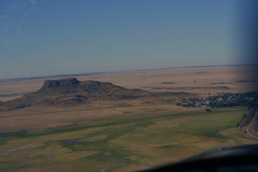
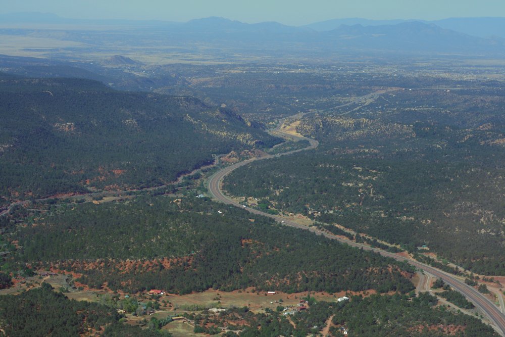
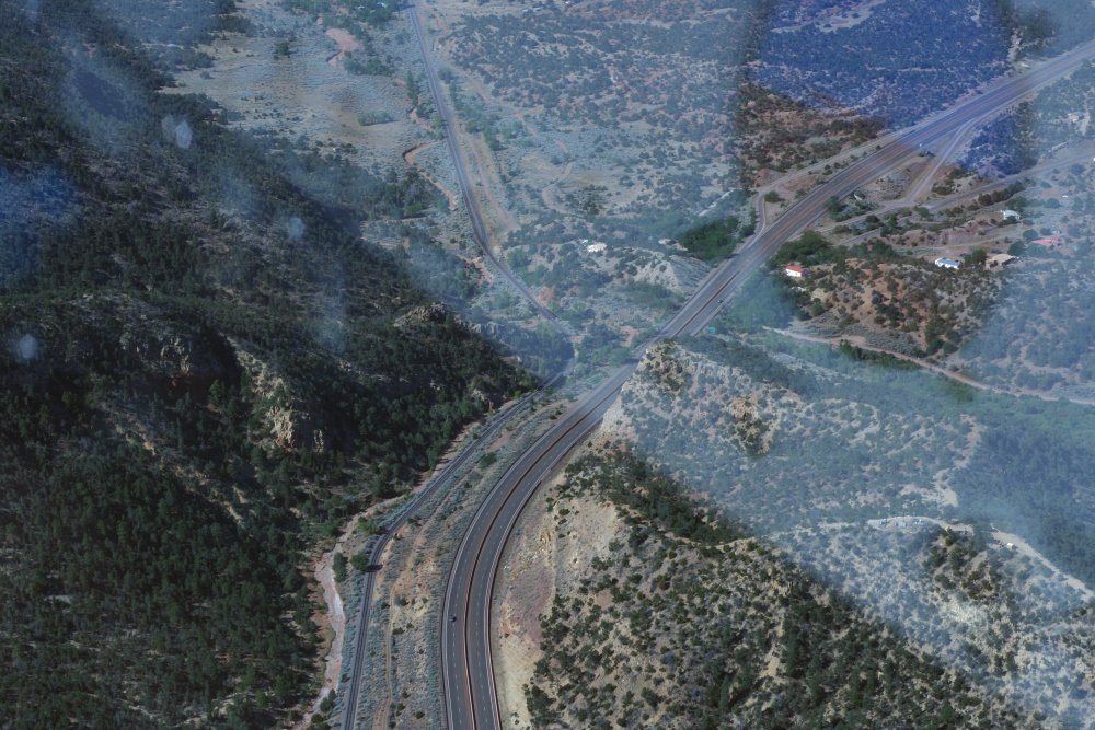
Approaching Apache Canyon - so named because the Apaches ambushed wagon trains there. I wanted to see it because it is a very historical spot.
In 1846, during the Mexican-American war, President James K. Polk sent a U.S. force under General Stephen W. Kearny to capture Santa Fe and the territory of New Mexico and then to go west to take Arizona, parts of Colorado, Utah and Nevada, and finally the big prize: California. The Mexicans under Governor Don Manuel Armijo set up a defensive position in Apache Canyon with a force that outnumbered Kearny's two to one although the Mexican forces were untrained and ill-equipped. Significant Mexican reinforcements were enroute up the Rio Bravo. But at the last minute, Armijo suddenly disbanded his forces, abandoned the position, gathered up as much of his wealth and possessions he could transport and fled. Kearny rode into Santa Fe without a fight, raised the US flag and declared the territory for the United States.
One wonders how different U.S. history might have been had the Mexican commander been a professional soldier. One of the US officers said "Apache Canyon was a gateway which, in the hands of a skillful engineer and one hundred resolute men, would have been perfectly impregnable. Had Armijo possessed the slightest qualifications for a general, he might have given us infinite trouble."
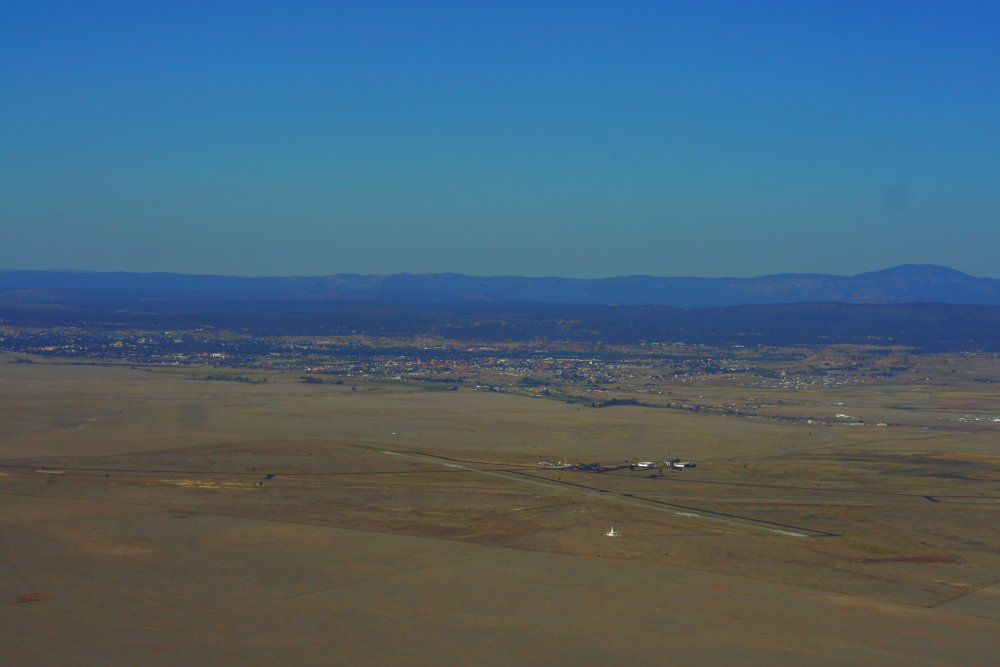
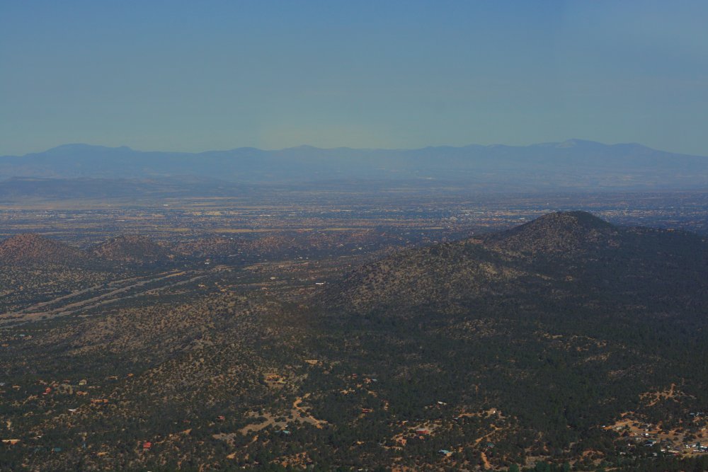
And on the other side, I see the city of Santa Fe for the first time.
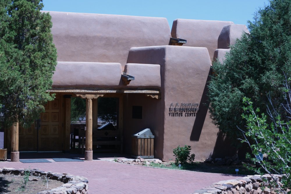
Santa Fe has a fairly good size airport with a Control Tower. I made a nice landing and then parked in the FBO area. I picked up my rental car which I had arranged for previously and headed back towards Apache Canyon. I had about four hours in which to sightsee before I had to pick Lynnette up at Albuquerque International Sunport.
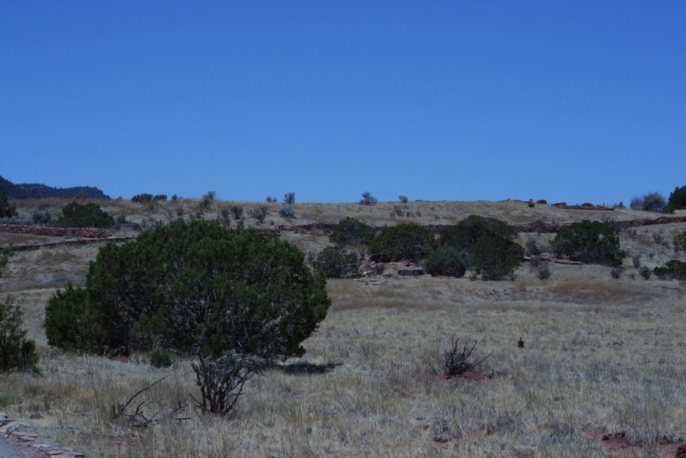
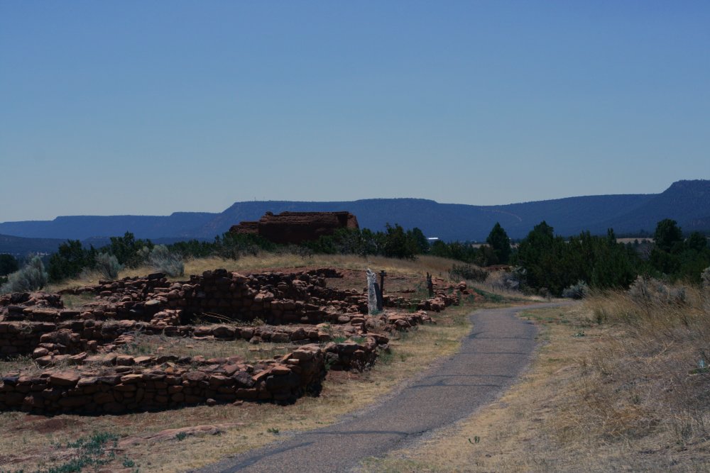
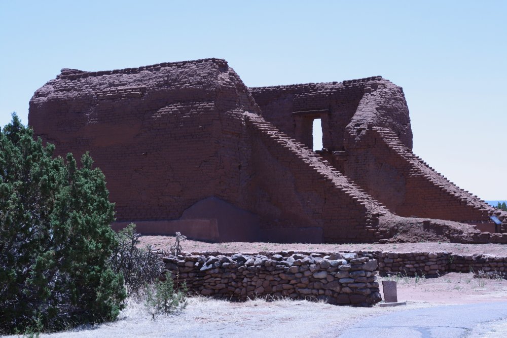
There isn't too much left of the Pueblos.
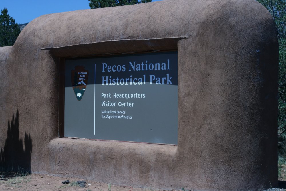
The Pueblo Indians began building the rock-and-mud pueblos around 1100. By the time the Spanish conquistador Coronado came through in 1540, the pueblos were five stories high. The Spanish built the first church in the early 1600s. The Pueblos threw the Spanish out in 1680 but the Spanish came back for good twelve years later. A second church was built on the first one's ruins. Gradually the population of Pecos declined until it was almost a ghost town when the Santa Fe Trail trade began flowing in the 1821. The church and pueblos were abandoned by 1838.
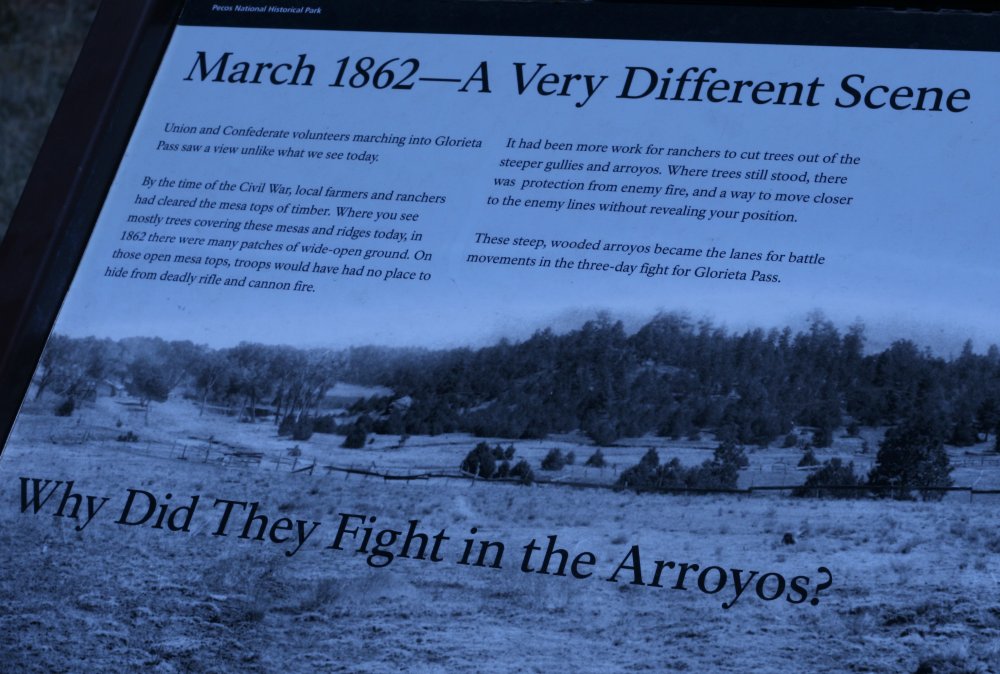
A ranger at the Visitors Center gave me directions to the Glorieta Pass Battlefield and the combination to the gate lock. I drove there and hiked the loop trail through the battlefield area.
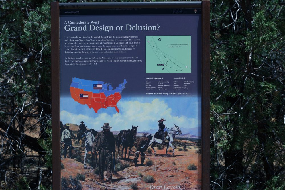
"Less than twelve months after the start of the Civil War, the Confederate Government took a bold step. Troops from Texas invaded the Territory of New Mexico. They wanted to capture silver and gold mines and recruit more troops in Colorado and Utah. Then a larger rebel force would march west to seize the ocean ports in California. "
The Confederate forces won a battle at Valverde, south of Albuquerque, and then occupied Albuquerque and Santa Fe. Short on supplies, they headed east towards Fort Union but ran into Union forces in Glorietta Pass. During the fighting at Glorietta Pass, the Union split their forces and sent 500 troops around the Confederate flank. By chance, the union forces discovered the main Conferederate supply base near Apache Canyon and destroyed all the Confederate supplies, wagons, horses and mules. Despite winning the battle in the Pass, without supplies the Confederates had no choice but to retreat back to Texas.