June 23, 2011 - Booneville, MO to
Great Bend, KS |
|
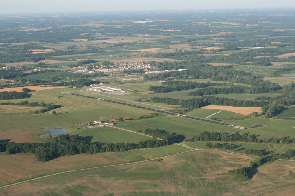
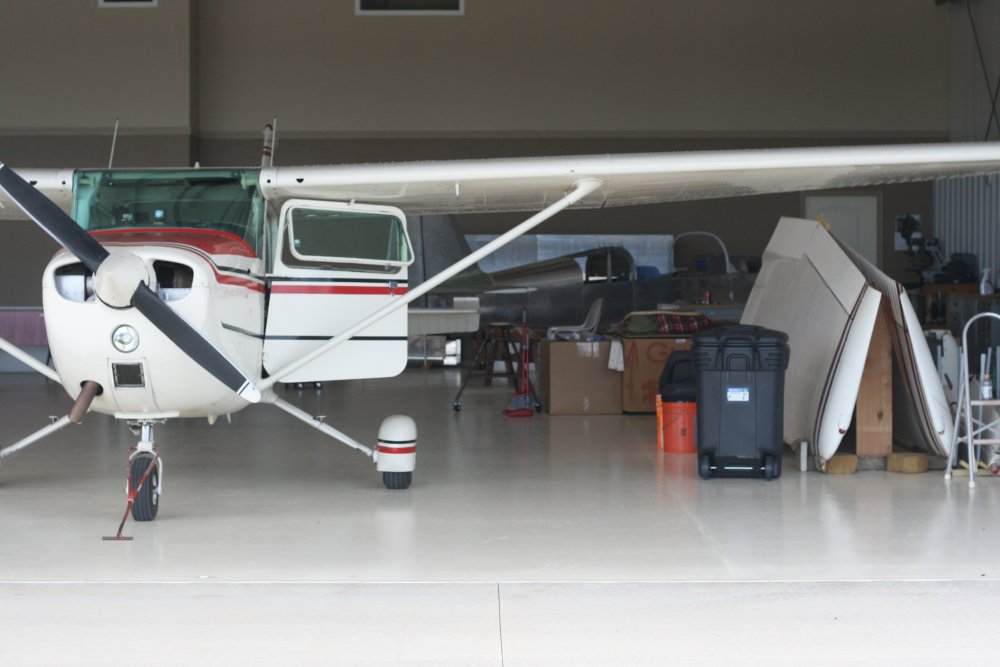
I got an early start, taking off around 7AM. Here is a shot of the
Booneville airport.
I found out later that in the early days of the Santa Fe Trail, Booneville
was the easternmost terminus. So you could make a case that today was the day
I started out on the Santa Fe Trail. |
|
 |
|
|
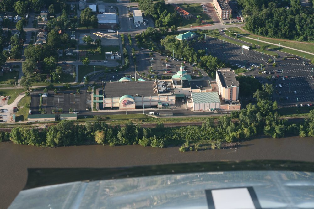
Booneville has an Indian Casino along
the banks of the Missouri. |
|
 |
|
|
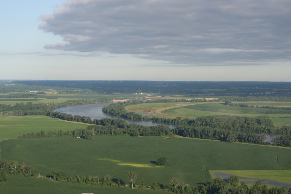
But rather than look for ruts, I stayed down low and
followed the Missouri River. Early in the morning heading west in the smooth air,
the sun behind my back lit everything up. I had considered the
pre-Kansas City part to be just transit, but it turned out to be quite
beautiful and as much fun flying as I had the entire trip. |
|
 |
|
|
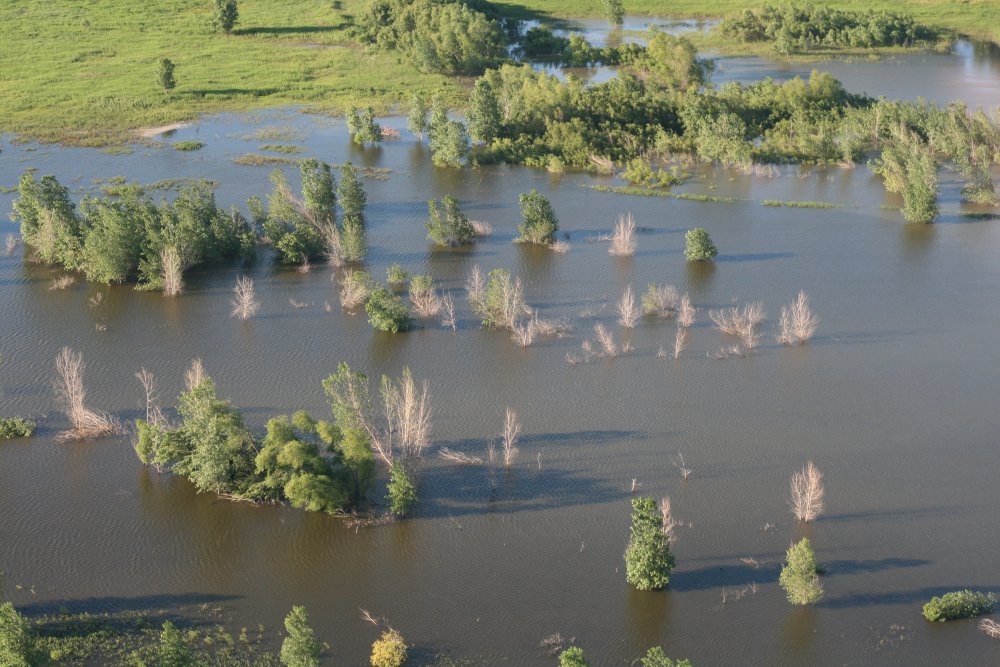
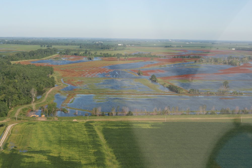
The river had overflowed all over
the place. |
|
 |
|
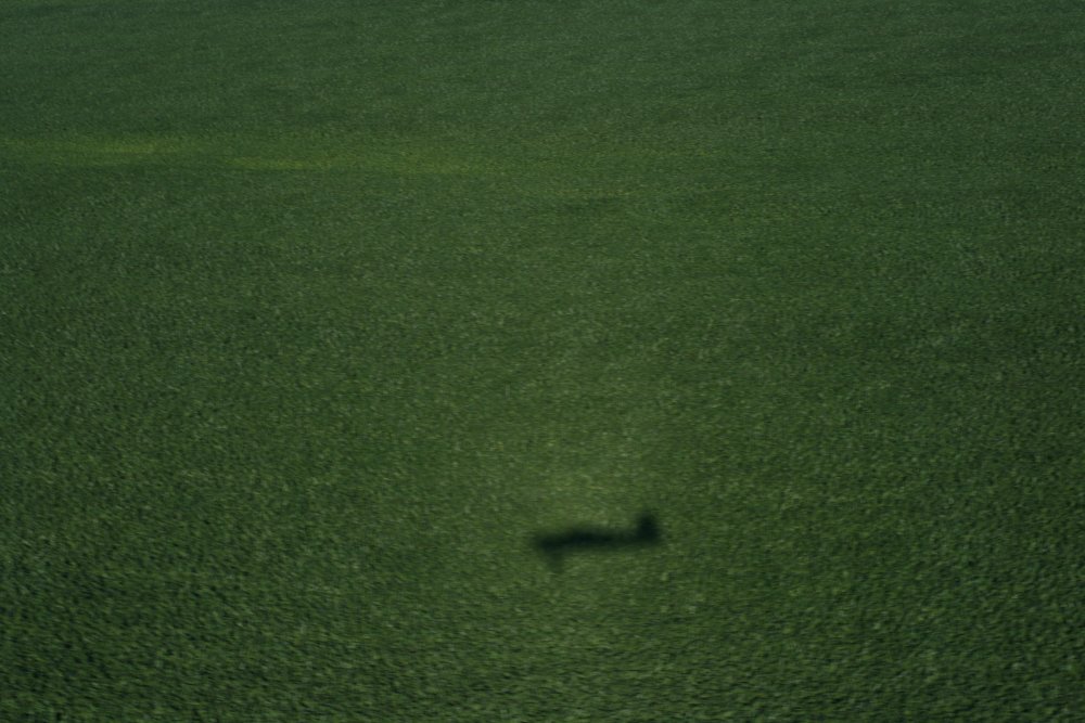
| A little shadow action. |
|
 |
|
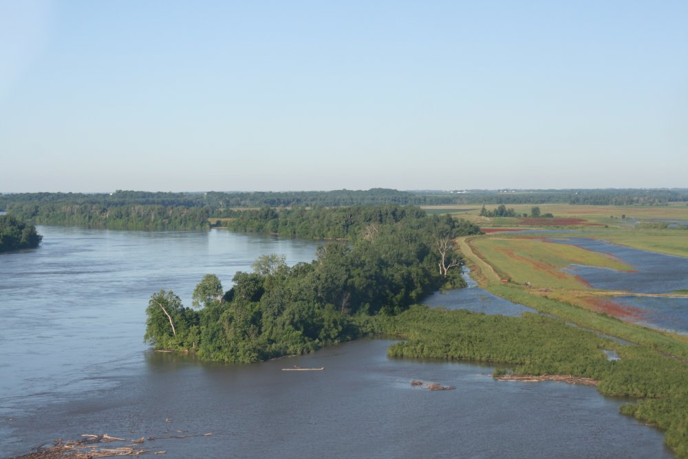
| This shot was
pretty typical of what I saw: lots of green, blue with a dash of
color thrown in. Looking at it through my Serengetti
rose-tinted sunglasses made it even better. |
|
 |
|
|
At first I flew over the river, but soon switched over to the farmlands
alongside the river.
This is the third time I have flown the Missouri River between St.
Louis and Kansas City, but the first two times were in the late afternoon
into the sun. This was the first time in the morning: much
better! |
|
 |
|
|
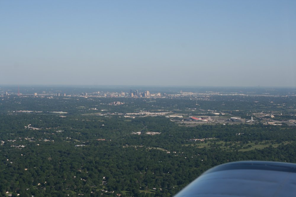
I left the river when I reached
Kansas City, pictured here, and headed southwest. |
|
 |
|
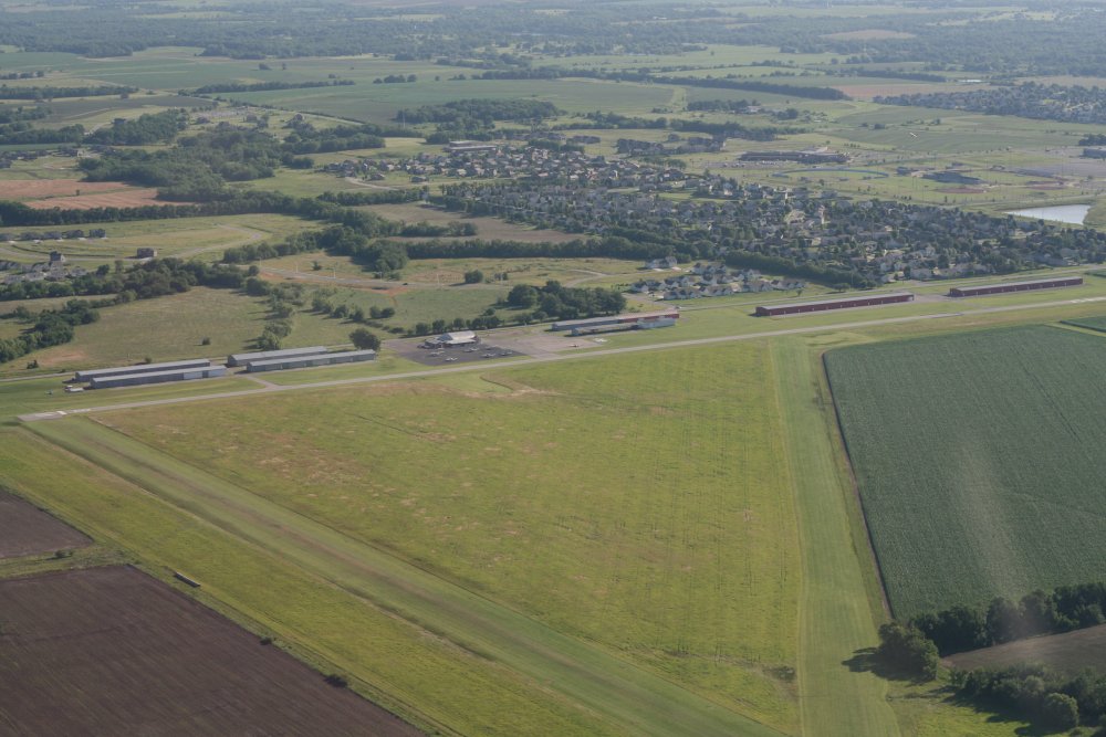
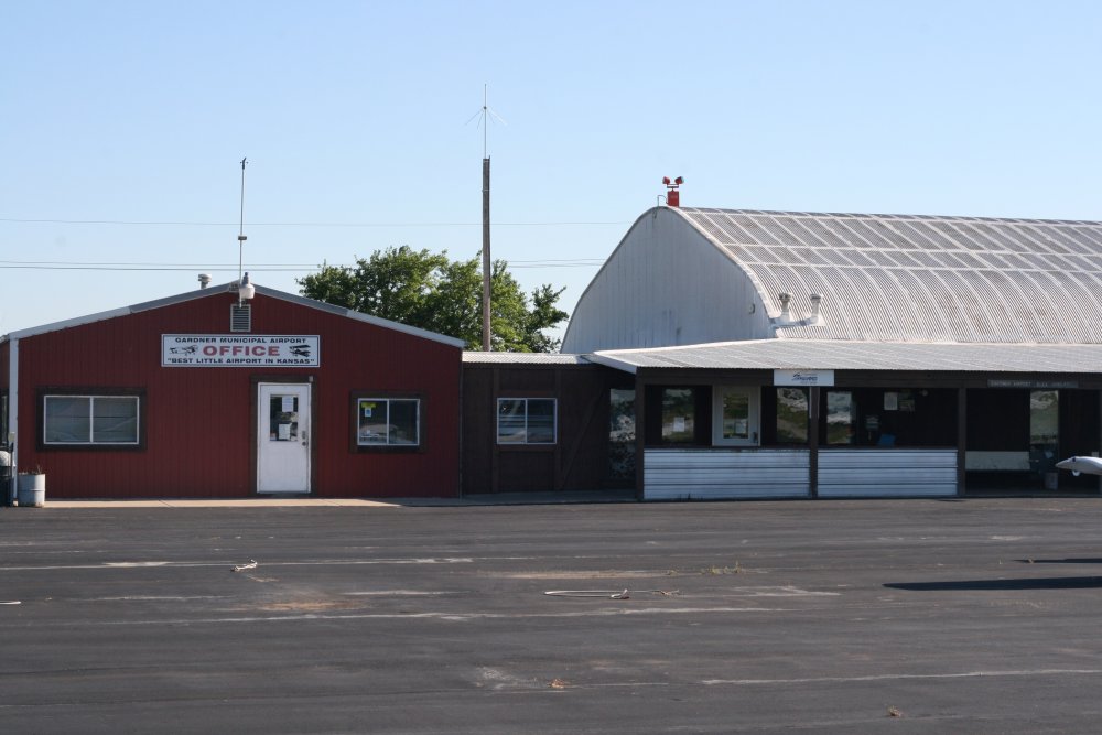
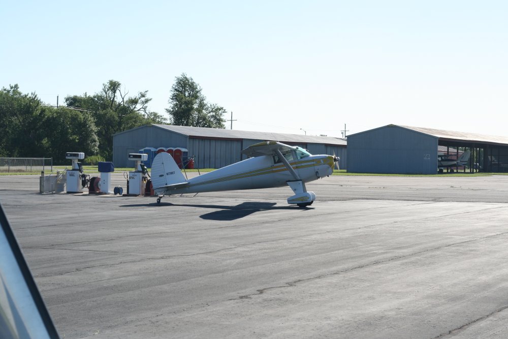
| I passed by the
airport below -- Gardner Municipal Airport (K34) -- saw the grass runways,
and decided to land and stretch my legs. I
talked for a while with
some pilots just hanging out on the front porch. It's that kind of
airport. Two of the three runways are grass and they are nice. The pilots
shop is interesting -- airplane stuff all over the place! After takeoff, I
did a touch and go on the grass runway just for the fun of it. This is an
airport I'd like to be based out of. |
|
 |
|
|
A nice porch in which to relax and
tell flying stories. |
|
 |
|
| One of the regulars
taxiing out in his Luscombe. |
|
 |
|
|
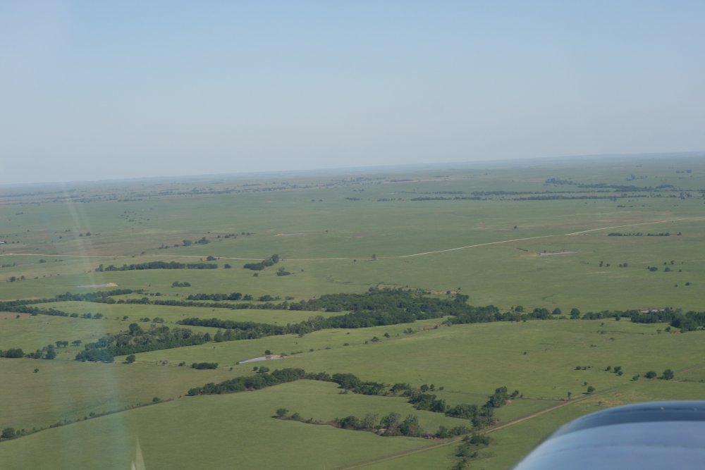
Leaving Gardner Muni I was now on the Santa Fe
trail proper. Because the land was mostly developed, there were no ruts. Or if there were, I never saw them. I didn't spend much time looking
for them -- I knew I would see be seeing more than
enough.
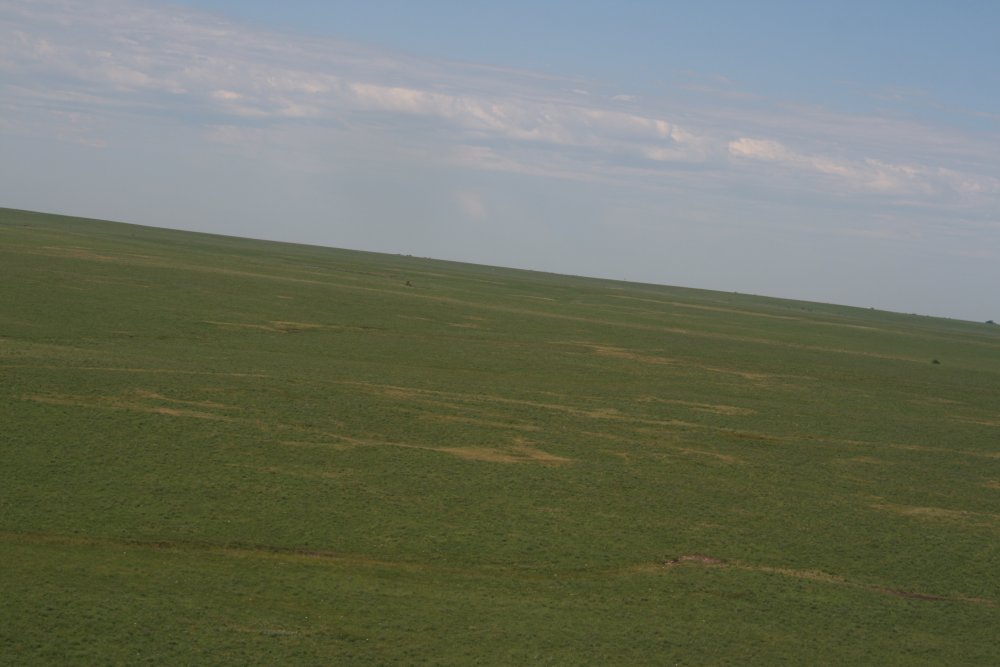
Soon, there was nothing but green grass in every direction.
|
|
 |
|
| Perfect for a little
low-level action! |
|
 |
|
|
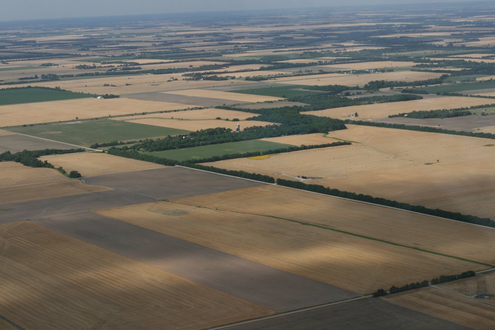
After awhile, I started seeing more
and more yellow and brown instead of green. |
|
 |
|
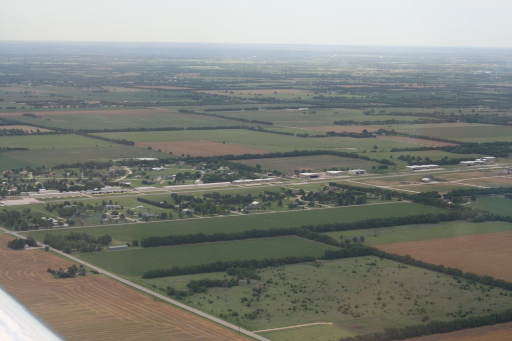
| I broke off the
Trail and headed south to Witchita. I wanted to have lunch at
Stearman Airport (1K1) which has an airport restaurant featured in Pilot
Getaways magazine and the recent issue of AOPA Pilot. |
|
 |
|
|
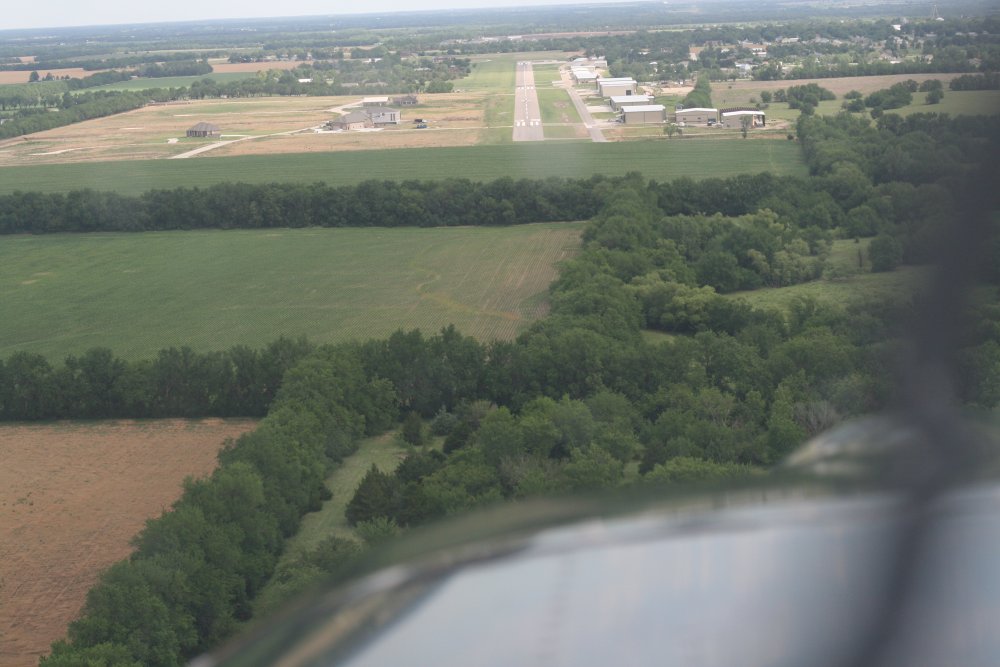
On final at Stearman. |
|
 |
|
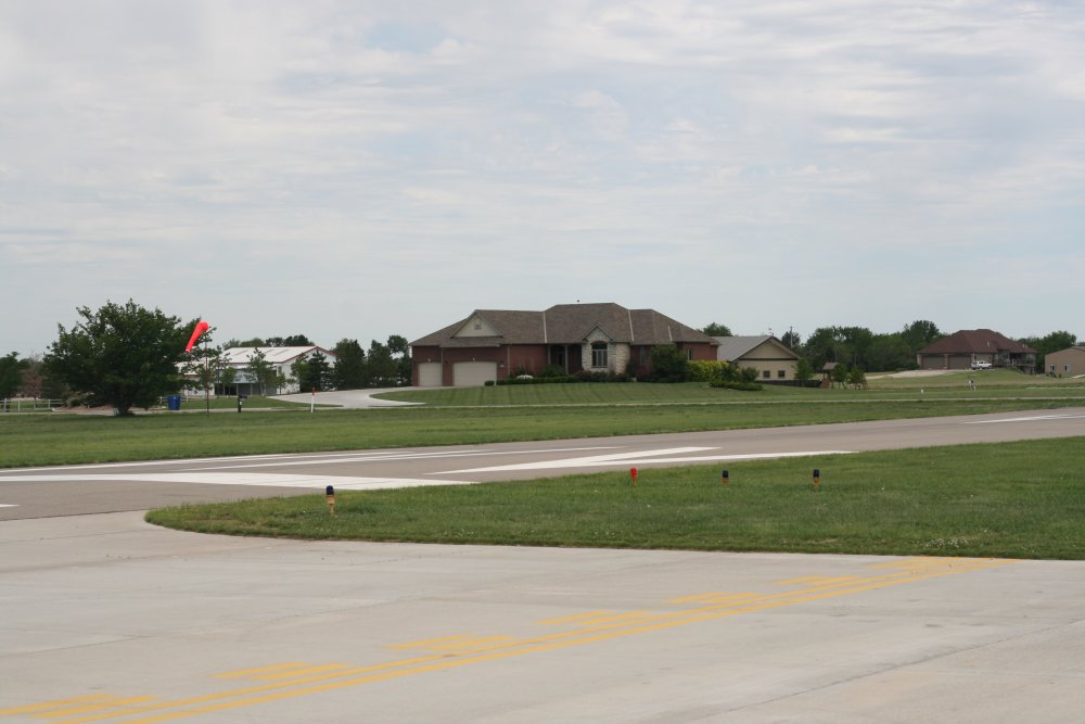
| Upon landing, it
was obvious that Stearman is an airport community airport. How
about that house just off the runway! |
|
 |
|
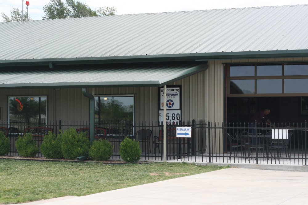
| This
building houses the restaurant and FBO office. I enjoyed some chicken
fried steak for lunch. The restaurant is richly decorated in
airplane memorabilia with aviation video playing on wallmounted flat screen TVs. |
|
 |
|
| |
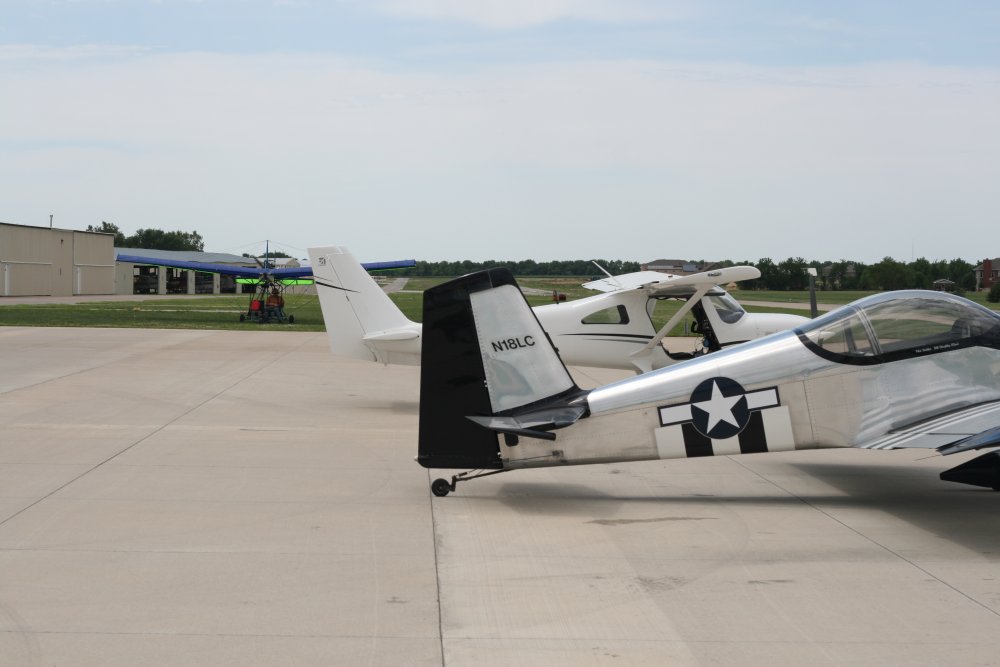
| I parked next to a
new Cessna Skycatcher. The two-seat QuickSilver ultralight flew in
for lunch. Later I saw him depart.
If he took more than 50 feet to take off I'd be surprised.
The Skycather was nice, but despite costing considerably more than my RV,
my RV blows it away performance-wise. |
|
 |
|
|
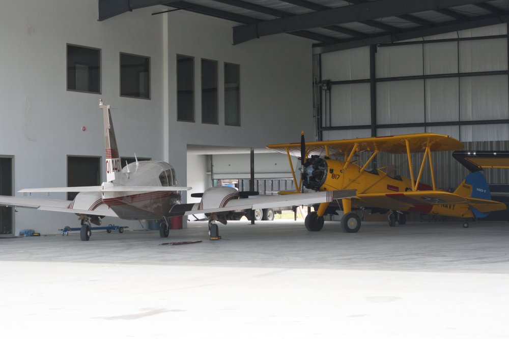
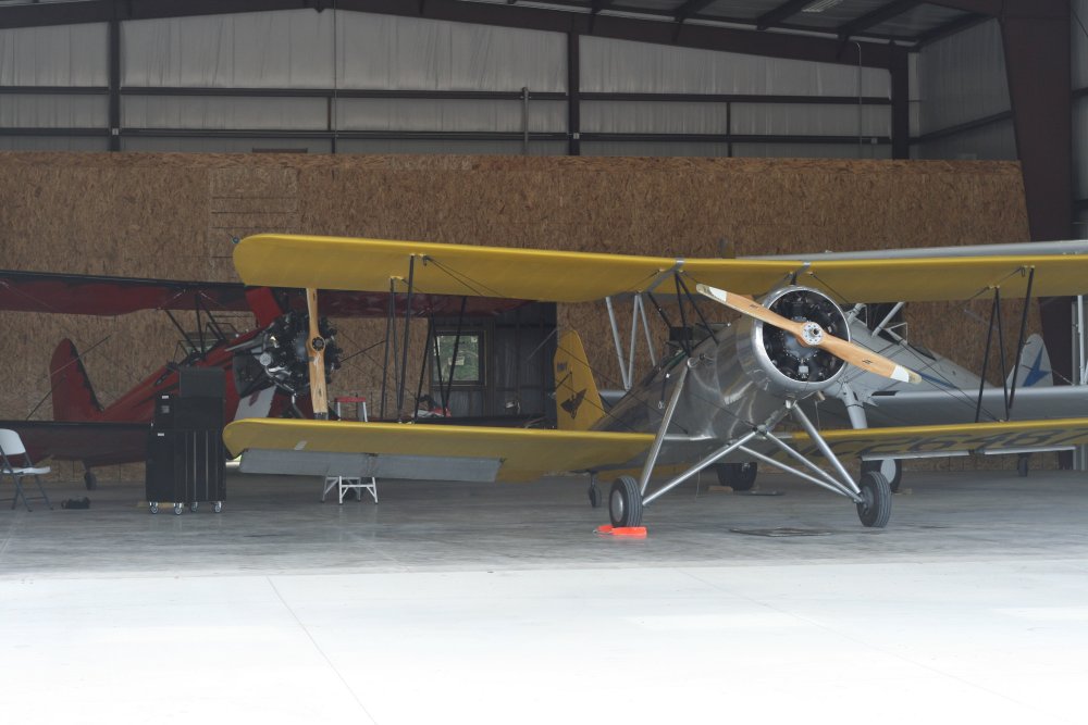
I walked the length of
the runway to check out the hangars. As you might expect, there are a
number of Stearmans at Stearman airport. |
|
 |
|
| An RV
under construction in the back of the hangar. |
|
 |
|
|
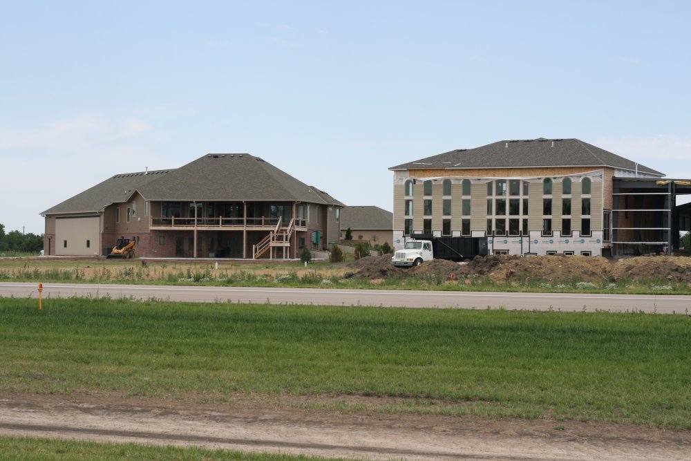
A couple of massive house/hangars
being built near the end of the runway. |
|
 |
|
|
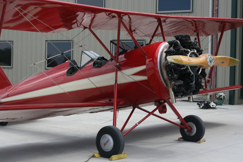
I talked with the owner of the below yellow-winged 1941 Meyers OTW-145 biplane. He is a
retired U.S. Navy Captain who started flying in WWII and flew
pretty much everything the Navy had during his career. He has owned the
Meyers for 50 years! Home based in Illinois, he
flew it all the way down here -- no mean feat in an open cockpit
biplane.
The Meyers OTW (Out To Win)
was designed to compete for lucrative military trainer contracts. Its all-metal fuselage was
unique for a trainer. The design did win a contract,
but only 101 OTW-145s were ordered and built between 1939 and 1944. The
metal skin was harder to maintain and the larger contracts went to more
conventional trainer designs.
|
|
 |
|
| Another Meyers
was sitting outside. |
|
 |
|
|
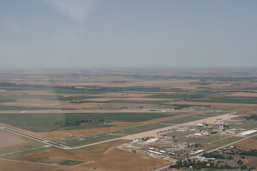
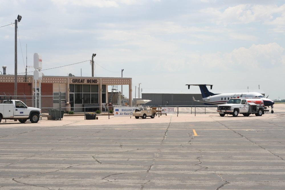
After lunch I headed north and back to
the trail. Soon I came to today's destination: Great Bend, Kansas.
The airport was obviously ex-military. I found out
later that it was one of four B-29 training bases during World War
II. |
|
 |
|
| I had arranged for
a rental car to do some sightseeing in. |
|
 |
|
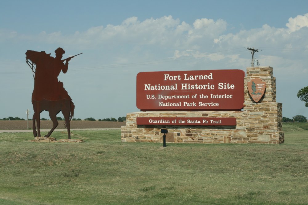
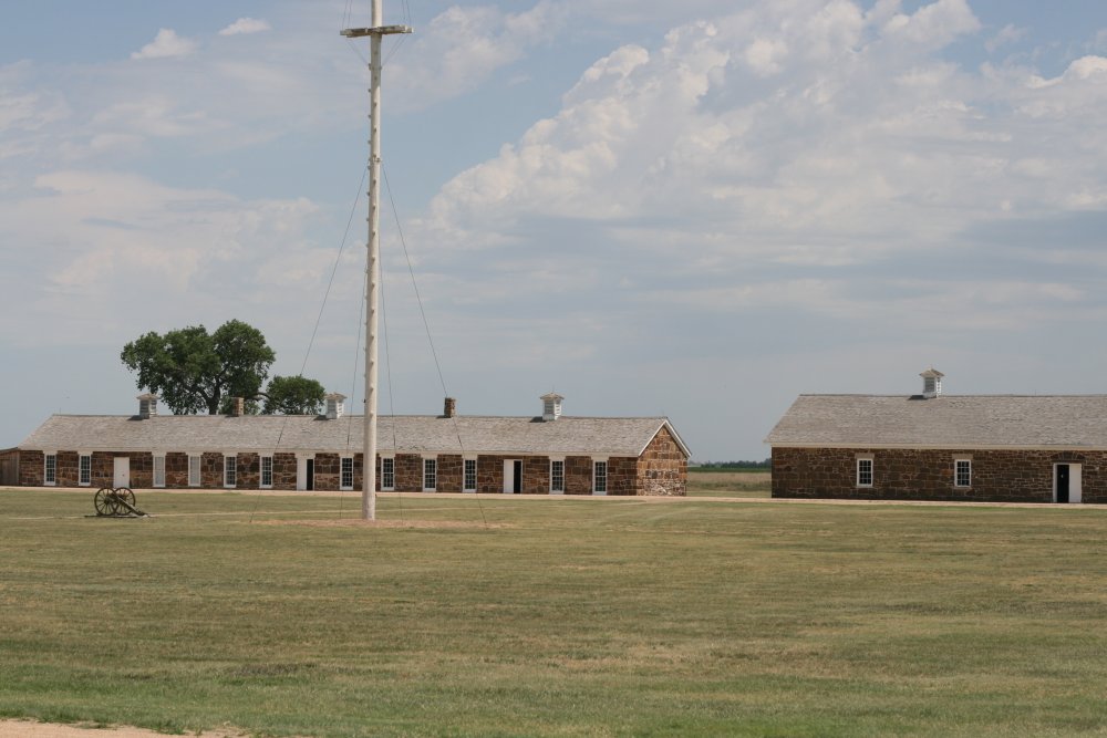
I drove down to Fort Larned which was an army
post on the Santa Fe trail. |
|
 |
|
|
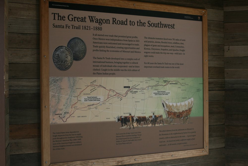
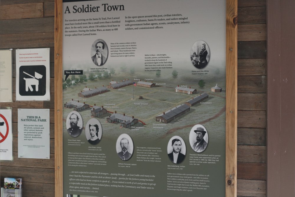
This display gives a nice overview of the Santa Fe trail. The
text reads as follows:
It all started over trade that promised great profits. Once
Mexico won independance from Spain in 1821 Americans were welcomed and
encouraged to trade. Trade quickly flourished, creating
opportunities and profits linking the economies of Missouri and
Mexico.
The Santa Fe trade developed into a complex web of international
business , bringing together a cultural mosaic of individuals who
cooperated -- and at times clashed. Caught in the middle were the
rich culture of the Plains Indian people.
The obstacle Teamsters faced were 781 miles of semi-arid prairies,
storms, flooded rivers, wildfires, dust, plagues of gnats and mosquitoes,
mud, Comanches, Kiowas, Cheyennes, Arapahoes and Apaches. Freight
wagons could make the trip one-way, with luck, in eight weeks.
For 60 years the Santa Fe trail was one of the most important overland
trade routes in the world." |
|
 |
|
| Another one of
Fort Larned. |
|
 |
|
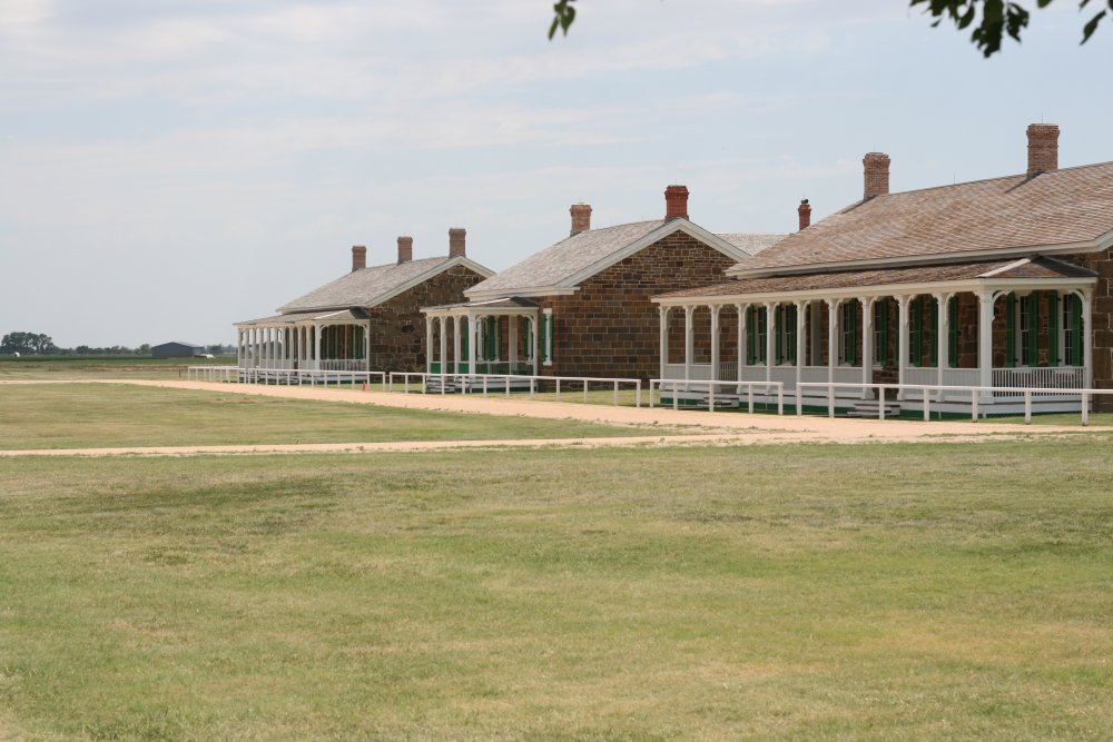
| They have done a
nice job of restoring the Fort to what it looked like back in the
day. These three buildings housed the Officers. The Commanding
Officer had the center house
all to himself. RHIP (rank has its priviledges). The junior officers had to share
the other two buildings. Still, they had it much
better than the enlisted, who were all housed in one big
barracks building. |
|
 |
|
|
The Fort had done its job by 1890 or
so, so the Army sold it, and it was a privately-owned working ranch for
many years before becoming a national historic site. |
|
 |
|
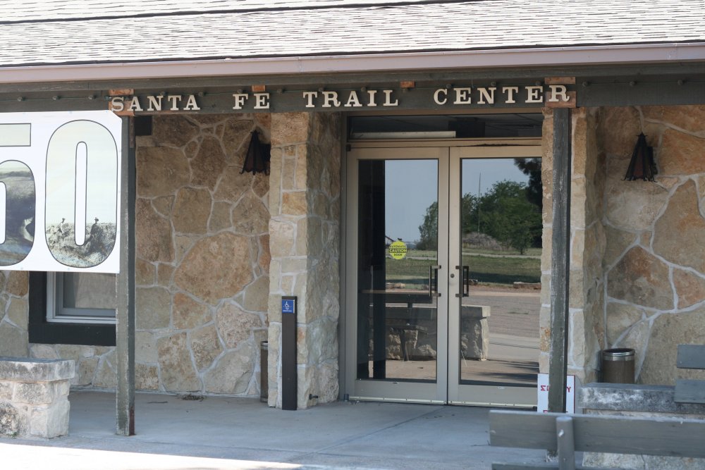
| I left Fort Larned
and visited the Sante Fe Trail Center just down the road. It's a
nice museum devoted to the history of the Santa Fe Trail. |
|
 |
|
|
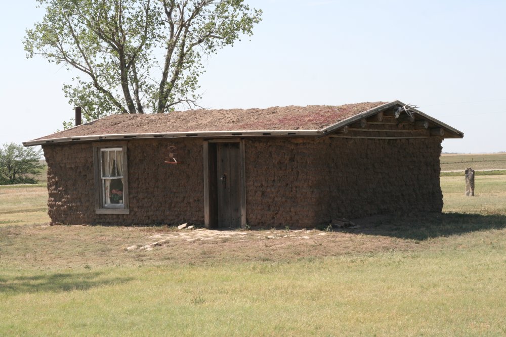
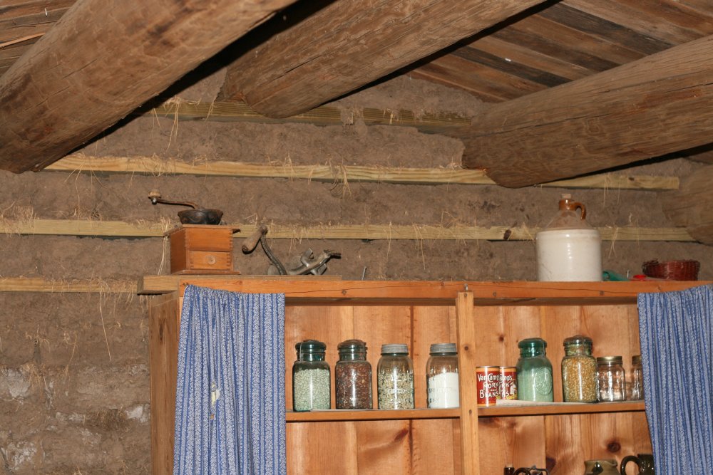
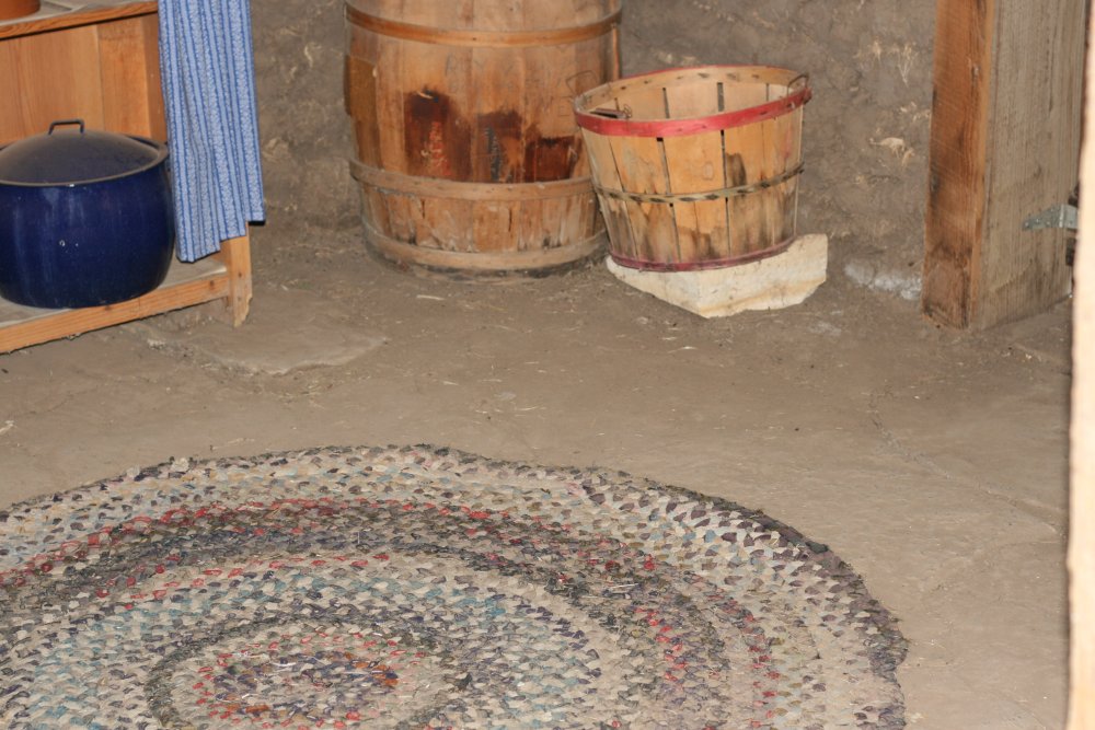
On the Museum grounds, I was
fascinated by this sod house. |
|
 |
|
| Dirt walls. |
|
 |
|
| Dirt floor.
Hard to imagine
living in something like this. The good old days? I don't
think so. |
|
 |
|
|
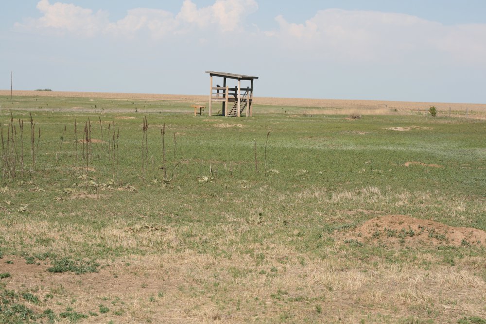
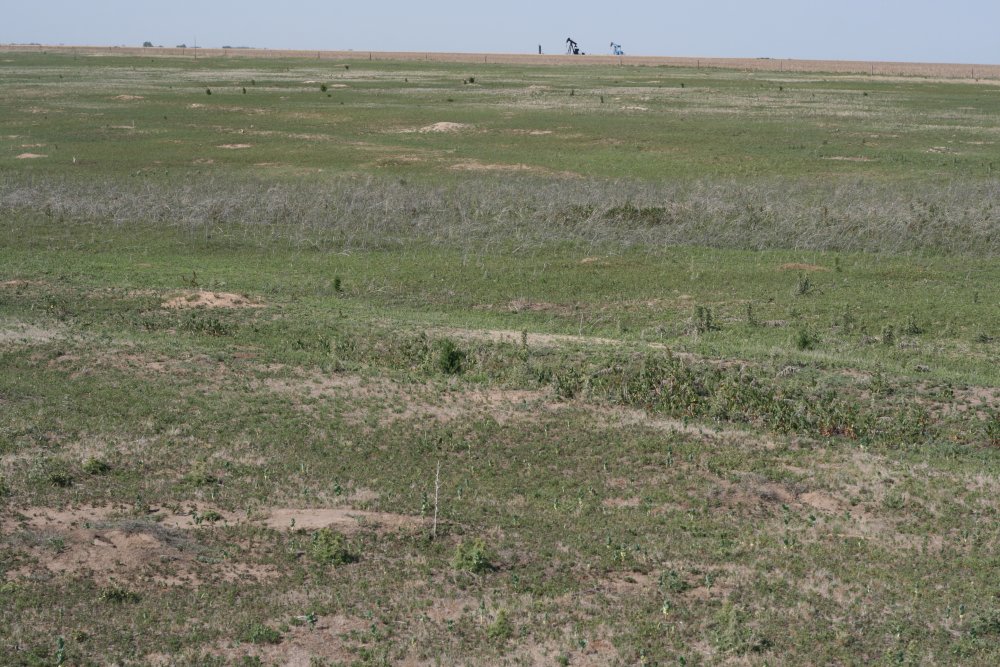
The National Park service owns some
undeveloped land nearby that contains undisturbed Santa Fe trail ruts so I checked
it out. When I drove up, a colony of Prairie Dogs chirped at
me furiously. |
|
 |
|
| Ruts. Not
too impressive close-up. |
|
 |
|
|
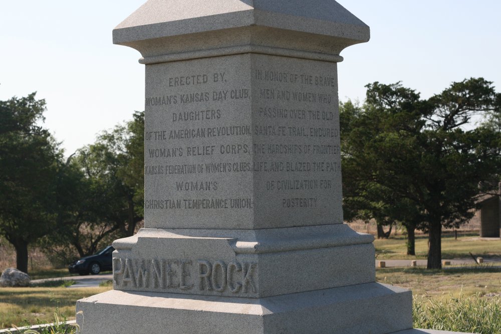
Next I drove to see the famous Pawnee Rock which is just off the highway.
There is a little park area containing the rock with this monument on top.
The area was kind of depressing because it wasn't well
maintained, the information placards were faded, peeling and almost unreadable.
There was a grafitti-marked concrete structure on top the hill that was
serving no purpose. Surrounded by a rusted chain link fence, the site
doesn't look like it gets a lot of visitors. Still I was glad I came
to see it.
Pawnee Rock marked the halfway point of the
trail and was one of the most prominent landmarks on the Santa Fe
Trail. Native Americans were said to have met at Pawnee Rock and
reputedly used it as a vantage point to spot bison herds and approaching
wagon trains. Originally over
150 feet (46 m) tall, railroad construction stripped it of some 15 to
20 feet in height for road bed
material. |
|
 |
|
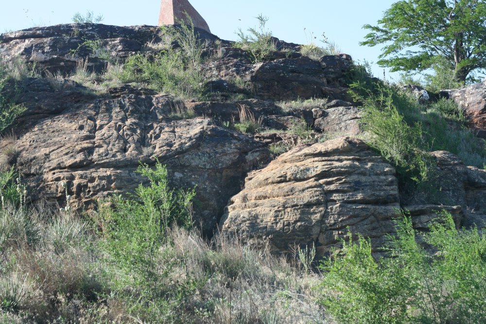
| Close-up of the
rock. |
|
 |
|
|
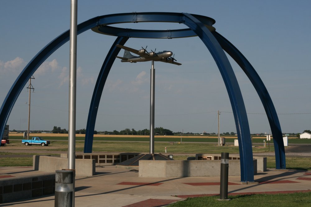
In contrast, there is a very nice and well-maintained memorial at Great
Bend airport which honors the B-29 crews of WWII and Korea.
I stayed in an inexpensive, but clean motel in Great Bend and had an
outstanding steak dinner at a local restaurant. Clearly this is
cattle country.
|
|
 |
|
|
|
|
|
|
|
|