June 30, 2011 - Flying
the California Coast |
| I got an early
start -- was there a day so far that I didn't get an early start? --
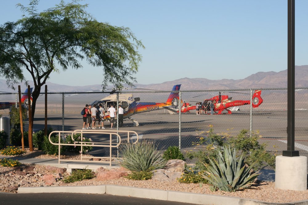
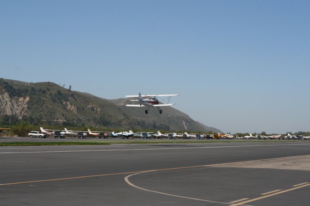
and drove to the airport. Boulder Airport (BVU) has a very
active helicopter operation, flyingtour rides over Hoover Dam and the Grand
Canyon. |
|
 |
|
|
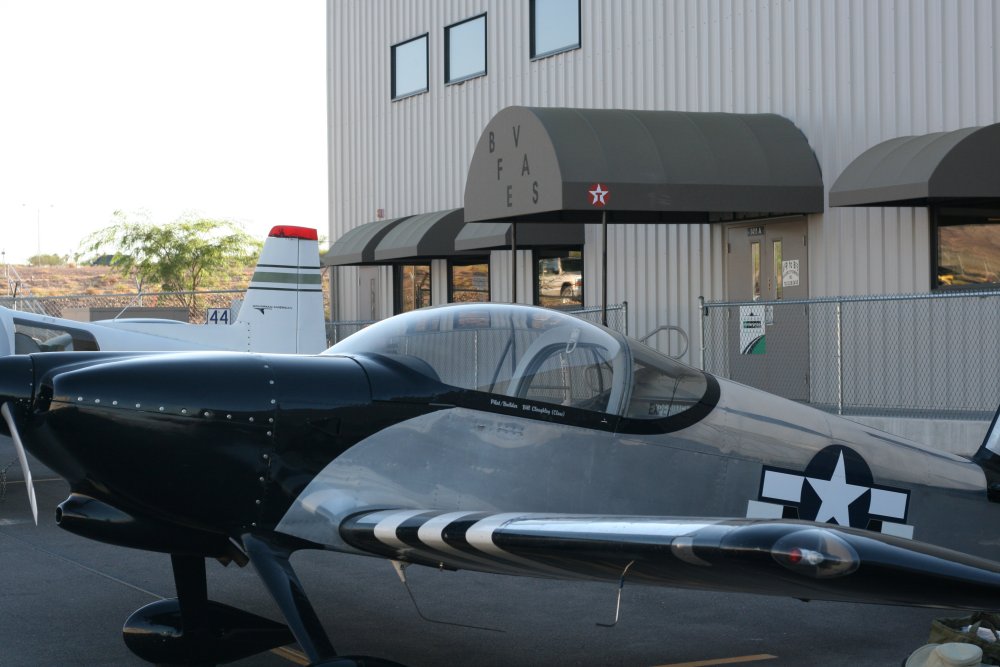
The FBO -- BFE -- was a good
host. |
|
 |
|
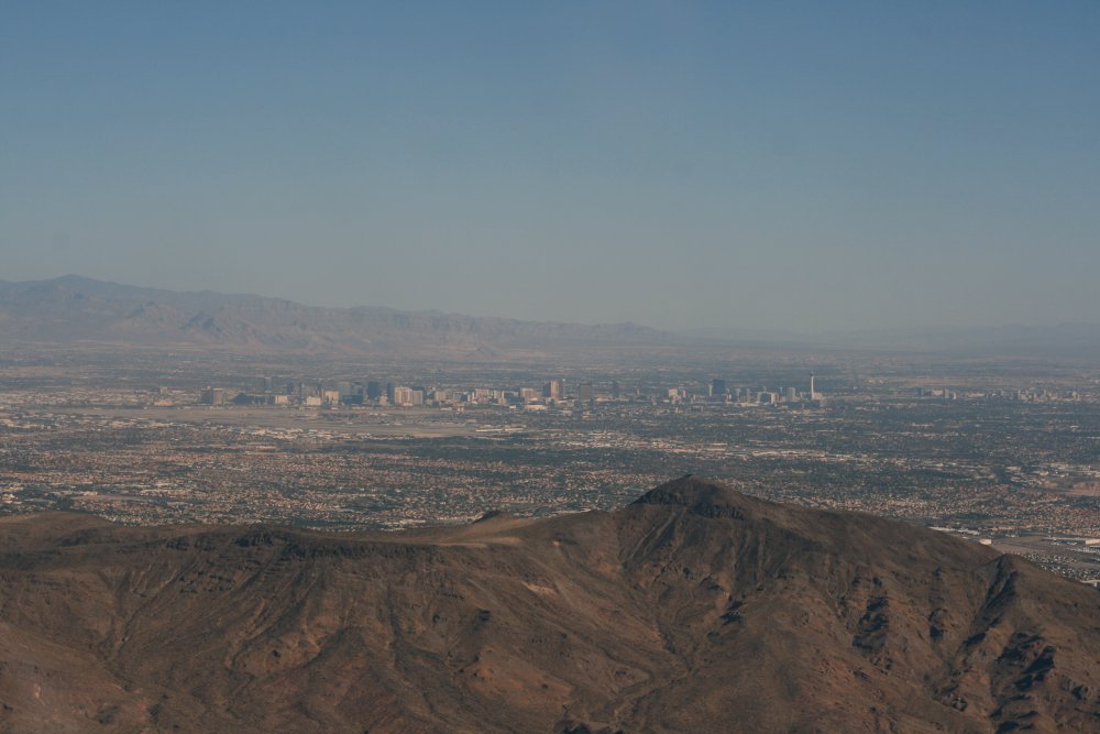
| I took off, hopped
over a ridge, and there was Las Vegas off my right wing.
I had to be careful not to bust their Class B airspace. |
|
 |
|
|
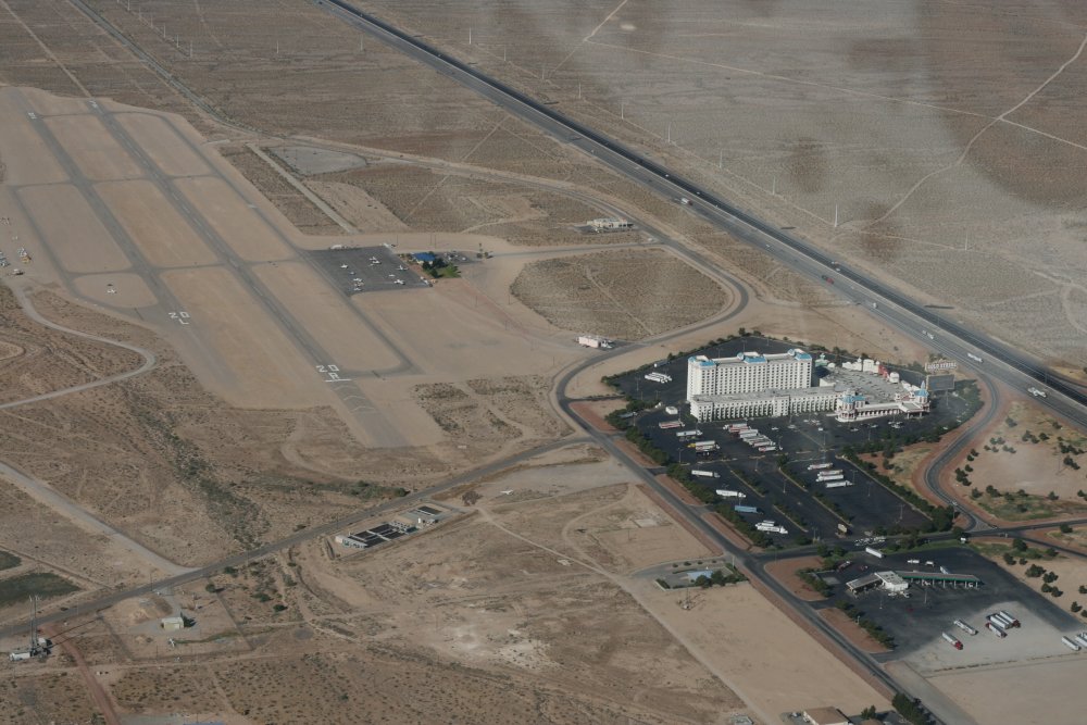
I skirted to
the south of Las Vegas and then got on I-15. I noticed the
below airport right next to a casino-hotel. Turns out it
is Jean Airport (0L7). I could have saved some money stopping here for
the night instead of Boulder because I could have just walked from the airport to the
casino-hotel and not had to rent a car. Poor planning on my
part. |
|
 |
|
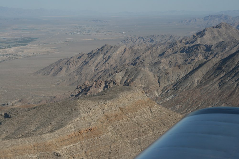
| I skimmed over the
top of this ridge. |
|
 |
|
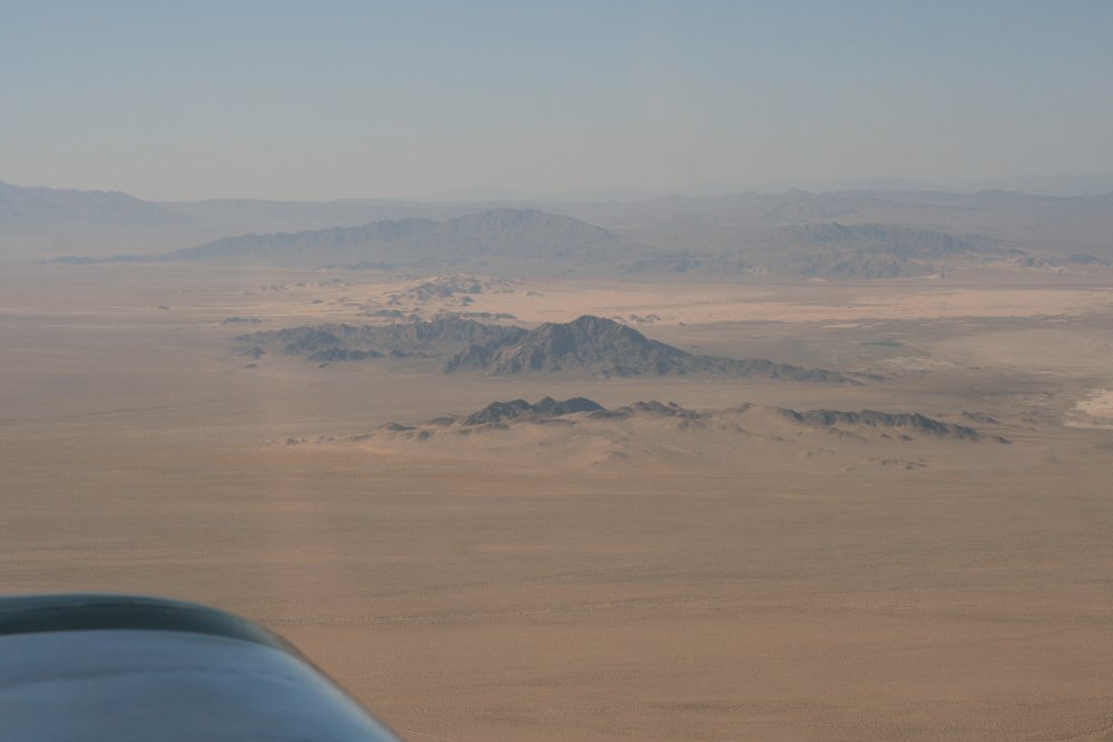
| Some serious desert
action. I was in the general vicinity of I-15 so I wasn't too
worried about it. |
|
 |
|
|
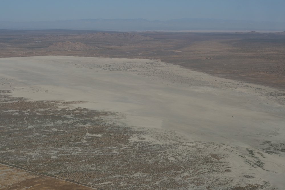
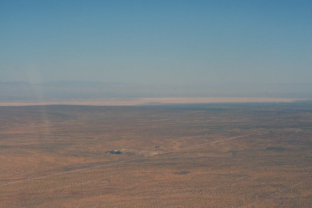
It's funny what you remember. Loyal readers
may recall I used Dan C.'s builder web log religiously while I was building.
When his RV-7 was done and flying, he wrote up
some trips to a dry lake bed near LA. At the time
I thought that was pretty cool and that I'd like to do it someday.
Dan's page is no longer online, but using the internet, I figured out that
it was El Mirage Dry Lake Bed and it was right on my route! It
was pretty easy to spot from the air. (the big tan area below).
I made a circuit around the dry lake at 300 feet and saw a car driving
on it, and a paraglider operation on one edge, but for the most part it
was empty. It was absolutely flat with no rocks or anything else I
could see. I figured I'd make wheel landing and if it felt OK, then
go ahead and land.
I made my approach. When my wheels touched, it felt like I was
landing on an hard surface runway, so I just went ahead and landed in the
middle of the dry lake. |
|
 |
|
|
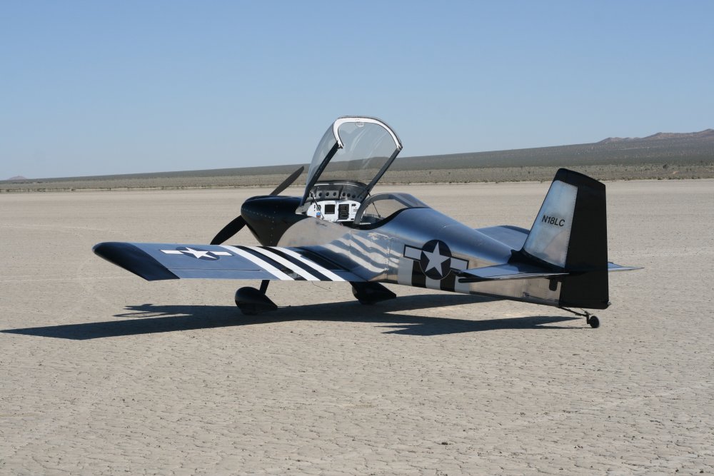
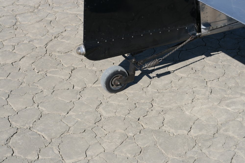
I leaped out, took a couple of
pictures and hopped back in. I was a little nervous when I pushed the start button but the
engine started right up. I just took off straight ahead -- the dry lake was
that long. |
|
 |
|
| A good look at the
lake bed. |
|
 |
|
|
Over El Mirage Dry Lake Bed, to the
north you could see Edwards Air Force base which has the gigantic Rogers
dry lake. |
|
 |
|
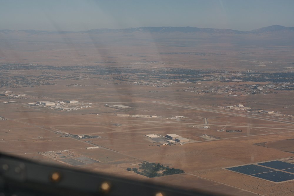
| Continuing on to
the west, I flew by Palmdale Regional. Back in my Navy days, I had
gone on a tour of the Lockheed plant at this airport.
This is where Lockheed built the P-3 Orions. They were building some P-3s for
the South Koreans at the time. They may have been the last P-3s ever
built for all I know. |
|
 |
|
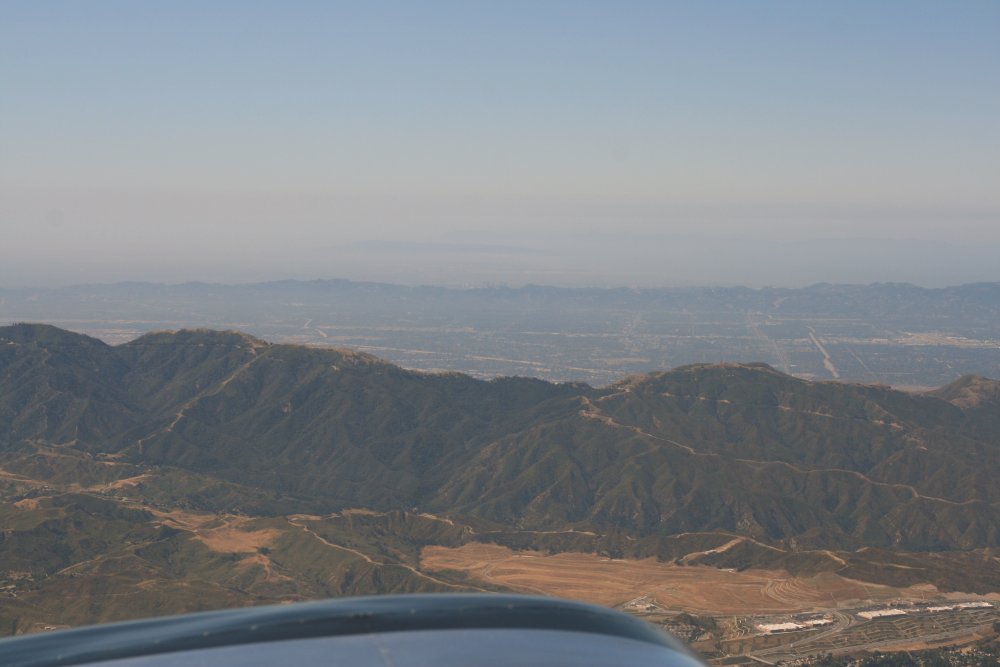
| Los Angeles is off
my left wing. I was staying to the north of all the LA controlled
airspace. |
|
 |
|
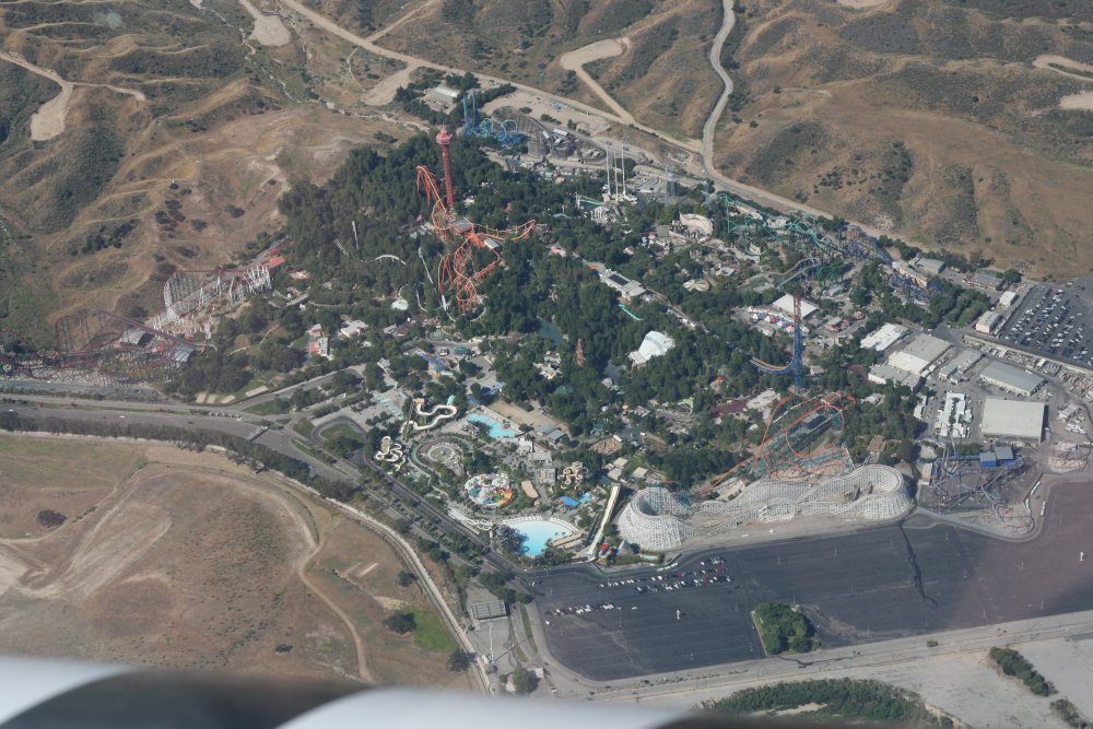
| A big amusement
park. |
|
 |
|
|
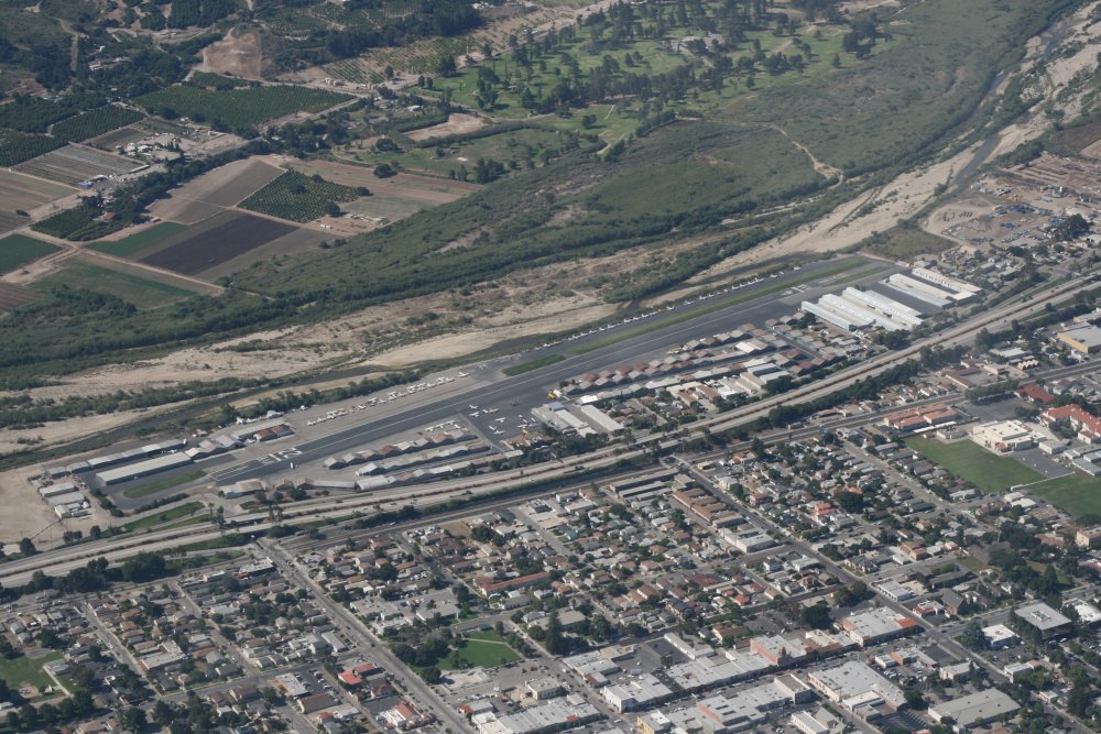
The AOPA directory on my 496 GPS said
that Santa Paula airport had an on-field restaurant so I decided to
land. |
|
 |
|
|
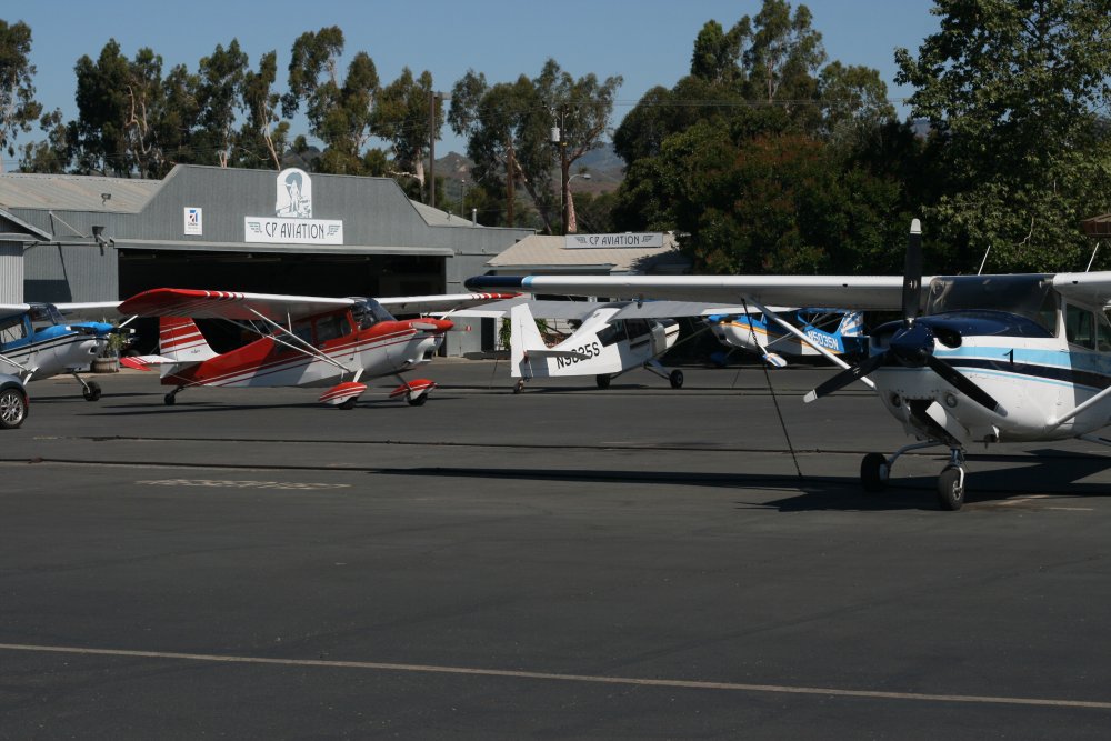
I liked the airport straight off when I six Citabrias parked outside a
flight training operation! I had a great breakfast in the
restaurant, which was decked out with airplane memorabilia.
Looking around, I recognized this airport as having been submerged
under water a few years ago. (2005) Steve McQueen was
into flying the last few years of his life and kept a Stearman here.
Apparently he really liked hanging out here, sleeping in his hangar.
|
|
 |
|
|
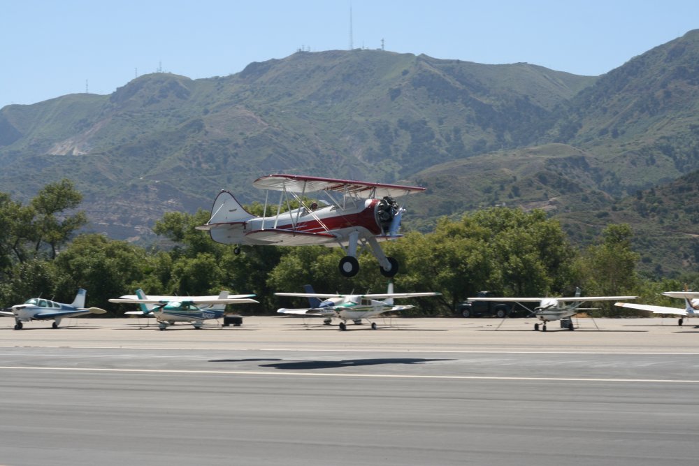
A beautiful Waco took off while I was
fueling up. |
|
 |
|
| There are a lot of
planes tied down outside at this airport. |
|
 |
|
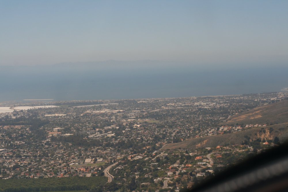
| I continued on to
the west and soon the Pacific Ocean came into view. Now I can
say my RV has flown over both the Atlantic and Pacific Oceans. |
|
 |
|
| |
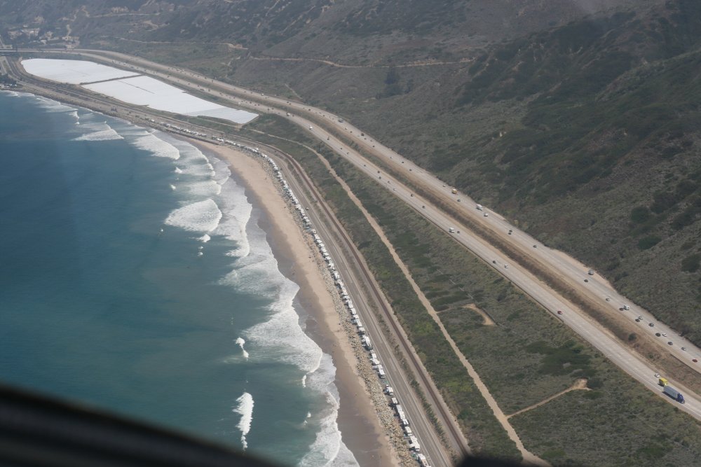
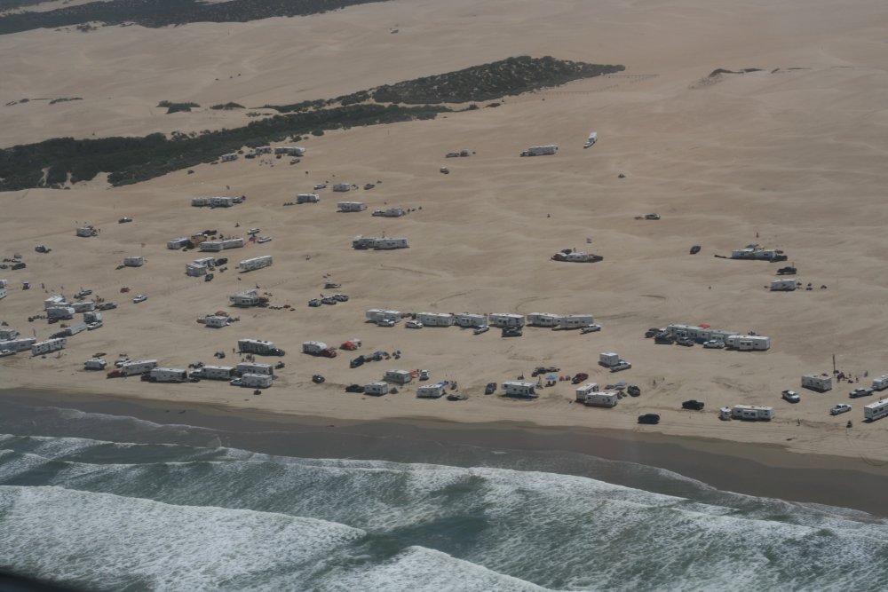
| My plan was to
follow the coast all the way to San Francisco Bay. This
stretch of beach was interesting because it has recreational vehicles
parked nose to tail along the beach. I'm guessing it's an
inexpensive way to have an ocean front residence! |
|
 |
|
|
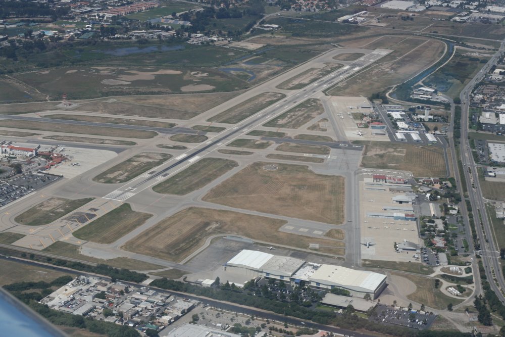
Santa Barbara airport and Class C
airport is right on the coast. I called them up for a transition but
it was more trouble than it was worth. They didn't even let me stay
on the coast but vectored me inland. |
|
 |
|
|
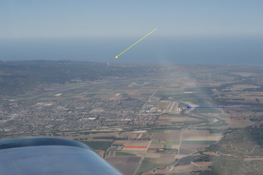
Vandenberg Air Force Base owns a chunk of the coast with a lot of
restricted airspace. I just had to bit the bullet and fly
inland. My brother-in-law Doug used to work here and took us
on a driving tour once. They built a space shuttle launch pad here
but it was never used. I'm guessing that's what the yellow arrow is
pointing to.
That's Lompoc Airport wher ethe blue arrow is pointing.
|
|
 |
|
|
|
|
 |
|
|
|
 |
|
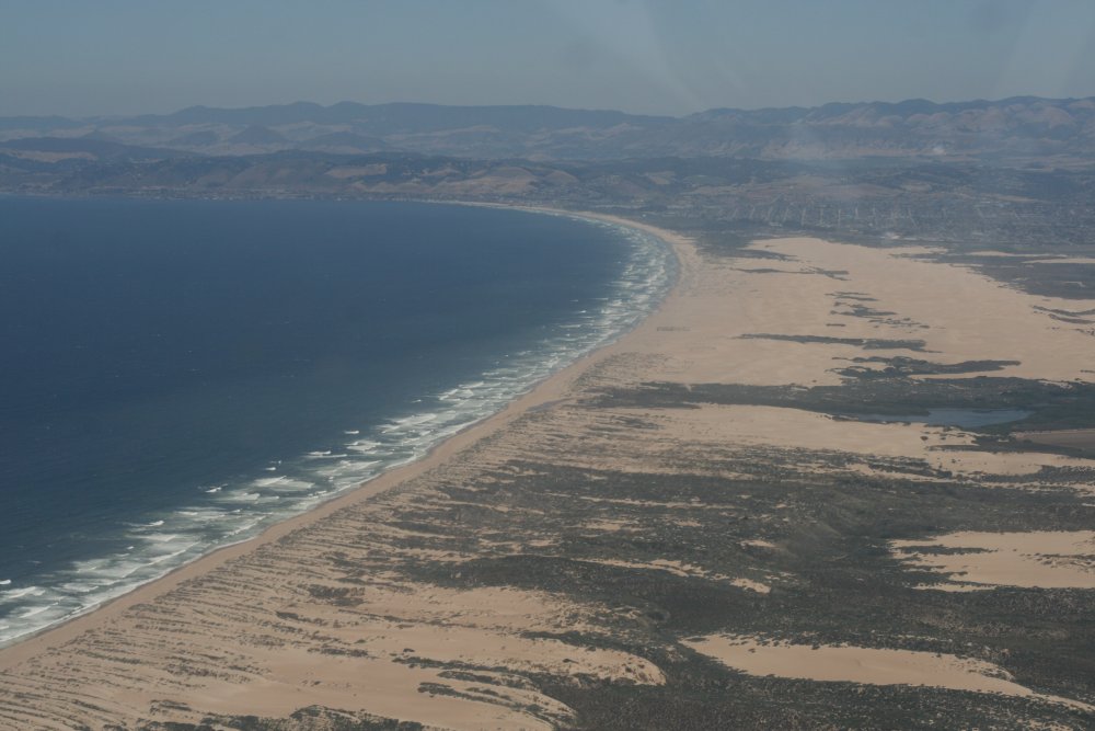
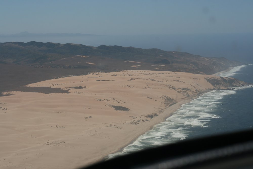
| Five and a half
miles of beach and dune area are open to vehicles including quads,
dirt-bikes and four wheel drive vehicles. Looks like fun! |
|
 |
|
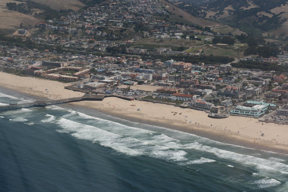
| Pismo Pier |
|
 |
|
|
|
|
 |
|
|
|
 |
|
|
|
|
 |
|
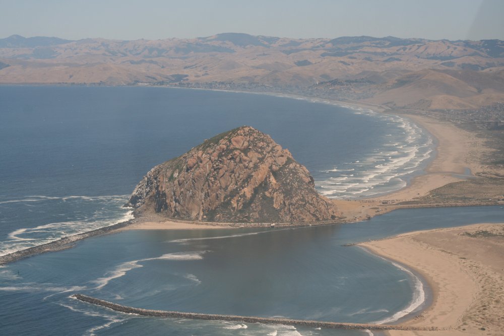
| Morro Rock was
named by Juan Rodriguez Cabrillo when he first charged this coast during
his 16th Century voyage of discovery. |
|
 |
|
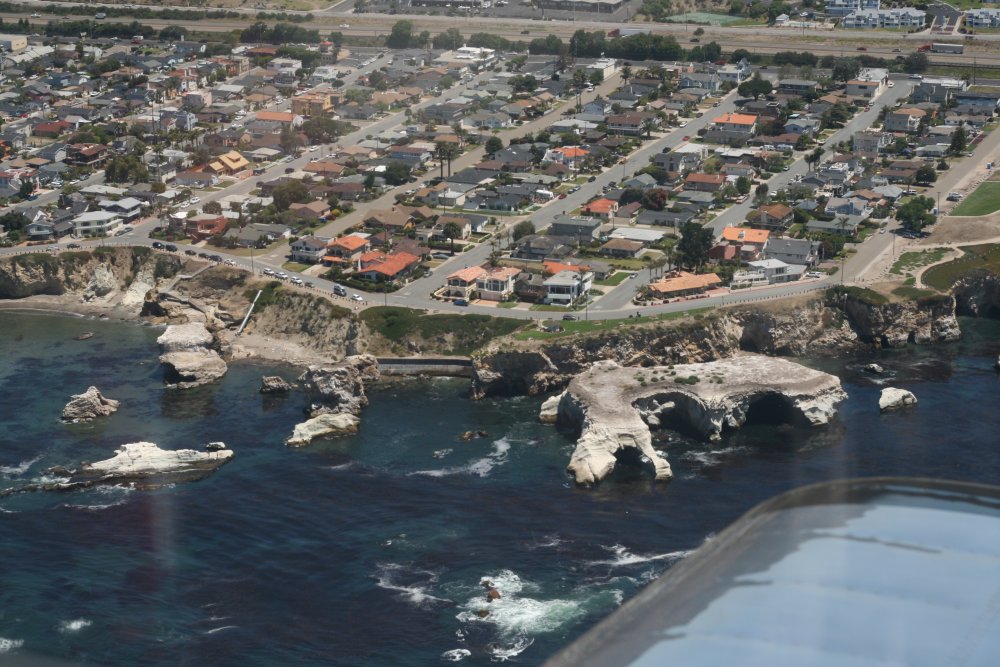
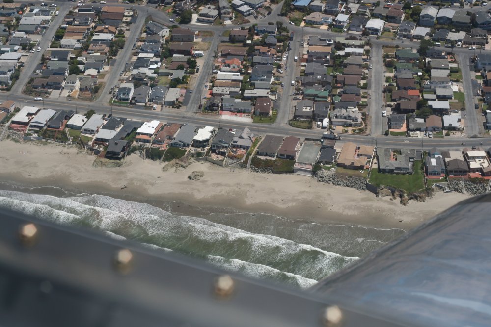
| Some nice ocean
front property. |
|
 |
|
|
|
 |
|
|
|
|
 |
|
|
|
 |
|
|
|
|
 |
|
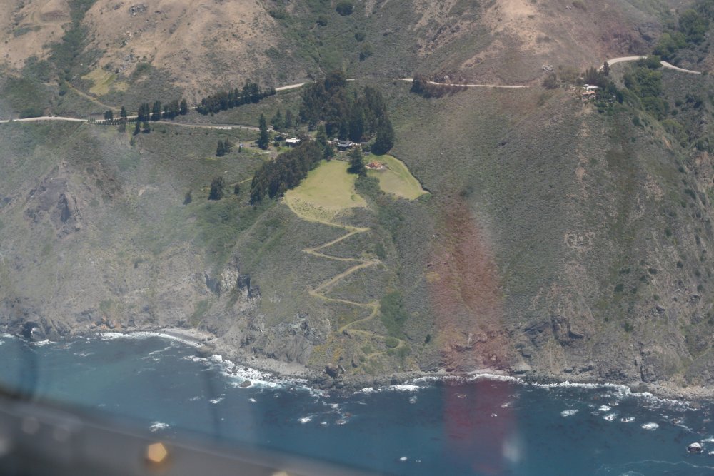
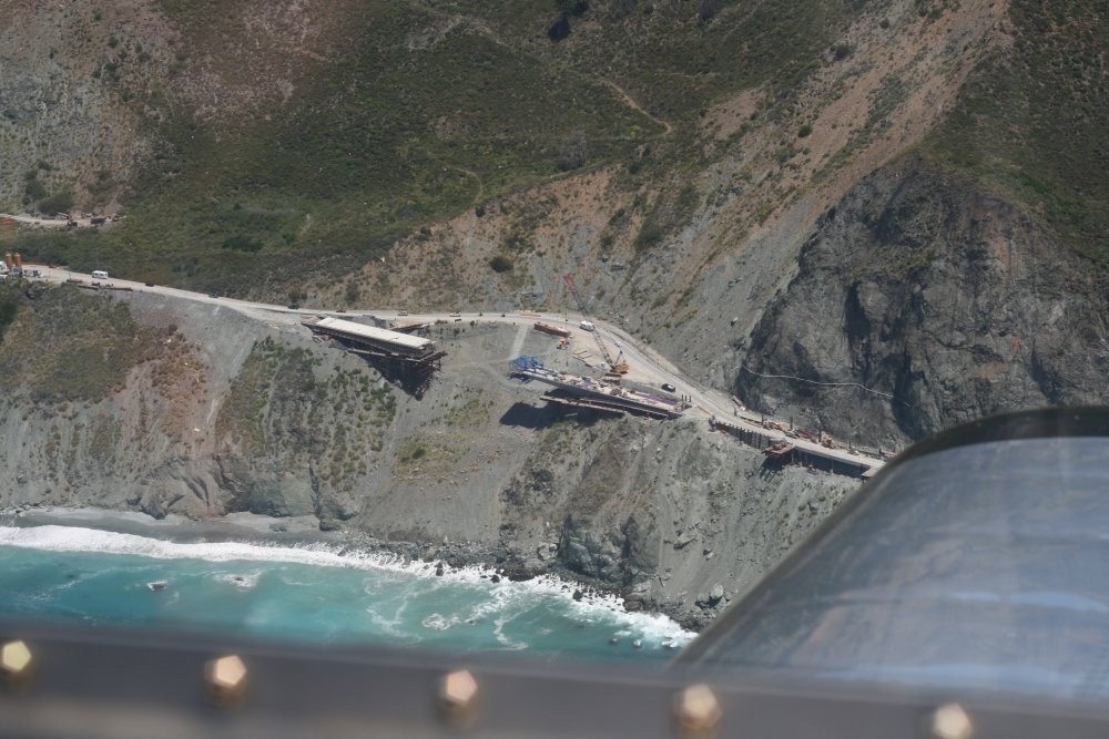
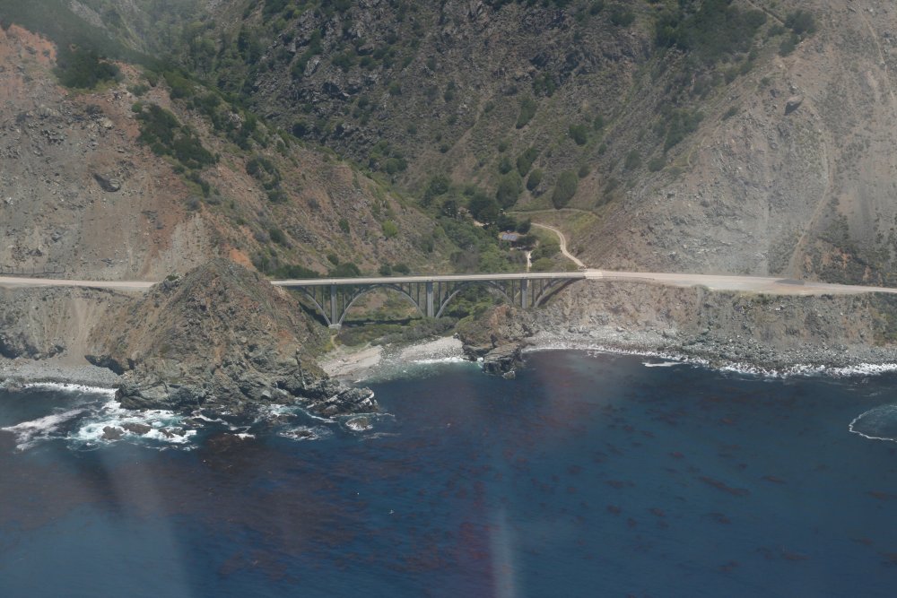
| Building a new
bridge for Highway One. |
|
 |
|
|
|
 |
|
|
|
|
 |
|
|
|
 |
|
|
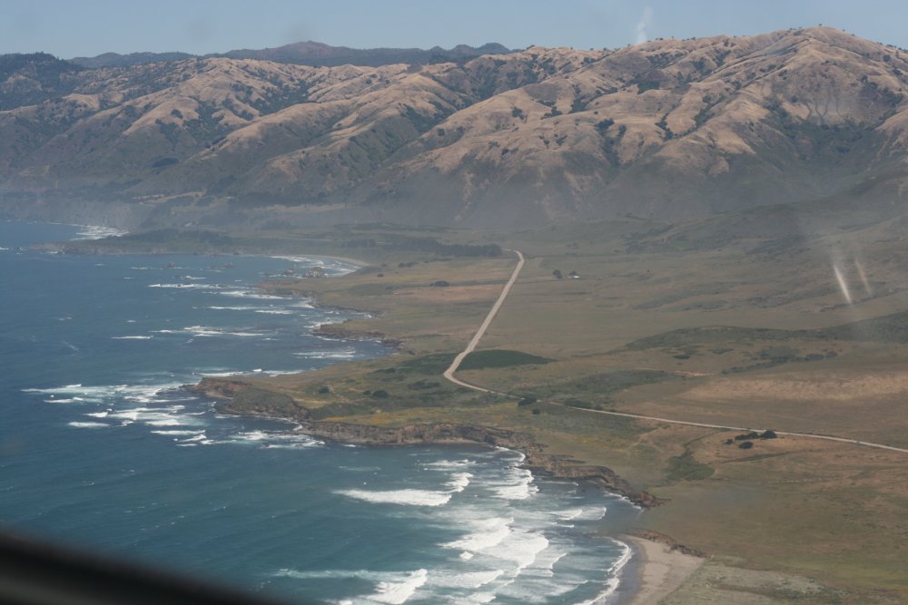
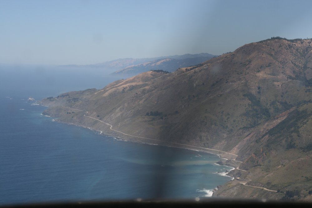
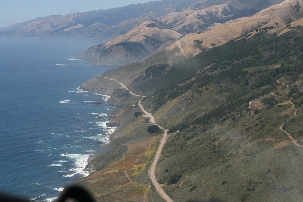
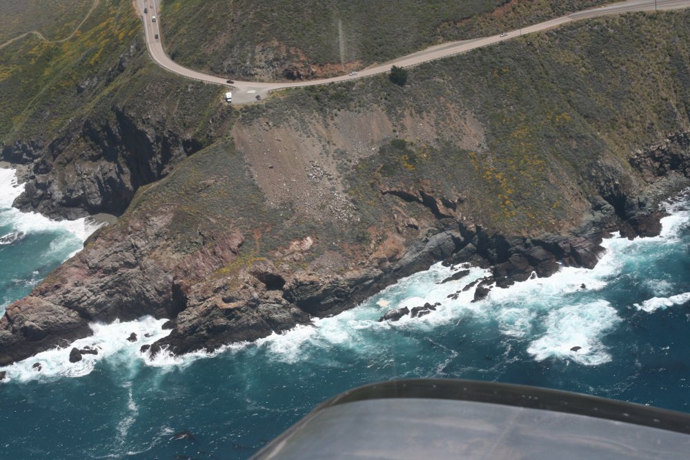
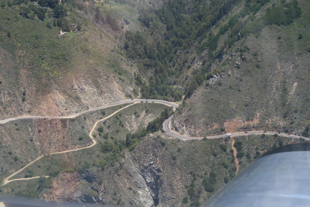
Much faster to fly in the RV than
drive on that winding road. |
|
 |
|
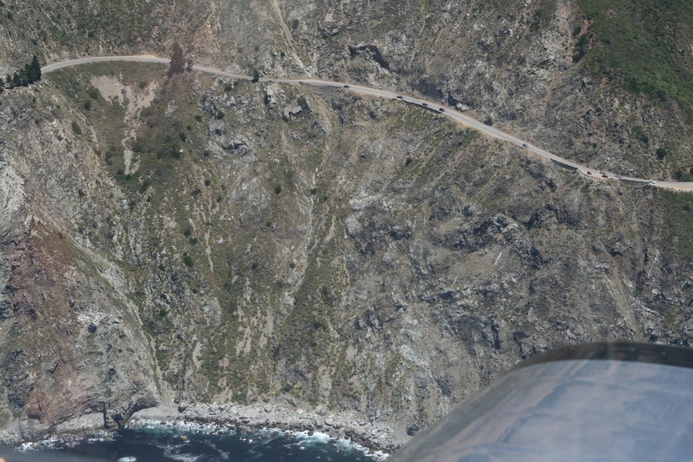
| Don't want to run
off the road there! |
|
 |
|
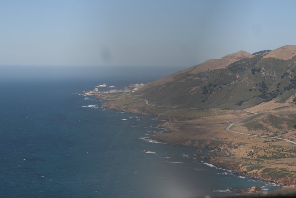
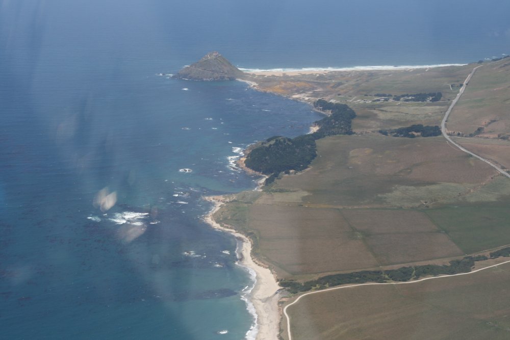
| Point Sur
Lightstation. |
|
 |
|
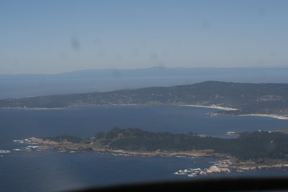
| Monterey Bay in the
background with Carmel at right center and Point Lobos lower left. |
|
 |
|
|
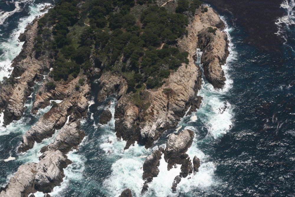
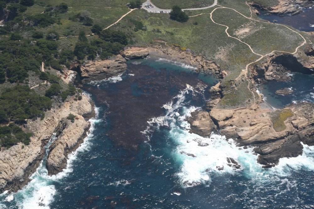
Over Point Lobos which is probably my
favoriate place to go in California -- except for Yosemite, of
course. |
|
 |
|
| Point Lobos State
Park is small but well worth a visit if you ever have the chance. |
|
 |
|
|
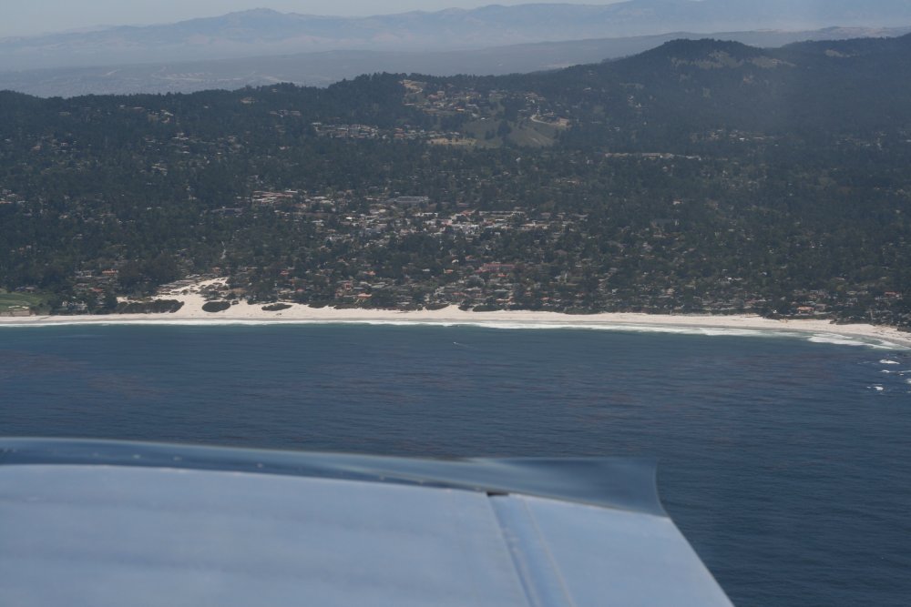
Carmel. |
|
 |
|
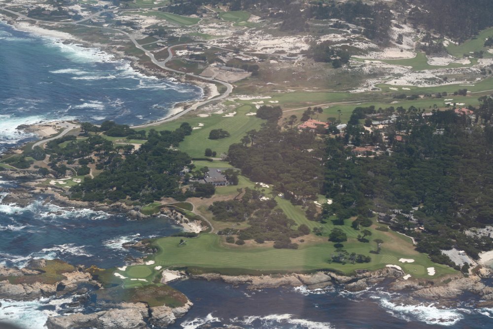
| Not sure if this is
Cypress Point or Pebble Beach Golf Course. Not that I would disgrace
either course by scarring their hallowed fairways with my massive
divits. I'm a flyer, not a golfer. |
|
 |
|
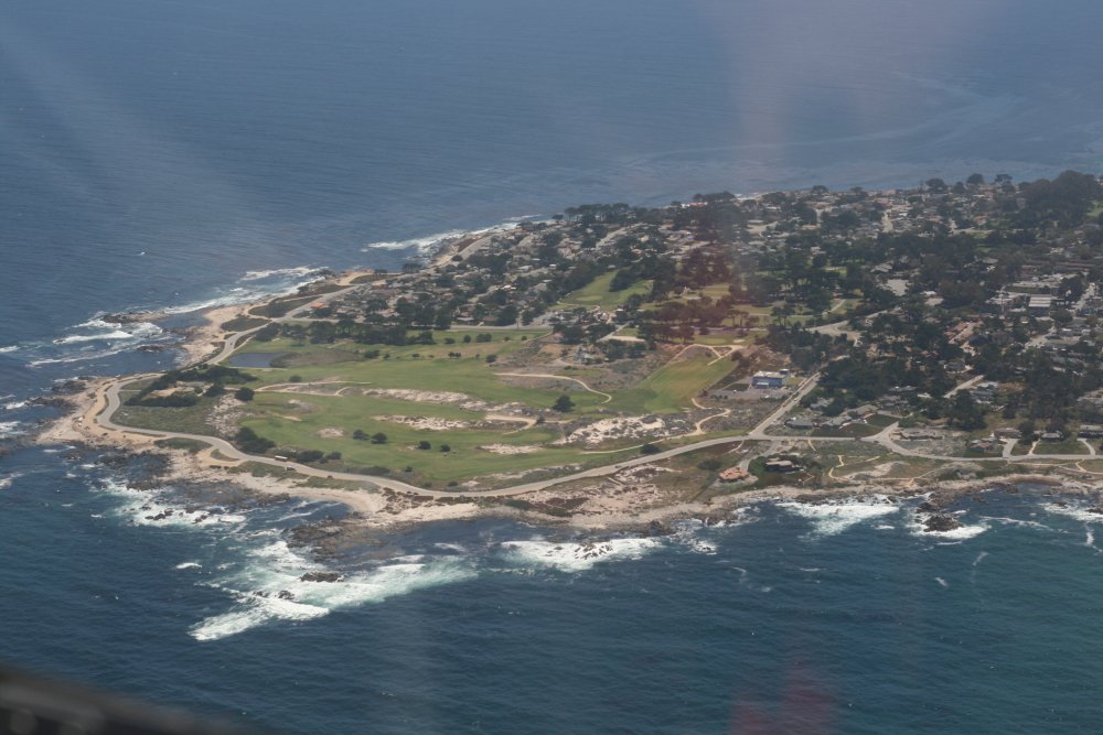
| The Monterey
Municipal Golf course which I did play back in the late-80s. |
|
 |
|
|
|
|
|
|
|
|