Day 10 Part 1 - Tucson to White Sands, Alamogordo, New Mexico

Early morning take off at Marana Airport (KAVQ) on the northwest side of Tucson.
   
I wanted to see the Boneyard from the air, and I knew there was no way the Air Force Base would give me a transition through their airspace.   Which only went up to 6,600 feet so I just flew over it.  Love the RV climb rate!  6,600 feet is not as high as it seems; ground elevation is 2,000 feet in Tucson.
 
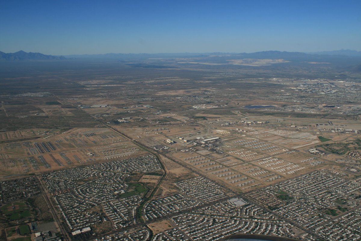
Only the western half of the boneyard planes are pictured here.
   
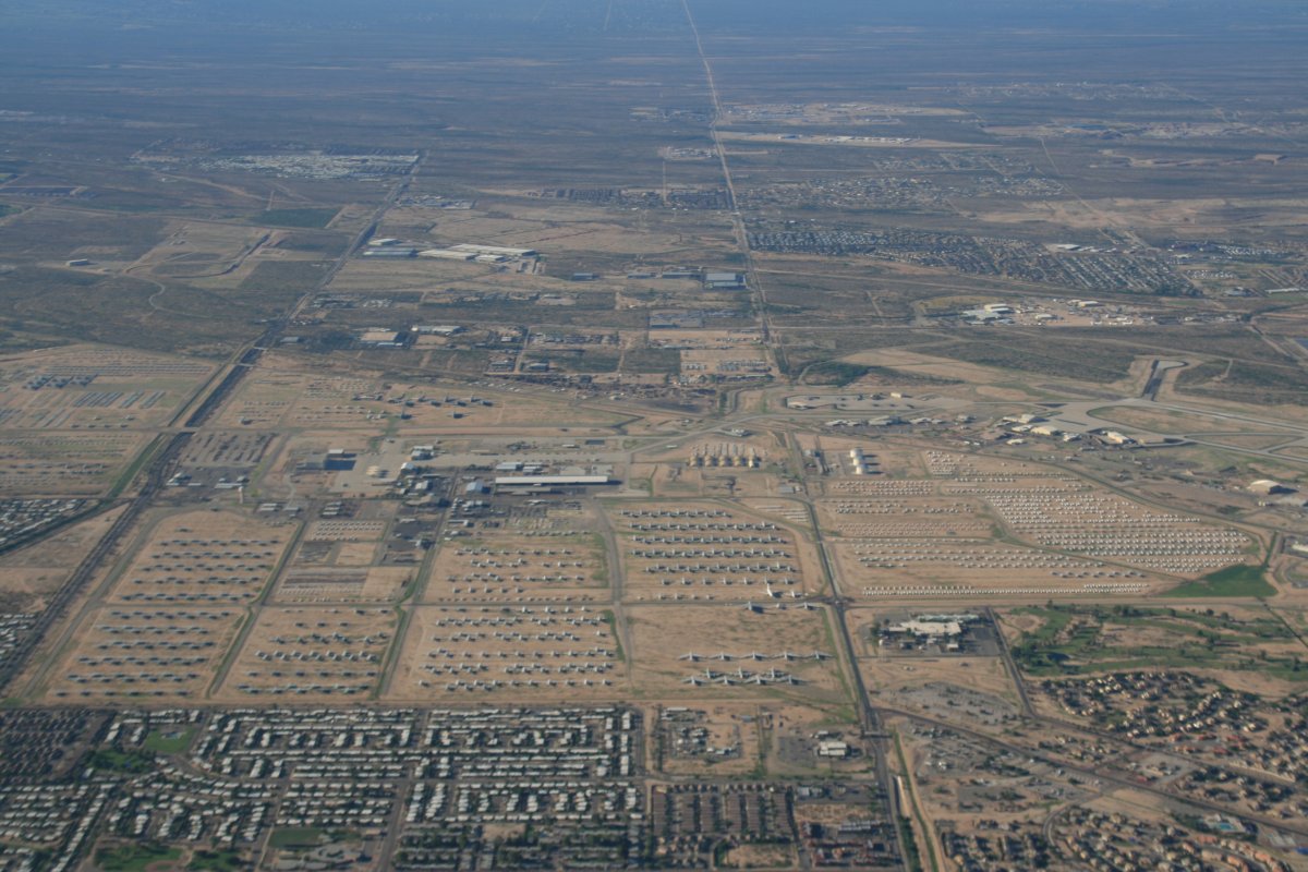
This is the eastern half.
   
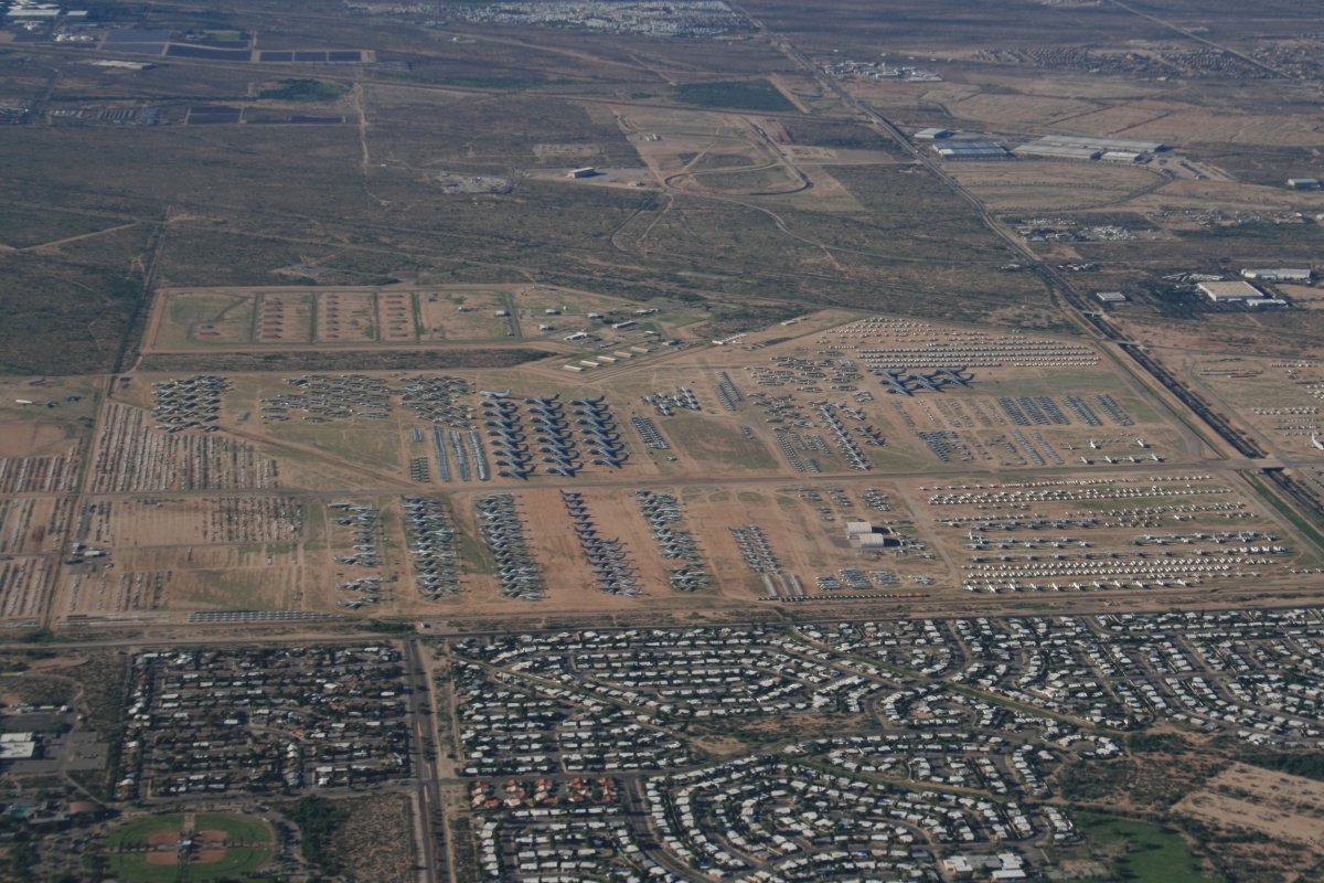
Most of the Boneyard can be seen in this picture.
   
Passing Apache Peak.
   
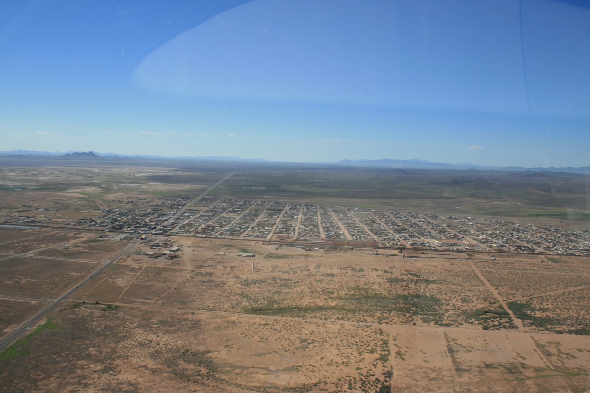
Approaching Tombstone from the west.
   
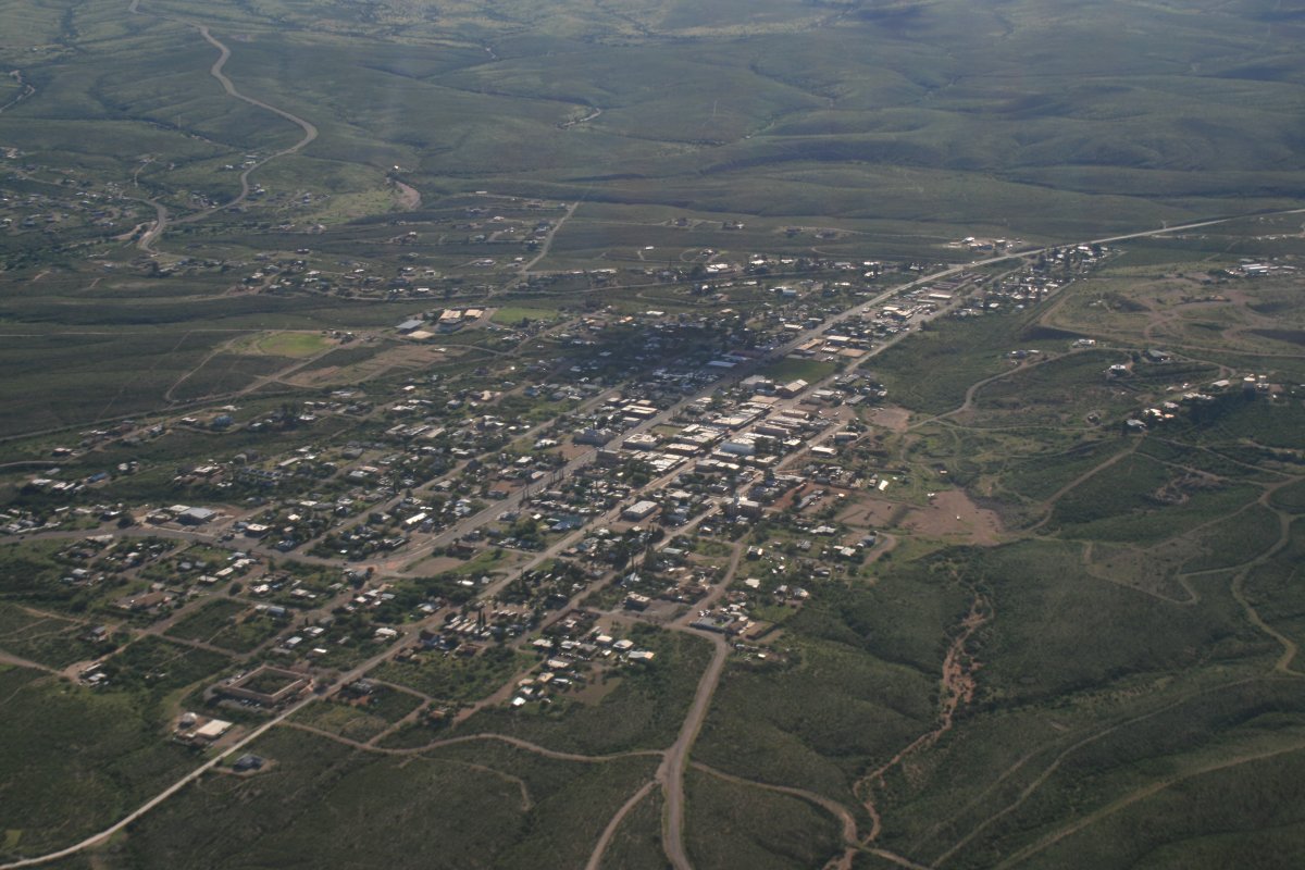
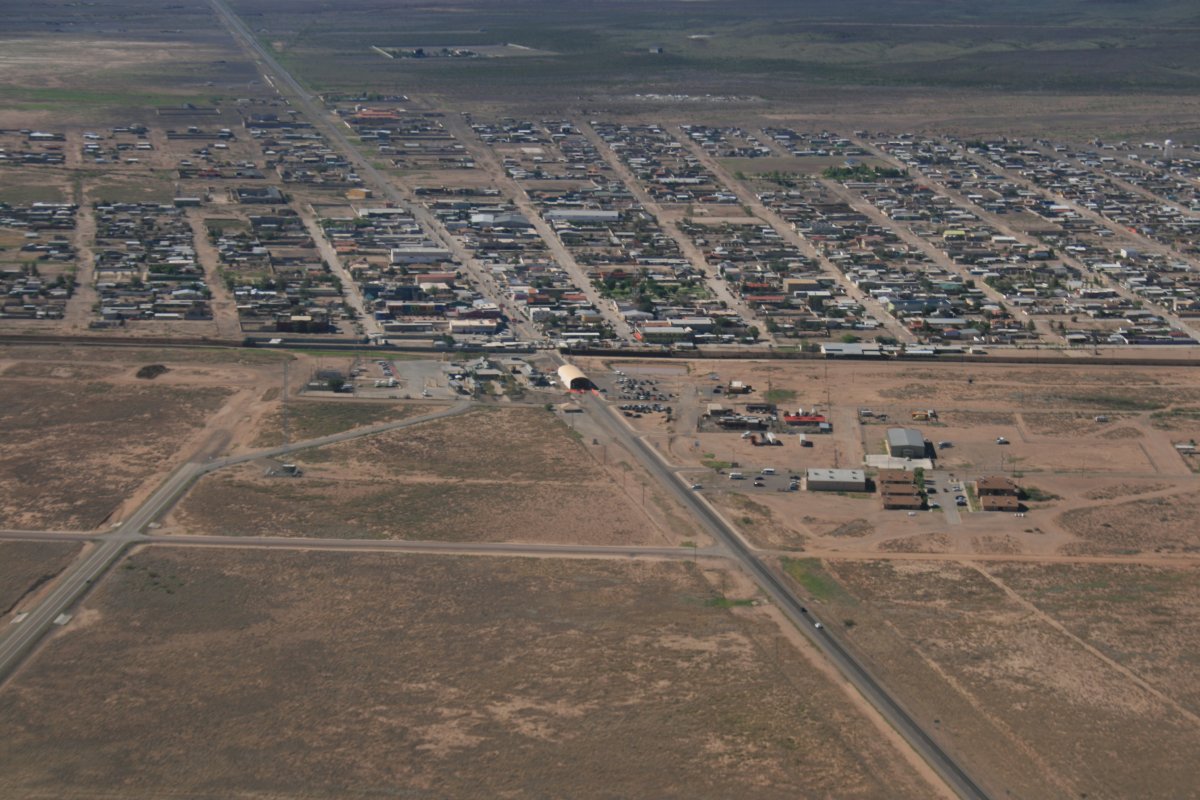
Looking down at Tombstone from the north side.  East to the left, west to the right.  My friend Johnny Bray took me here back in 1985 but I could recognize nothing from the air, not even Boot Hill.  I remember Tombstone as a neat western town.
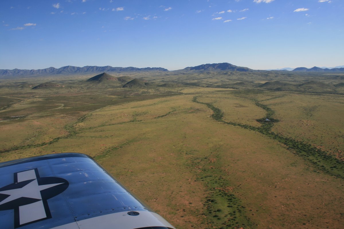
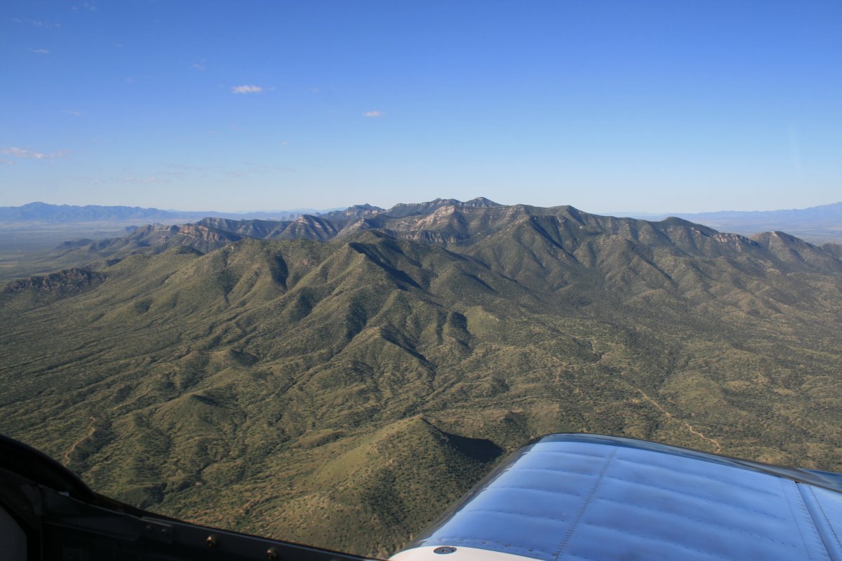
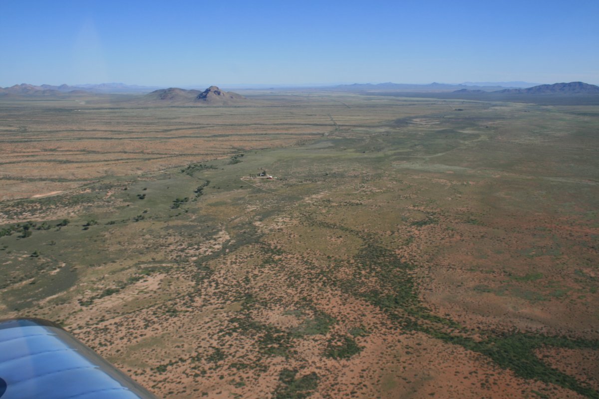
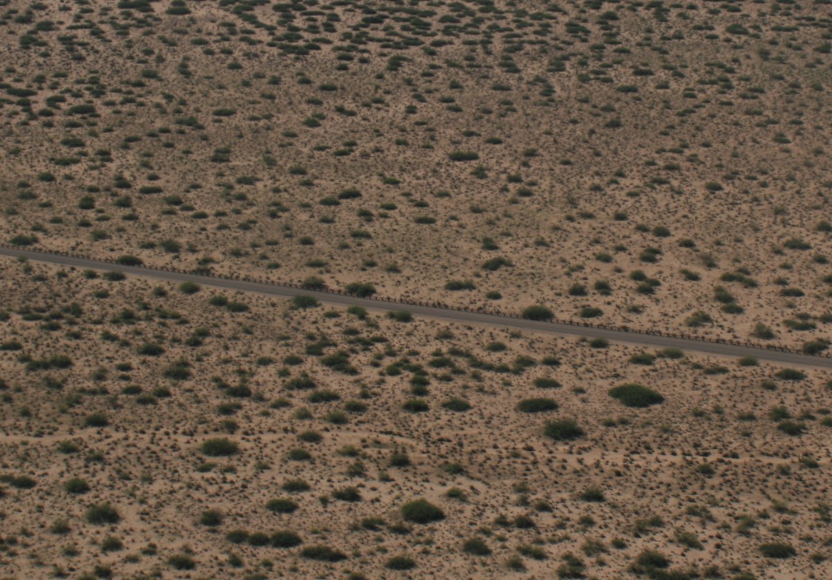
   
Tombstone Airport (P29) is a couple of miles southeast of town.
   
From Tombstone I headed due east.
   
Umm, not a lot out here.  Good place for some low-level.
   
Surprising green.
   
Not what I expected the desert to look like.


No problem finding a place to land here if I had to.
   
The plane is running great, though.
   
Heading east, I eventually converged with the border.  Mexico is the top of the picture -  USA the bottom.  That speck in the middle is a Cessna 172 flying right down the border line.  I figure it was a Border Patrol plane.  I flew parallel to it a half mile away and gradually  pulled ahead.  I'm sure he saw me -- we were at the same altitude.  Probably radioed HQ about the knucklehead flying around out here in the middle of nowhere.  They would get used to me the next few days.
   
The little Mexican border town of Puerto Palomos.
   
A close-up of the border crossing area.  A substantial fence is clearly visible.
   
However, a few miles out of town the fence downsizes.
   
A Border Patrol cruising down the border.
   
Soon the fence downsizes again to something I could have jumped over in my younger days.
   
The view to the north.  Now that's what I call a desert!
   
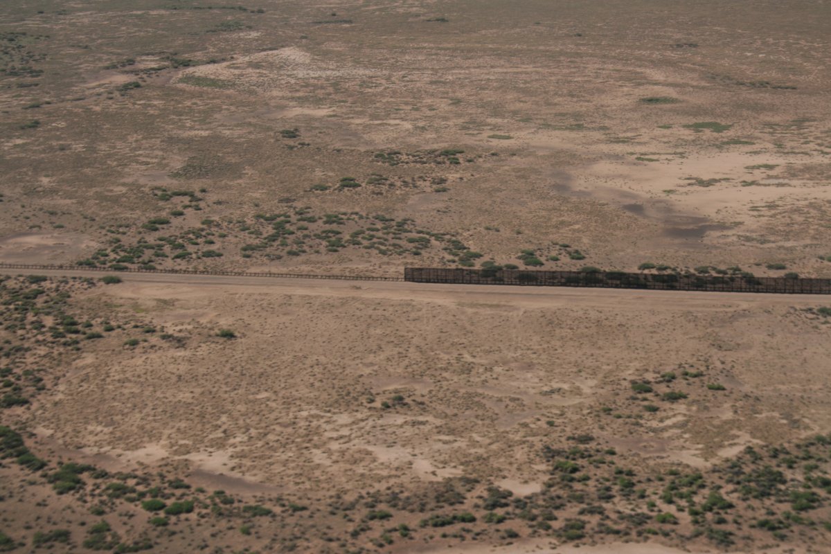
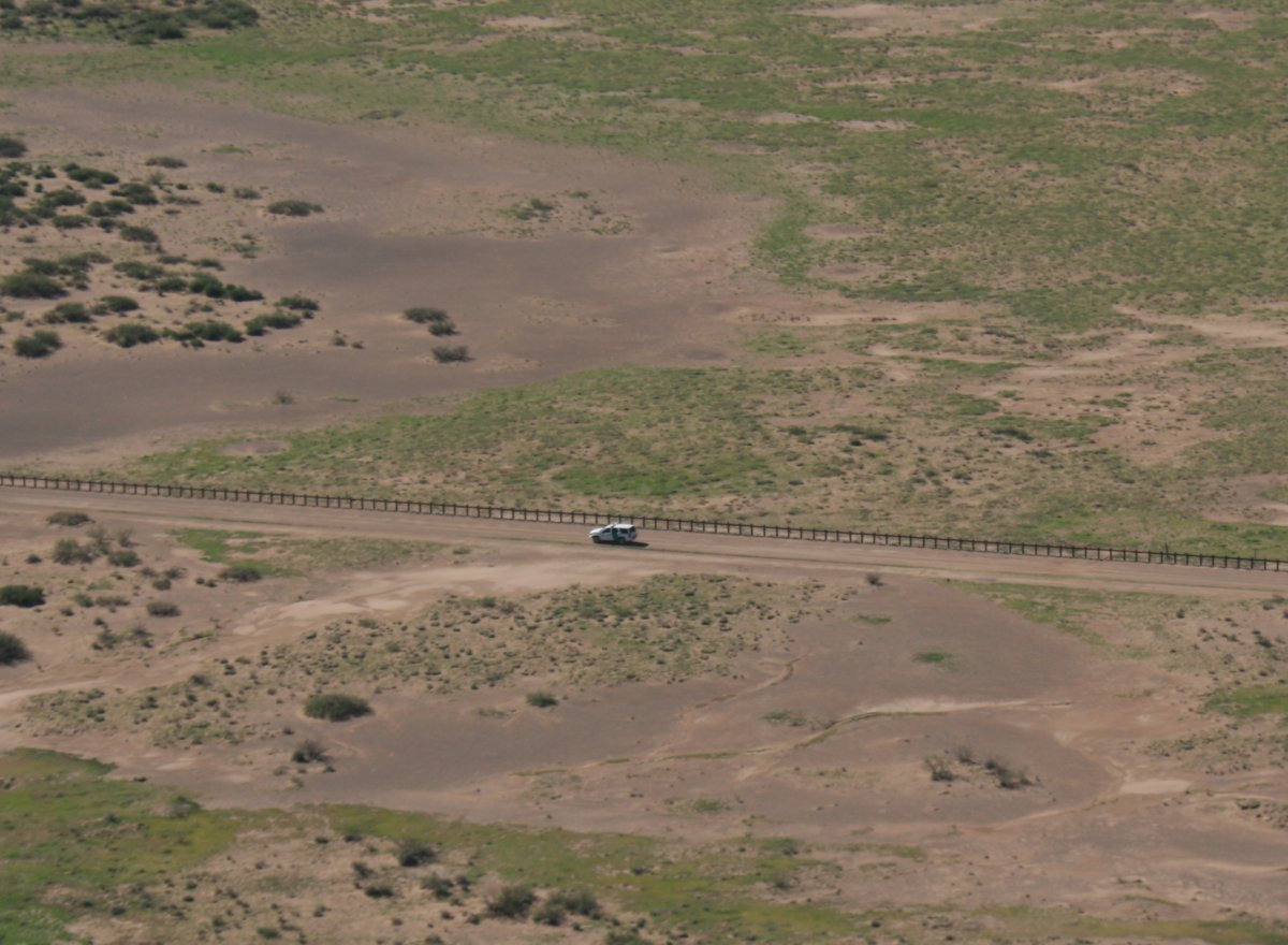
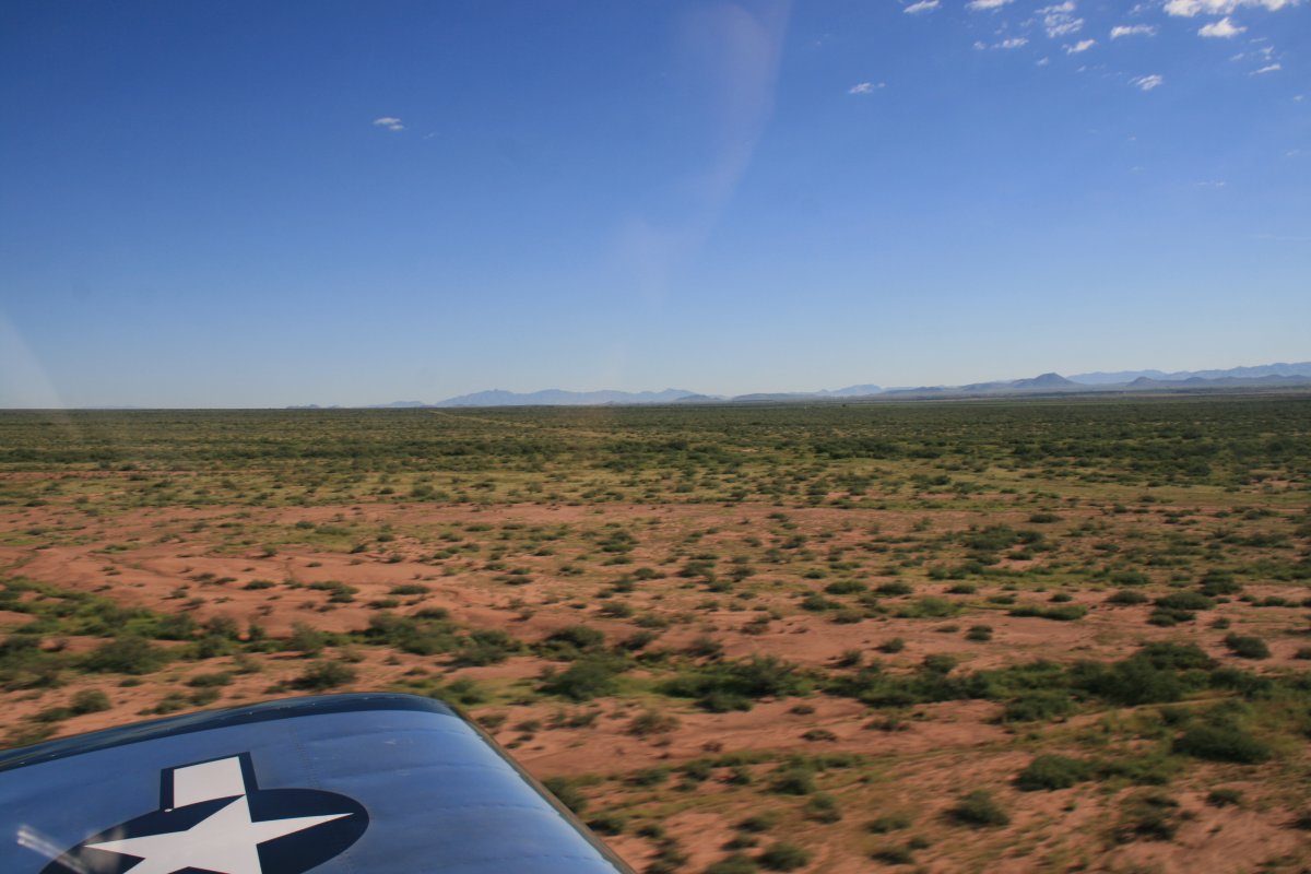
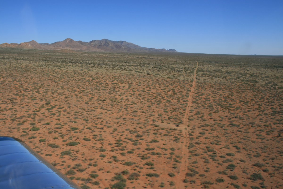
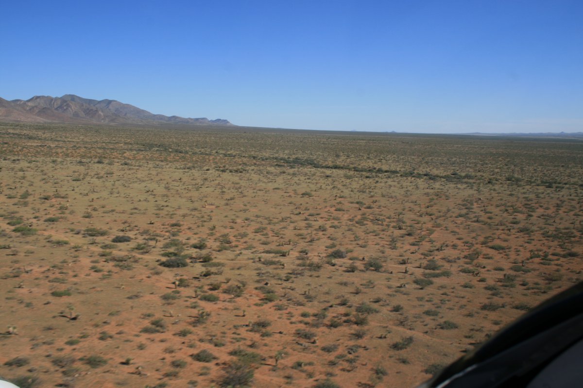
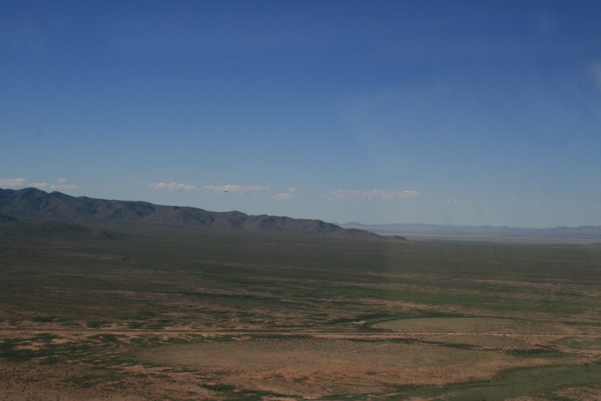
Just cruising east alongside the border.
   
And cruising.
   

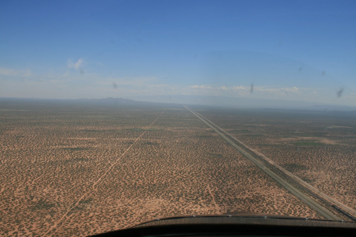
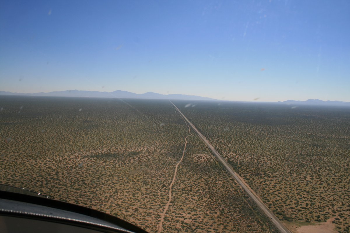
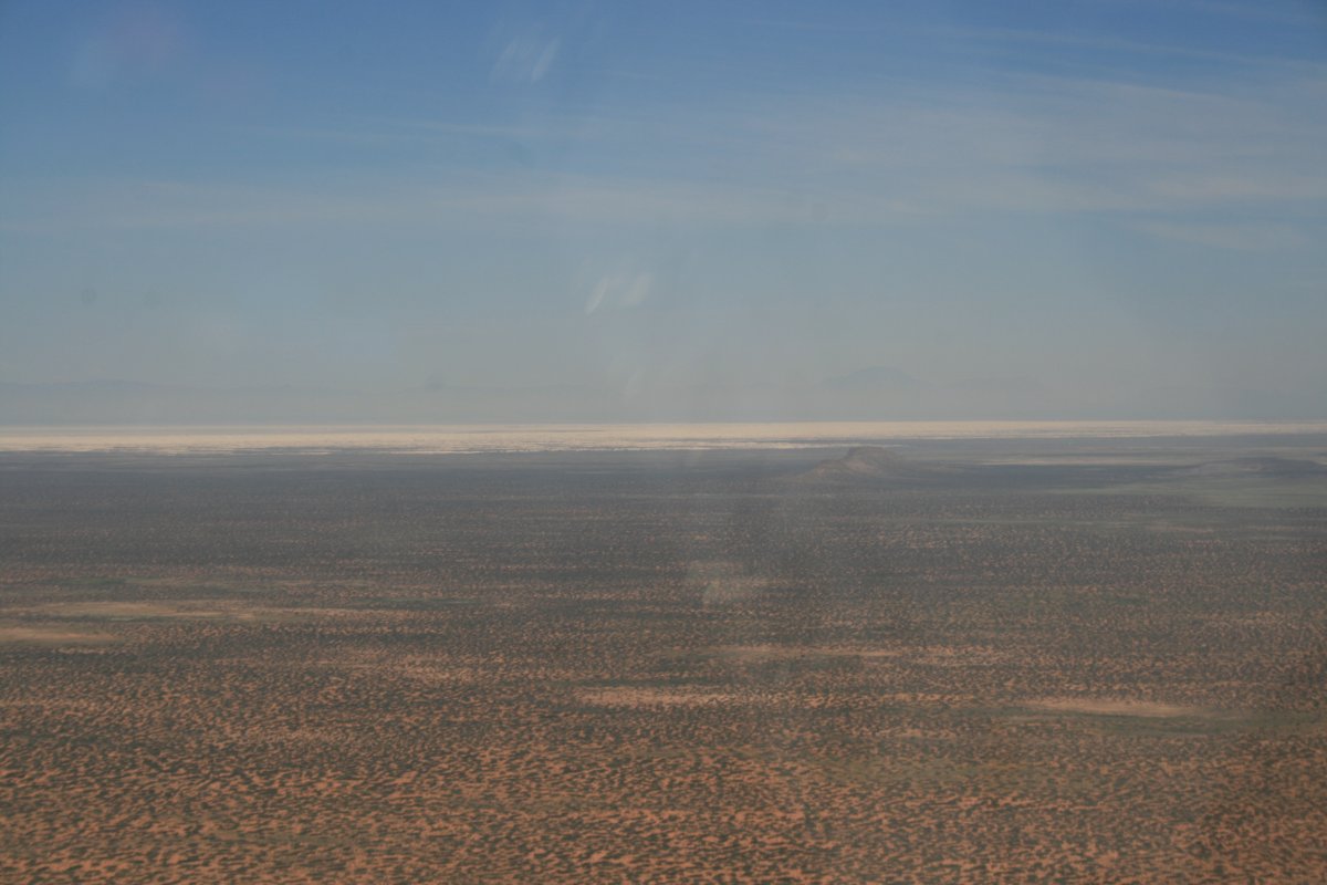
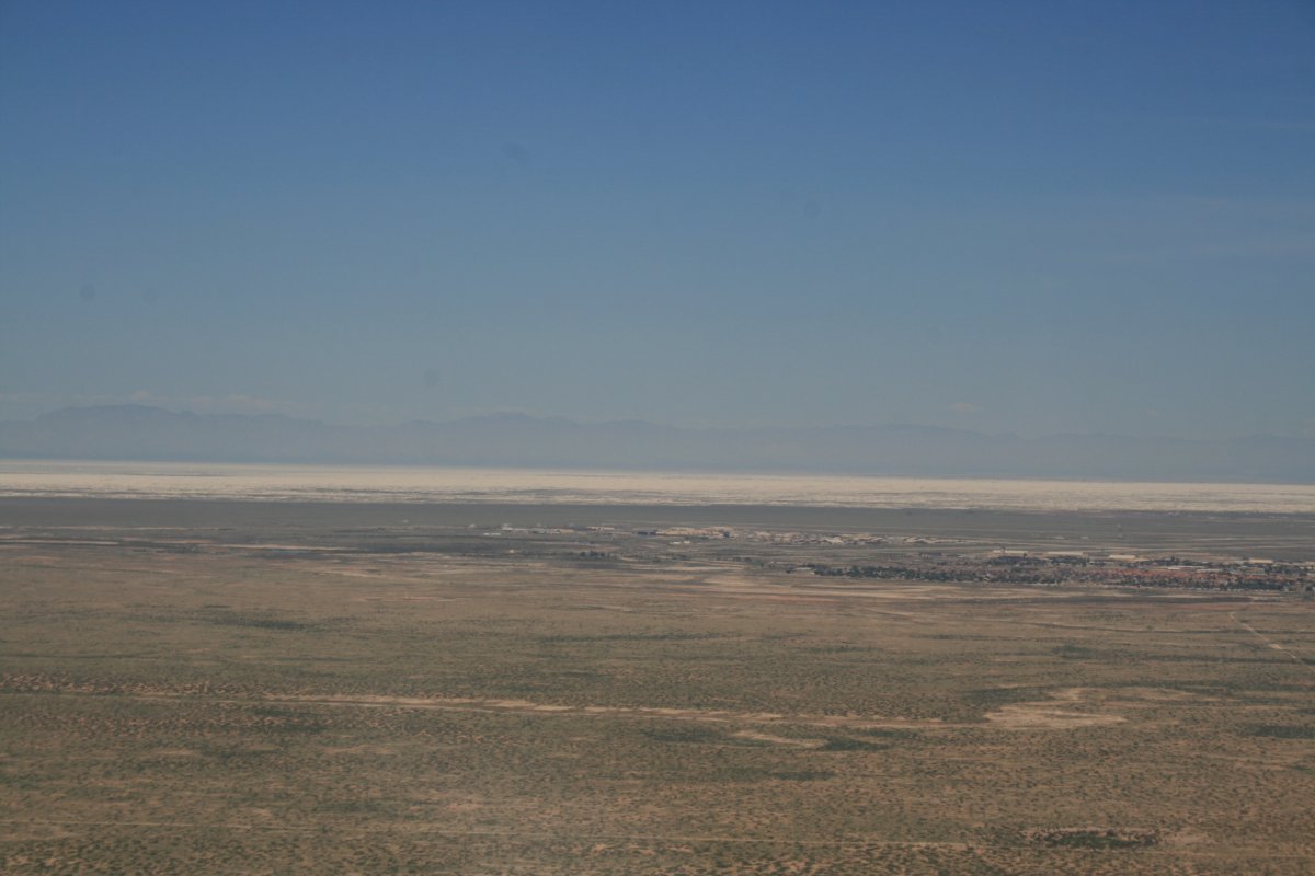
Just before I reached El Paso, I turned northeast.  I was headed for Alamogordo and the White Sands.   I flew through a narrow corridor between two restricted airspace areas to get to Alamogordo.  It was easy to navigate; just follow a highway.

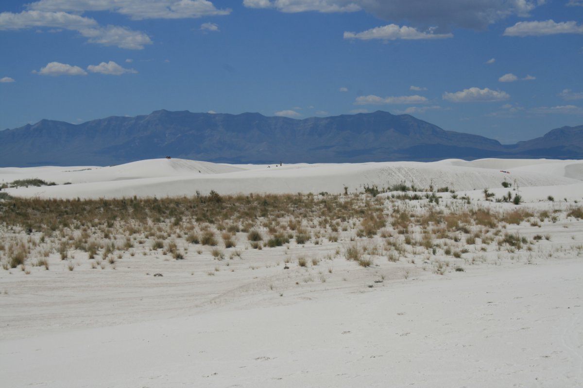
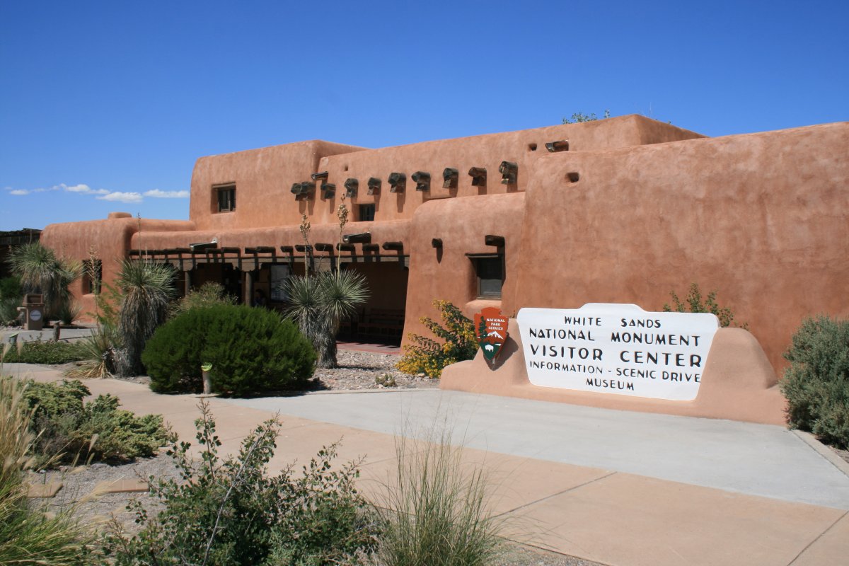
Below, the White Sands are visible in the distance.

   
A little closer.  Holloman Air Force Base is just below the White Sands area.
   
On downwind at Alamogordo Regional Airport (KALM).
   
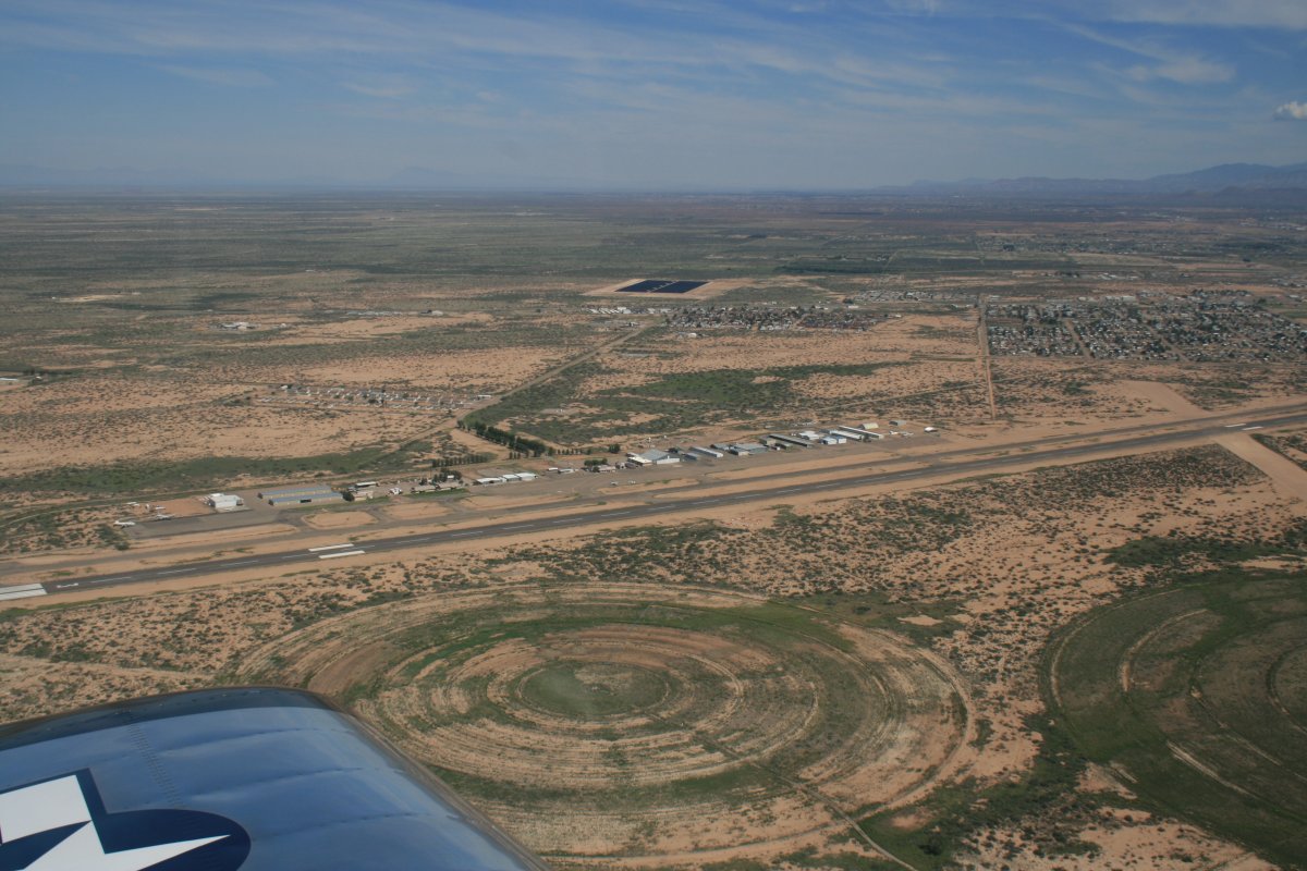
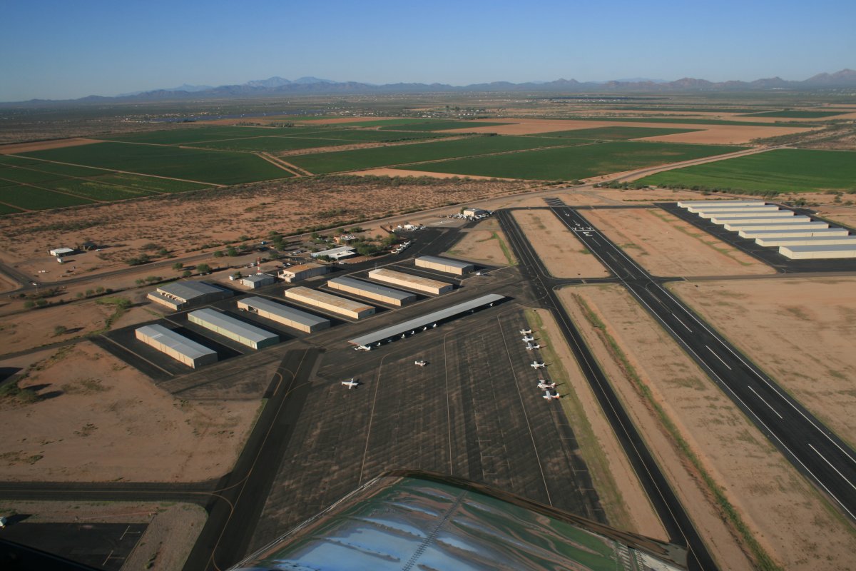
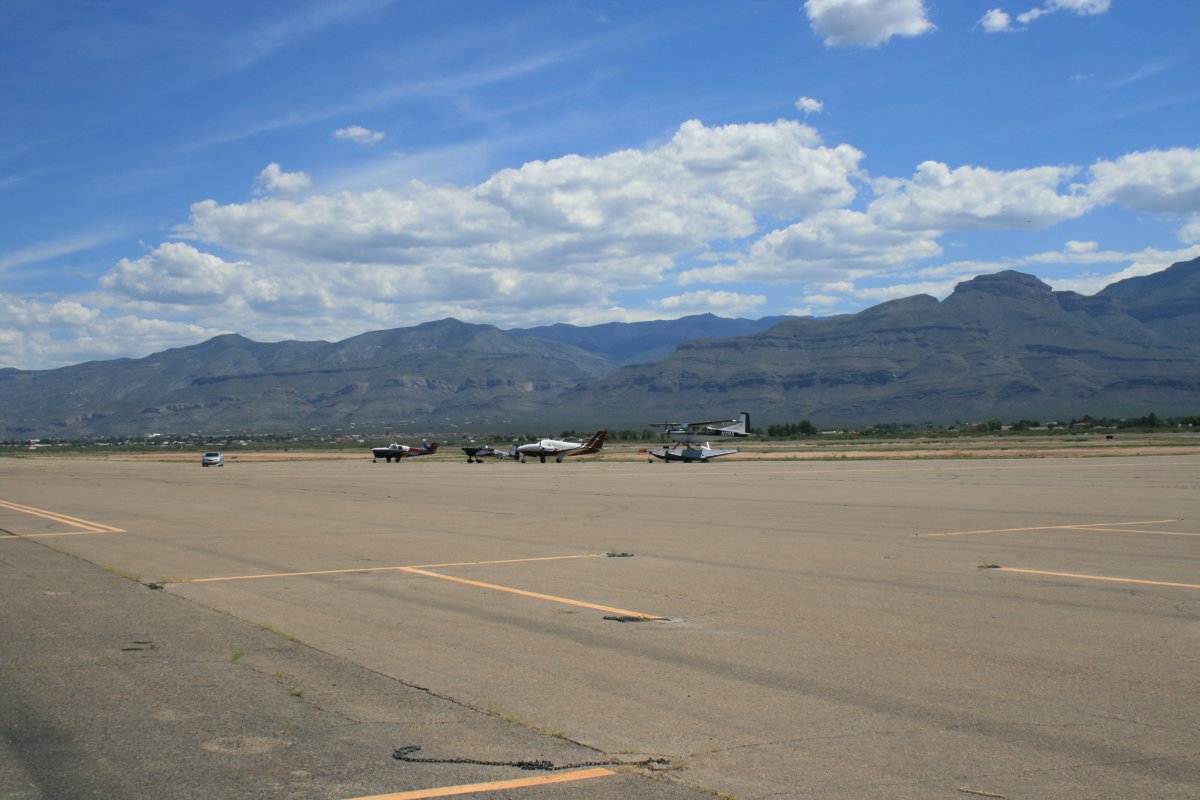
The terminal at Alamogordo.
   
My little plane parked on the line.
   
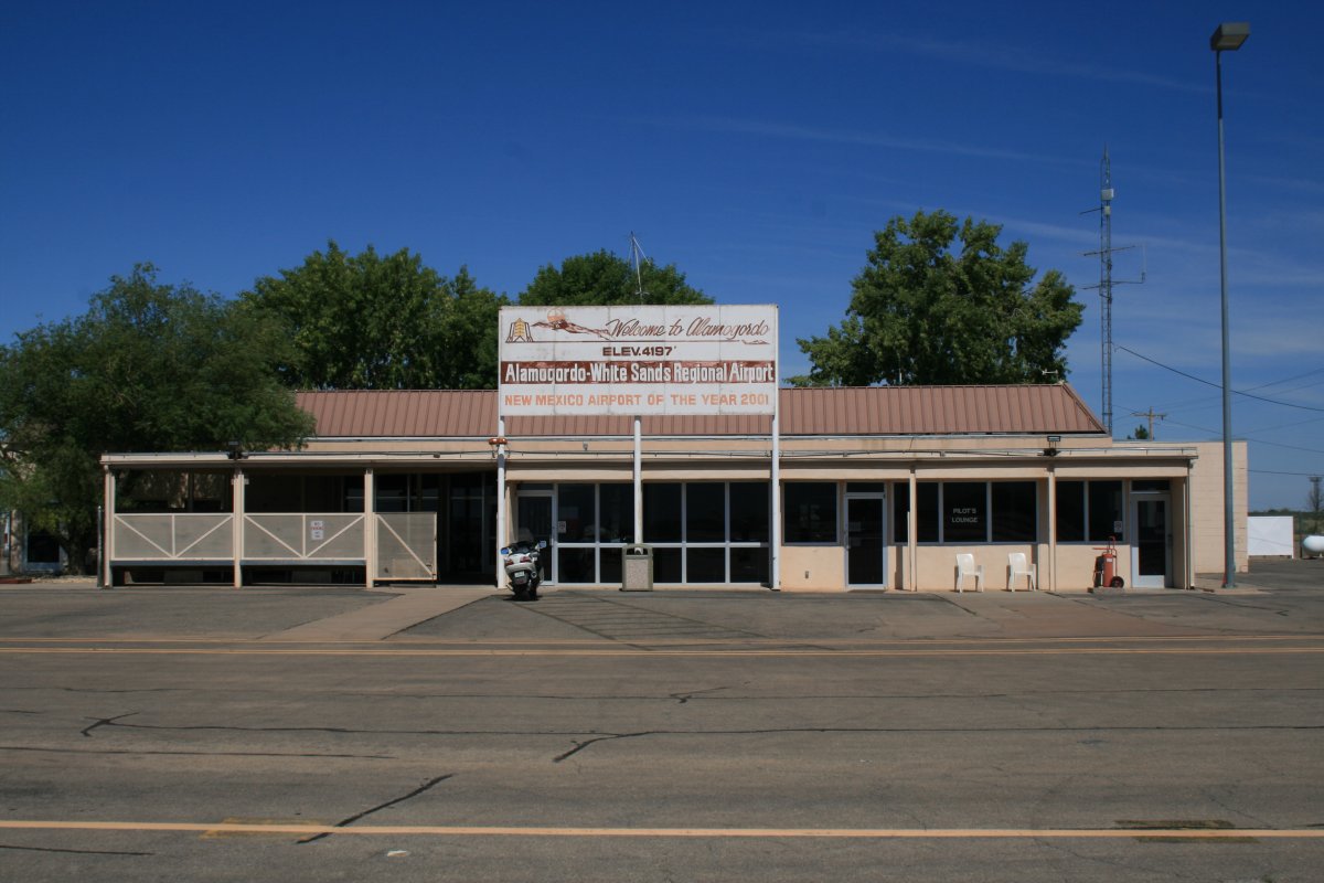
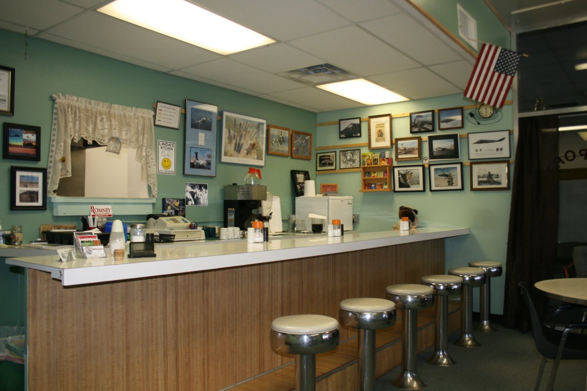
I had lunch in the airport restaurant inside the terminal.  I had a green chili burger.  Recommended.
   

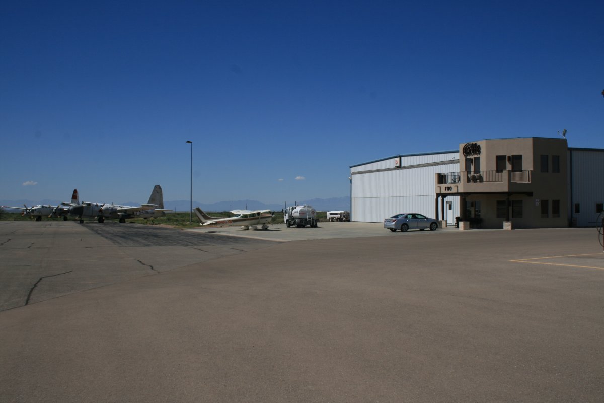
The FBO building was at the south end of the building.  I arranged for fuel there, and they let me use the courtesy car.

Alamogordo is used frequently as an aerial firefighter base.  Notice the two P-2 Neptunes to the right.

   
I drove the courtesy car out to the White Sands National Monument.  First I toured the visitor center.  Not a whole lot to it but what there was was interesting.
   
Then I drove into the park.  The asphalt road soon ended and I was driving on sand.  It looked as if I was driving on a freshly snow-plowed road.
   
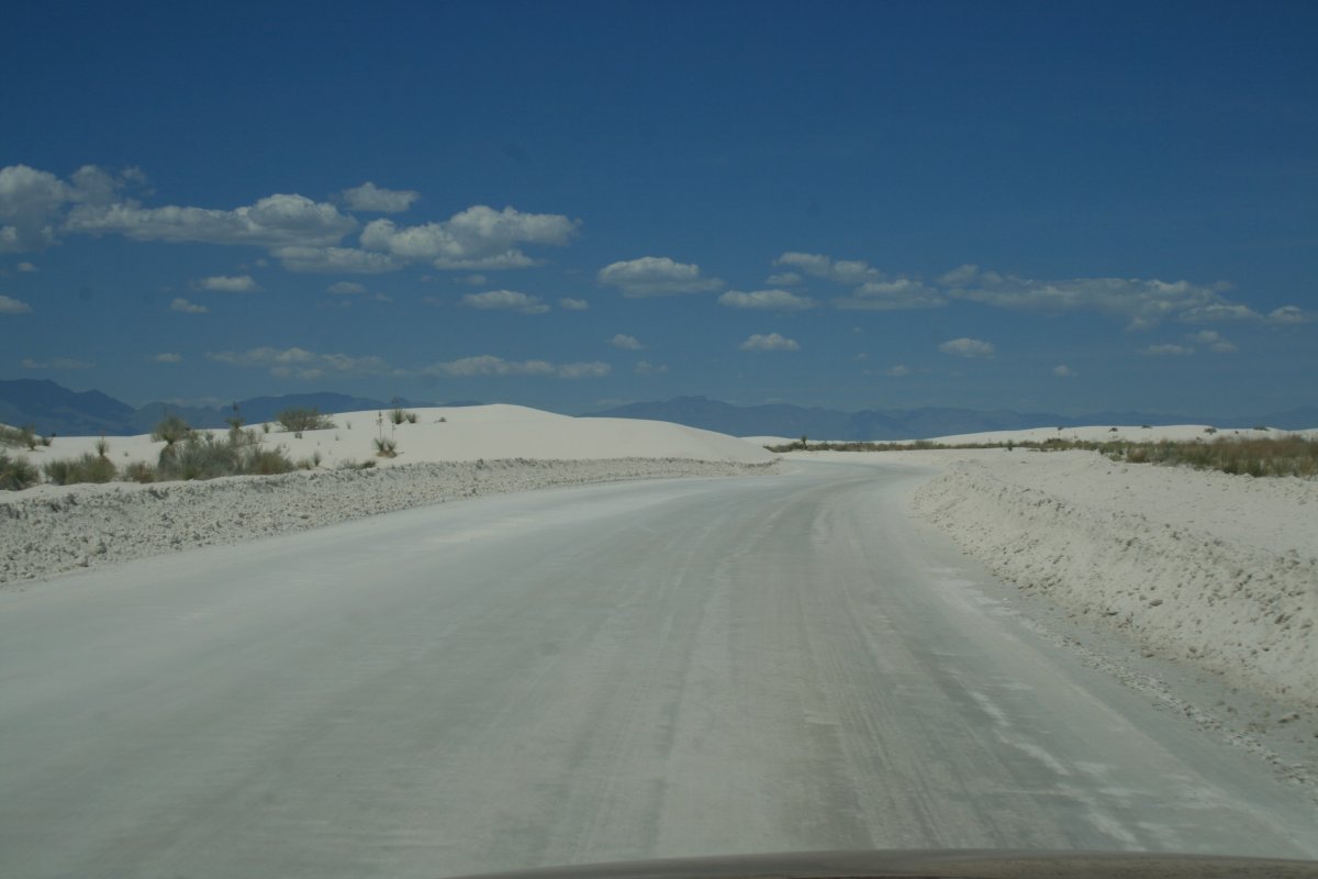
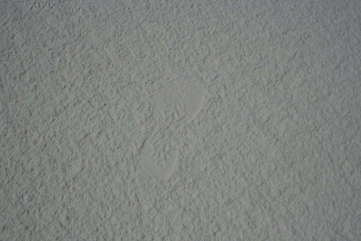
The sand was as white as you can get.
   
 
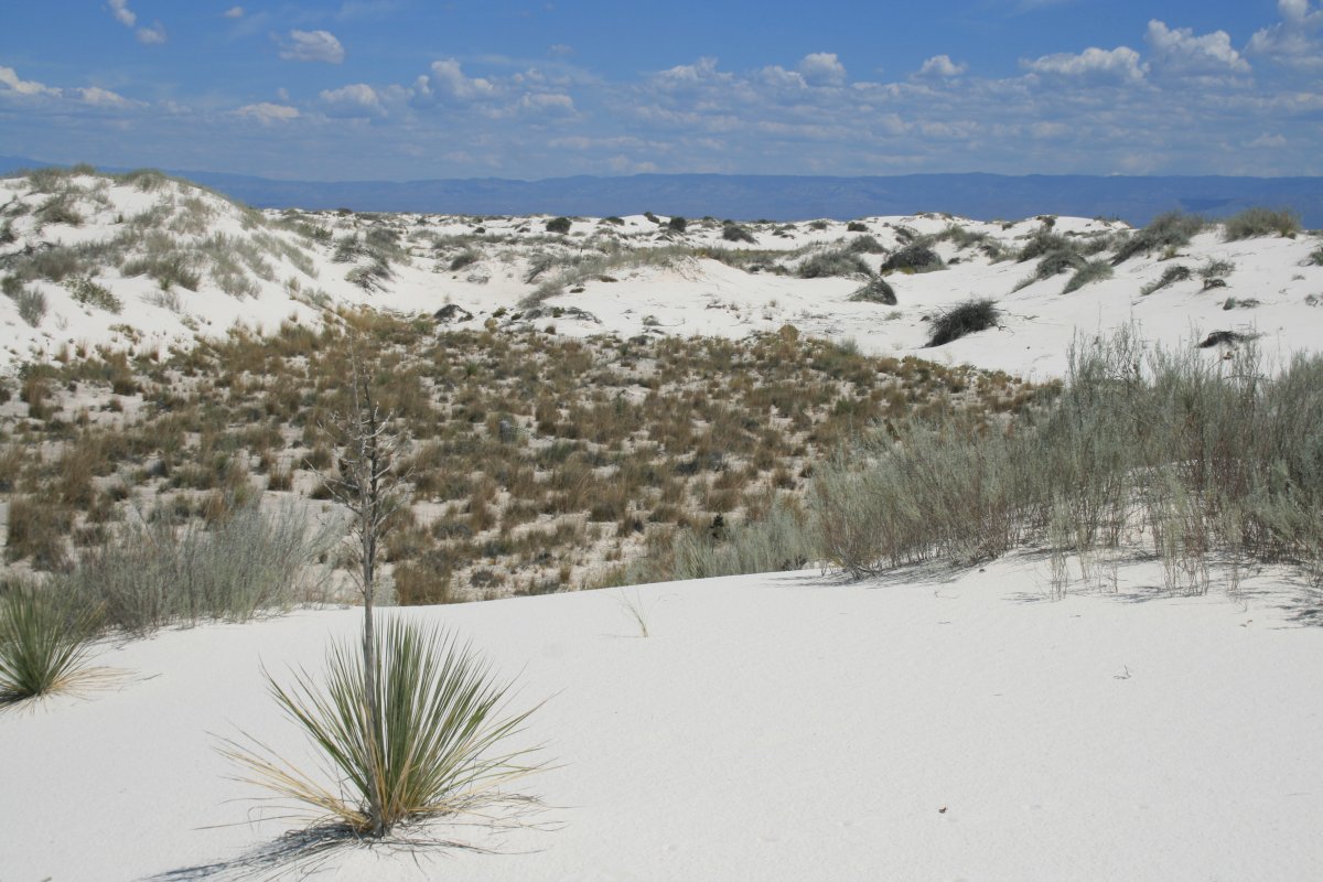
The sand hills stretched as far as you could see.  I only hiked a hundred yards or so in.   Some people had plastic sleds for sliding down the sand hills.
   
A small step for man, a giant leap for general aviation.
   
A very neat place.  But hot.  You better have sunscreen, shade, and lots of water if you were going to stay out here for any length of time.


Previous
Home
Next