Day 8 Part 1 - Canyonlands Airport, Utah to Page, AZ
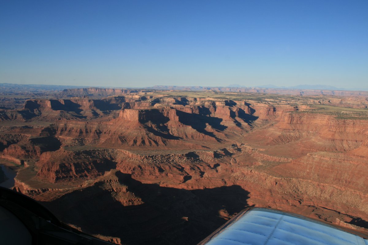
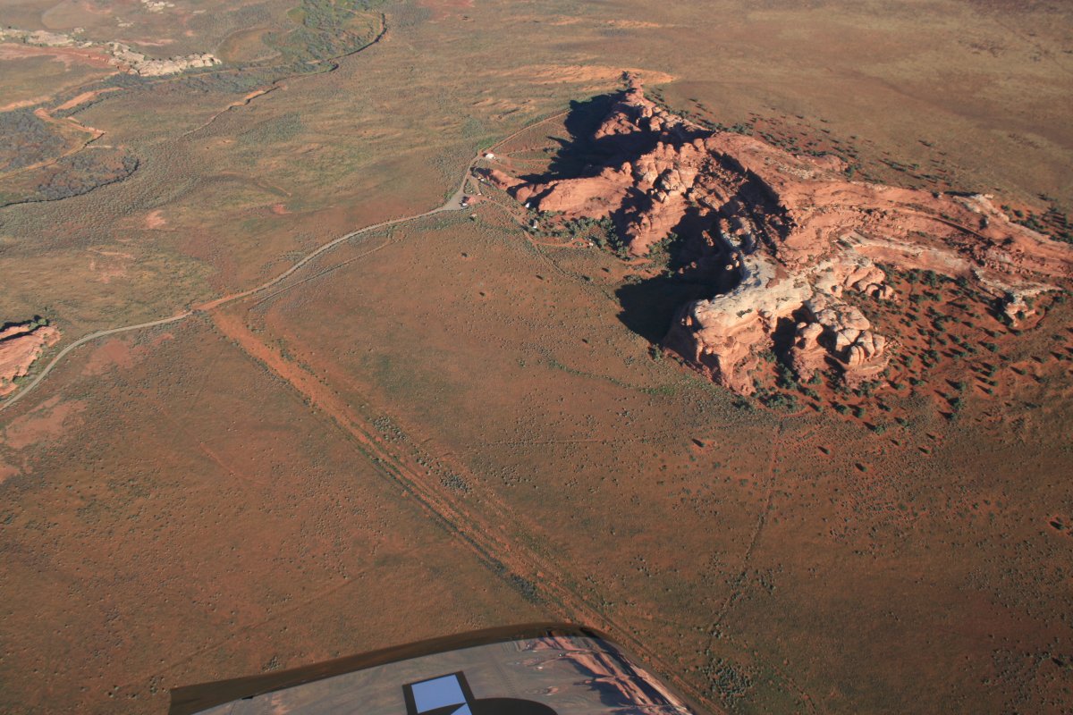
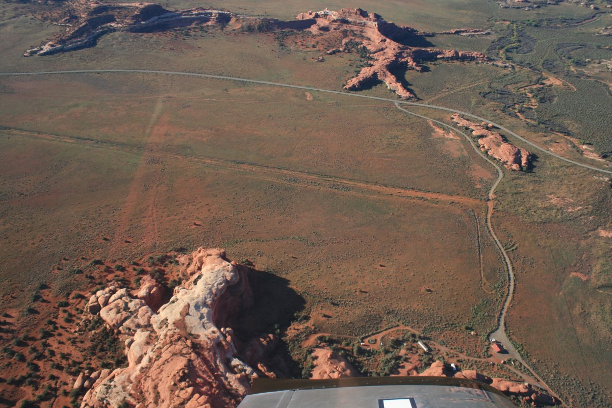
The helpful FBO attendant had shown me the route the tour planes take so I flew that. I started off by flying over the "Island in the Sky".
There's a good look. It looks like a big landing field to me.
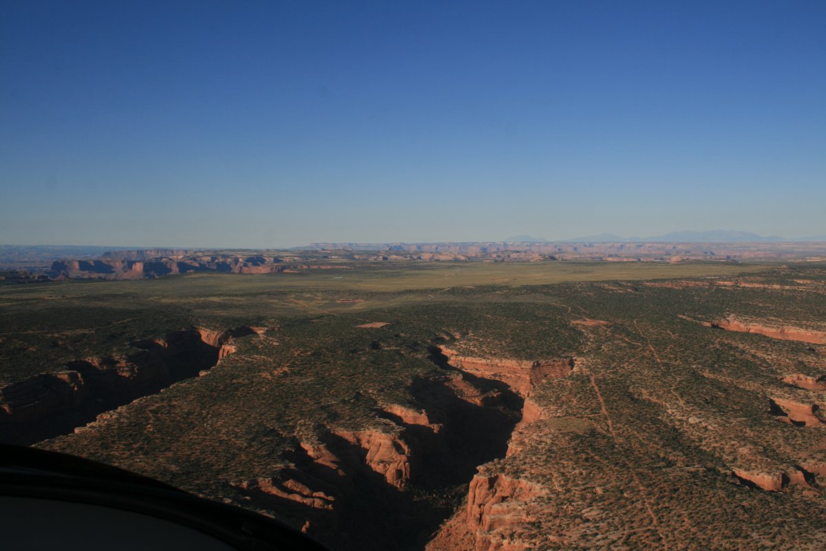
An early start is required to get this great view but it is worth it.
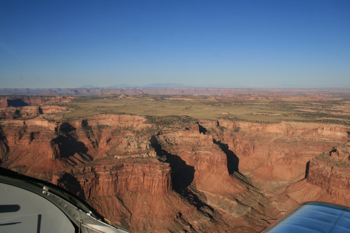
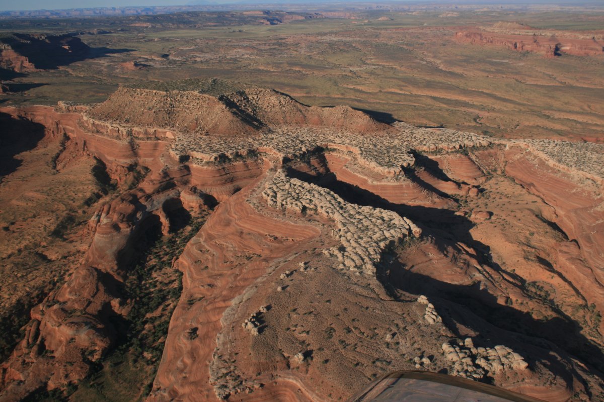
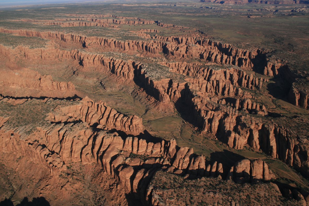
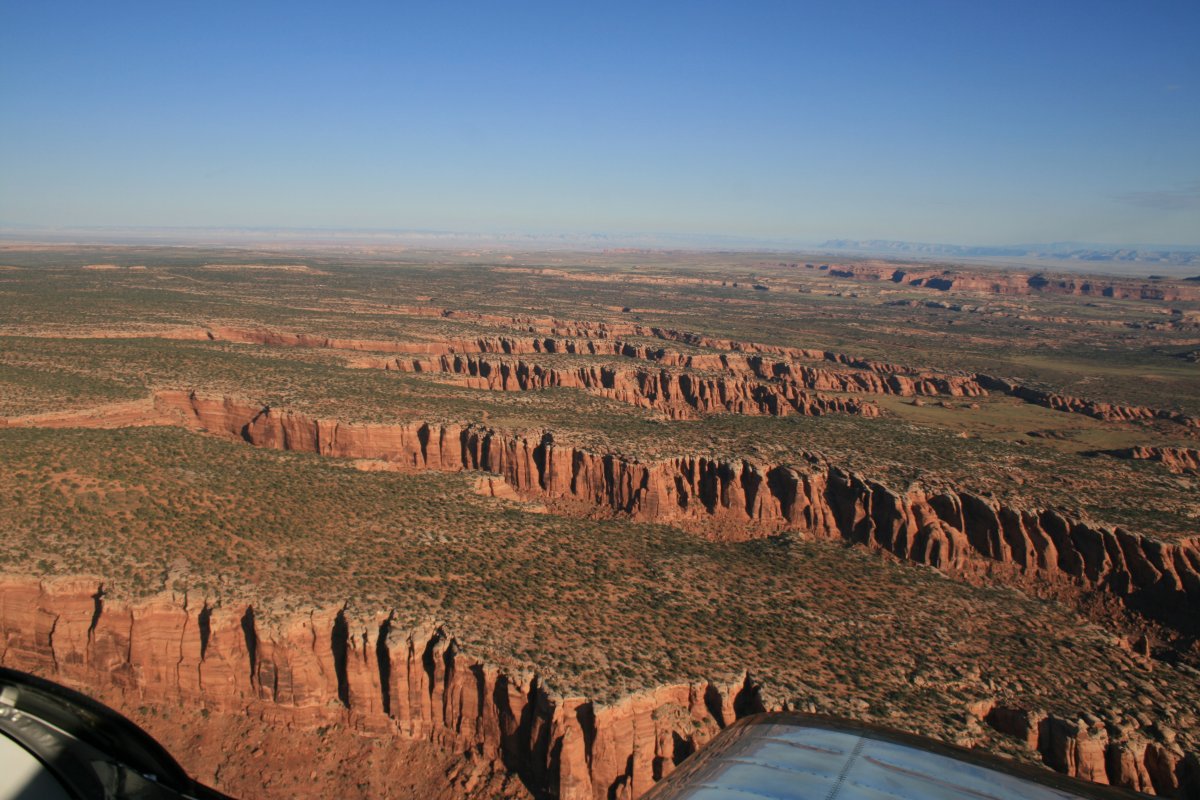
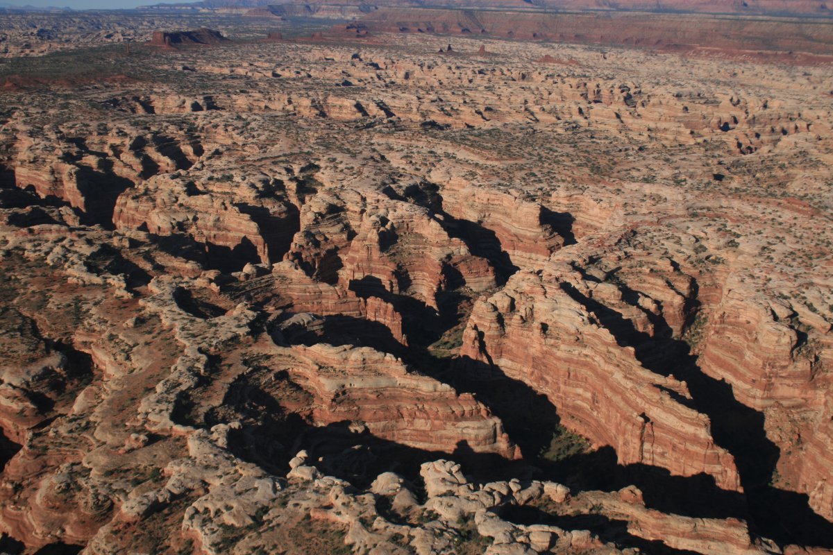
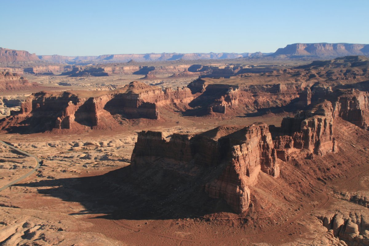
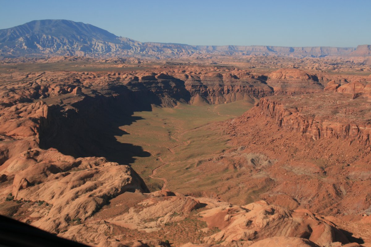
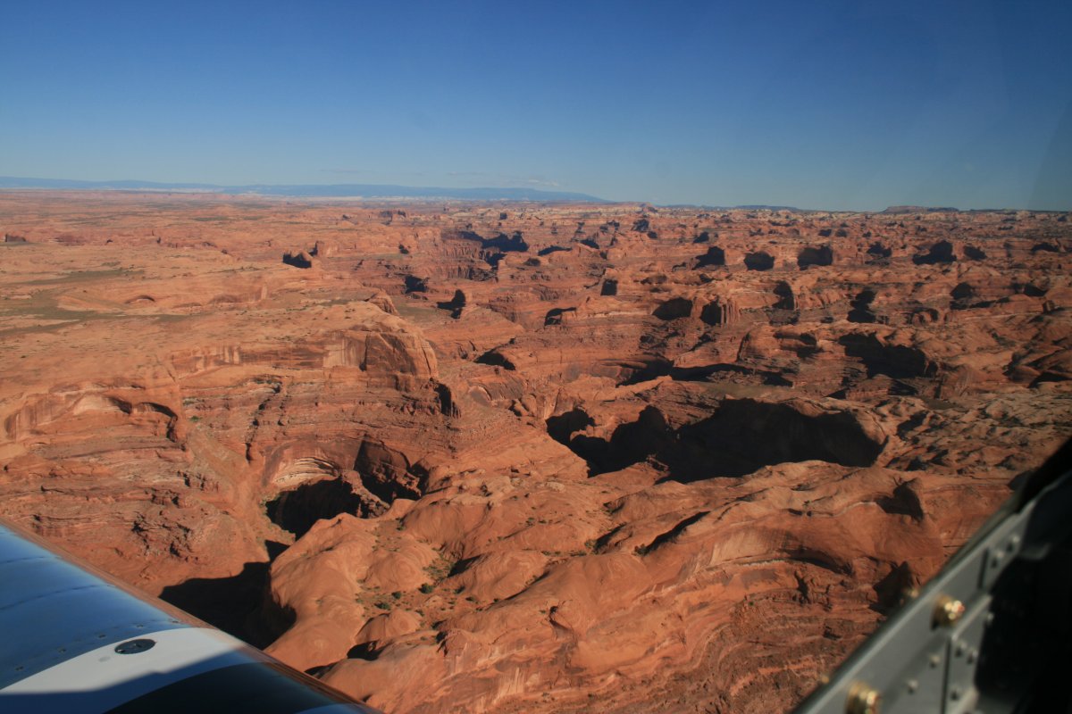
From Needles, I headed west to an area called "The Maze". I guess this is it.
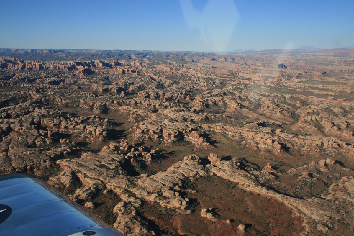
This looks kind of mazelike too.
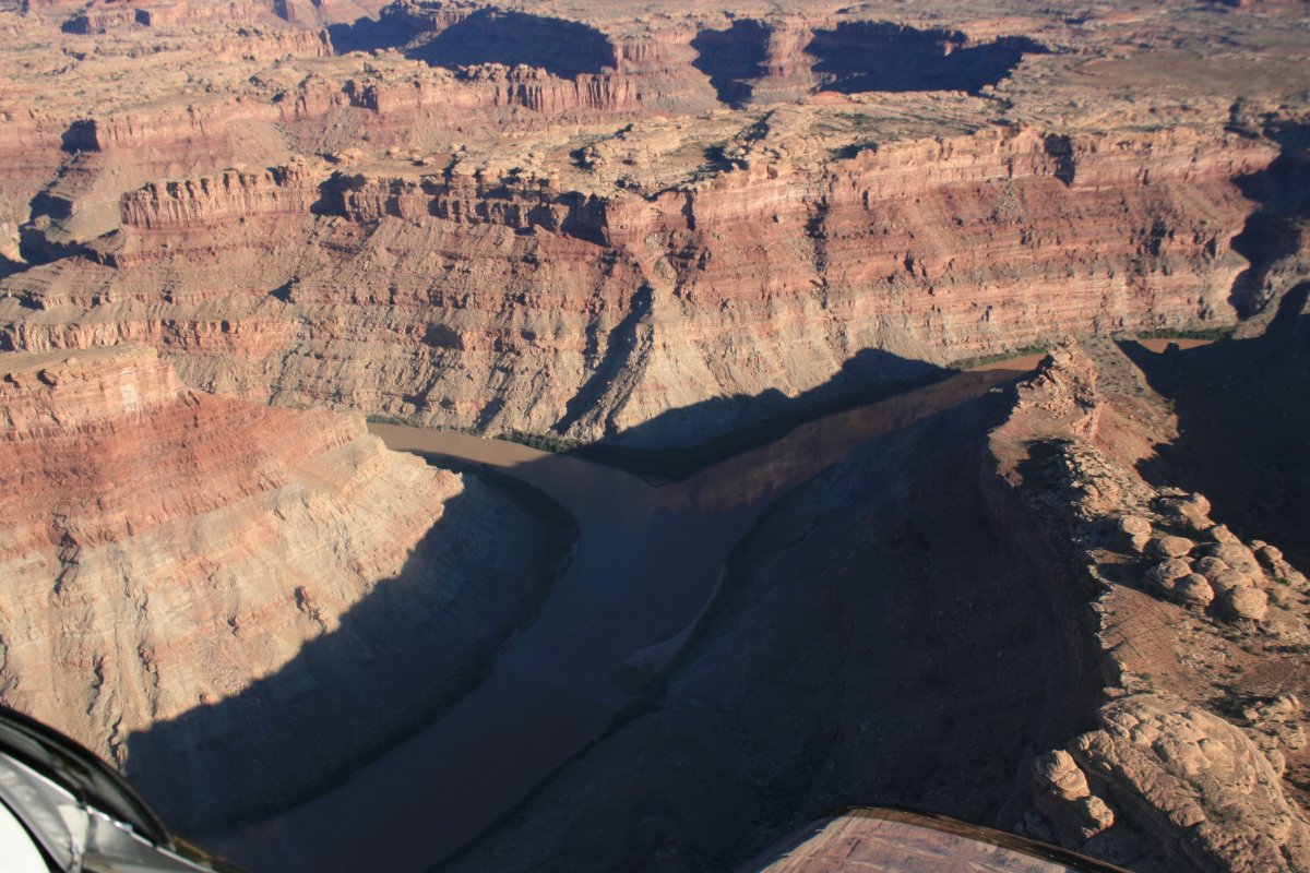
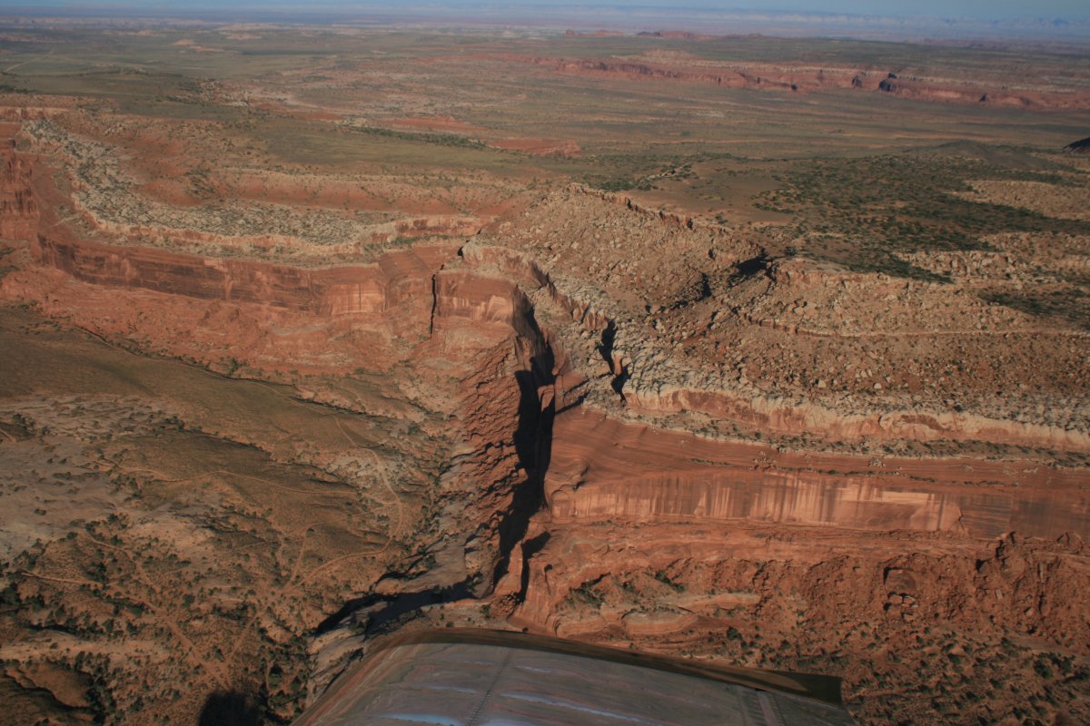
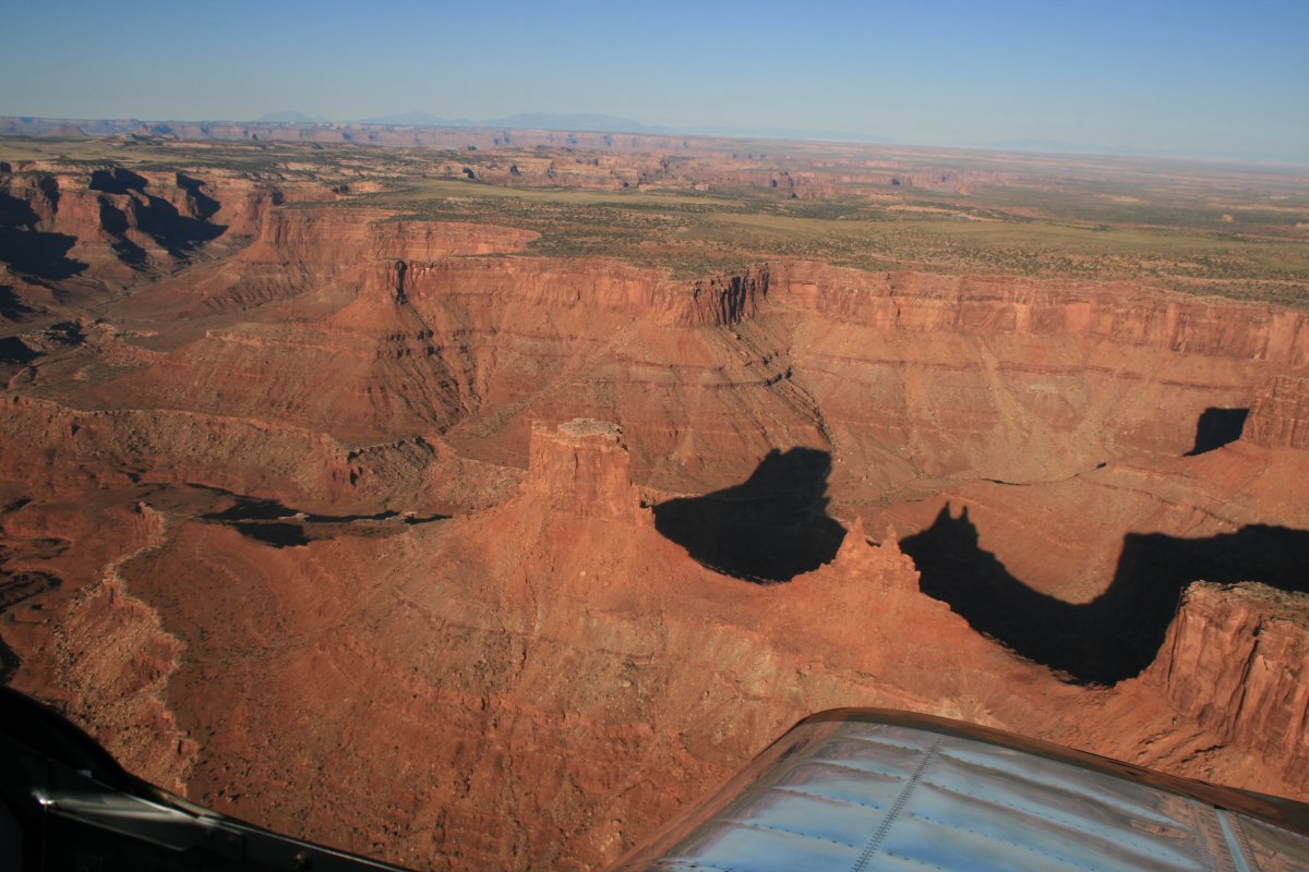
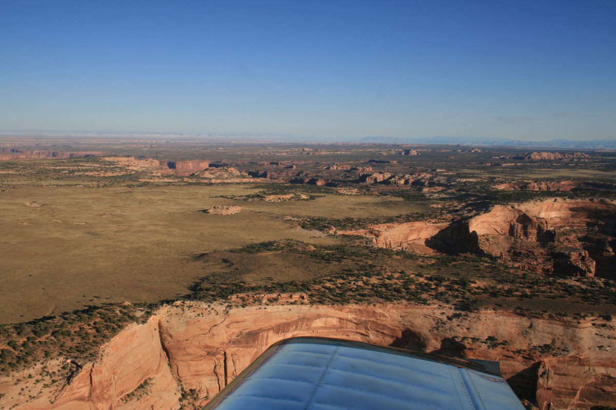
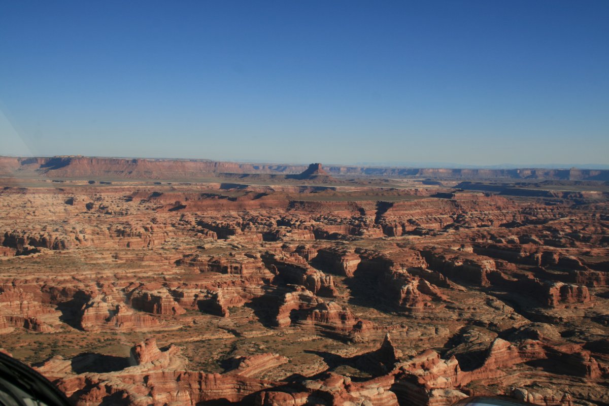
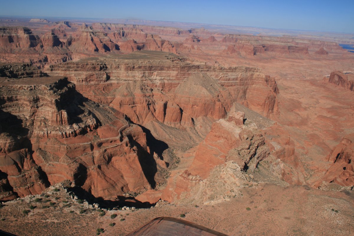
Now I'm heading south following the Colorado River.
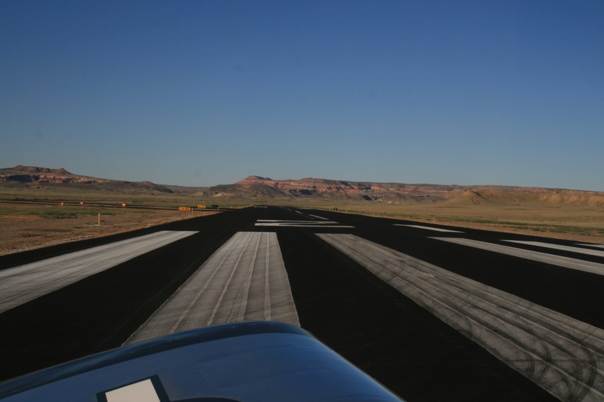
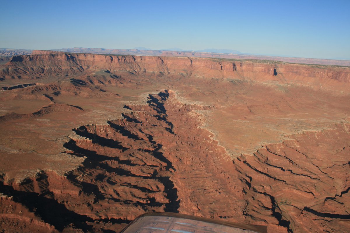
A straightaway.
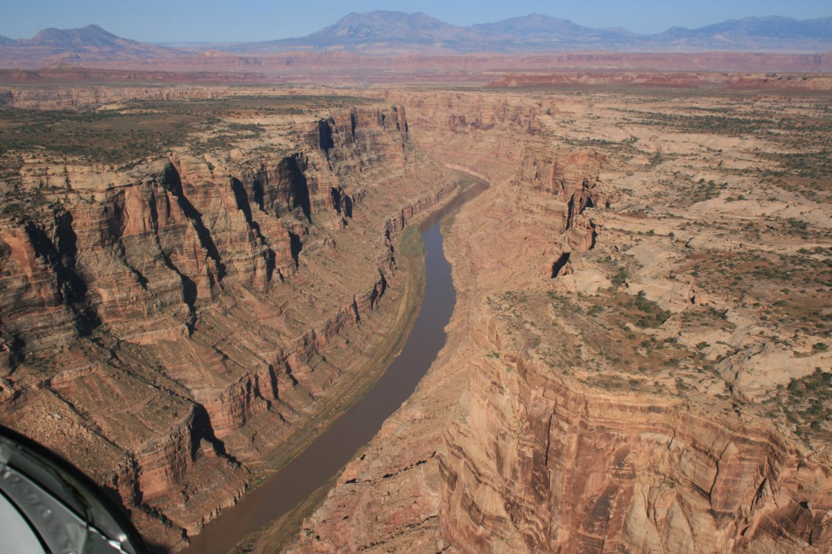
Whoops! Hairpin turn!
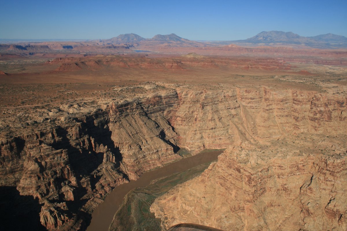

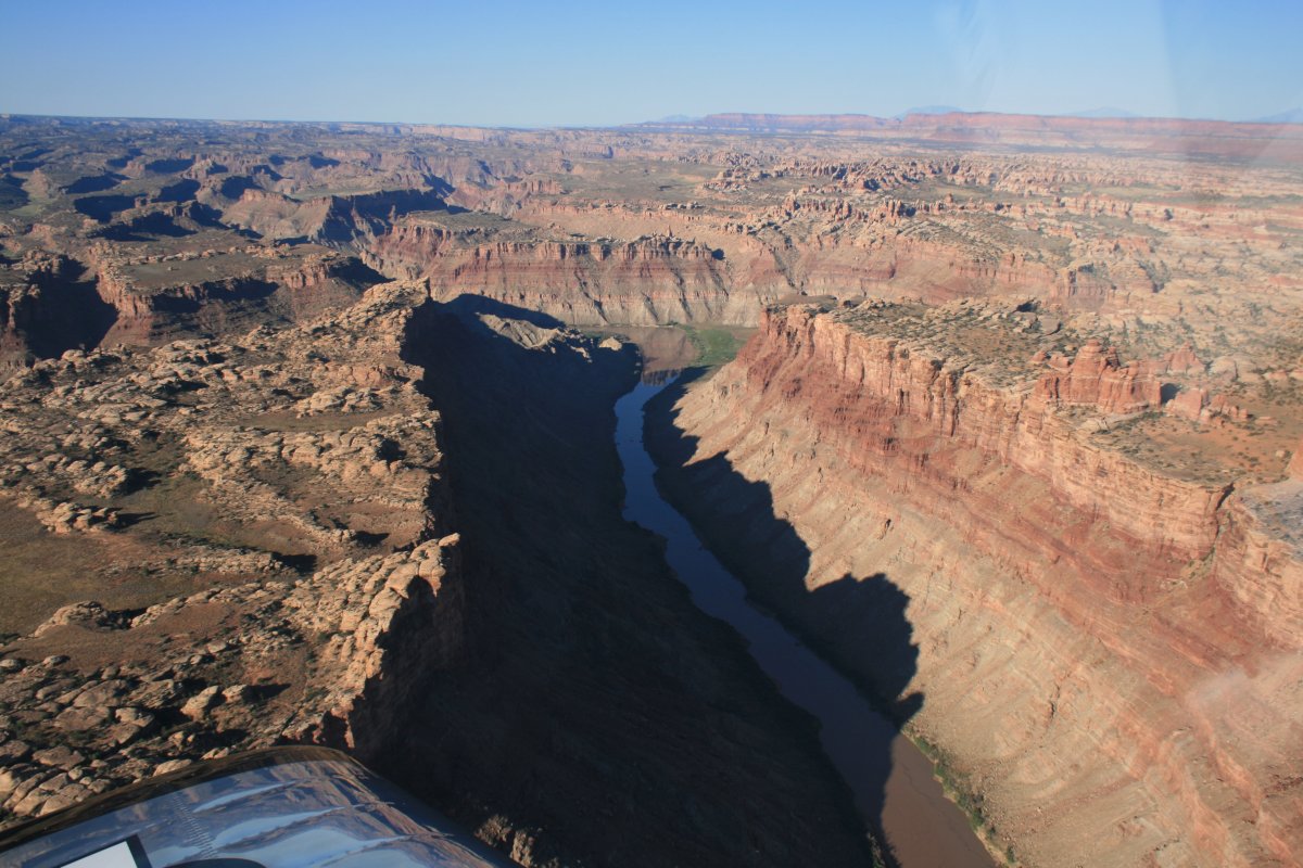
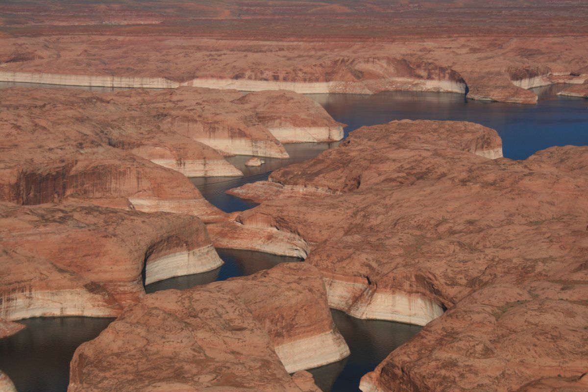
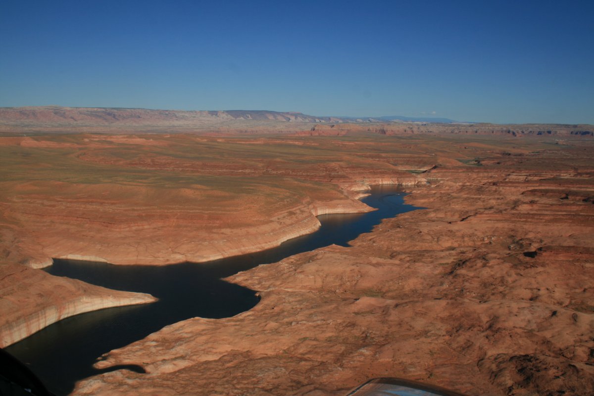
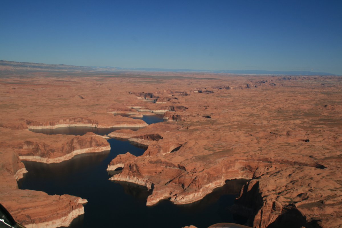
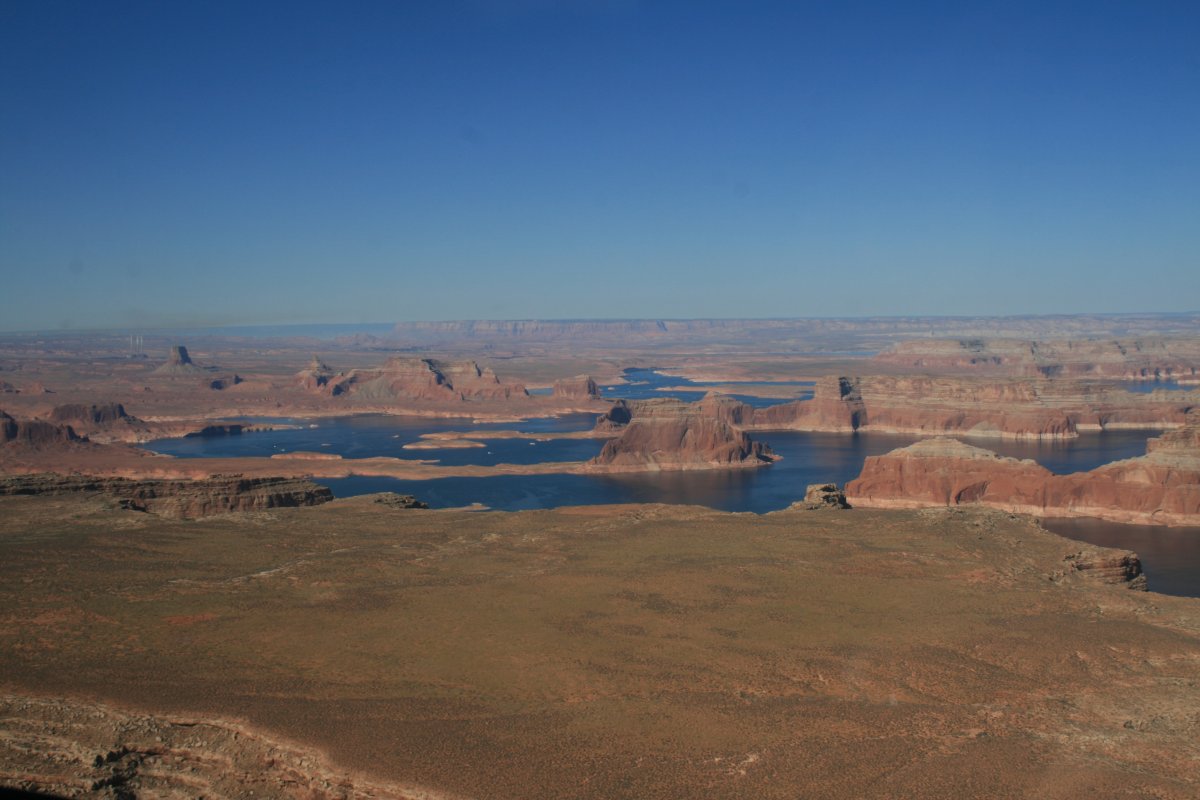
The Colorado River is starting to turn into Lake Powell.
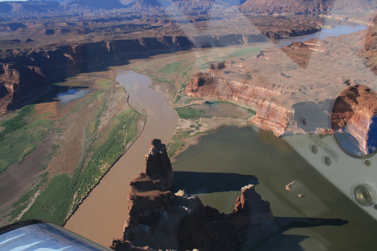
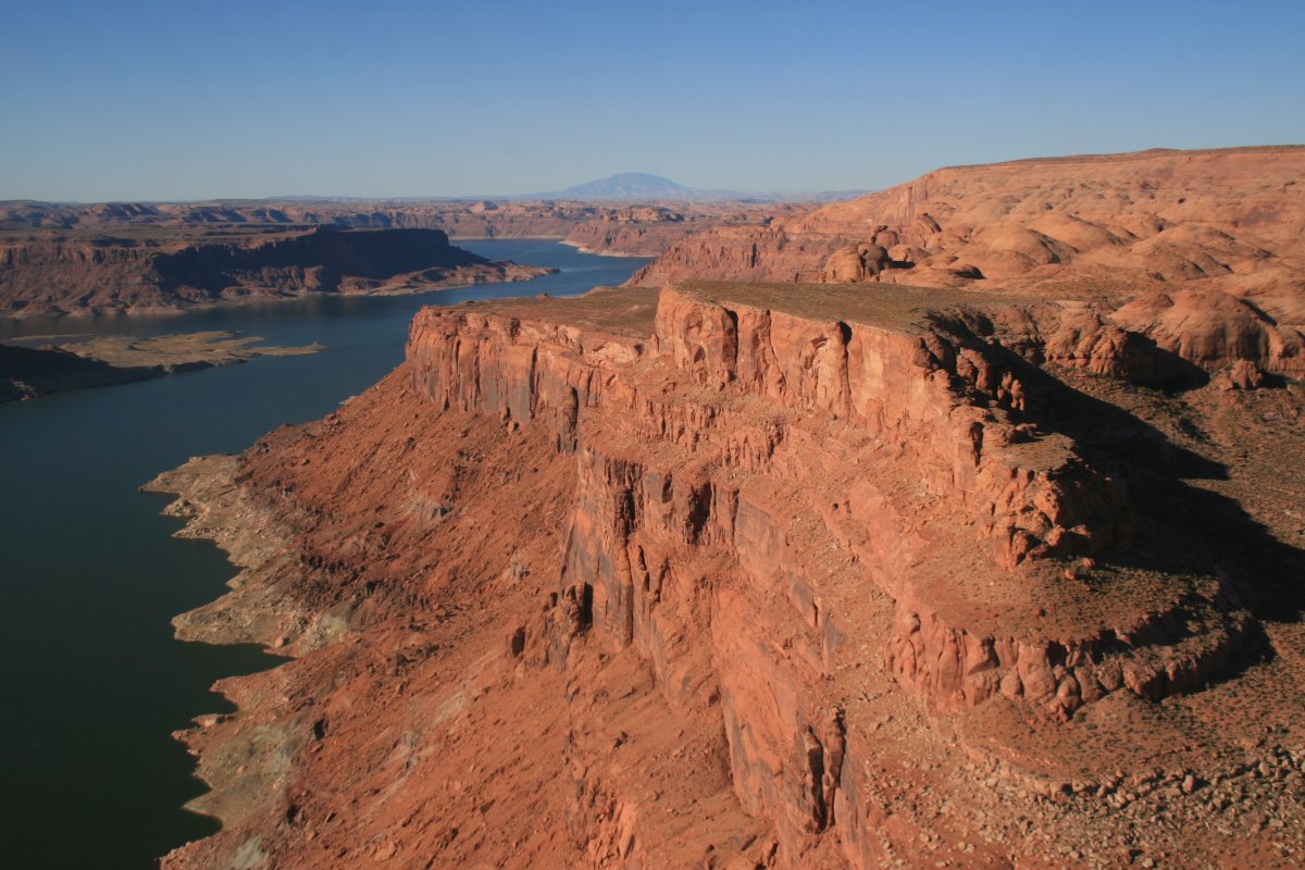
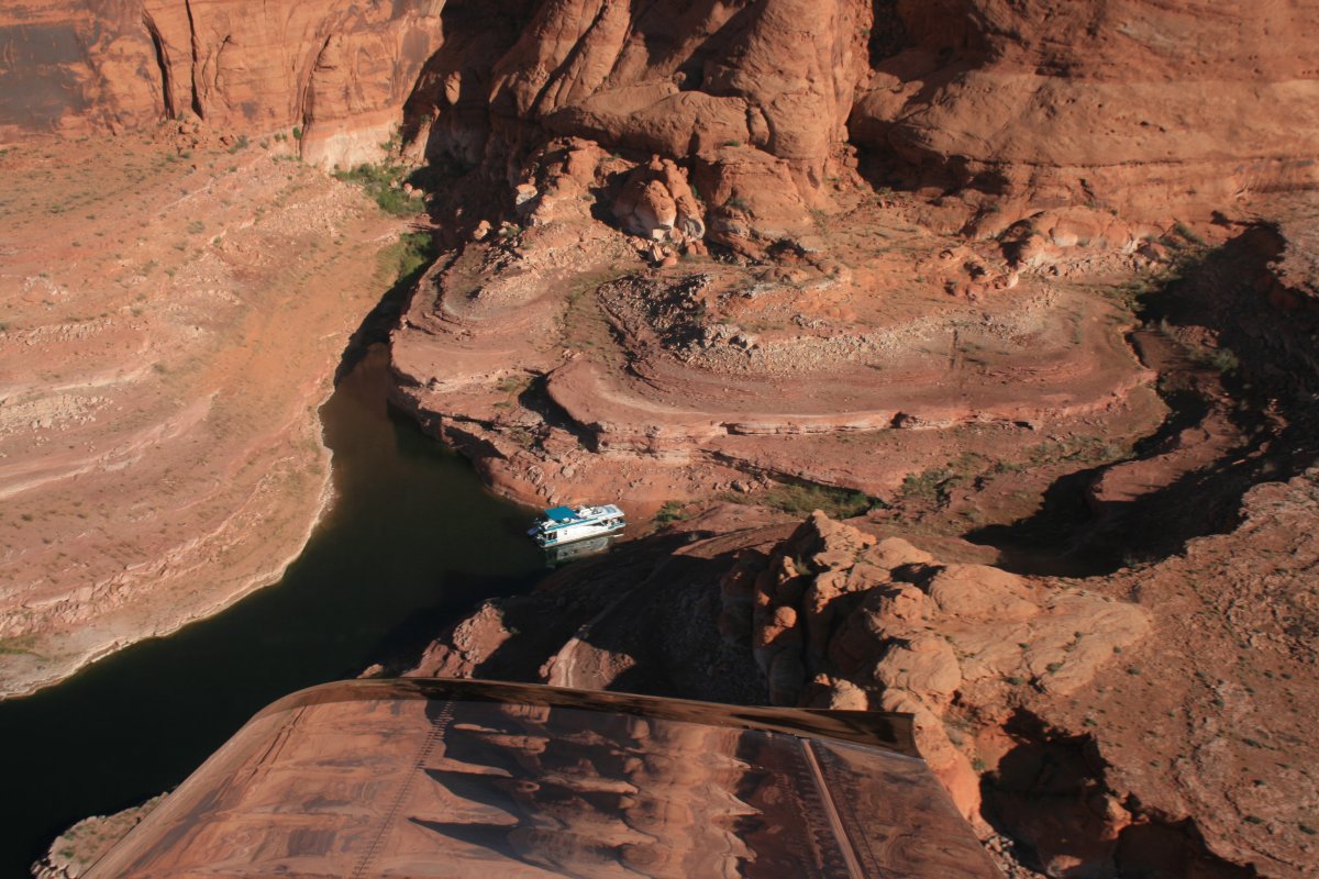
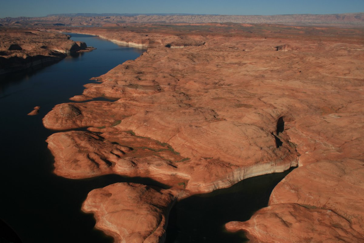
The water level is clearly low.
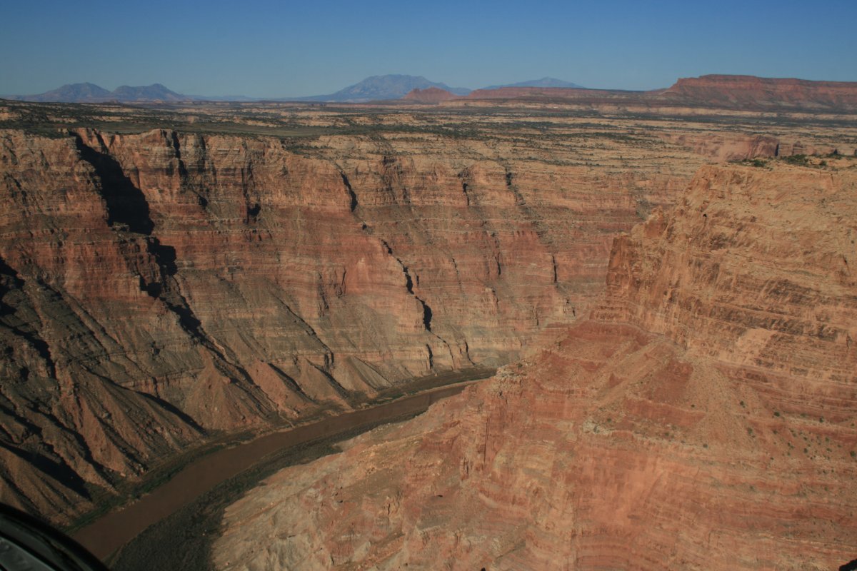
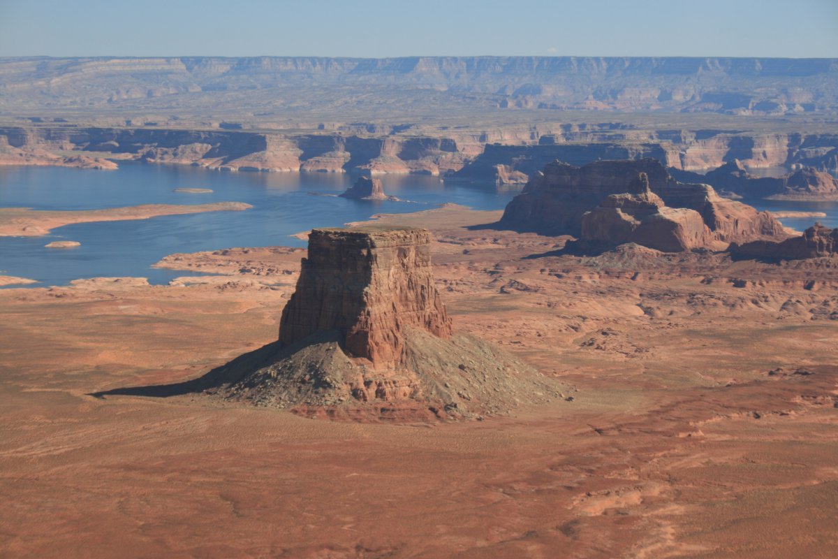
John Wesley Powell named this area Glen Canyon. But it became Lake Powell once the Glen Canyon Dam was completed in 1966.
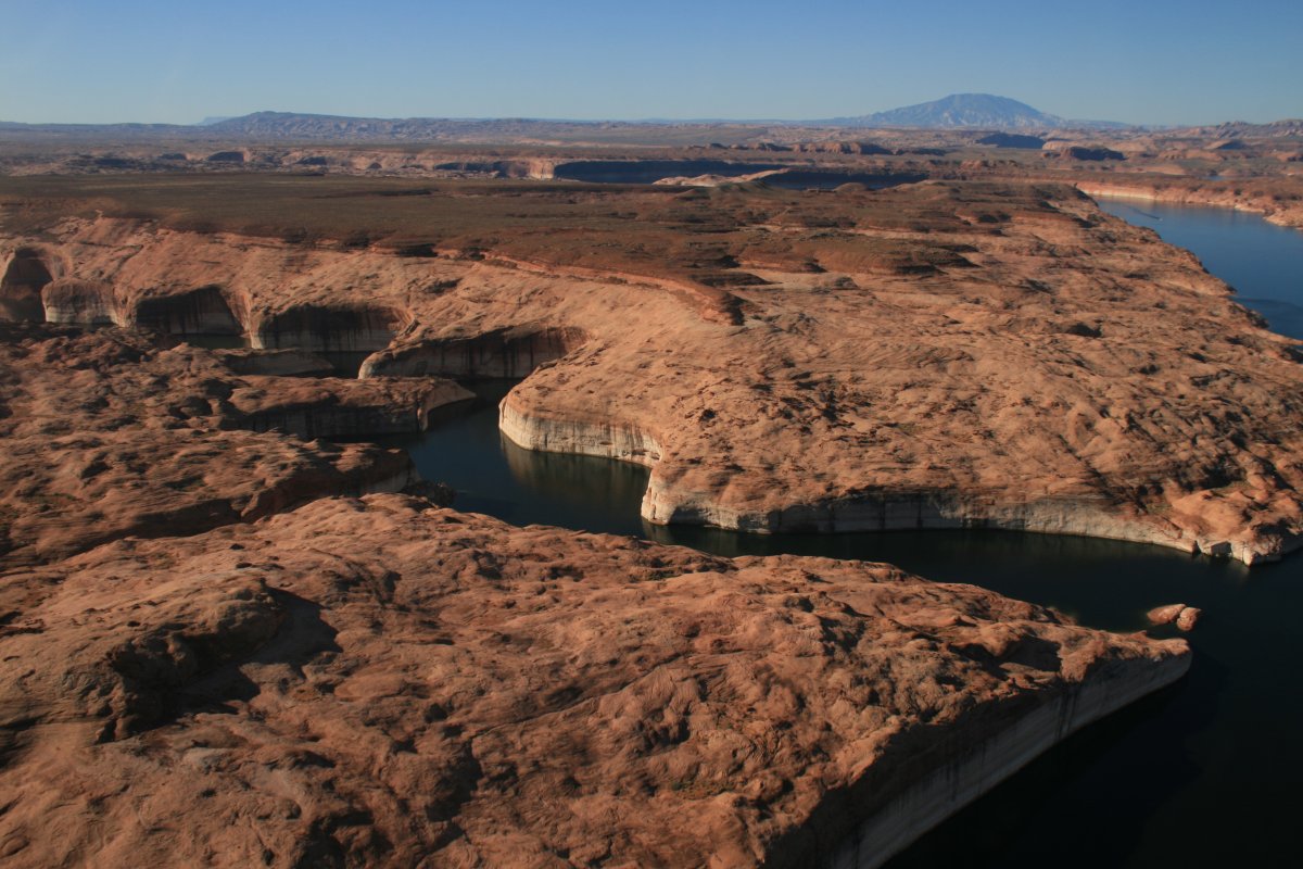
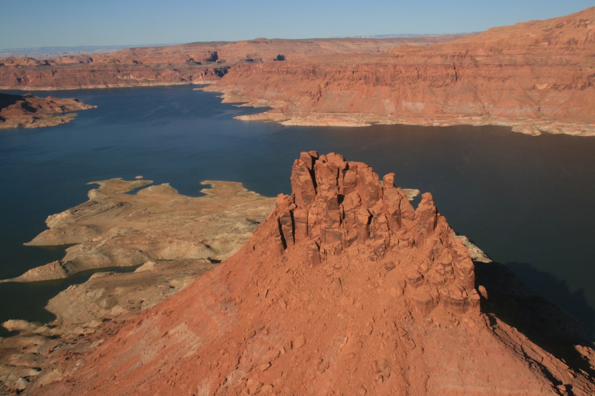
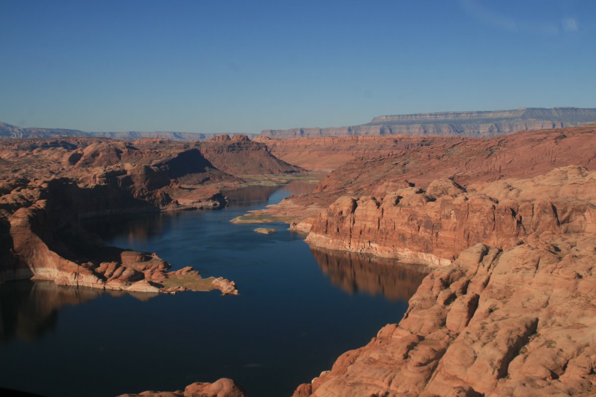
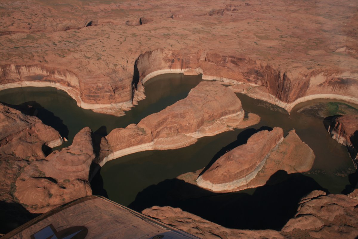
A pretty offshoot to the northwest.
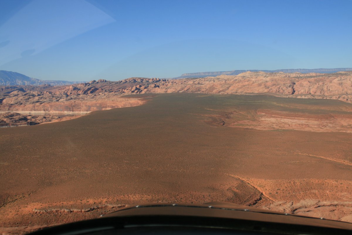
Dried up offshoot.
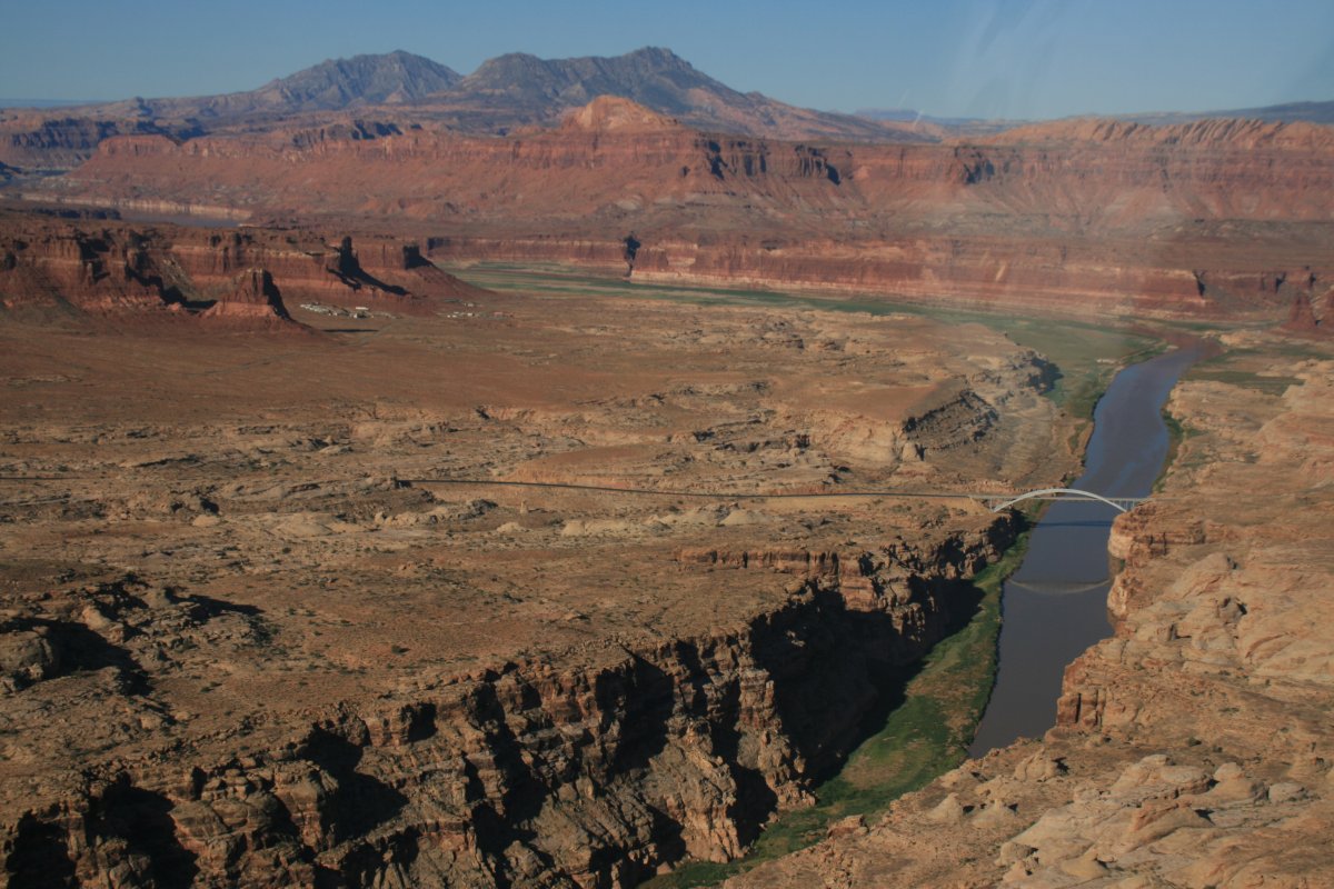
I returned back to Lake Powell and crossed over to the south side.
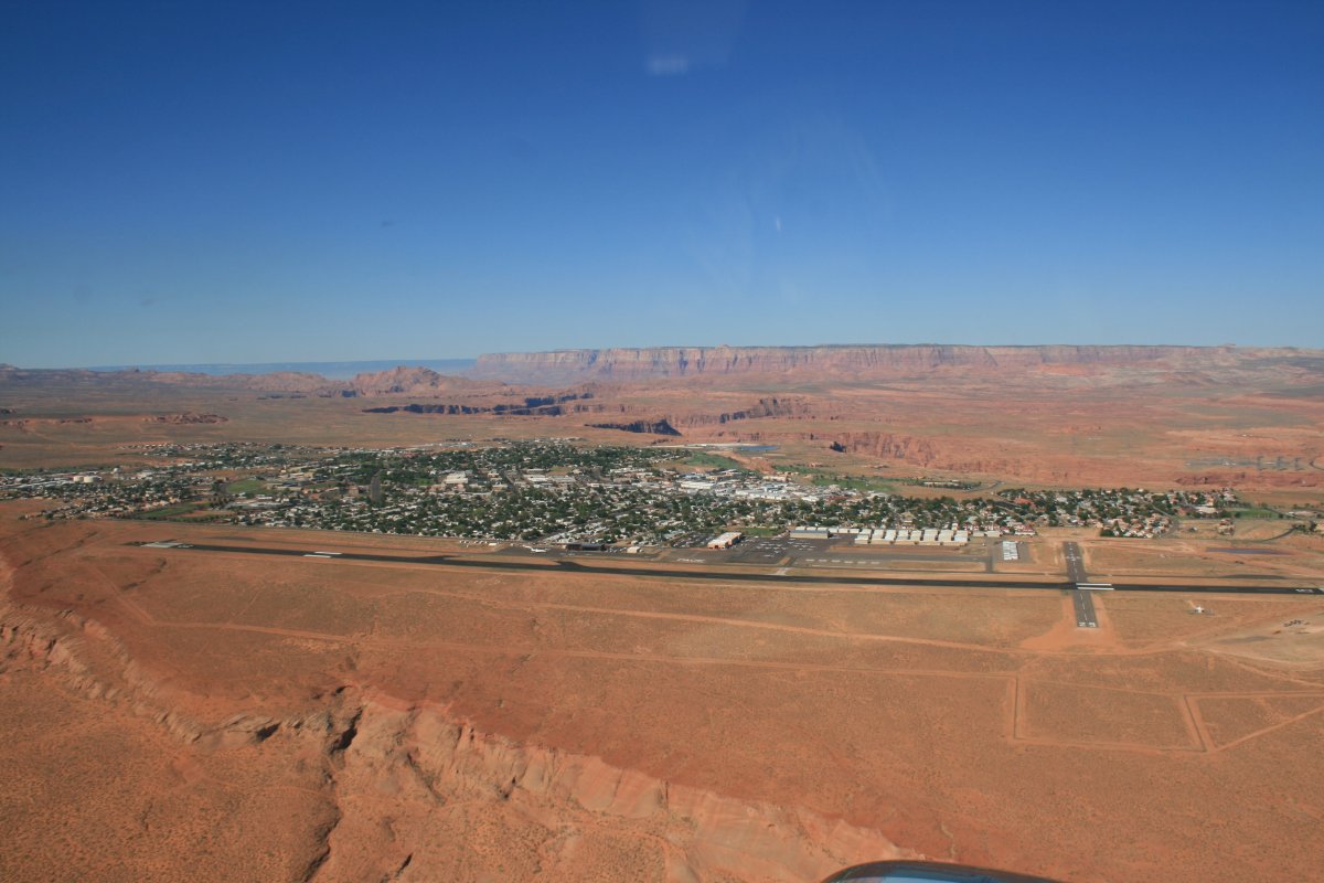
I'm now approaching my destination for the day -- Page, Arizona -- at the south end of Lake Powell. Page is in the far distance to the left.
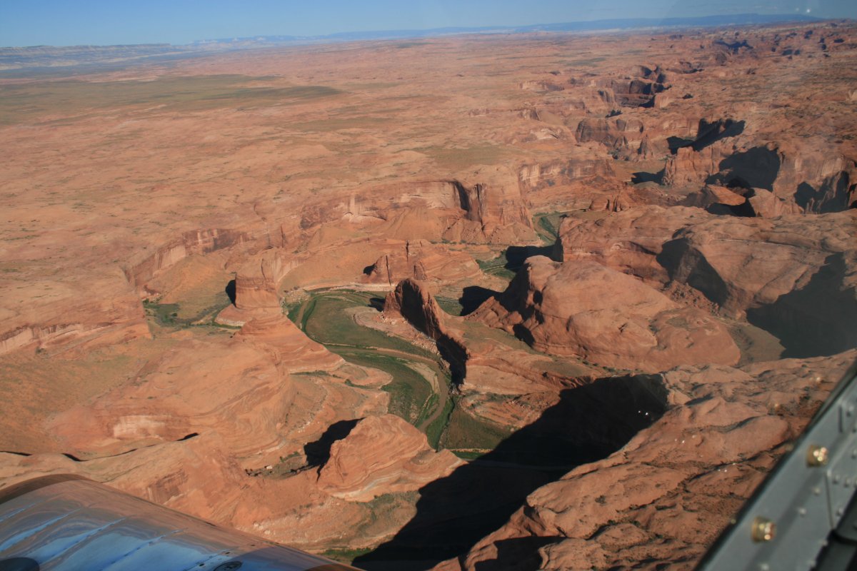
I'm not sure what this Butte is called. But I'm pretty sure it is not Navajo Mountain, which I missed seeing. I also missed seeing, most regretfully, Rainbow Bridge National Monument. In my defense, I had never heard of it. Once in Page, I became aware of it. Oh well, I have a reason to come back some day.
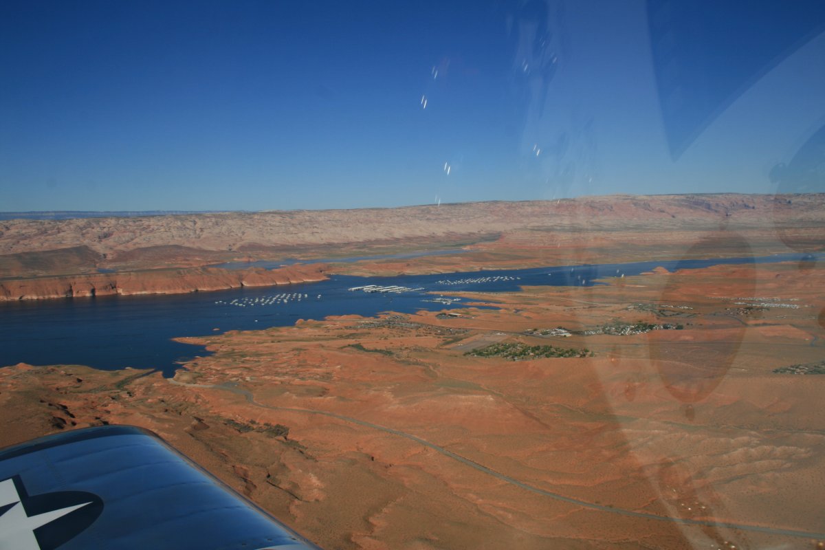
Page visible at left center.
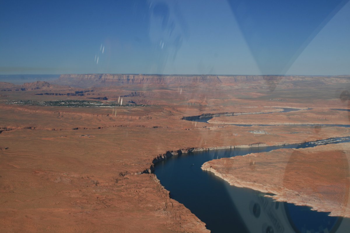
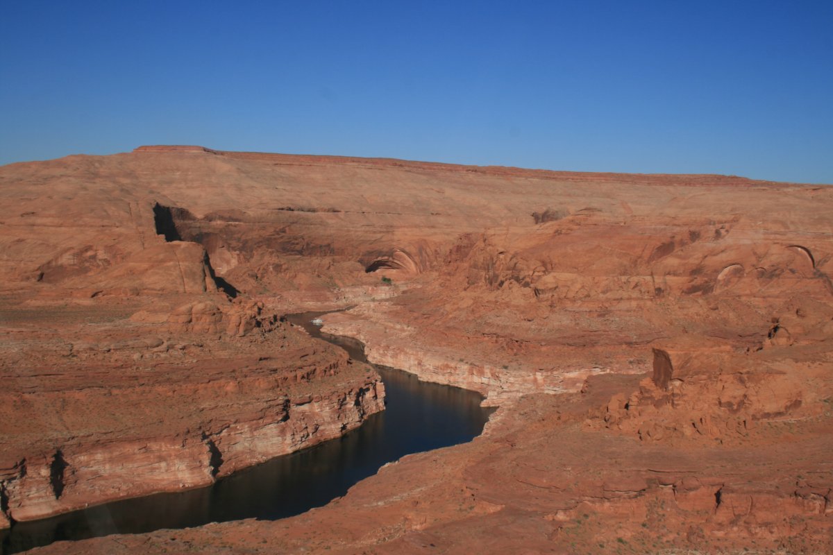
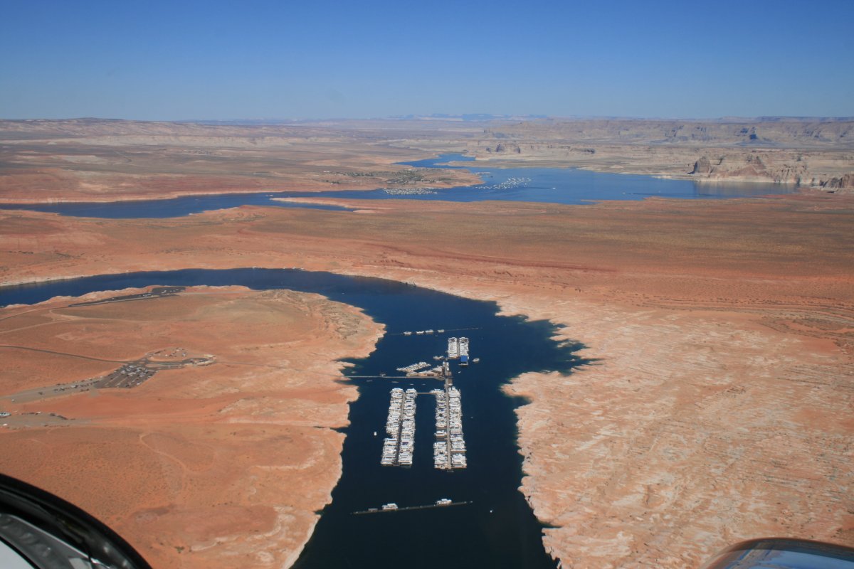
There are some big marinas here as well.
A good look at the town of Page with the airport in the foreground. Page (KPGA) was the one airport this entire trip that I had been to before. I landed the RV here three years ago on the Sante Fe Trail trip. I made a horrible landing, as I recall. Not this time though, I greased it on!