Flight Planning and Preparation for the Green River Trip
A long cross-country like this requires a lot of research and planning to get the most out of it. I guess you could just hop in the plane and go and see what you see. But I like maximize the fun I have and the things I see on a trip like this. For me, the research and planning is part of the fun. And writing the trip up afterwards.
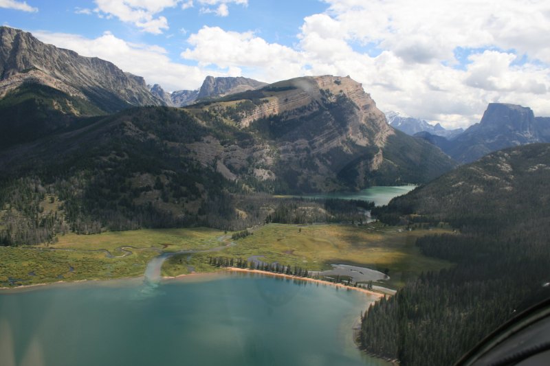
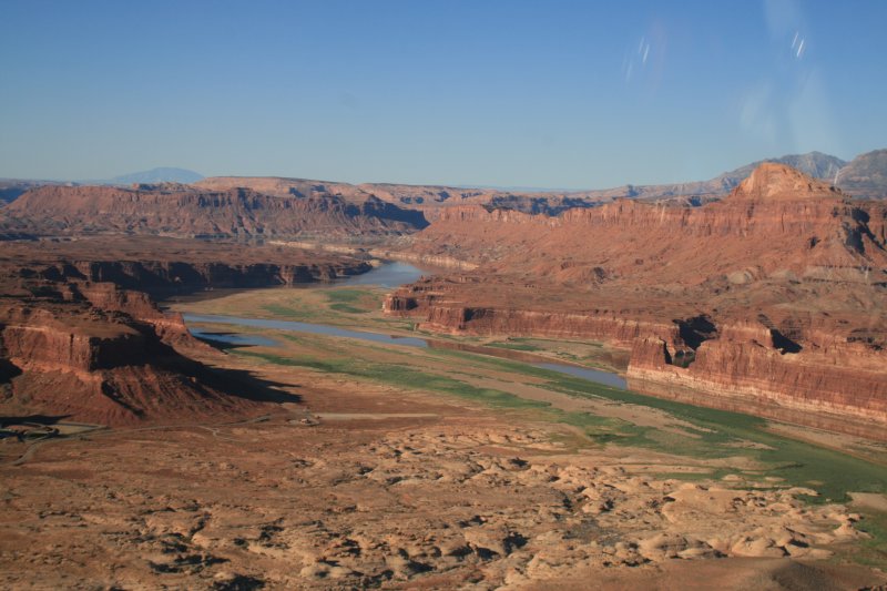
As mentioned before, I had a rough plan. I would fly the RV out to Tamarack, Idaho just north of Boise. Spend a long weekend with my high school buddies. From there I would fly to the head of the Green River which is just south of the Grand Tetons in Wyoming. I'd follow the Green River until it merges into the Colorado River, to Page, Arizona and then to the Grand Canyon. From there I'd head south to Tucson, Arizona and the Mexican border. I'd follow the border all the way to the Gulf of Mexico, then the Gulf of Mexico coast to Pensacola, Florida. From there I'd head north to South Carolina where I'd stop at the famous Triple Tree Fly-in. Then finally back to Essex Skypark in Maryland.
A book I read a few years ago about the John Wesley Powell exploration of the Green and Colorado Rivers back in 1869 was the catalyst for the Green River portion of the trip. For the rest of the trip, I got ideas from Pilot Getaways magazine, AOPA Pilot -- Dave HIrschman's adventures in particular -- EAA Sport Aviation, and the Vans Air Force forum. I quote from a post in VAF: "I've always thought that picking up th eColorado River at it's headwaters (actually, pic up the Green River, I think it is -- in Wyoming, and following it all the way down would be stunning". VAF also alerted me to the Guadalupe Mountains and Palo Duro Canyon in Texas.
At first it was overwhelming. But then I started a detailed itinerary in Word. This got me organized and then the trip became manageable. I had a section for each day. I wrote down all the information on airports, things to do, and places to visit for that day. AirNav.com was the source of information for airports. I recorded, whether they had a courtesy car or not, nearby motels, the general tenor of the comments, and most importantly, the gas price. I ended up with a six-page document. (single-space)
Once I had a fairly complete itinerary, I had to figure out what I could actually do in that day. How long would it take to get there? How long would it take to accomplish the ground stuff? It was like a puzzle, fitting the pieces together, but eventually I worked out a doable plan. A little aggressive, but doable. I carried the polished itinerary in the aircraft and it was invaluable.
While planning on the ground, AirNav.com was a key tool, along with SkyVector online sectional charts. Google Maps and Trip Adviser.com were valuable tools as well.
Key Items to take:
Since I would be flying over some remote country, I was loaded for bear with regards to emergency equipment. I wore a survival vest filled with useful items, and in the plane I had a tent, cold weather sleeping bag, and even a water bag. For aircraft issues, I had tools and equipment to change a tire tube, or even remove the prop if I had to. I put together a checklist to make sure I had all the things I might need.
In addition, I borrowed my brother-in-laws portable oxygen system. Which I ended up needing and using in Wyoming.
- 61 hours total flight time
- Highest altitude: 14,500 feet
- Longest single flight: 3 hours 45 minutes
- Lowest gas price: $5.15 (Alabama, South Carolina)
Typical Daily Routine