March 2, 2013 - Form Practice,
Smoketown |
| Today was a crazy
day, weather-wise. The forecast had called for sun with some wind, a
few clouds. And the weather was good at Essex Skypark when I
took off, crossed the Bay, and headed north up the Eastern Shore to Cecil
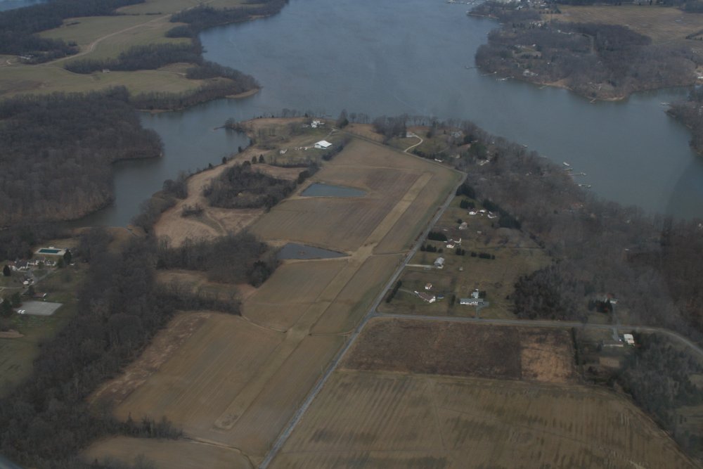
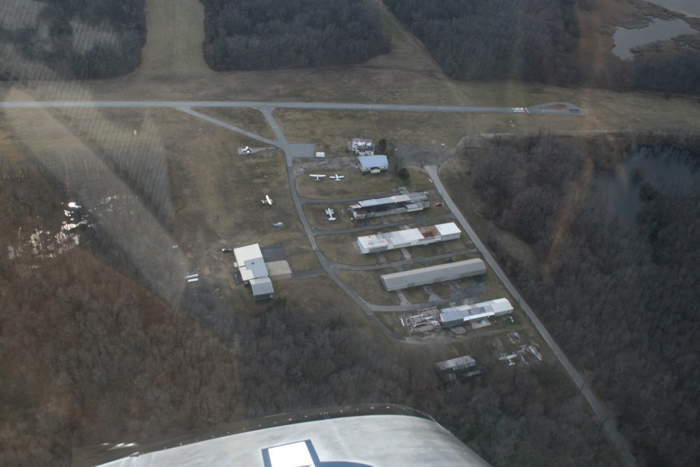
County Airport. Here, I'm flying over a grass strip where a
SeaWind amphib lives. The scenary is just drab in the winter, isn't
it? |
|
 |
|
|
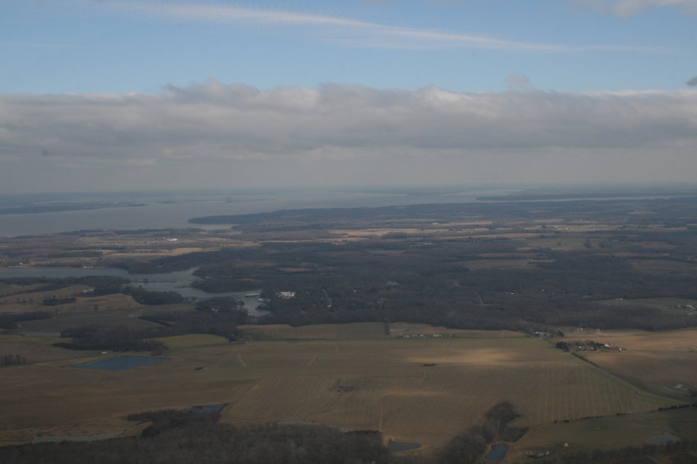
The visibility was phenominal.
In this picture you can just see the wooded peninsula in the top center
where Cecil County Airport is. That's 30+ miles away. |
|
 |
|
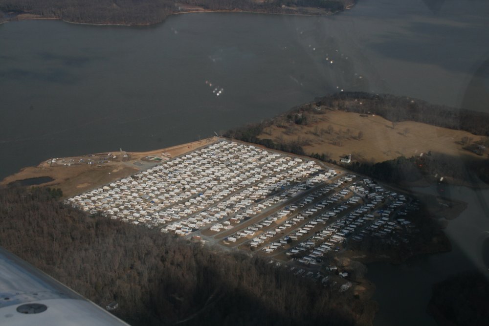
| A massive trailer
park on the edge of the Bay, in the middle of nowhere. |
|
 |
|
|
At Cecil County Airport I met Chef,
Lawbreaker and Mugsy. We got caught up then went did a 4-ship
formation hop. I was lead, Lawbreaker was #2, Chef was #3, and Mugsy
was #4. The weather had clouded up so we had to stay below 3000
feet. It had become very misty as well. The 30+ mile
visibility was now maybe five. We did our thing, then Lawbreaker
headed for home and Chef, Mugsy and I flew to Smoketown for
lunch. |
|
 |
|
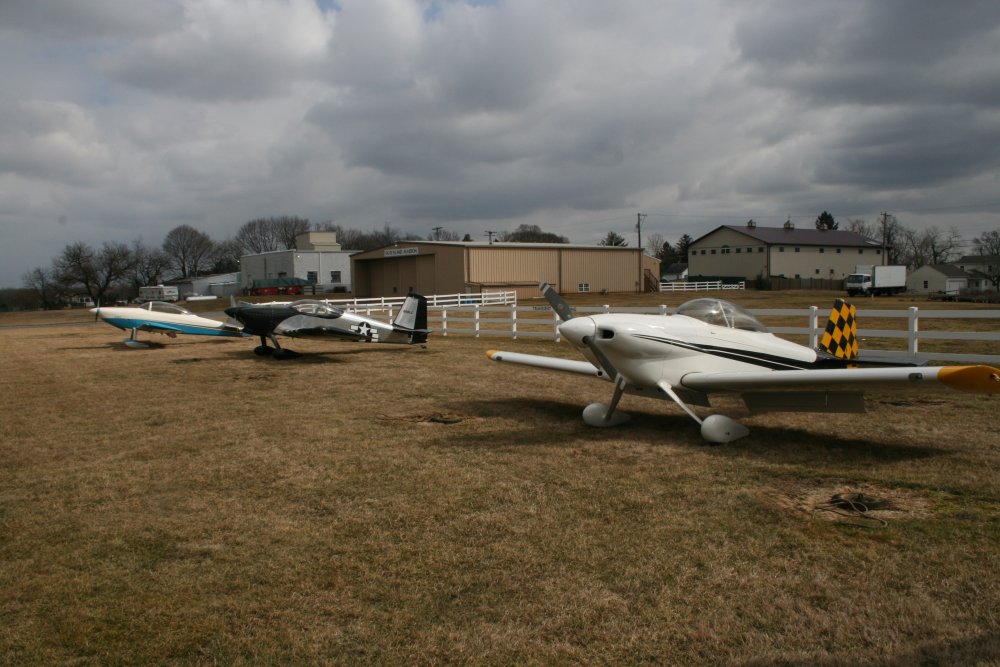
| On the ground at
Smoketown Airport. |
|
 |
|
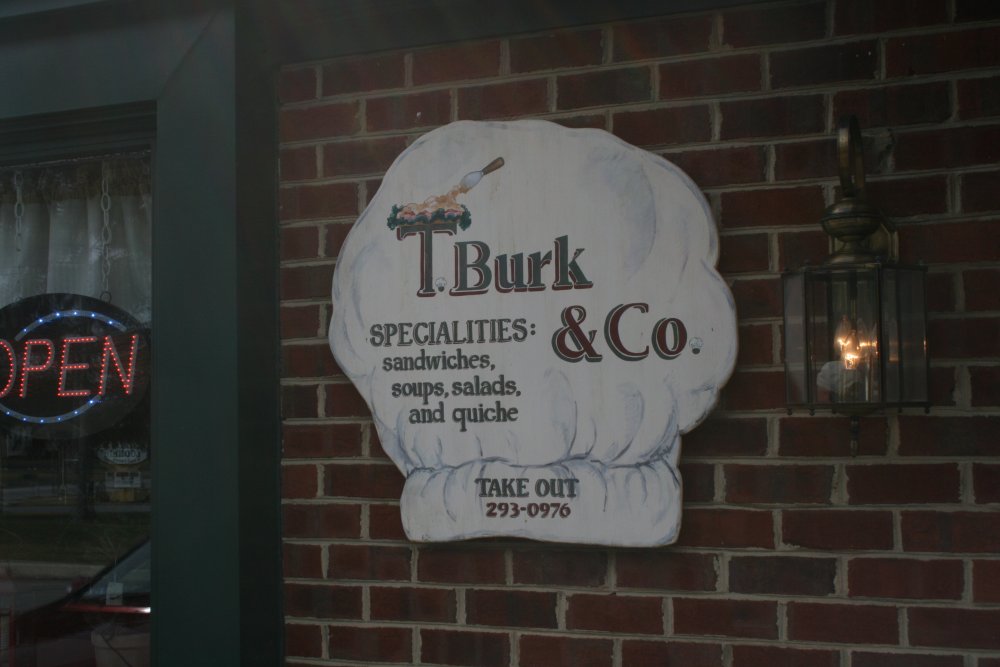
| The mainstream of
Smoketown is right next to the airport and there are multiple places to
eat. I've been to the Smoketown Diner a couple of times and like it
a lot. But today we went to a place I hadn't been to before:
T. Burk & Co. It was very good as well. |
|
 |
|
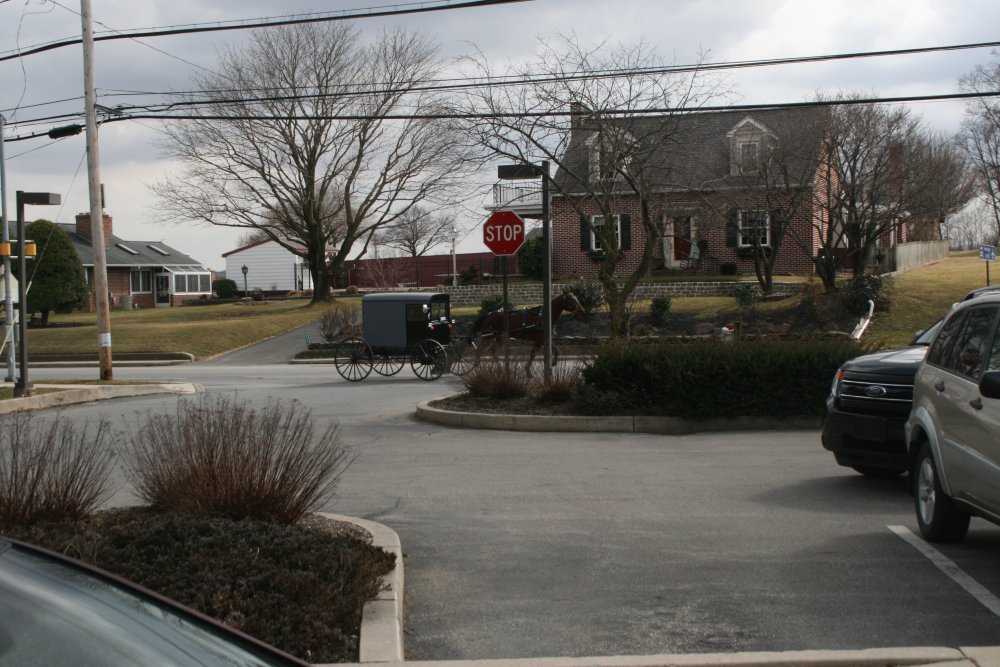
| Smoketown is in
Pennsylvania: Amish Country. |
|
 |
|
|
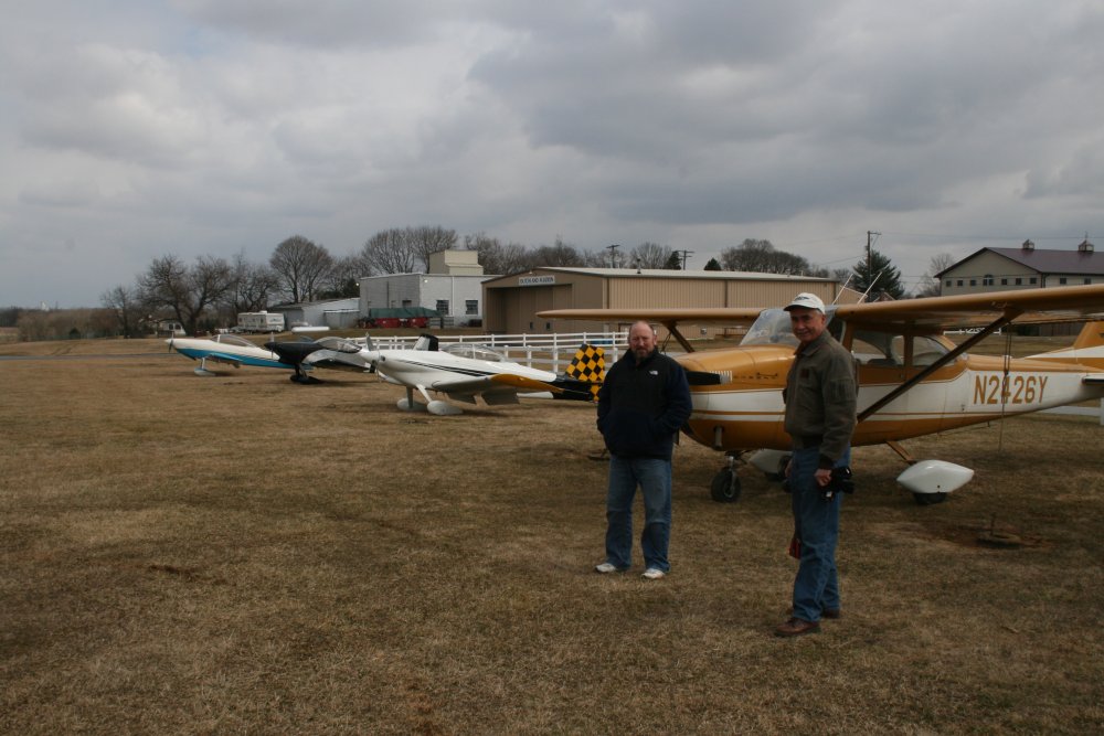
Chef and Mugsy back at the
airport. |
|
 |
|
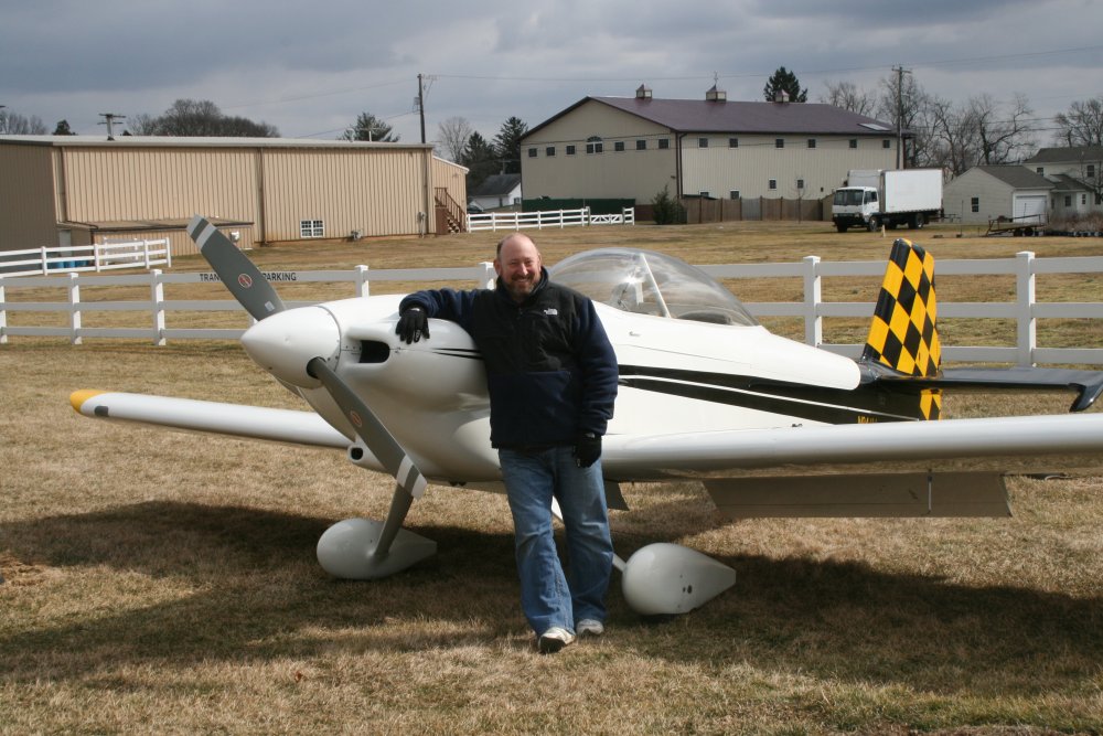
| The man and his
machine. |
|
 |
|
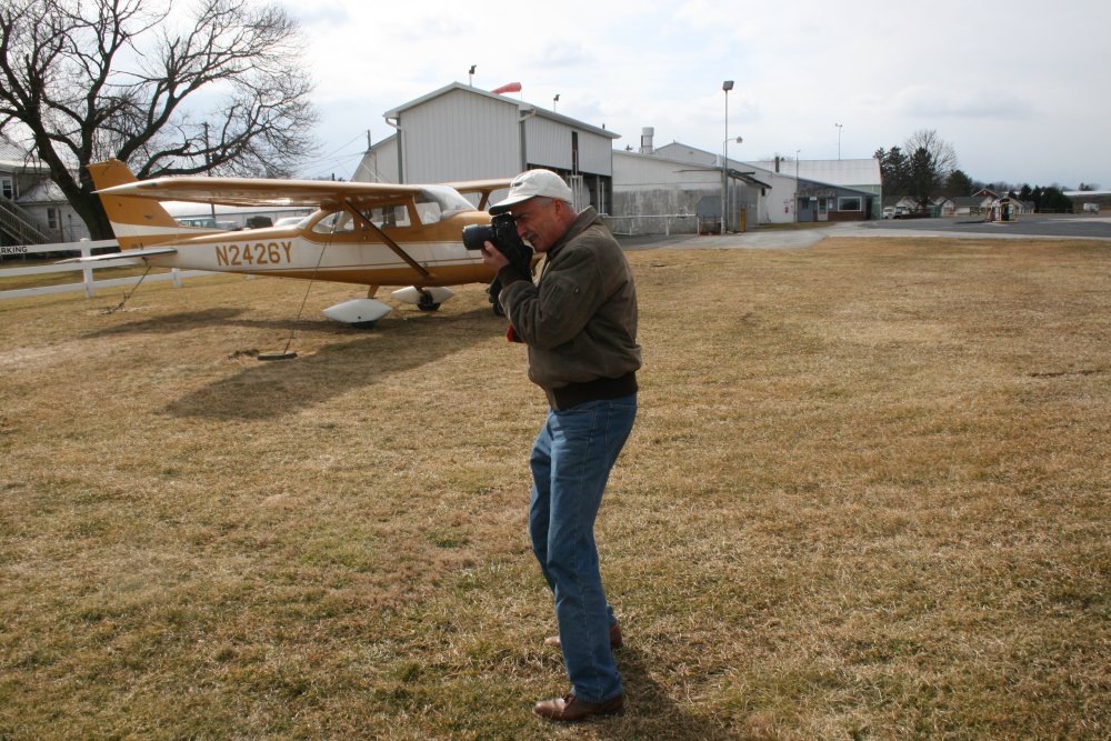
|
Master photographer in action. |
|
 |
|
| On the way home
from Smoketown, I flew by the "airport with no name". Actually it is
Forest Hill Airport and is privately-owned. I've never landed there
and I don't know anyone who has. |
|
 |
|
| I had flown
briefly through some light snow on the way back -- totally unforecasted,
by the way. I had thought today was going to be sunny. I
dialed up Martin State Airport on the radio as I was going to transition
through their airspace to the south. Then I heard the tower tell
some pilot that they were about to go IFR because of snow.
What? Soon I was flying into continuous snow. At first it
wasn't bad but pretty soon visibility was getting very poor. This
just wasn't working, so I did a 180 and flew back out of it, into clear
blue skies. I wasn't sure what to do so I started heading
west. Then I saw an open corridor to the south and at the end was
the city of Towson. I headed that way. Once over Baltimore I
turned east towards Baltimore. The snow clouds were now off my left
wing as shown below. |
|
 |
|
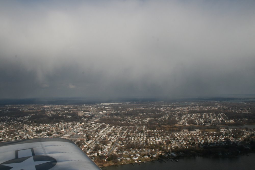
| Martin State
airport is off my left wing. The way to Essex Skypark was free and
clear. |
|
 |
|
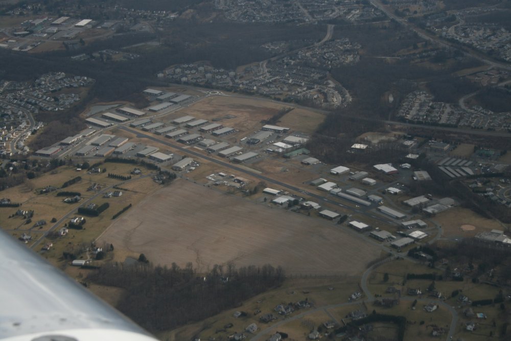
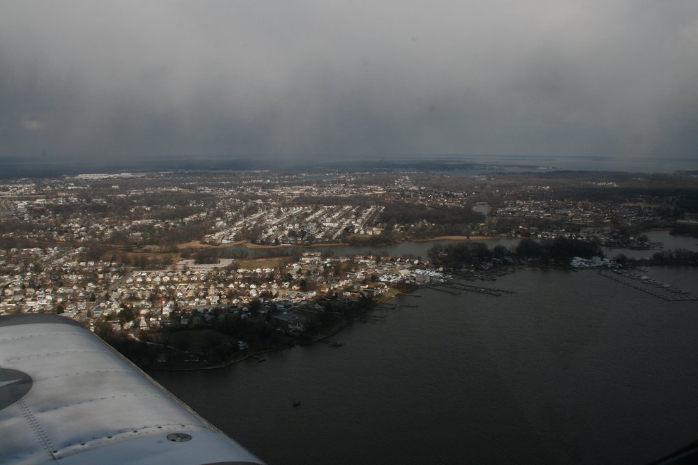
| Overhead Essex
Skypark, which is looking pretty dismal this time of year. |
|
 |
|
| |
|
|
|
|
|
|
|