July 23, 2010 - Great Falls to Salmon,
Idaho |
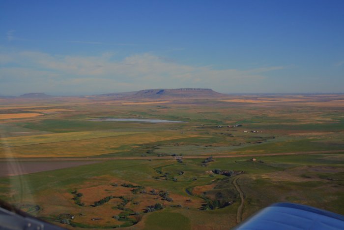
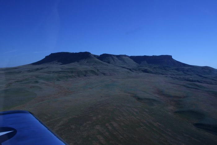
| Once I was out of the Class C airspace,
and before entering the mountains, I decided to check out this big butte
to the west. It's so distinctive its labeled "Square Butte" on the
sectional aeronatical chart. |
|
 |
|
|
|
|
 |
|
|
|
 |
|
|
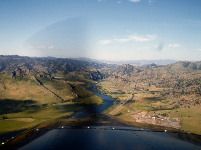
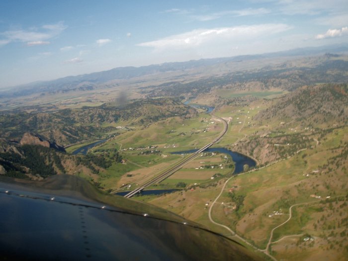
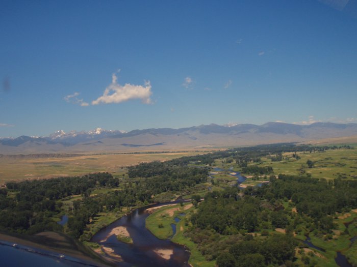
Back to the river and into the mountains. I have a
healthy respect for the Rockies and was a little nervous at this
point. |
|
 |
|
| I went through the initial pass but was
soon over a valley on the other side. |
|
 |
|
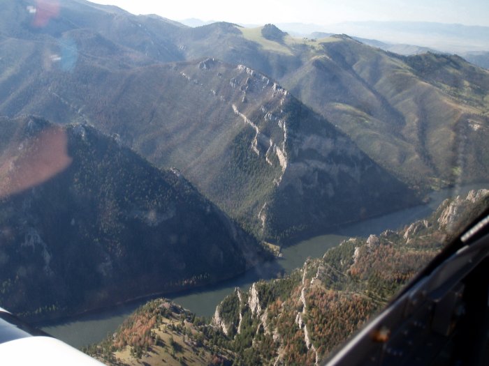
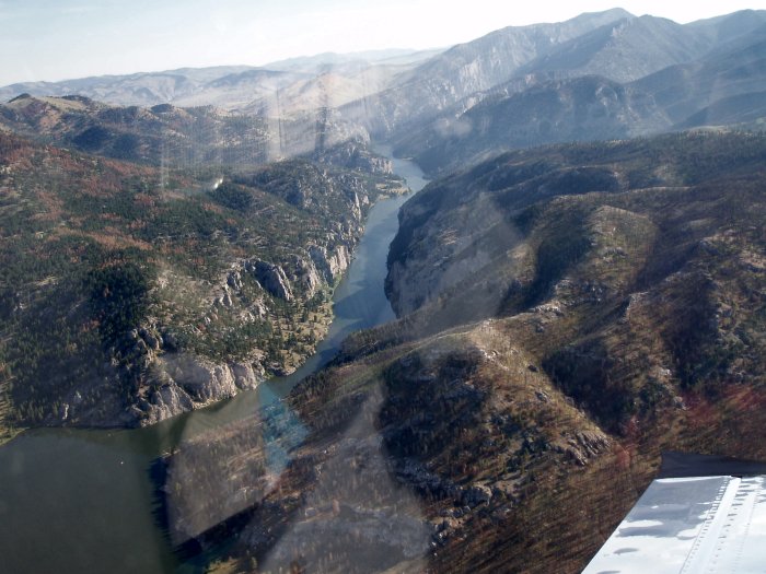
| But then I came to another pass.
This had to be what Lewis and Clark called "The Gates of the
Mountains". It's easy to see why. |
|
 |
|
|
|
 |
|
|
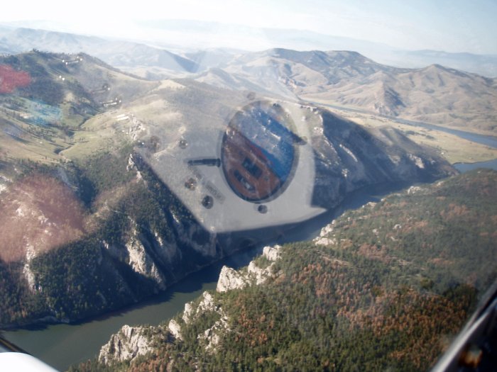
Looking back. |
|
 |
|
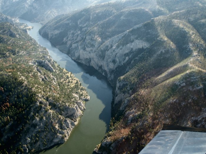
| Imagine floating through here on a
boat. |
|
 |
|
|
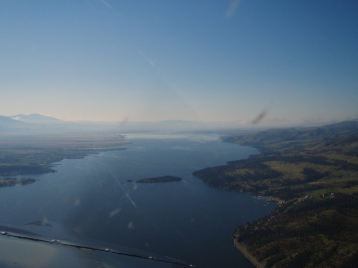
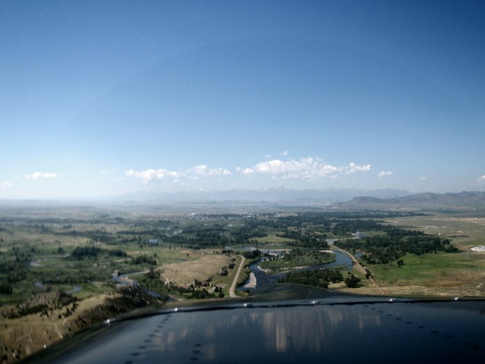
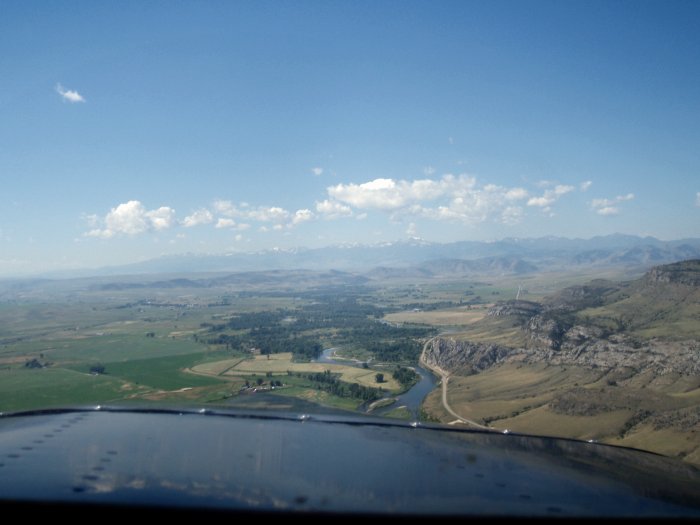
After leaving the Gates, I passed the state capital --
Helena -- on the right and came to Canyon Ferry Lake, created by the
Canyon Ferry Dam of course. |
|
 |
|
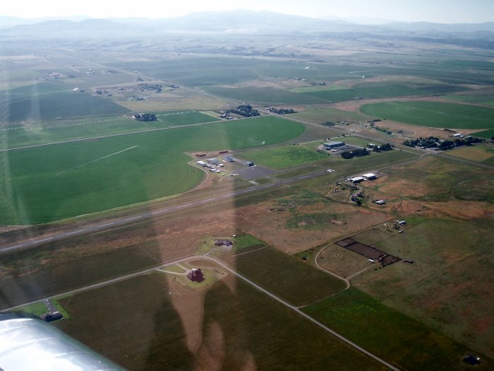
| At the southern tip of the lake was
Townsend Airport where I stopped to stretch my legs. Lanny Thomas at
Fort Peck had recommended this airport as a good stop. |
|
 |
|
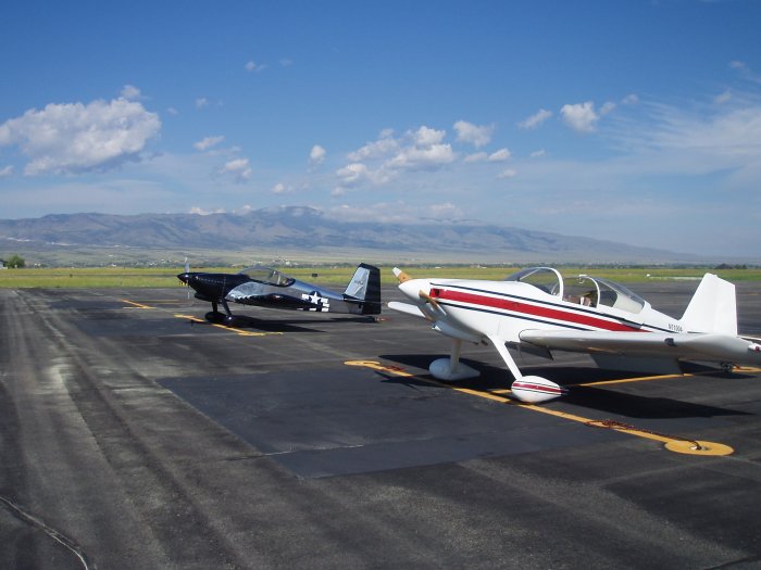
| This RV-6 landed right before me, and
he invited me into the airport manager's hangar for some coffee and
donuts. |
|
 |
|
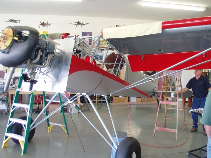
| So I spent an hour hangar flying with a
bunch of local aviators. The airport manager is building this STOL
King kit plane. Interesting plane! |
|
 |
|
|
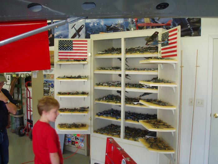
He showed me this cabin full of over 100 1/72nd scale
model airplanes and told me they were used to play a dogfighting
simulation game called Mustangs and Messerschmidts. It sounded like
fun, but very time-consuming. |
|
 |
|
|
I wasn't too far from my final destination now: Salmon,
Idaho.
Leaving Townsend, I was still following the Missouri River.
|
|
 |
|
|
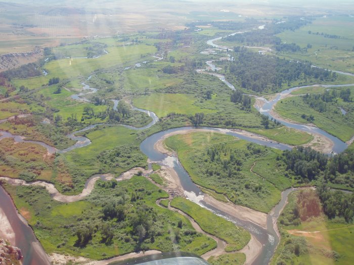
But about 30 miles later, I came to the Missouri's end at
Three Forks where three rivers -- Jefferson, Madison and Gallatin -- merge
to become the Missouri. It's hard to tell which is which.
|
|
 |
|
| I continued on following the
Jefferson. |
|
 |
|
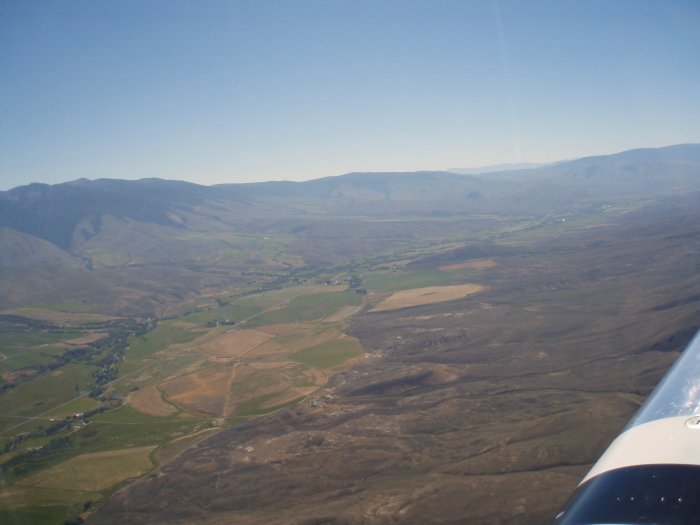
| Which turned due west and went through
a gap in the these mountains. |
|
 |
|
|
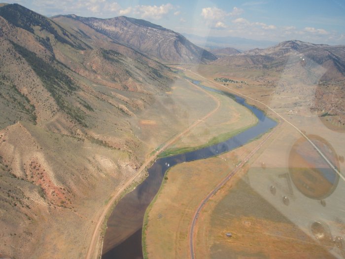
Then turned south and at some point became the Beaverhead
River, which I thought must just be an awesome river to fish.
|
|
 |
|
| I actually made a wrong turn and
started following the Big Hole River but just cut back across to the
Beaverhead on the other side of that mountain on the left. |
|
 |
|
|
Notice the snow on the mountains to the left.
About this time the battery in my camera died. But I continued
following the Lewis and Clark trail, past the town of Dillon, to the
Clark Canyon reservoir, which covered the spot Lewis and Clark called Camp
Fortunate. Fortunate because Sacagawea was reunited with her brother
there, and after that the Shoshone provided the expedition with the horses
they needed to cross the Bitteroot mountains. |
|
 |
|
|
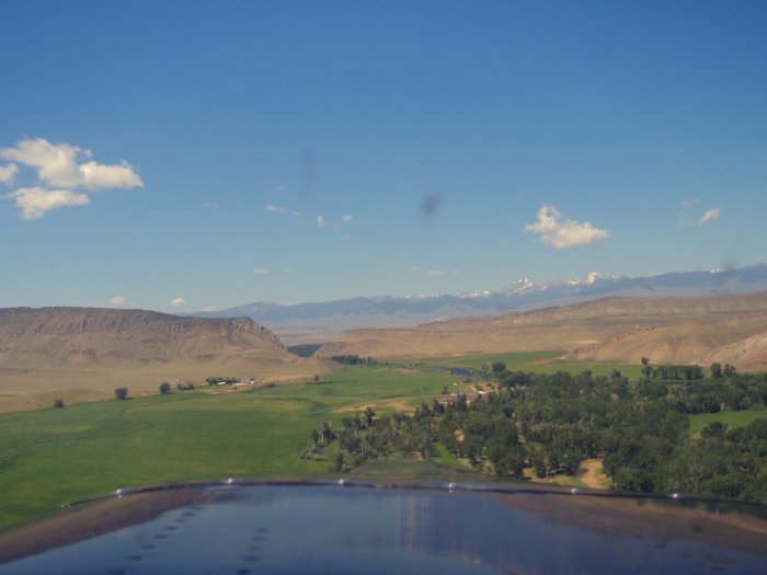
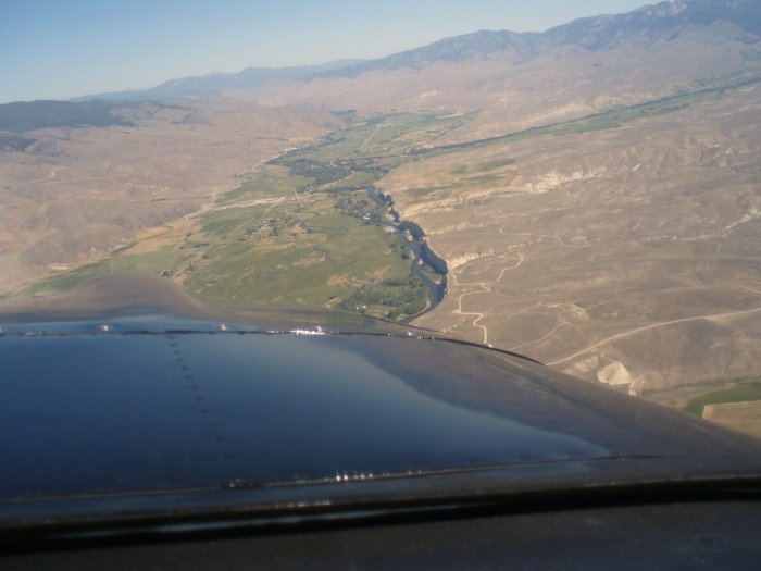
From the reservoir it was a short distance -- in RV terms -- to Lemhi
Pass where I crossed the continental divide and where the town of Salmon
was on the other side.
In this picture, looking south from the west, Lemhi Pass is on the left
side. Even though it was a pass, I still had to cross it at around
8500 feet. The RV's performance is so good, it was no big
deal. Actually I didn't have to go through the pass; I could have
easily climbed over the highest mountain around here. But I wanted
to go through Lemhi Pass, since that is where Lewis and Clark went
through. |
|
 |
|
|
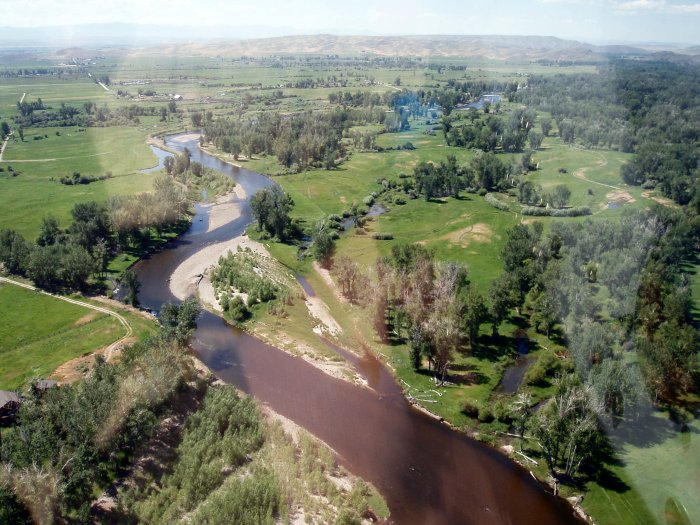
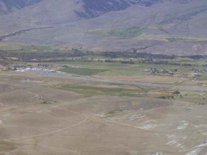
Just north up the valley was Salmon. Here is Salmon
Airport, elevation 4043 feet. |
|
 |
|
|
Looking north, you can see the Salmon River keeping the surrounding
area green.
I only flew about 3.5 hours today in two hops. Nice, relaxing
flying day.
I hung out in the FBO building for an hour or so and then my friends,
driving from Boise, picked me up and we headed to our lake cabin.
|
|
 |
|
| |
|
|
|
|
|
|
|