September 15, 2022 - Utah Flight - Transit to Nebraska
|
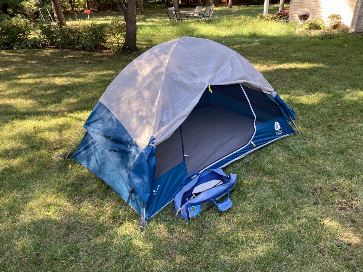
| Pre-flighting the tent in the backyard. On this trip I will spend five nights in this tent. It's a good tent. It's easy to set up with only two crossing poles. It's just the right size for one person: not too big, not too small. After surviving the wild storm last year at Oshkosh I know it will keep out the rain. |
| |
 |
|
|
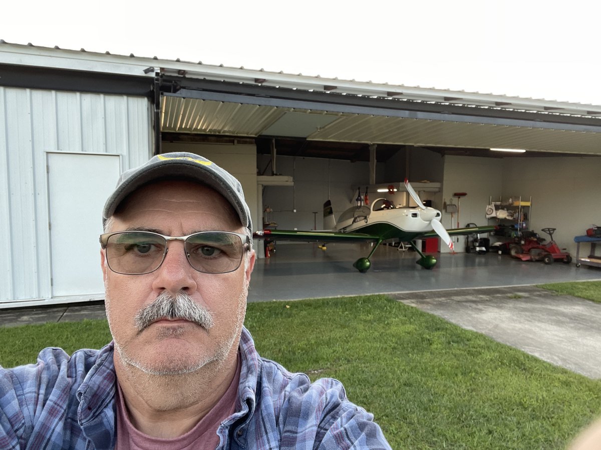
Mark has his game face on.
|
| |
 |
|
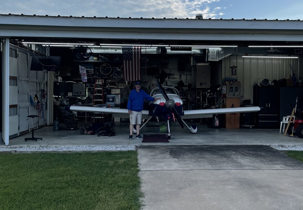
| Chuck making final tweeks to his plane. |
| |
 |
|
|
Departure day finally arrives. Weather is excellent on this Wednesday morning as you can see. The plan was for wheels up at 8am. And can you believe it, that's when we took off.
|
| |
 |
|
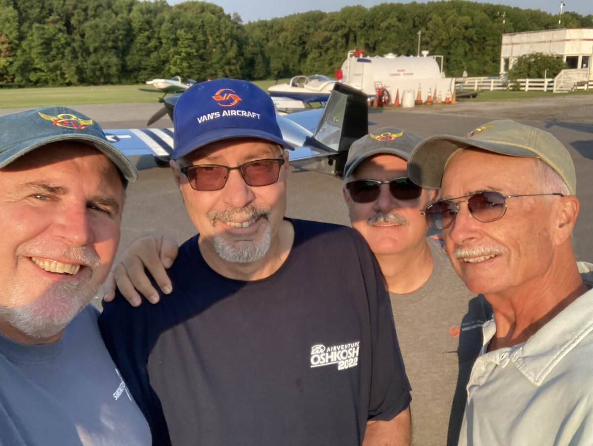
| The four pilots of "Utah Flight". Four grown men taking a selfie; kind of makes you sick, doesn't it. |
| |
 |
|
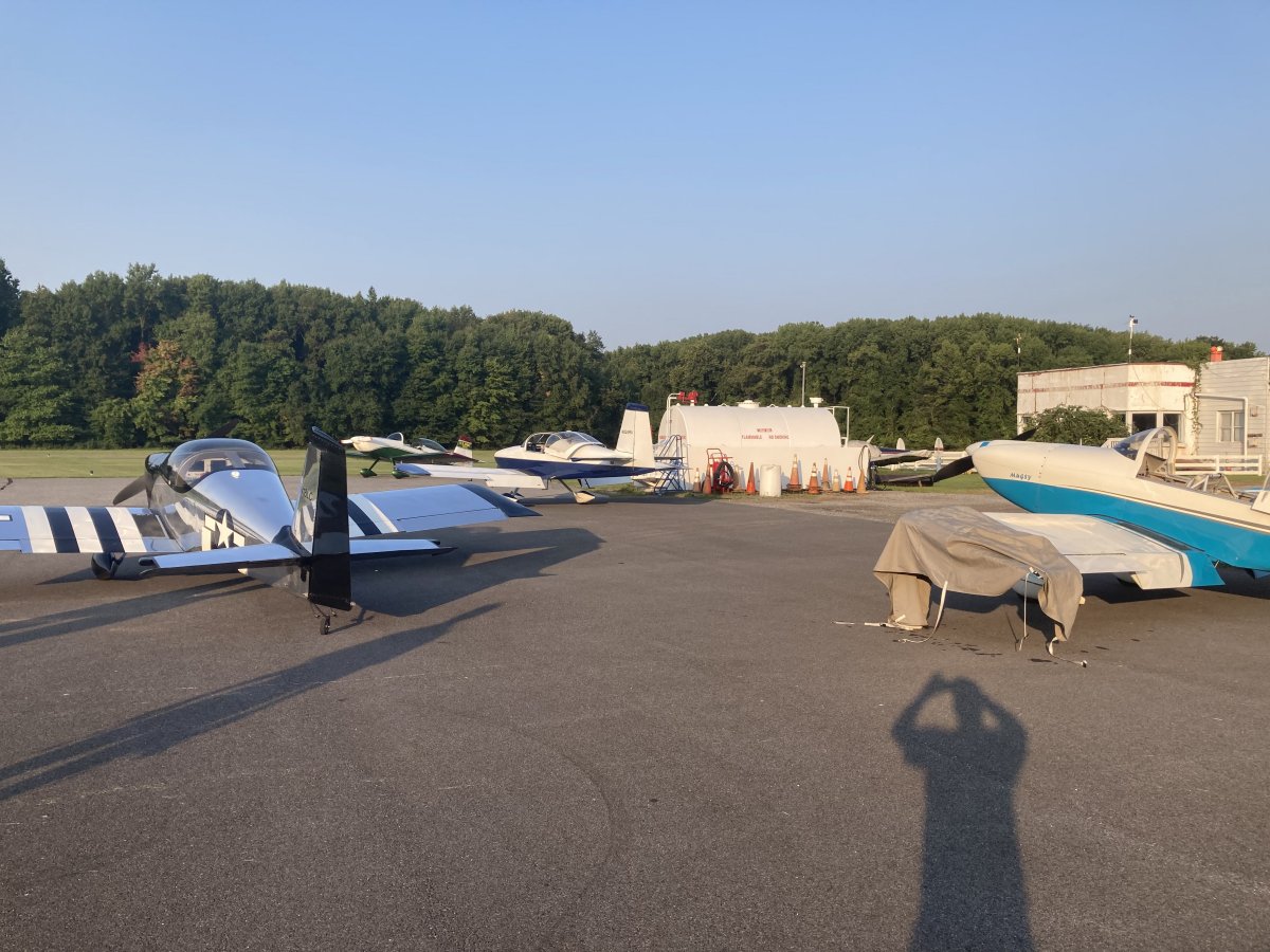
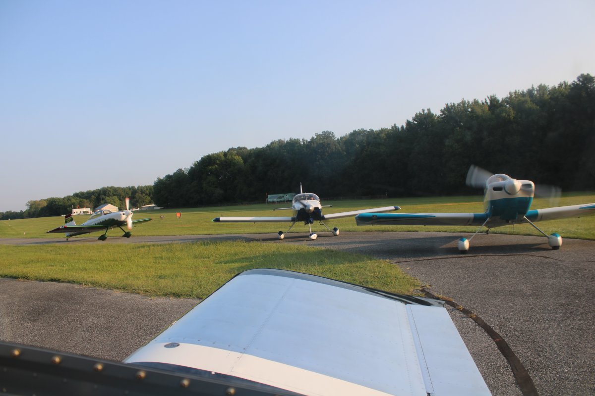
| Running the engines up, just prior to takeoff at Essex Skypark. |
| |
 |
|
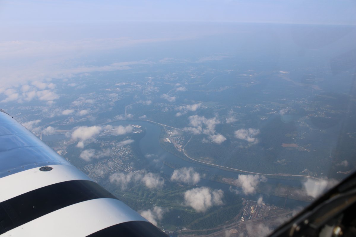
| Typical east coast hazy weather as we are about to dross the Potomac River. |
| |
 |
|
|
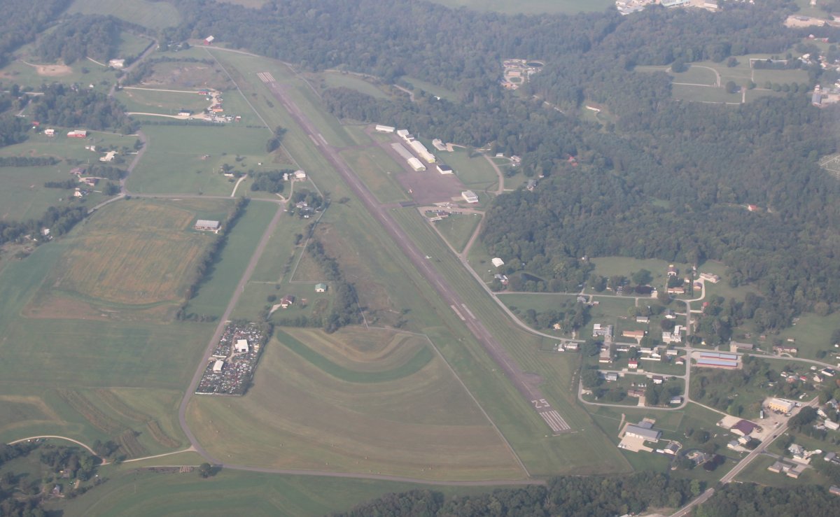
Looking down at Carroll County-Tolson Airport (KTSO), our first stop. We were high because we had just transited over Pittsburgh Class B airspace at 8,500 feet.
|
| |
 |
|
| We picked this as our first stop because it has an on-field restaurant (and a decent fuel price). We enjoyed a good breakfast; unfortunately did not have room for any of their famous pie. |
| |
 |
|
|
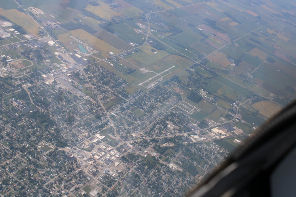
Looking down at the town of Van Wert, Ohio and the Van Wert County Airport (KVNW) where I've landed a couple of times, visiting our friends in nearby Decatur, Indiana to the west.
|
| |
 |
|
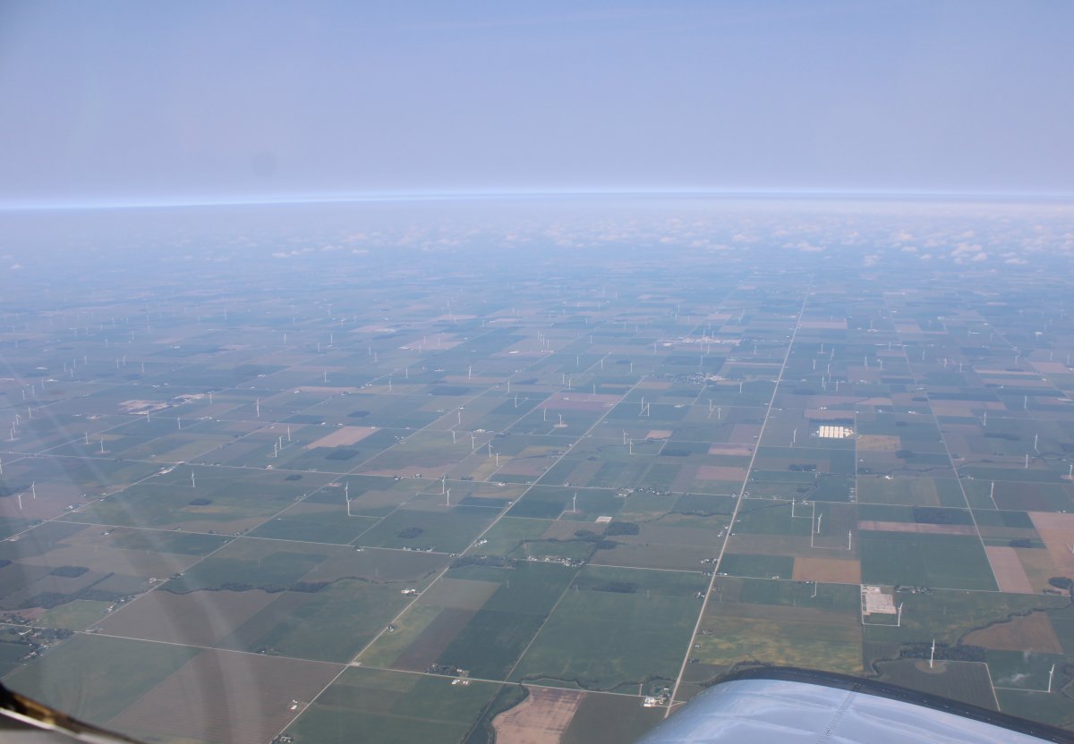
| We would see a lot of windmills on this trip. I don't think windmills and solar are the total energy solution, but they -- the Federal Government I guess -- are trying. |
| |
 |
|
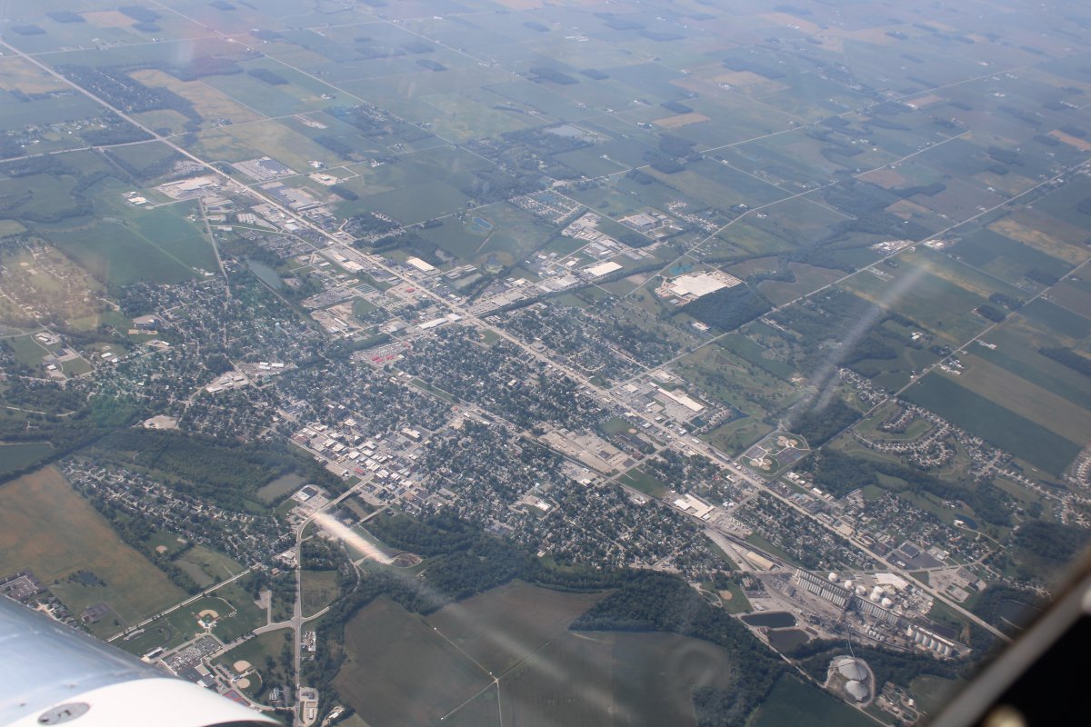
| Looking down on Decatur, Indiana. Some longtime friends live southwest of town. |
| |
 |
|
| Passing to the south of Fort Wayne Airport which has Class C airspace but we were well above that. |
| |
 |
|
|
Crusing across Indiana. Or was it Illinois?
|
| |
 |
|
| Descending into farm country. |
| |
 |
|
|
Interestate 39 runs north - south: exactly.
|
| |
 |
|
| On a left base for runway 18 at Marshall County Airport (C75) near Lacon, Illinois. We stopped for fuel here since it had a good price, $5.99. By comparison, the fuel at our home airport is $7.00/gallon. Ouch. |
| |
 |
|
| Back taxiining to the FBO. |
| |
 |
|
| We weren't sure at first if we would be able to get fuel, since the ramp area was under construction. But we were able to. |
| |
 |
|
|
Parked on the ramp at Marshall County. I remarked to the FBO Manager something about the airport being on banks of the Mississippi River. He said it was the Illinois River, but don't feel bad, lots of people make that mistake.
|
| |
 |
|
|
Taking off at Marshall County.
|
| |
 |
|
| Almost immediately we were crossing the Illinois River. A very nice river; I'll have to fly it someday. It basically starts at Lake Michigan as the Des Plains River, runs right through Chicago, then turns into the Illinois which runs southwest all the way to the Mississippi River. |
| |
 |
|
|
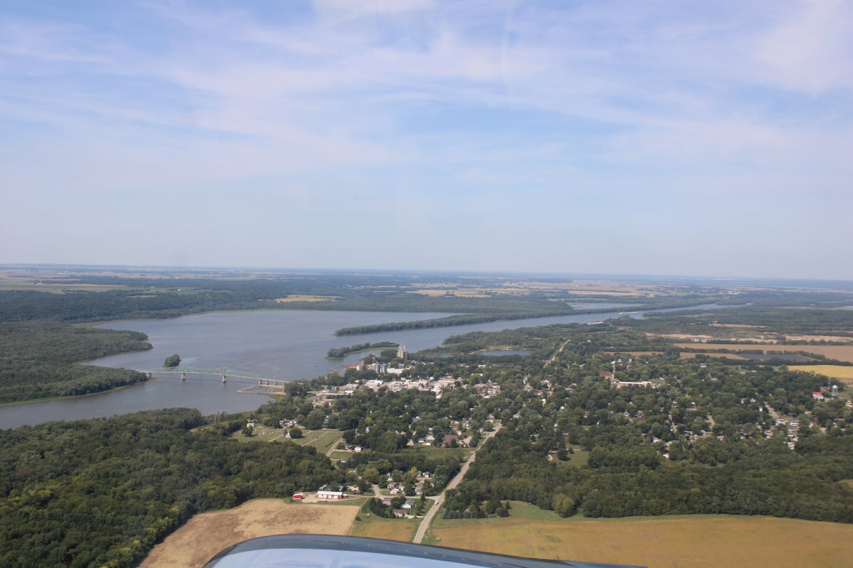
Looking north at Lacon and the Illinois River.
|
| |
 |
|
| Passing by Galesburg Municipal Airport (KGBG), home of the National Stearman Fly-in. In 2021, they had the 50th Stearman Fly-in with 152 Stearmans on hand. We just missed the 2022 Fly-In which was September 5 to 11. |
| |
 |
|
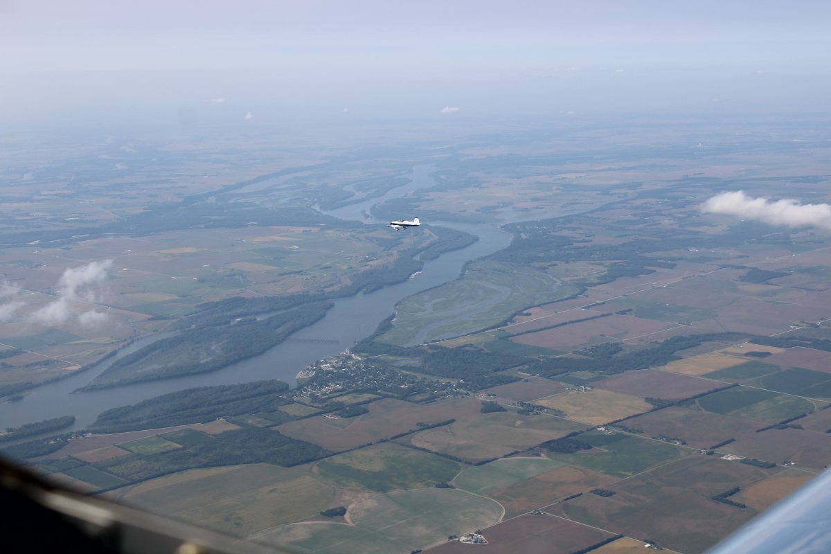
| About to cross the mighty Mississippi River. Here, I'm looking north. |
| |
 |
|
|
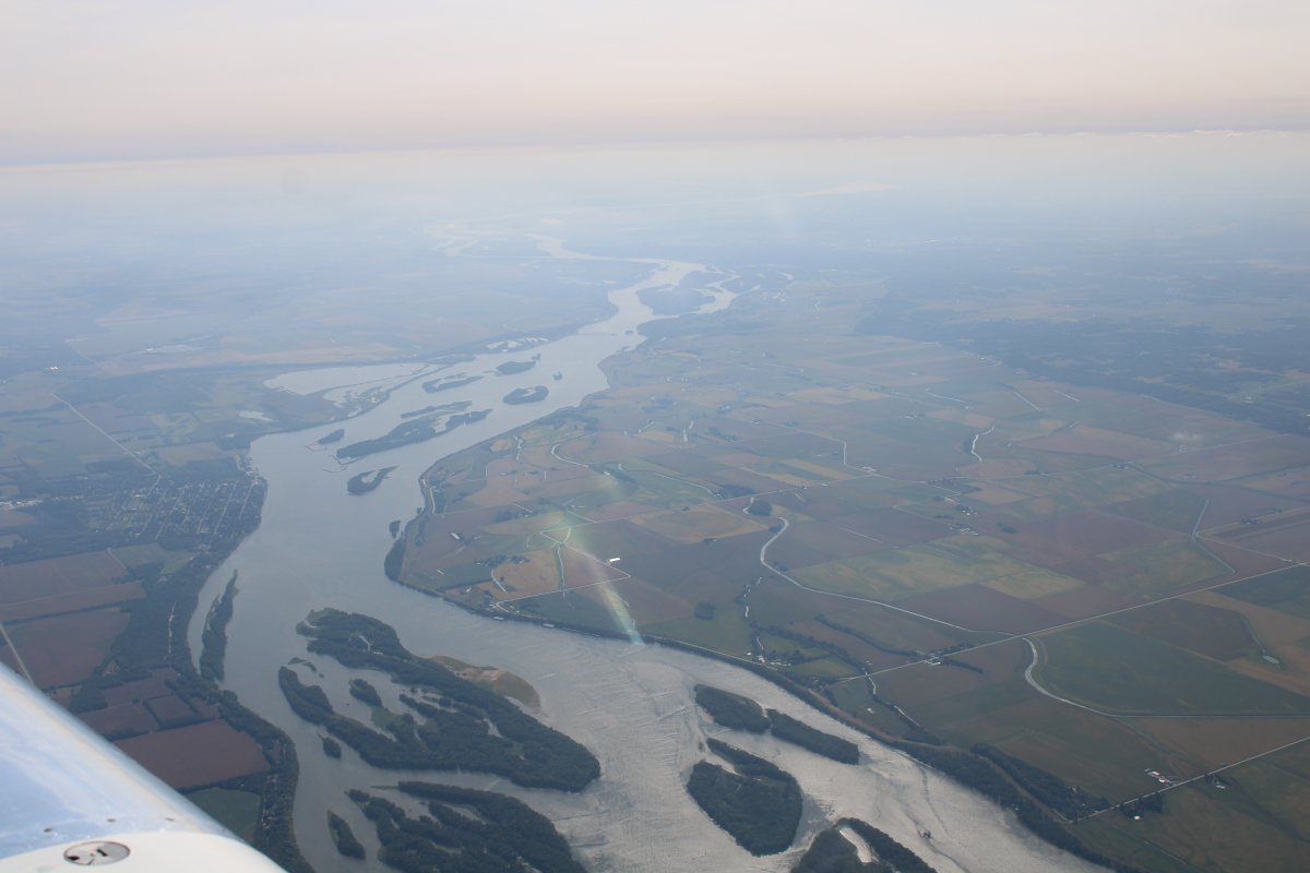
Looking south into the haze.
|
| |
 |
|
|
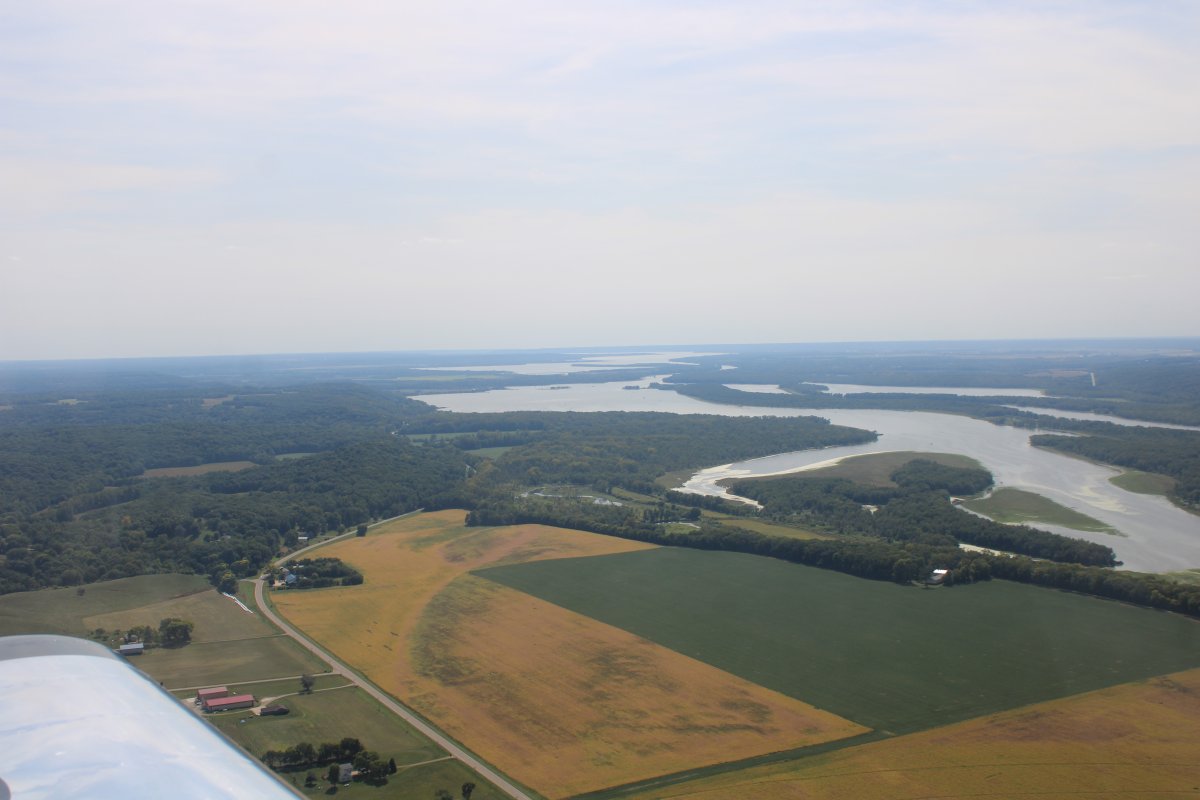
A good shot of the Iowa River as it joins the Mississippi River. We are in Iowa now.
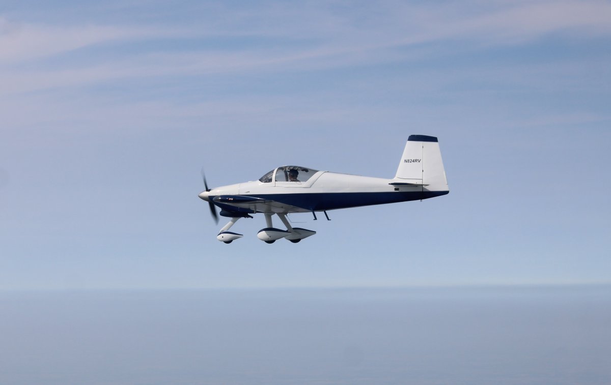
Chuck and I are flying together on this leg. The two RV-8s like to go fast and are ahead of us.
|
| |
 |
|
|
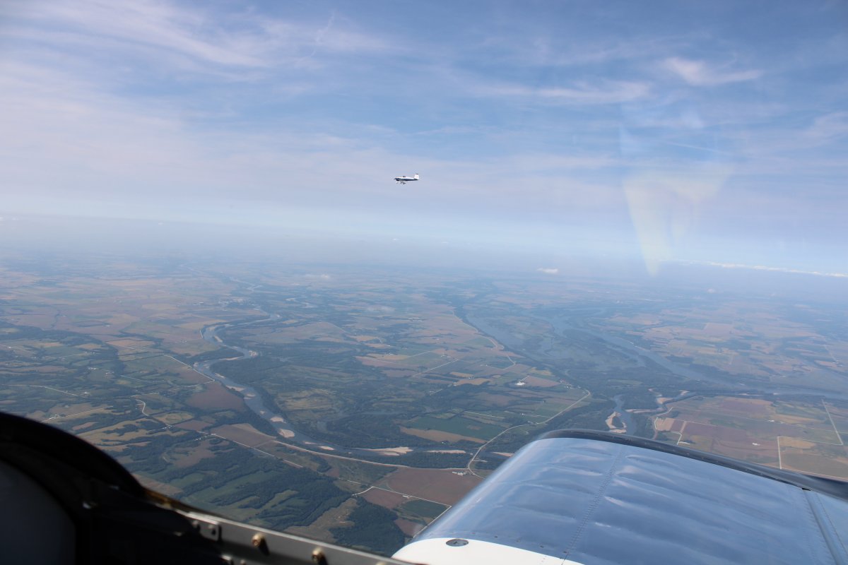
This is new territory for Chuck.
|
| |
 |
|
|
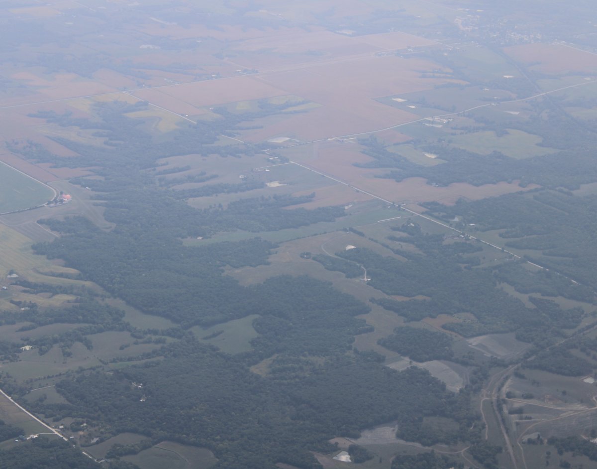
Looking down at what I think is Ancam Antique Airfield. It's a grass strip in the center of the picture (I think).
Antique Airfield is the home of the Antique Airplane Association and the Airpower Museum, in Blakesville, Iowa. Their highly regarded annual AAA/APM Invitational Fly-in was only a couple of weeks ago: August 30 - September 5th.
|
| |
 |
|
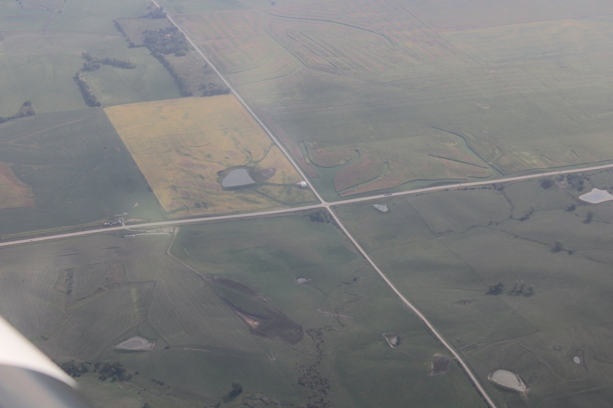
| Nothing remarkable about this picture; just a non-descript north-south-east-west intersection. |
| |
 |
|
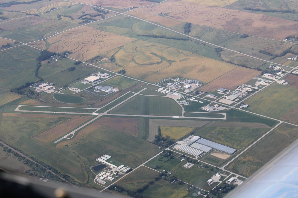
| Passing overhead Red Oak Municipal Airport (KRDK). I landed and overnighted here back in 2011, returning from my Sante Fe Trail long cross-country. |
| |
 |
|
|
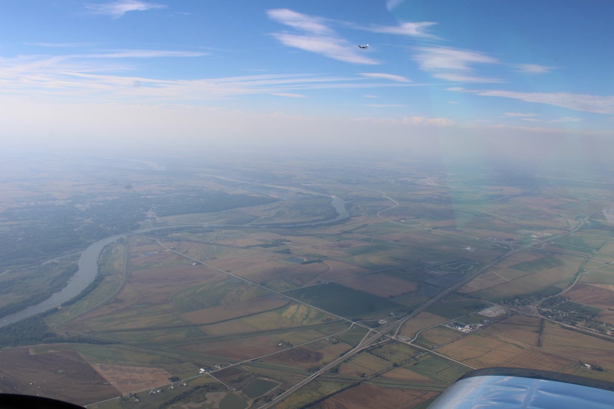
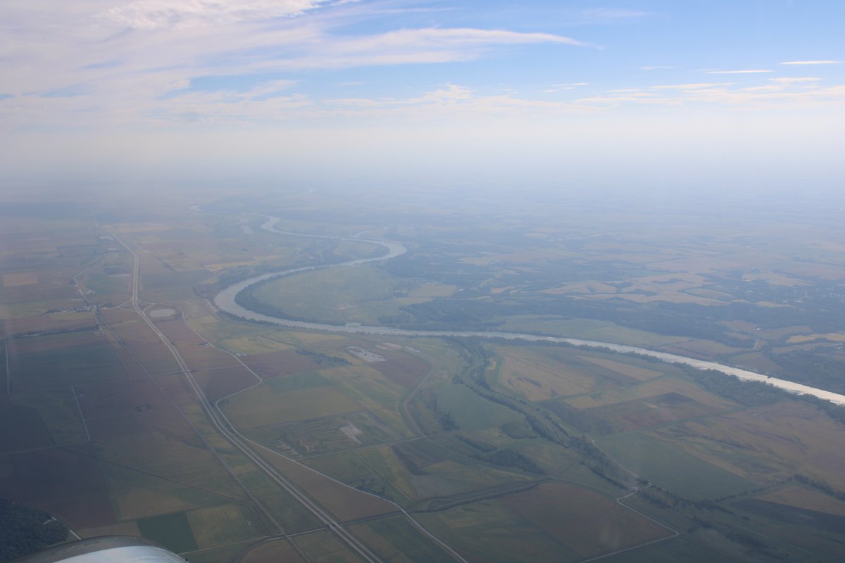
Approaching the Platte River where we will cross into Nebraska.
|
| |
 |
|
| Looking south down the Platte River. |
| |
 |
|
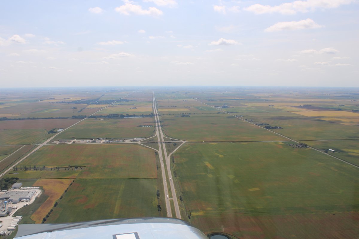
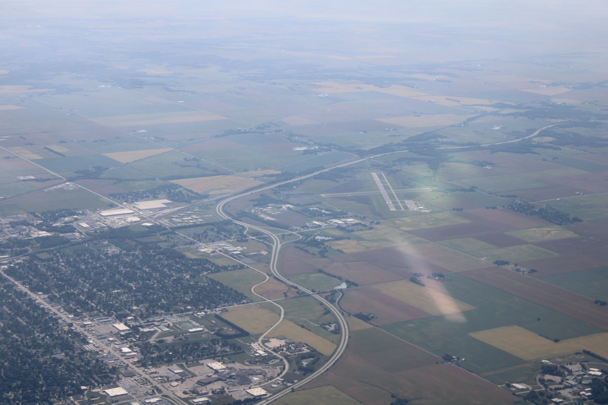
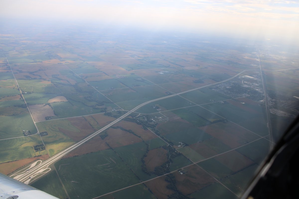
| Looking down at Intersate 80 as it heads into Lincoln, Nebraska. |
| |
 |
|
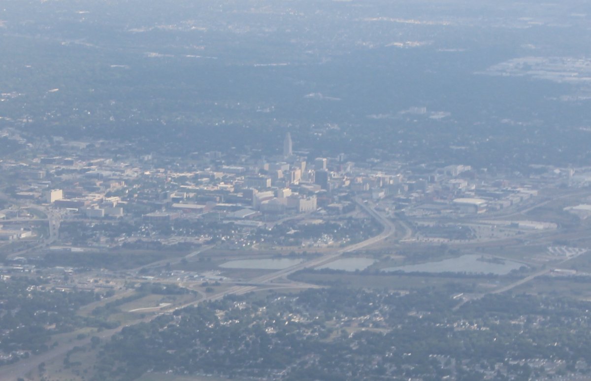
| Passing by Lincoln, Nebraska. Lincoln is a college town, home of the Nebraska Cornhuskers. I was looking hard for their big football stadium but never really saw it until I looked closely at this picture. It is dead center, just below that tower. Nebraska once was a college football powerhouse, but no longer. In fact, they have already fired their coach this year after just three games. |
| |
 |
|
|
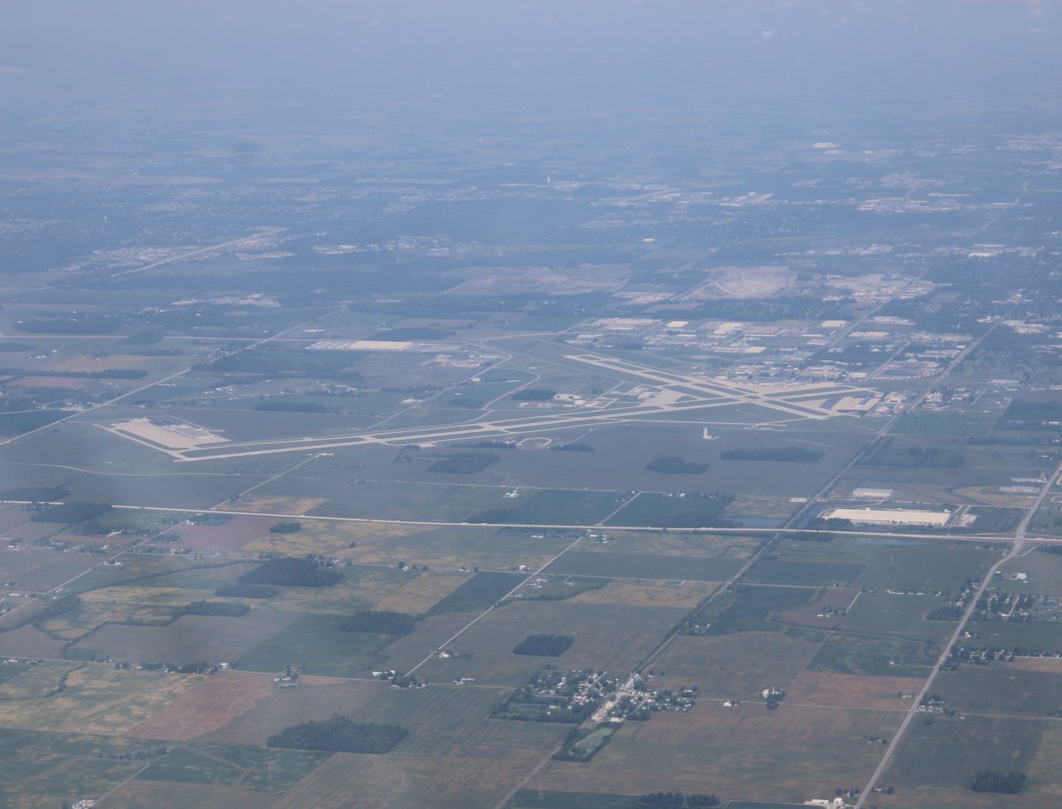
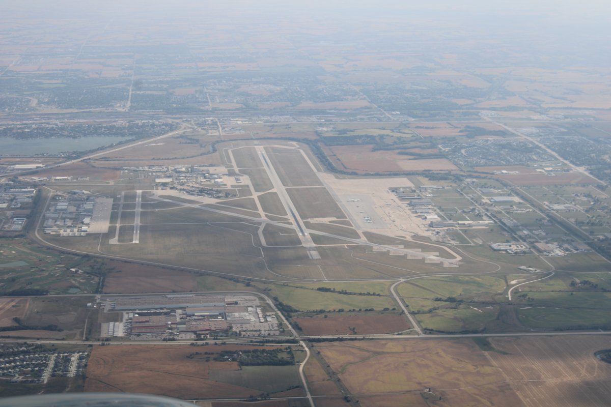
Looking down at Lincoln Airport (KLNK). We just flew over their Class C airspace.
|
| |
 |
|
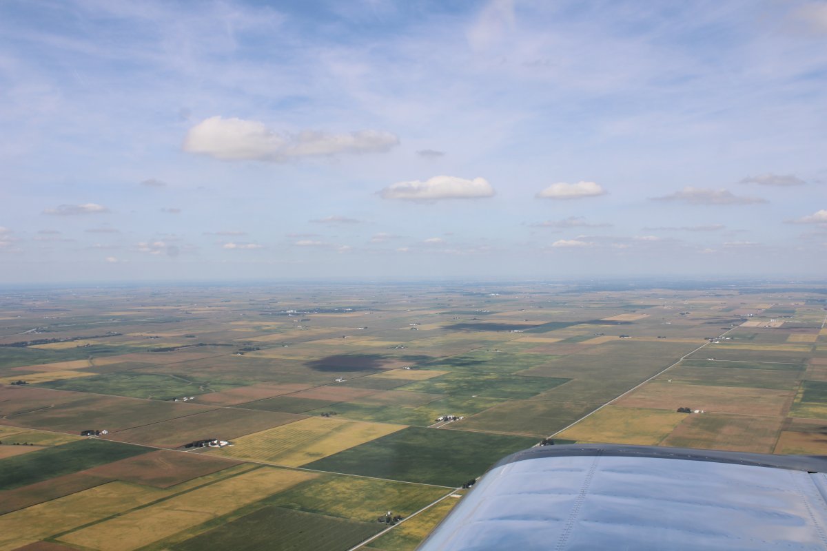
| Continuing west over the vast fields of corn. |
| |
 |
|
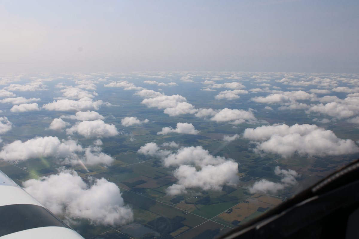
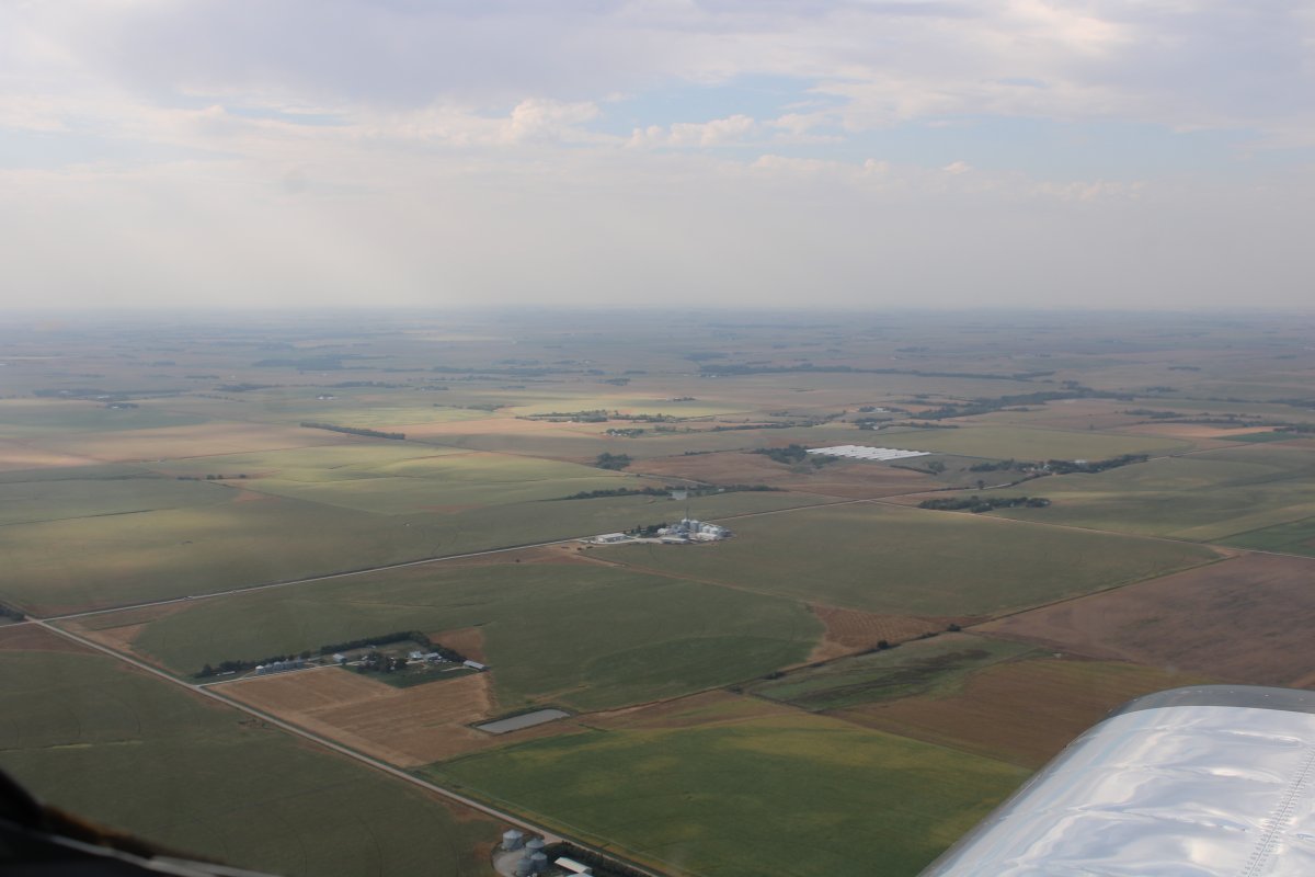
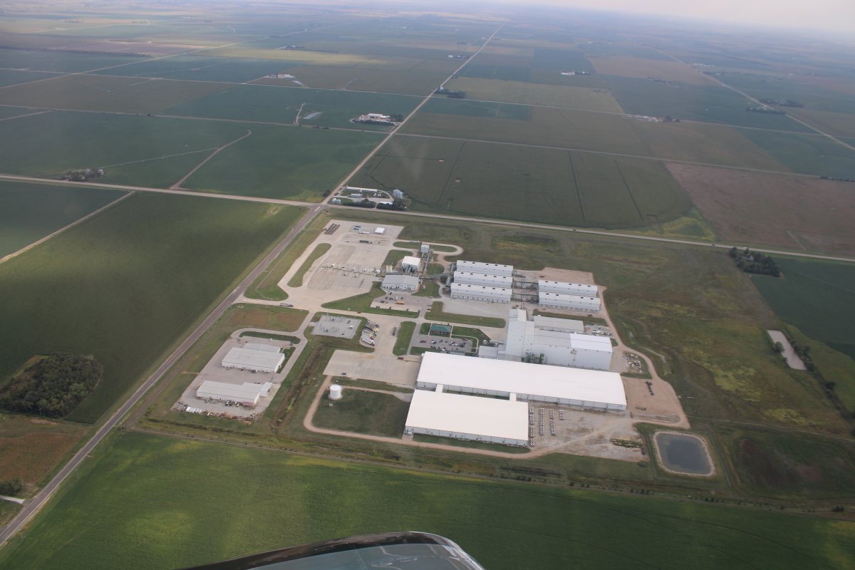
| Starting our descent, passing by a big complex of some sort. |
| |
 |
|
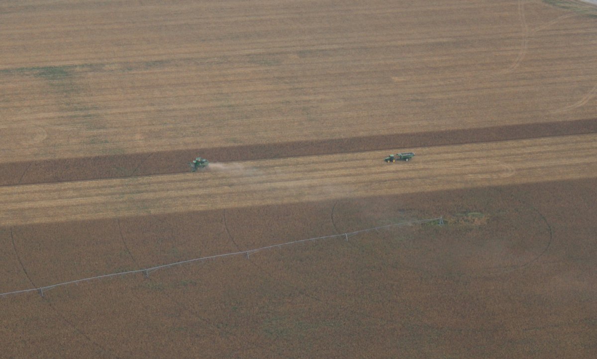
| A combine doing its thing. |
| |
 |
|
|
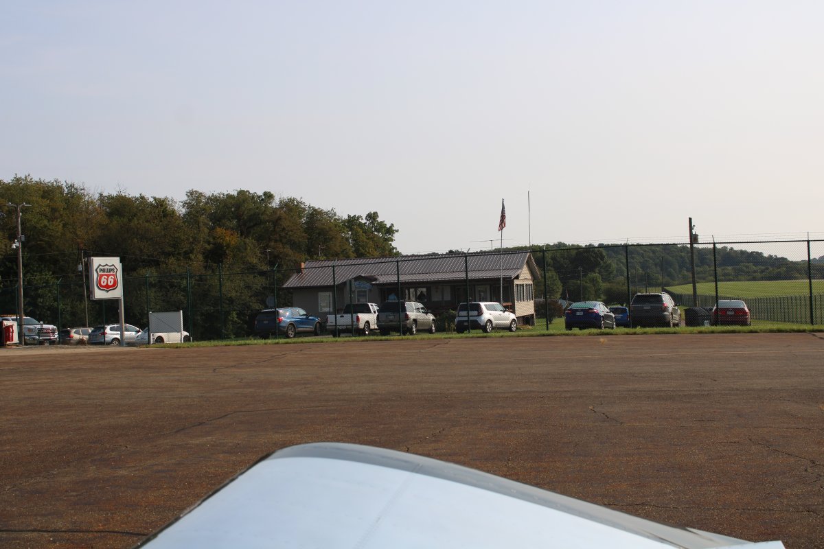
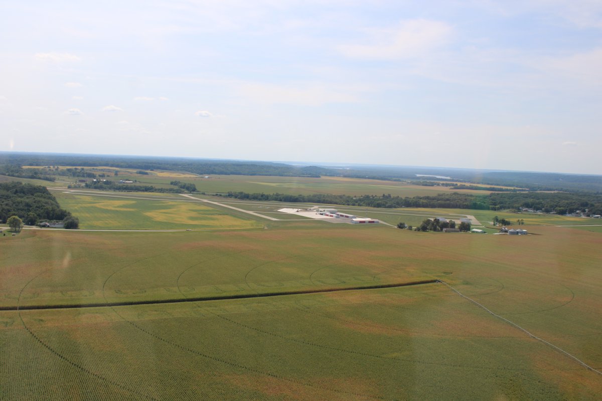
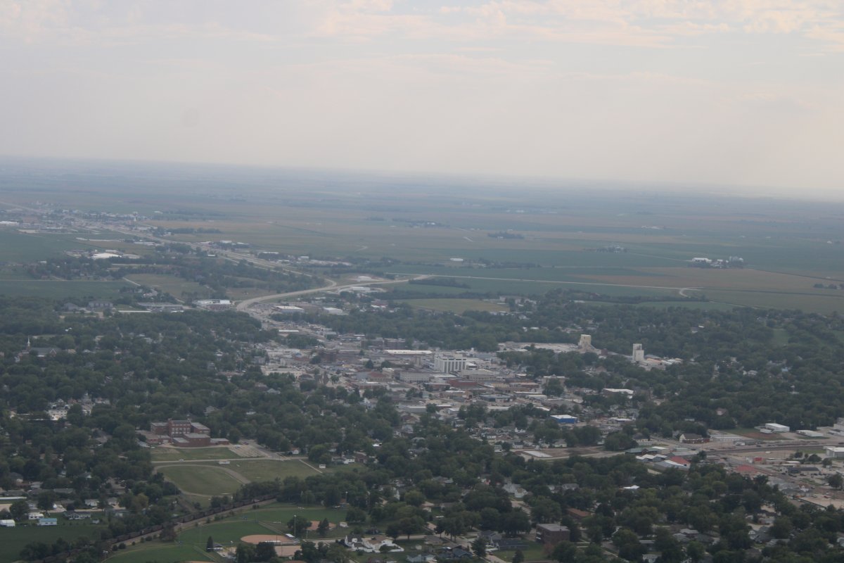
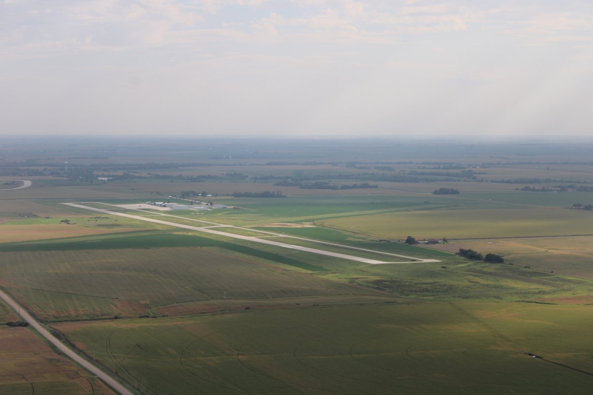
The little town of York, Nebraska, our destination for today. I had picked York because it was about two-thirds of the way to Utah, it had decent fuel prices, and it had the all-important courtesy car.
|
| |
 |
|
|
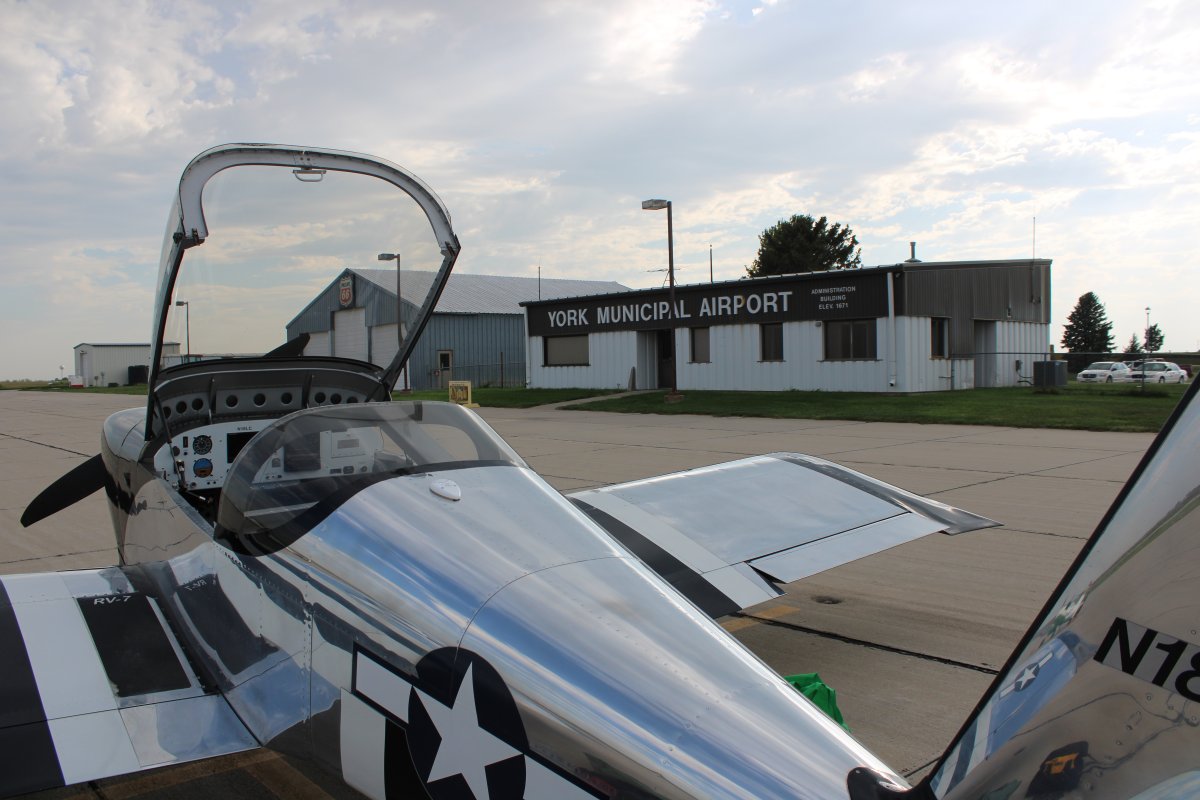
York Municipal Airport (KJYR). Field elevation 1,670 feet. Almost a 6,000 foot runway. Mugsy and Mark had arrived ahead of us, about a 4:45 PM, and secured the courtesy car.
|
| |
 |
|
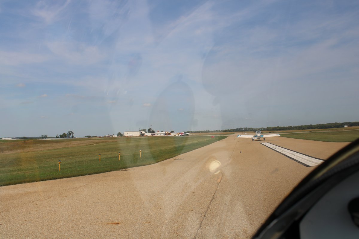
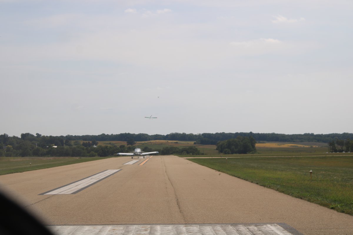
| On final on runway 17. Can't go wrong with a six thousand foot runway, 100 feet wide! |
| |
 |
|
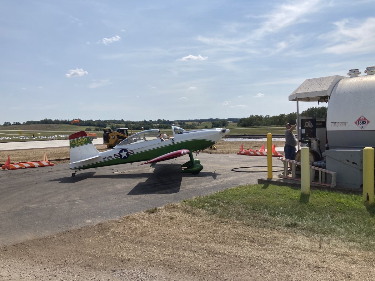
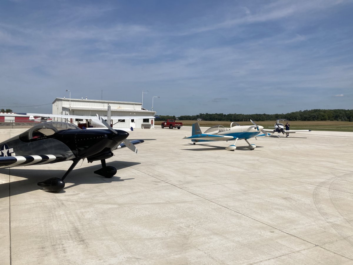
| Done flying for the day. The others got a kick out of the courtesy car which was a retired, well-worn police cruiser. We had made our lodging reservations earlier in the day via Booking.com. Yeah. Setting the pattern we would follow for the entire trip, we got two rooms -- Mugsy and I, Chuck and Mark. Save a little money to buy avgas with. |
| |
 |
|
| |
| |
| |
|
|
|
|
|
|