November 3, 2020 - Great Sand Dunes National Park
|
|
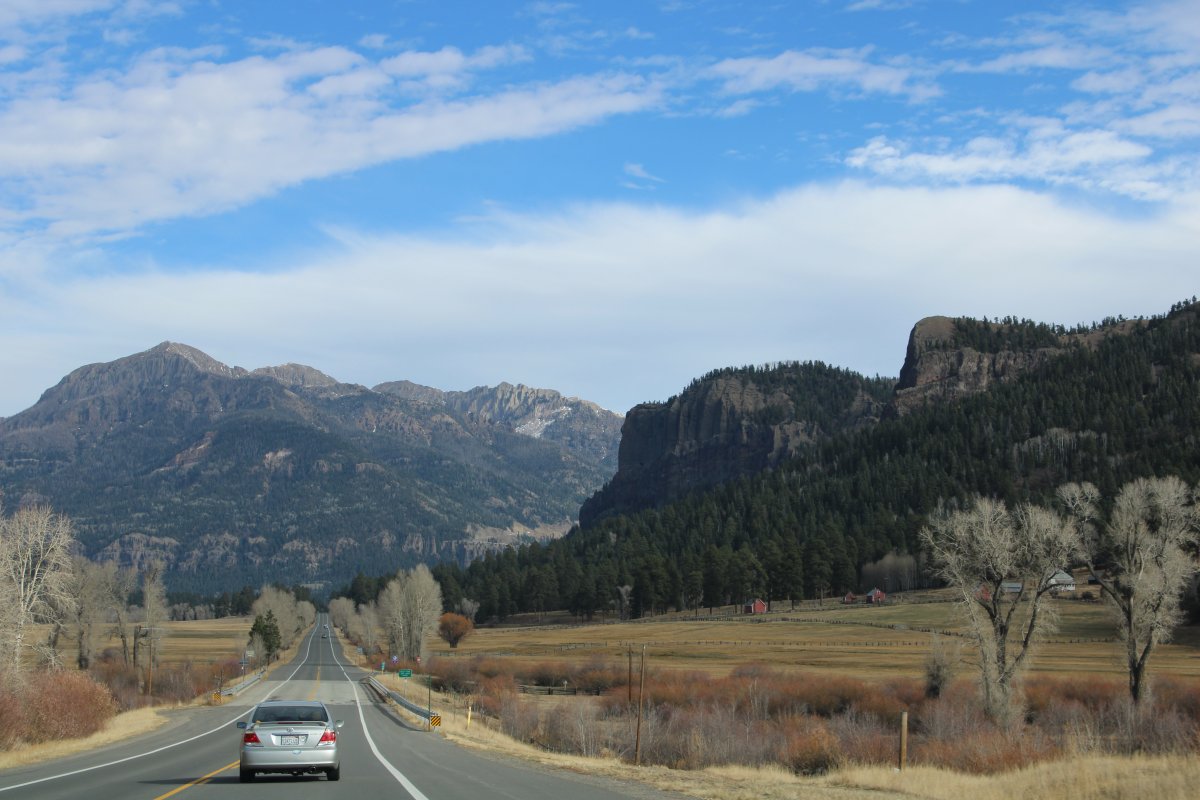
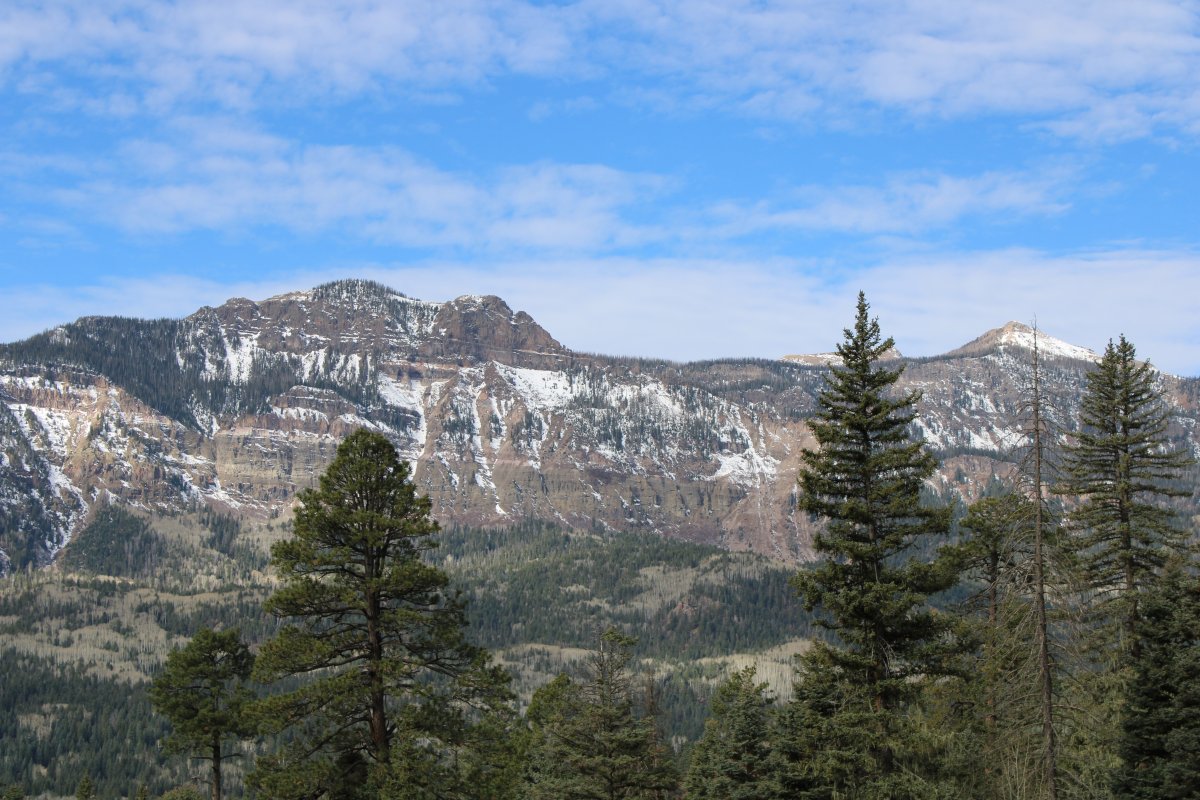
This morning we left Durango and headed east on Highway 160 -- the old Spanish Trail -- which would take us back through the San Juan Mountains. Our destination was the Great Sand Dunes National Park.
Durango seemed a little more upscale and prosperous that what we were used to. It is known worldwide for the Durango & Silverton Narrow Gauge Railroad, a heritage railway that travels from Durango to the historic mining town of Silverton, Colorado via steam-powered trains. The history of the town and the D&SNG are inextricably woven, dating back to the 1880s.
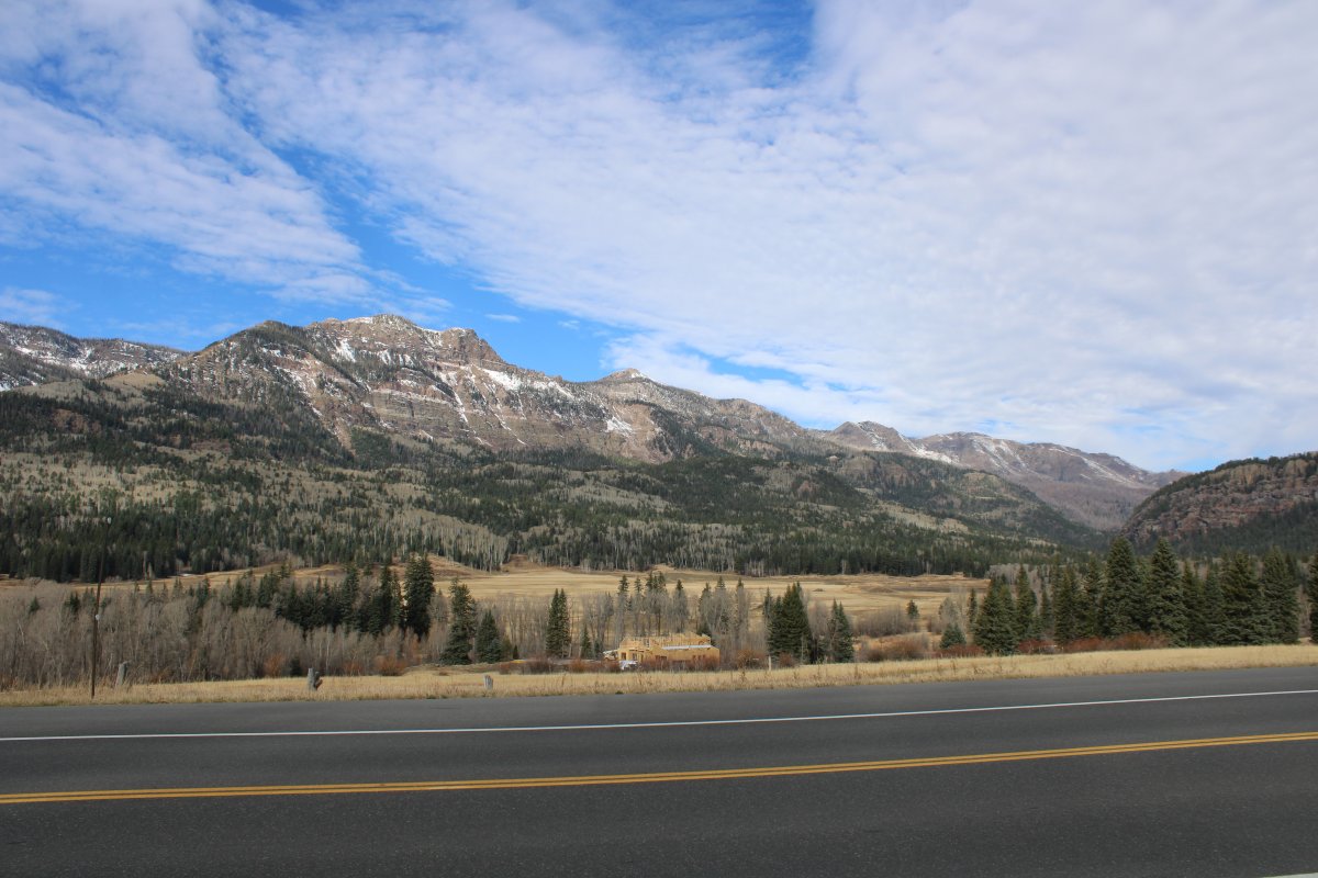
Heading into the San Juan Mountains.
|
| |
 |
|
|
|
| |
 |
|
| |
| |
 |
|
|
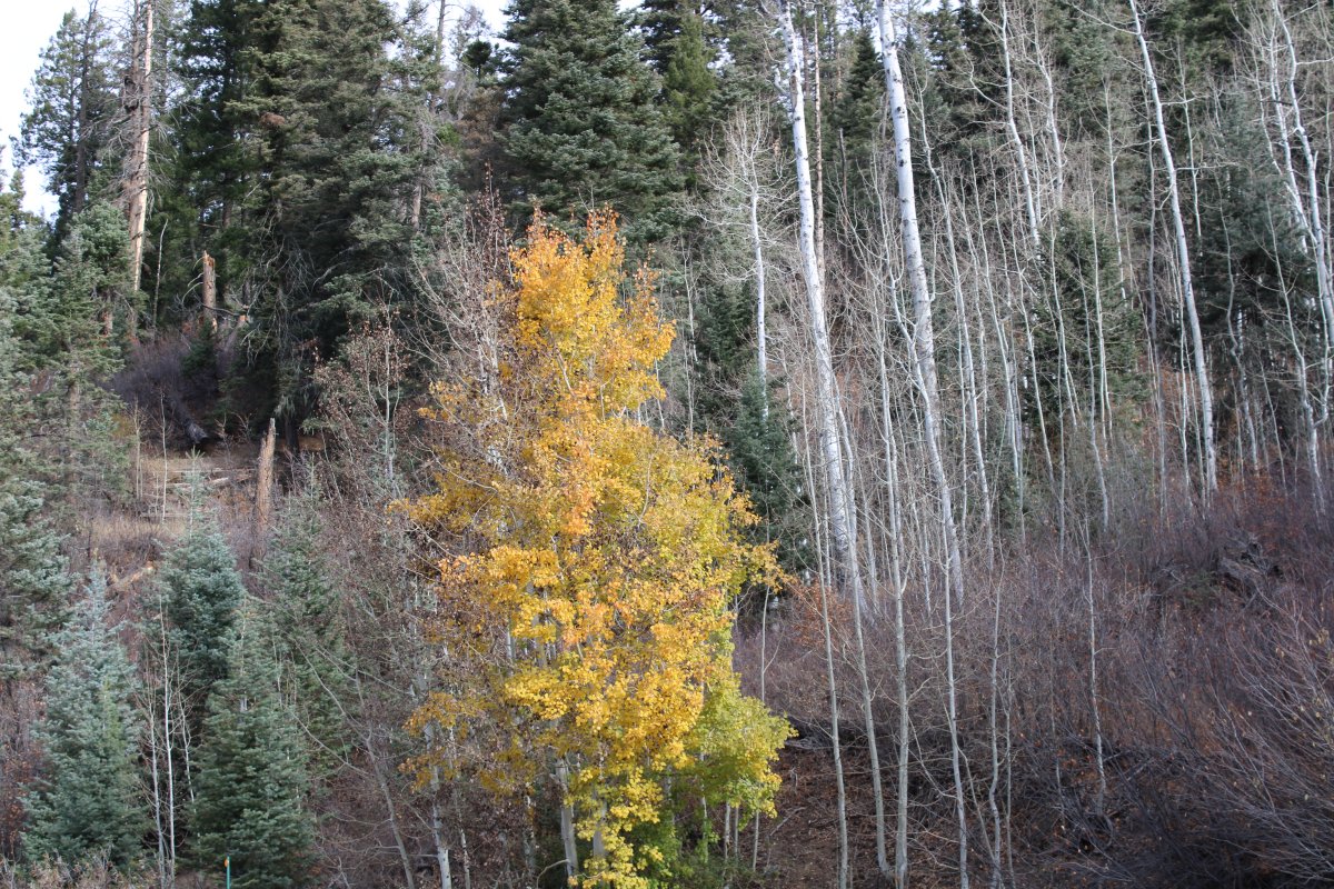
Aspen just past peak.
|
| |
 |
|
| |
| |
 |
|
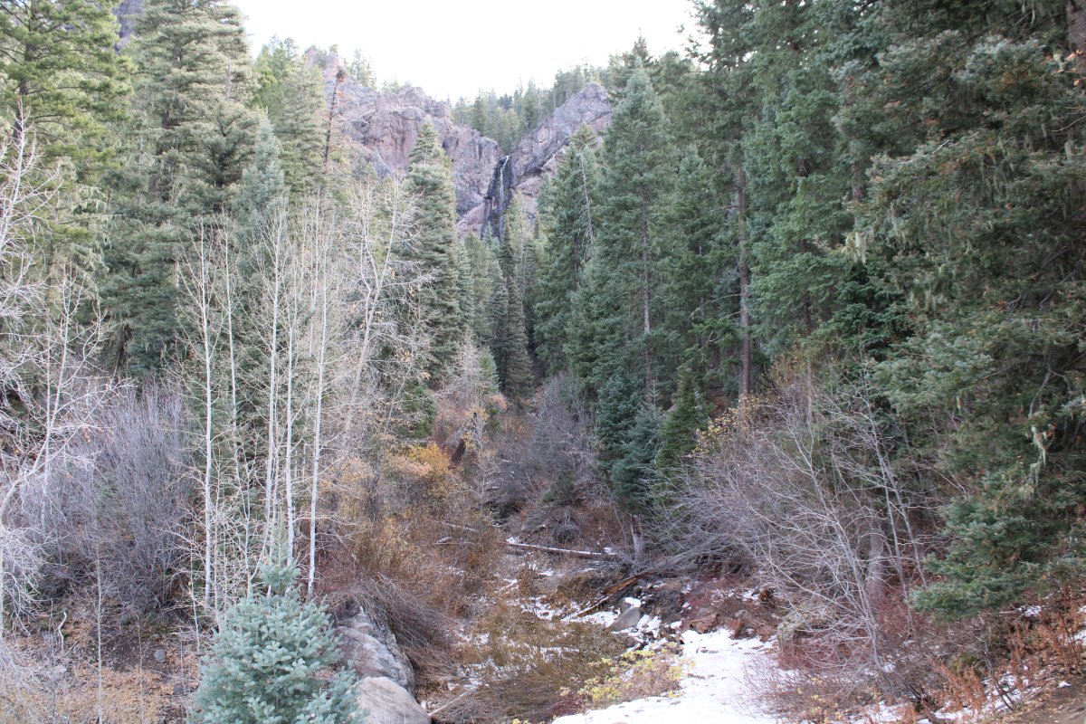
| Treasure Falls waterfall at top center. |
| |
 |
|
| |
| |
 |
|
|
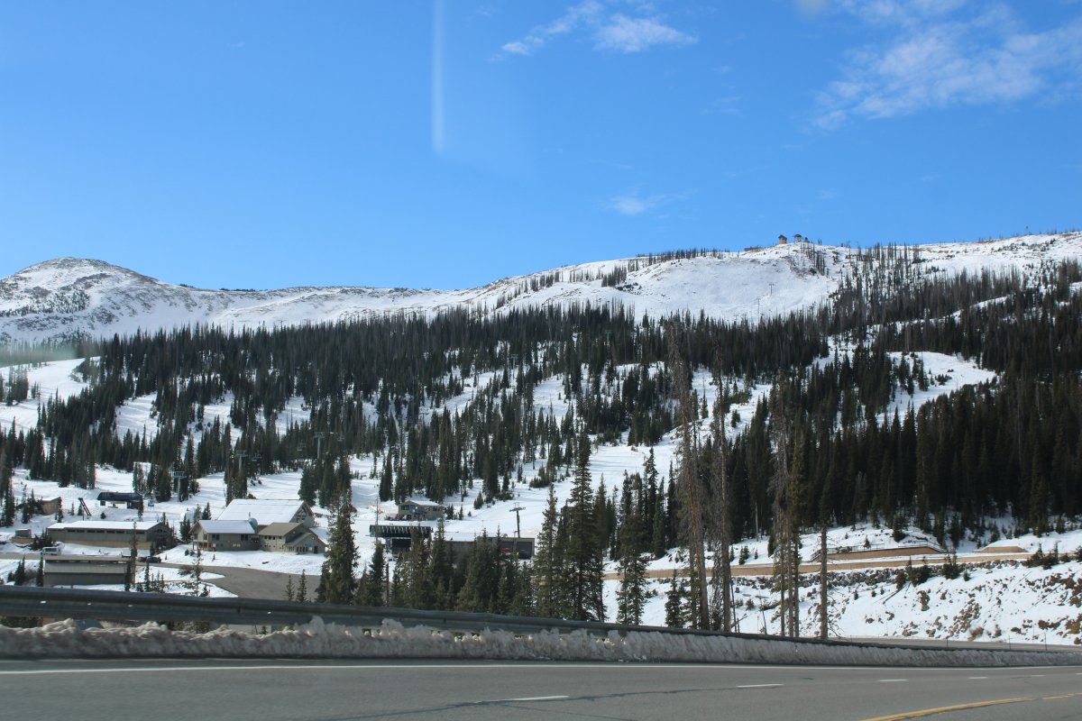
Passing by the Wolf Creek Ski Area which is at Wolf Creek Pass on the Continental Divide.
|
| |
 |
|
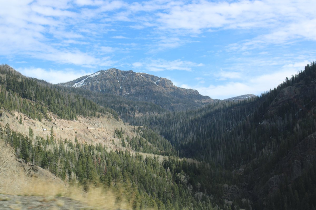
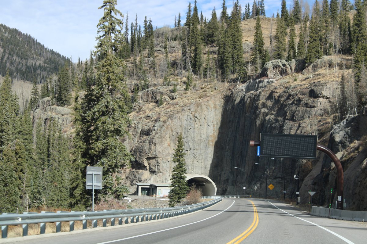
| The tunnel on the east side of the Wolf Creek Pass, opened in 2005. |
| |
 |
|
|
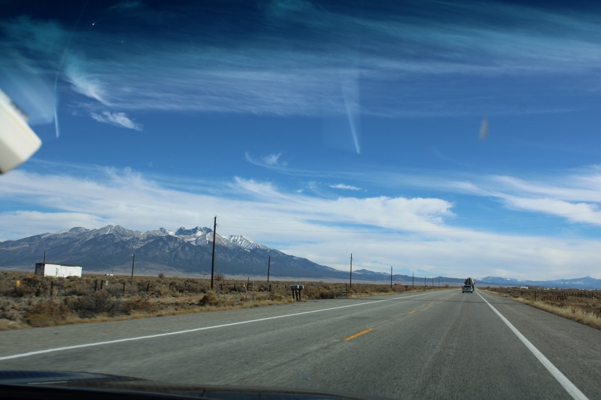
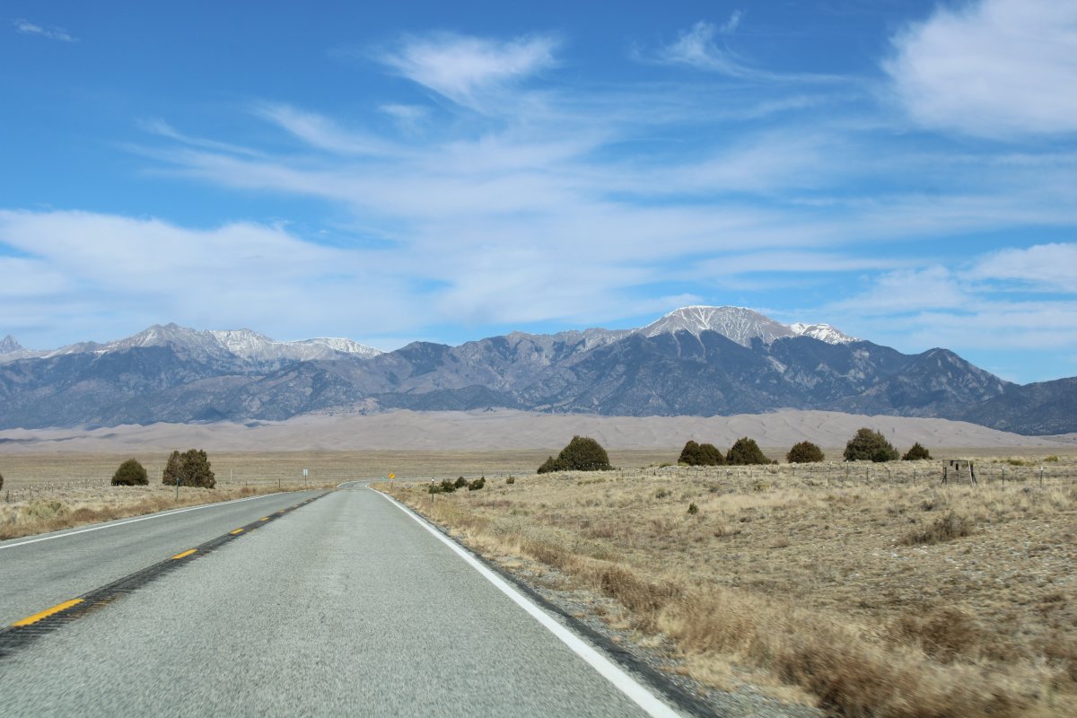
Out of the San Juan Mountains and heading east on Highway 160, approaching the turn north on Highway 150 which leads to the Great Sand Dunes. Blanca Peak, elevation 14,345, is left of center.
|
| |
 |
|
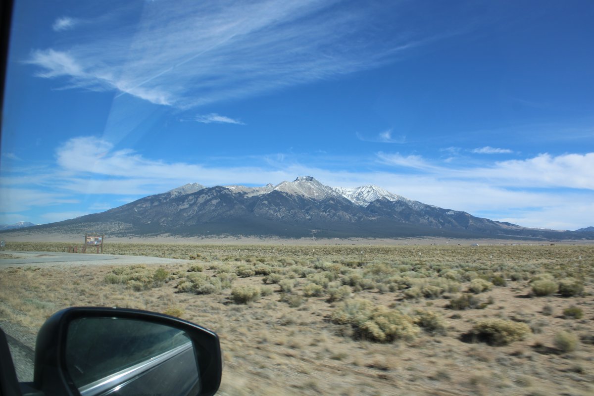
| Now heading north on Highway 150. The Park is about 20 miles from the turnoff. There is Blanca Peak again. The desert floor is 7,500 feet or so, so Blanca Peak doesn't seem that high: only 7,000 feet or so above ground level. |
| |
 |
|
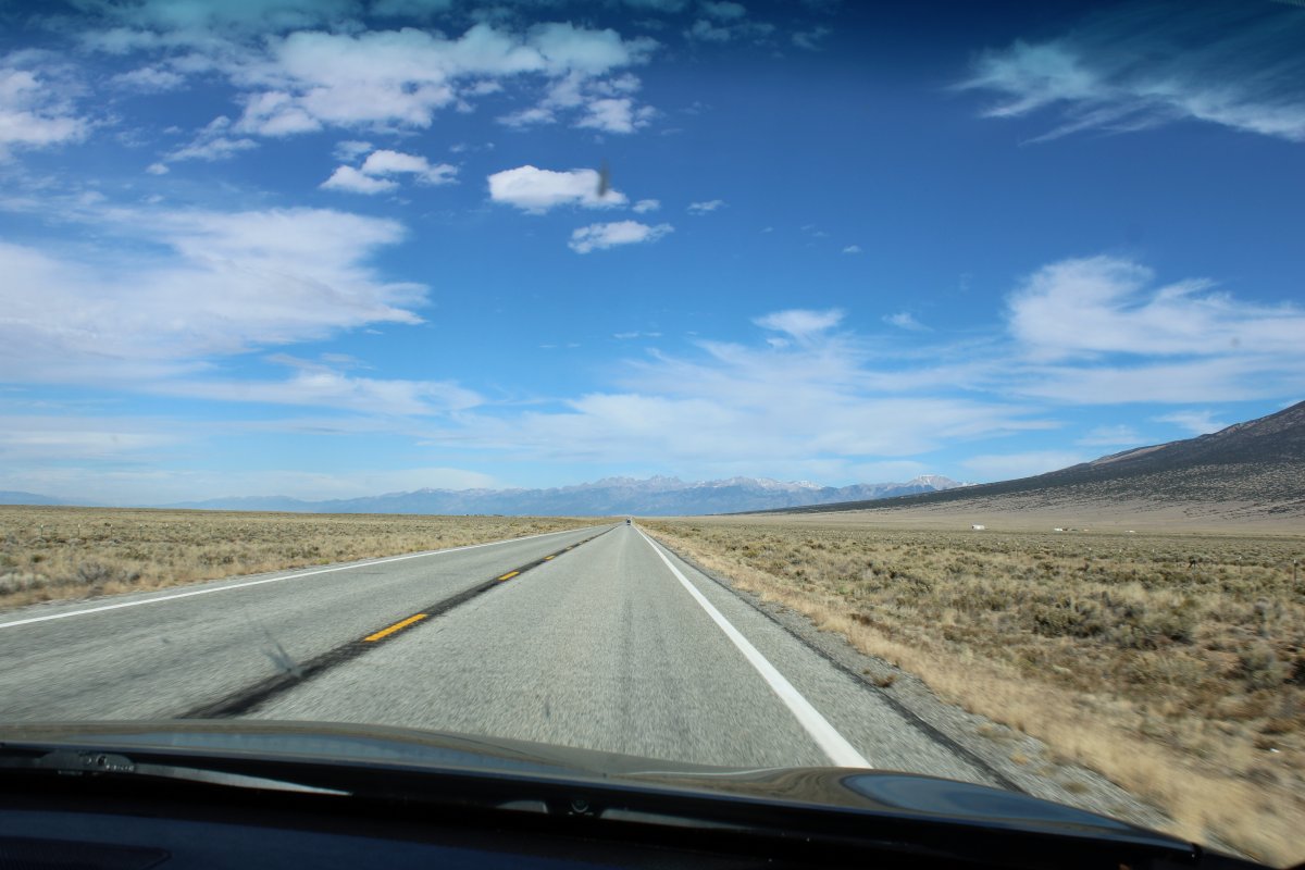
| The road goes straight as an arrow. AAA |
| |
 |
|
| The sand dunes are dead ahead, starting to rise in front of the mountains. |
| |
 |
|
|
|
| |
 |
|
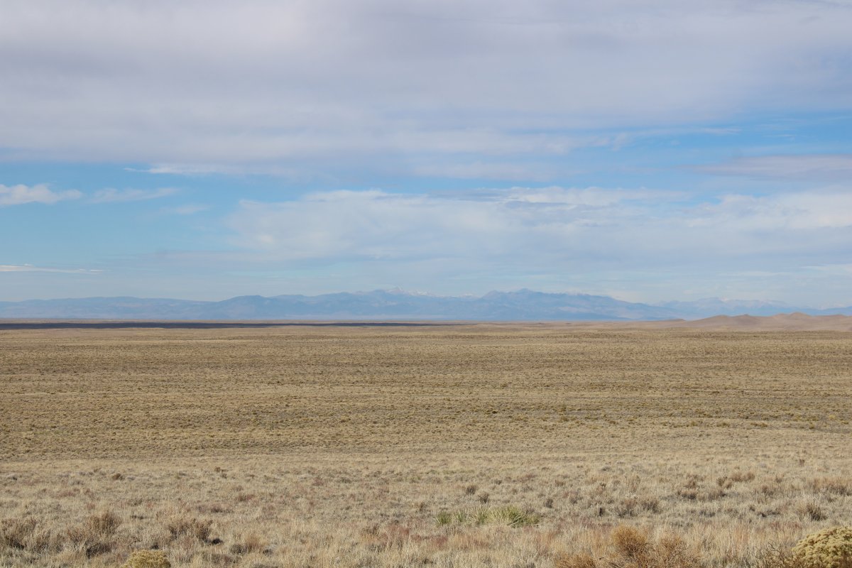
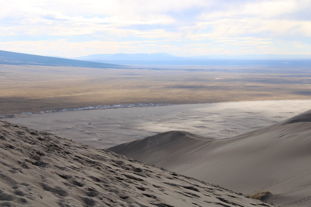
| To the west the San Luis Valley is nothing but flat high desert. |
| |
 |
|
|
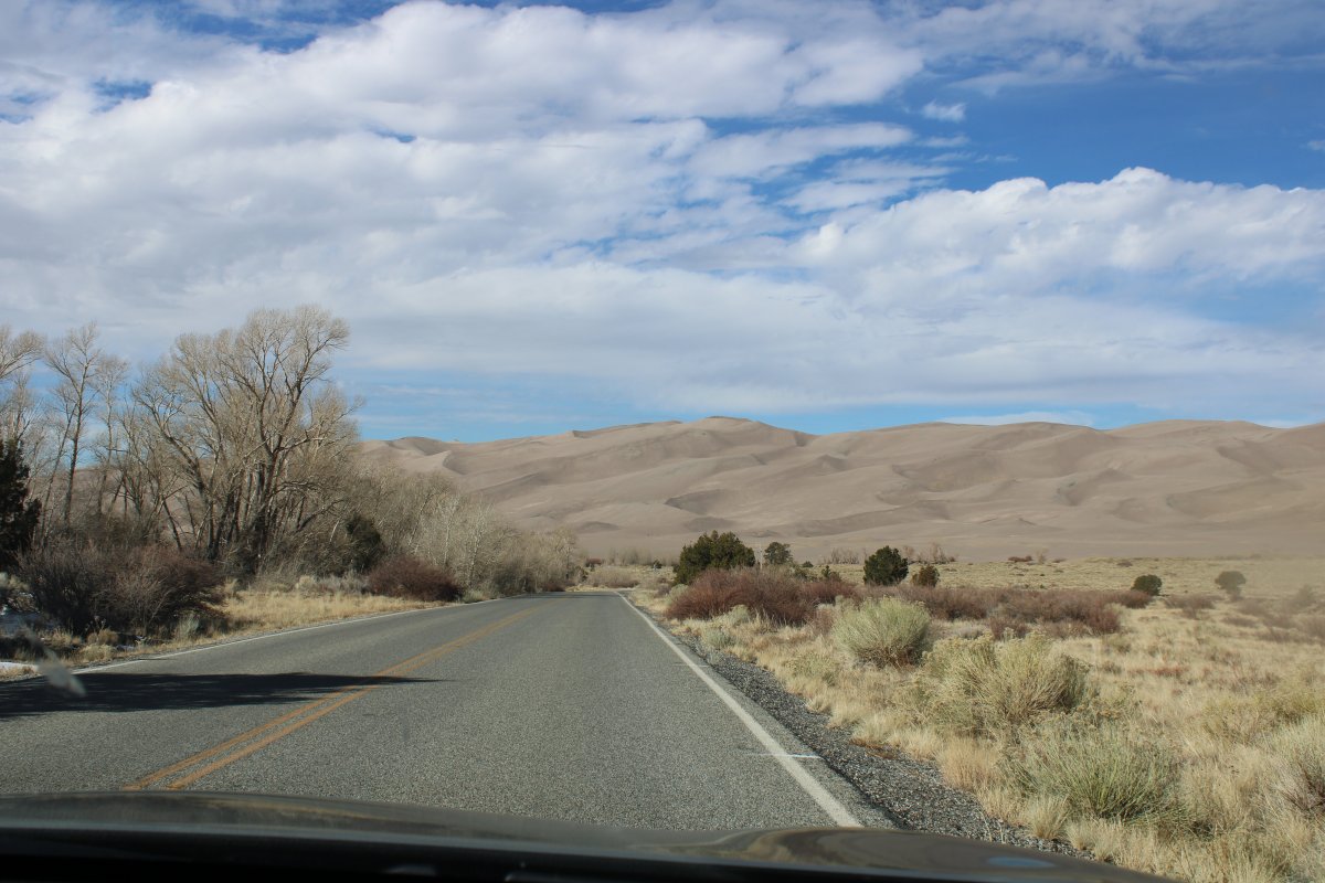
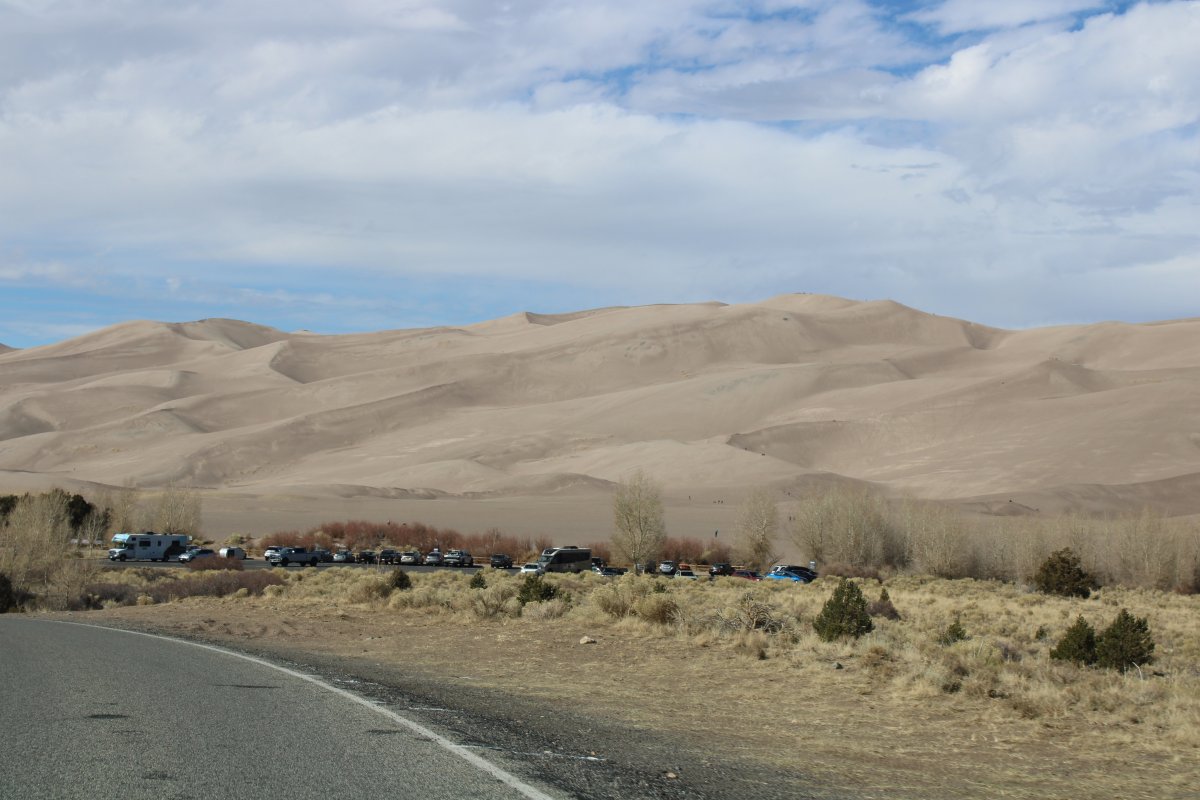
We continue into the park. The sand dunes grow larger.
|
| |
 |
|
| And larger. |
| |
 |
|
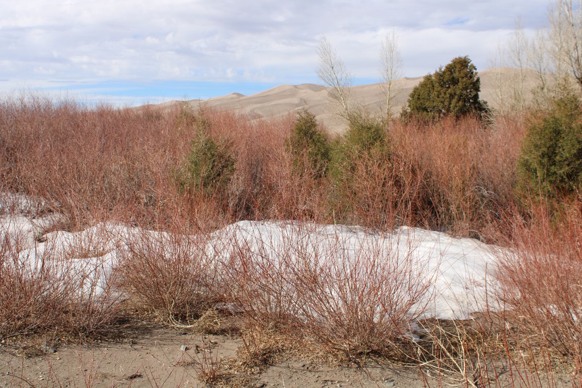
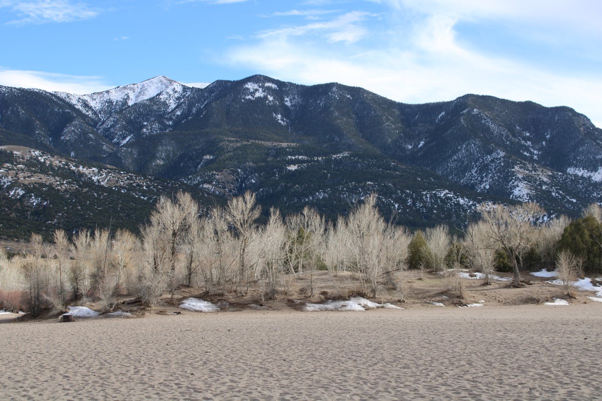
| Snow and sand; not a combination you see often. |
| |
 |
|
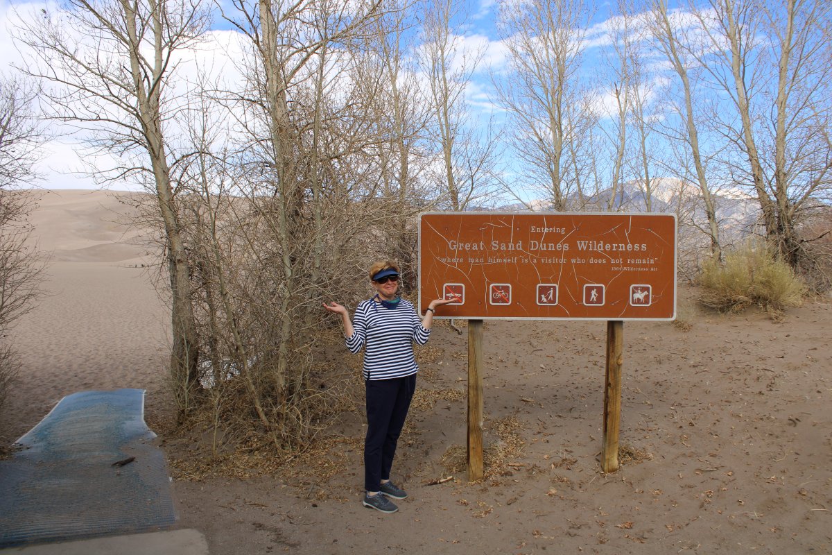
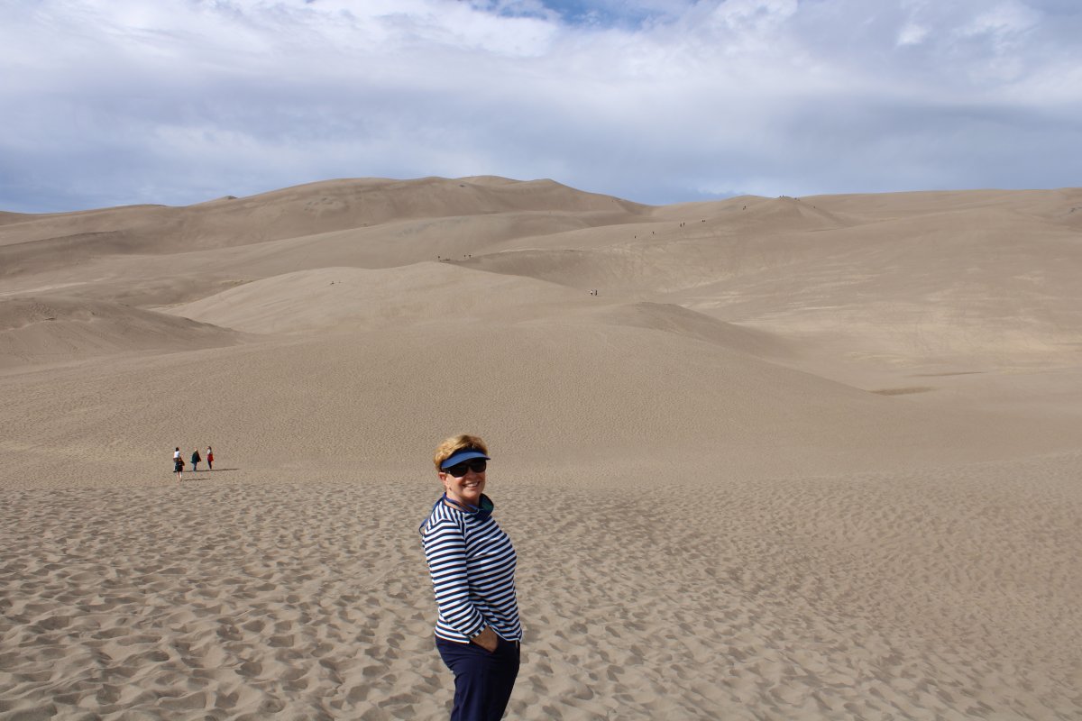
| Lynnette ready to head out into the sand. |
| |
 |
|
|
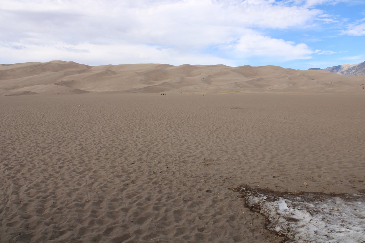
You have to cross a quarter mile or so of flat sand to get to the dunes. There are no trails, or trail makers. But there were quite a few people here so we just went with the flow.
|
| |
 |
|
| Just walking through the flat sand tired us out already, and we haven't even got to the dunes! |
| |
 |
|
|
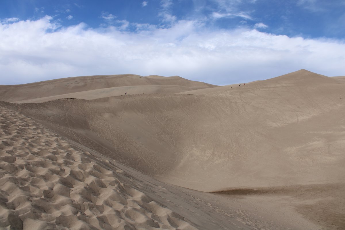
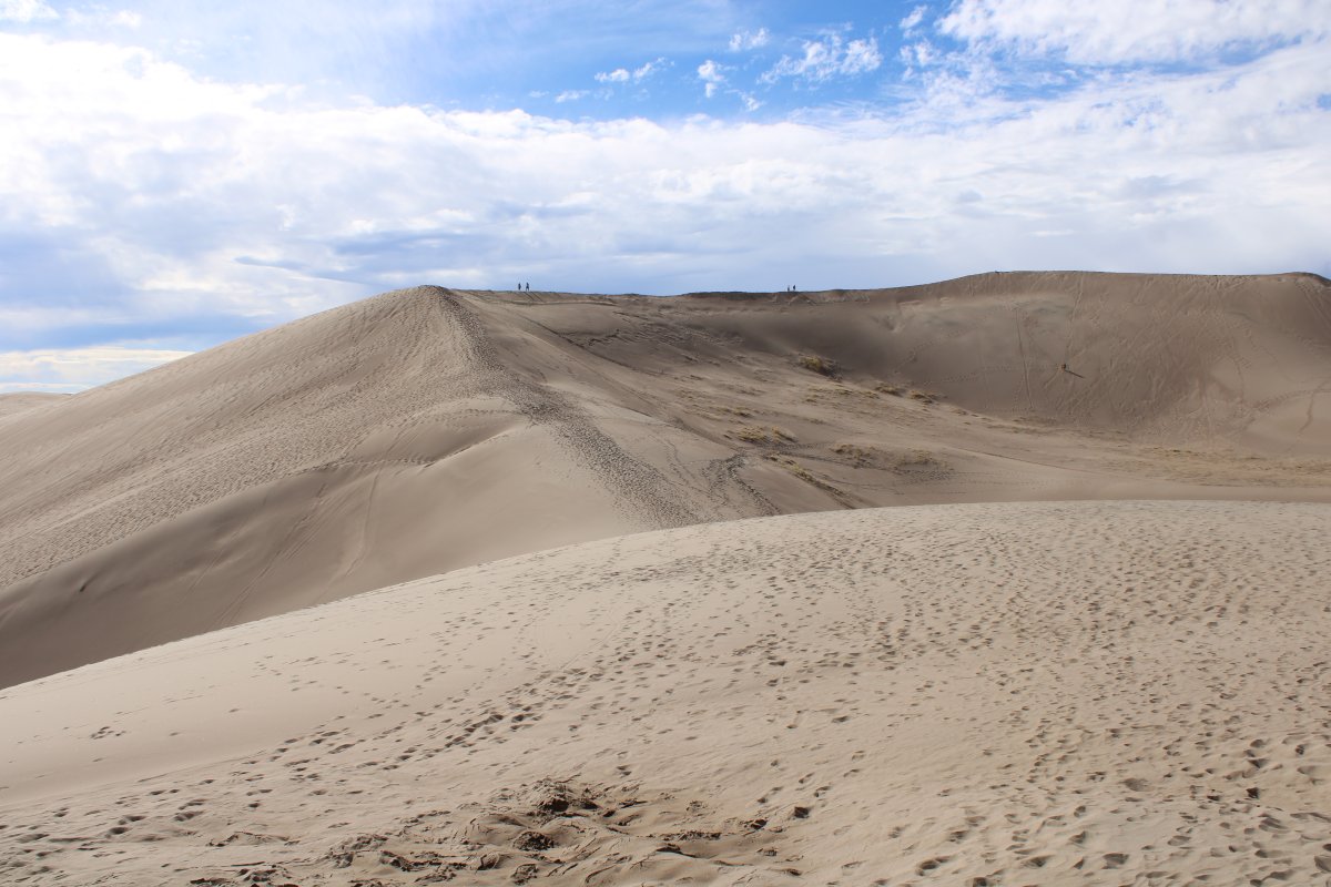
Heading on up. That peak to the right was our first objective.
|
| |
 |
|
|
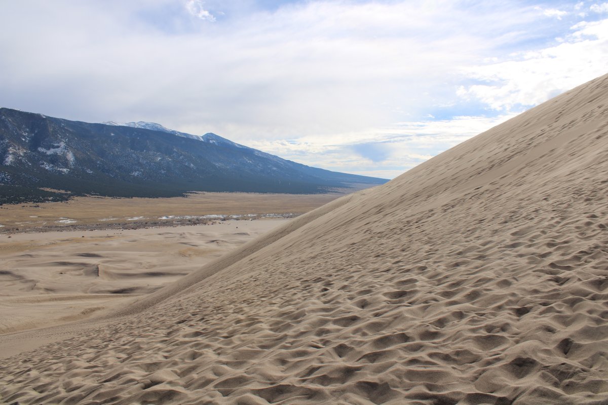
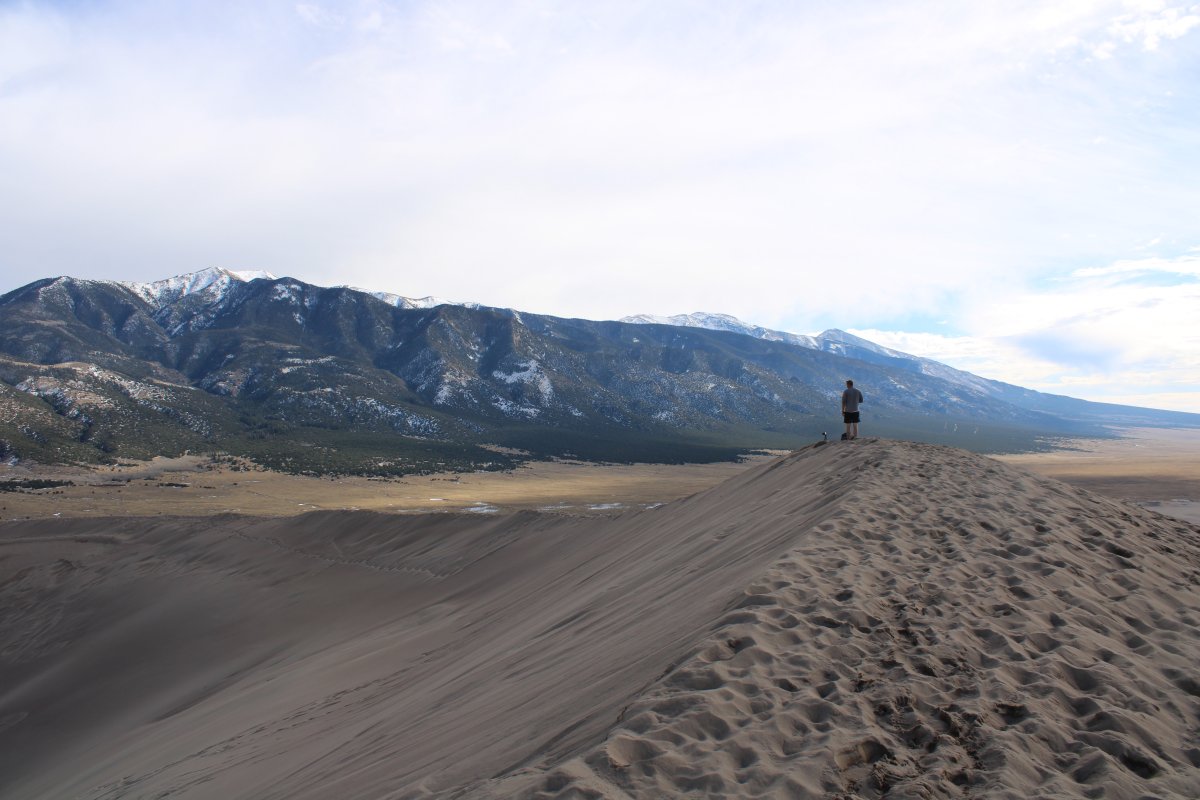
The last stretch before the peak. The sand is exhausting. Lynnette dropped out around here. Must keep going...
It was like climbing Mount Everest. I'd take ten steps and have to rest for a minute. Then ten more steps and rest for a minute.
|
| |
 |
|
|
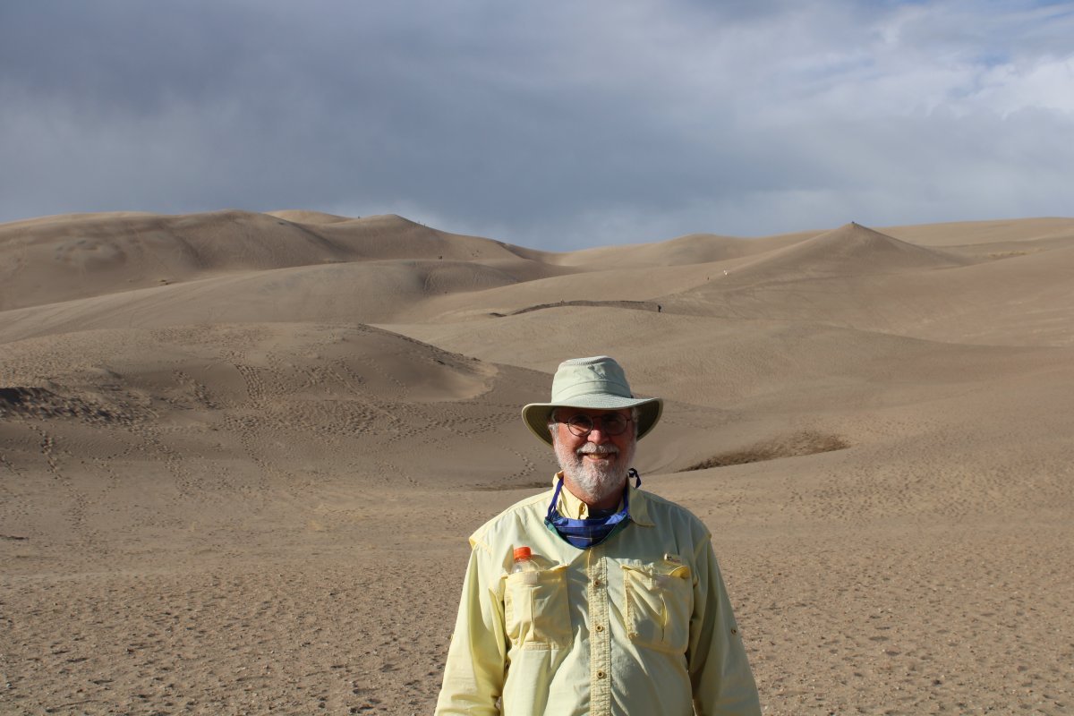
But I finally made it!
|
| |
 |
|
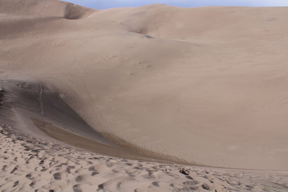
| Looking down at the smooth sand. |
| |
 |
|
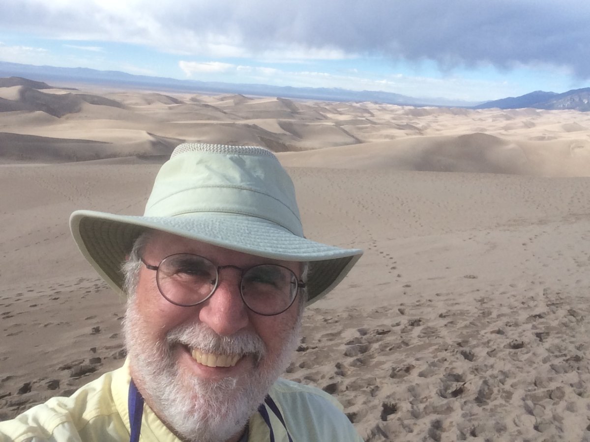
| SELF |
| |
 |
|
|
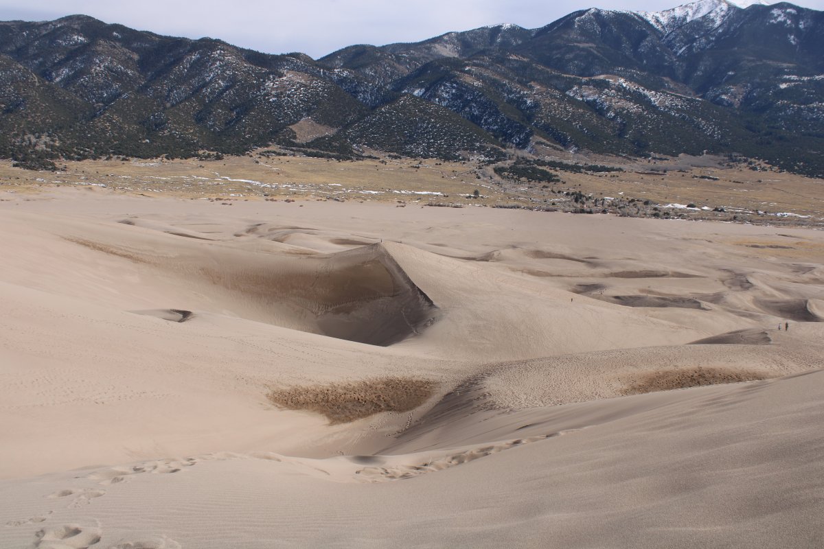
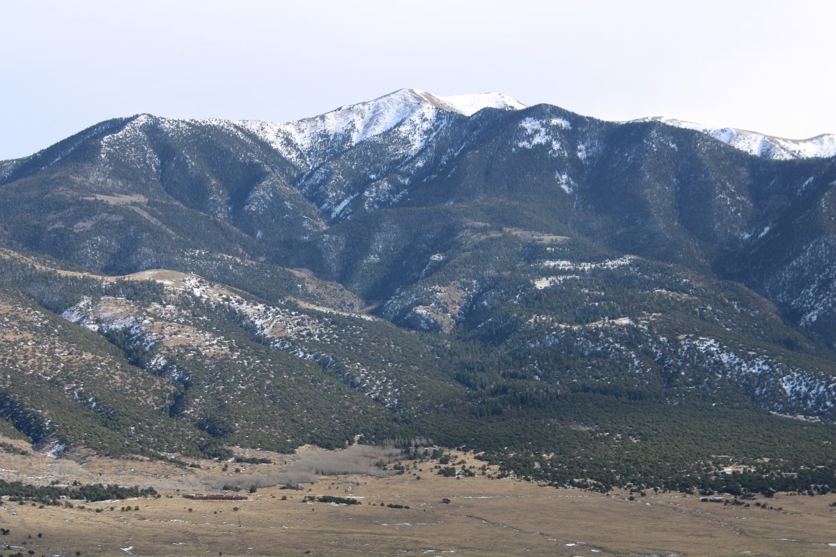
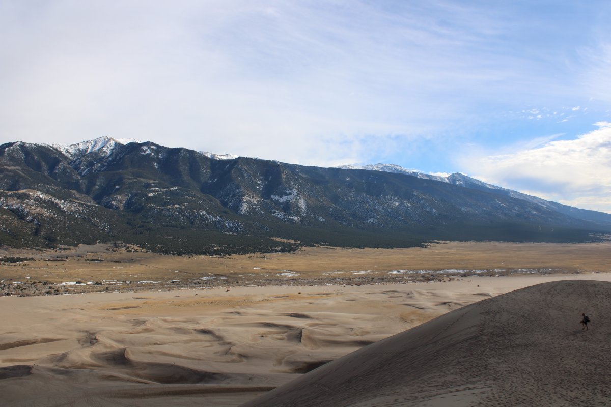
The Sangre de Cristo Range in the distance.
|
| |
 |
|
| P38 |
| |
 |
|
|
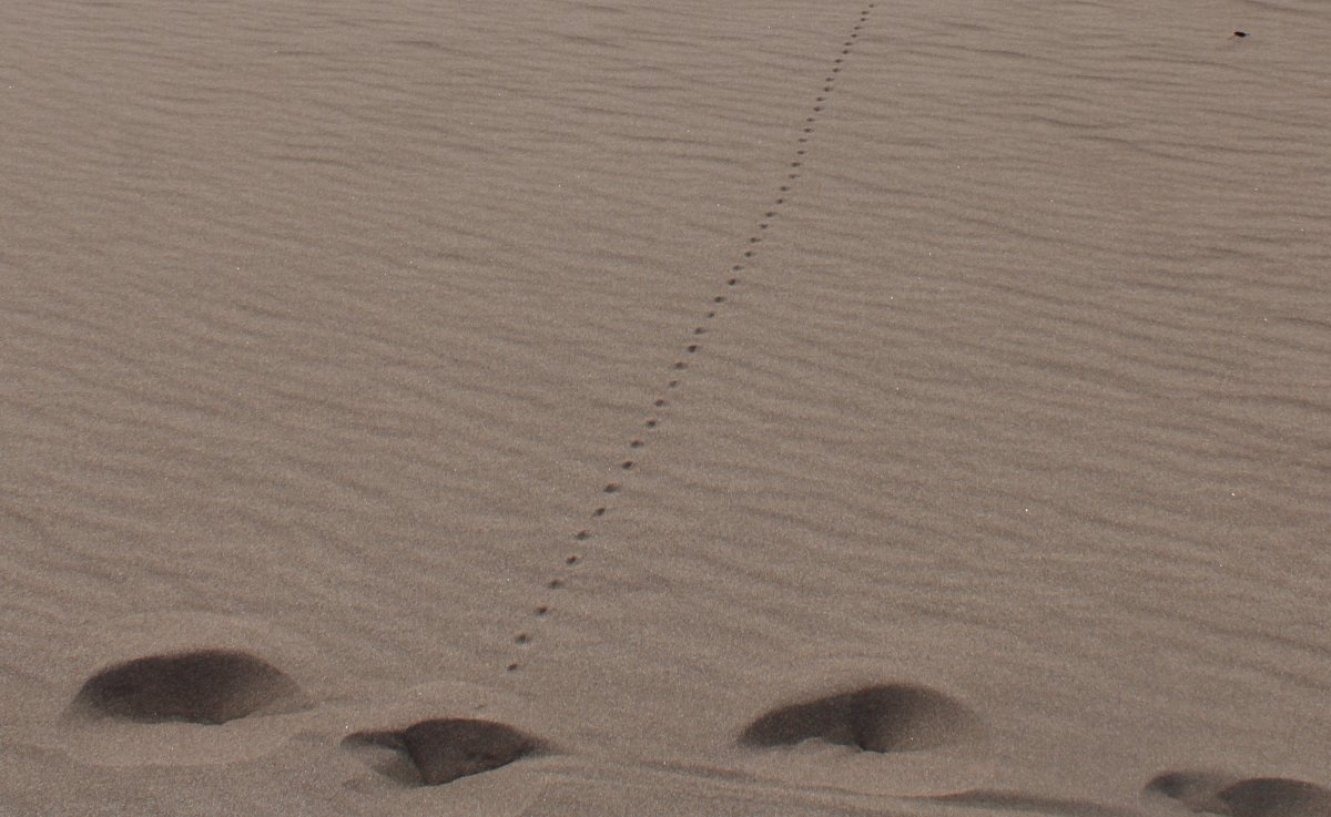
Coyote tracks?
|
| |
 |
|
| After catching my breath on the peak, I continued on since the going was only a slight incline and much easier. |
| |
 |
|
| |
| |
 |
|
| |
| |
 |
|
|
|
| |
 |
|
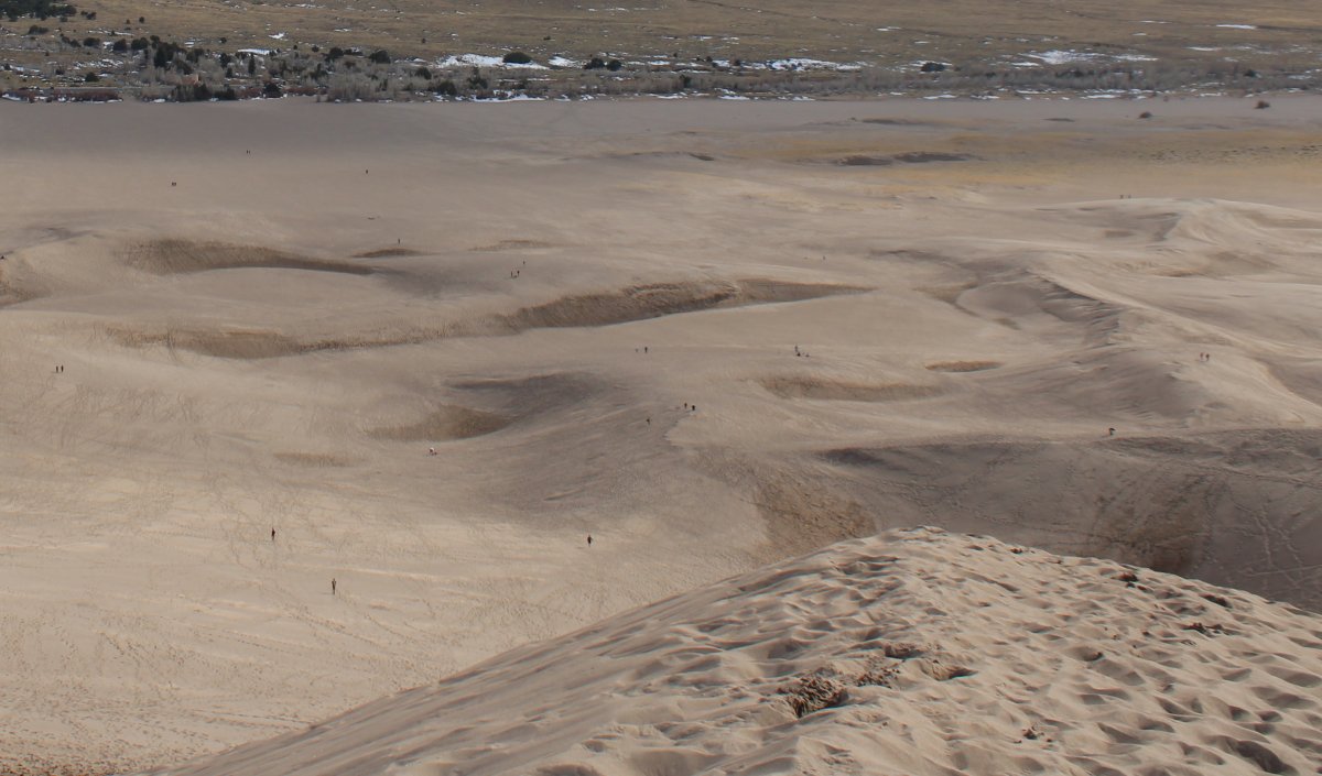
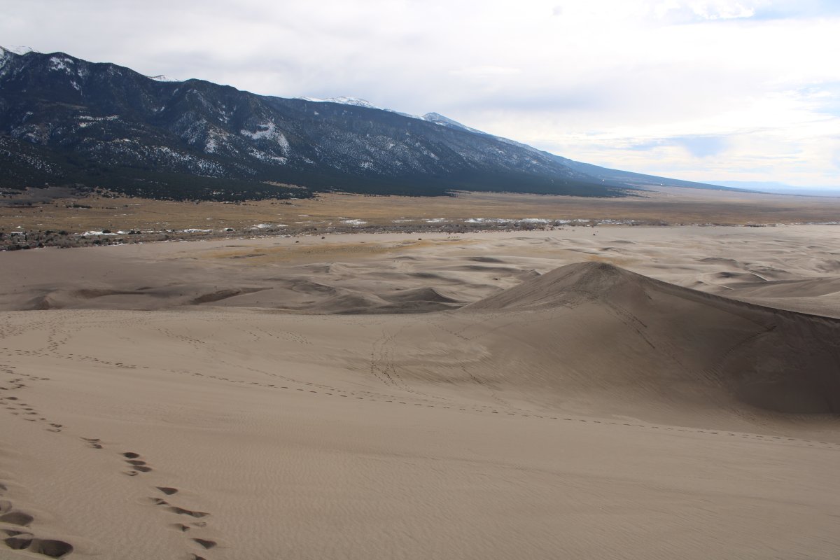
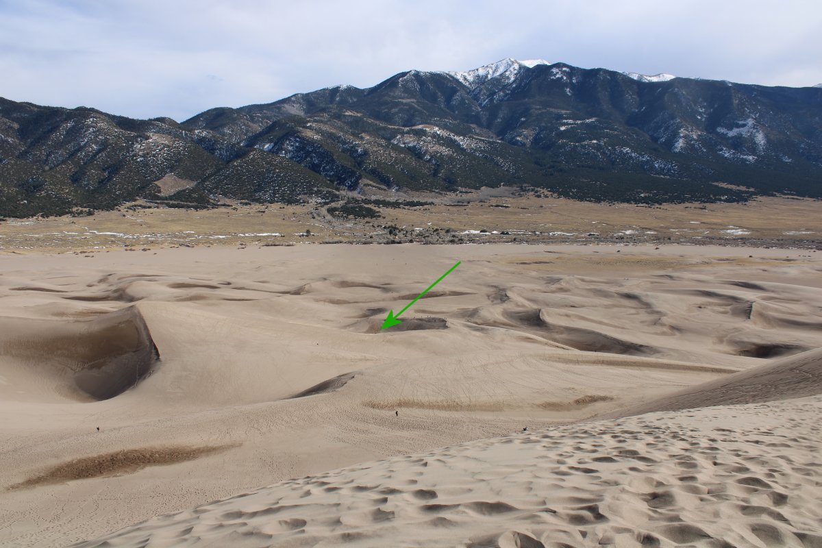
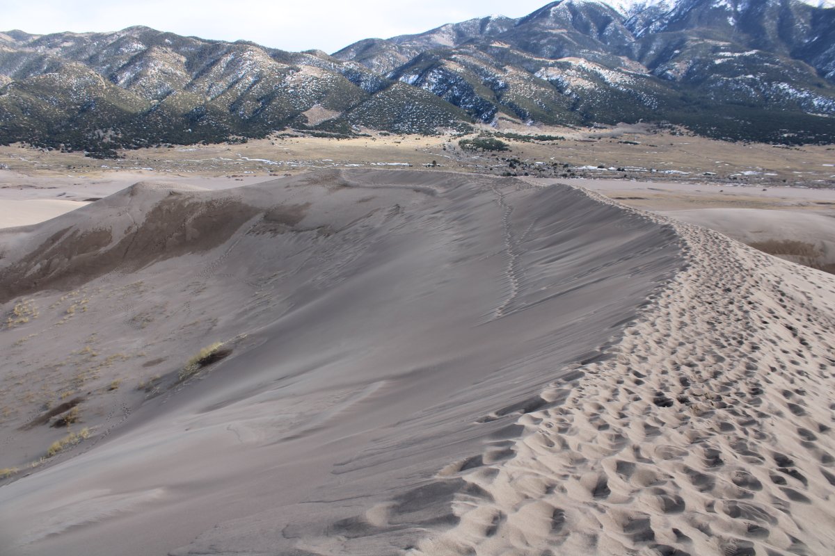
| Looking back the way I had come. The first peak is in the center of the picture. From the bottom, it had seemed pretty tall. Now it looks pretty small. |
| |
 |
|
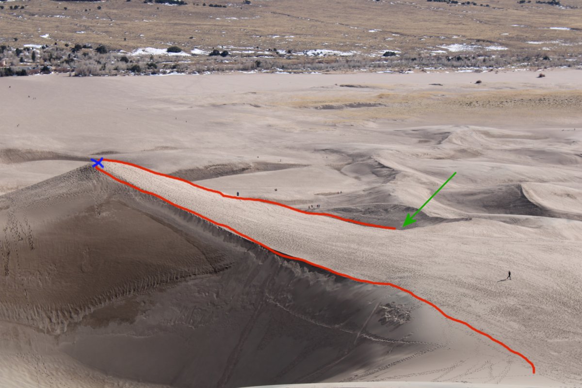
| The green arrow points to where Lynnette is waiting. The red line shows my path. The blue X is on top of the first peak. |
| |
 |
|
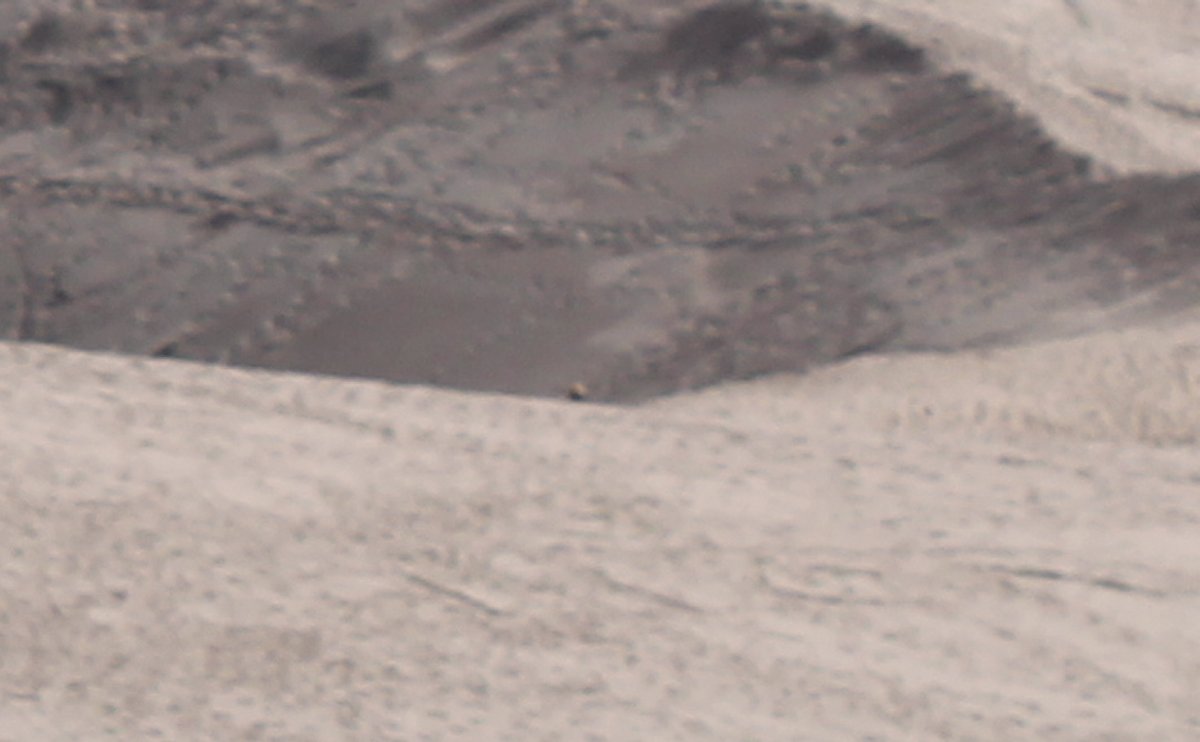
| Proof of life! |
| |
 |
|
| I continued going up. The going wasn't too hard, except in a couple of spots, but nothing like the climb to that first peak. Or maybe I had just gotten my second wind. |
| |
 |
|
|
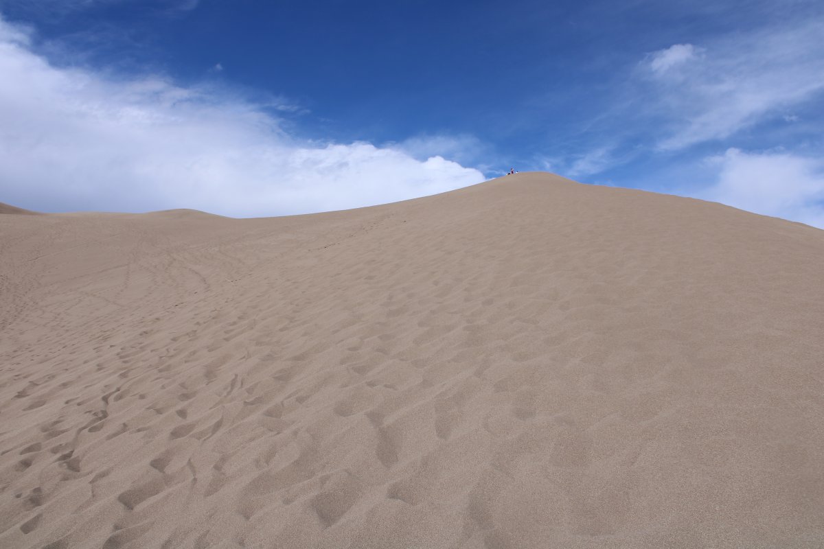
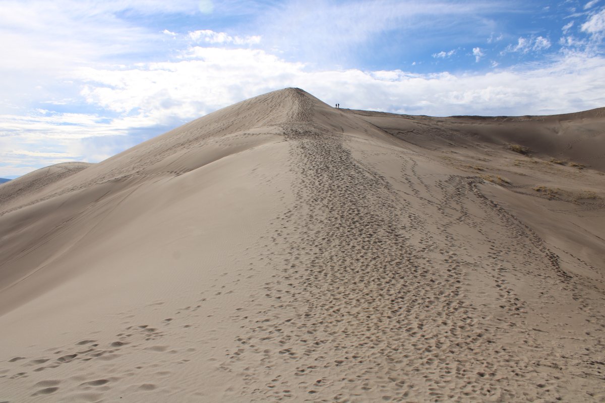
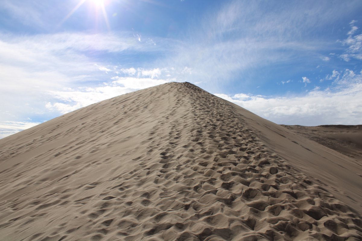
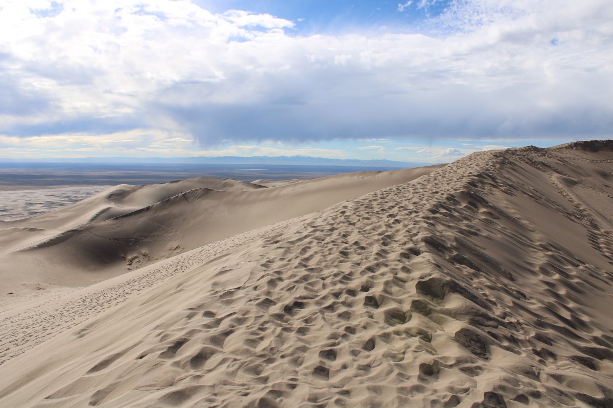
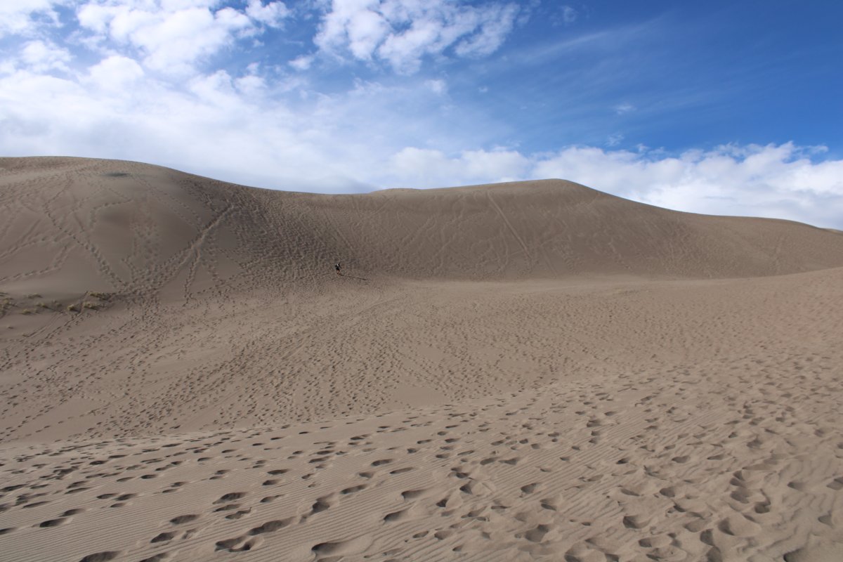
Almost to the top of the highest peak around.
|
| |
 |
|
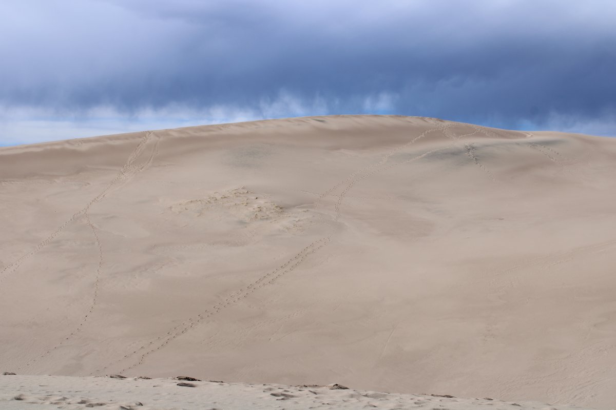
| Look how low the clouds are. |
| |
 |
|
|
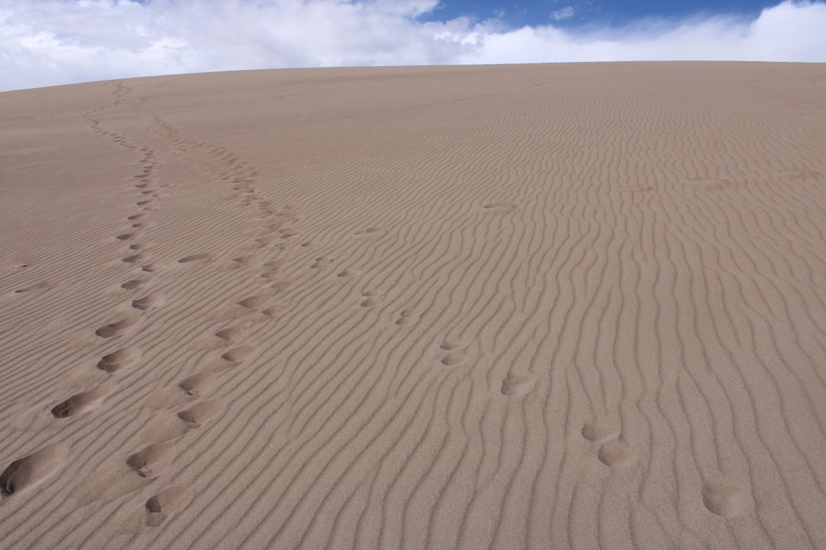
Another look back as I ascend.
|
| |
 |
|
| On a steep part of the dune. |
| |
 |
|
| Almost there! |
| |
 |
|
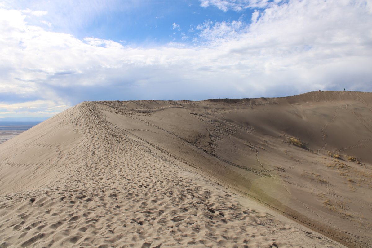
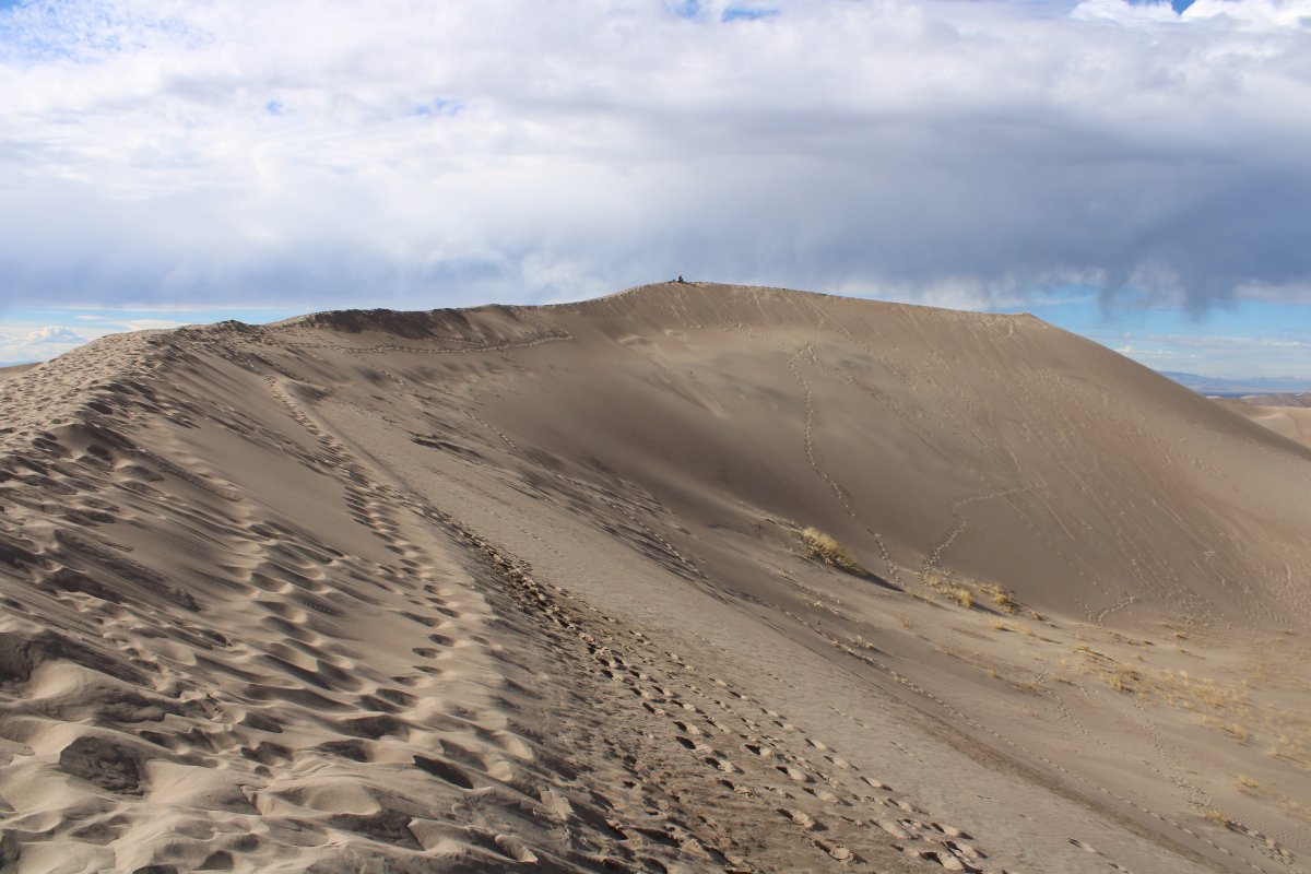
| But when I get to the top, I discover that I'm not quite to the top yet; there is a ridge that gradually ascends. Easy peasy to climb this one though. |
| |
 |
|
|
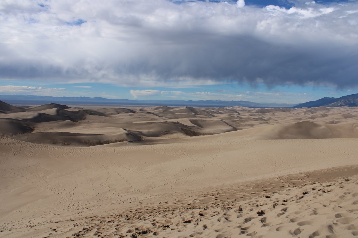
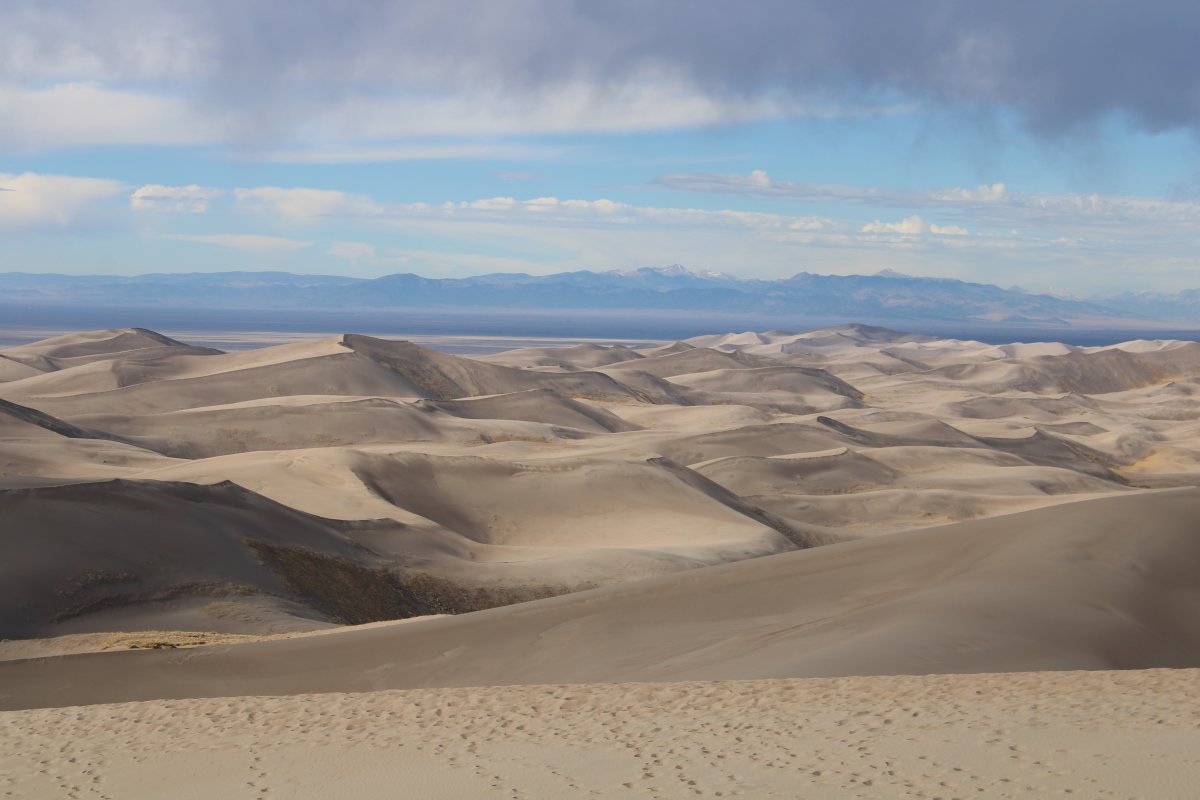
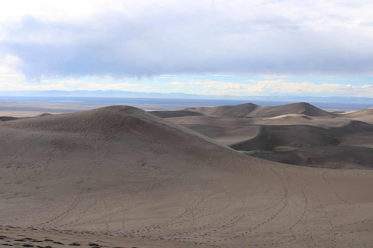
Looking north. These dunes are virgin sand -- no tourists go out this far.
|
| |
 |
|
| Another look back. Lynnette is just barely visible in the distance. |
| |
 |
|
| Walking along the high ridge. |
| |
 |
|
|
The end is definately in sight.
|
| |
 |
|
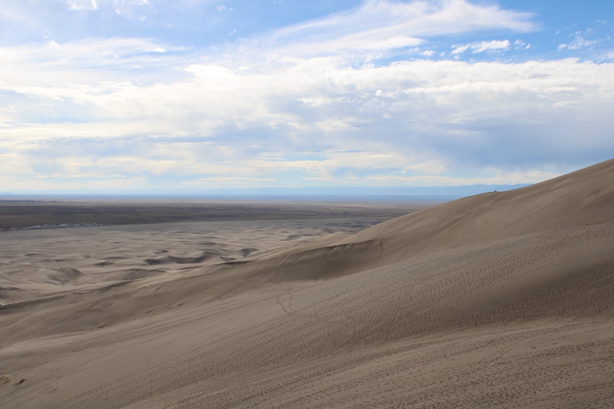
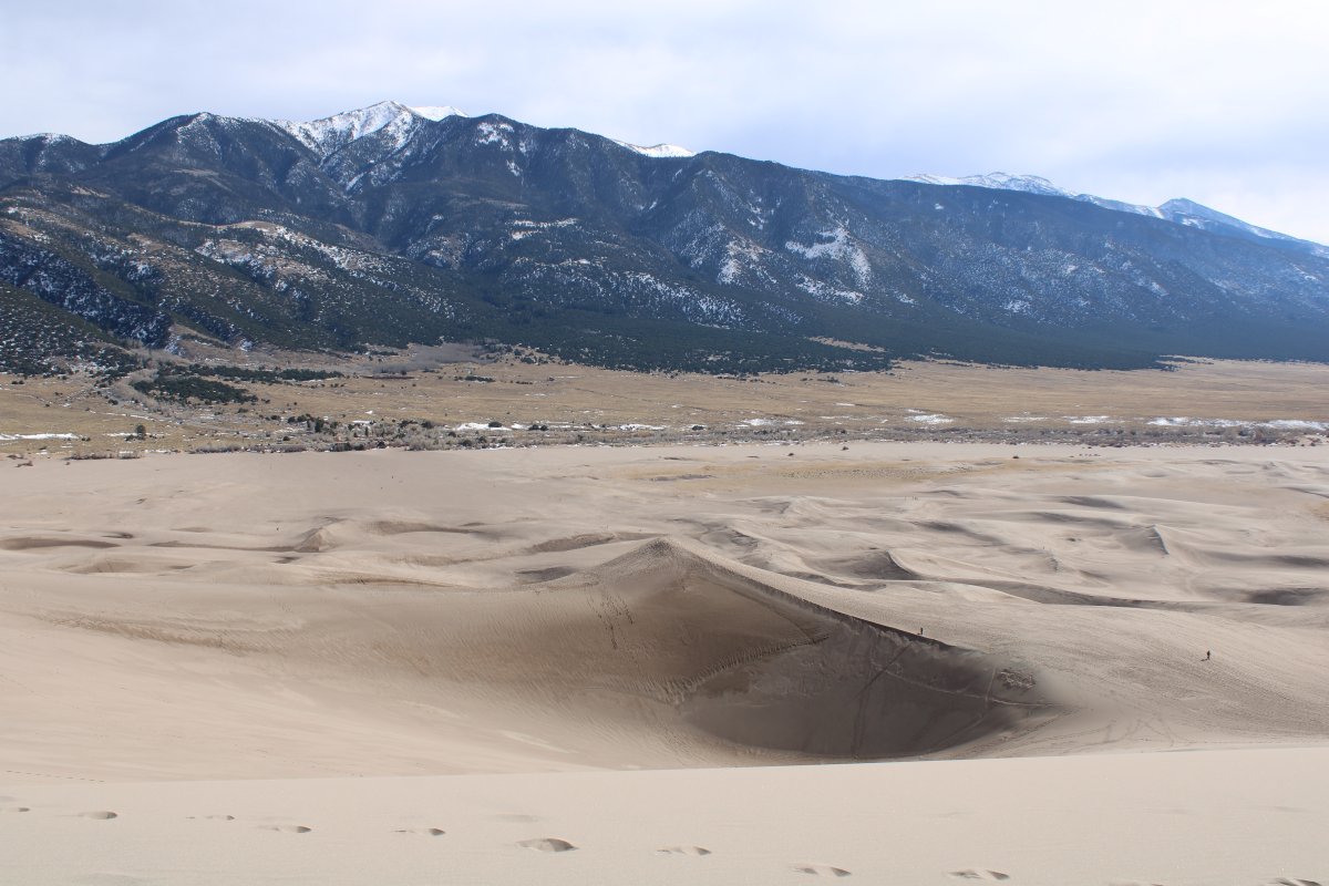
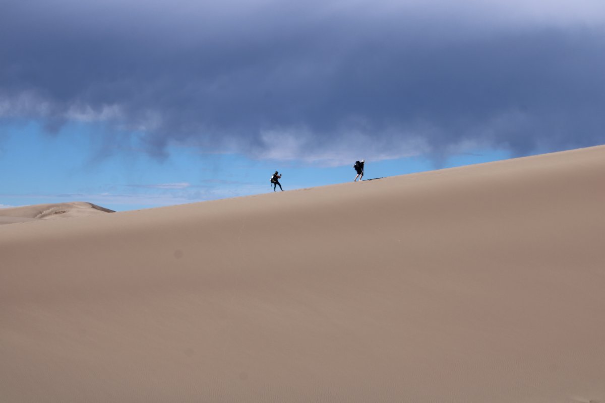
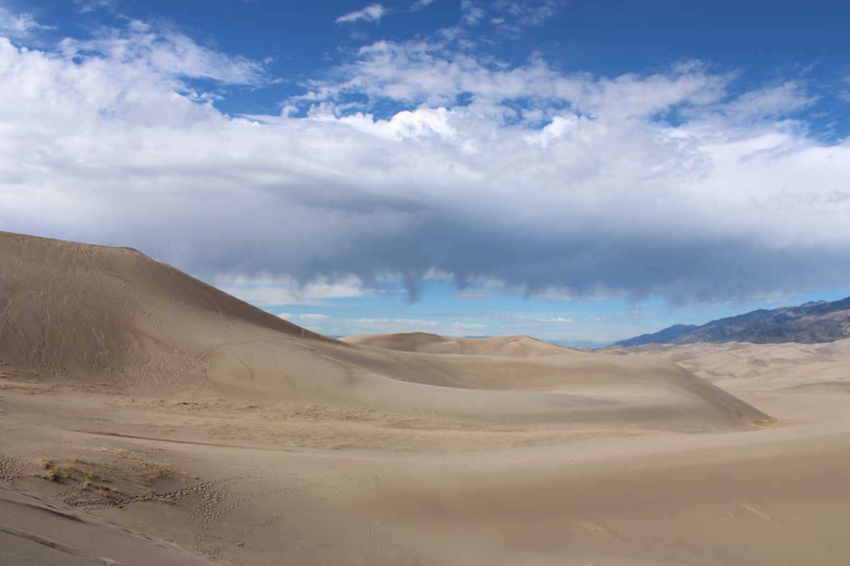
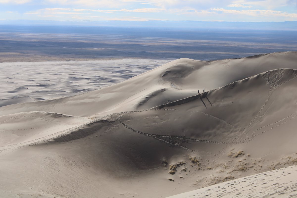
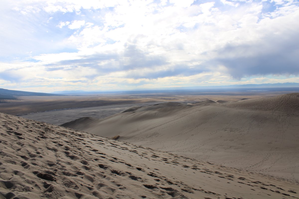
| A couple heading down along a ridge. In this picture, you can see where the sand dunes end and the San Luis Valley desert takes over. |
| |
 |
|
|
I made it! This is as high as I can go on this dune. If it isn't the highest one in the park, it's on the short list. Here I'm looking north over the entire Great Sand Dunes NP.
|
| |
 |
|
| Looking northeast. |
| |
 |
|
|
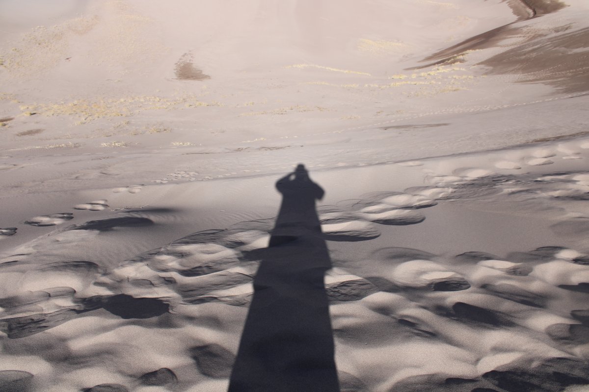
Obligatory shadow shot.
|
| |
 |
|
|
Looking south.
|
| |
 |
|
| Looking southeast. |
| |
 |
|
|
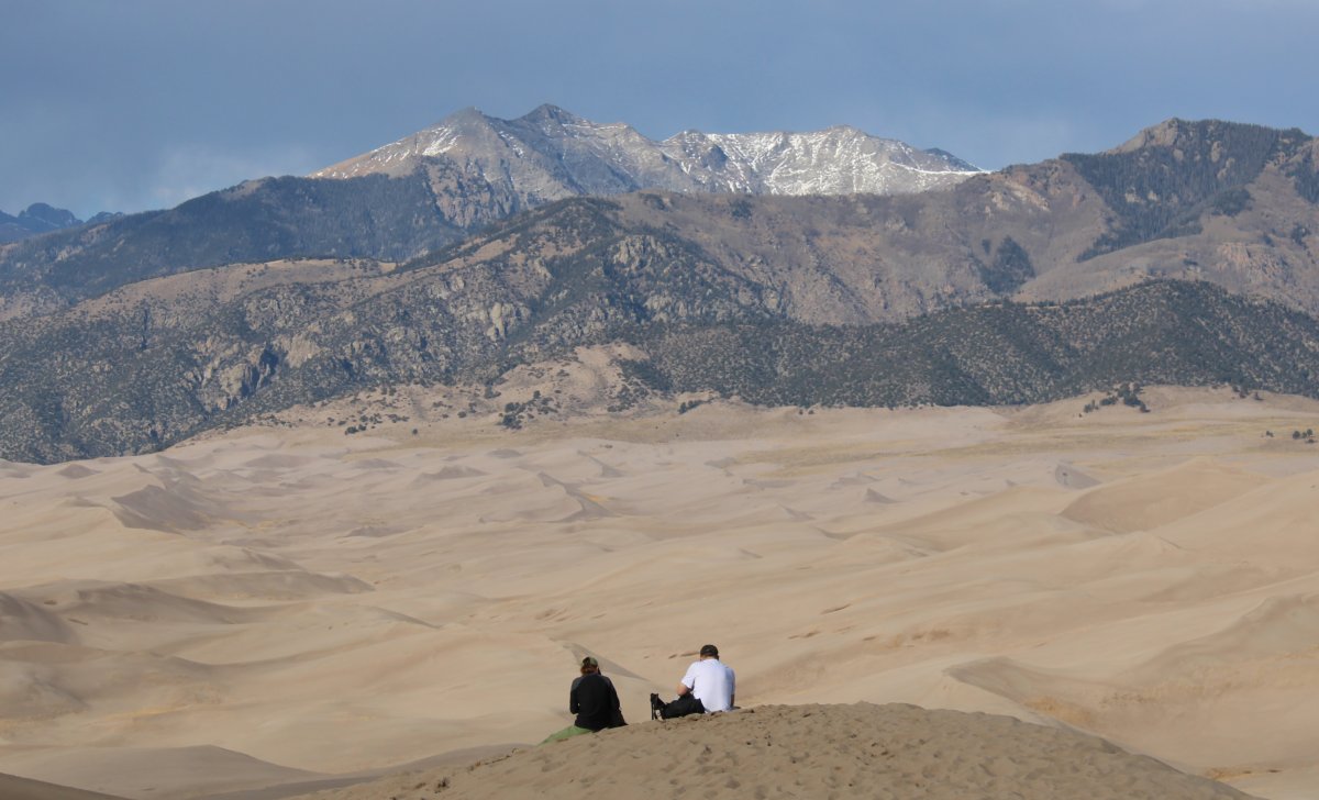
A couple enjoying the view at the top.
|
| |
 |
|
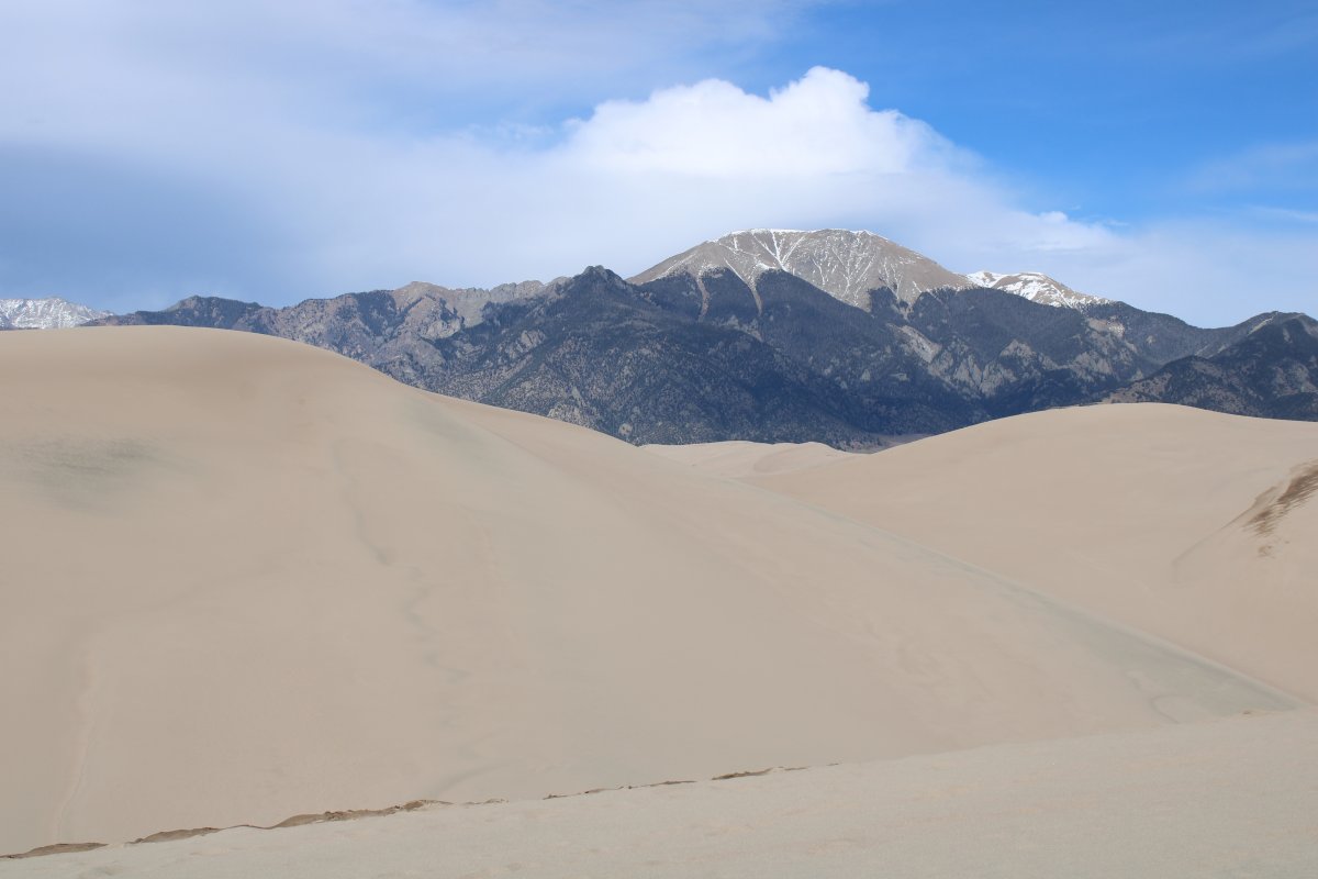
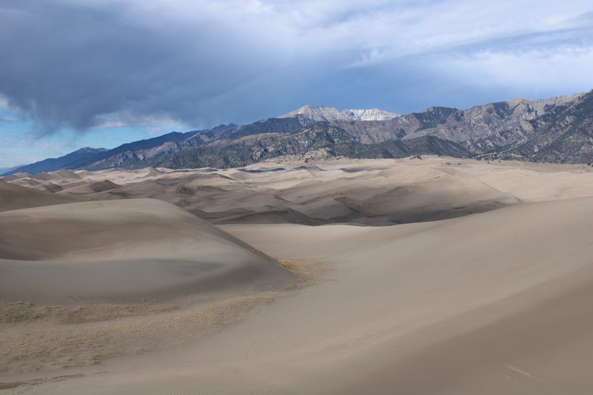
| Looking west at the sea of dunes. |
| |
 |
|
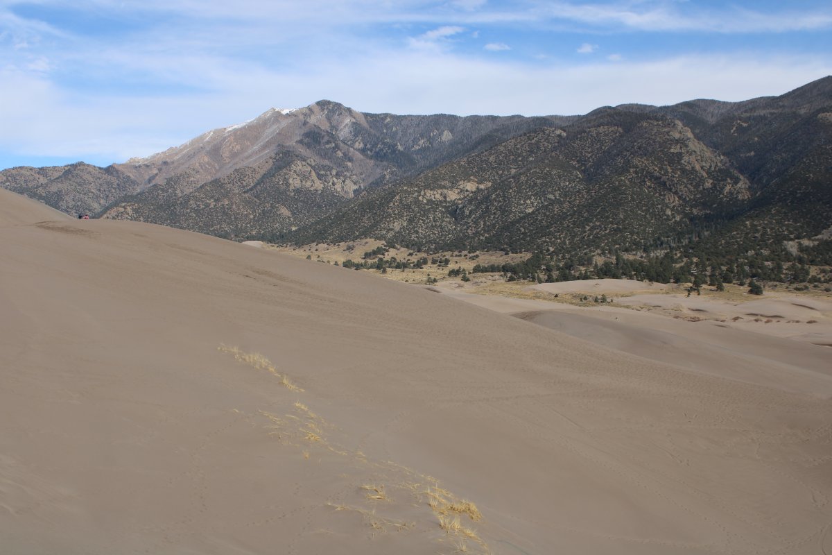
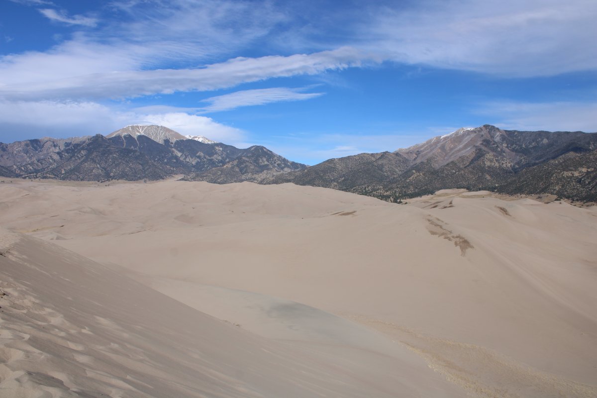
| Good shot of the Sangre de Cristo Range. |
| |
 |
|
|
High plains meet sand.
|
| |
 |
|
| I started to head back. I talked briefly with the guy ahead who was trying to surf down the steep dune. |
| |
 |
|
|
|
| |
 |
|
| |
| |
 |
|
| |
| |
 |
|
| |
| |
 |
|
| It was much easier and quicker coming down than it was going up. |
| |
 |
|
|
I honestly did not think I would make it to the top of the highest dune, but was happy I did. What a view!
I really enjoyed the Great Sand Dunes National Park. I highly recommend visiting it; just make sure you are in shape.
|
| |
 |
|
|
|
| |
 |
|
| We left the Park and headed south on highway 285 through the high plains. Our destination was Taos, New Mexico. |
| |
 |
|
|
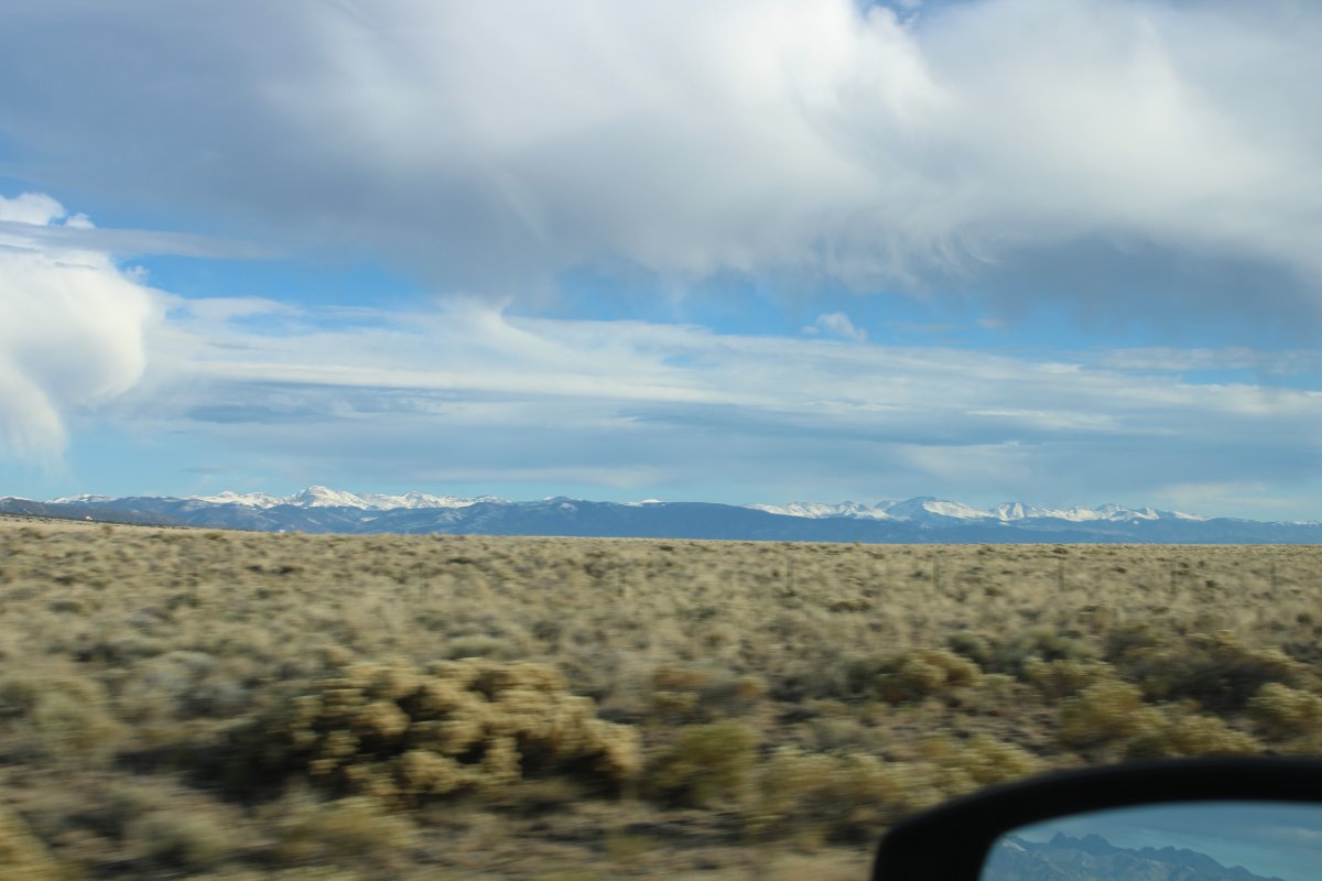
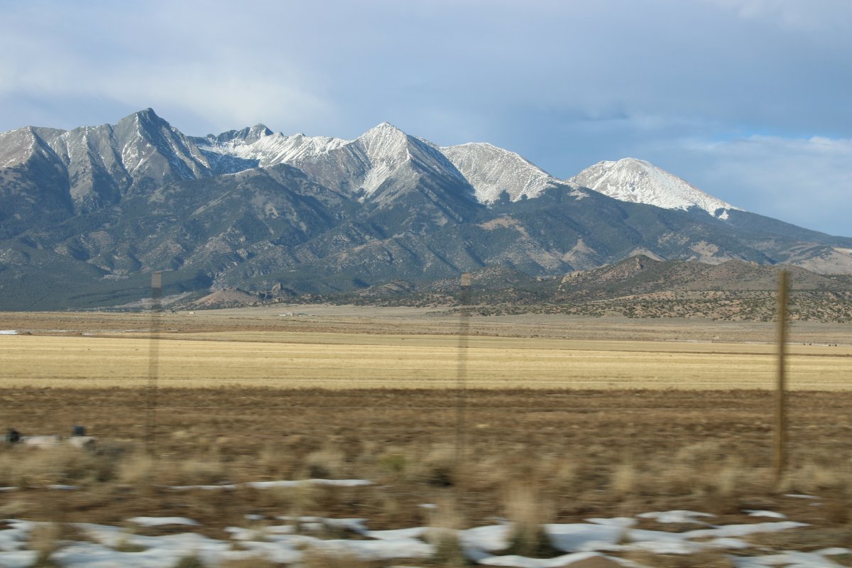
The Sangre de Cristo Range paralleled us to the east.
|
| |
 |
|
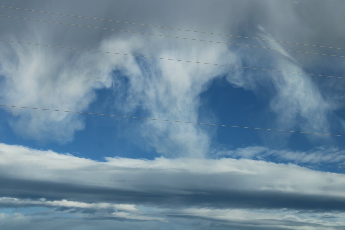
| Some interesting cloud formations. |
| |
 |
|
|
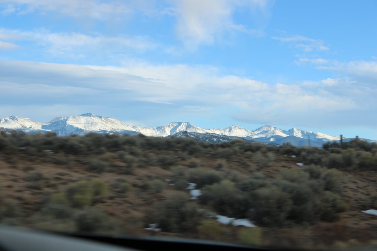
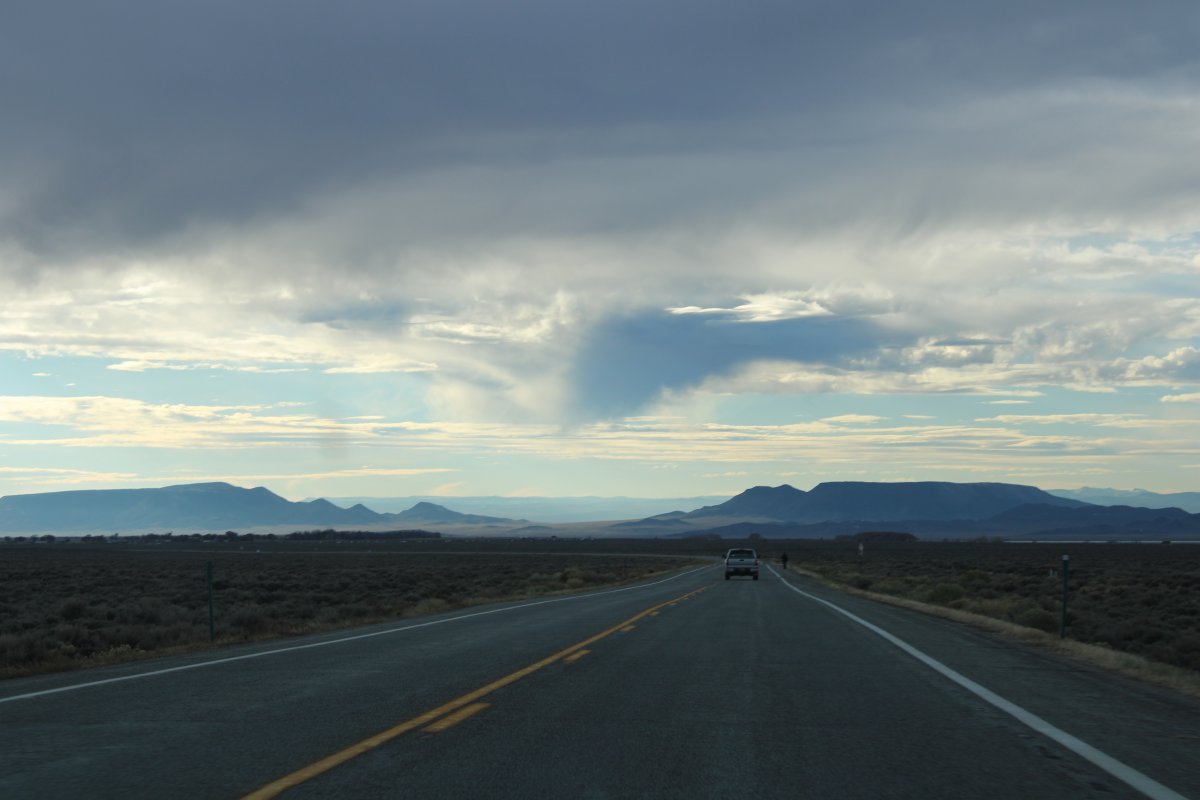
There wasn't a lot of civilization on this route.
|
| |
 |
|
| Heading south into New Mexico. We arrived in Taos just after dark. |
| |
 |
|
| |
| |
|
|
|
|
|
|