November 1, 2020 - Aspen, Independence Pass
The drive on I-70 from Eagle to the turnoff for Aspen at Glenwood Springs was simply spectacular. Alas, no pictures.
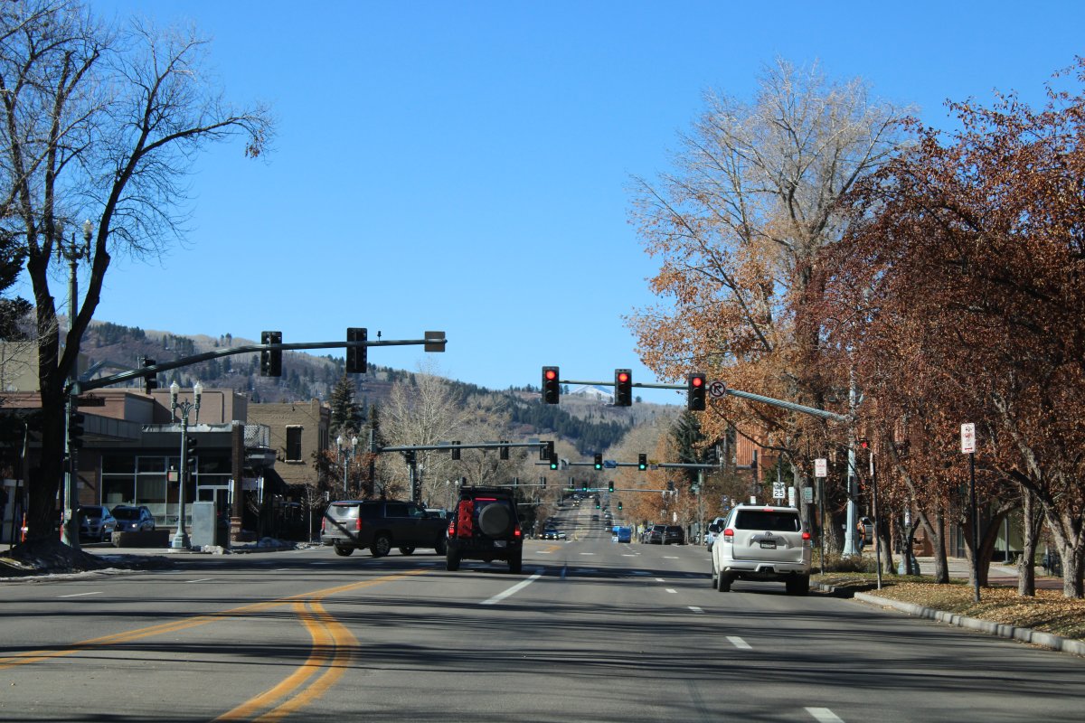
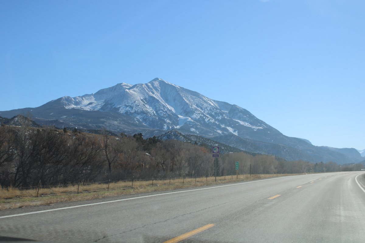
At Glenwood Springs, we turned southeast on Highway 82 and drove the 30 miles or so to Aspen. Aspen is another ski resort city like Vail.
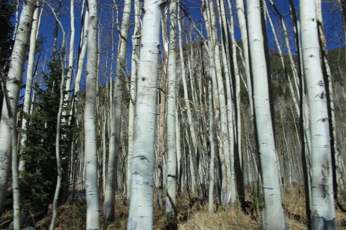
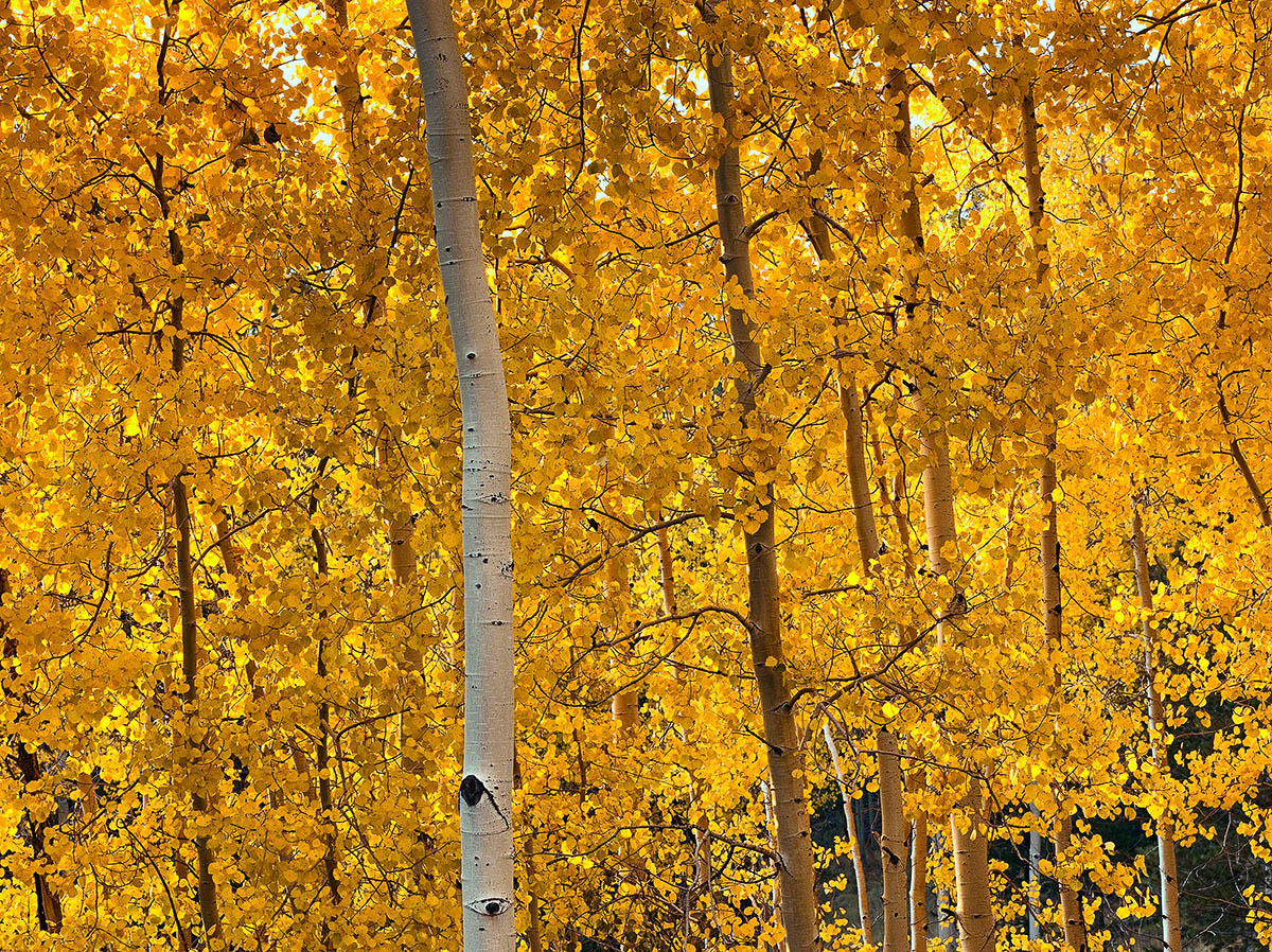
Founded as a mining camp during the Colorado Silver Boom and later named Aspen for the abundance of aspen trees in the area, the city boomed during the 1880s, its first decade. The boom ended when the Panic of 1893 led to a collapse of the silver market. For the next half-century, known as "the quiet years", the population steadily declined, reaching a nadir of fewer than 1000 by 1930. Aspen's fortunes recovered in the mid-20th century when neighboring Aspen Mountain was developed into a ski resort. Industrialist Walter Paepcke bought many properties in the city in the 1950s and redeveloped them. Today it is home to three institutions, two of which Paepcke helped found, that have international importance: the Aspen Music Festival and School, the Aspen Institute, and the Aspen Center for Physics.
Aspen remains popular as a year-round destination for locals, second-home buyers and tourists. Outdoor recreation in the surrounding White River National Forest serves as a summertime counterpart to the city's four ski areas. Demand for real estate has made Aspen one of the most expensive places in the country to buy a home.
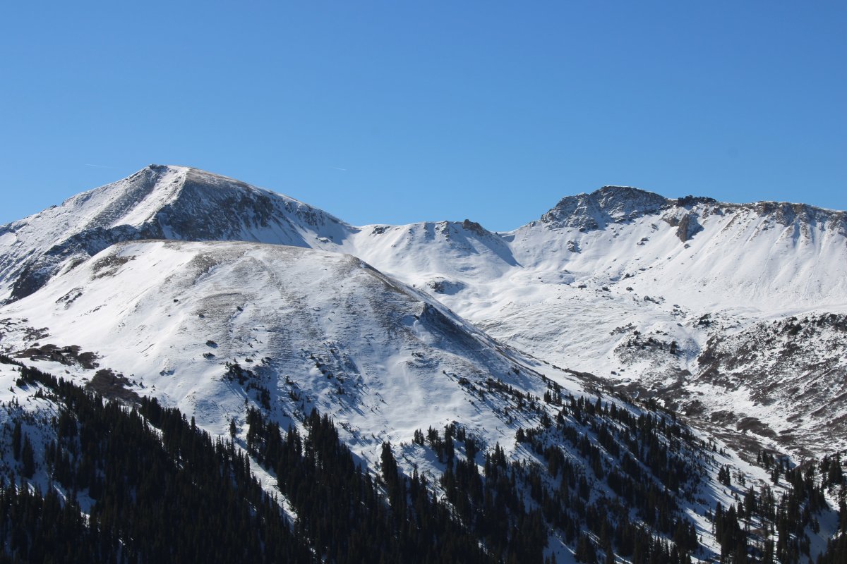
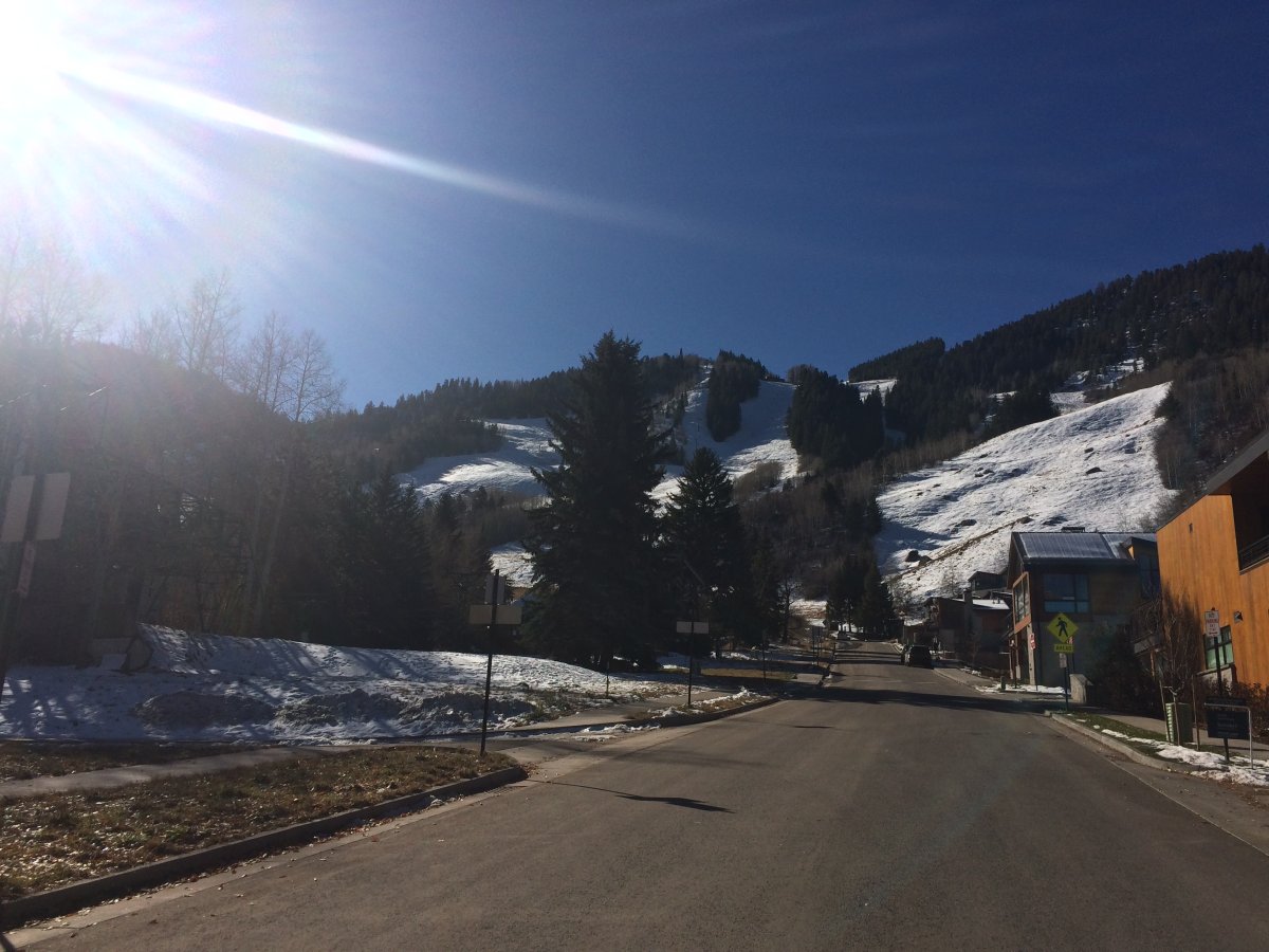
Here are a part of the Aspen Mountain Ski Resort -- founded in 1946 by the aforementioned Walter Paepcke -- which is right on the edge of town.
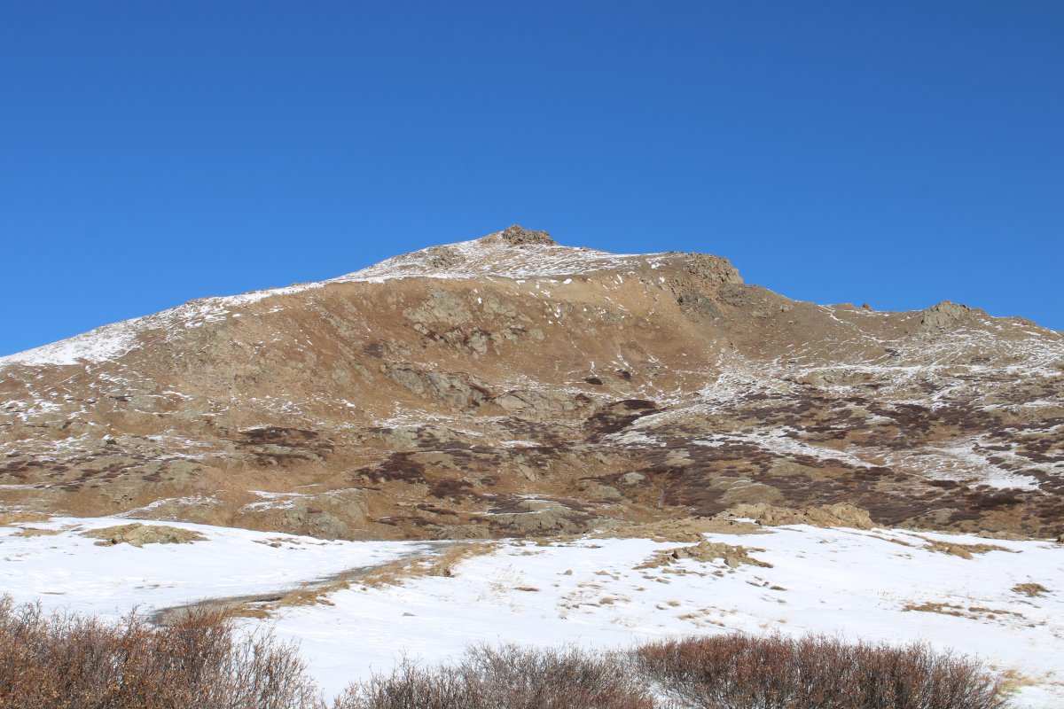
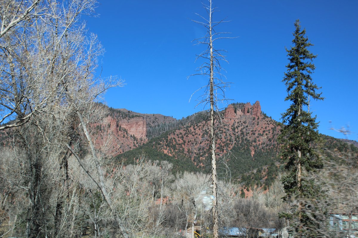
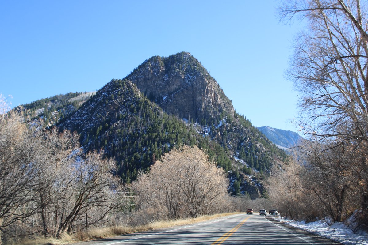
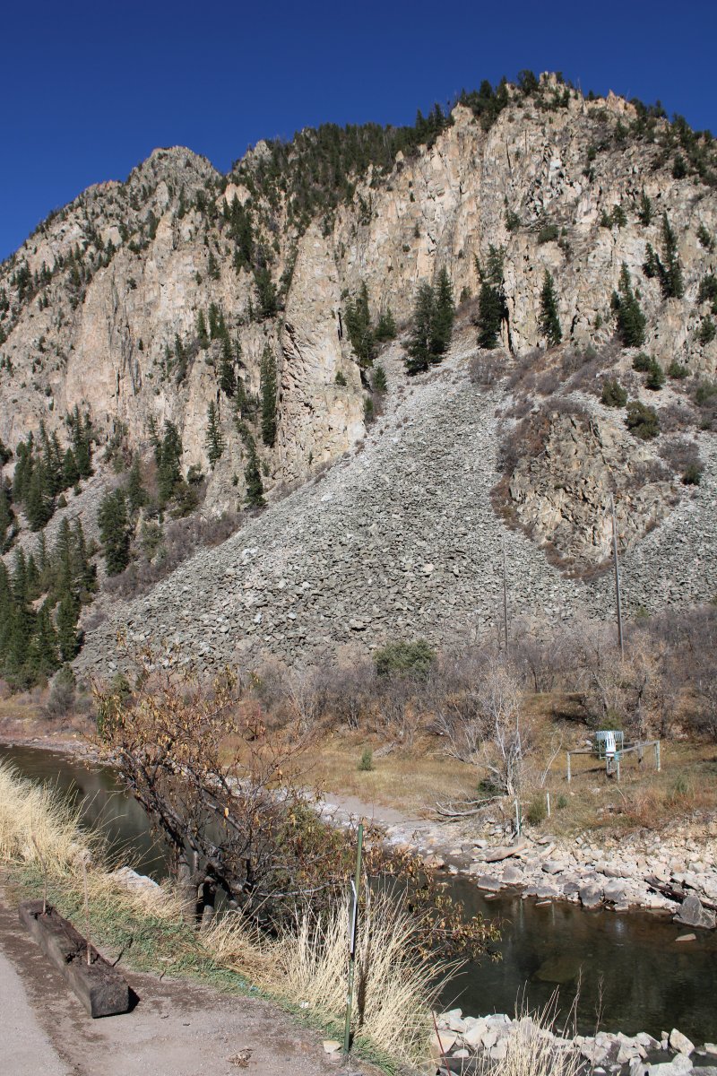
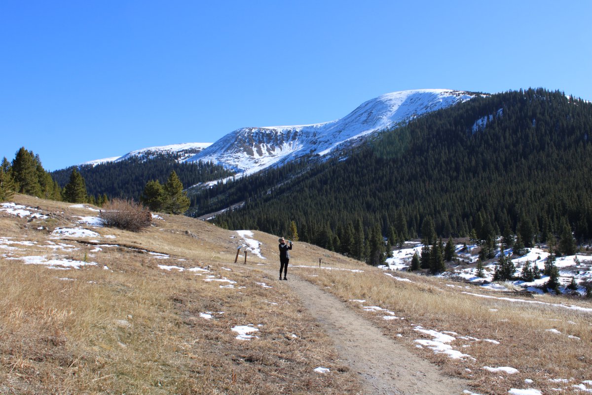
After Aspen, we continued on Highway 82 to see the Independence Ghost Town. It was a little farther than we thought but we ended up very glad we made the drive
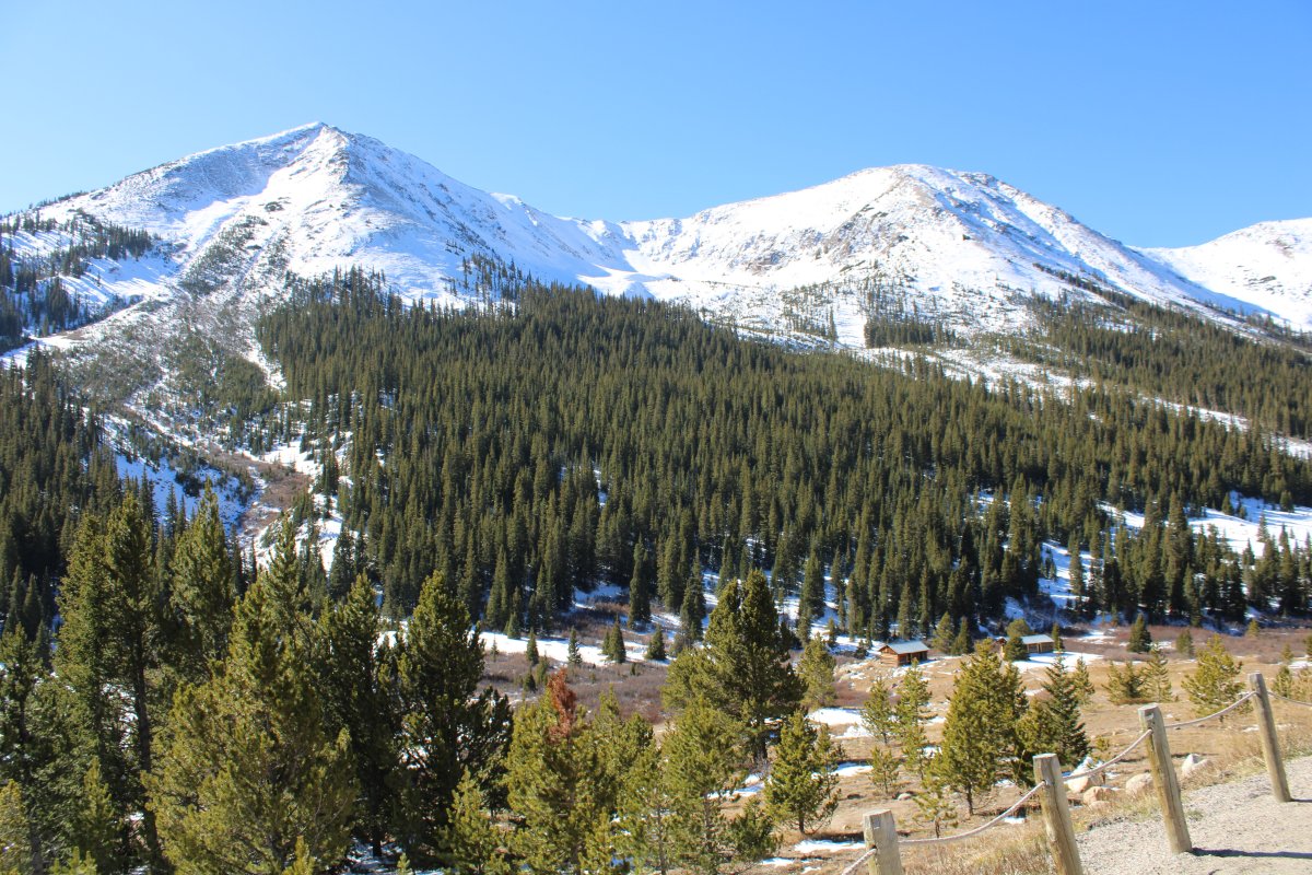
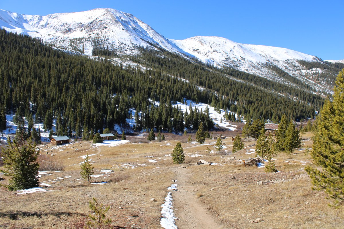
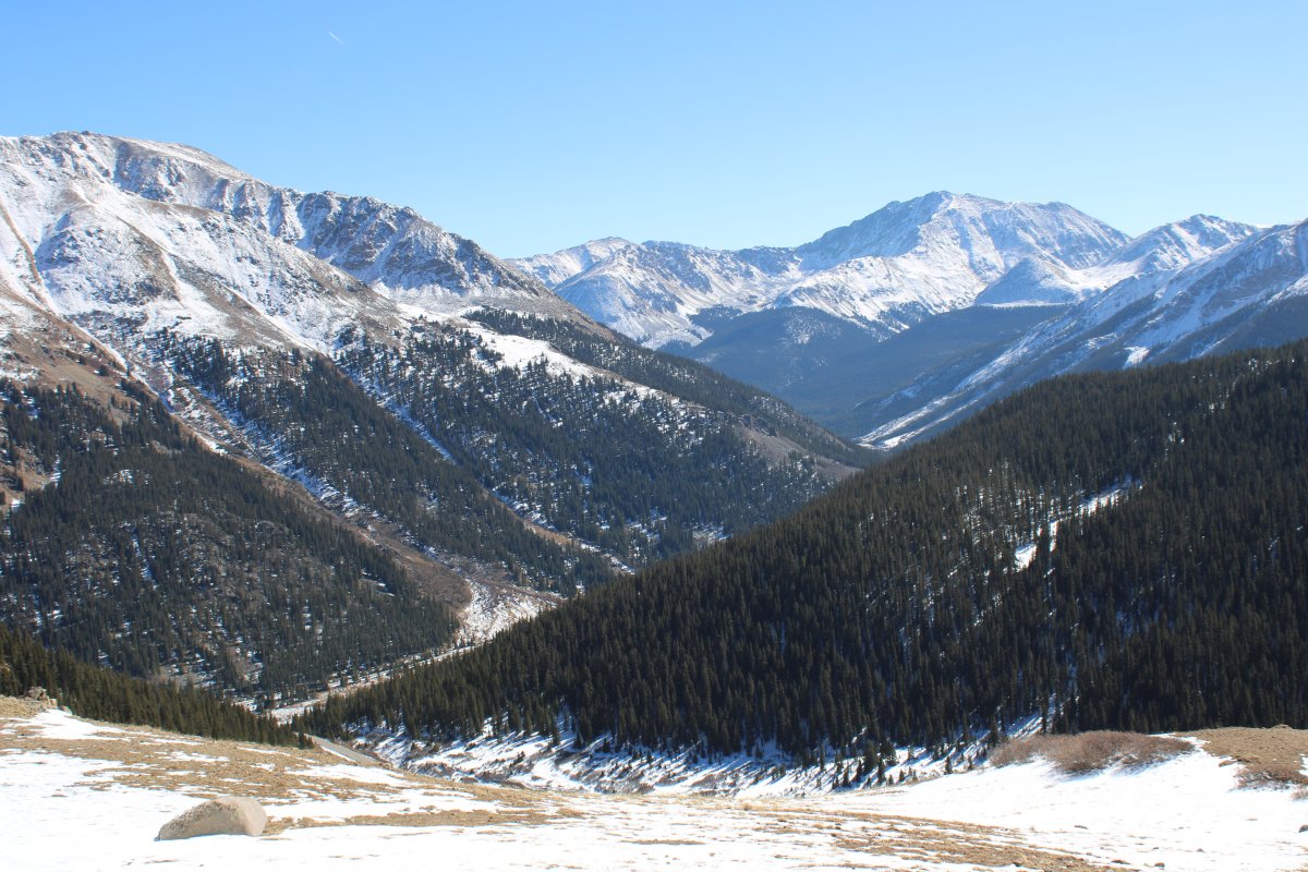
Independence is down in the valley there on the left, next to the Roaring Fork River.
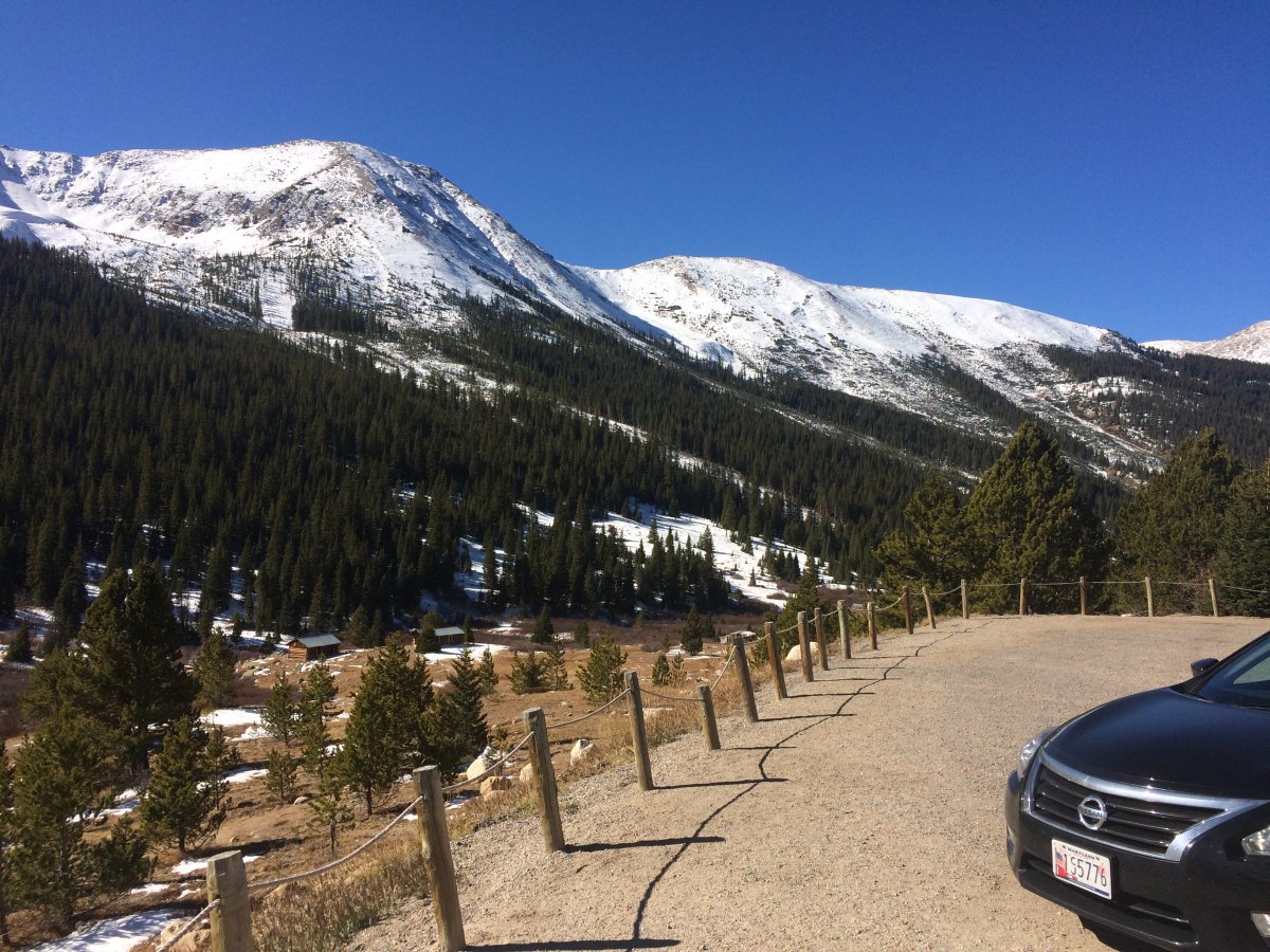
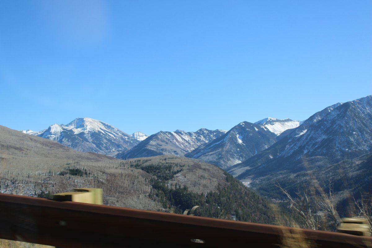
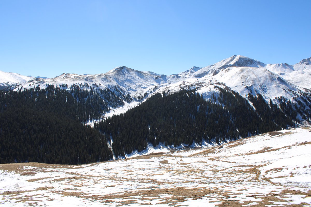
Two good-size, show-covered mountains overlook Independence.
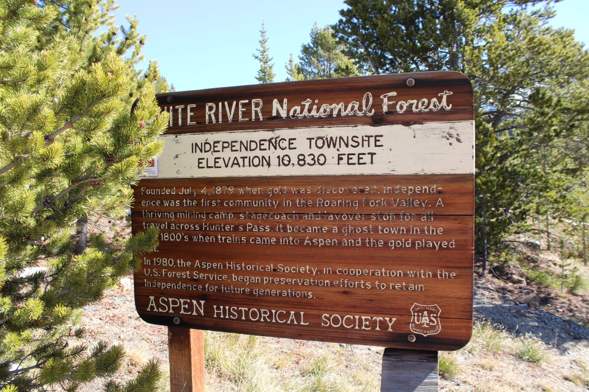
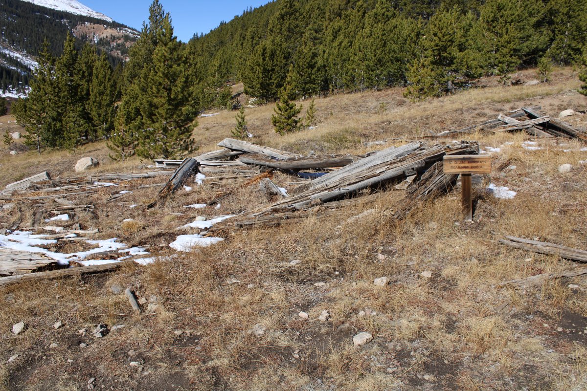
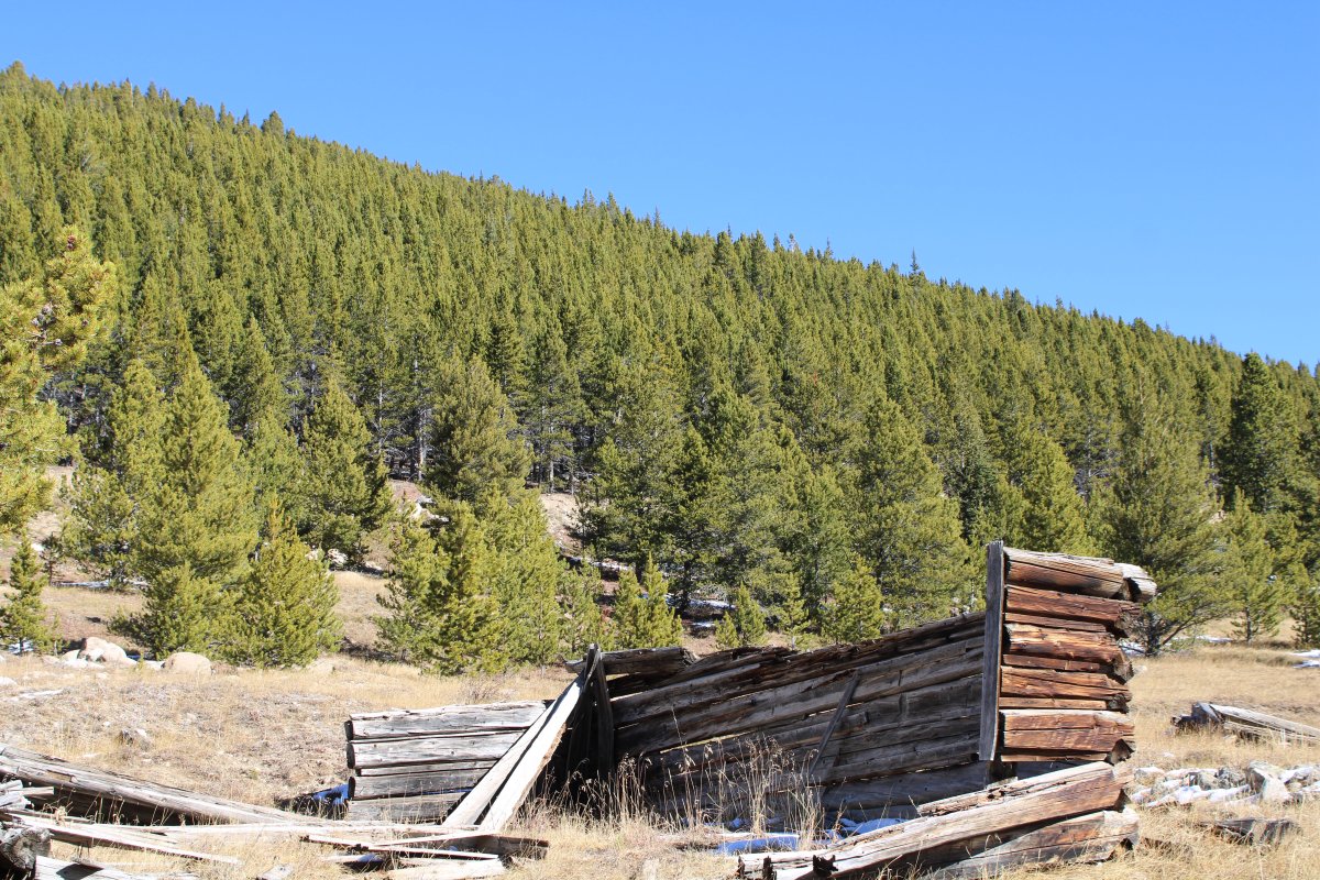
Gold was discovered here on July 4, 1879. A tent city sprang up named after the Independence Gold Lode. By the summer of 1880 there were 300 people in camp. One of the mines processed nearly $100,000 worth of gold the first year of operation. By 1882, Independence had over 40 businesses. But the boom was over as quickly as it had occurred. The gold lode proved to be only shallow veins that were exhausted in a few years. Over $190,000 was processed in 1881 and 1882 but not much after that. By 1888, less than 100 people remained. The end came in the winger of 1889 which saw the worst storm in Colorado's recorded history. The supply route to Independence was cut off. The remaining citizens used long wood planks as skiis to make it down to Aspen, never to return.
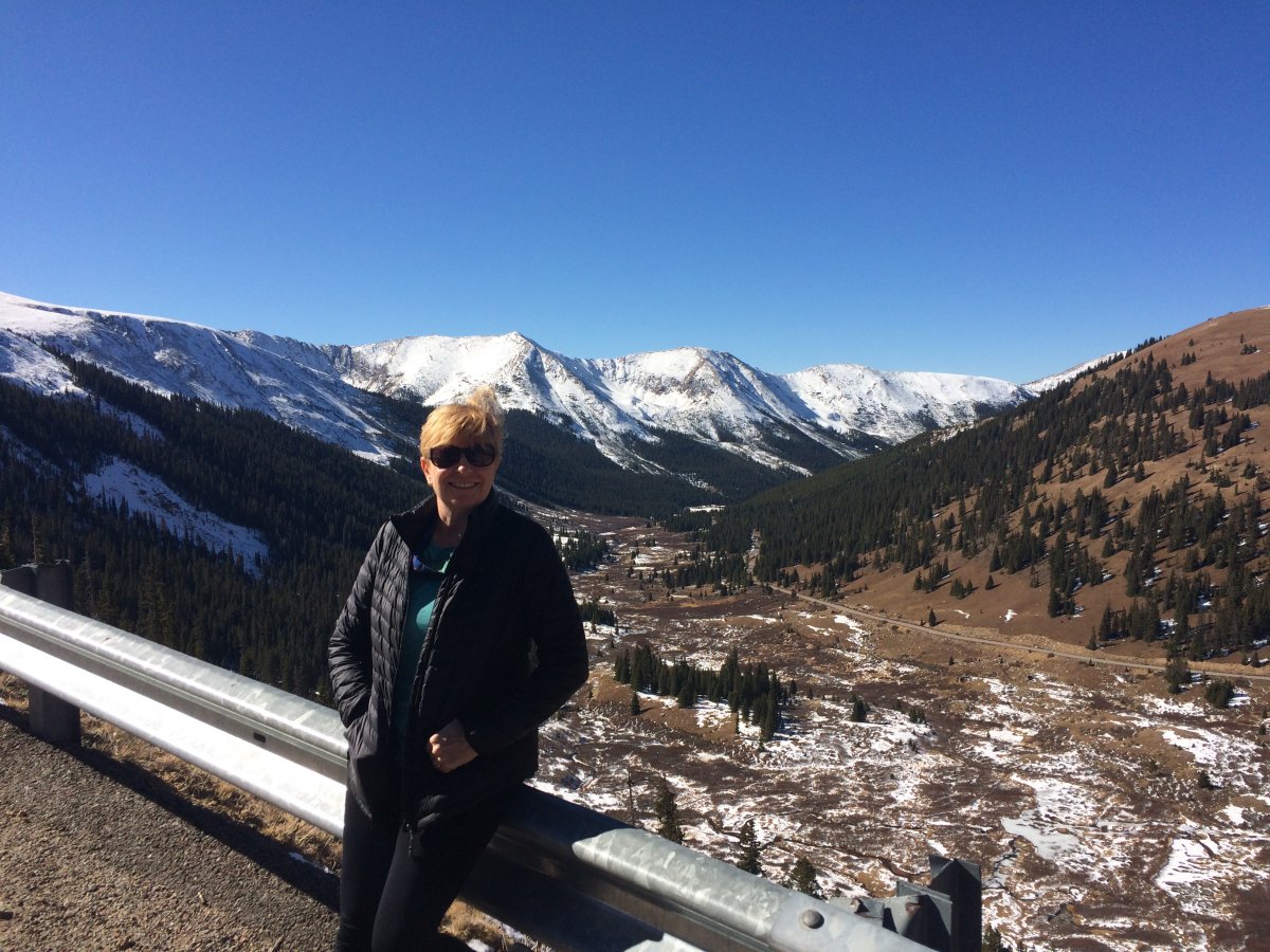
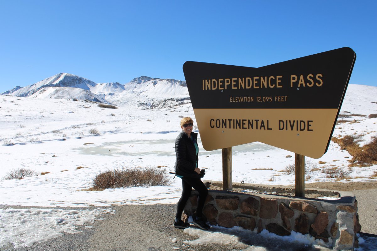
Notice the town elevation: 10,830 feet!

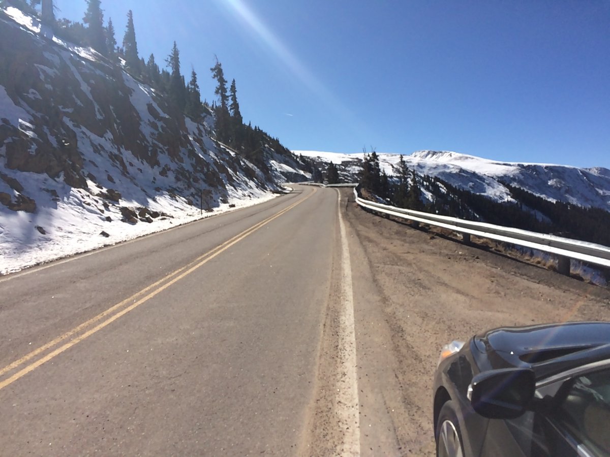
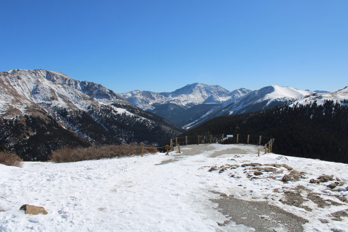
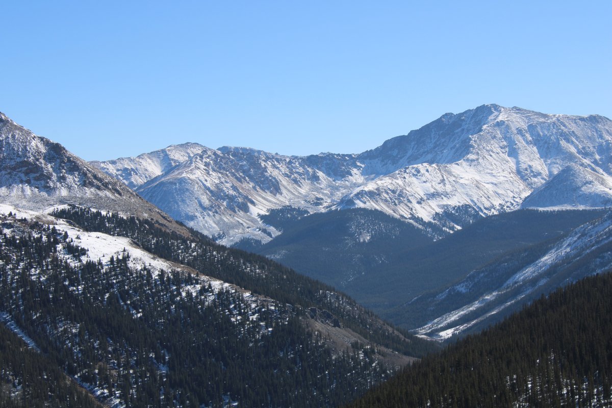
Looking east. Highway 82 continues east to Twin Lakes at left.
Originally, travel over the pass was on foot paths worn by Native Americans, prospectors and pack animals. The first records of travel over Independence Pass come from 1879 when prospectors found gold near the Independence Ghost Town. Mining fueled the development of a toll road over the pass. The original road over the Pass featured long stretches of "corduroy" where logs were laid down to counter the effects of water, mud and soft soils. When the ore played out the road fell into disrepair until the State of Colorado designated State Highway 82 over the pass in the 1920s and rebuilt the road on its current alignment.