October 16, 2020 - Fort Necessity
Today was the day. The beginning of the seven week road trip to Tucson and back. I call it "The Road To Tucson". We headed west on I-70 which turns into I-68 at Hancock, Maryland. Our destination for tonight was Charleston, West Virginia.
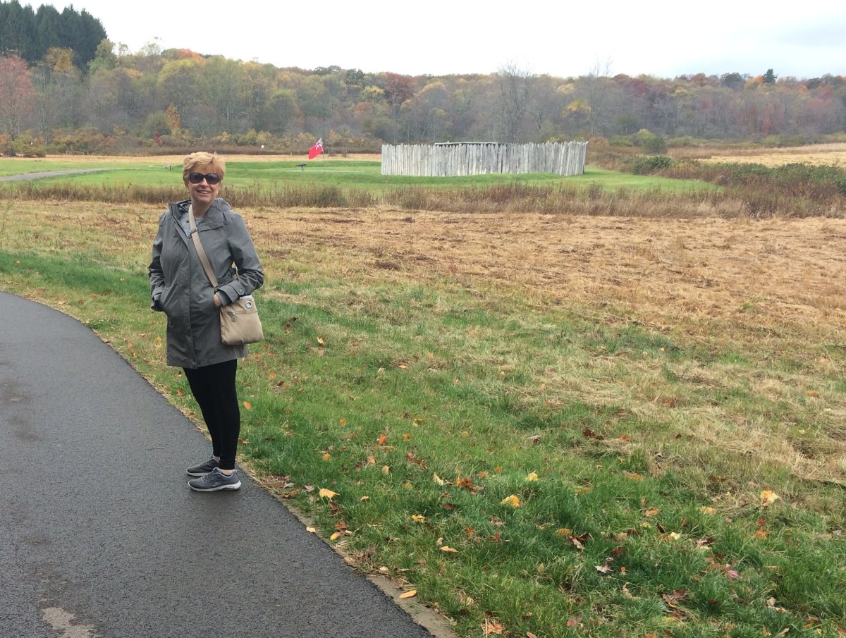
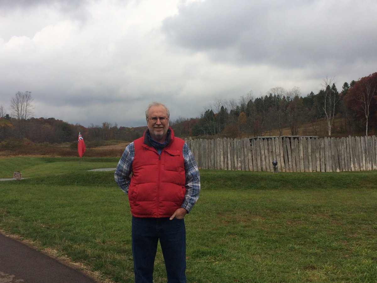
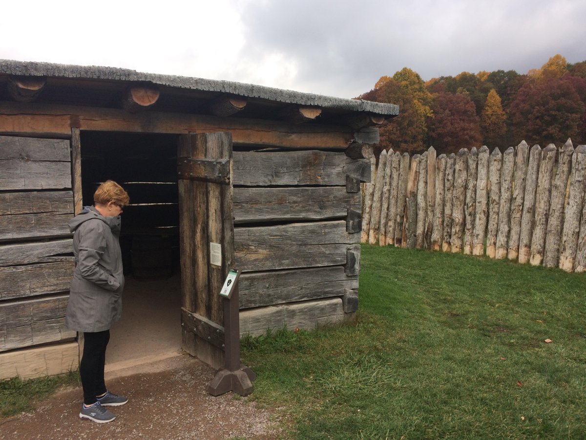
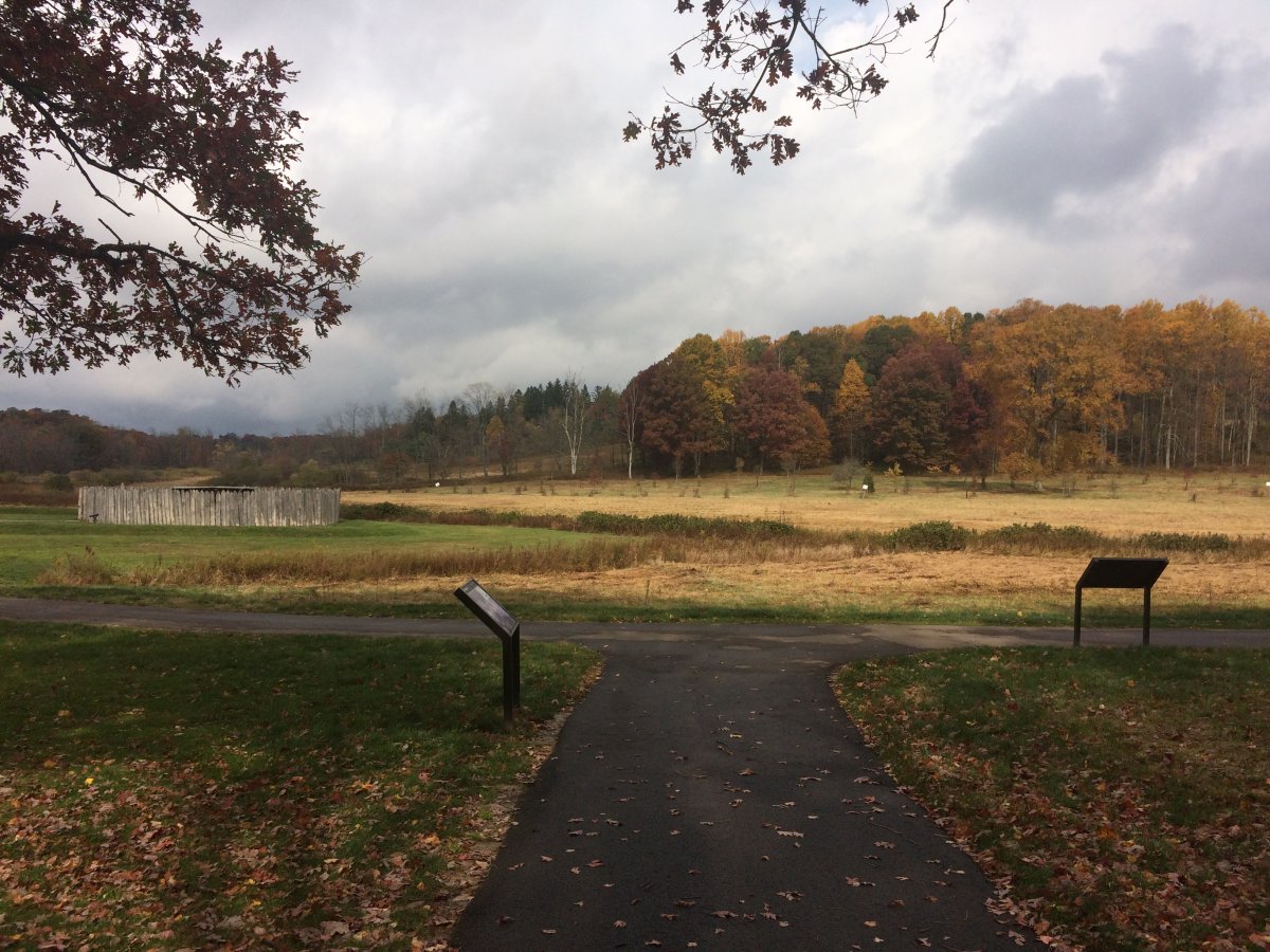
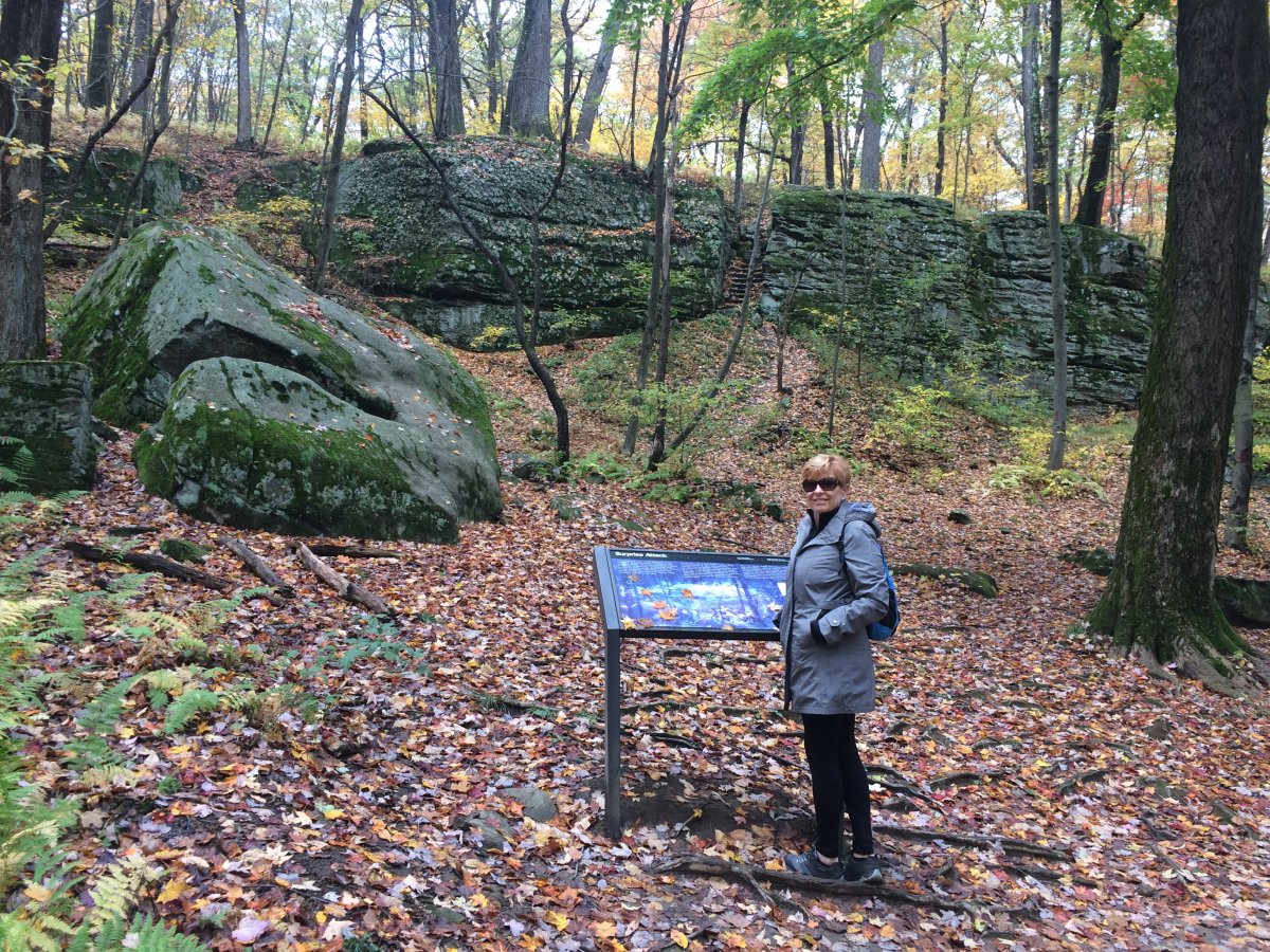
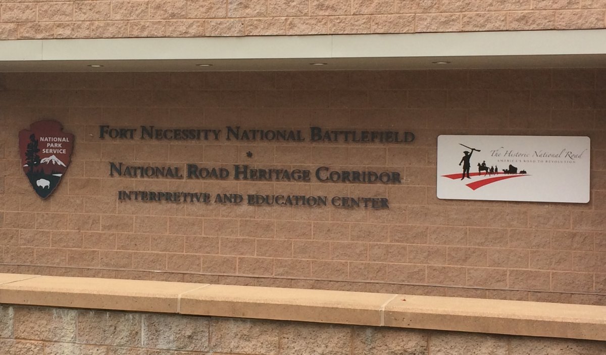
We had only one sightseeing stop today: Fort Necessity National Battlefield in the southwest corner of Pennsylvania.
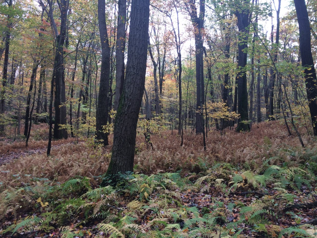
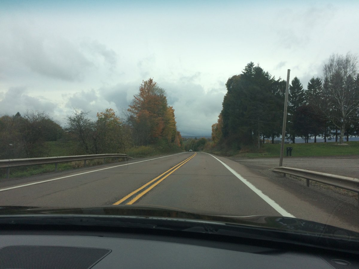
To get there, we left I-68 and headed northwest on the Highway 40, the National Pike, into Pennsylvania. We were pleasantly surprised to be driving through some very nice foliage. The colors haven't turned where we live in Maryland -- I thought we wouldn't see color this year -- so this was a pleasant surprise.
Here we are cruising on Highway 40, historical in its own right. It began as Braddock Road. From Wikipedia: The Braddock Road had been opened by the Ohio Company in 1751 between Fort Cumberland, the limit of navigation on the upper Potomac River, and the French military station at Fort Duquesne at the forks of the Ohio River, (at the confluence of the Allegheny and Monongahela Rivers), an important trading and military point where the city of Pittsburgh now stands. It received its name during the colonial-era French and Indian War of 1753–63 (also known as the Seven Years' War in Europe), when it was constructed by British General Edward Braddock who was accompanied by Colonel George Washington of the Virginia militia regiment in the ill-fated July 1755 Braddock expedition, an attempt to assault the French-held Fort Duquesne.
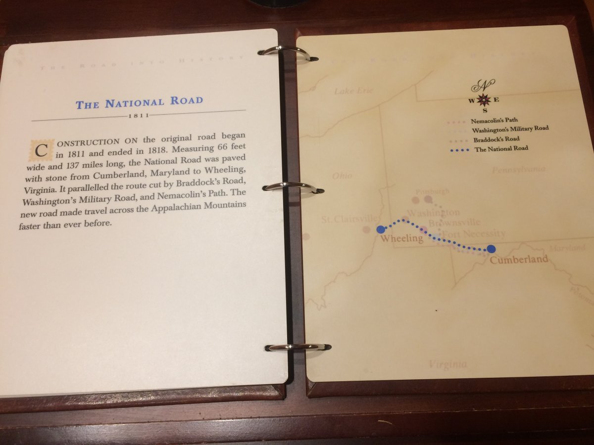
Later it became the Cumberland Road: the first major improved highway in the United States built by the federal government. Built between 1811 and 1837, the 620-mile road connected the Potomac and Ohio Rivers and was a main transport path to the West for thousands of settlers. When improved in the 1830s, it became the second U.S. road surfaced with the macadam process pioneered by Scotsman John Loudon McAdam. Construction began heading west in 1811 at Cumberland, Maryland, on the Potomac River. In the 20th century with the advent of the automobile, the National Road was connected with other historic routes to California under the title, National Old Trails Road. Today, much of the alignment is followed by U.S. Route 40.
Did George Washington start the first world war? You decide.
In the first half of the 18th century, the French and British both claimed the Ohio River Valley, the area along the Ohio River west of the Appalachian Mountains to the Mississippi River.
In January 1754, Governor Dinwiddie of Virginia sent a small force of Virginia soldiers to build a fort at the forks of the Ohio, where Pittsburgh now stands. The French drove off the Virginians and built a larger fort on the site: Fort Duquesne.
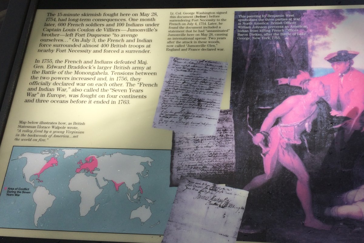
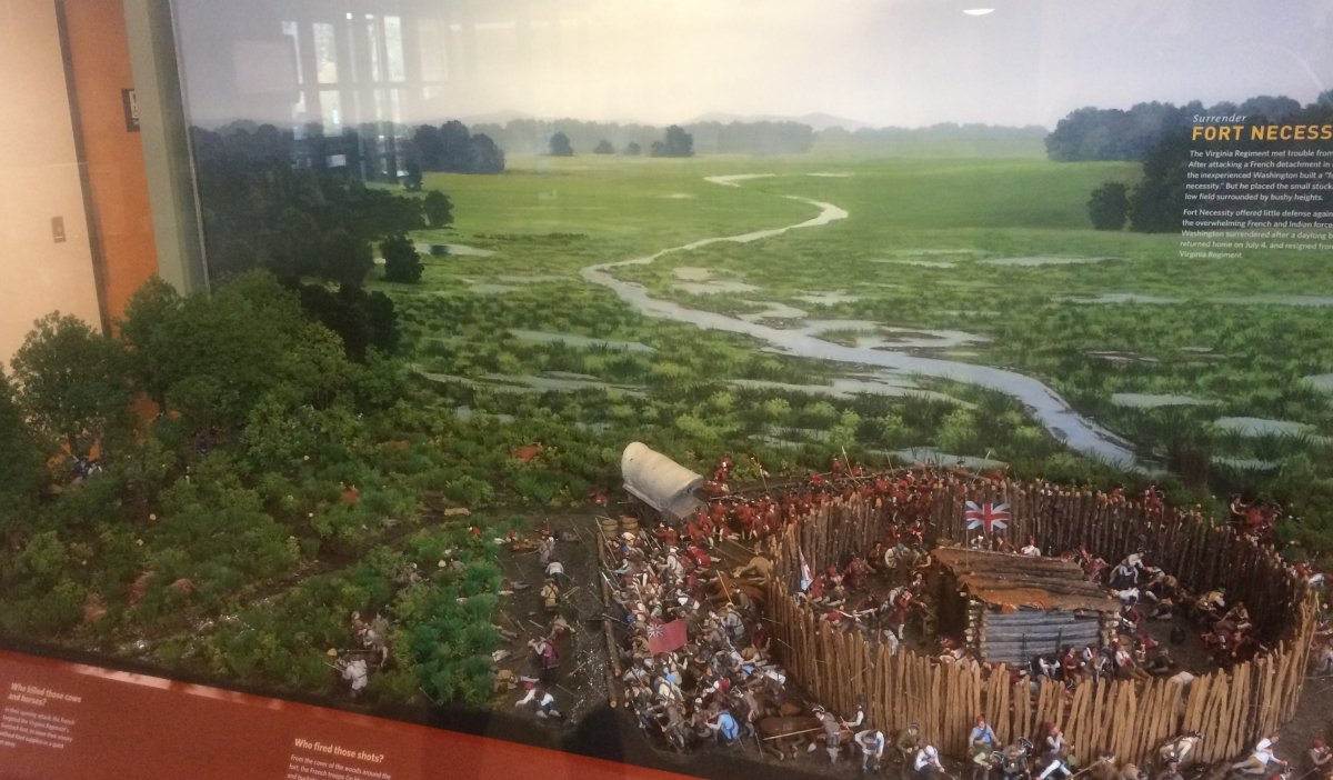
In early April Lieuenant Colonel George Washington led a small detachment of Virginia frontiersmen to help defend the British fort on the Ohio. When he learned the fort was in French hands, he set up an encampment in the Great Meadows, as the Fort Necessity area was called. A few days later he learned that French soldiers had been spotted about seven miles away. With the help of a friendly Indian chief, he led 40 men to their campsite, surprised them at dawn, killed ten and captured 21. One man excaped to carry the news back to Fort Duquesne. The French commander, Joseph Coulon de Villiers, Sieur de Jumonville, was killed and scalped by the Indian chief. The exact circumstances of Jumonville's death are a subject of historical controversy and debate.
"In the certain knowledge that the French would seek to avenge the massacre", Washington fortified his position at Fort Necessity. On July 3, about 600 French and 100 Indians approached the fort and took up positions in the woods. Washington had about 400 men by this time but no Indian allies. As you will see below, Washington had chosen a poor place to make a stand. The French could fire from concealed positions in the woods and the British had little cover. By the evening, Washington surrendered. "In return for a signed admission that he had assassinated his Grench opposite number, he was allowed to march out under arms and make his way home."
In January 1755 an expeditionary force commanded by Major General Edward Braddock was shipped to America. Braddock himself was to lead the regulars through the wilderness to the Forks of the Ohio and there storm Fort Duquesne. In June, they built a road from Cumberland to transport the heavy cannon. "Braddock complained of 'an uninhabited wilderness of steep rocky mountains and almost impassable morasses.'" On 9 July, Braddock's 1,300 troops including George Washington met 800 French and Indian raiders, ambushers, and skirmishers in the forest just short of Fort Duquesne. "By midday the British were in panic-stricken retreat. French and Indian fatal casualties were 23. The British suffered nearly 500, including Braddock. Washington got away unwounded, and other survivors included an extraordinarily large number of those later to be notable in the War of Independence and the life of the young United States: the most famous were Thomas Gage, who was to command the British troops at Lexington, Concord, and Bunker Hill, Horatio Gates, the American victor at Saratoga, and Daniel Boone, pioneer of the wilderness trail through the Appalachians and founder of Kentucky. It is an exhibition of both the vastness and smallness of 18th-century North America that this varied cast of characters shold all have found themselves together in anunsurveyed patch of woodland several hundred miles from civilization at the same time and for the same purpose. (Fields of Battle - John Keegan)
In June 1756, the Seven Years' War began. Prussia became part of a coalition led by Britain, which also included long-time Prussian competitor Hanover. At the same time, Austria ended centuries of conflict by allying with France, along with Saxony, Sweden, and Russia. Spain aligned formally with France in 1762. Some view the French and Indian War as being merely the American theater of the worldwide Seven Years' War of 1756–63. Some historians consider the Seven Years War the first World War.
Fort Duquesne would be destroyed in 1758 with the approach of a British army. The British replaced it, building Fort Pitt between 1759 and 1761. The site of both forts is now occupied by Point State Park, where the outlines of the two forts have been laid in brick.
As a result of the Seven Years War, French ceded Canada in accordance with the Treaty of Paris (1763). France also ceded its territory east of the Mississippi to Great Britain, as well as French Louisiana west of the Mississippi River to its ally Spain in compensation for Spain's loss to Britain of Spanish Florida. (Spain had ceded Florida to Britain in exchange for the return of Havana, Cuba.) France's colonial presence north of the Caribbean was reduced to the islands of Saint Pierre and Miquelon, confirming Great Britain's position as the dominant colonial power in America.