Grounds, Barriers, ATVs and Vandalism - May 12, 2020
|
|
I walked around the perimeter of Essex Skypark this last weekend to see for myself what the ATV riders had done in terms of damage to trees and grounds. Trees are discussed on a different page. Link.
I came away from this walk with the following impressions concerning grounds, barriers, ATVs and vandalism:
1. Currently, there are three main ATV access points to the Skypark open area, and all are open to ATVs. (see below map with red arrows) Two of the three access points have a low-wire barrier which is in disrepair and ineffectual. They have not been maintained. The third access point at the north end of the airport. It has no barrier.
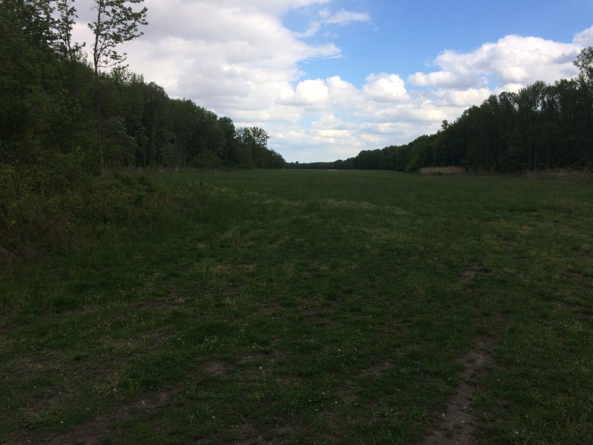
2. While there is a lot of swampy grass area, the runway grass overrun areas to the north (the first 3/5) and to the south are high, dry and undamaged.
3. The turf runway is high, dry and undamaged. With that said, there are swampy areas at the north and south ends, so it is shorter than the asphalt runway. It has always been so.
4. As everyone knows, there is a lot of swampy area at Essex Skypark. It is generally close to the treelines, where the ATVs transit.
5. Where the ground is dry, there is little evidence of ATVs. Once the wet areas dry up, evidence of ATV activity on the grounds won’t be so visible.
In my opinion, based on my direct observation, I find the recent vandalism minor, almost trivial, and does not justify spending significant money on fences, gates and security cameras.
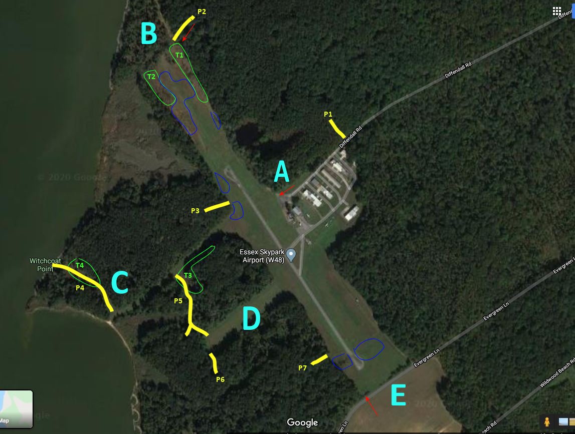
I created this map as a reference for my walkaround. I divided the areas of Essex Skypark into five areas: A) the parking lot, FBO building, hangars and Diffendall Road, B) the north end, C) the east side, D) the grassy Cul-de-Sac area and E) the south end. Paths (or trails) are colored in yellow and numbered P1 to P7. The Tree areas are colored in green and numbered T1 to T4. Swampy areas are colored in blue. The primary ATV entry/egress points are indicated by the red arrows.
|
| |
 |
|
|
I started off near A-row and the parking lot and headed around the Skypark perimeter counter-clockwise.
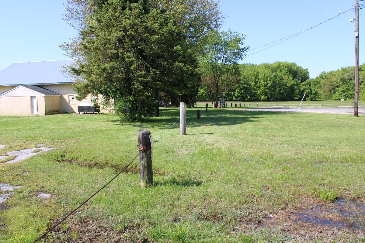
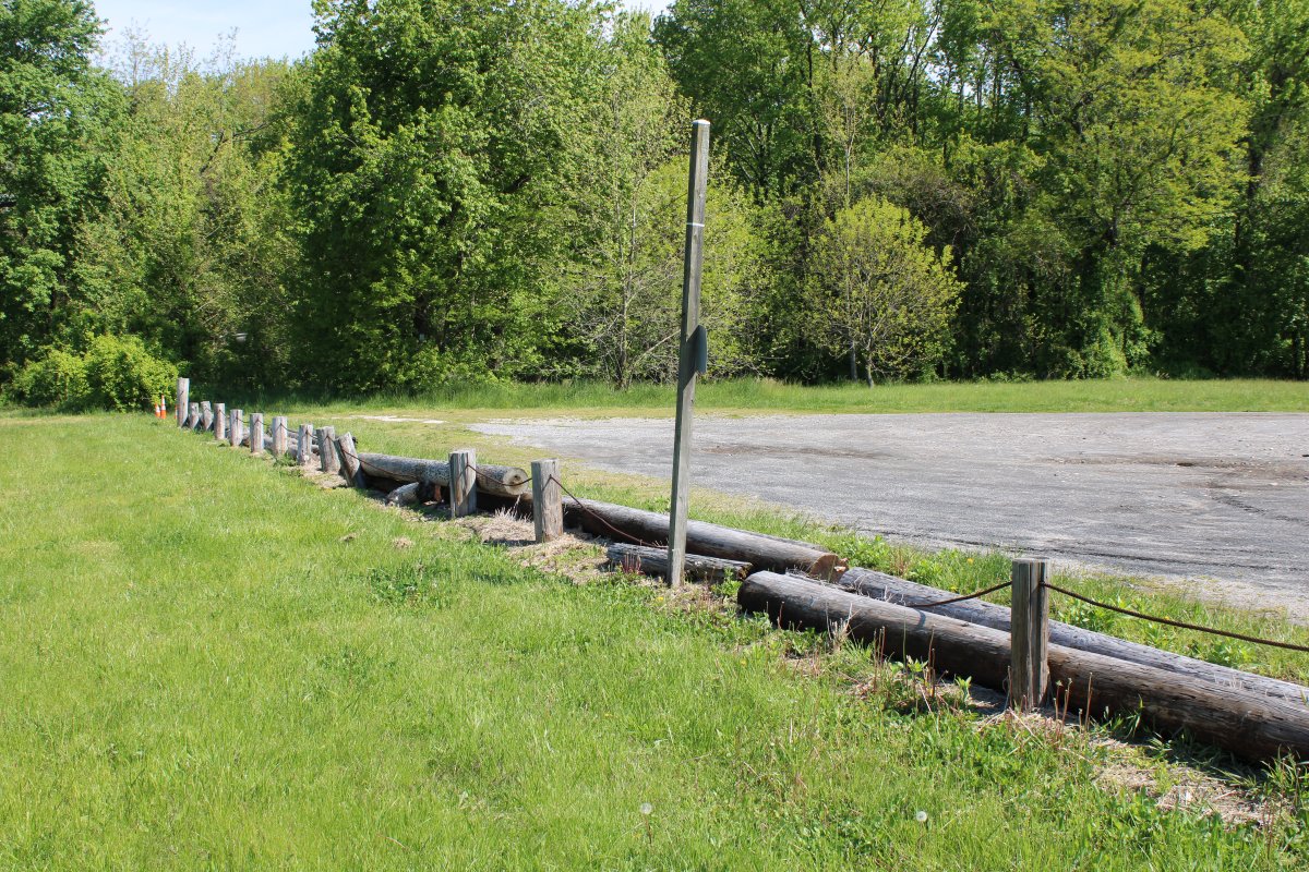
The existing barriers are mostly what I call low-wire barriers, consisting of telephone pole segments embedded into the ground with a low-heavy wire running between them. They are effective at keeping cars and trucks out. Maybe ATVs. That said, they are easily defeated with someone with bolt cutters. In my opinion, they are inexpensive and effective. And most of all they are non-obstrusive. Look how open and visible the Skypark is. You hardly even notice the barrier. This portion of the barrier is in good shape.
|
| |
 |
|
|
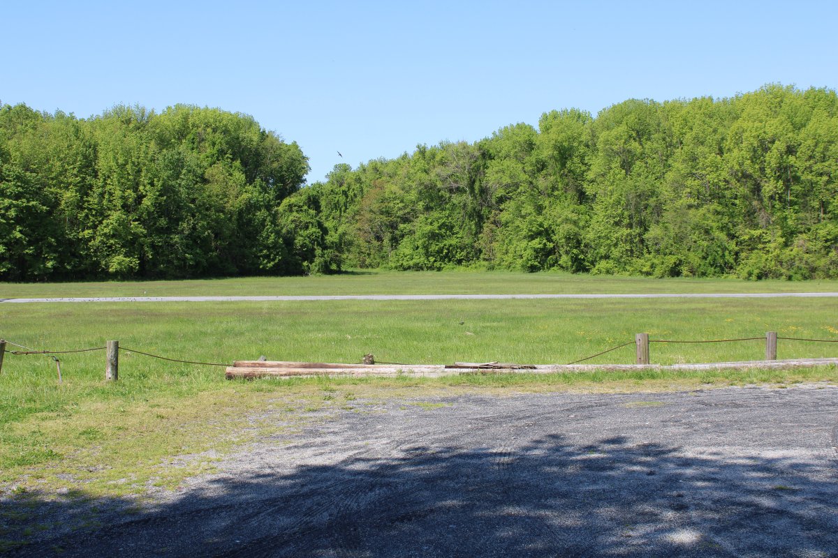
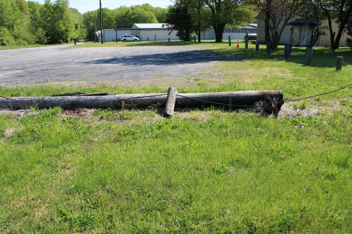
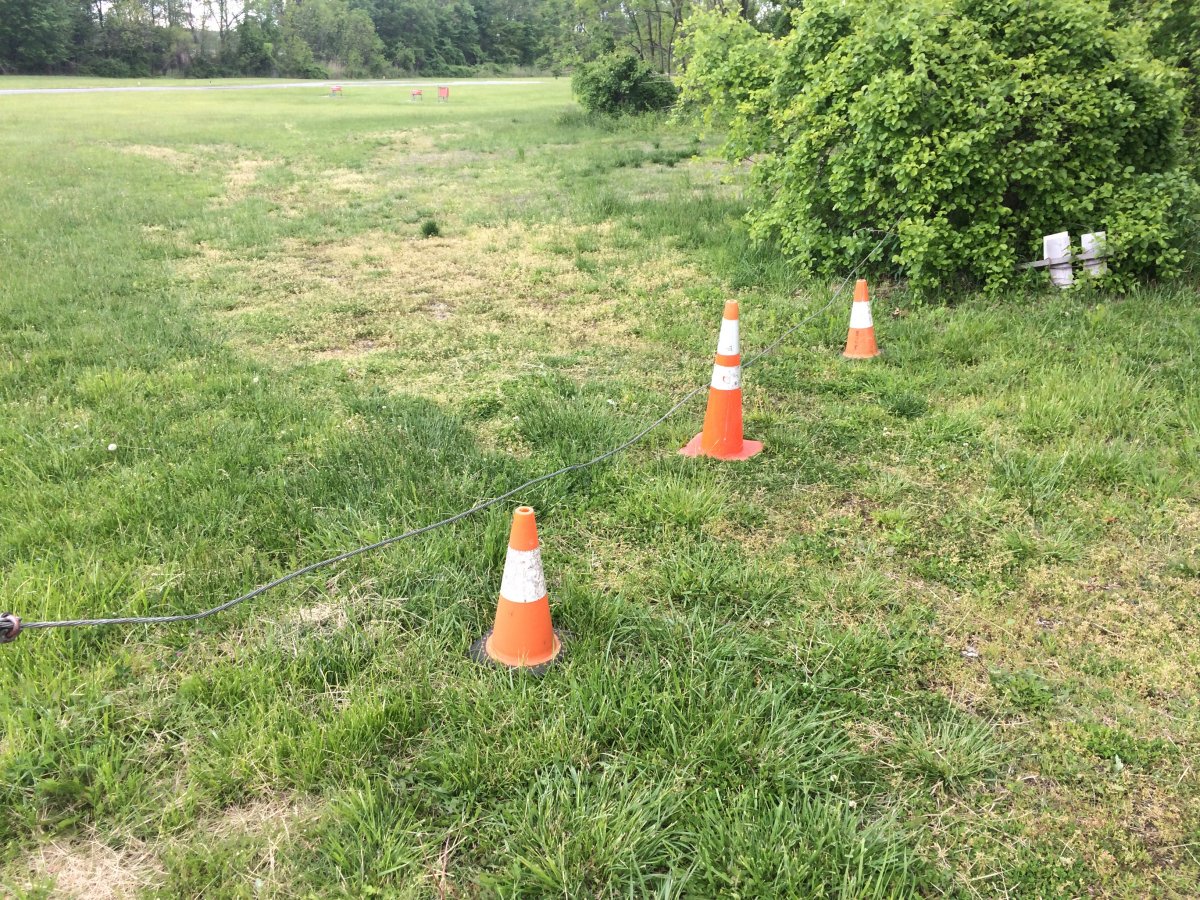
This is the edge of the parking lot facing the runway. There are three places where an ATV could get through although the ATV would have to go over the logs: 1) at bottom left, 2) by that signpost and 3) just to the left of the wire gate at the far end. Or the could just lift the wire gate and go under it. So this area is one of the three primary entry points for ATVs.
|
| |
 |
|
| Another look at the first entry point. The middle pole is so rotted that it has fallen over. |
| |
 |
|
|
This section of the barrier could be fixed by sinking a new pole.
|
| |
 |
|
|
In this second area, a pole seems to be missing so the wire is just laying on the ground.
|
| |
 |
|
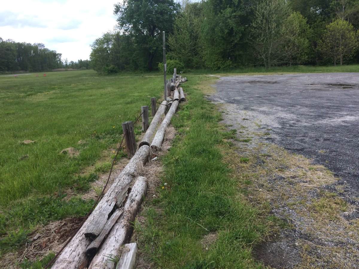
| Ah, there's the pole laying horizontally on the ground. The low-wire barrier at the parking lot edge does not appear to have been maintained for a long time. |
| |
 |
|
| A third area where an ATV could get through. |
| |
 |
|
|
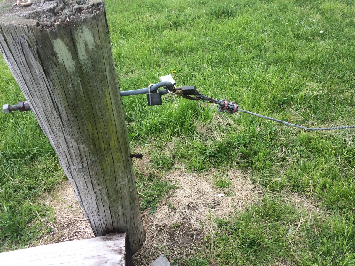
Padlocks. A cheap bolt cutter from Harbor Freight goes through a padlock like a knife through warm butter.
|
| |
 |
|
| An ATV can get through this "gate" by simply lifting the sagging wire and going under it. |
| |
 |
|
|
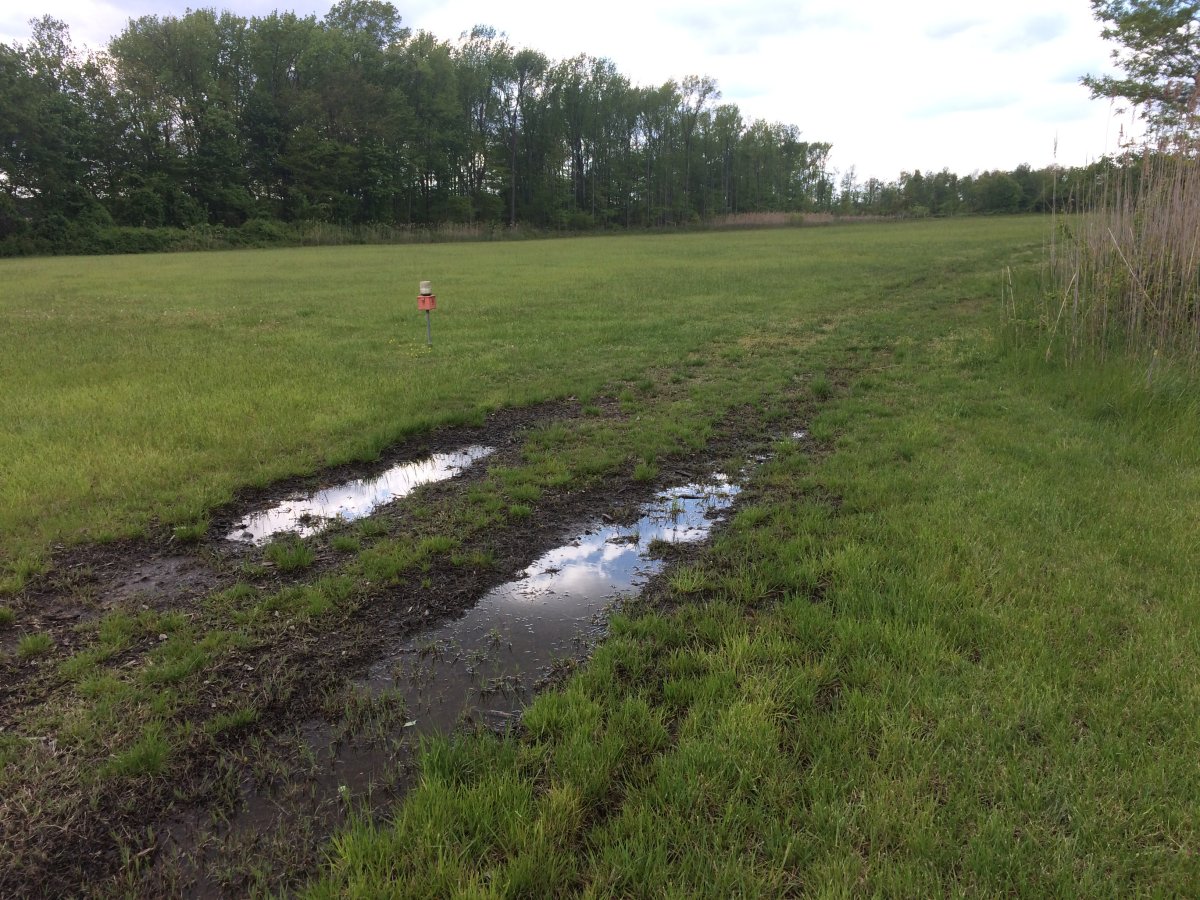
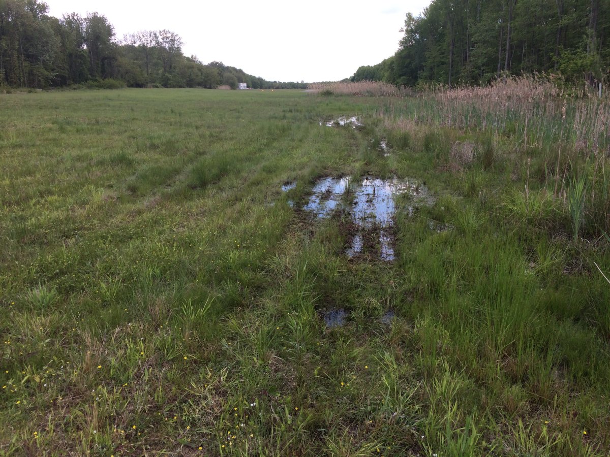
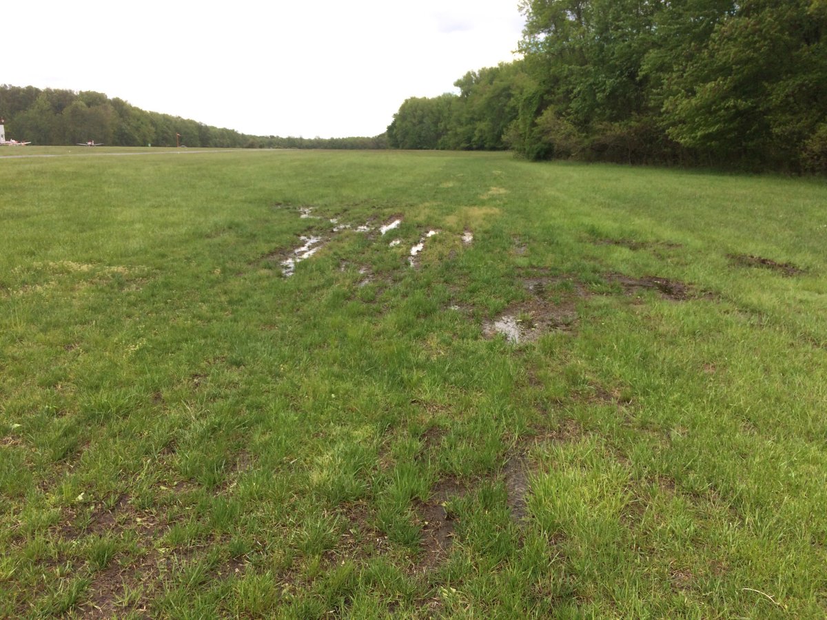
I'm proceeding counter-clockwise around the Skypark perimeter. I soon came to a swampy area. This was a harbinger of things to come. Much of the area at the treeline at Essex Skypark is very swampy.
I'm guessing these ruts were made years ago by the big trucks heading to the north end to work on the trees. Not ATVs.
|
| |
 |
|
| More water-filled ruts. |
| |
 |
|
| No ruts, but just a swampy area with visible water. Tree area T1 is visible to the right andtree area T2 to the left. |
| |
 |
|
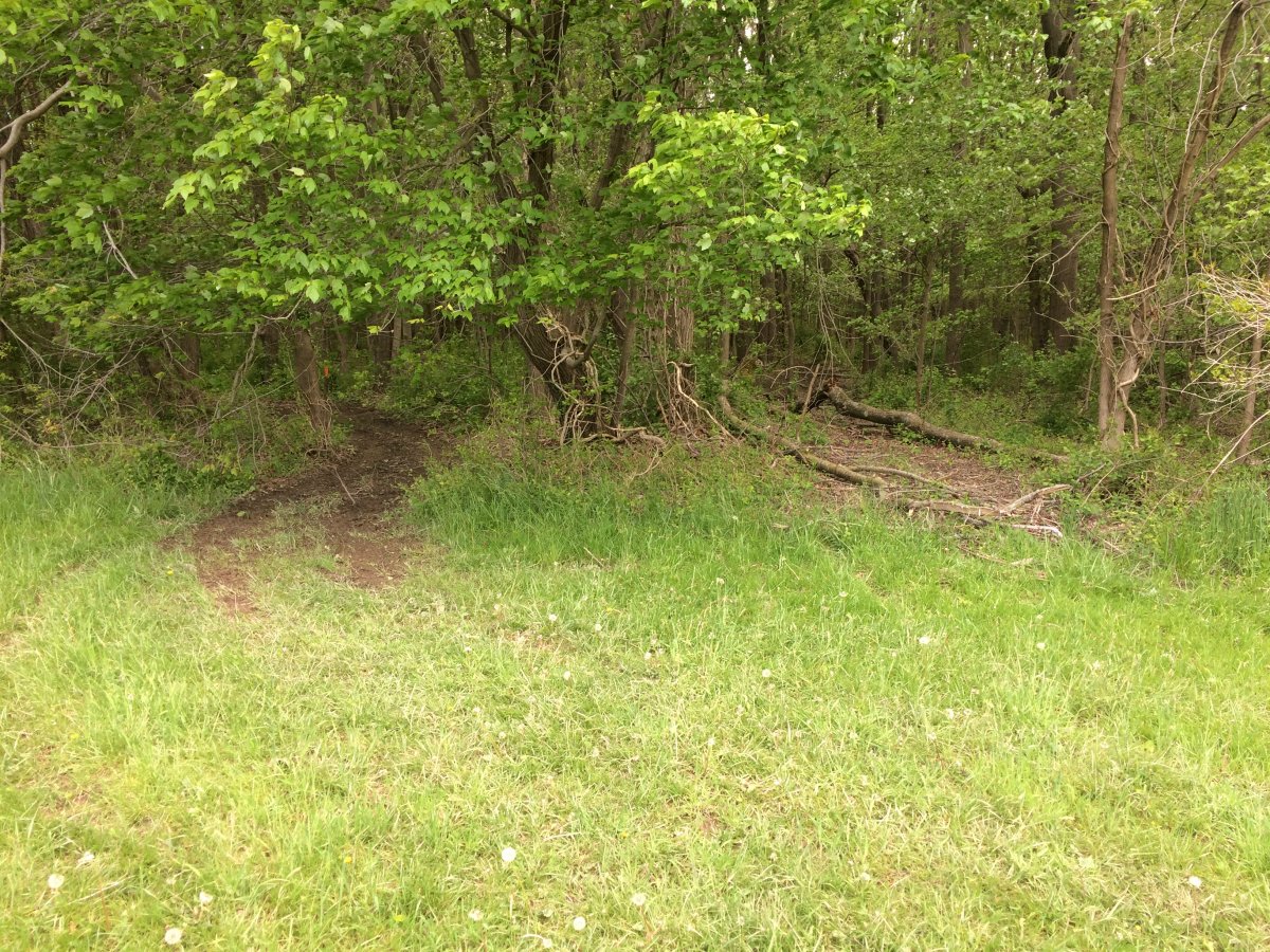
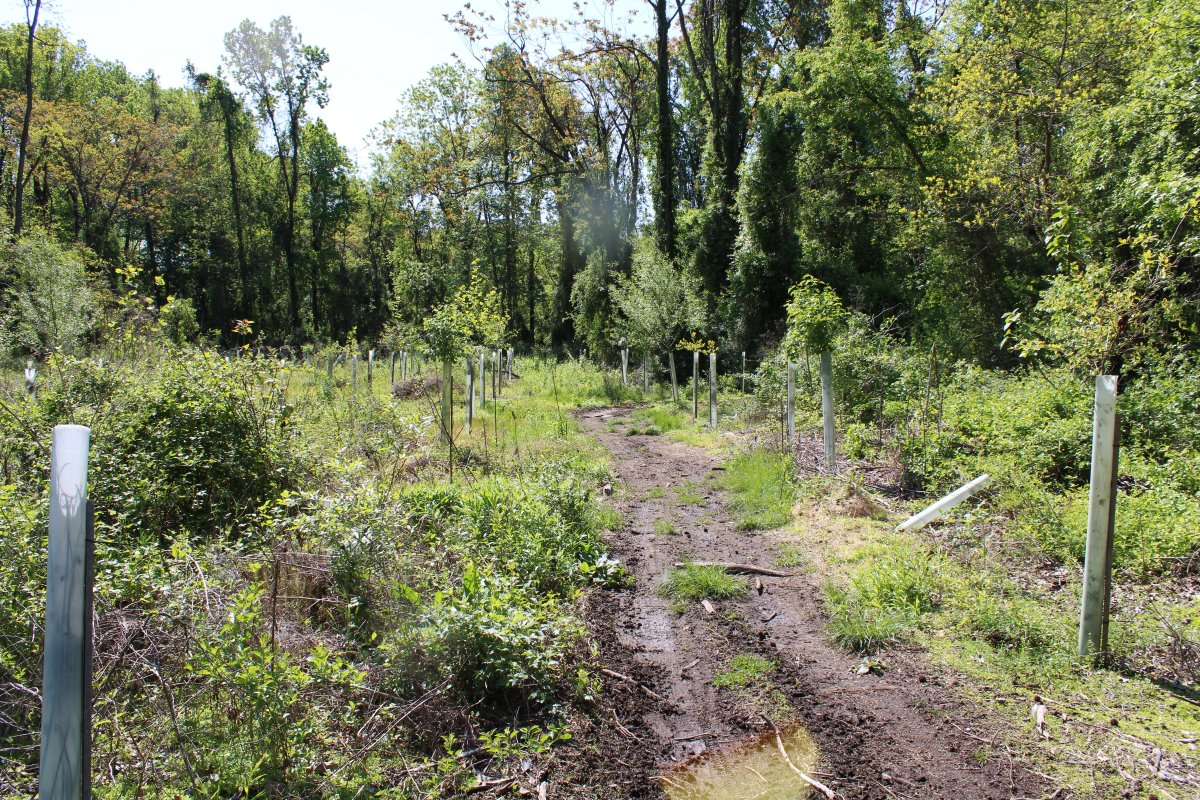
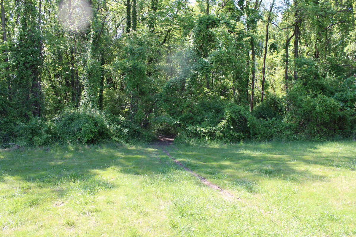
| This is the trail head to path P2 at the north end of the runway. Apparently, some of the ATVs are unloaded along Mitchell Road, just off Bay Ave -- that is north of the Skypark. They come through a path in the woods and enter the Skypark at this trailhead. The proposed fence plane does not address this trailhead. |
| |
 |
|
|
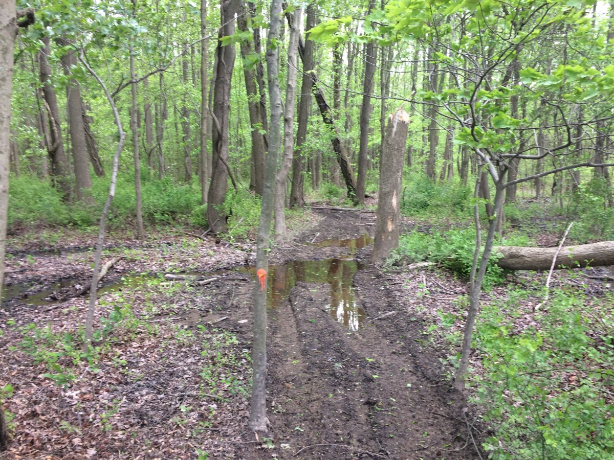
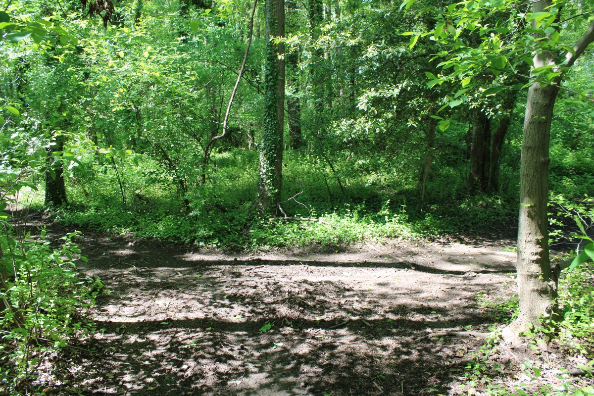
I walked into the woods a little bit.
|
| |
 |
|
| |
| |
 |
|
|
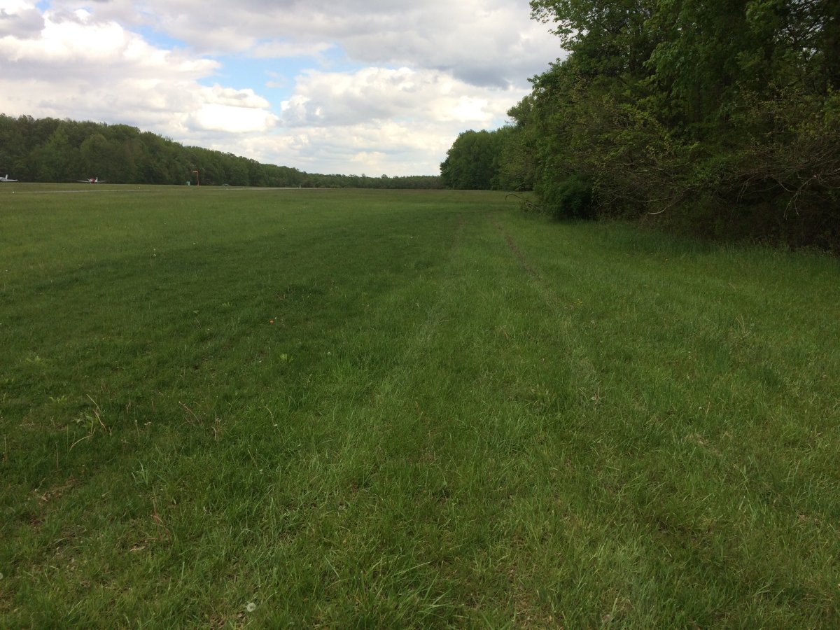
Back at the trailhead looking south.
|
| |
 |
|
|
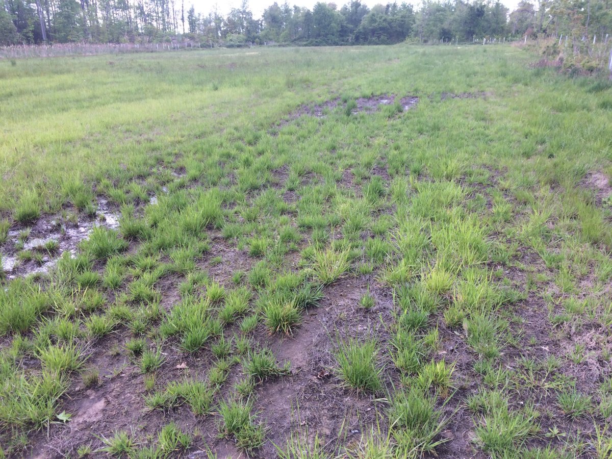
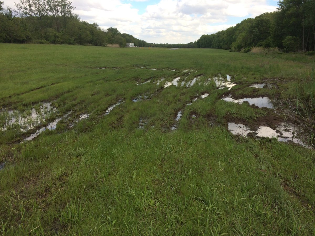
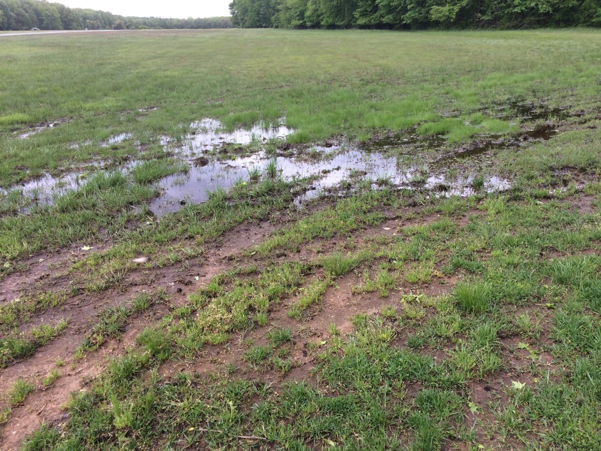
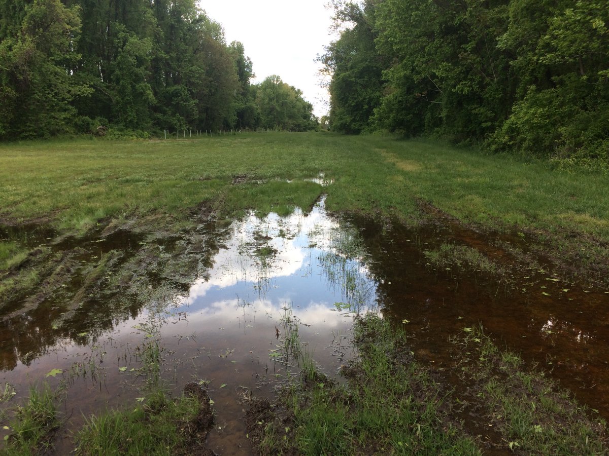
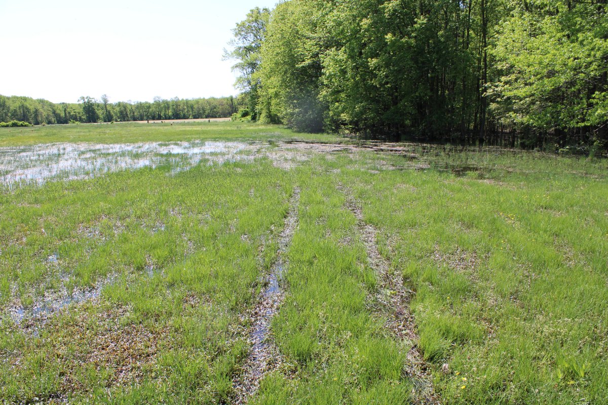
Now I am on the east side of the runway. As you can see, it is very swampy in this area. These marks are obviously from the ATVs. I think as things get warmer, and the ground dries, evidence of the ATVs on the ground won't be as visible.
It appears the ATVs do try and stay close to the treeline.
|
| |
 |
|
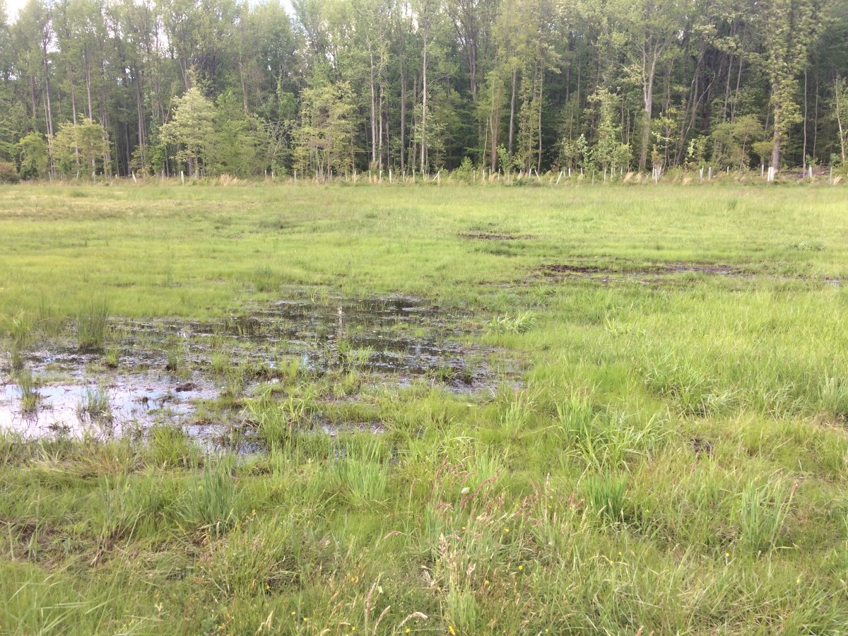
| This entire area is swampy. |
| |
 |
|
| Looking west. The northern third of the grassy area is a swamp all the way across. So there is no way for the ATVs to get through from the P2 trailhead without going through swampy area. |
| |
 |
|
|
This part looks pretty bad because it is swampy and the ATVs have to go through here.
|
| |
 |
|
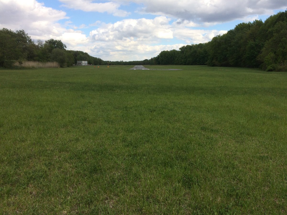
| The runway 34 grass overrun area is high, dry and undamaged. At least two thirds of it. The last third is swampy. |
| |
 |
|
|
Looking north. It's hard to see but it turns swampy. Better have your plane stopped before then!
|
| |
 |
|
| The area just to the left of the end of R34 is very swampy. |
| |
 |
|
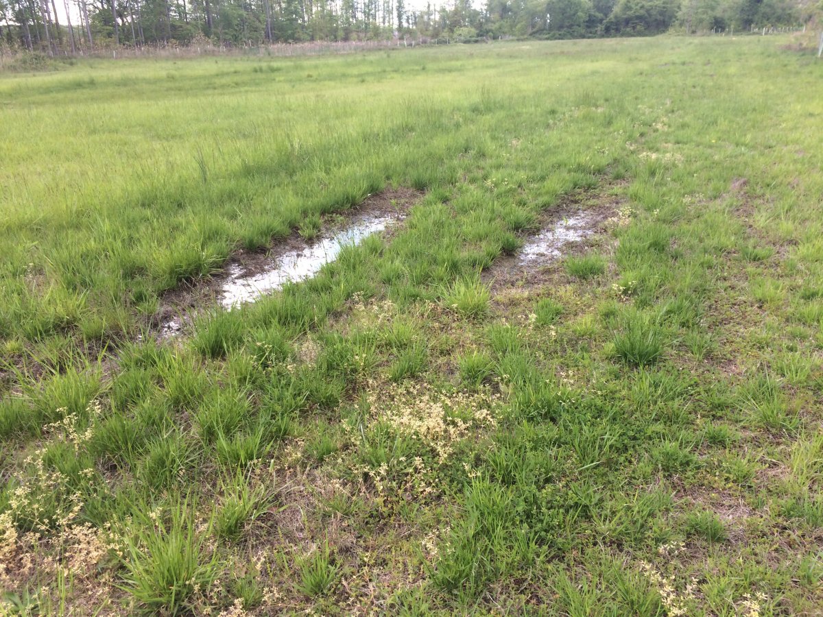
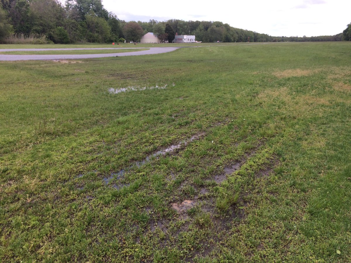
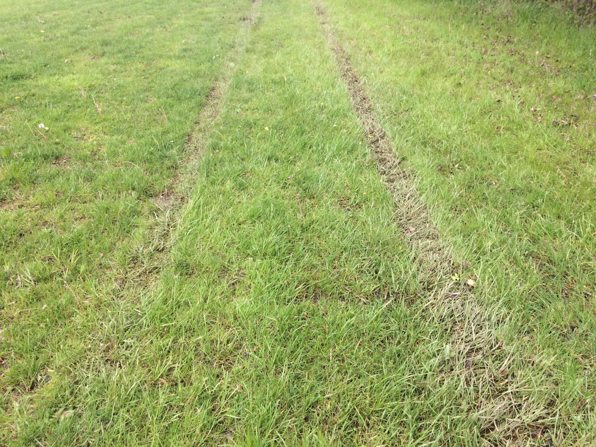
| This is a good example of an area that won't look bad once it gets dried out. |
| |
 |
|
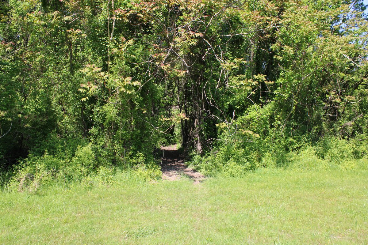
| The trailhead for Path P3 heads east. |
| |
 |
|
|
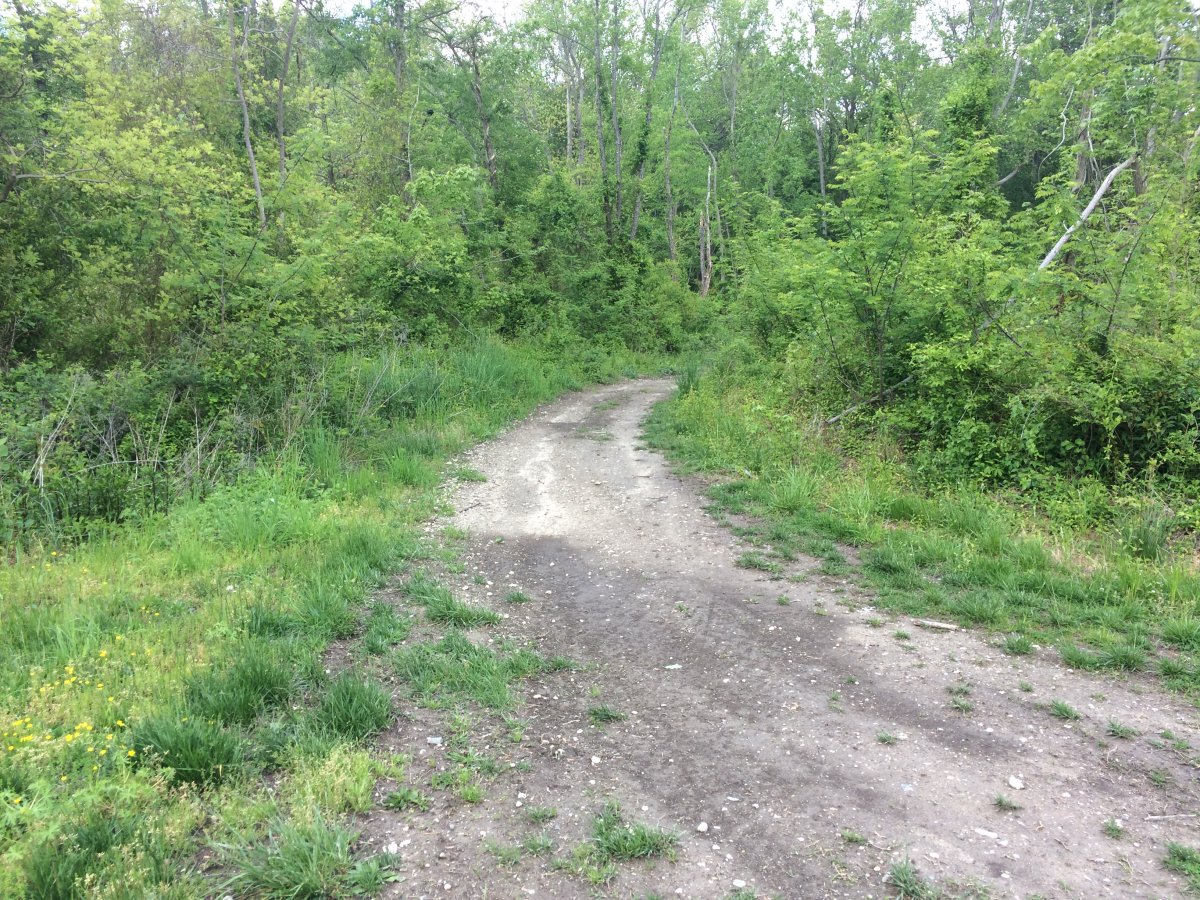
The path a little ways in.
|
| |
 |
|
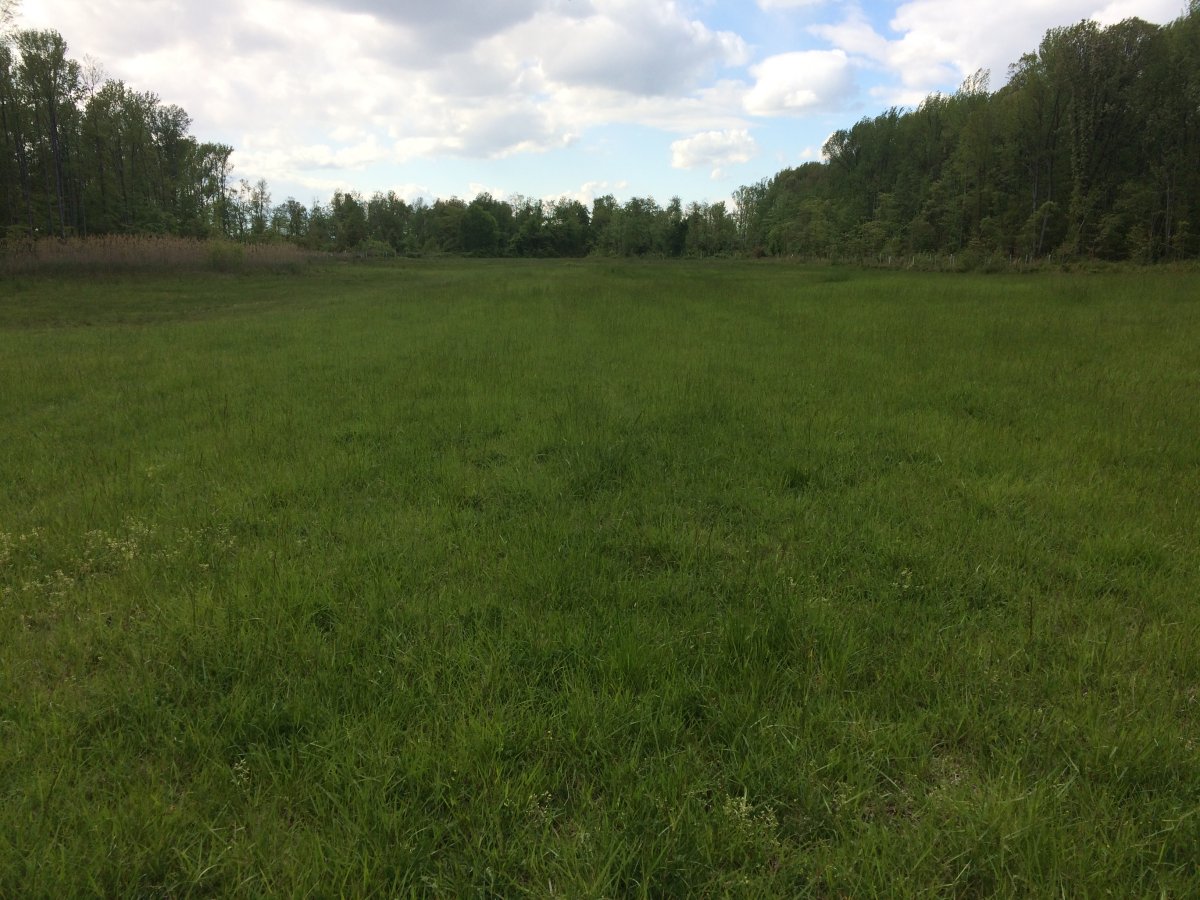
| This area along the treeline is fairly dry. You can see faint marks from an ATV but it is hardly noticeable. |
| |
 |
|
|
A little more noticeable here. But not a big in my opinion.
|
| |
 |
|
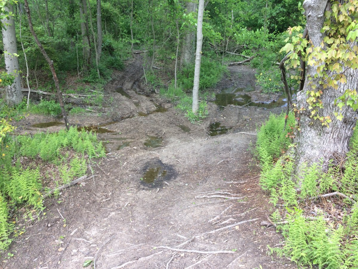
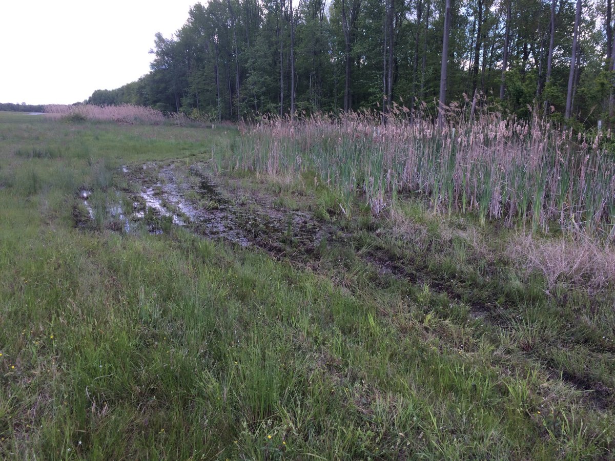
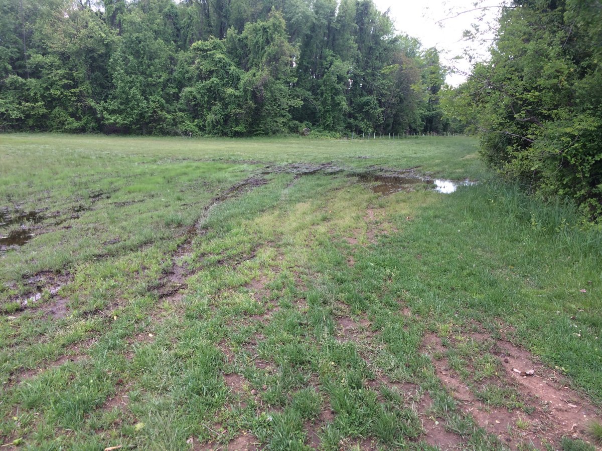
| It turns very swampy at the shoulder of the entrance to the draw heading to the beach. |
| |
 |
|
| It's hard to see here but there is evidence of ATVs doing "360s" in this area. This was the only real damage to the grounds I was from the ATVs. |
| |
 |
|
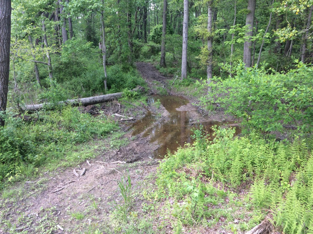
| Rounding the bend through the swamp. |
| |
 |
|
|
A veritable lake at this point.
|
| |
 |
|
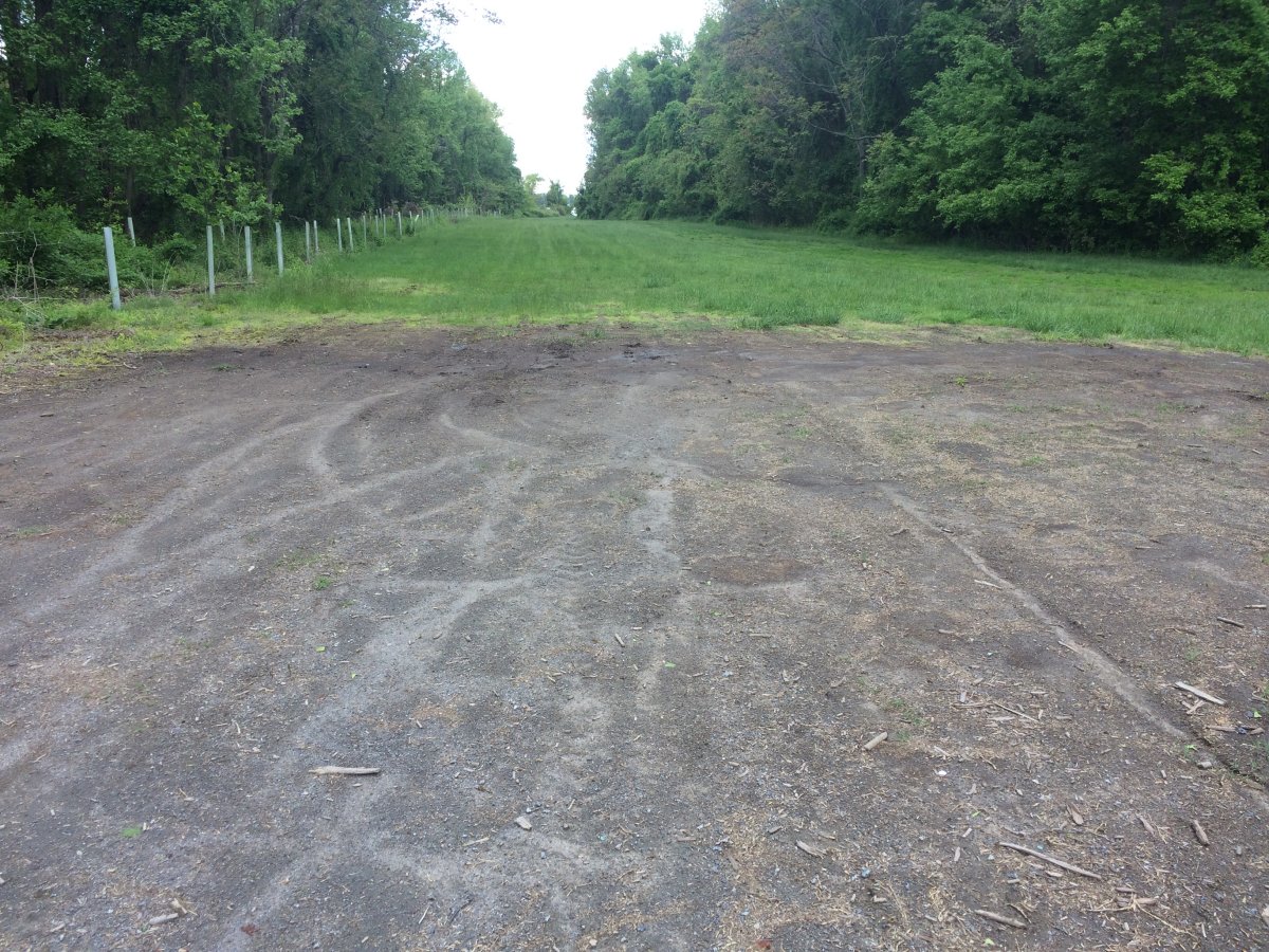
| I'm not sure what this grass-less area is, but you can see when the ground is dry, the ATV impact is minimal. |
| |
 |
|
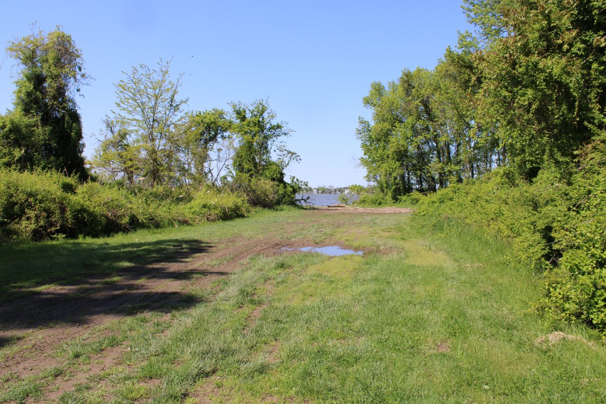
| Approaching the beach. |
| |
 |
|
|
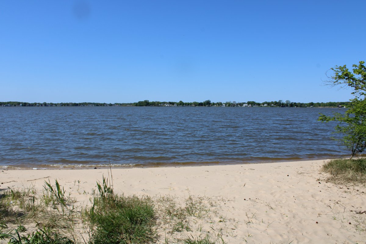
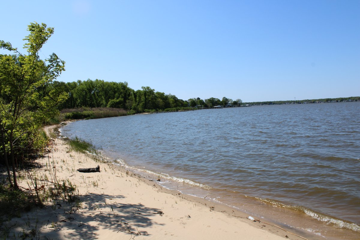
The beach.
|
| |
 |
|
| Looking south from the beach. |
| |
 |
|
|
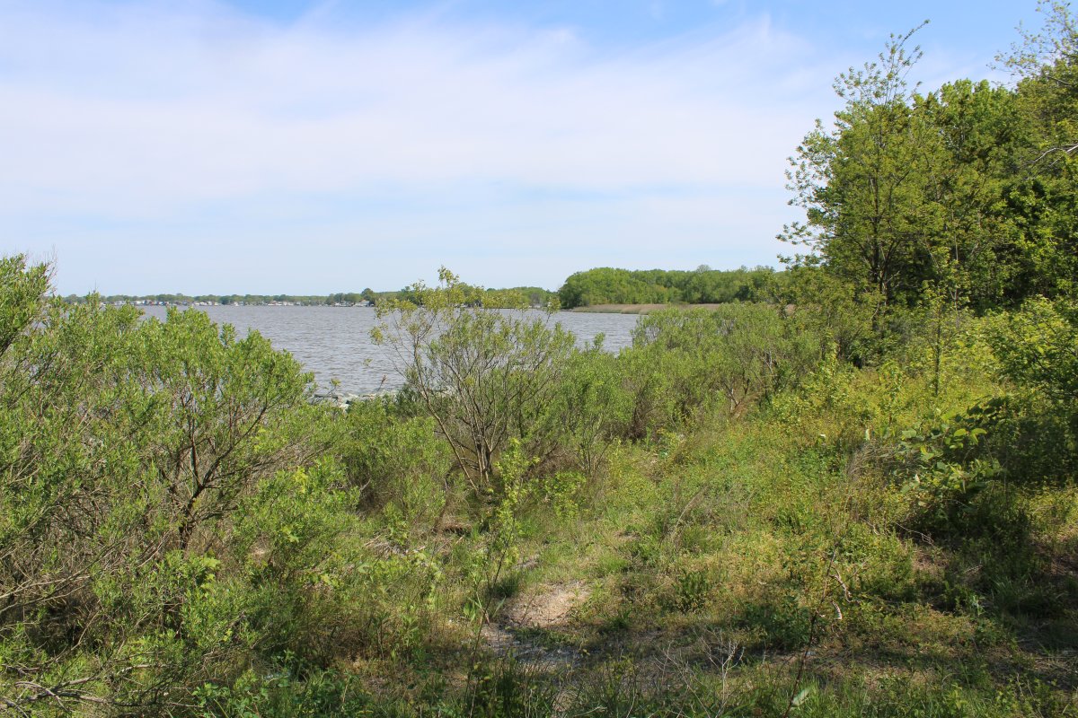
Near the beach is the trailhead to Path P4 which leads to tree area T3 and Witchcoat Point.
|
| |
 |
|
| Path P4 ends here at waters edge. |
| |
 |
|
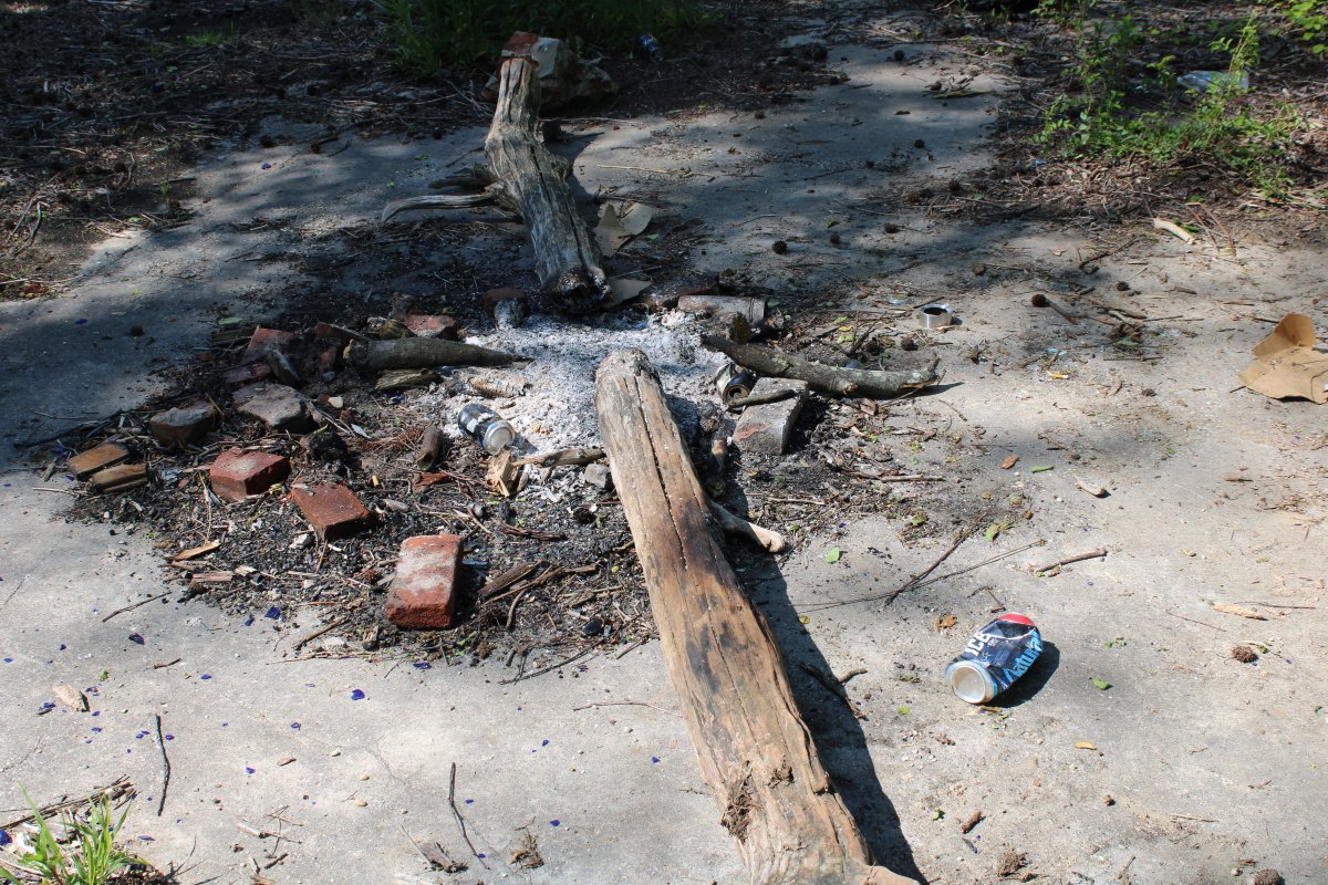
| Clearly, this is a good party spot for someone. |
| |
 |
|
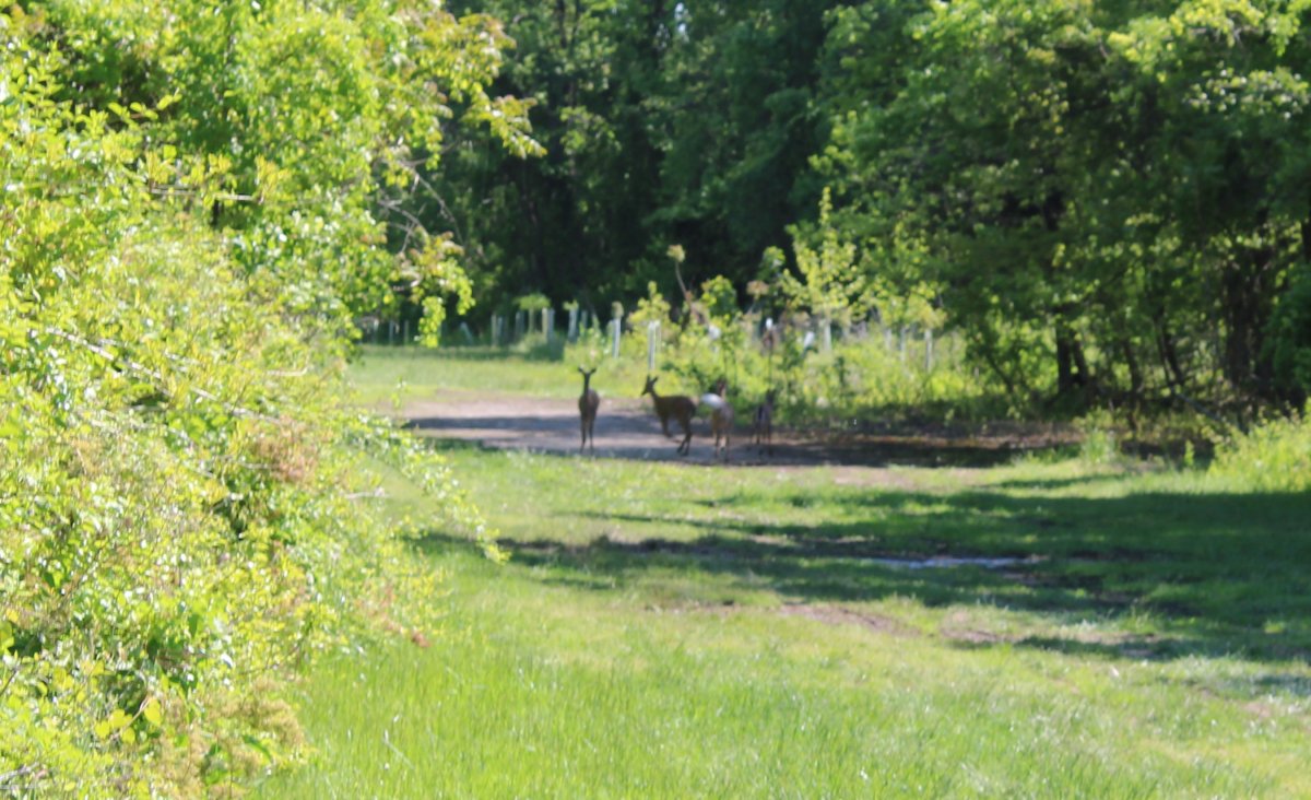
| As I walked back to the runway area, I encourted these young fellas headed the other way. |
| |
 |
|
|
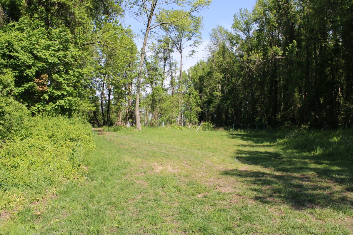
I turned south down Path P5. That's tree area T3 on the left.
|
| |
 |
|
| I come to a fork in Path P5. I took the left path. |
| |
 |
|
|
And shortly exited out into the grassy Cul-de-Sac: Area D.
|
| |
 |
|
| Looking across the grassy Cul-de-Sac at the trailhead to Path P6. |
| |
 |
|
|
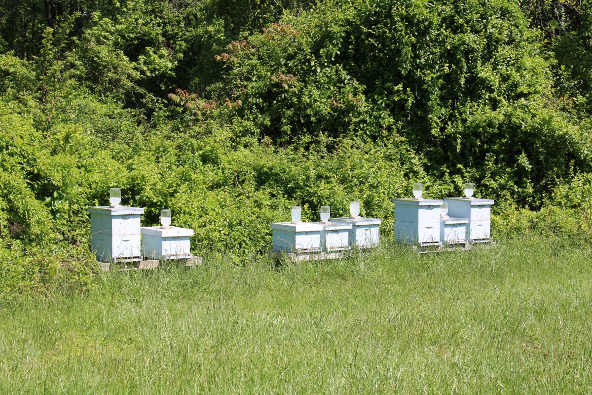
I walked down the grass Cul-de-Sac toward the runway. The overturned beehive has been righted. The bees were happily buzzing around when I passed.
|
| |
 |
|
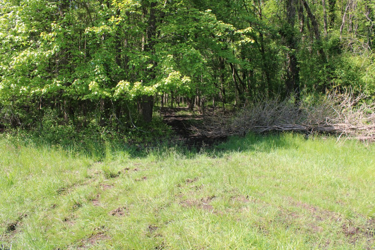
| I rounded the corner and am now walking south down the treeline. Here is the trailhead to Path P7. |
| |
 |
|
|
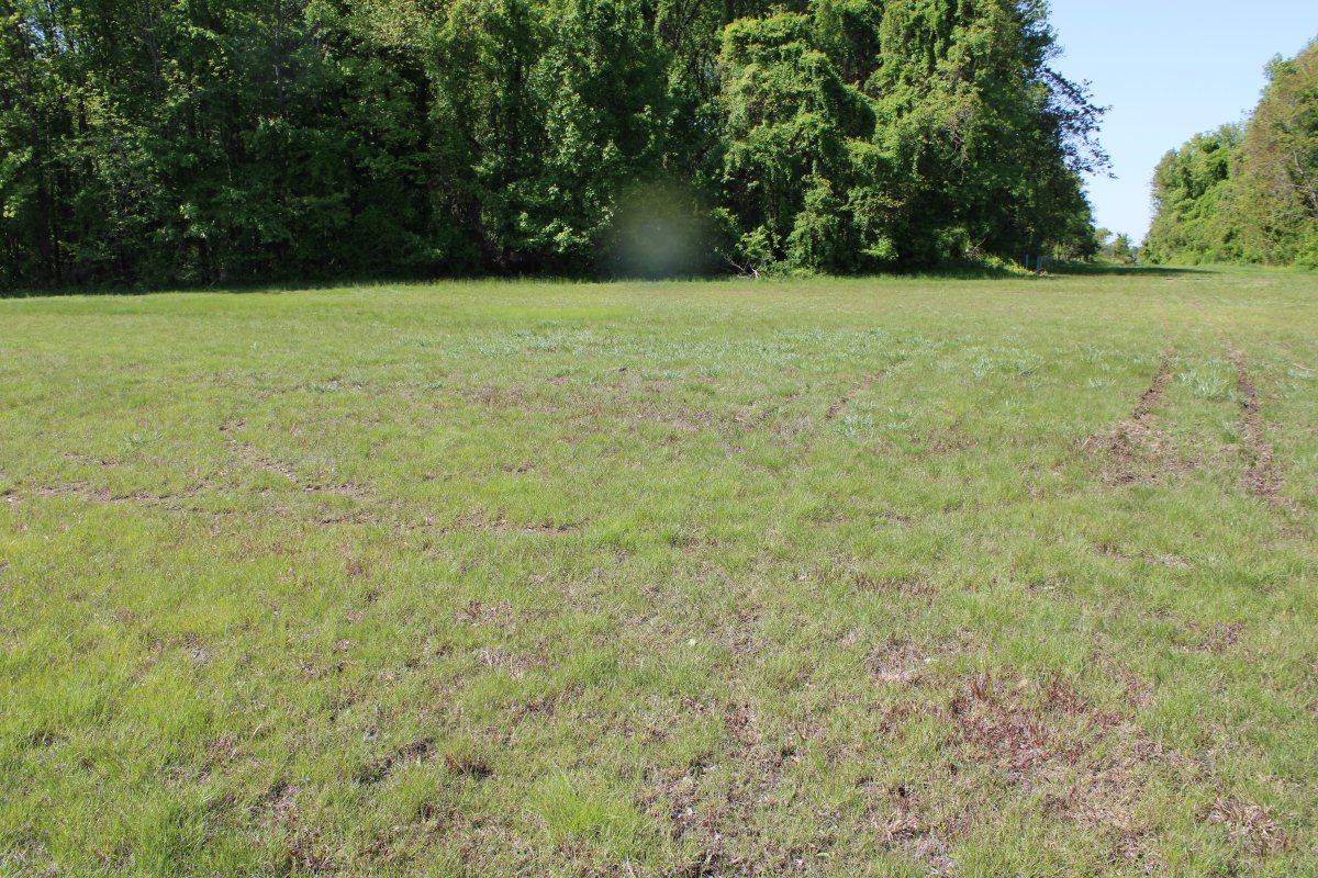
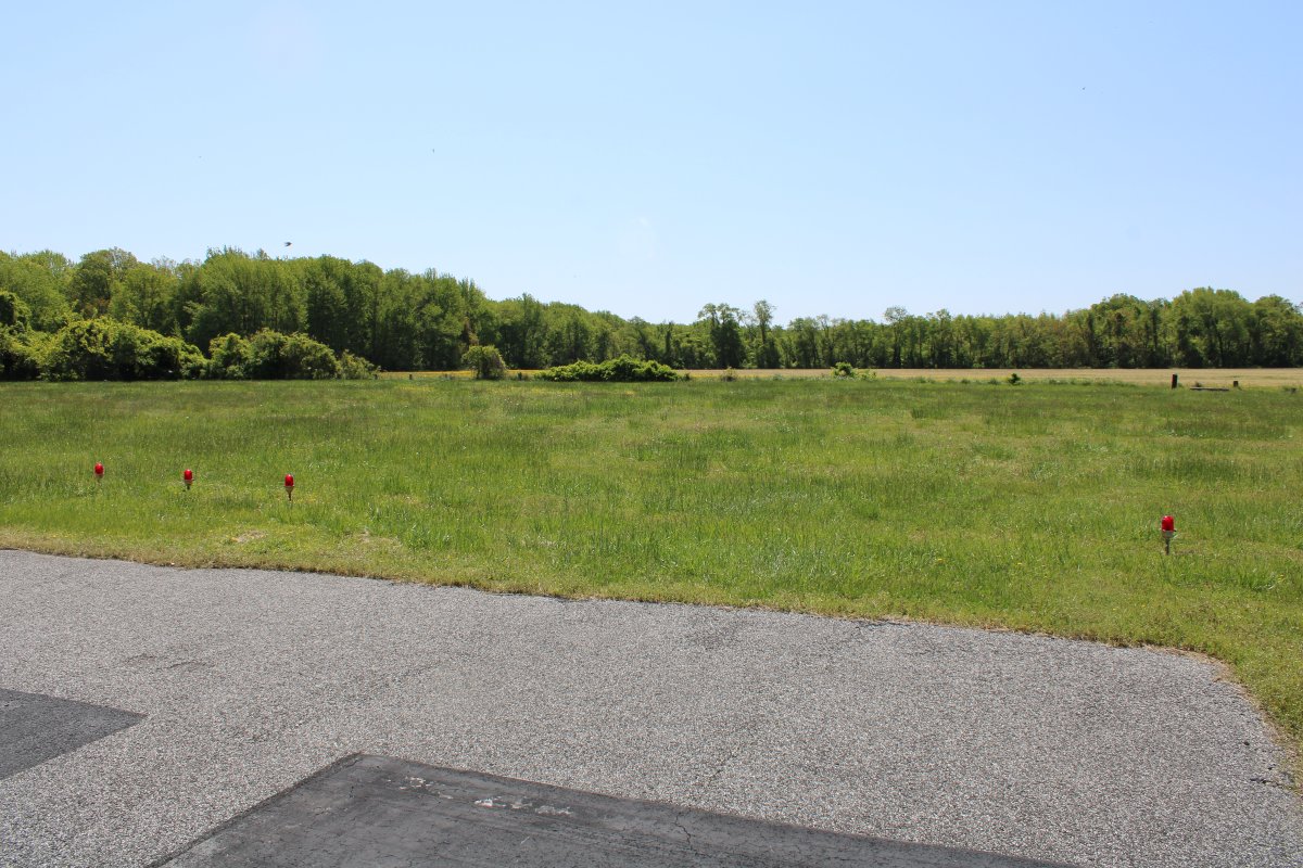
Another example of how a dry area shows no ATV activity.
|
| |
 |
|
| As anyone familar with Essex Skypark knows, there is a veritable lake on each side of the end of runway 16. |
| |
 |
|
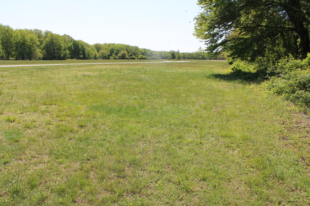
| The overrun area for runway 16 is high, dry and undamaged. |
| |
 |
|
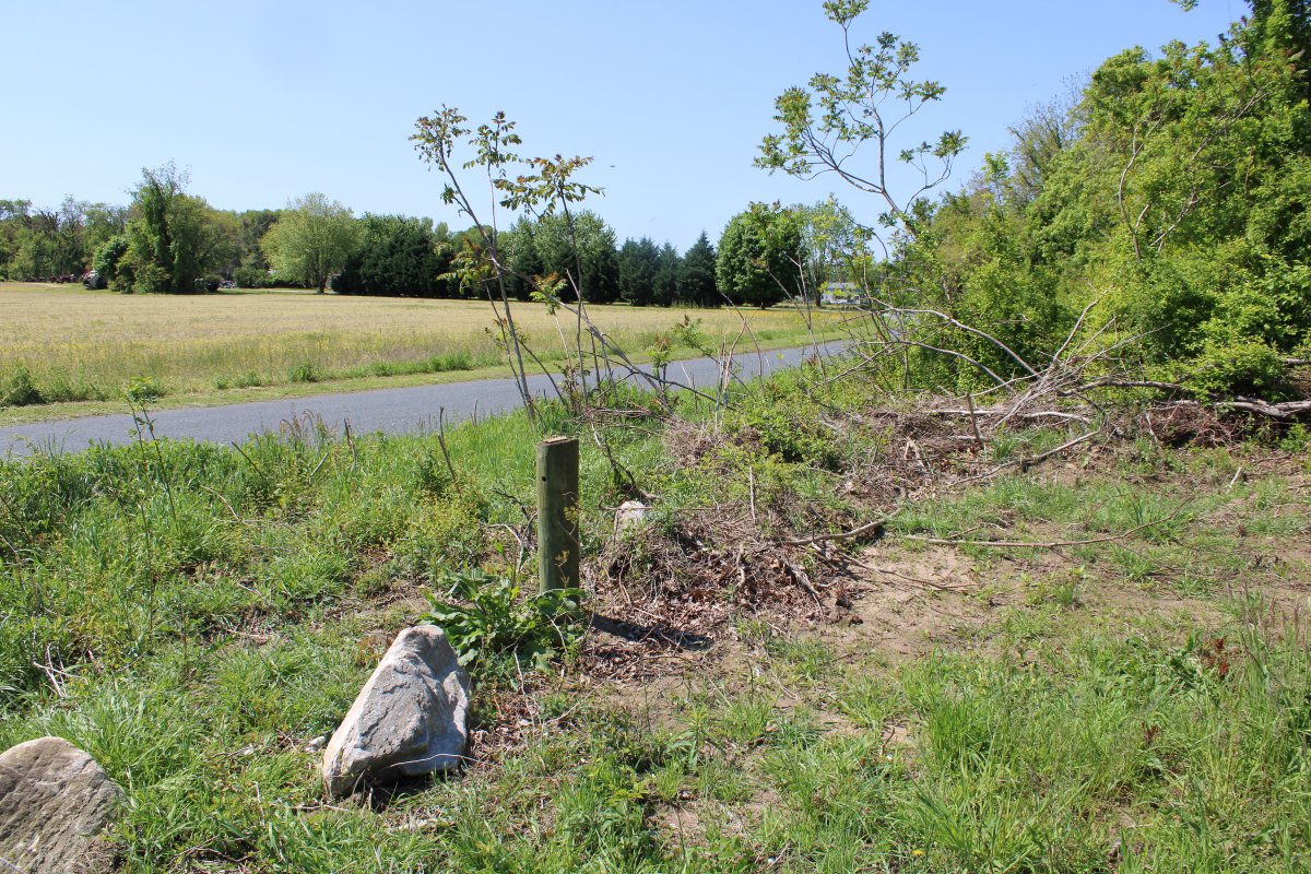
| This is the third main entry point for the ATVs. It has a low-wire barrier. However the wire is gone. I don't know how long it has been like this. |
| |
 |
|
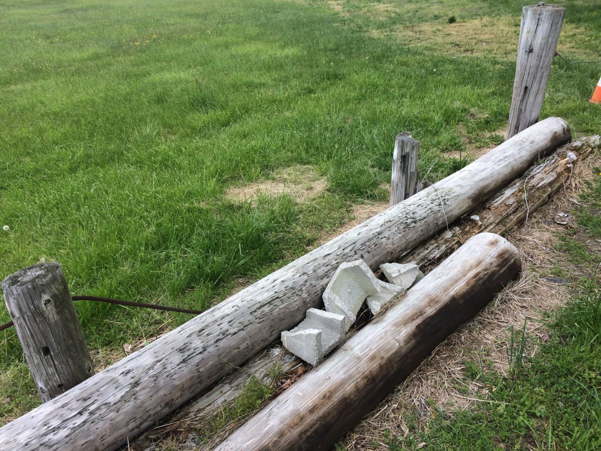
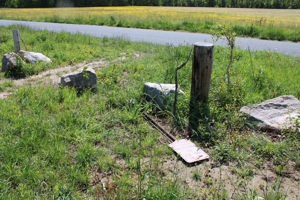
| A closer look at one place where ATVs can get through. |
| |
 |
|
| |
| |
 |
|
|
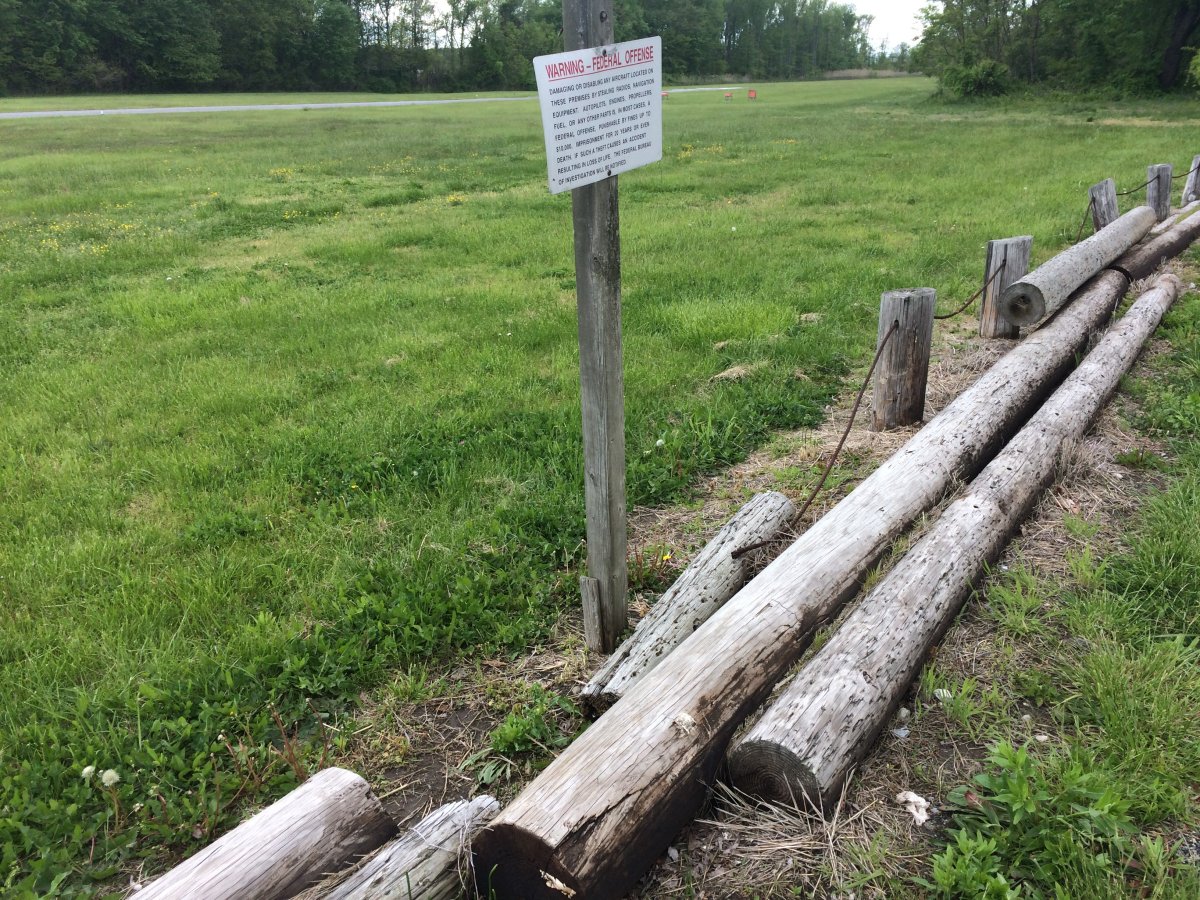
The warning sign is not doing much good.
|
| |
 |
|
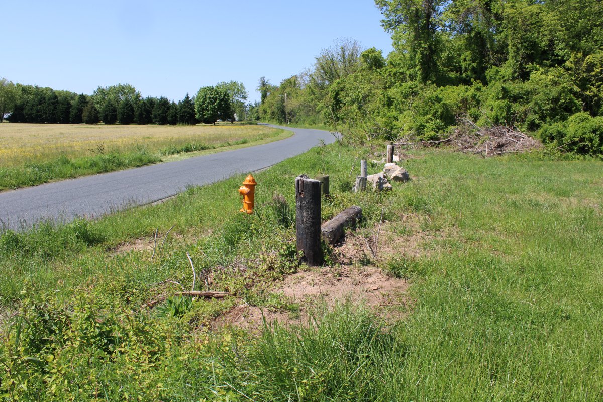
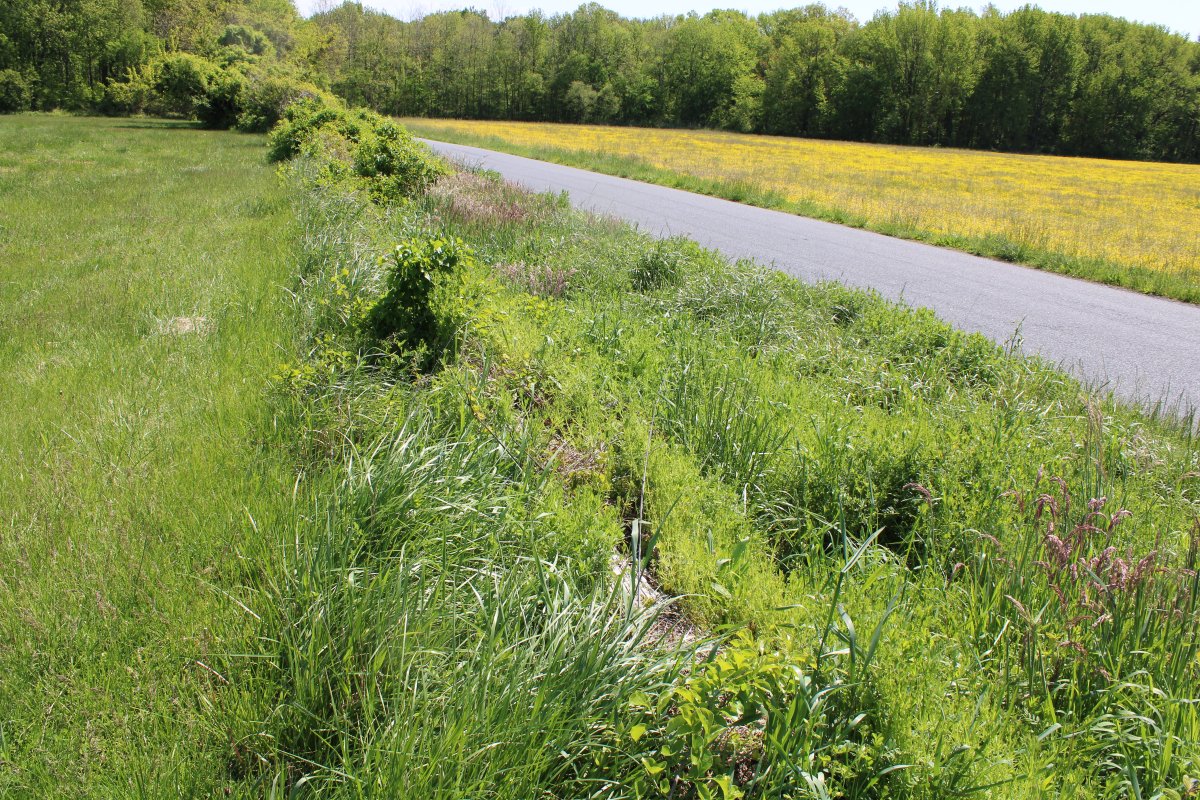
| It's hard to see because it is covered by vegetagion but there is a log barrier along this portion of the grounds. |
| |
 |
|
|
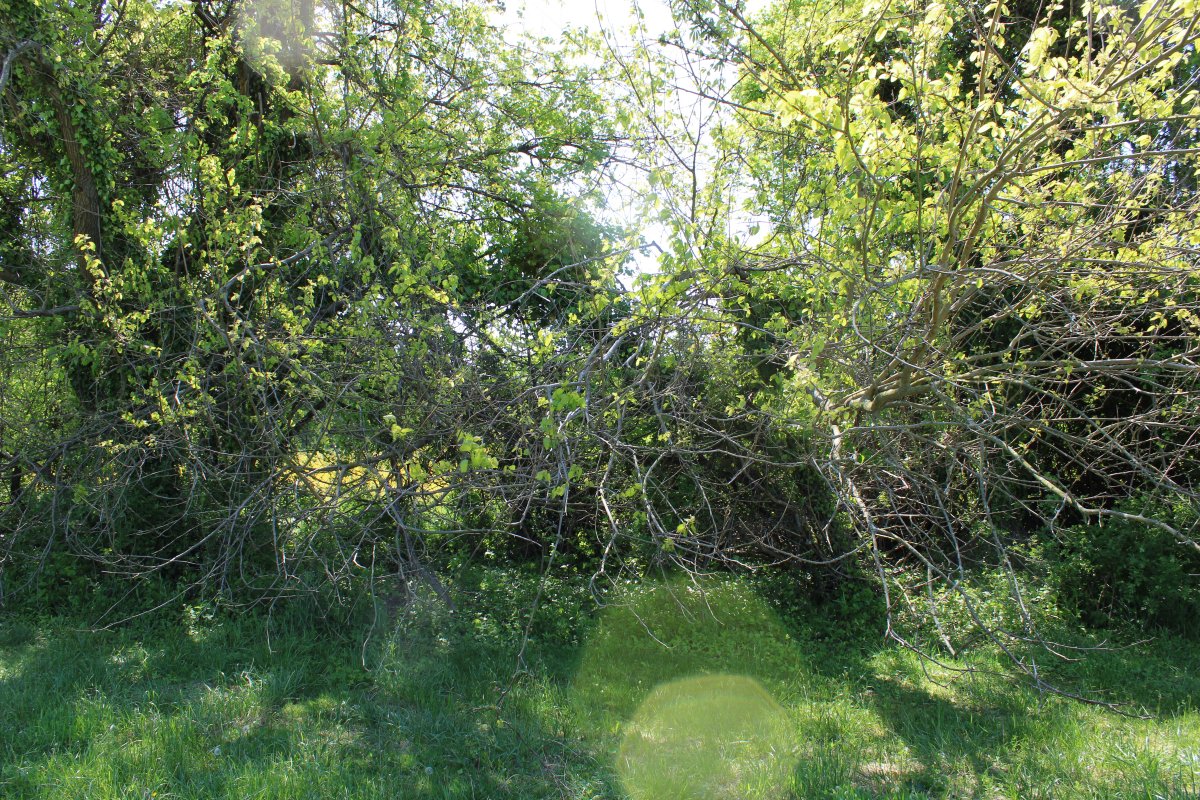
Then a natural tree and brush barrier.
|
| |
 |
|
|
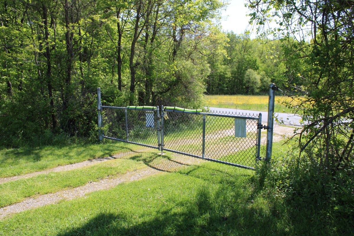
Finally, a chain-link fence gate, secured by a simple padlock.
Imagine an ugly fence like this across the entire southern end of the Skypark, and across the parking lot edge facing the runway. A fence that could itself easily be vandalized by a $20 pair of bolt cutters. A fence that would rust and look unsightly after a few years.
|
| |
 |
|
|
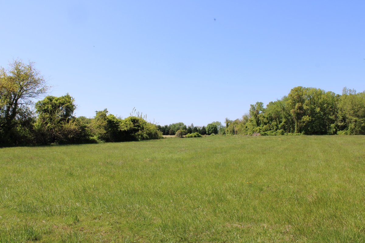
Another look at the high, dry and undamaged overrun area for runway 16.
I have no pictures but the radio-controlled airplane runway and complex is high, dry and in great shape.
|
| |
 |
|
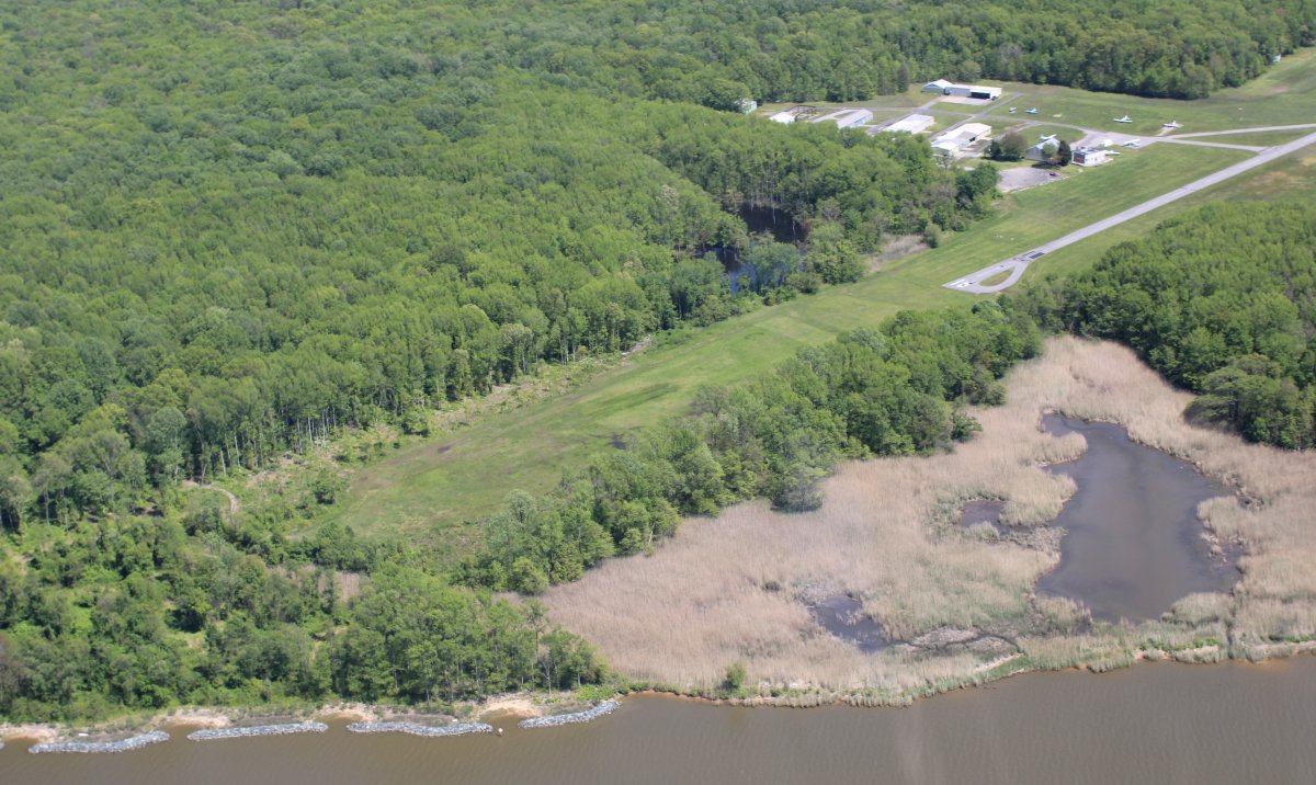
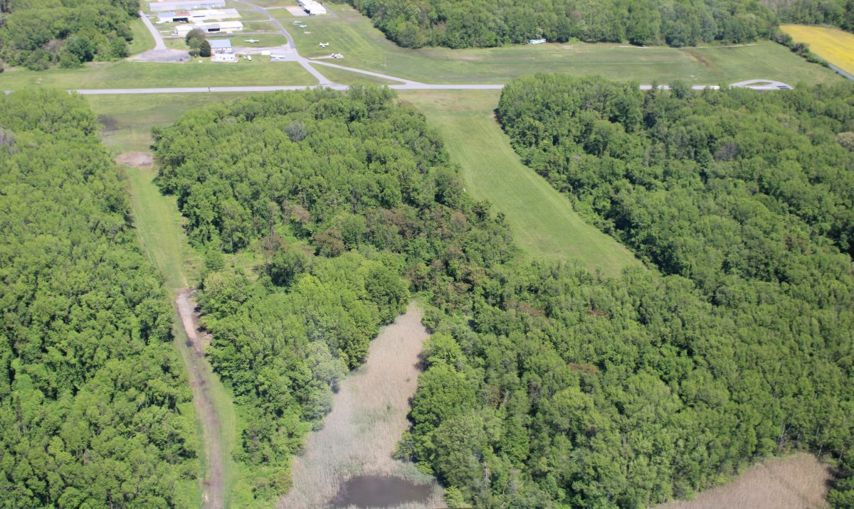
| A good aerial view of the overrun area of runway 34. You can see how the first 3/5 is dry but after that it gets very swampy. No ATV damage is visible from the air. |
| |
 |
|
|
A look at the beach area.
|
| |
 |
|
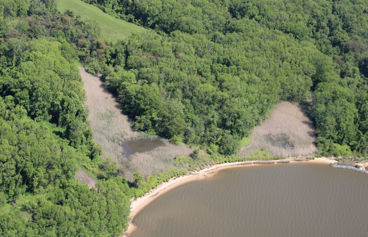
| A good look at both draws. |
| |
 |
|
| |
|
|
|
|
|
|