July 12, 2019 - Flight West - Day Seventeen - Last Leg
|
|
I departed the Dallas area not sure of what my plans were for the day. I knew I was going direct to Belzoni, Mississippi -- more about that later -- and then the Shiloh Battlefield, but after that I was undecided. After that I had two basic choices: 1) I could head for home but it was questionable if I had enough time to make it in daylight or 2) fly up the Ohio River and stay overnight somewhere, then fly home tomorrow.
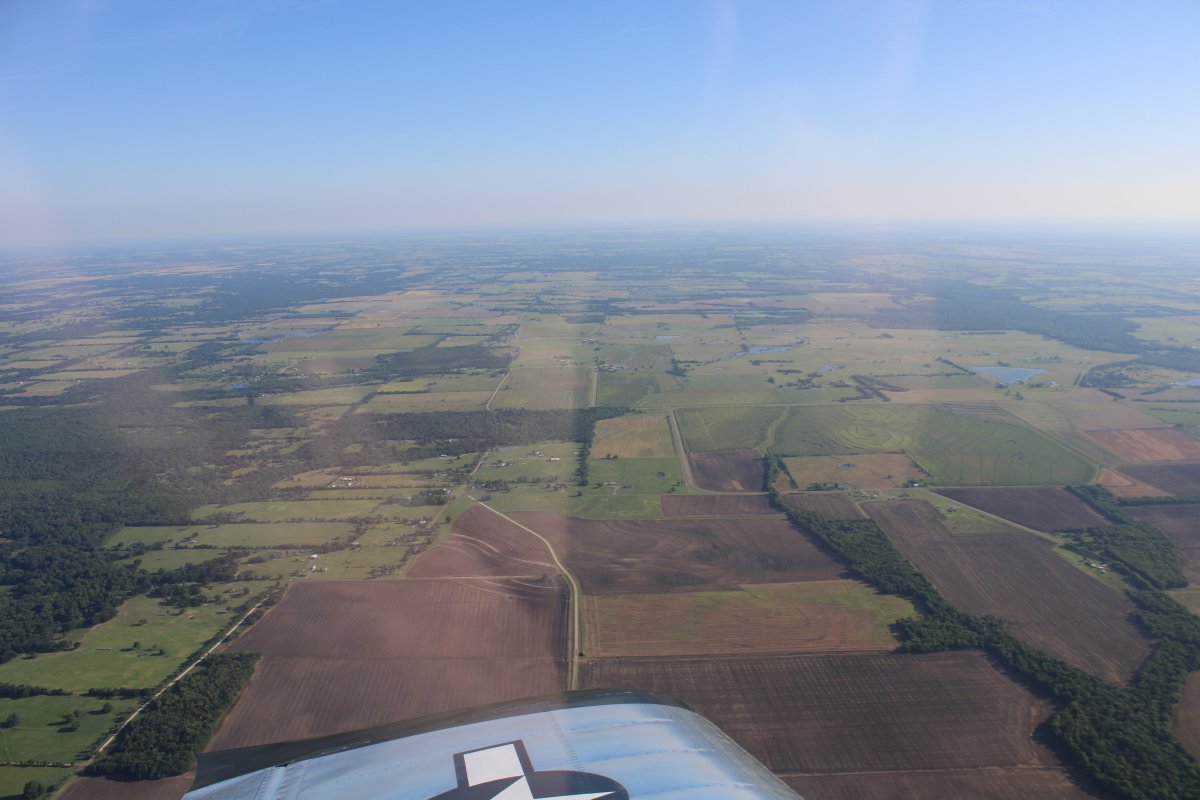
For now I just headed east over green East Texas.
|
| |
 |
|
|
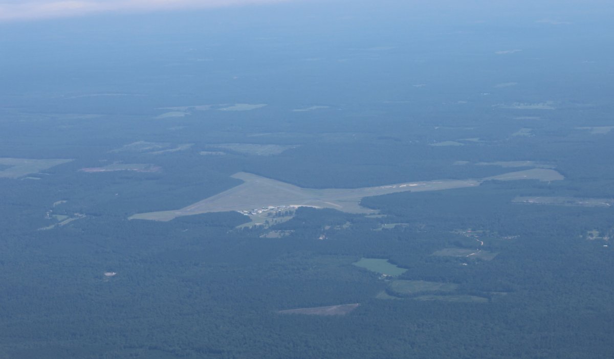
Flying by Franklin County airport, Mt. Vernon, Texas.
|
| |
 |
|
| Passing by the Red River in Arkansas. Looks like a fun river to fly. I'll have to fly it someday. |
| |
 |
|
|
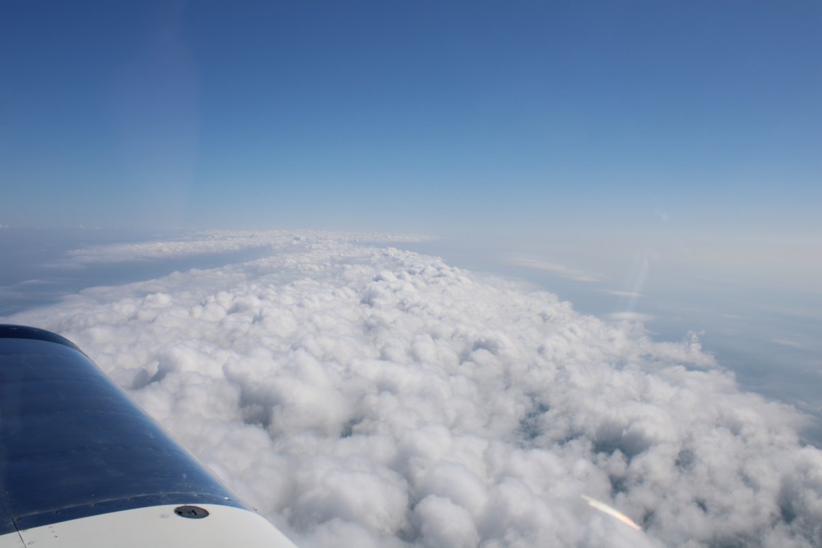
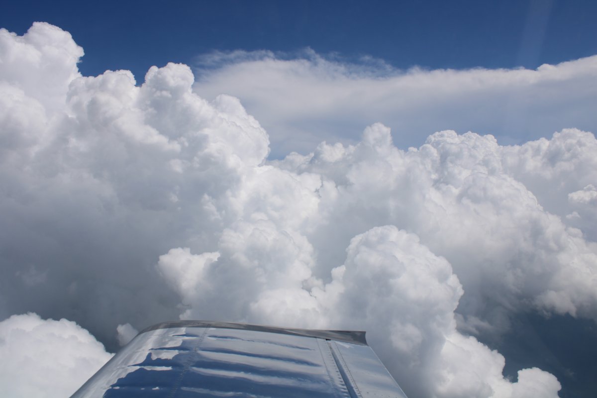
A freak band of clouds running north to south.
|
| |
 |
|
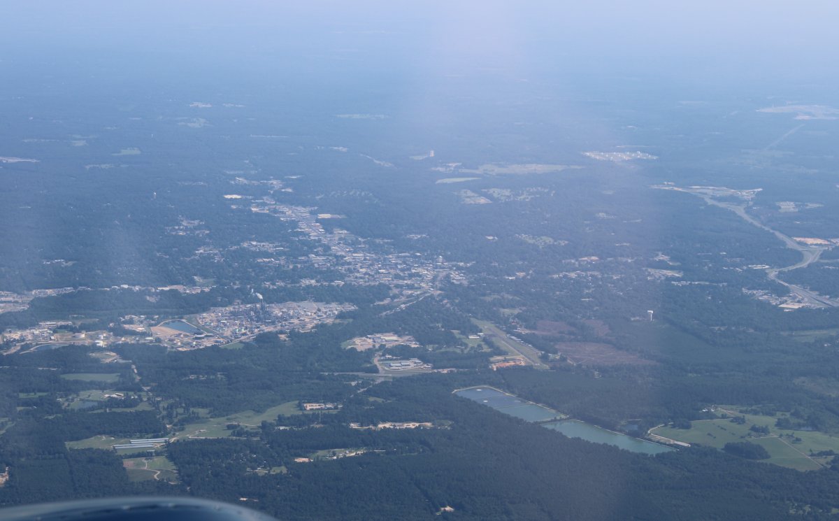
| In a sea of trees, I pass by South Arkansas Regional Airport (KELD) near El Dorado, Arkansas. El Dorado, with John Wayne, Robert Mitchum, and James Caan, made in 1966, is one of my favorite movies. But this Arkansas El Dorado is not the El Dorado of the movie which was filmed on location in Tucson, Arizona and Kanab, Utah. Could it have been filmed in that little western town I flew by near the Benton airport? But I digress. |
| |
 |
|
| Speaking of El Dorado, there it is. |
| |
 |
|
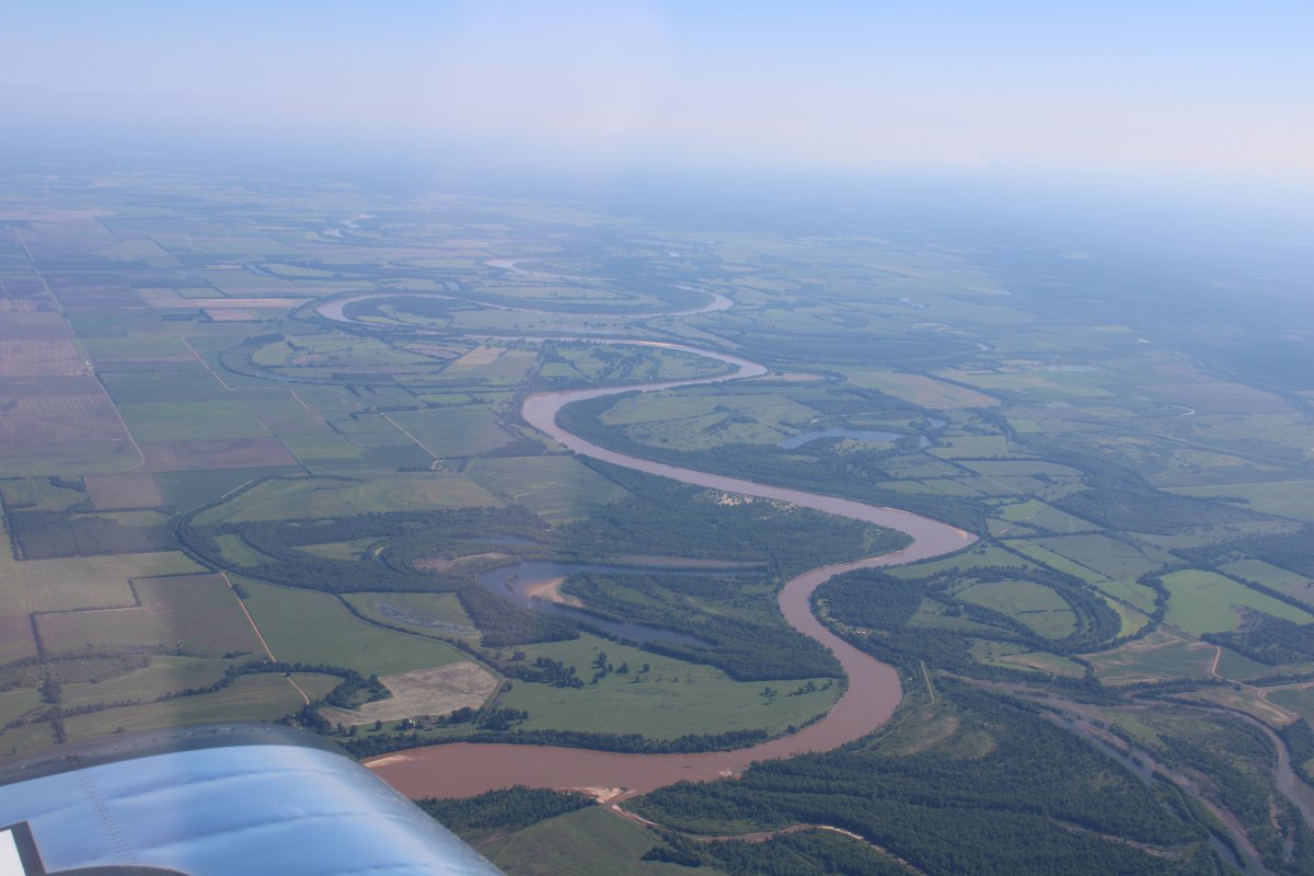
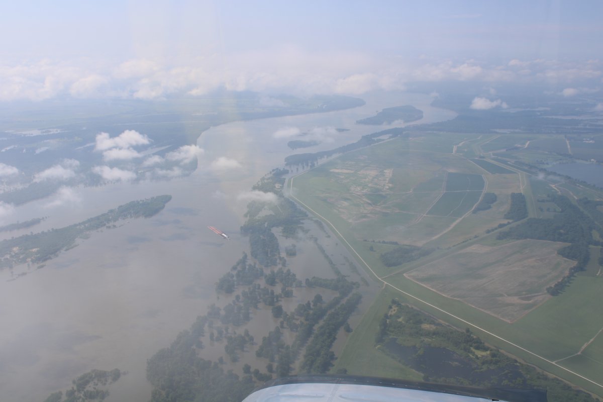
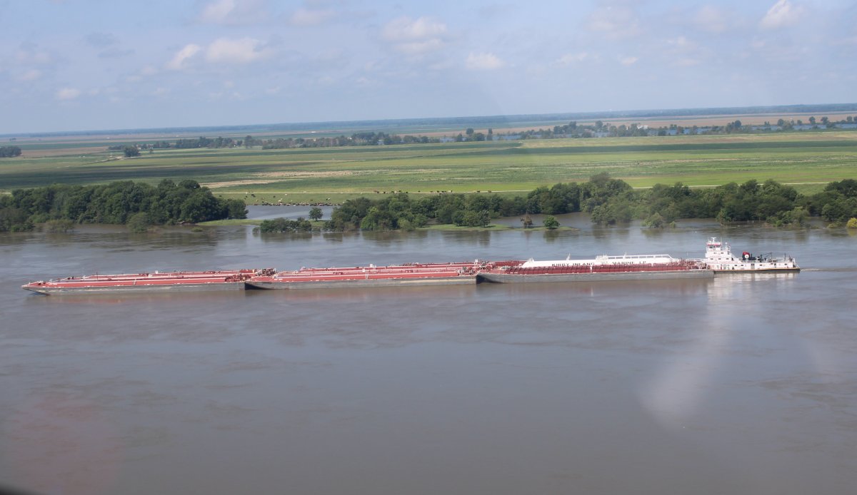
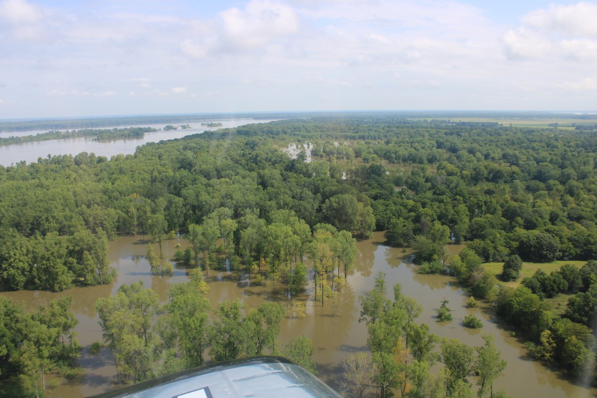
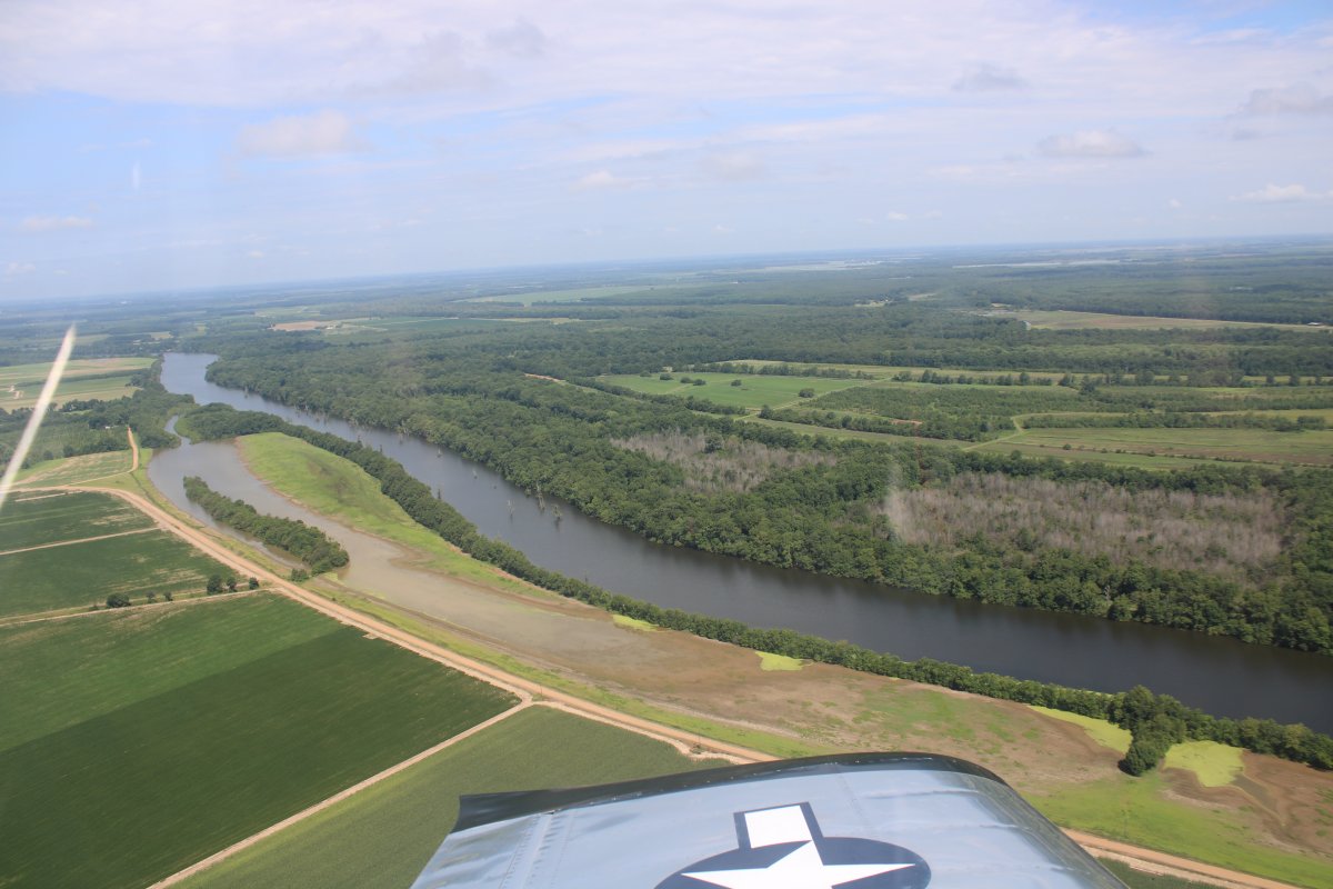
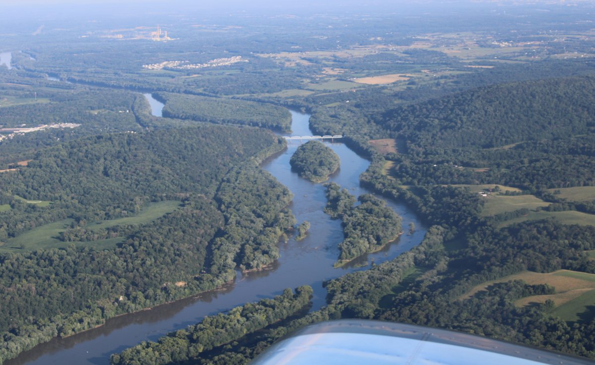
| High above the mighty Mississippi River. So hazy. This is no good. Notice the Tow pushing some barges. |
| |
 |
|
|
Descending to have a better look.
|
| |
 |
|
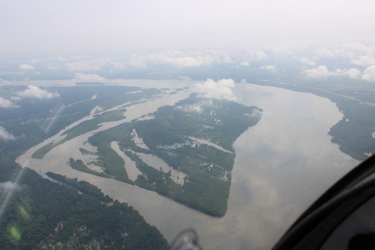
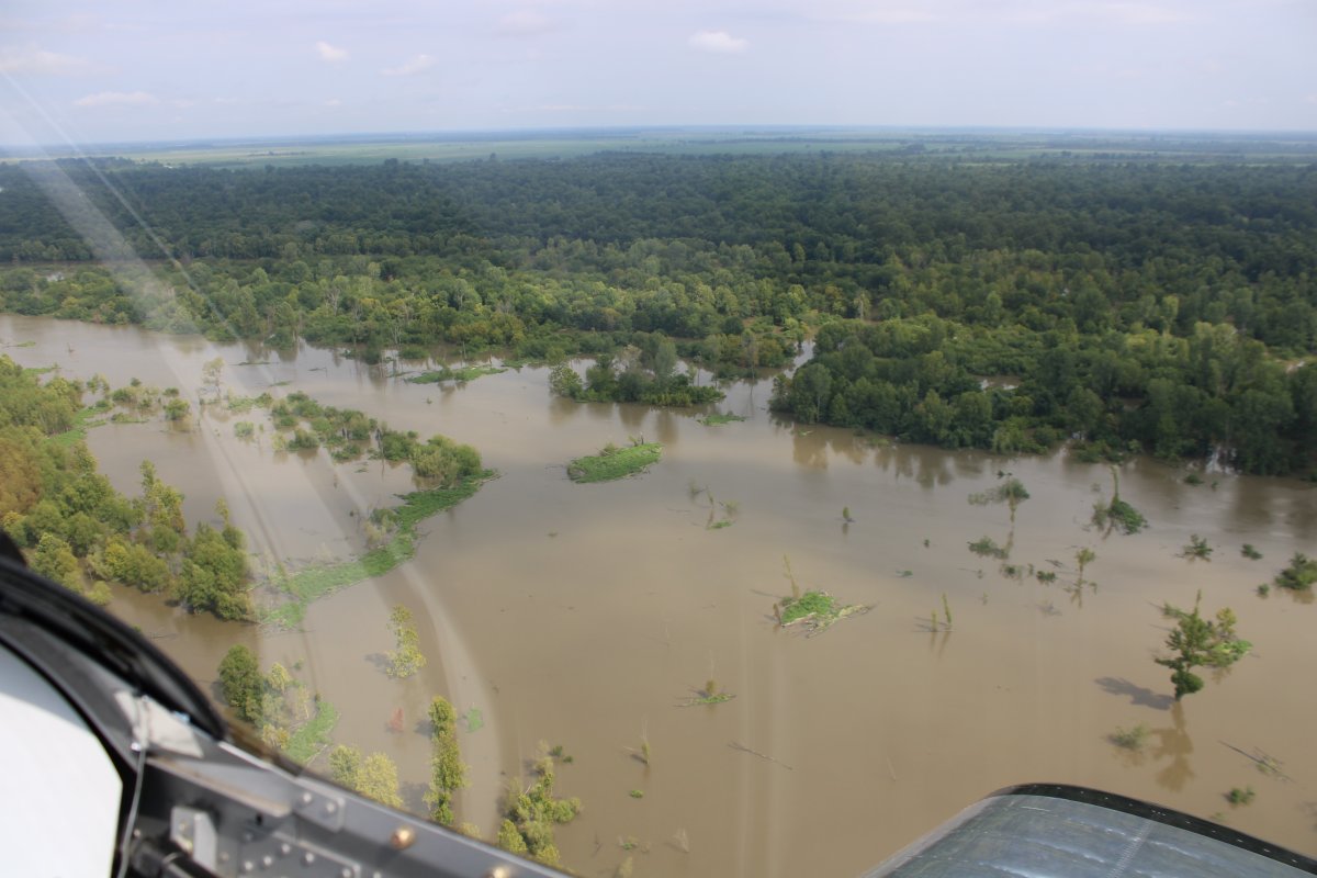
| OK, this is more like it! Looks like the river is very high. |
| |
 |
|
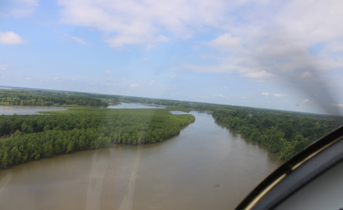
| Playing around. |
| |
 |
|
|
Flying the Mississippi is on my short Bucket list of flying adventures.
|
| |
 |
|
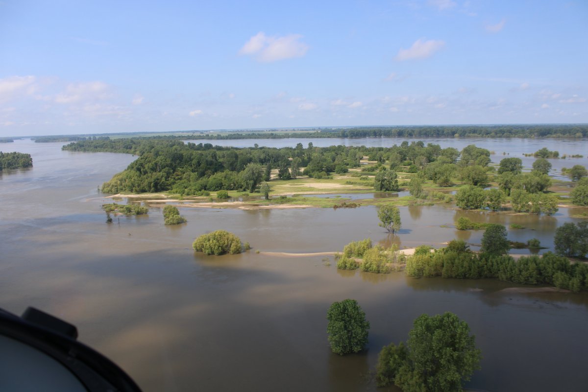
| Passing by that Tow pushing three barges. |
| |
 |
|
|
I could fly the river all day but I have to keep moving. I turn east and climb a little.
|
| |
 |
|
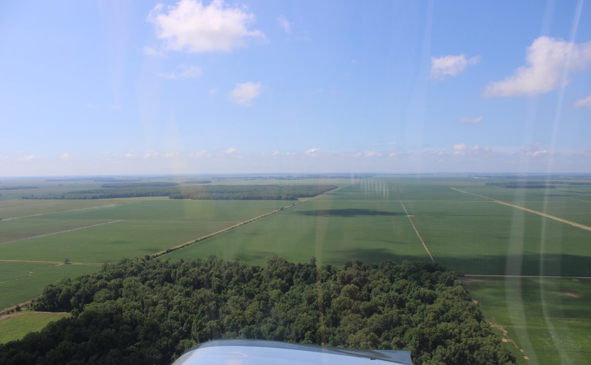
| Now I'm in Mississippi. The terrain has changed from forest to vast open farm fields. |
| |
 |
|
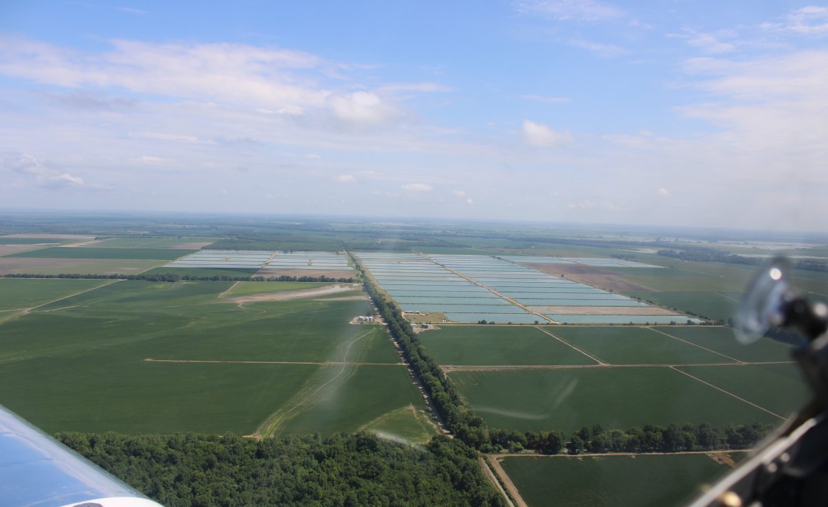
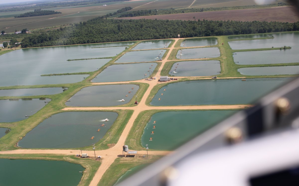
| And Catfish farms. |
| |
 |
|
| These are labeled Fish Hatcheries on the aerochart. |
| |
 |
|
|
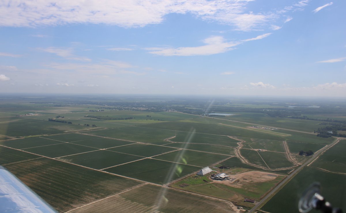
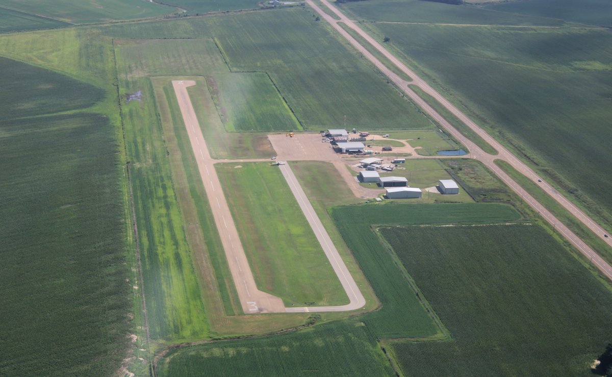
Approaching my destination: Belzoni, Mississippi.
|
| |
 |
|
| Overhead Belzoni Municipal Airport (1M2) which is just southwest of town. I think this is mostly a crop duster field. |
| |
 |
|
|
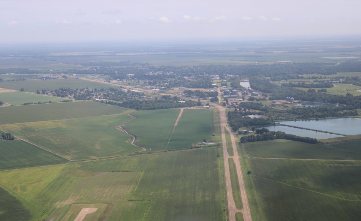
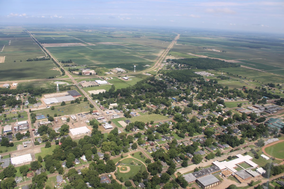
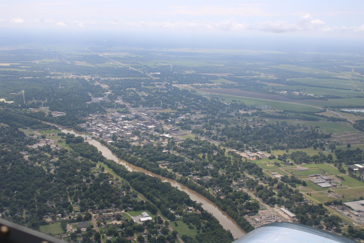
Approaching Belzoni from the south.
Belzoni is the small town my Mom grew up in. From my Uncle's book on his childhood memories: "Belzoni was a small, quiet town in the '40s and 50s with a population of close to 4,000."
In 2017, the population was estimated to be 1,975.
|
| |
 |
|
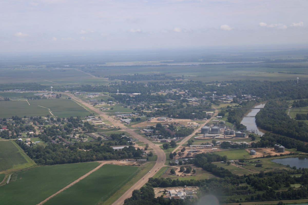
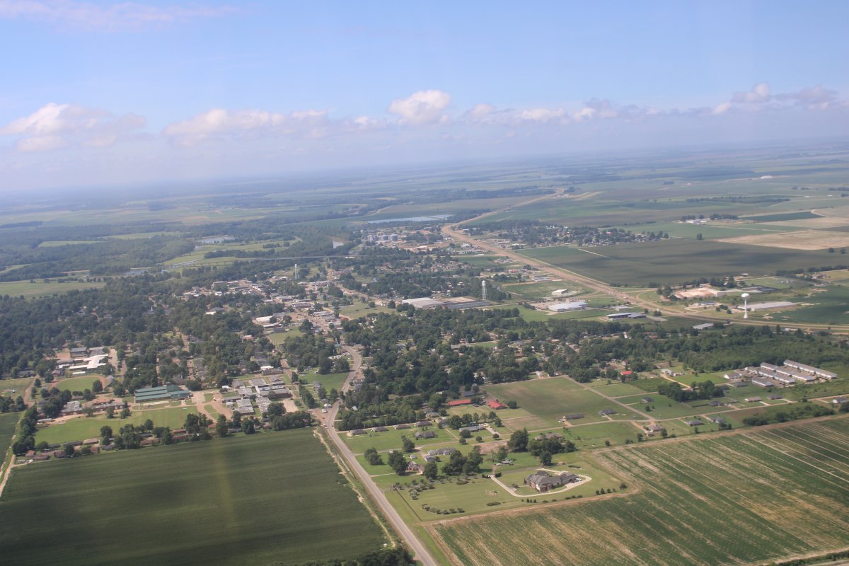
| The Yazoo River curves off to the right. |
| |
 |
|
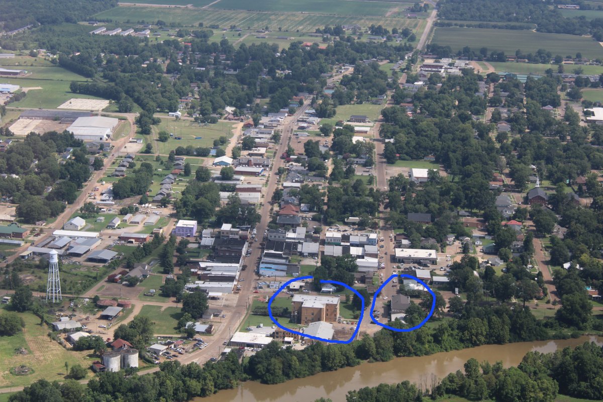
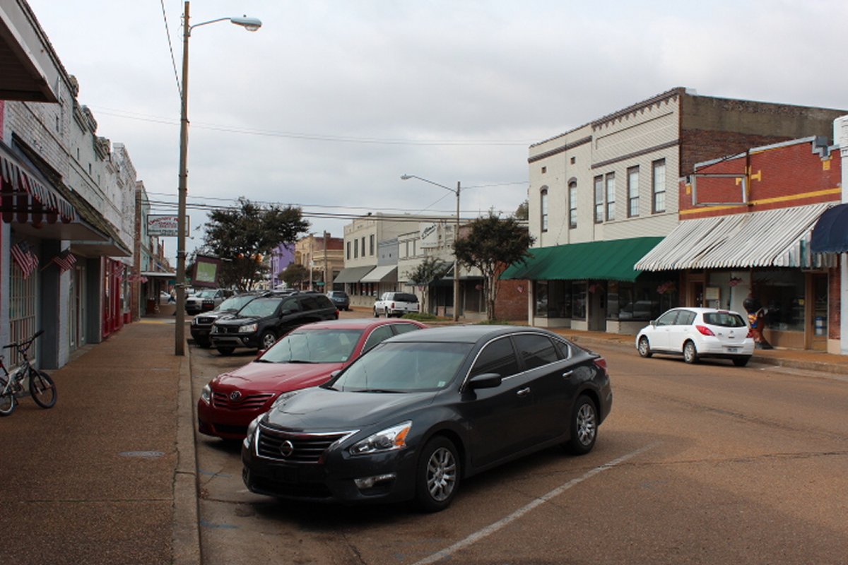
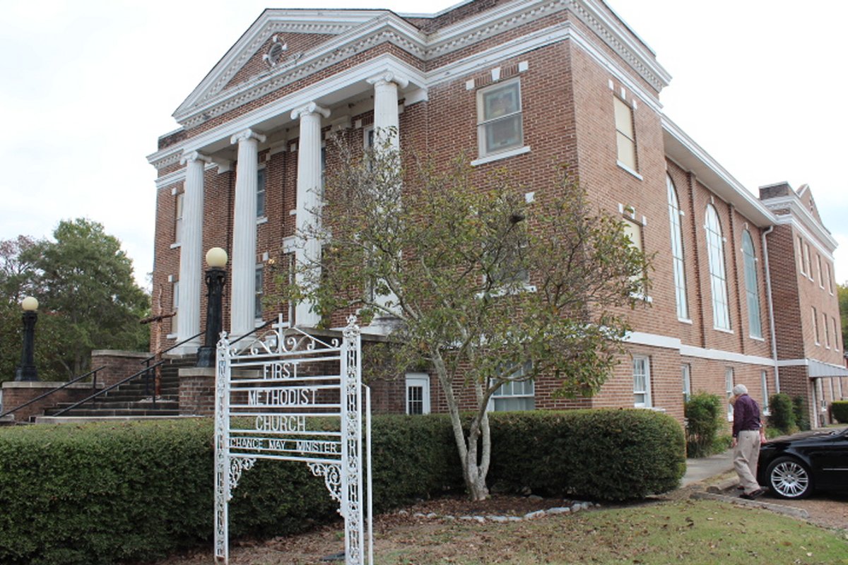
| Looking north down Main Street. The large -- for Belzoni -- building circled on the left is the Humphreys County Courthouse. The building circled on the right is the First United Methodist Church where my parents were married. My Mom's house was down the street to the right of the church. |
| |
 |
|
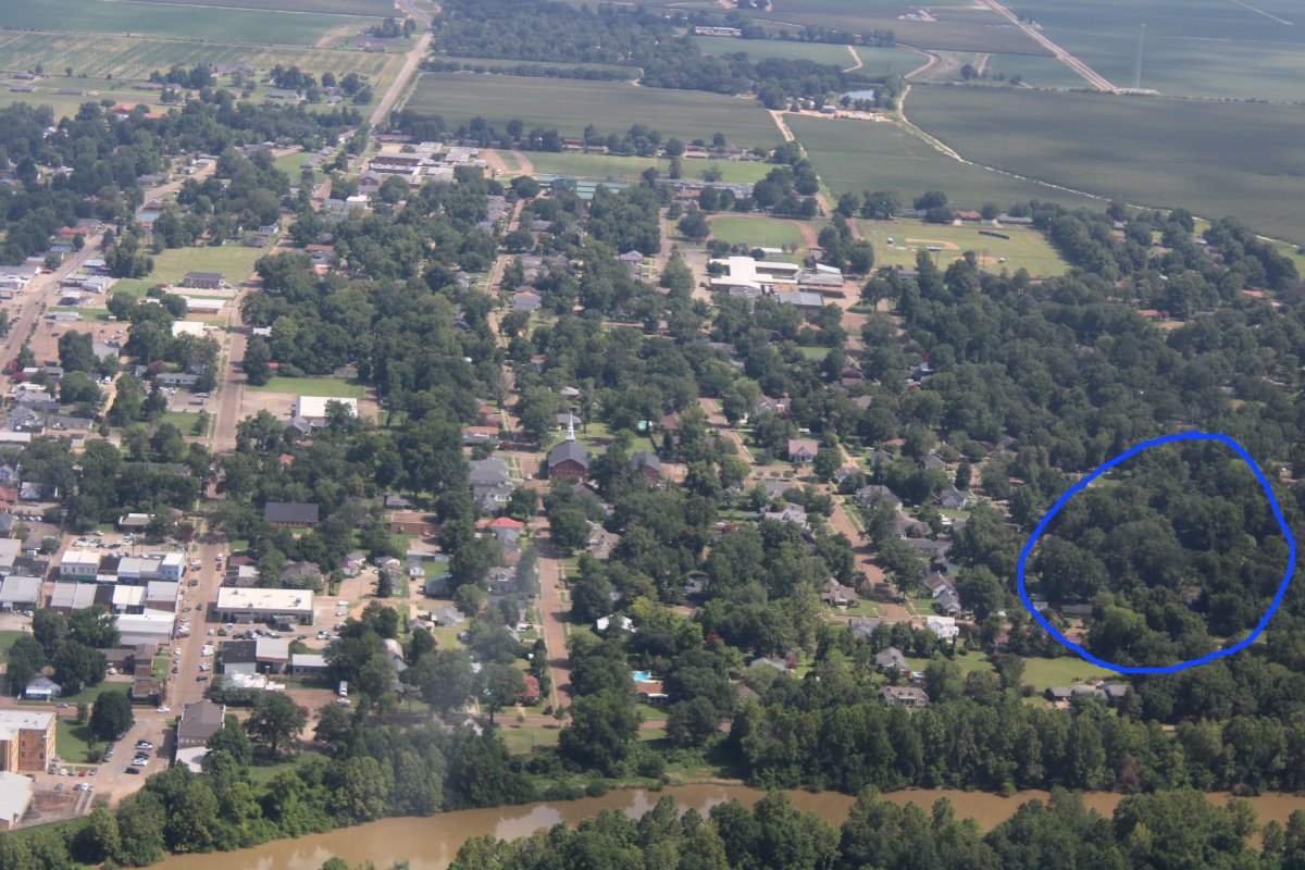
| Underneath those trees in the blue circle is about where the house is my Mom grew up in on Sunflower Avenue. The lot where the house stood is now vacant. |
| |
 |
|
|
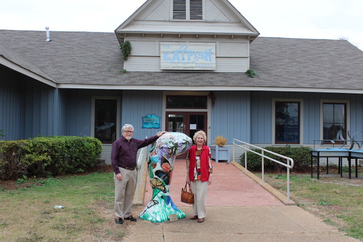
My Mom's brother, Parham, still lives in Mississippi. My sister Susan and my Mom drove down to visit Uncle Parham a couple of years ago and they did a day trip to Belzoni. Here are some pics.
This area produces more farm-raised catfish than any other U.S. county. About 40,000 acres of the county are under water in ponds used to grow catfish. About 60% of U.S. farm-raised catfish are grown within a 65-mile radius of Belzoni.
|
| |
 |
|
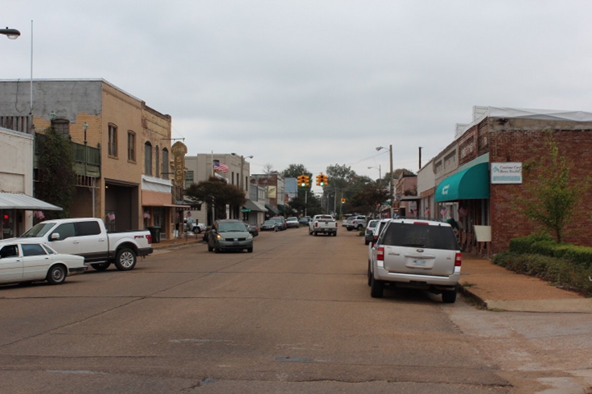
| Main Street |
| |
 |
|
| Another shot of Main Street. |
| |
 |
|
| The First Methodist Church were my Mom went to church and she married my Dad in. |
| |
 |
|
| Uncle Parham and Mom standing by a decorated fiberglass catfish. |
| |
 |
|
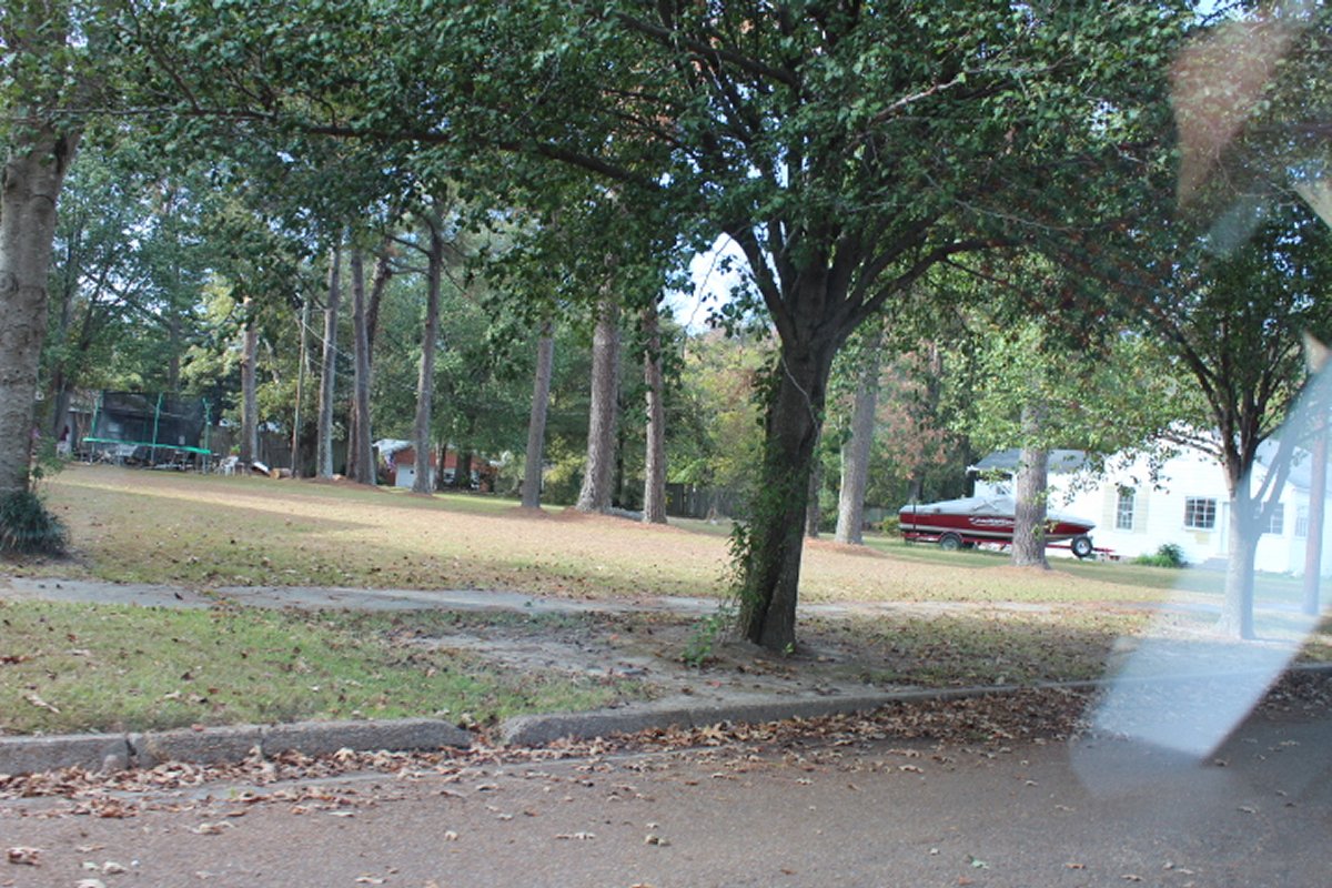
| This lot is where the house Mom and Uncle Parham grew up in stood. Long after it had been sold, it burned down and was never rebuilt. |
| |
 |
|
|
Highway 49 heads northwest out of town.
|
| |
 |
|
| Looking south at Belzoni. |
| |
 |
|
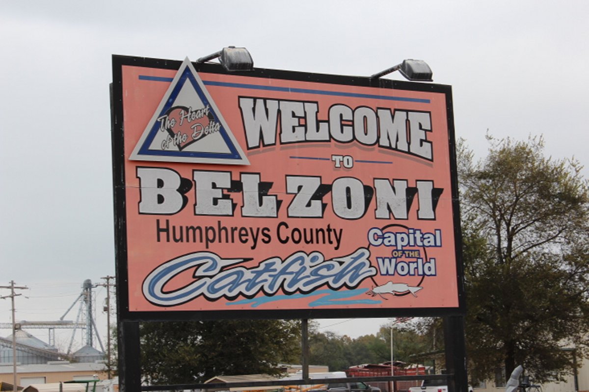
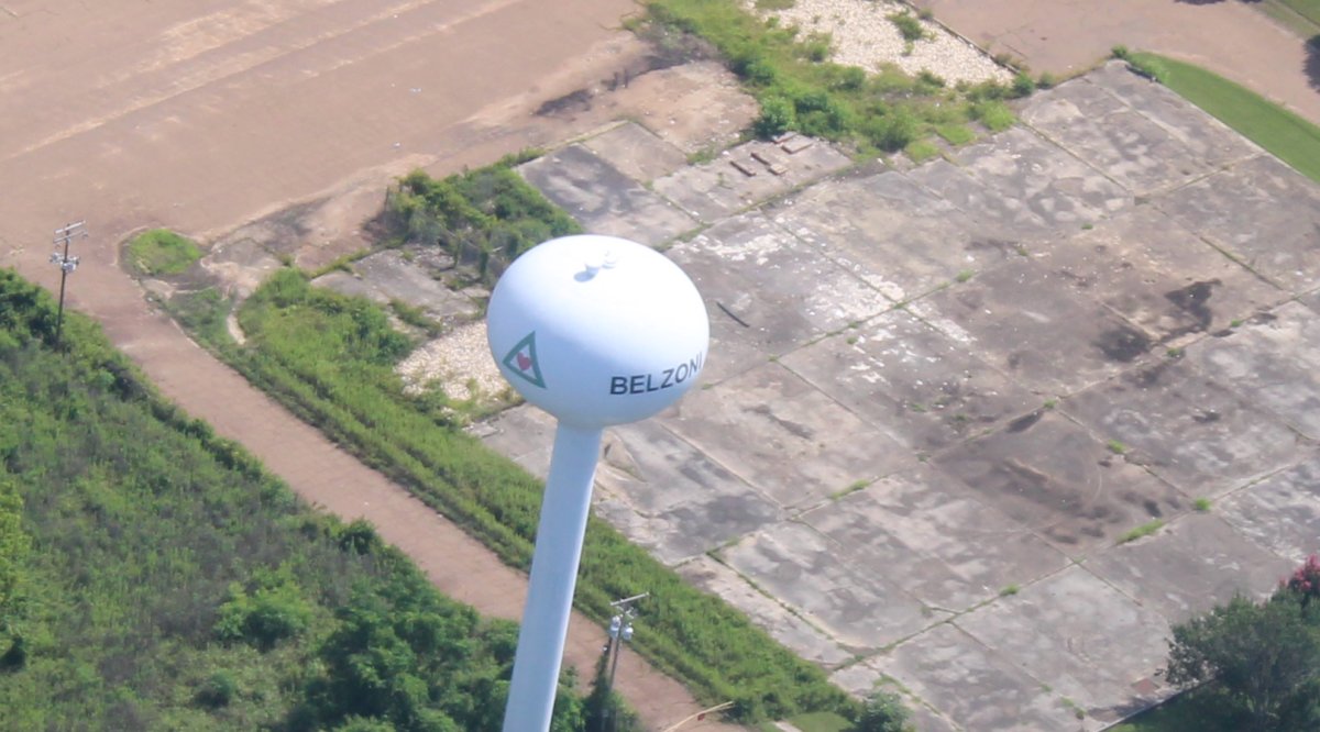
| Proof that the town is indeed Belzoni. |
| |
 |
|
|
Now turning northeast, heading for Shiloh.
|
| |
 |
|
| A close-up of a Catfish farm. This is big business here in what they call the "Delta". |
| |
 |
|
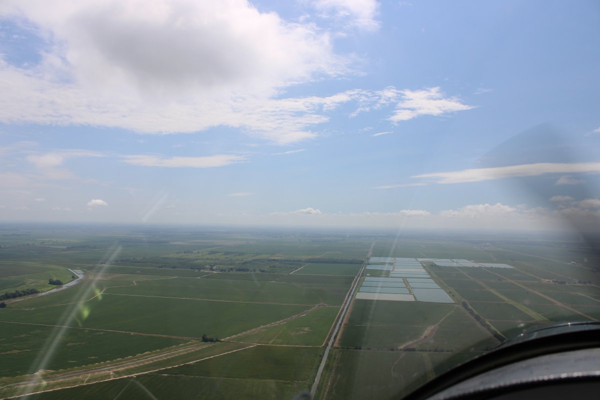
| Passing by Greenwood, Mississippi. |
| |
 |
|
|
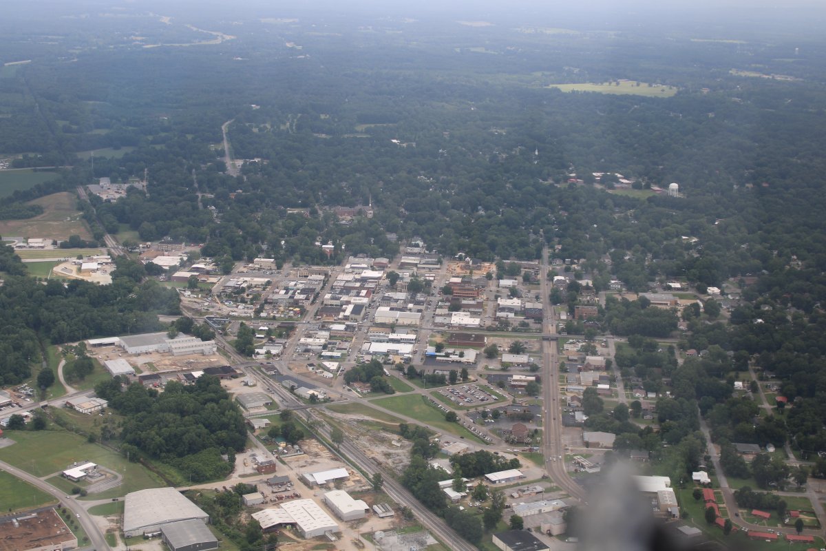
Passing by Corinth, Mississippi.
|
| |
 |
|
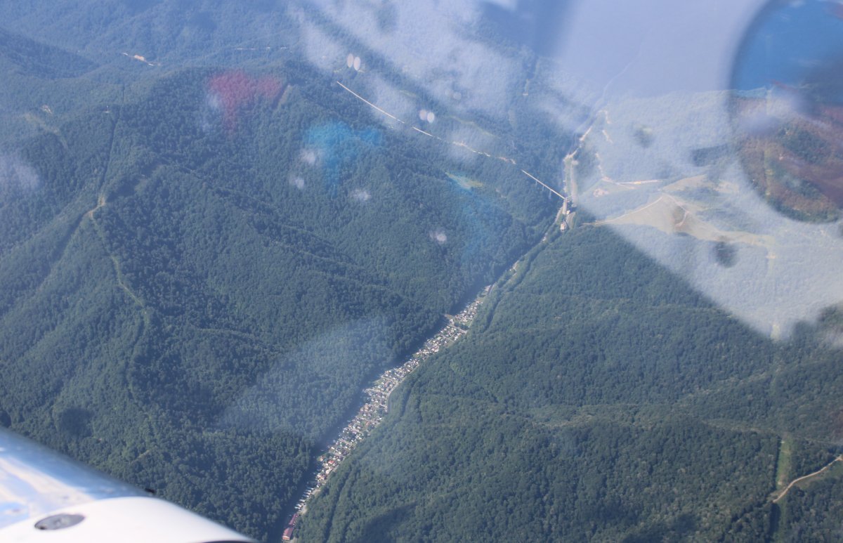
| Looking northeast from Corinth. In early April, 1862, this is the path the Confederate Army with General Albert Sidney Johnson in command travelled for their surprise attack on Grant's army at Shiloh (Pittsburg Landing) on the Tennessee River. Nothing but forest then and nothing but forest now. |
| |
 |
|
|
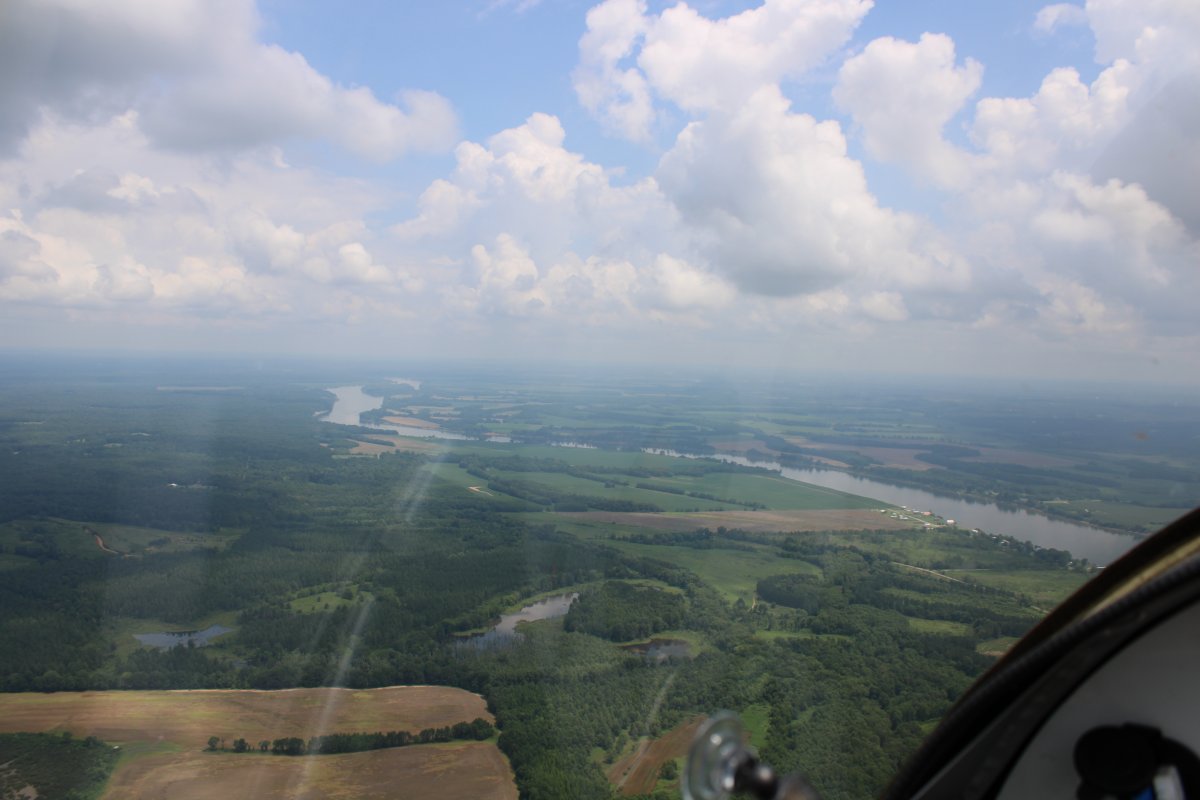
Approaching the Tennessee River.
|
| |
 |
|
| Pittsburg Landing where the Confederates shoved the Union troops back into a defensive perimeter. |
| |
 |
|
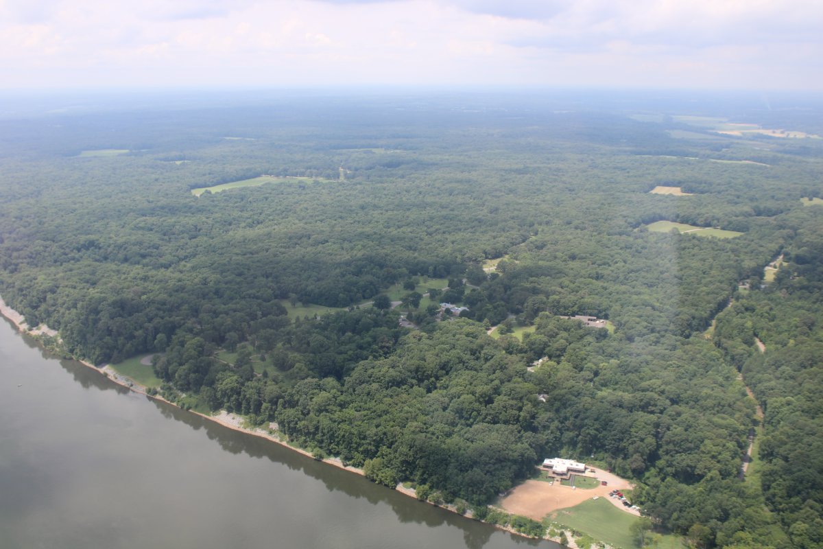
| Looking southwest where most of the battle took place. The Visitor's Center is at center, slightly down. The Confederates achieved surprised and pushed the Union forces back to around where the Visitor's Center is and the waterfront area. |
| |
 |
|
|
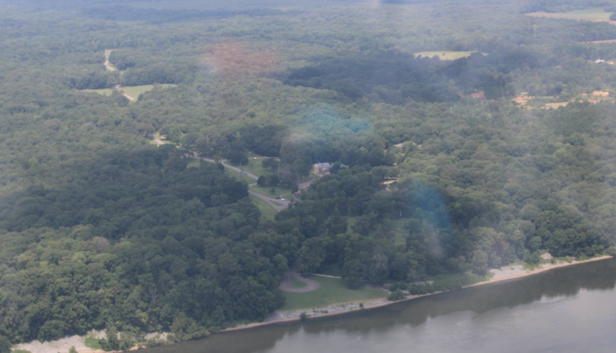
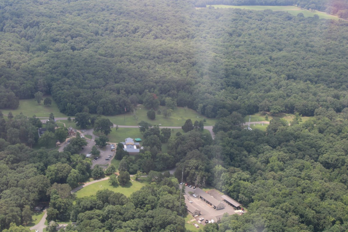
A close-up of the Visitor's Center.
|
| |
 |
|
|
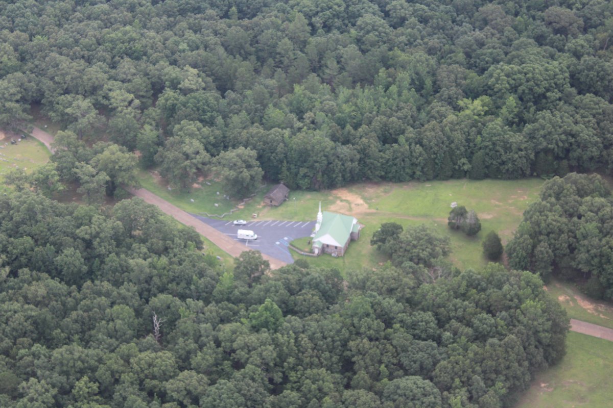
The Shiloh church where heavy fighting took place.
Although hurt, Grant's army hung on that first day, and that night, received reinforcements. The next day Grant took the offensive and drove the Confederates back to their starting positions. Both sides suffered heavy losses in the two day battle. Bloody Shiloh was a shock to both sides. Says Jeff Shaara: "A combined total of nearly twenty-four thousand men are killed, wounded, or missing in a battle in which nothing of significance is gained by the victor. The war does not end, no great cities are captured, no treasured landmarks change hands. For two days, two armies stand face-to-face and massacre each other across a stretch of rural Tennessee countryside. Shiloh is the first big of graphic evidence that the cost of this war will in fact be much higher and much more horrible than anyone could have previously imagined."
|
| |
 |
|
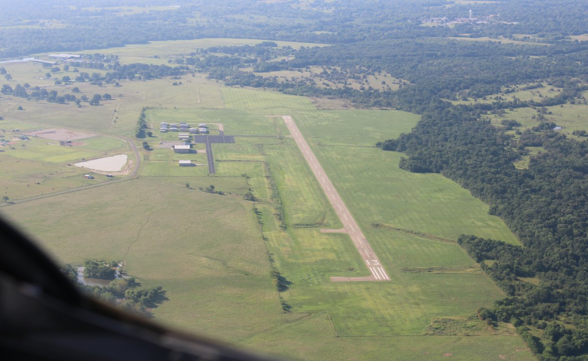
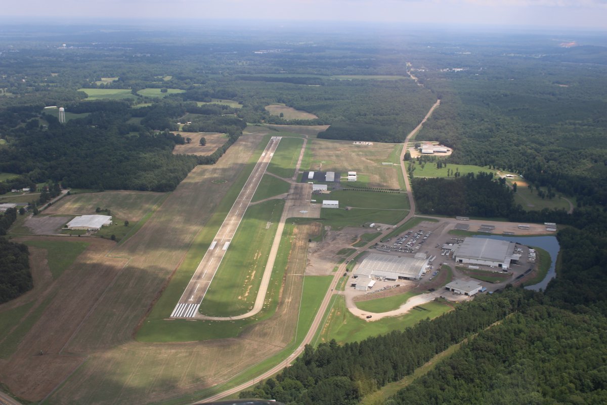
| I stopped at nearby Savannah-Hardin County Airport (KSNH) for gas. I borrowed their courtesy car and went to a place called "The Outpost" for lunch. This airport would be a good place for an overnight stop. But I had to keep moving. |
| |
 |
|
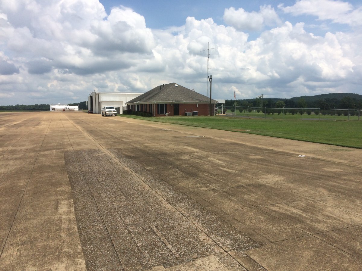
| On the ground at Savannah Airport in Tennessee. Nice airport. |
| |
 |
|
|
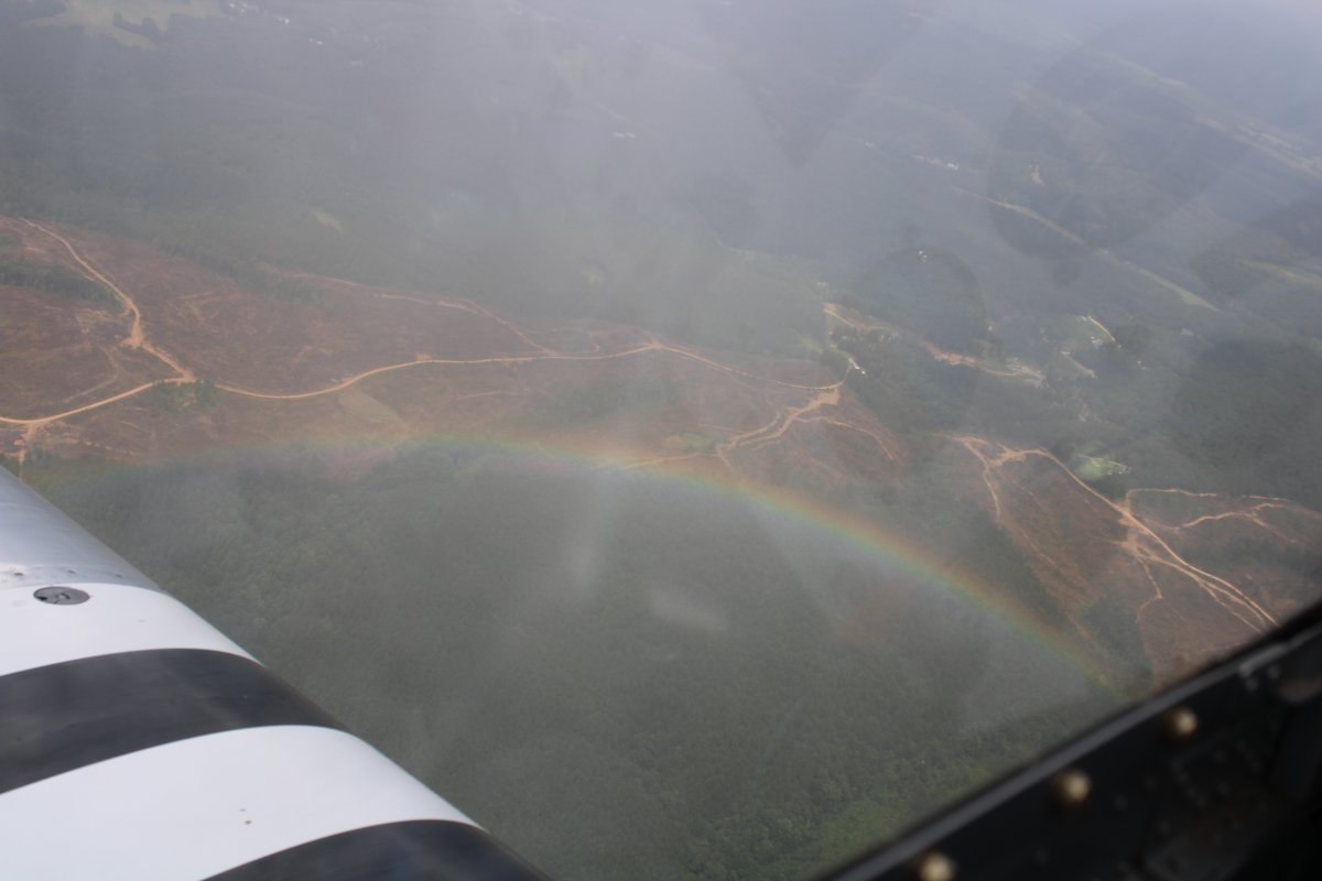
I took off and put Baltimore in the GPS. The weather looked good for the flight home so I figured I'd give it a shot. There was weather just to the southeast of my route. I did get rained on a little. See the below rainbow.
|
| |
 |
|
| I climbed up to 7,500 and my airspeed picked up dramatically, which I hadn't expected. |
| |
 |
|
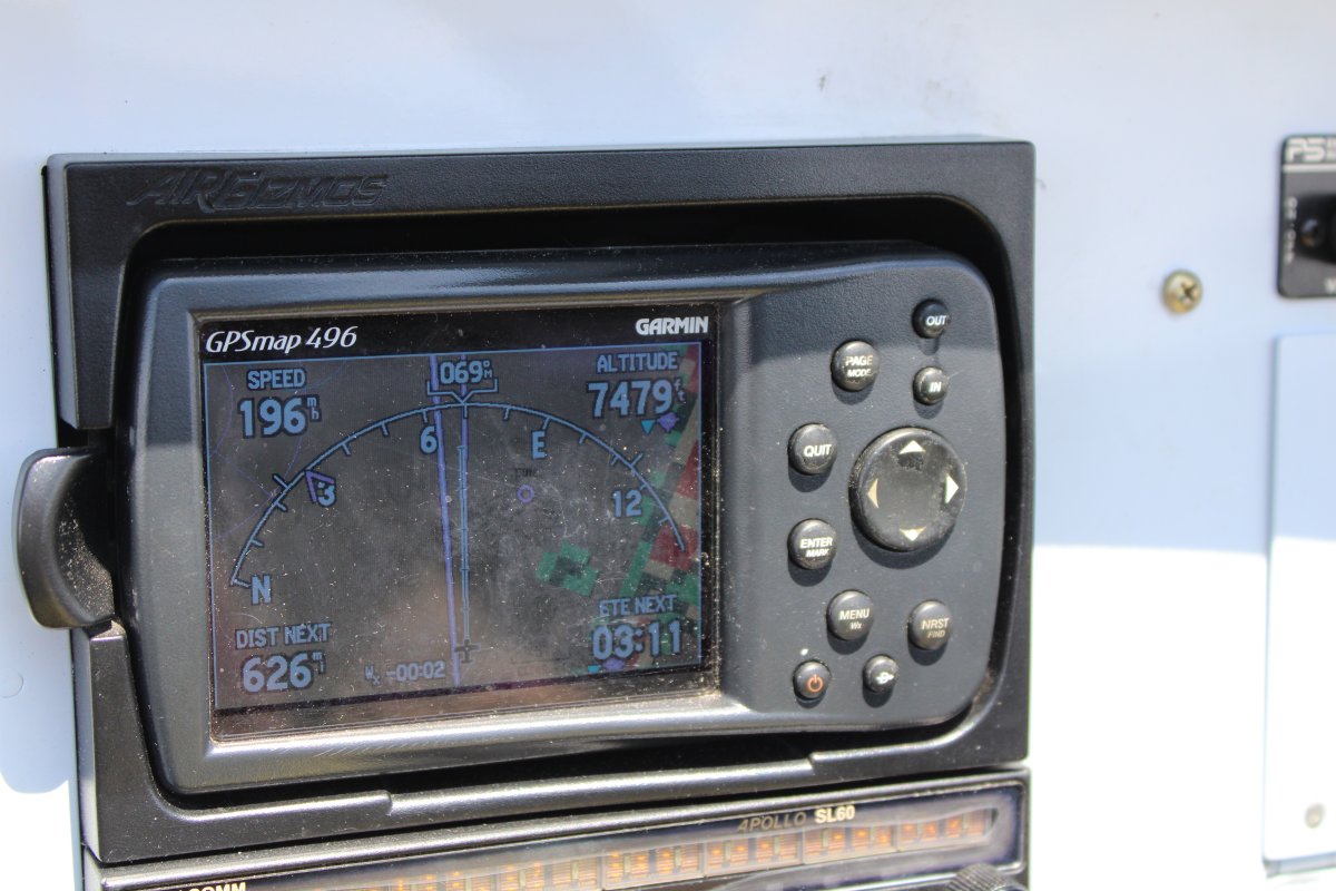
|
Almost 200 mph! This would get me home in three hours. Let's do it. Notice the weather showing on my GPS via XM Satellite to my southeast.
|
| |
 |
|
| Look at all the people living in that little valley in the tree-covered hills of Kentucky. |
| |
 |
|
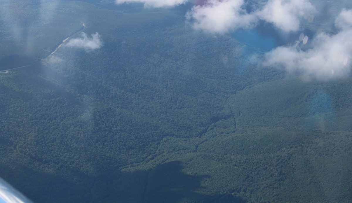
| Nothing but trees. |
| |
 |
|
|
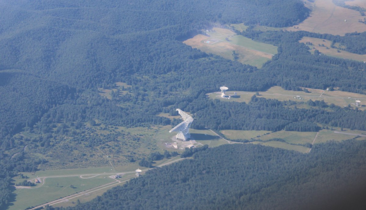
Big satellite antenna in West Virginia.
|
| |
 |
|
| I stopped in Winchester, Virginia to get some gas. |
| |
 |
|
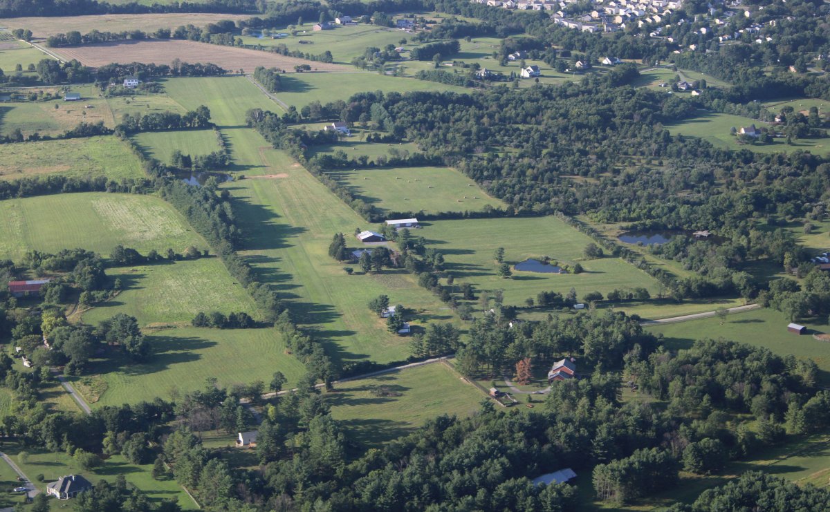
| Flying over Jan Scott's old Flying Cow gliderport. |
| |
 |
|
|
Point of Rocks on the Potomac River.
|
| |
 |
|
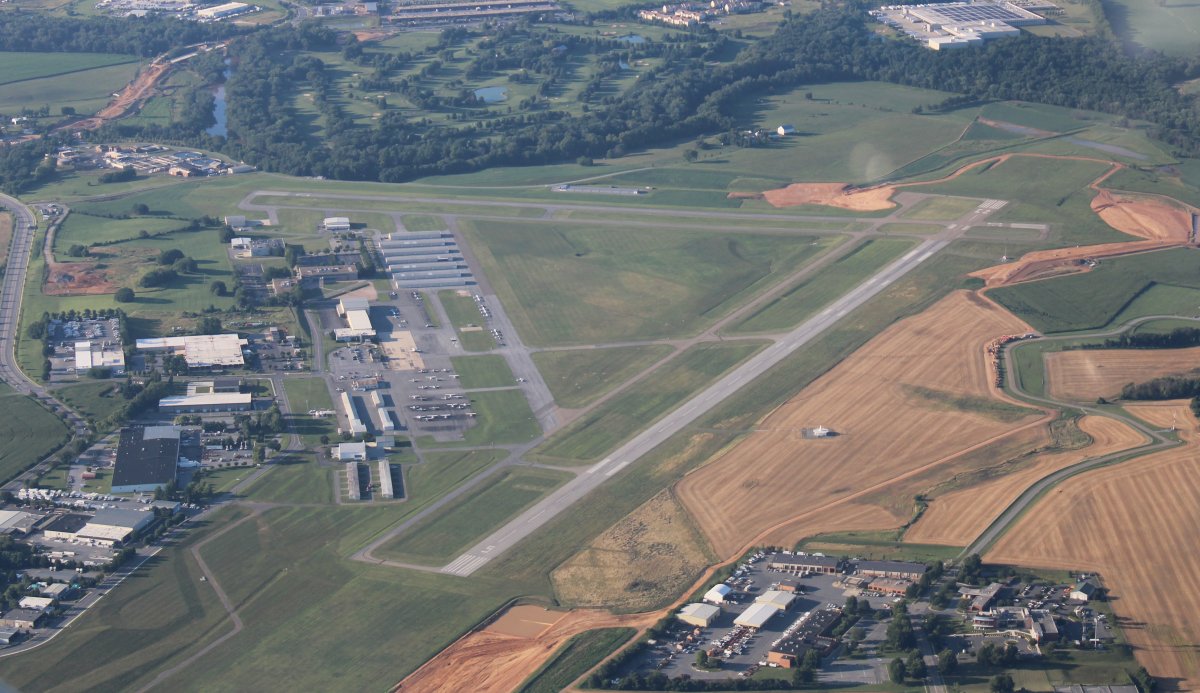
| Frederick Airport, Maryland |
| |
 |
|
|
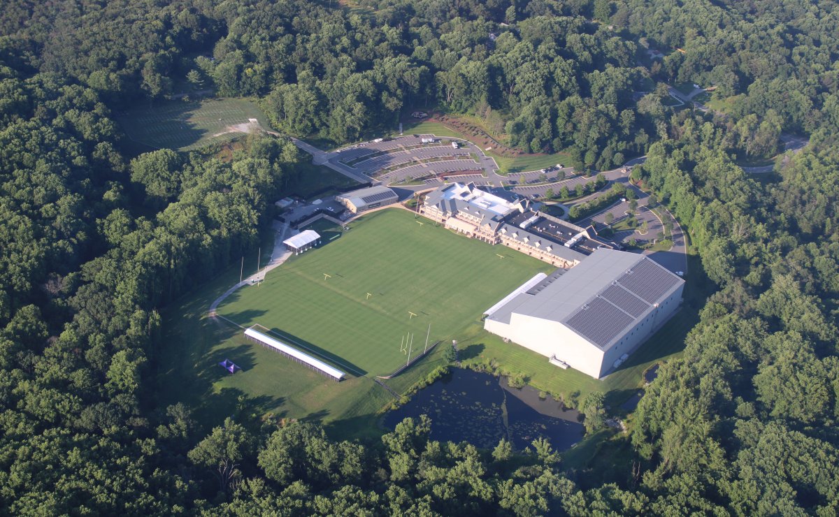
Baltimore Ravens facility.
|
| |
 |
|
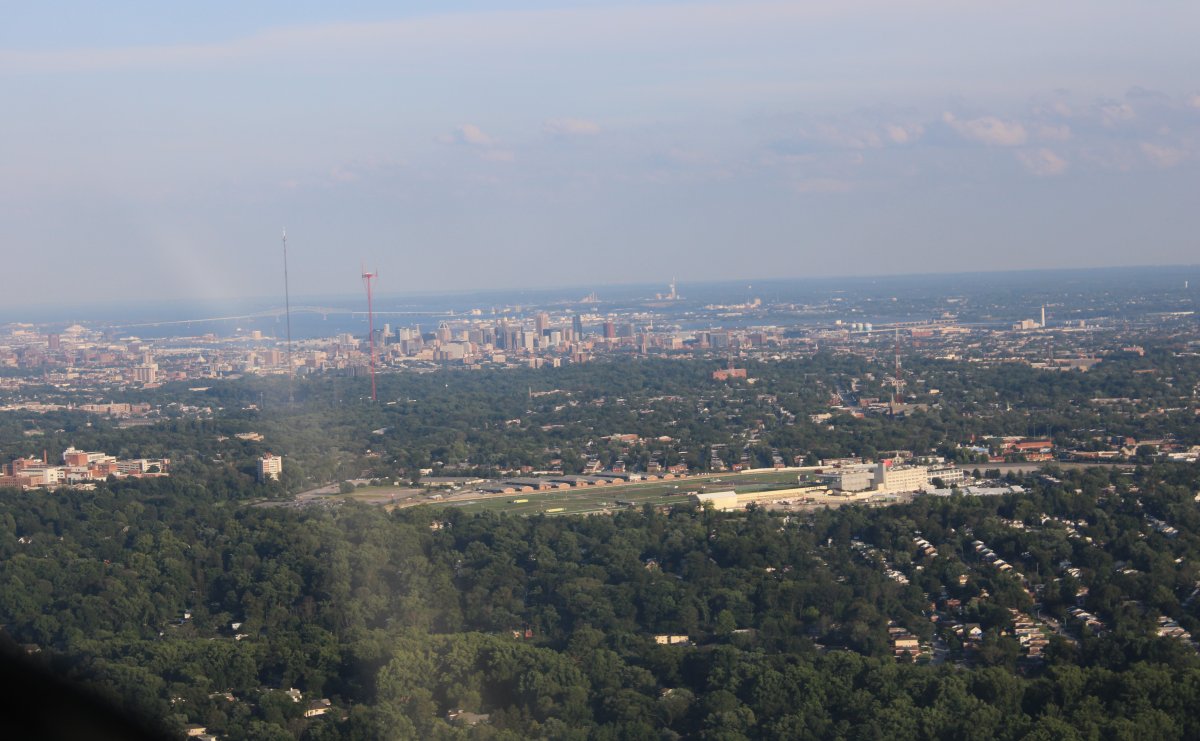
| Approaching Baltimore with the Pimlico racetrack in the foreground. |
| |
 |
|
|
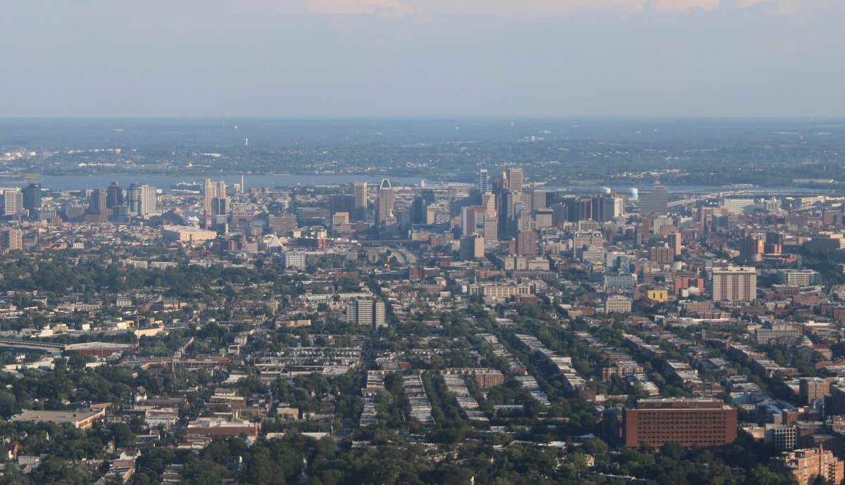
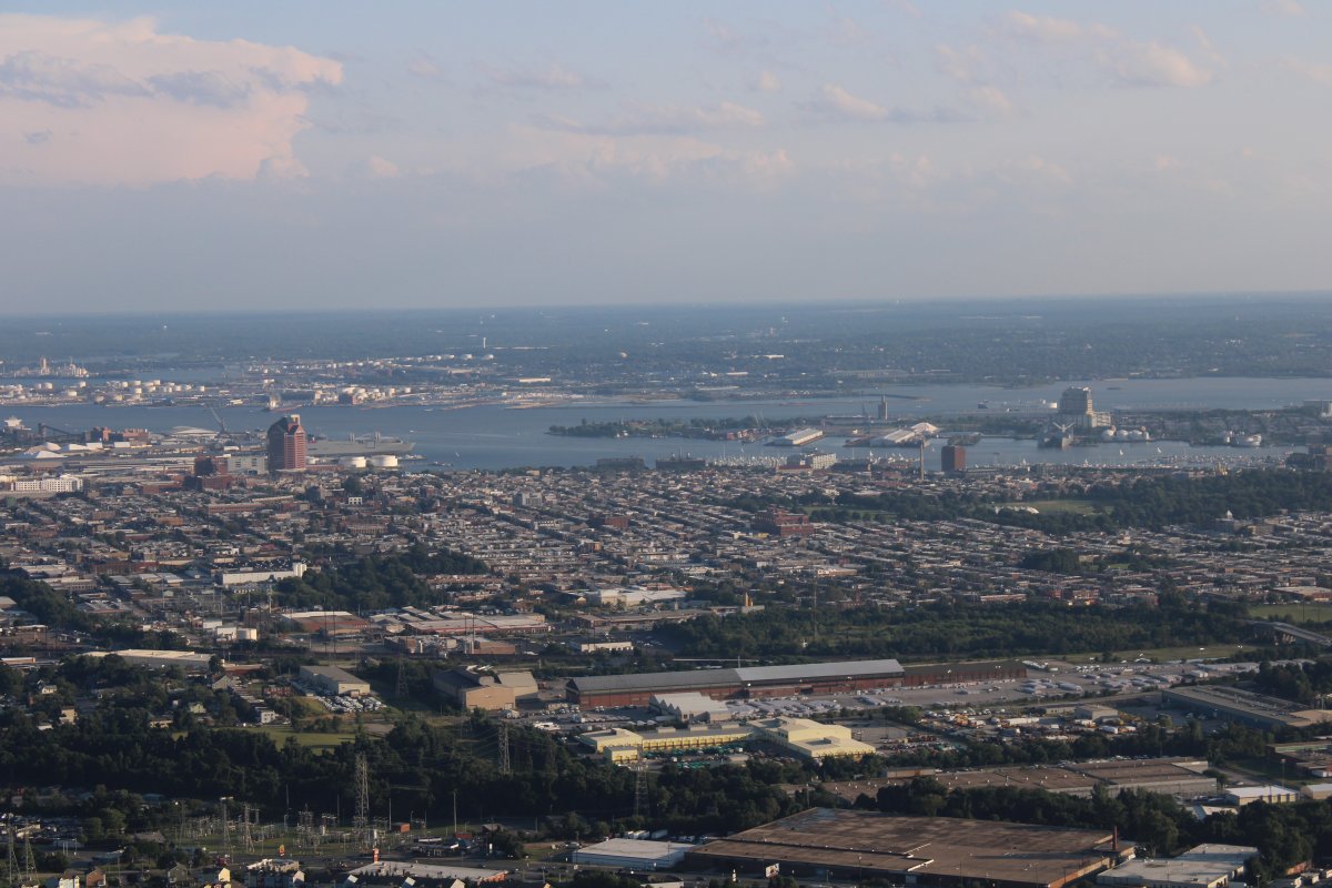
A good look at Baltimore city.
|
| |
 |
|
| Fort McHenry is in the center of the picture. |
| |
 |
|
|
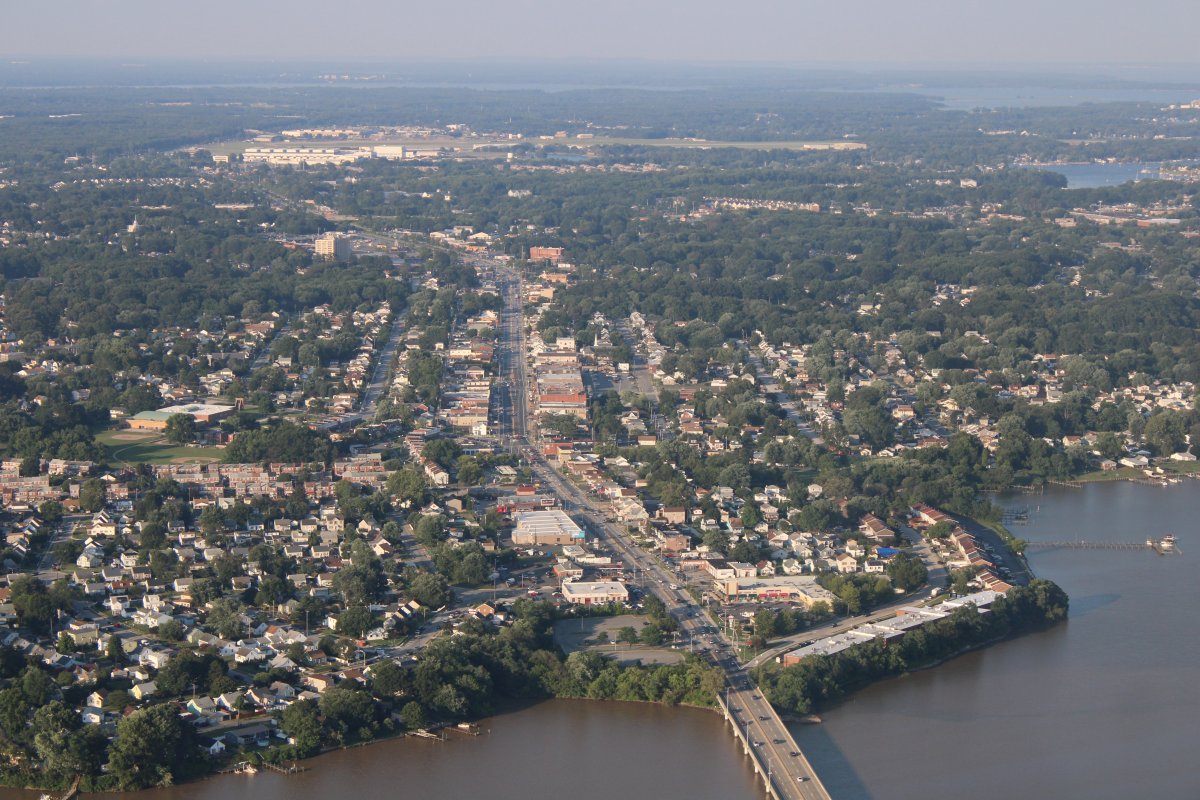
Main street, Essex, Maryland
|
| |
 |
|
|
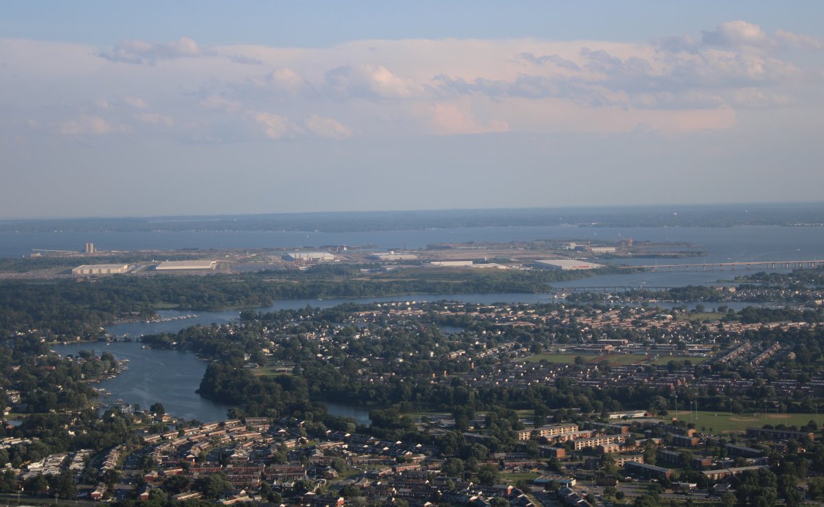
Sparrows Point, once the home of the mighty Bethlehem Steel, is now being covered with giant buildings for FedEx, Amazon and UnderArmor.
|
| |
 |
|
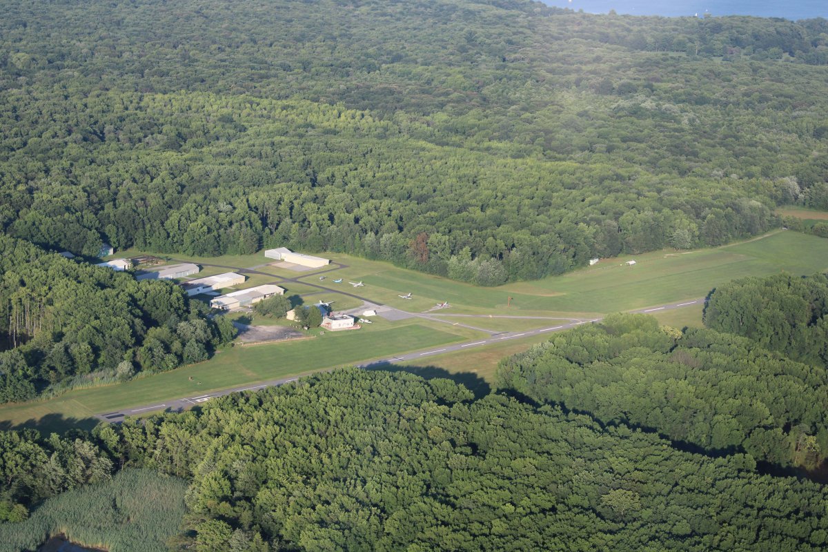
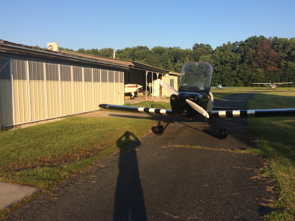
| 67 hours after I began, I arrive overhead Essex Skypark at around 7PM. |
| |
 |
|
| Safe on deck. Mission accomplished! |
| |
 |
|
| |
| |
|
|
|
|
|
|