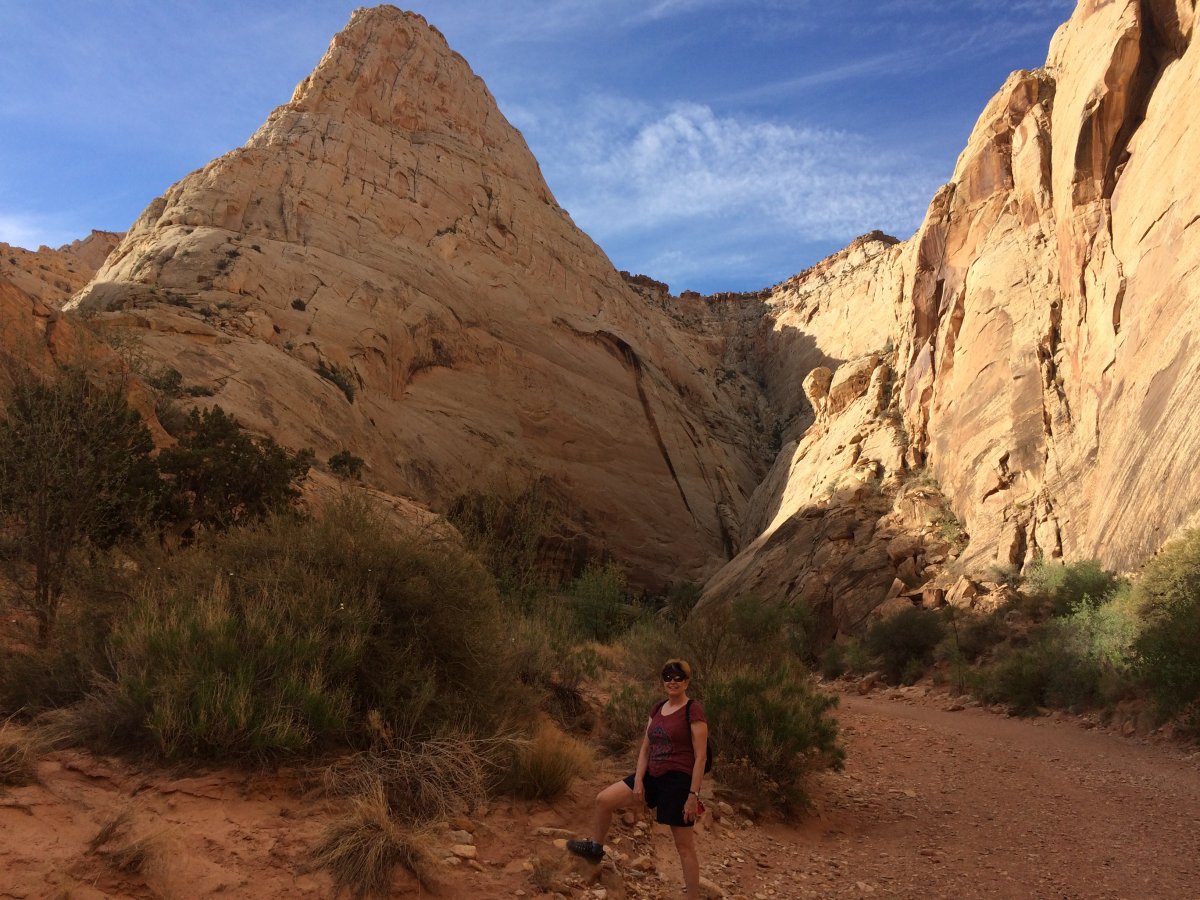
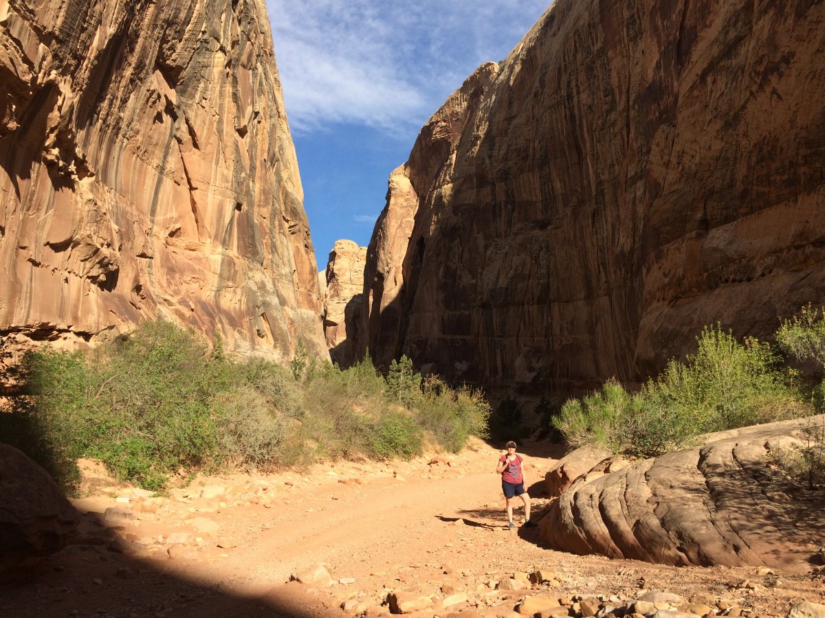
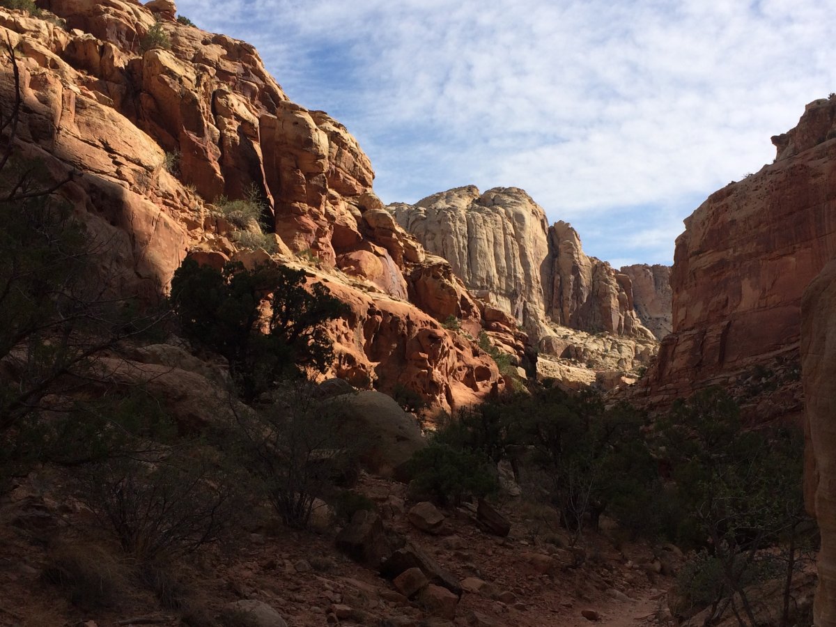
June 28, 2018 - Capital Reef/Escalante/Bryce Canyon
There is that Cougar again!
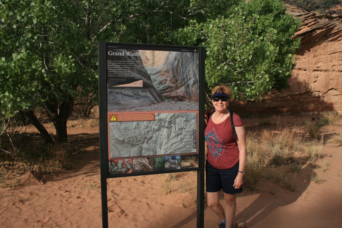
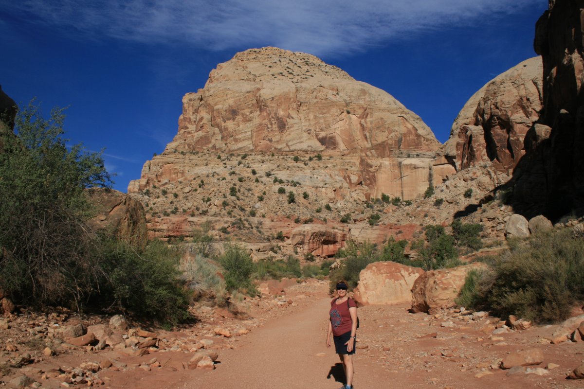
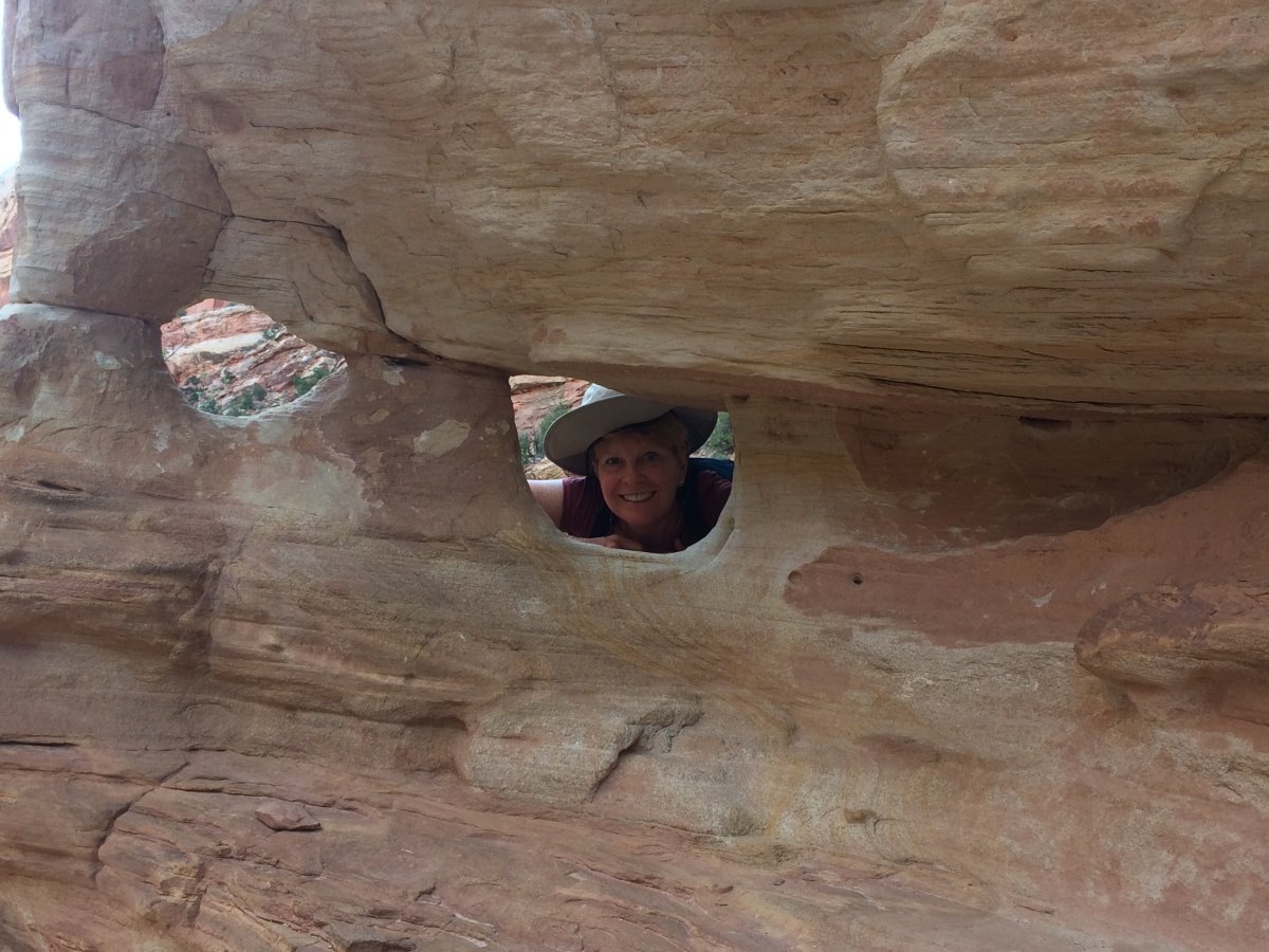
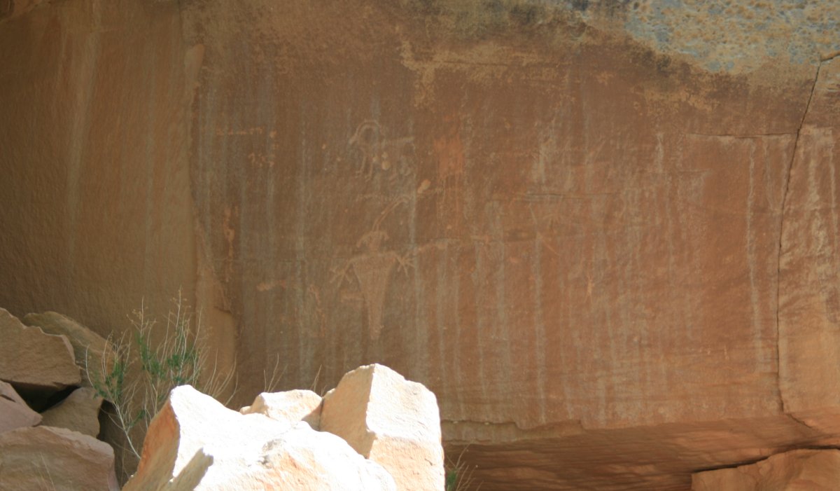
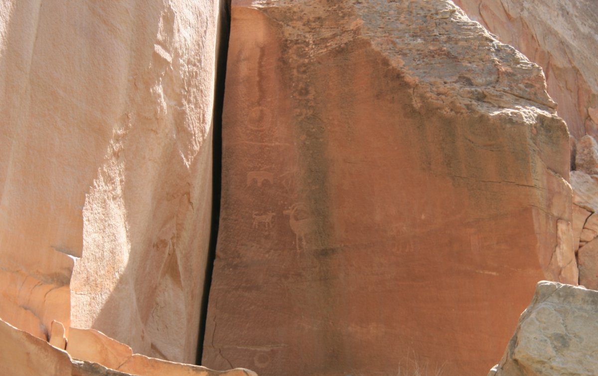
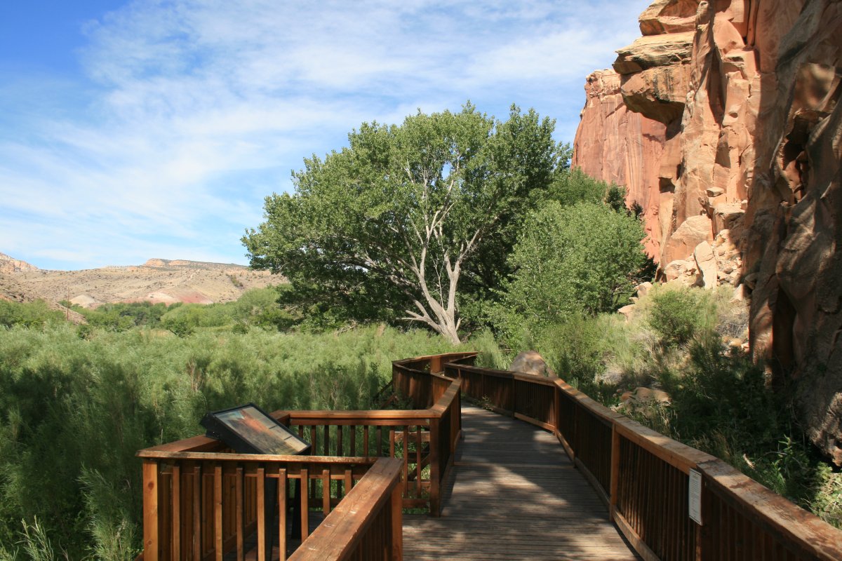
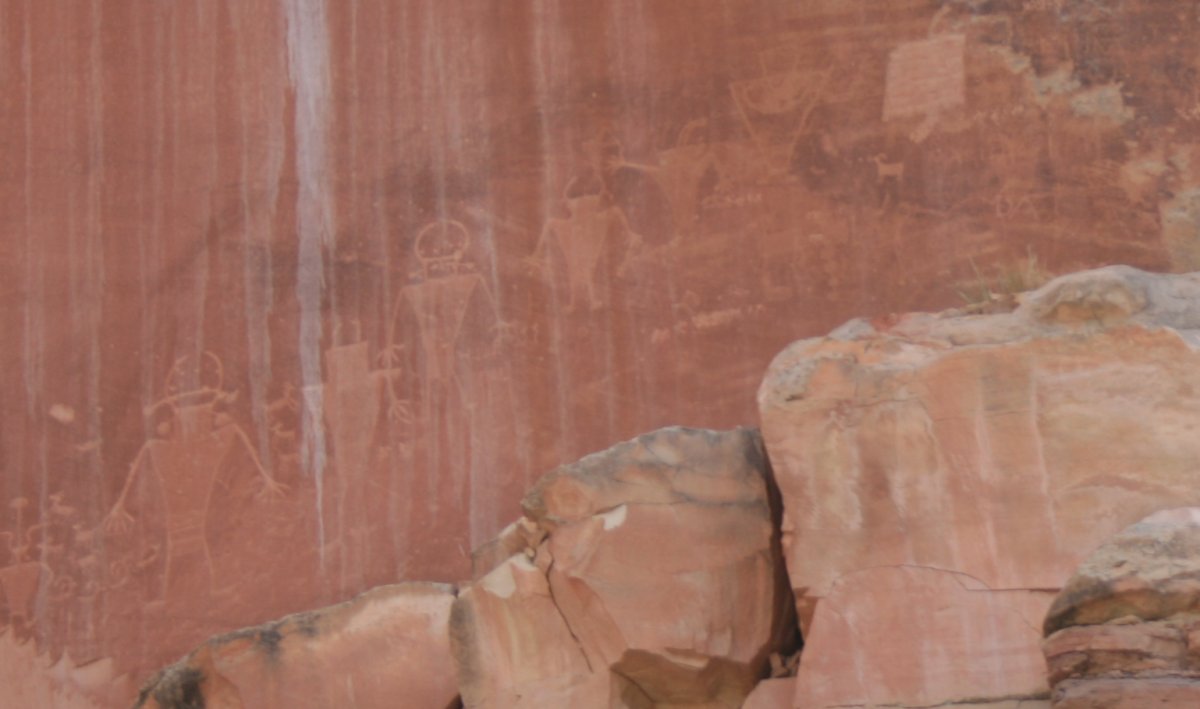
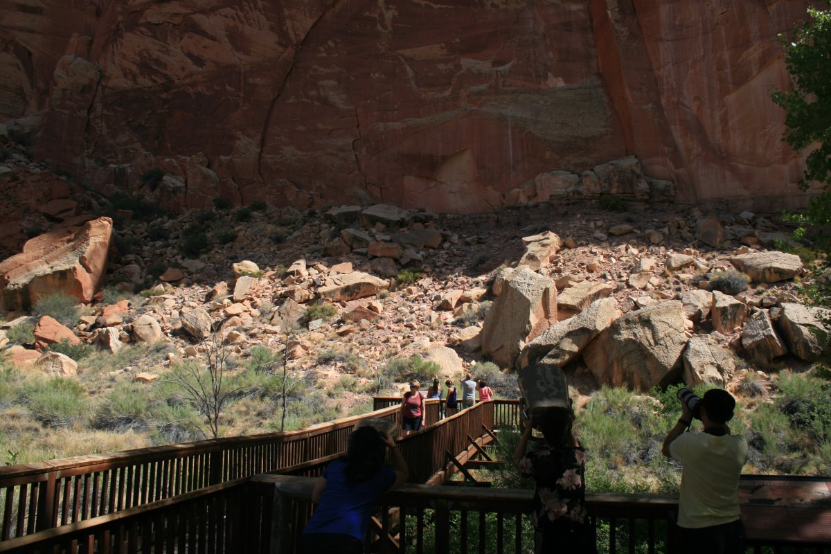
After the hike, we checked out some petroglyphs (rock carvings) created between 300 and 1300 AD.
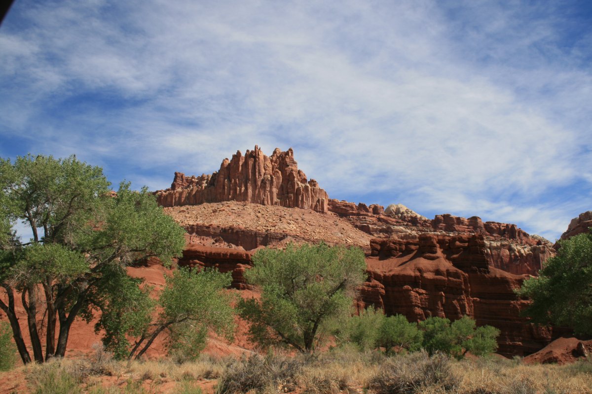
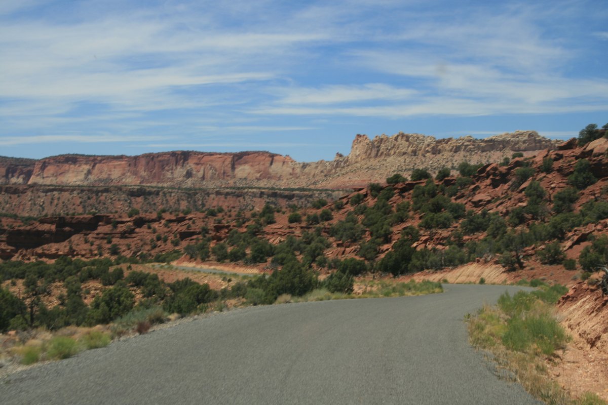
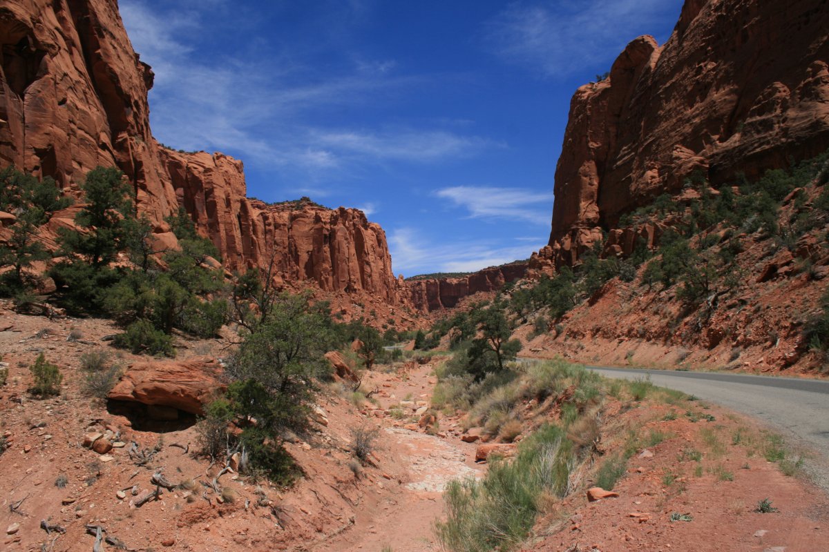
Today's final destination was Bryce Canyon. We could have got there by heading west on Route 24 to intersect the famous All American Highway 12 running south through the Grand Staircase Escalante National Monument. But yesterday the Park Ranger had suggested driving south on Notom Road which runs on the east side of Capital Reef until another dirt roads turns west, cuts through Capital Reef again and runs into Highway 12. She said it was very scenic, and although it was dirt, it did not require a four-wheel drive vehicle. So we decided to go for it.
Our B&B was on Notom Road so we had to backtrack a little.
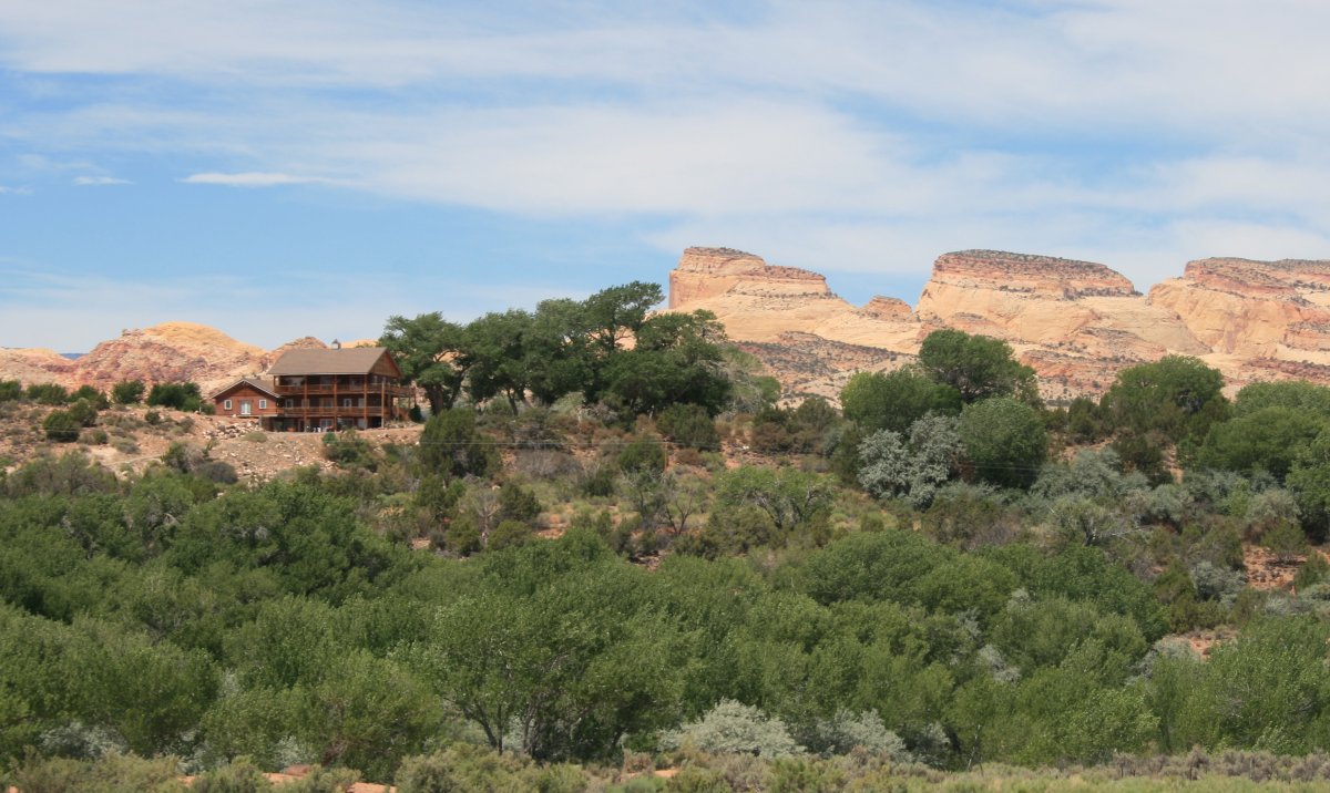
One last look at the Sunlit Oasis B&B where we stayed last night.
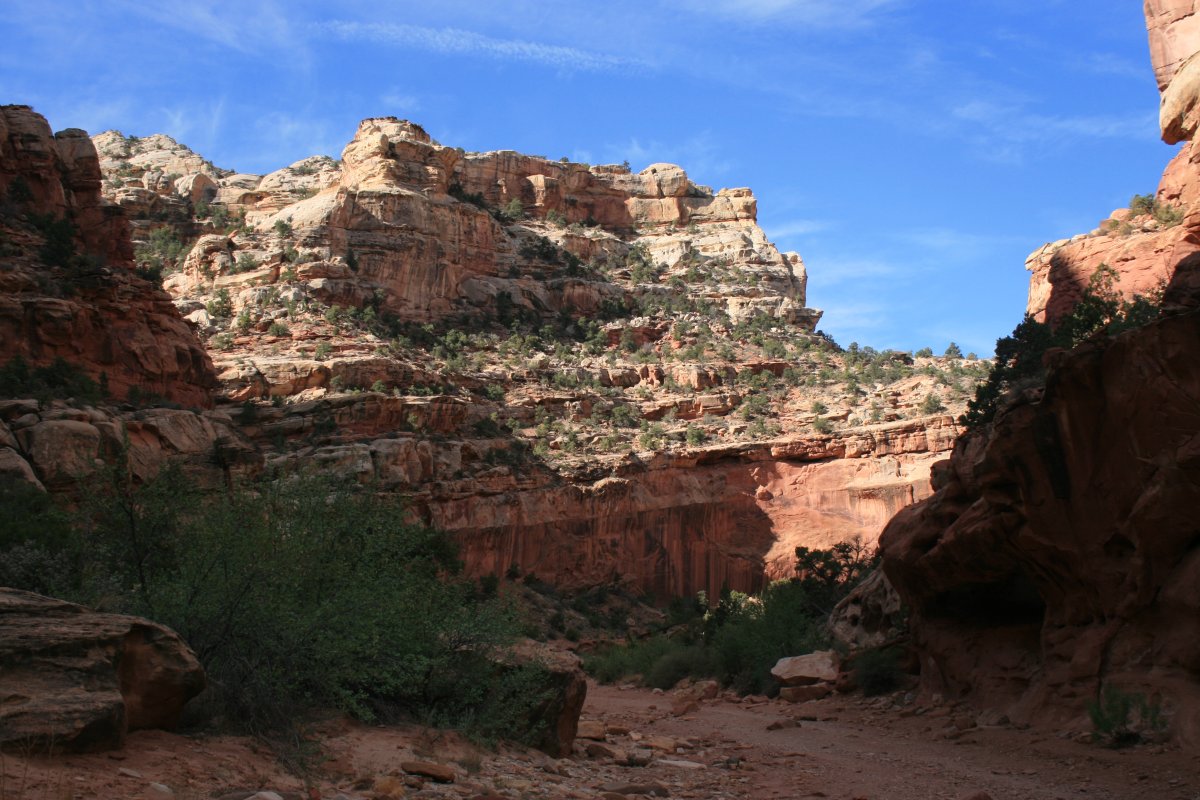
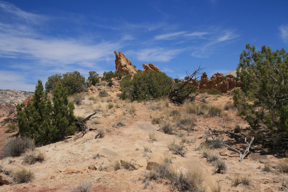
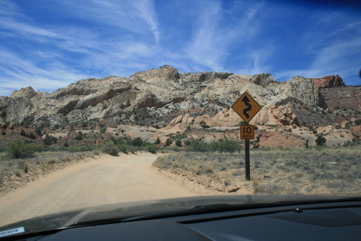
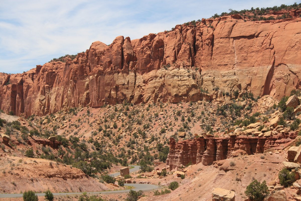
Soon Notom Road turned changed from asphalt to dirt.
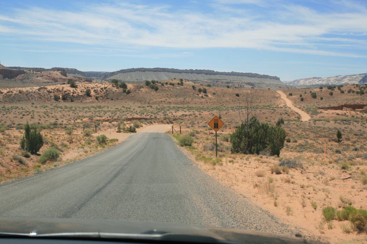
The road had what is referred to as the washboard effect. I found that driving faster, about 40 mph, was a lot smoother than driving 20-30 mph.
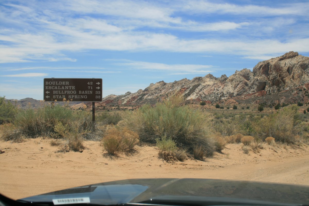
We came to the intersection. Notom Road continues straight ahead to Bullfrog Basin on Lake Powell 33 miles ahead.
We would be turning right and driving to Boulder on Highway 12.
Looking east.
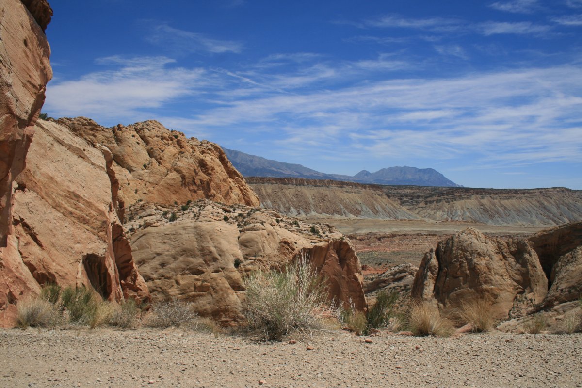
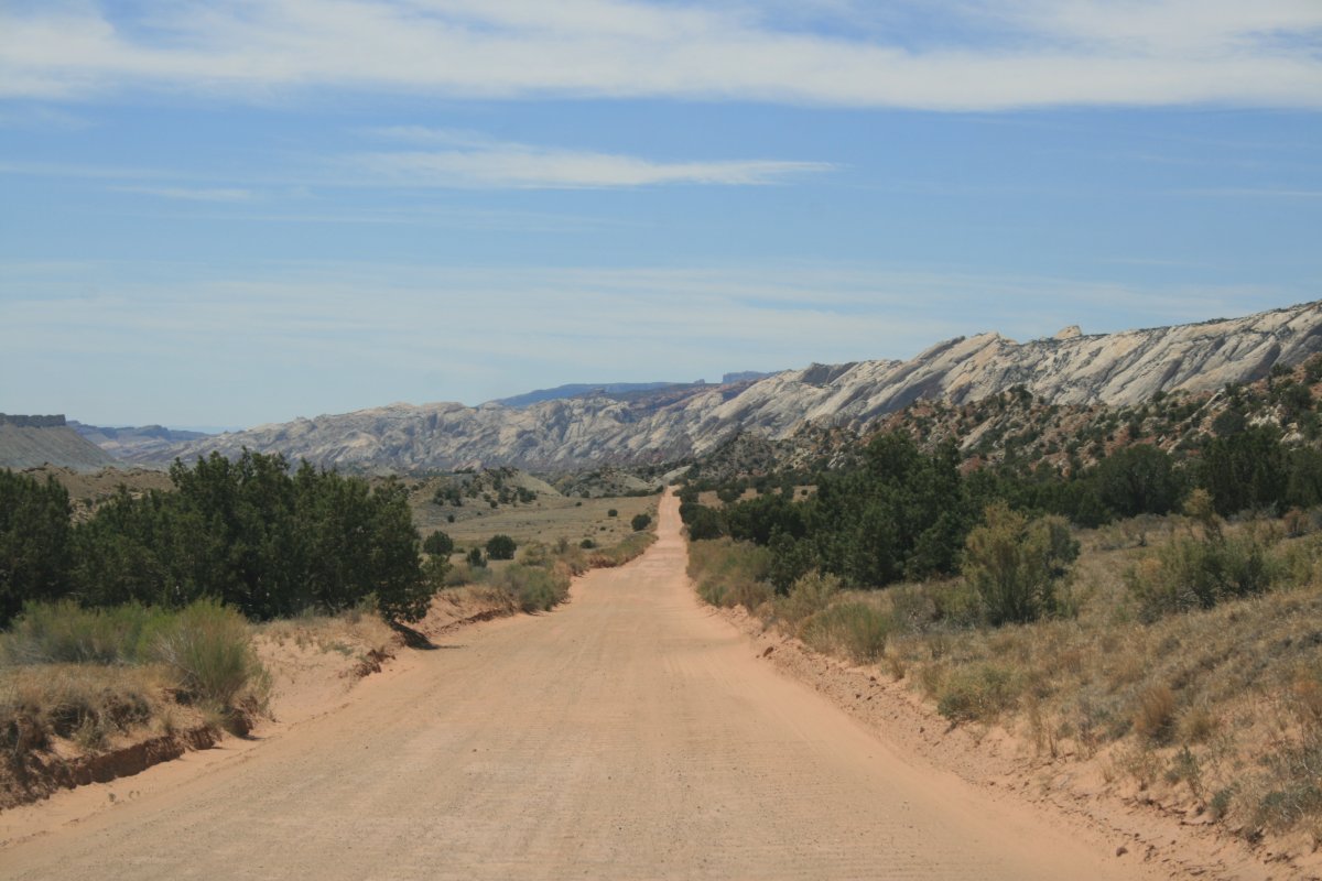
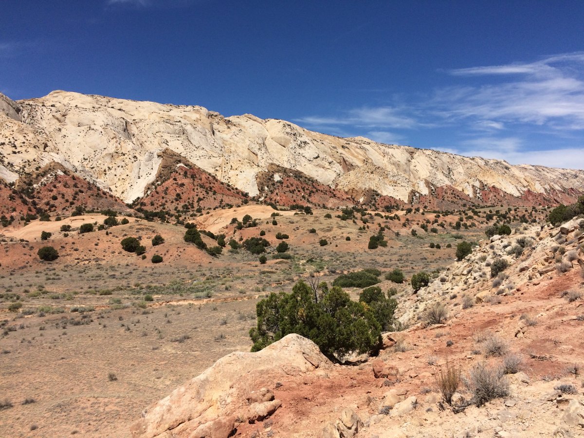
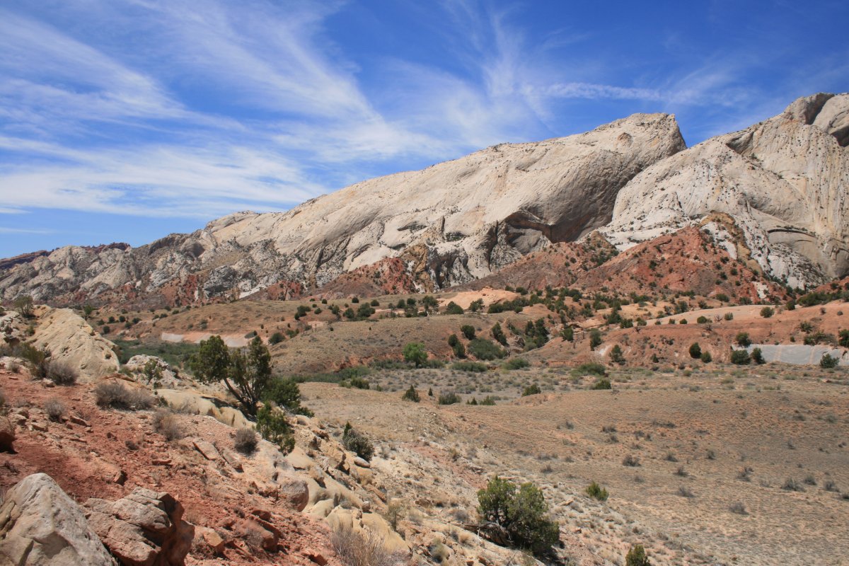
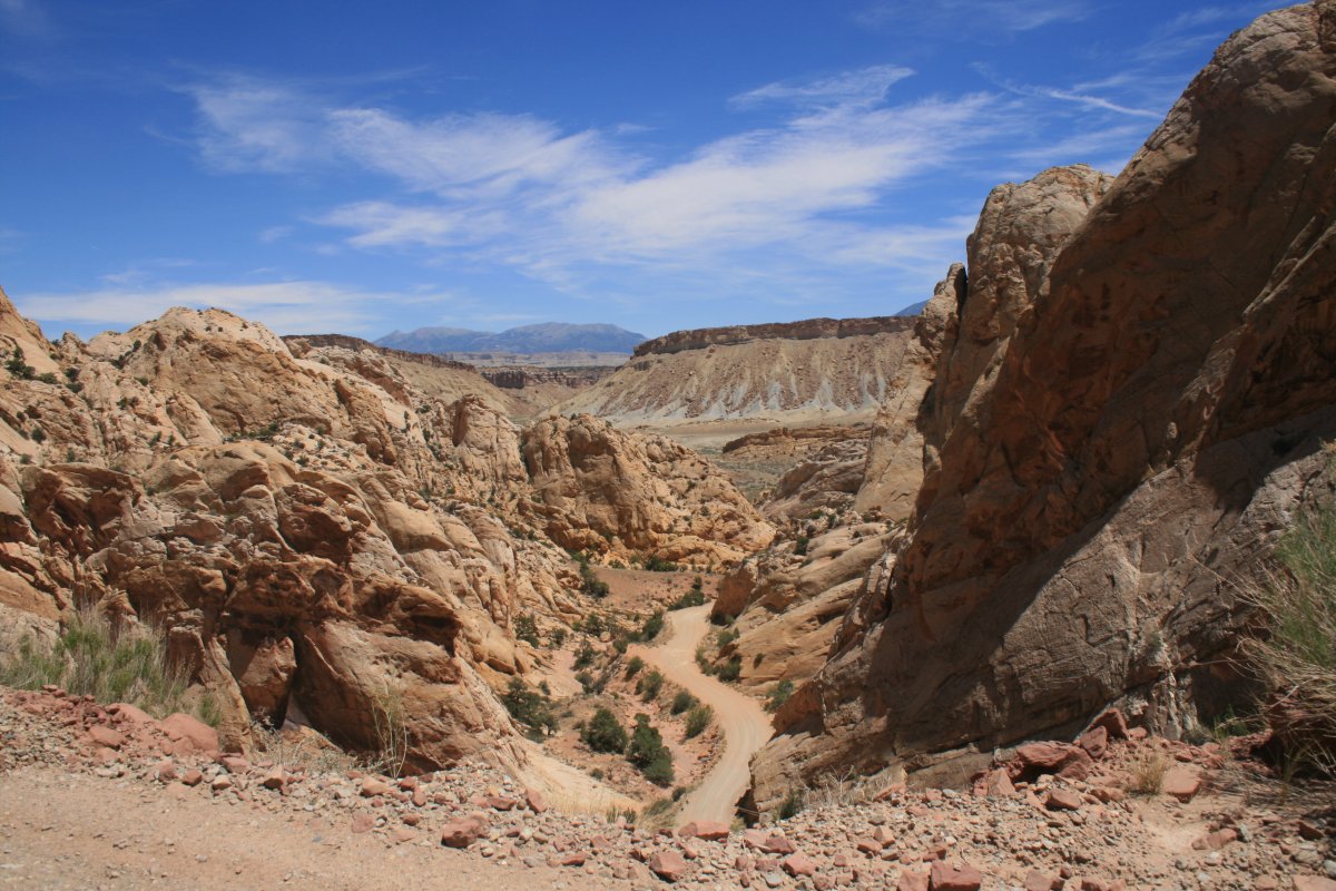
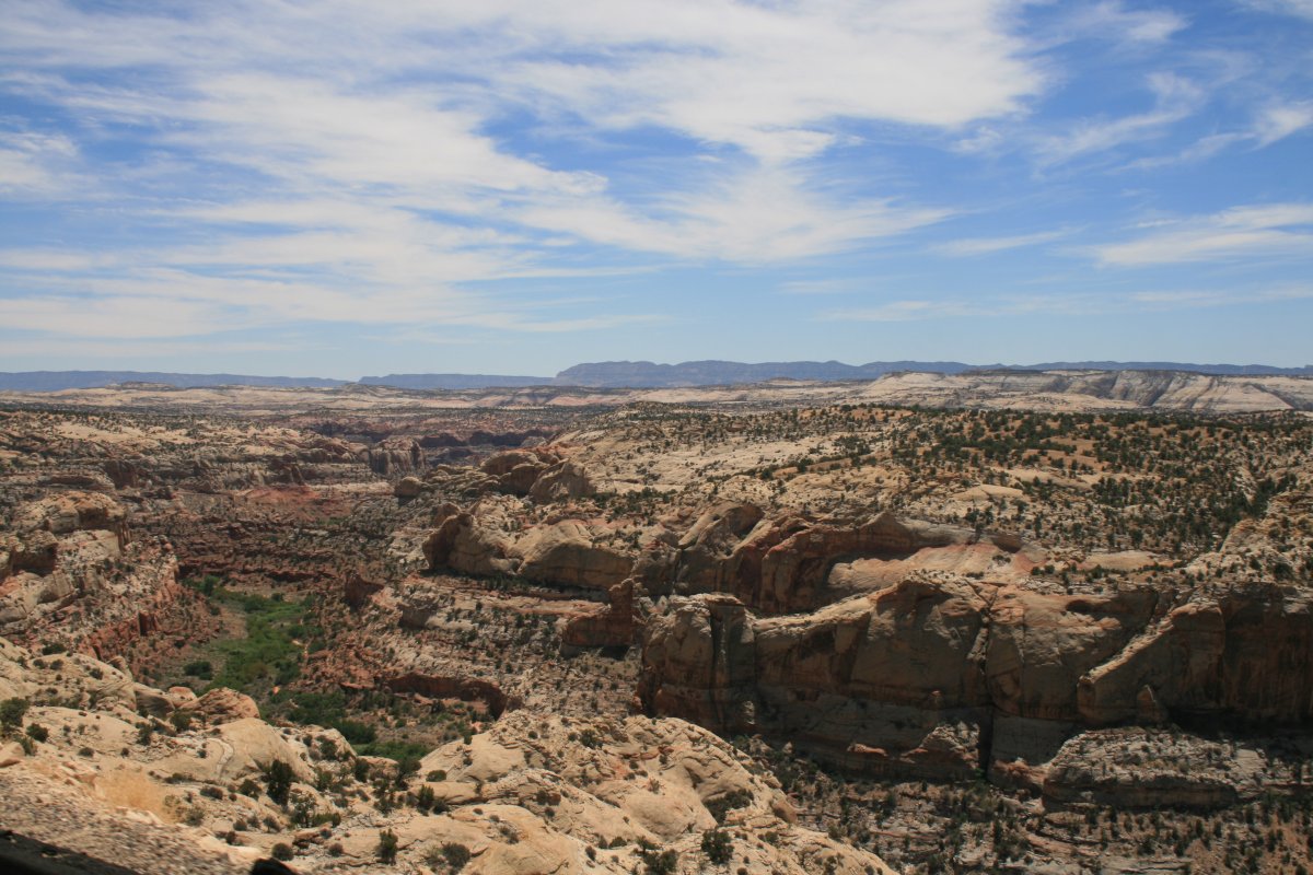
We have left Capital Reef National Park and are now entering the Grand Staircase -Escalante National Monmument.
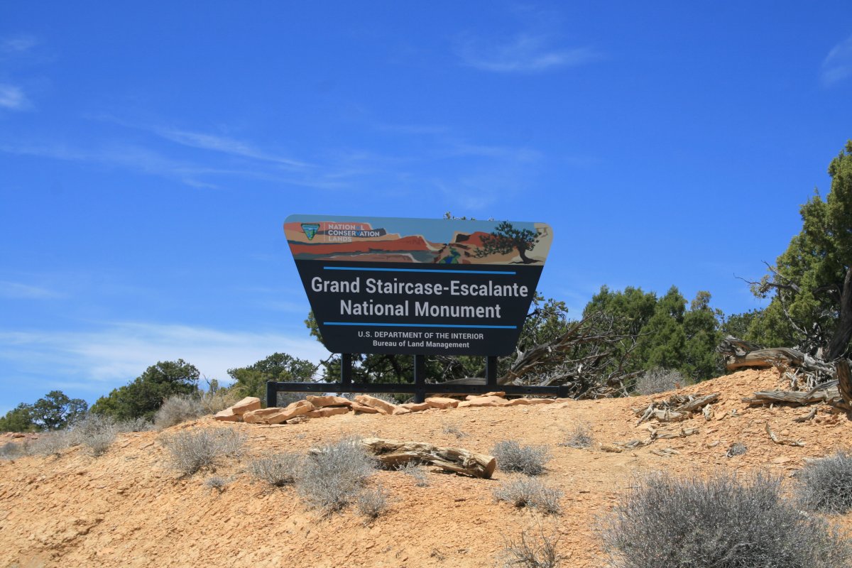

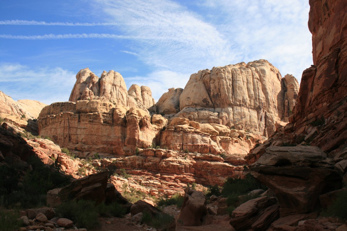
Actually, we were only seeing the northwestern edge of the National Monument.
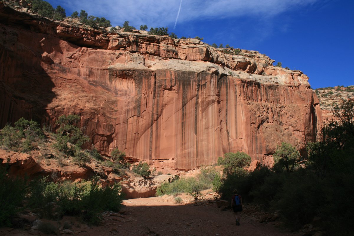
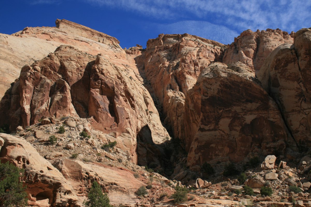
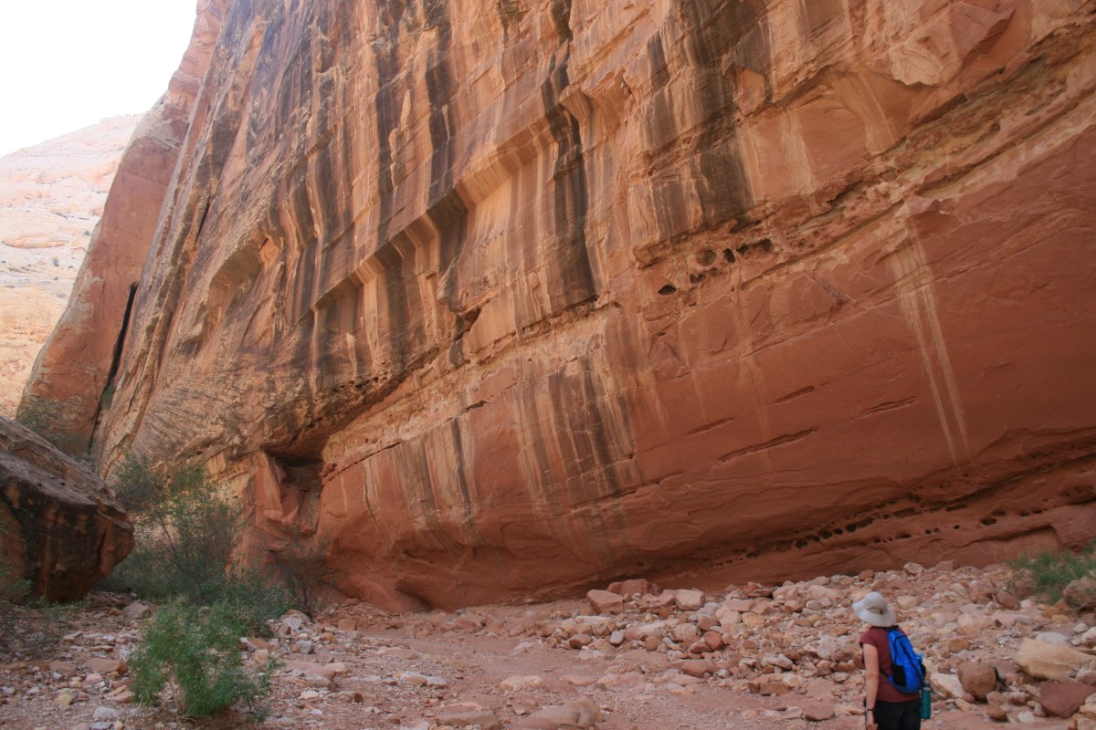
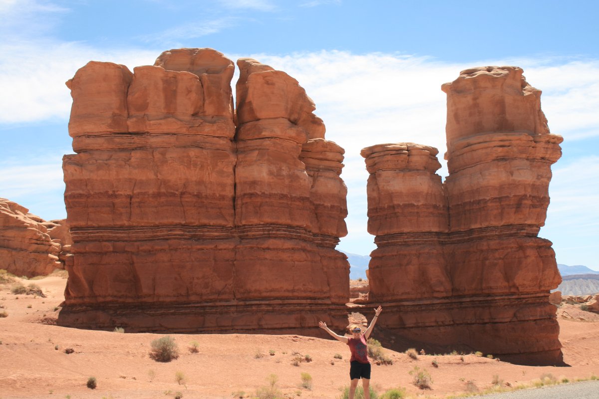
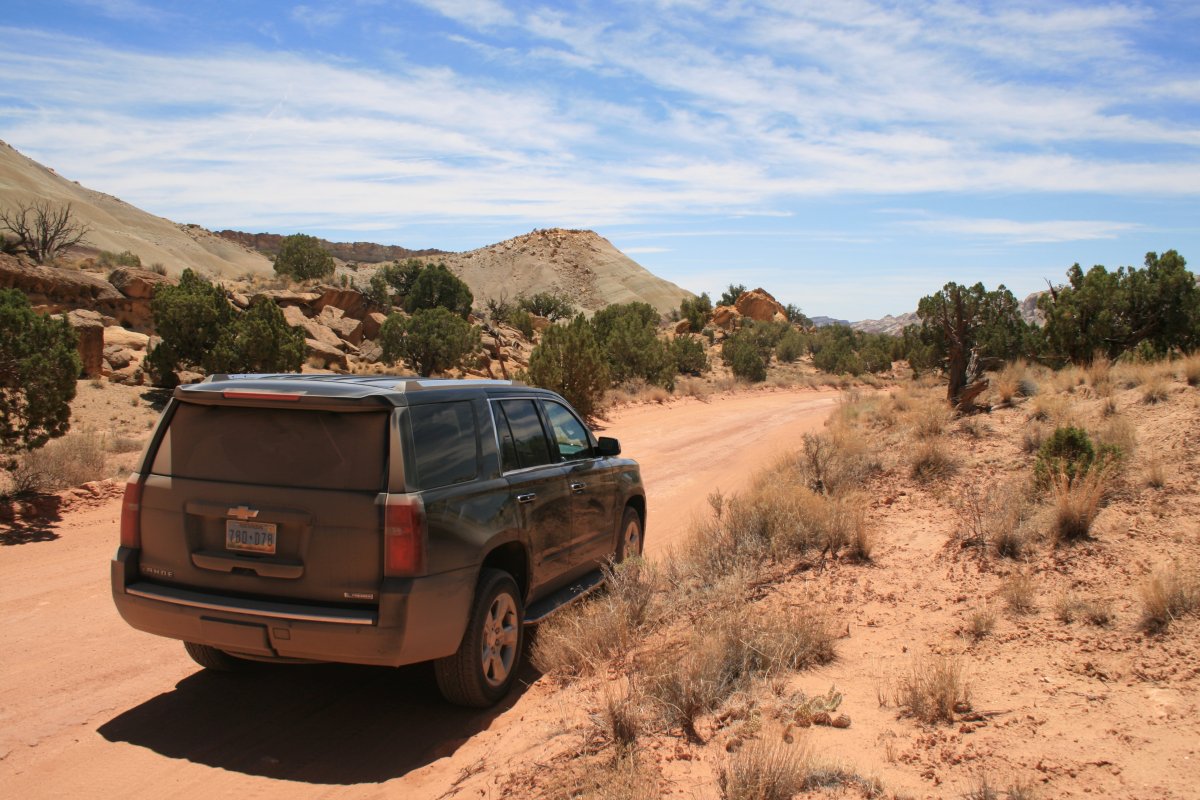
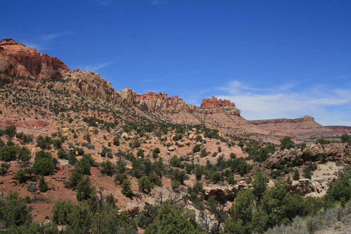
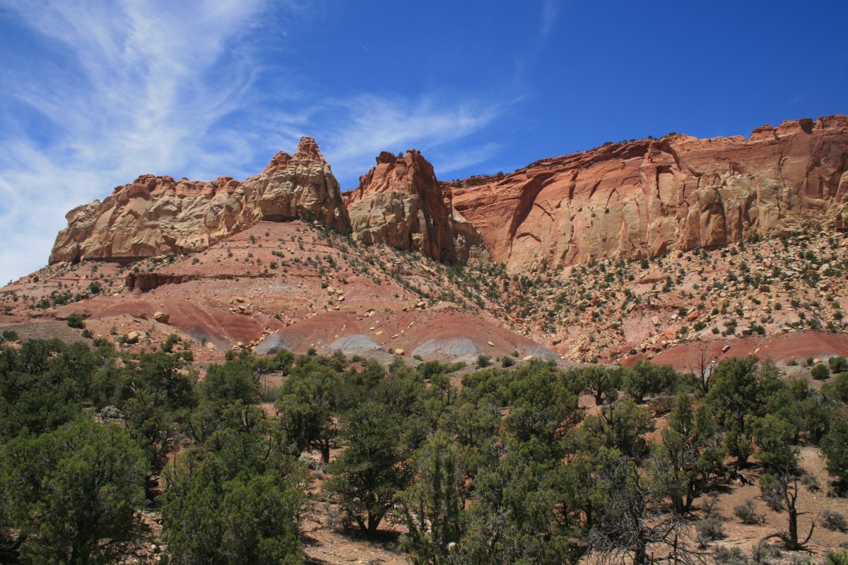
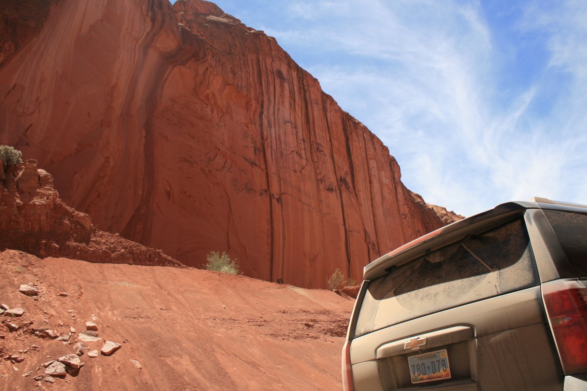
Big, rock wall and dirt-coated SUV.
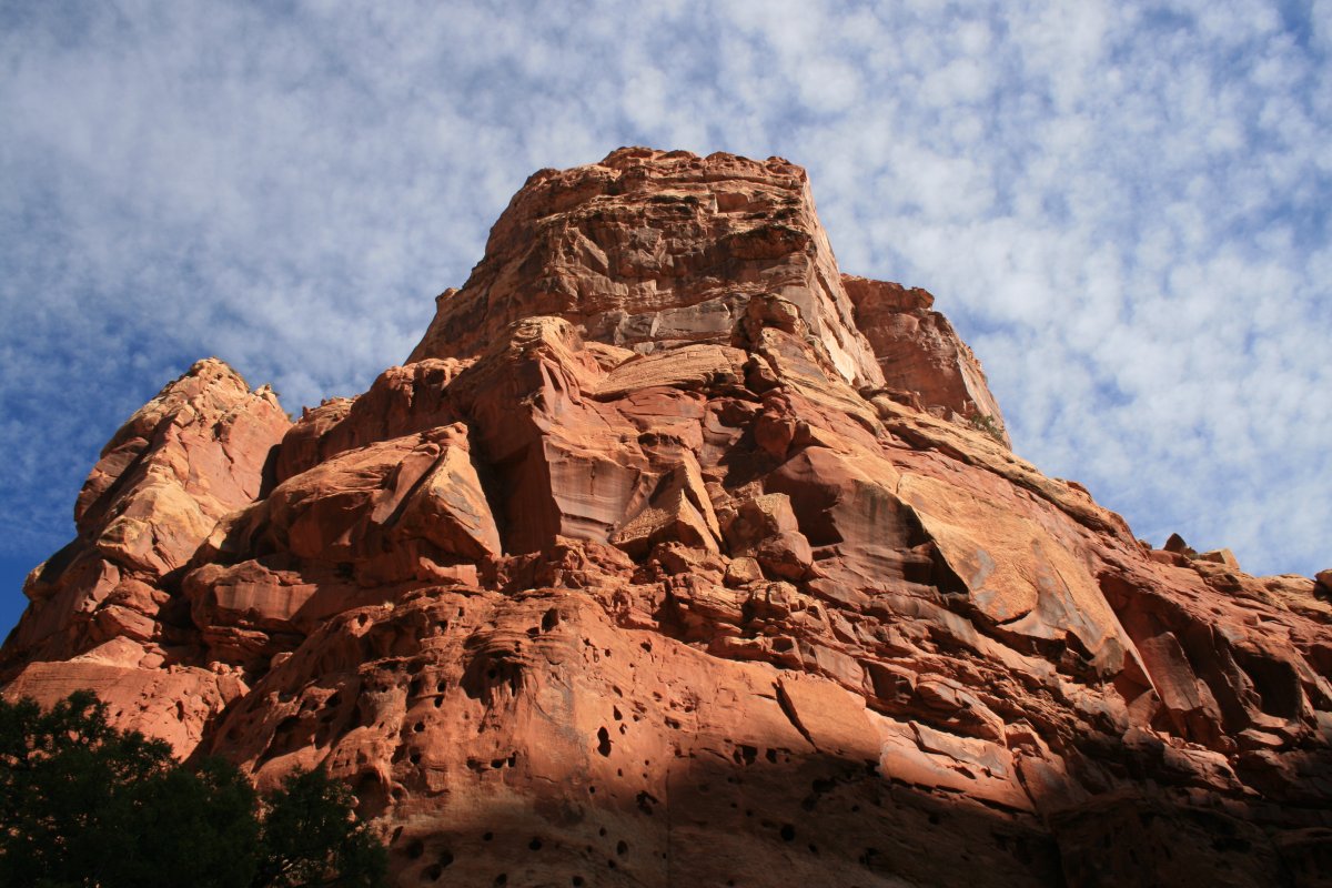
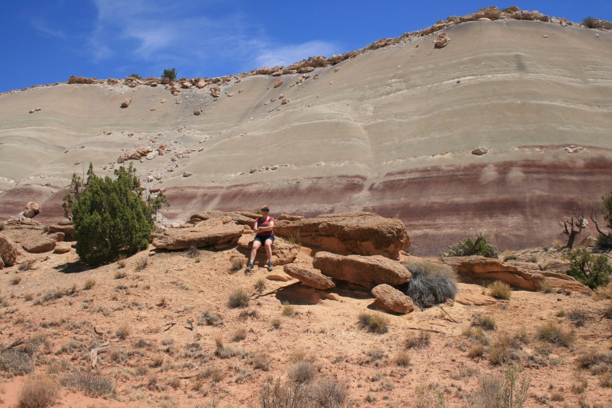
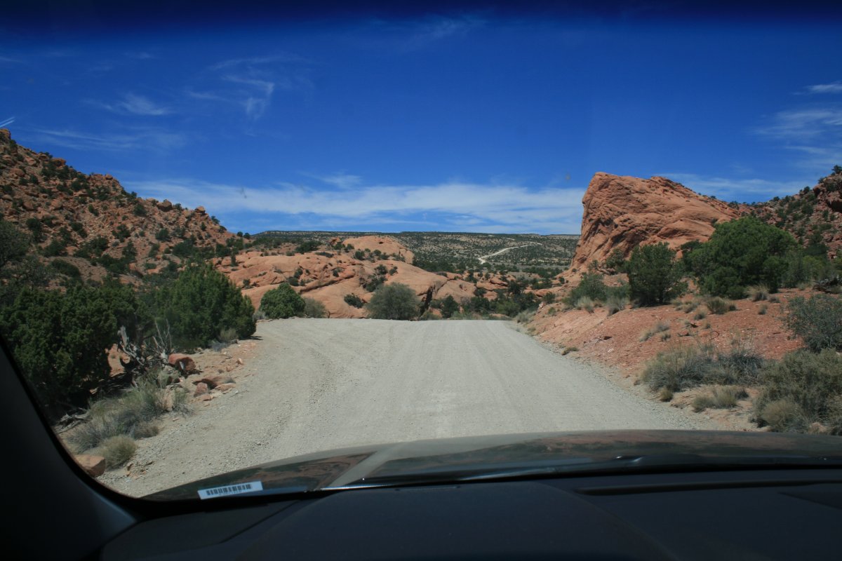
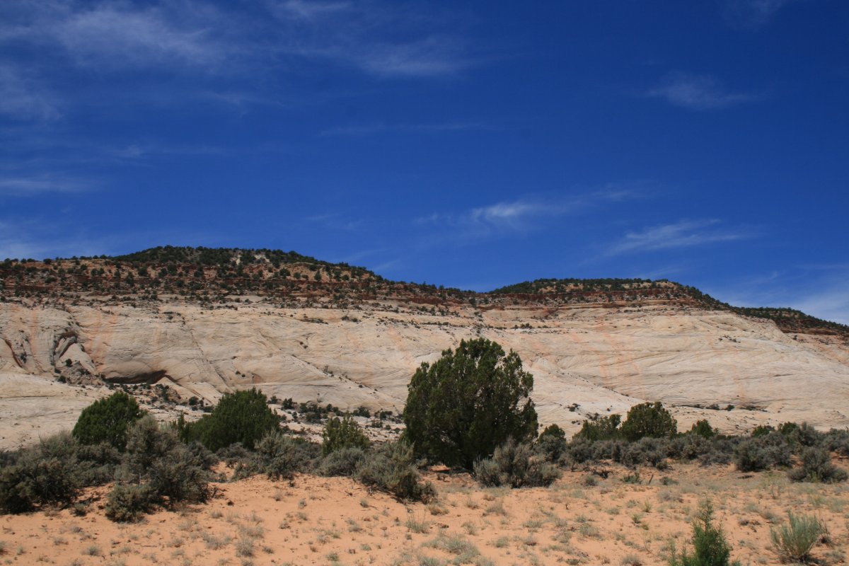
Red rock turns to white rock.
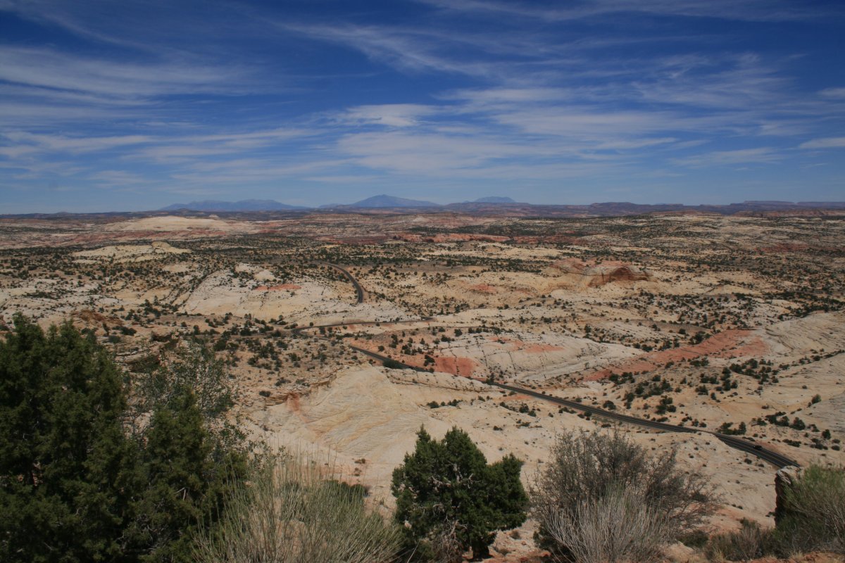
We made it to the very little town of Boulder and turned west on the All American Road, Highway 12.

Part of Highway 12 was built by the Civilian Conservation Corps between 1935 and 1940.
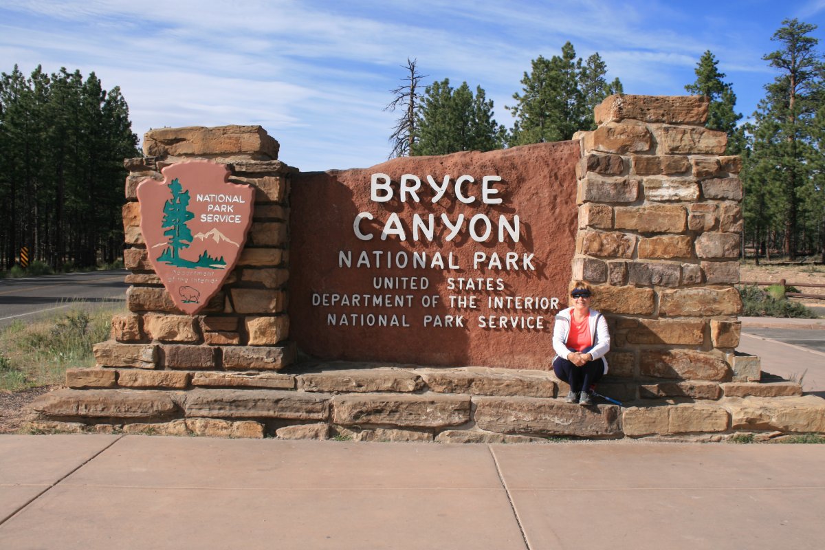
We passed through the towns of Escalante, Cannonville and Tropic before reaching the Bryce Canyon. I had made reservations at Rubys Inn, just outside the park. It turns out that Rubys Inn was a massive complex that was literally the entire town!
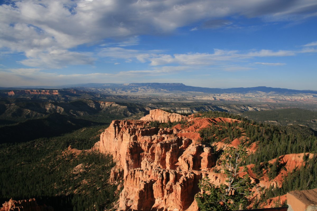
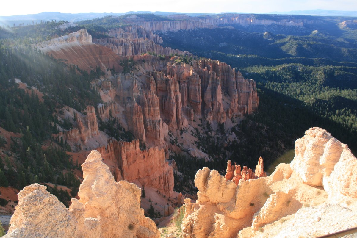
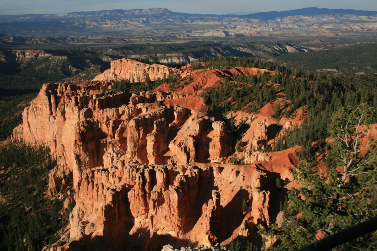
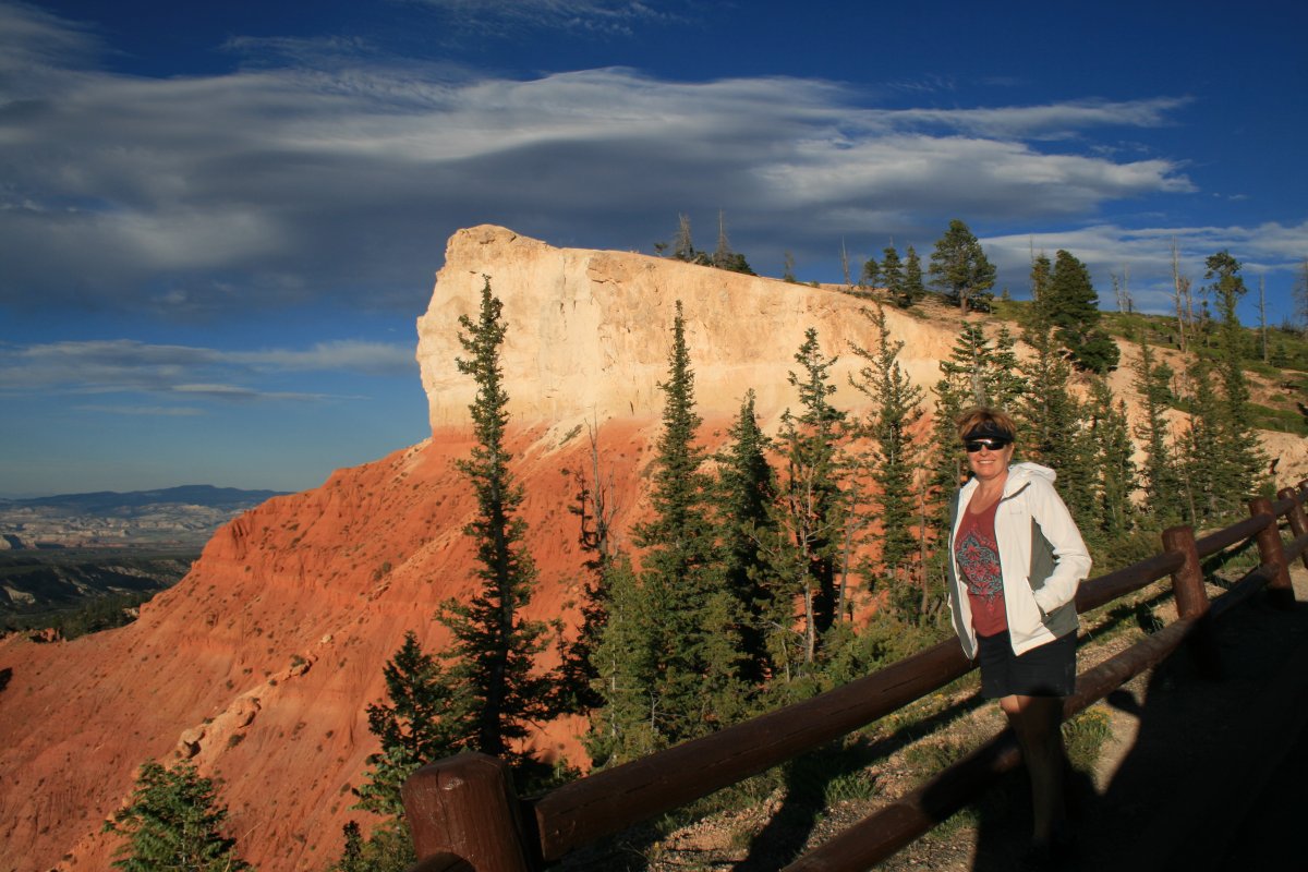
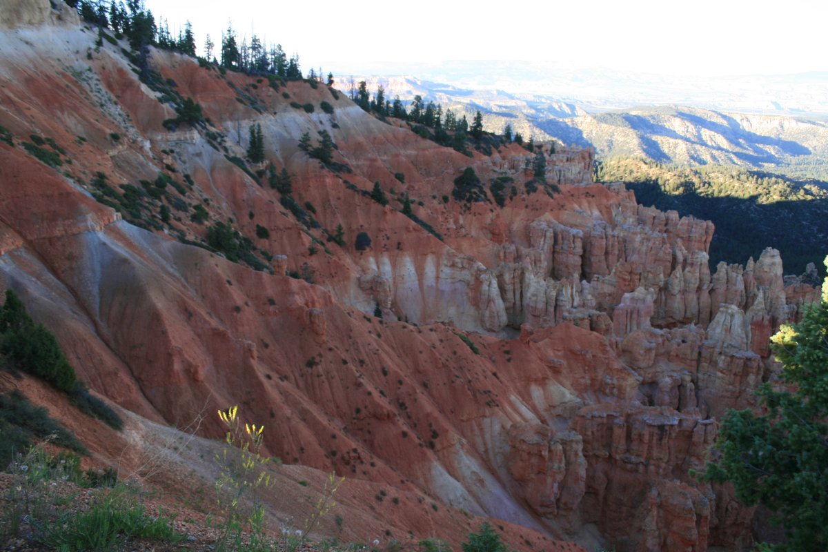
We stopped at almost every one of the overlooks.
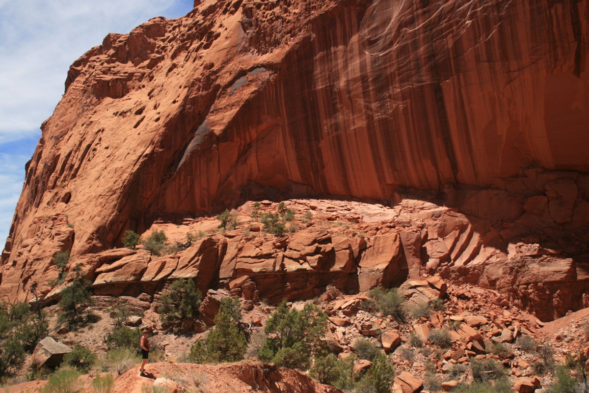
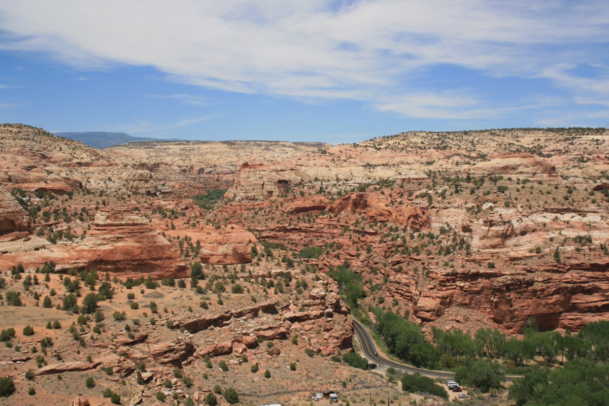
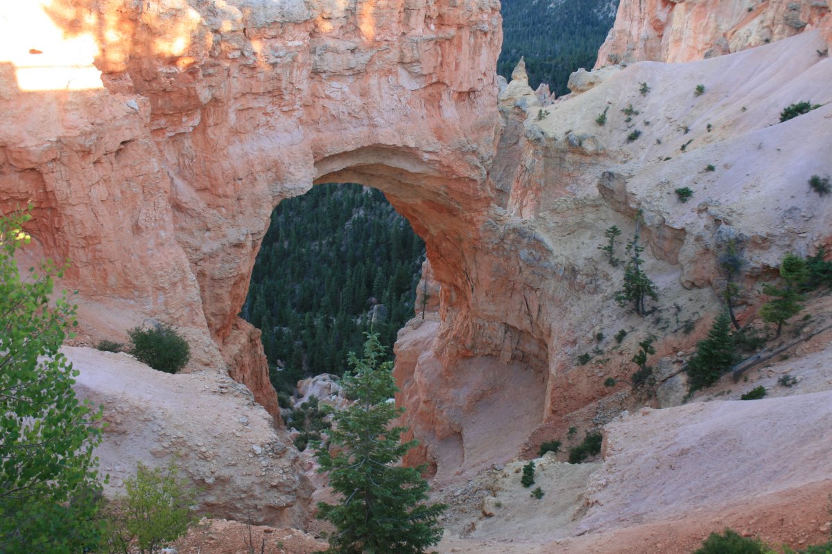
A big natural bridge.
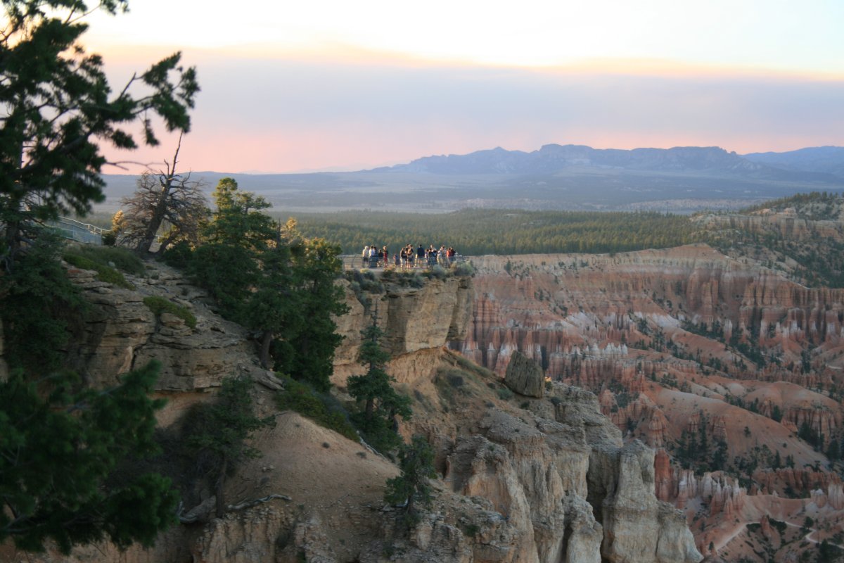
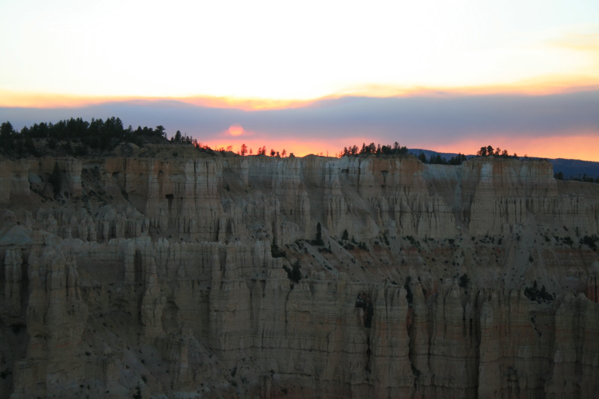
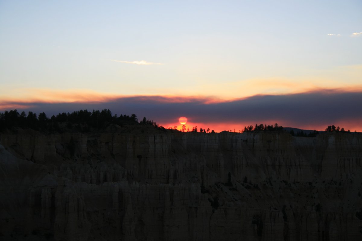
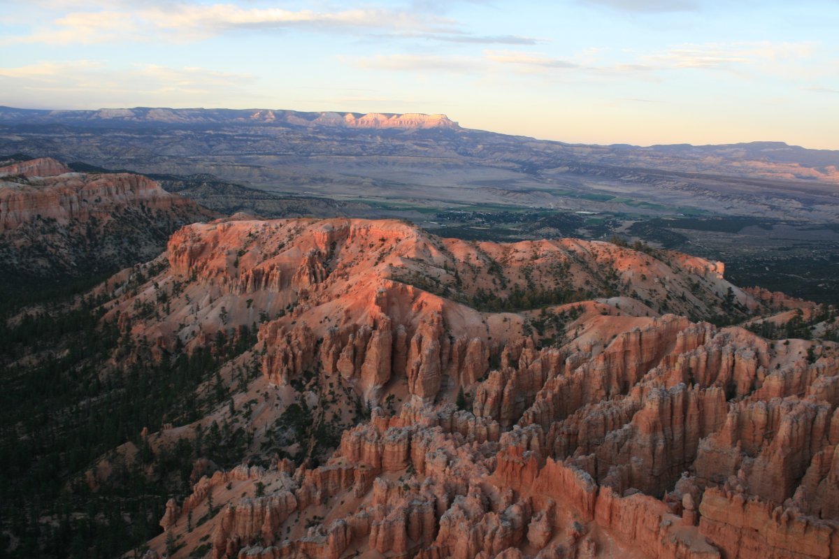
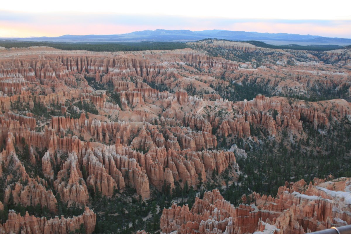
The views from Bryce Point were spectacular.
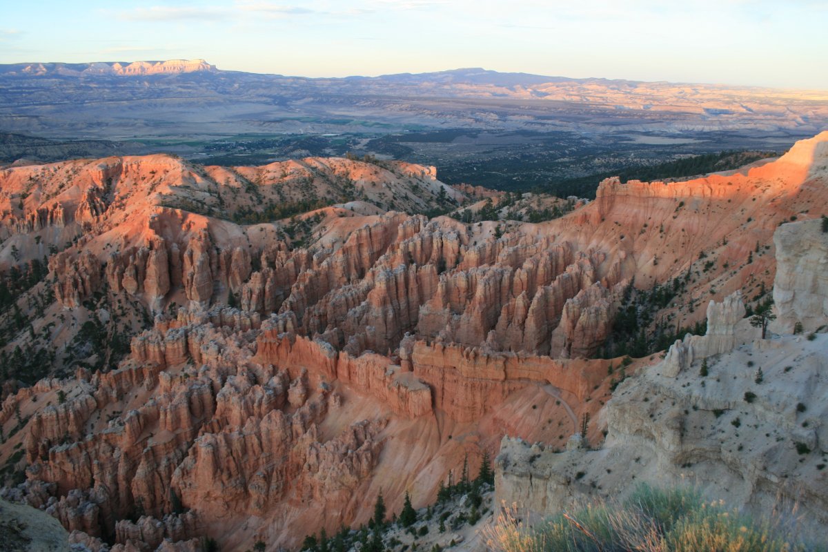
Little did we know that we would be hiking down there tomorrow.
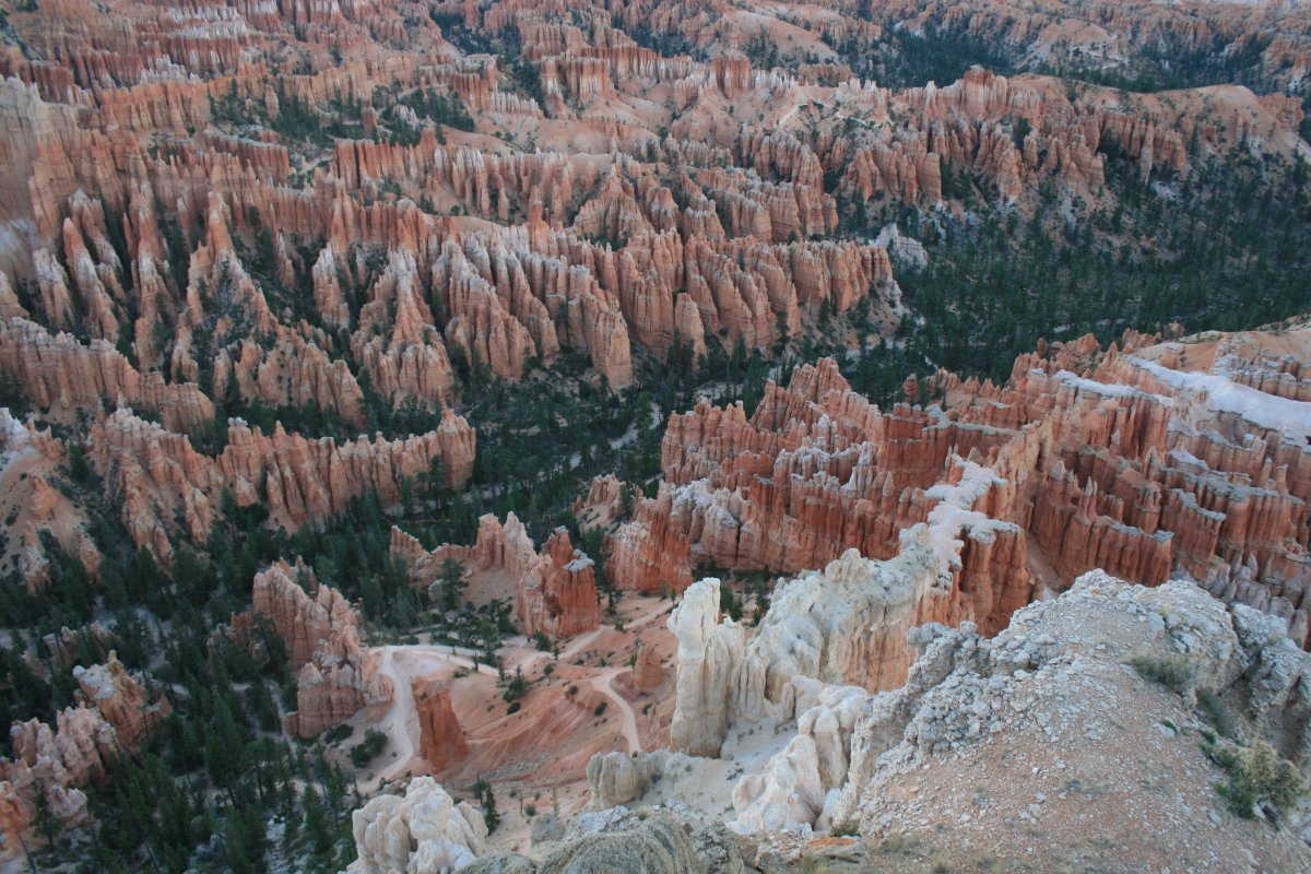
At the tip of Bryce Point looking backward towards the parking lot.
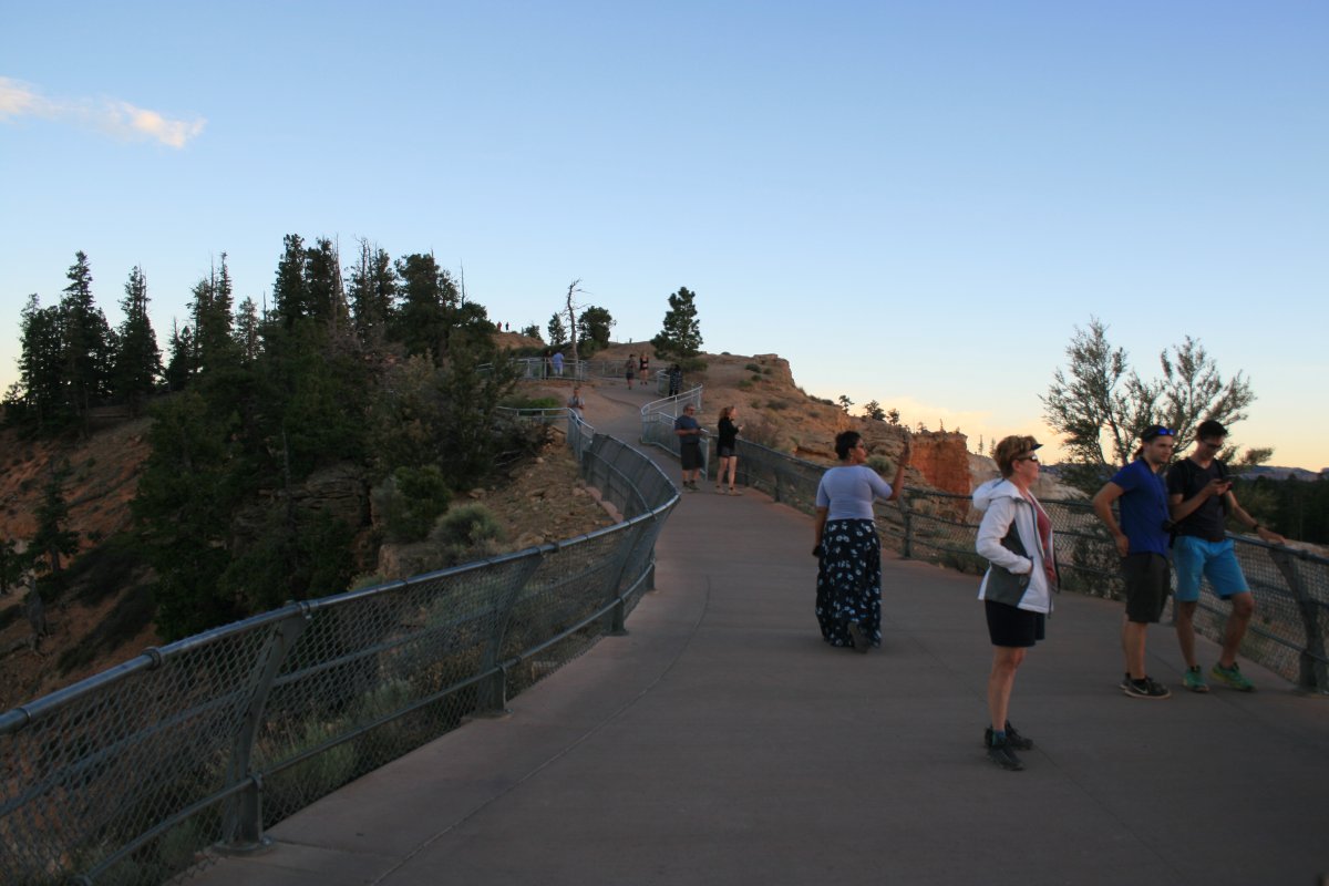
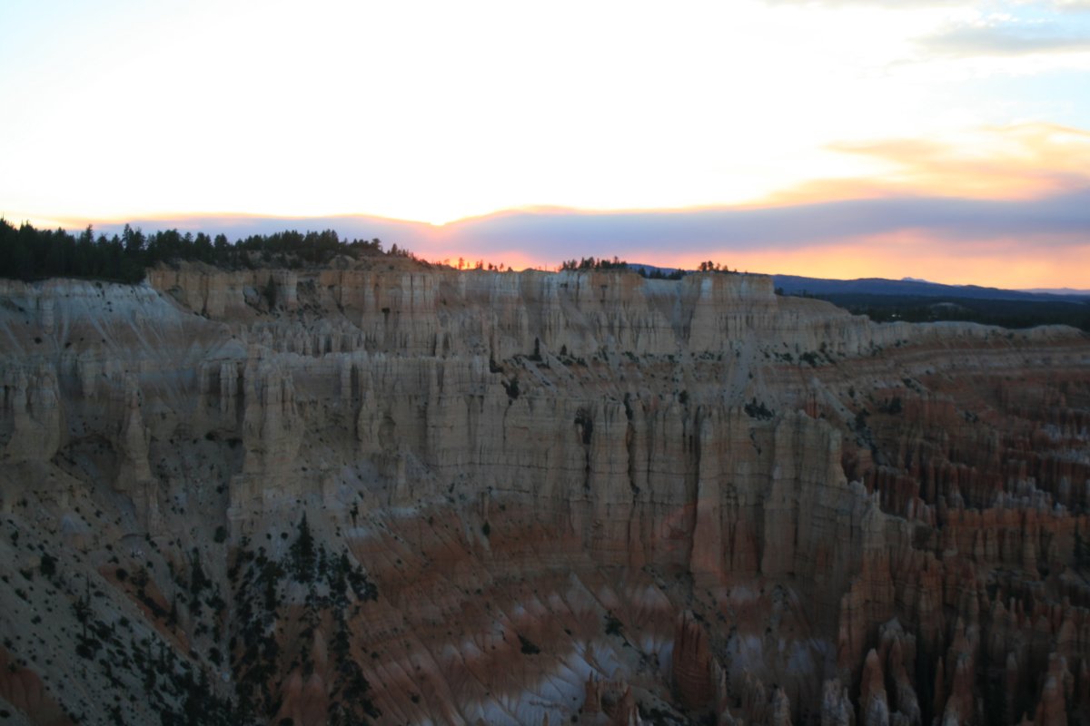
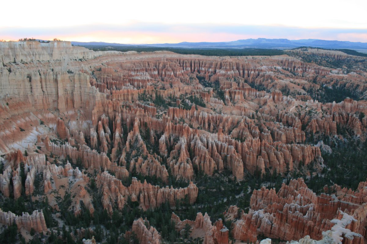
The sun was screened by a low cloud layer.