April 16, 2016 - Flight Home from Johnson City, TN
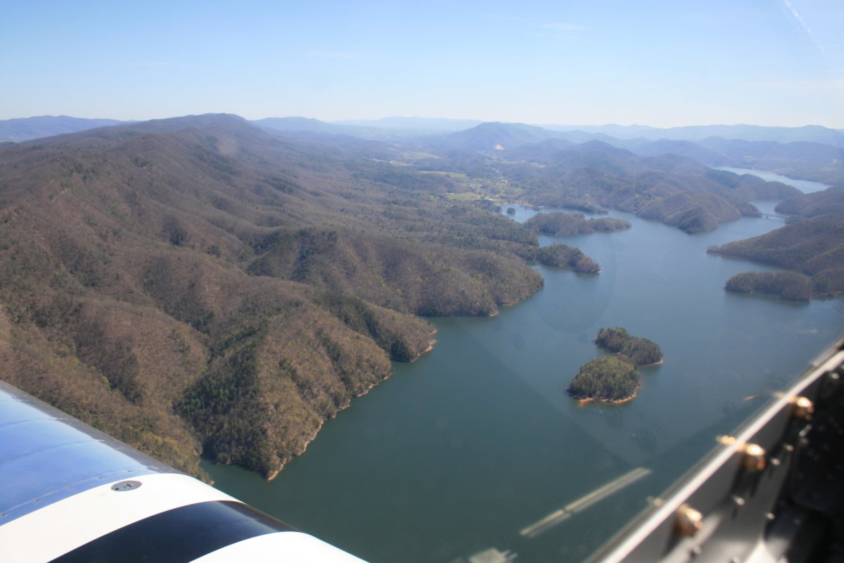
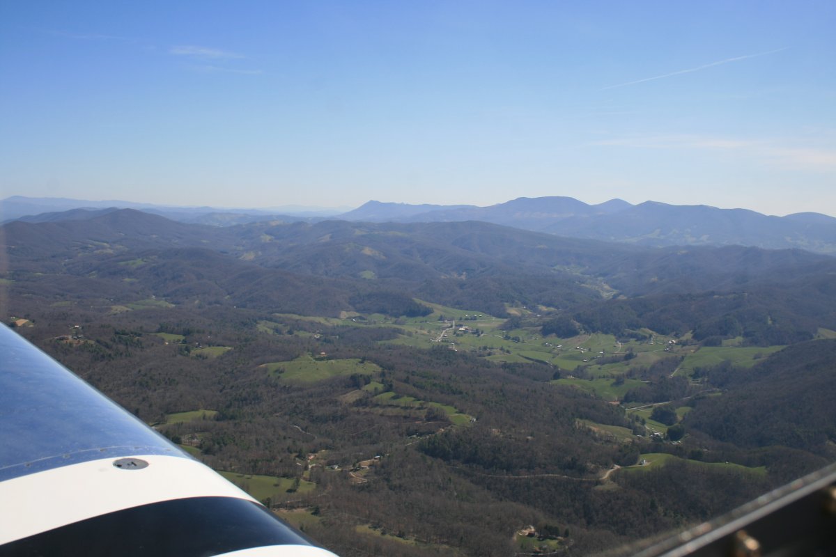
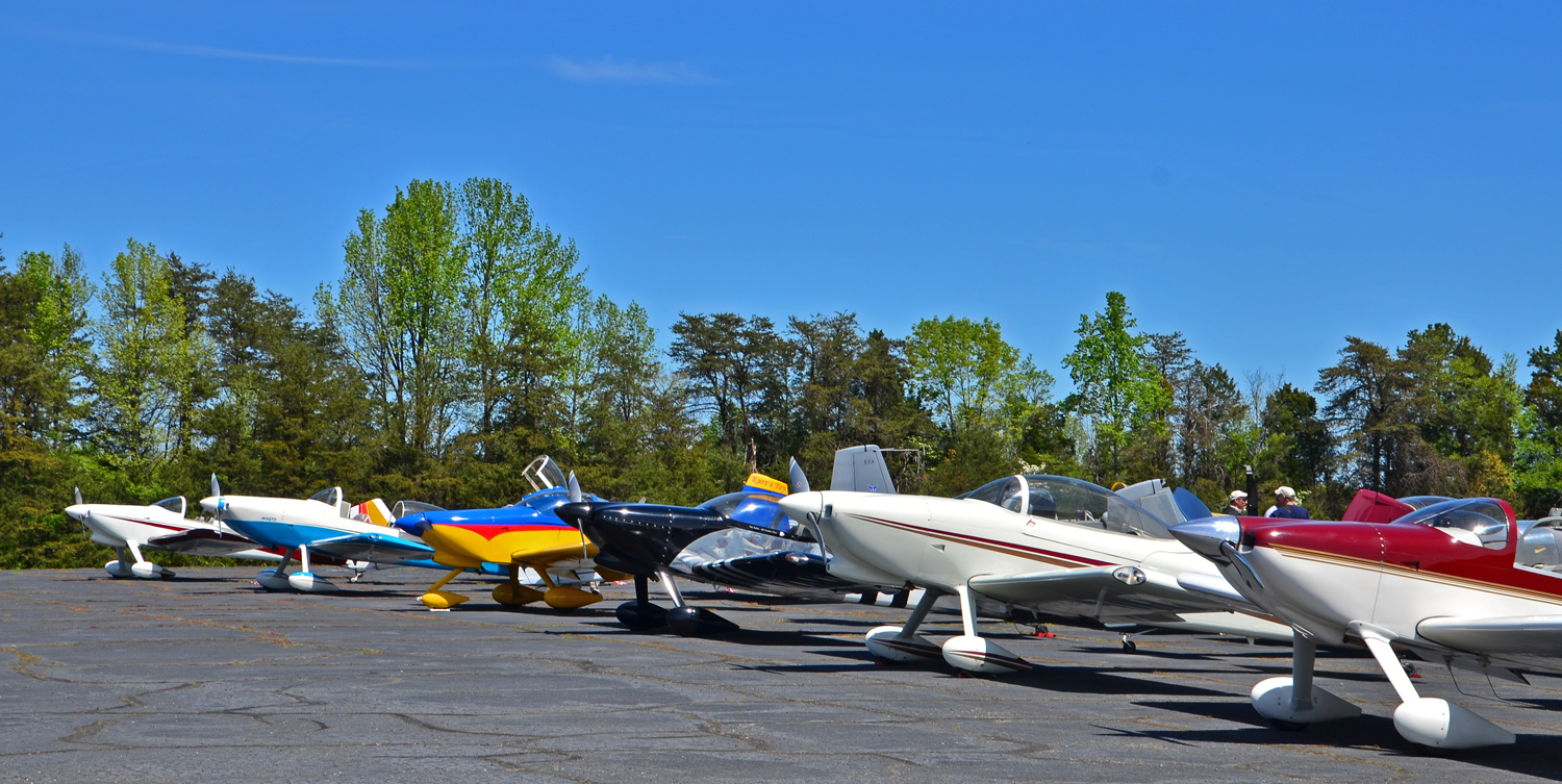
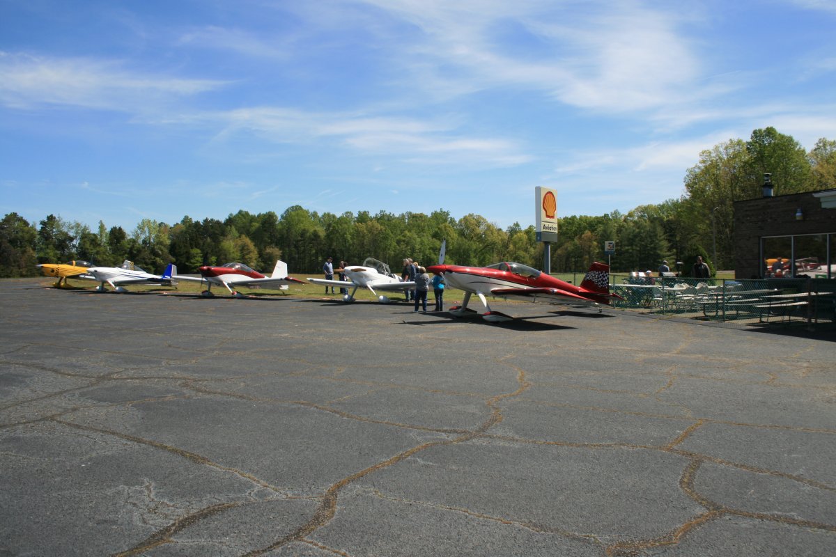
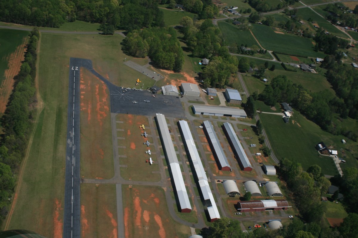
I departed Johnson City Saturday morning. Weather was perfect: warm, light winds, not a cloud in the sky. Mugsy had told me there was an RV fly-in just on the other side of the mountains at Twin Lakes Airport (8A7) in Mocksville, North Carolina so I decided to stop there for a few hours on the way home. 94 nm ESE to be precise. Just a short hop in the RV. Johnson City sits at the western base of theBlue Ridge Mountains so turning east I was immediately in them. Soon I encountered big Lake Wautauga.
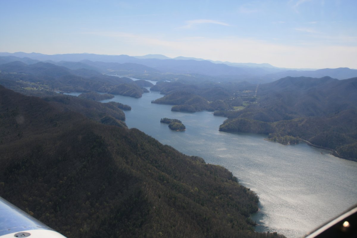
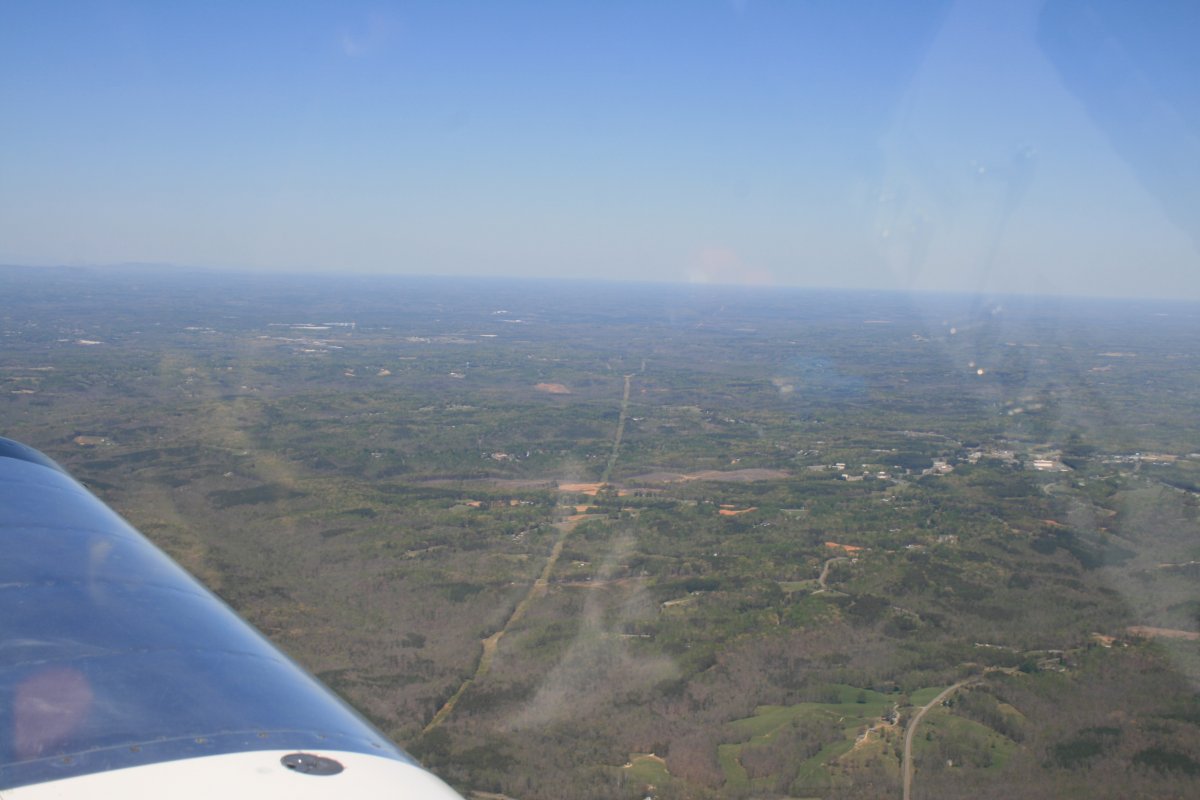
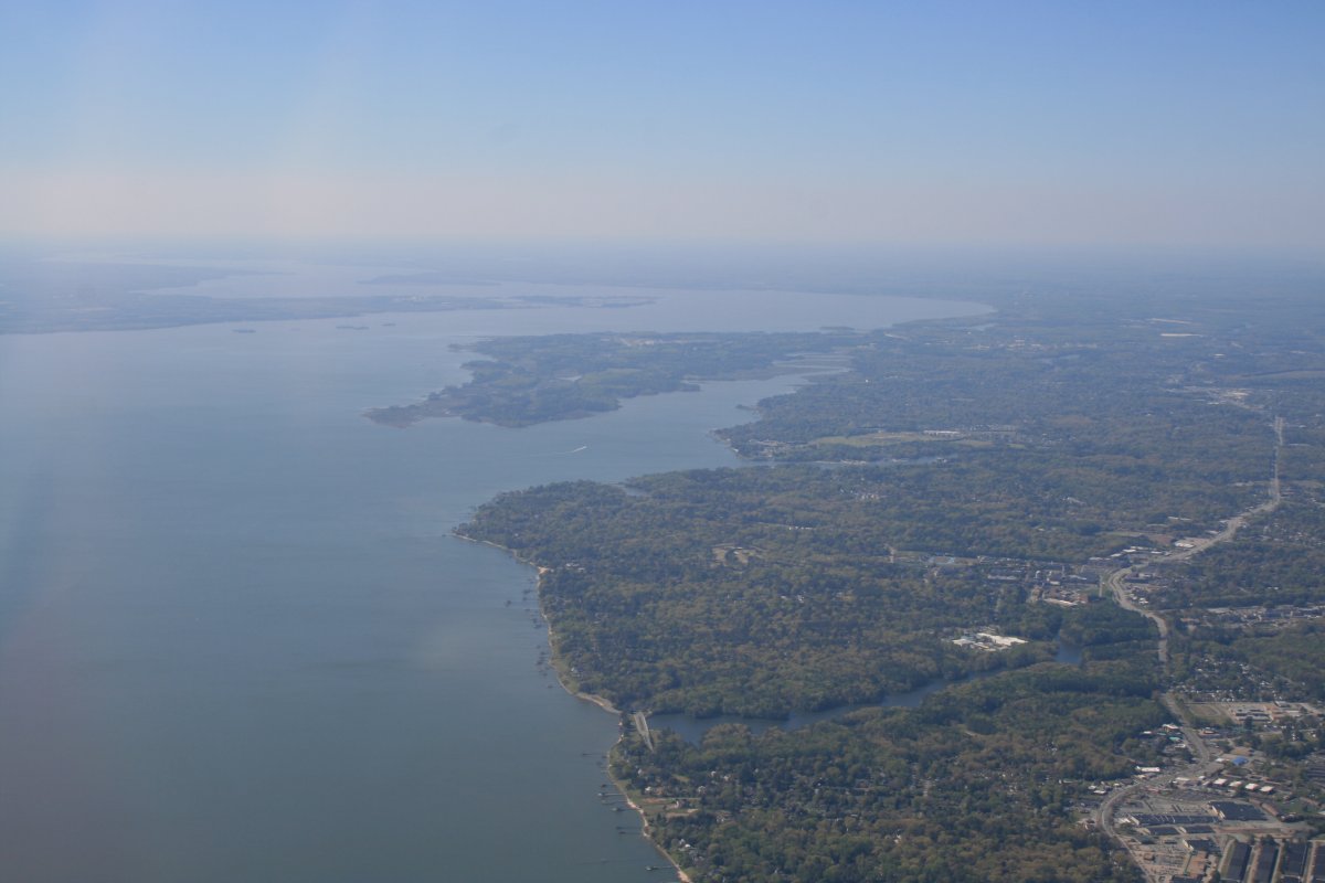
This is new territory for me.
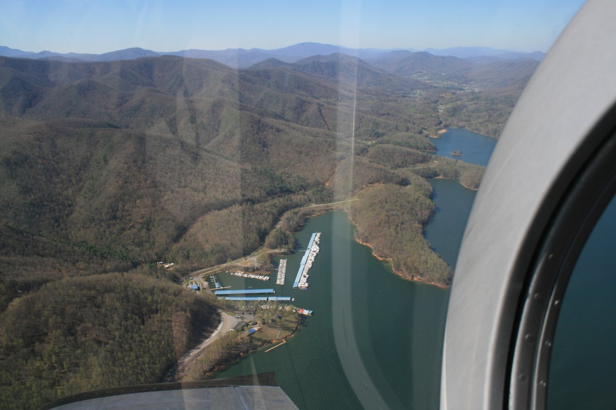
Continuing on through the Blue Ridge Mountains.
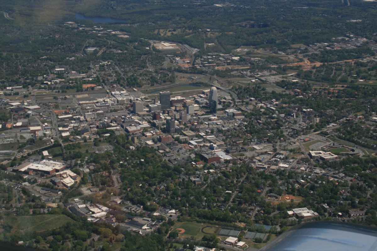
Passing downtown Winston-Salem.
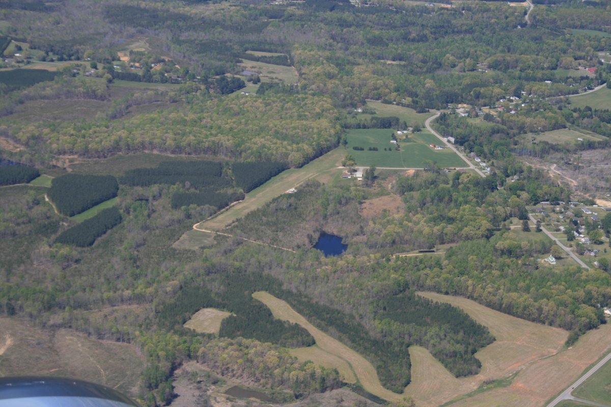
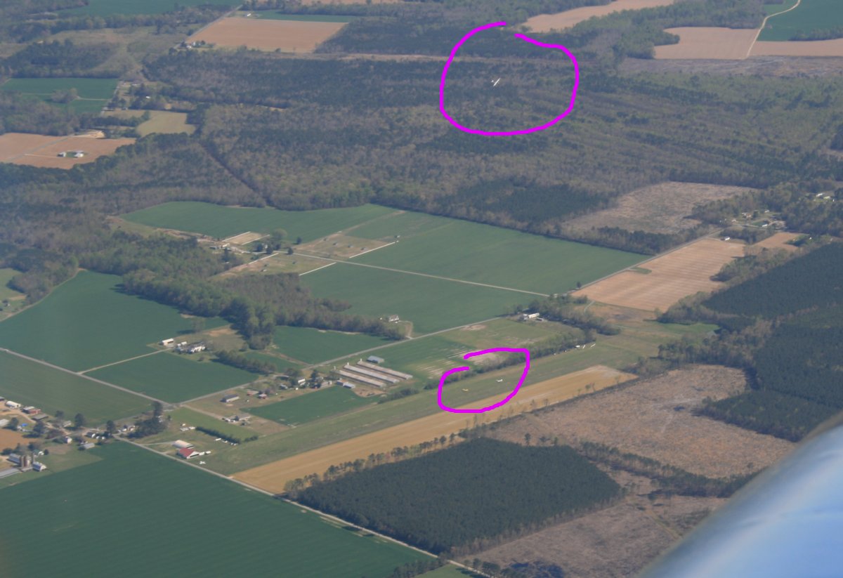
Passing by a little private grass strip.
It's going in my general direction. Let's follow it!
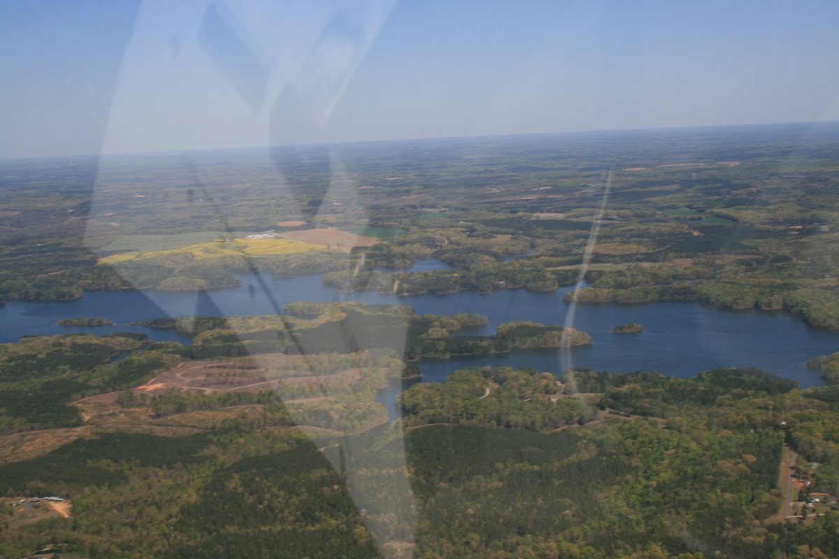
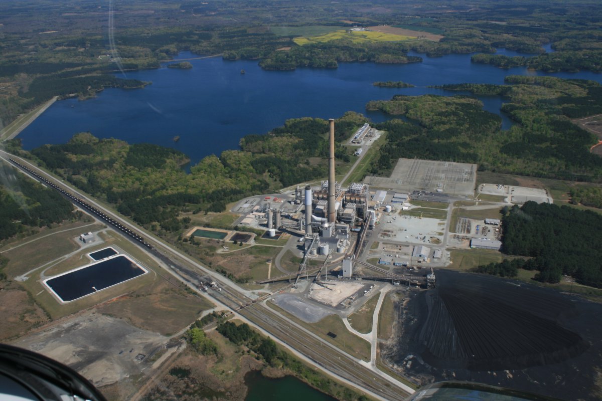
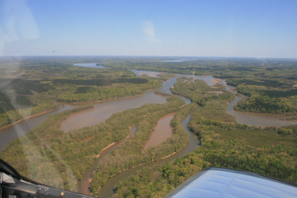
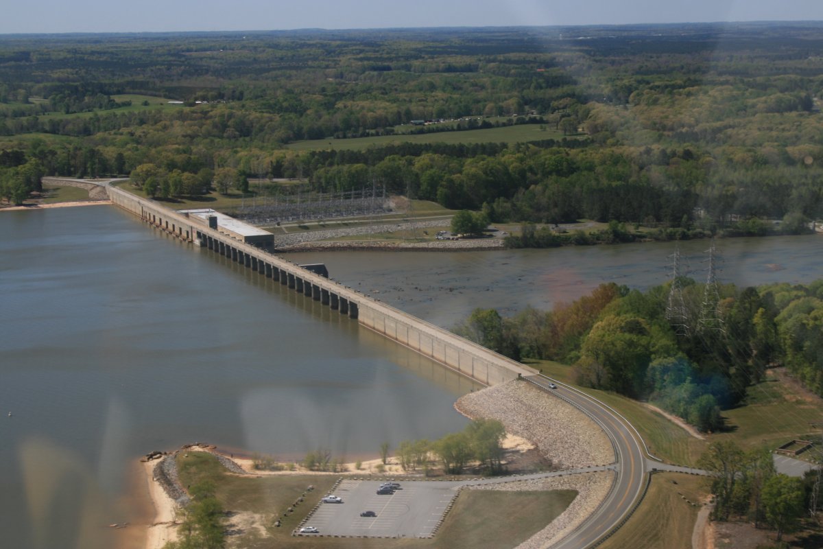
Turns out it is the John H. Kerr reservoir.
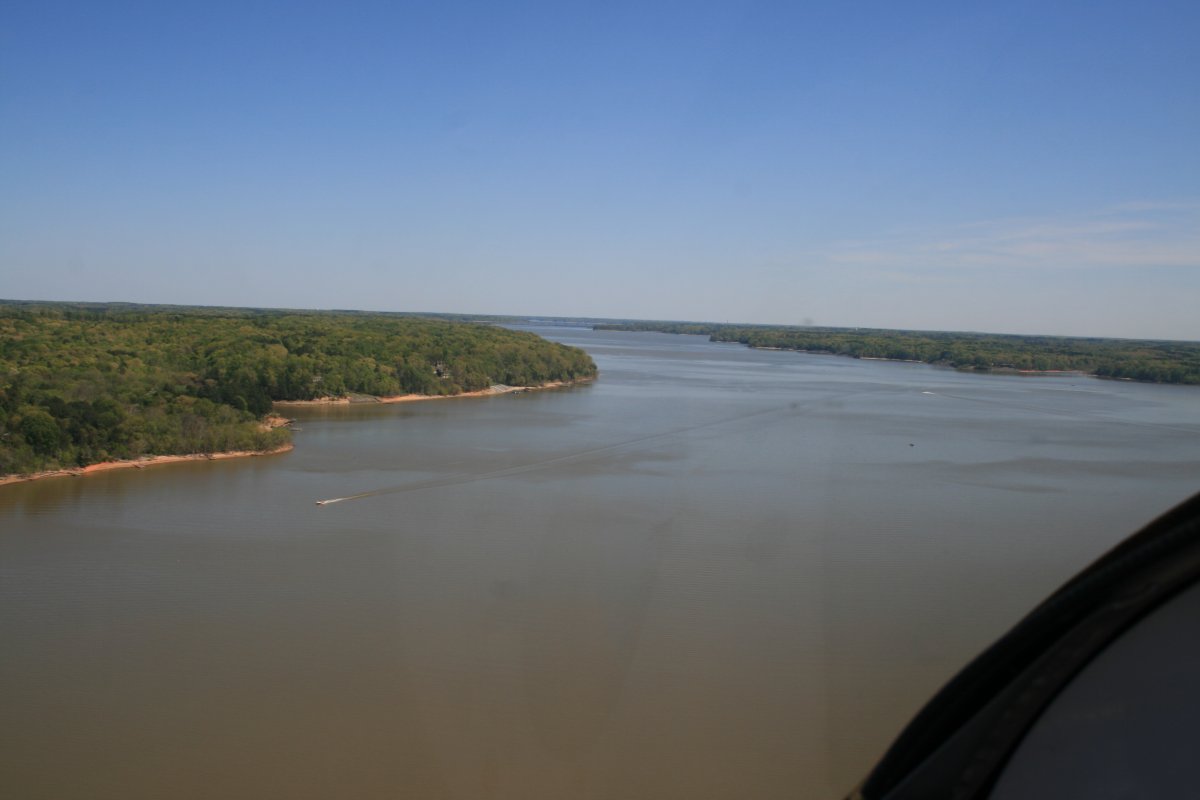
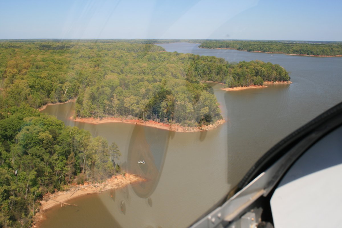
Now it's Lake Gaston. Fast fishing boats dead ahead!
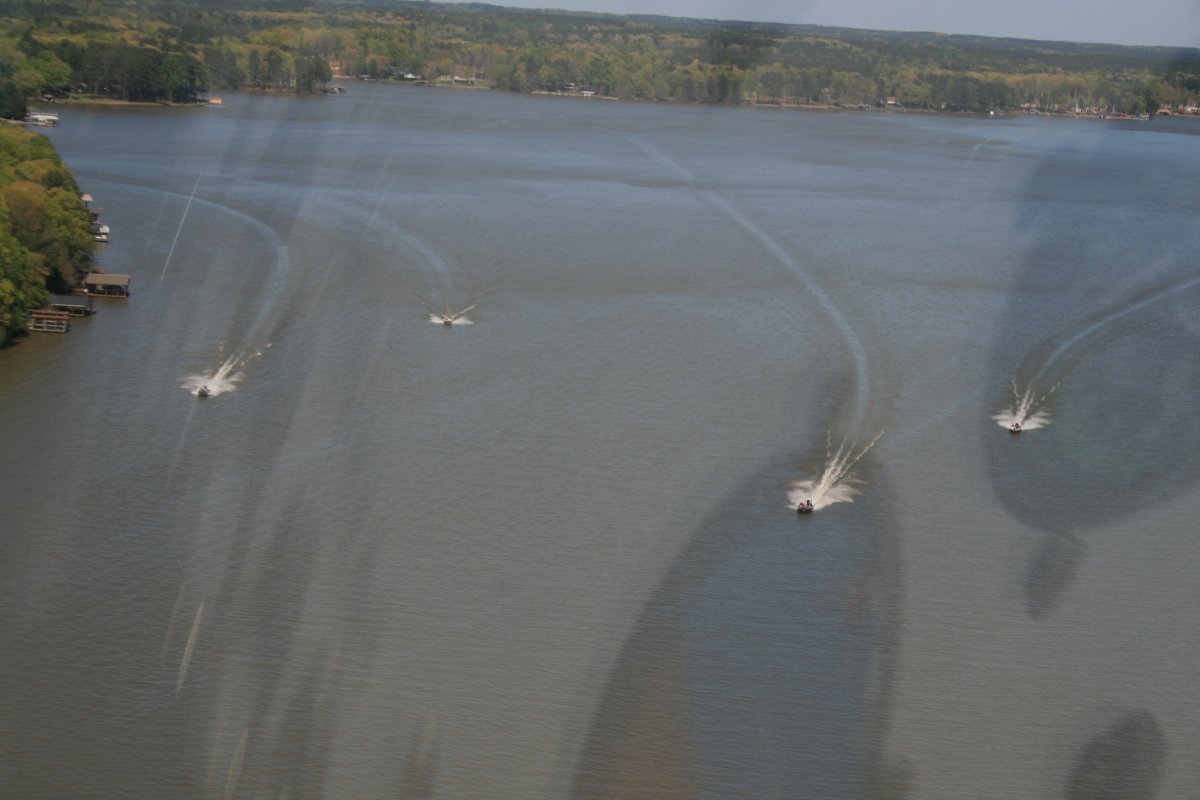
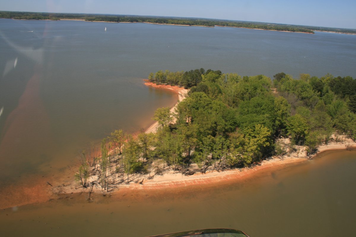
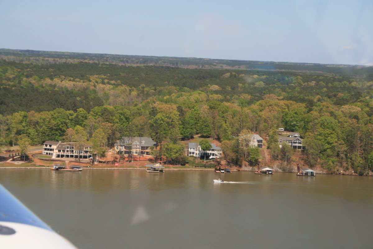
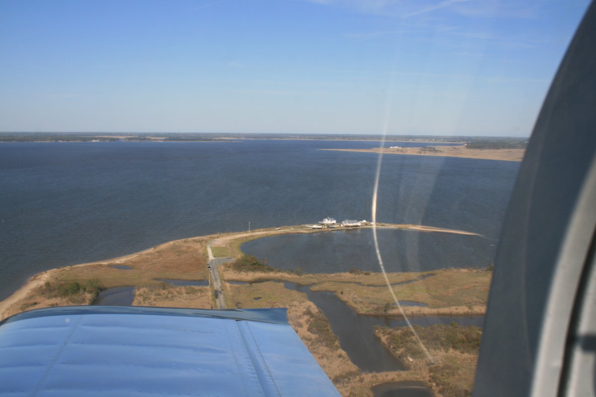
Lots of vacation homes on the Lake.
Finally, the Lake turned into the Roanoke River and turned to the southeast. So I broke off, climbed, and continued almost due east for Norfolk.
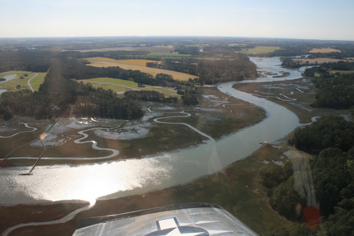
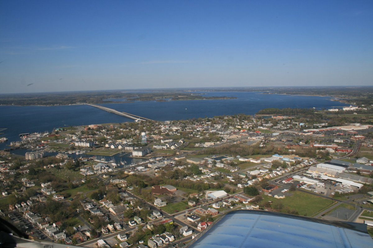
Looking northwest up the James River. Jamestown, where it all began in 1607, is visible in the distance on the right side of the river.
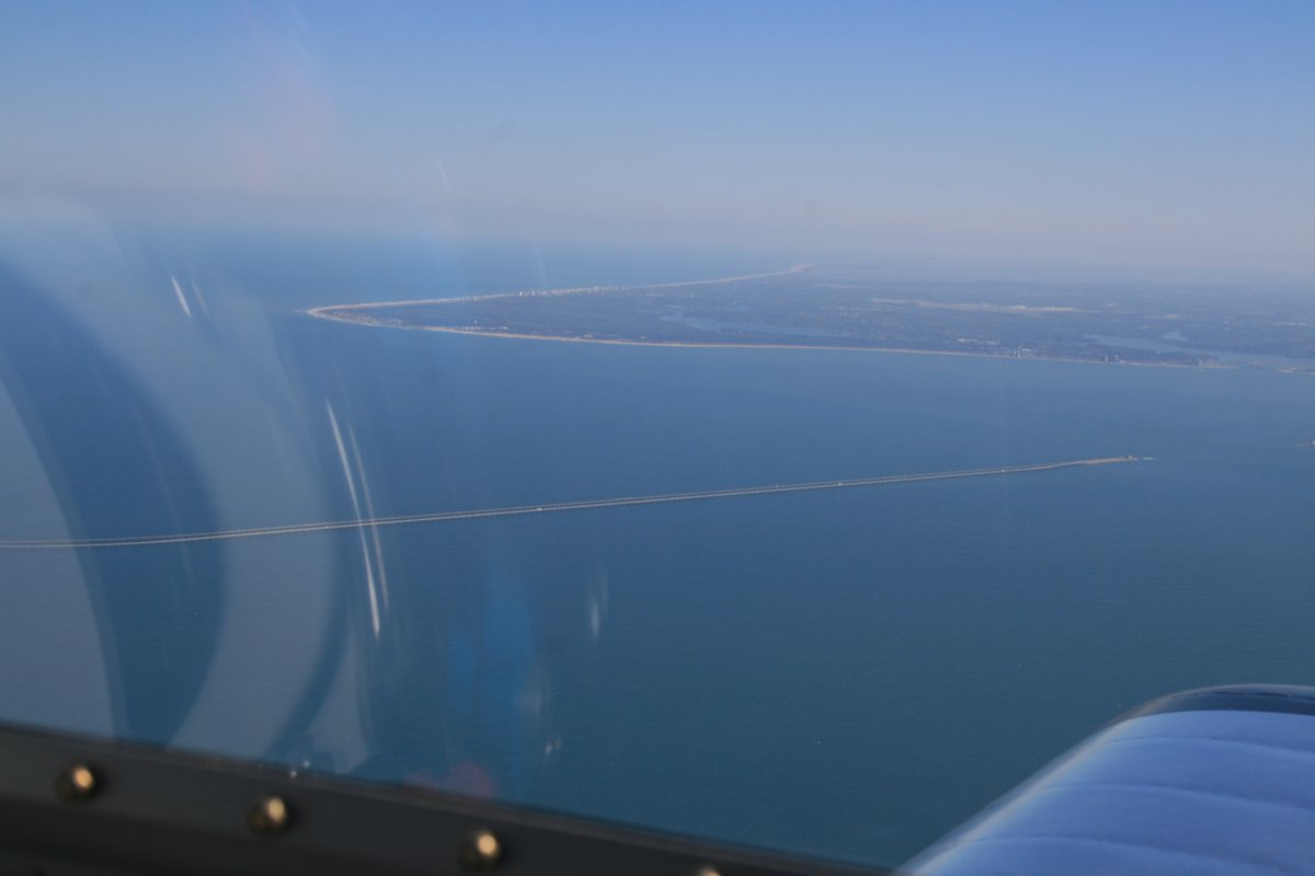
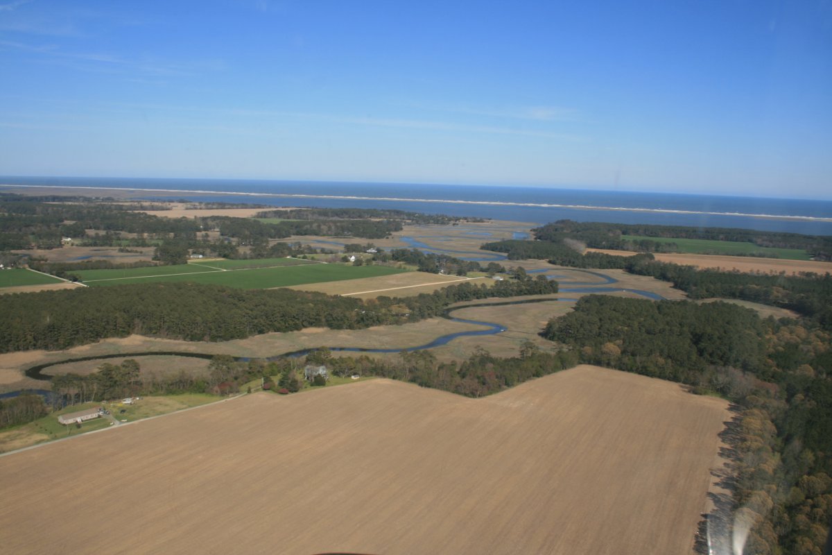
A good look at Cape Henry with Virginia Beach just visible around the bend. And of course there is the Chesapeake Bay Bridge.
Abstract art.

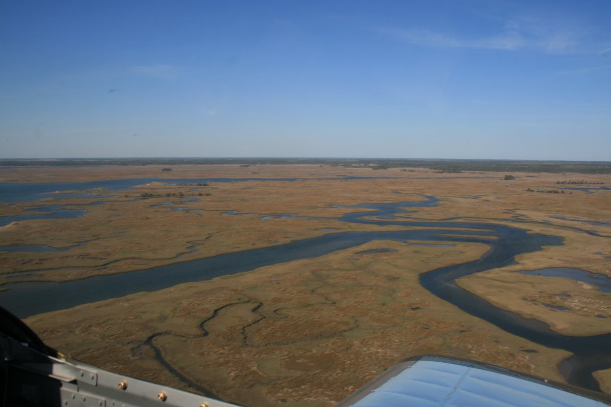
I didn't see a single boat or person the entire way.
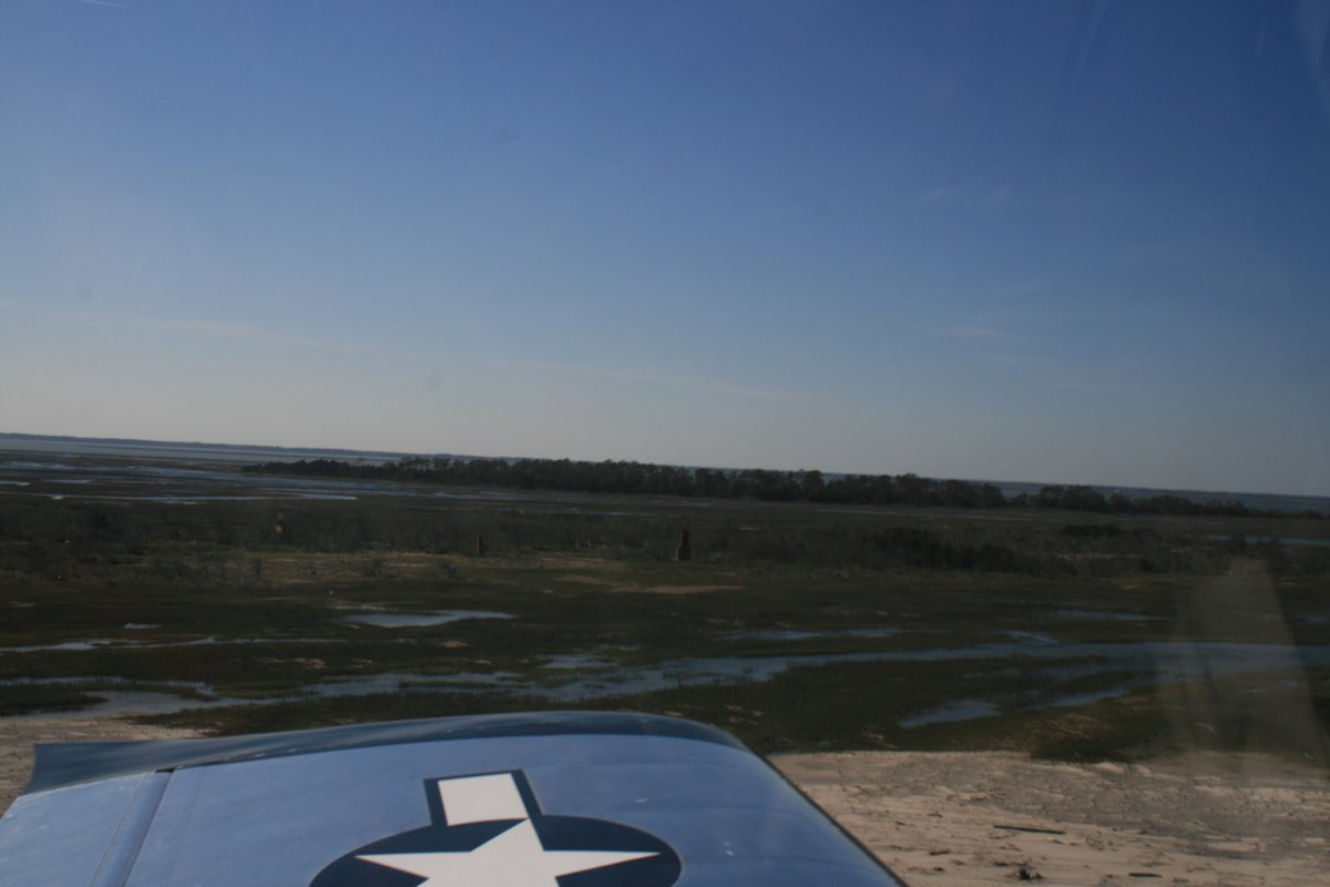
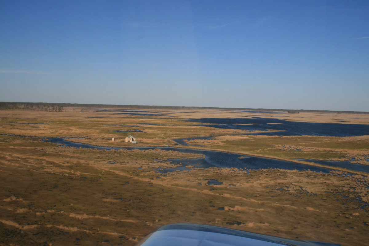
This picture is a little dark but if you look closely at the center, you can see some brick chimneys. The house they belonged to is long gone.
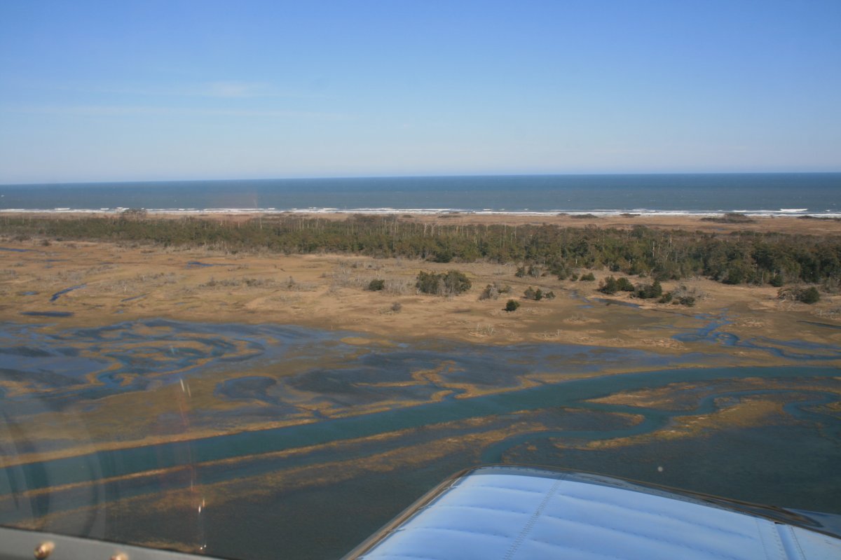
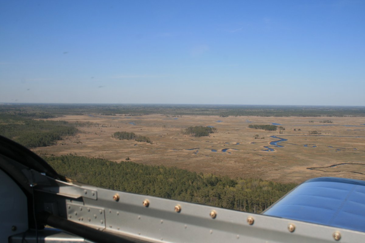
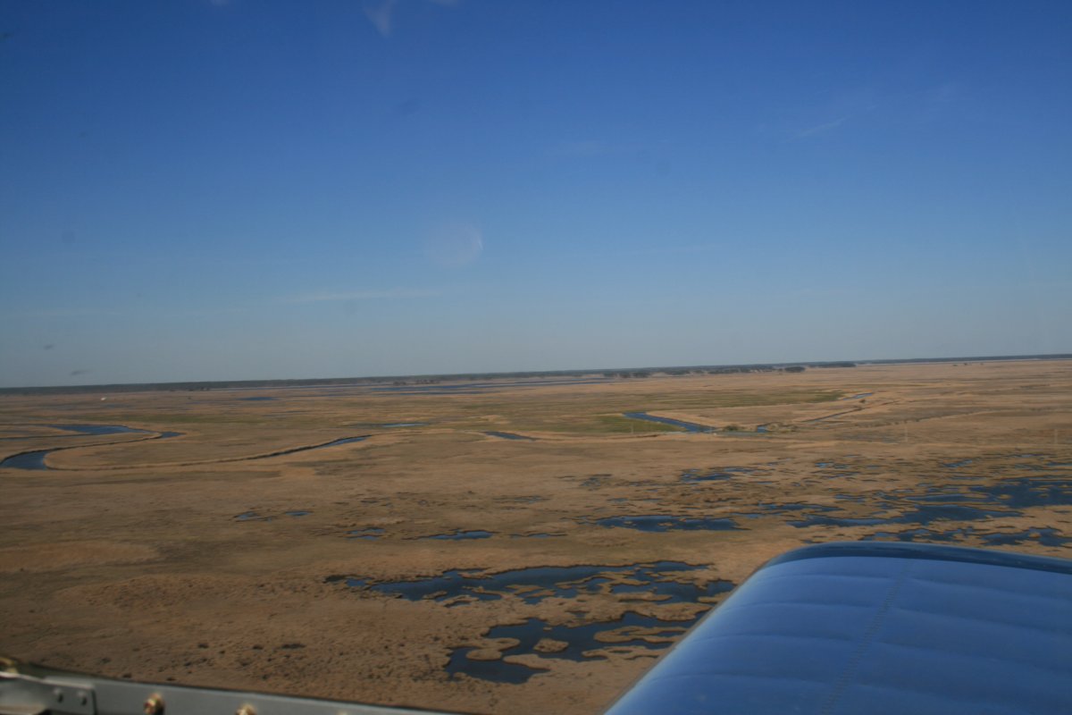
After I left the barrier islands, I headed direct Essex Skypark and motored home. It was still mostly unpopulated the rest of the way and very scenic.
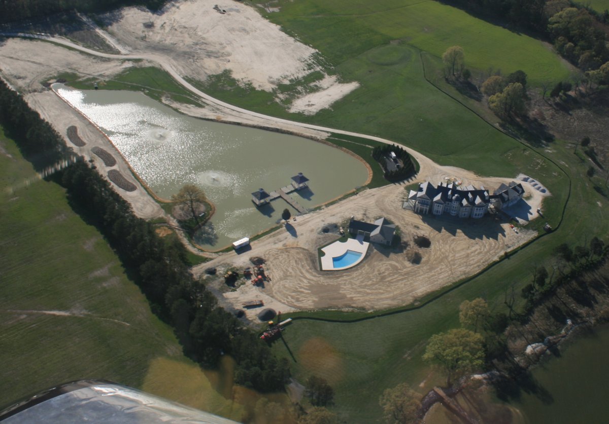
A giant mansion and estate under construction.